


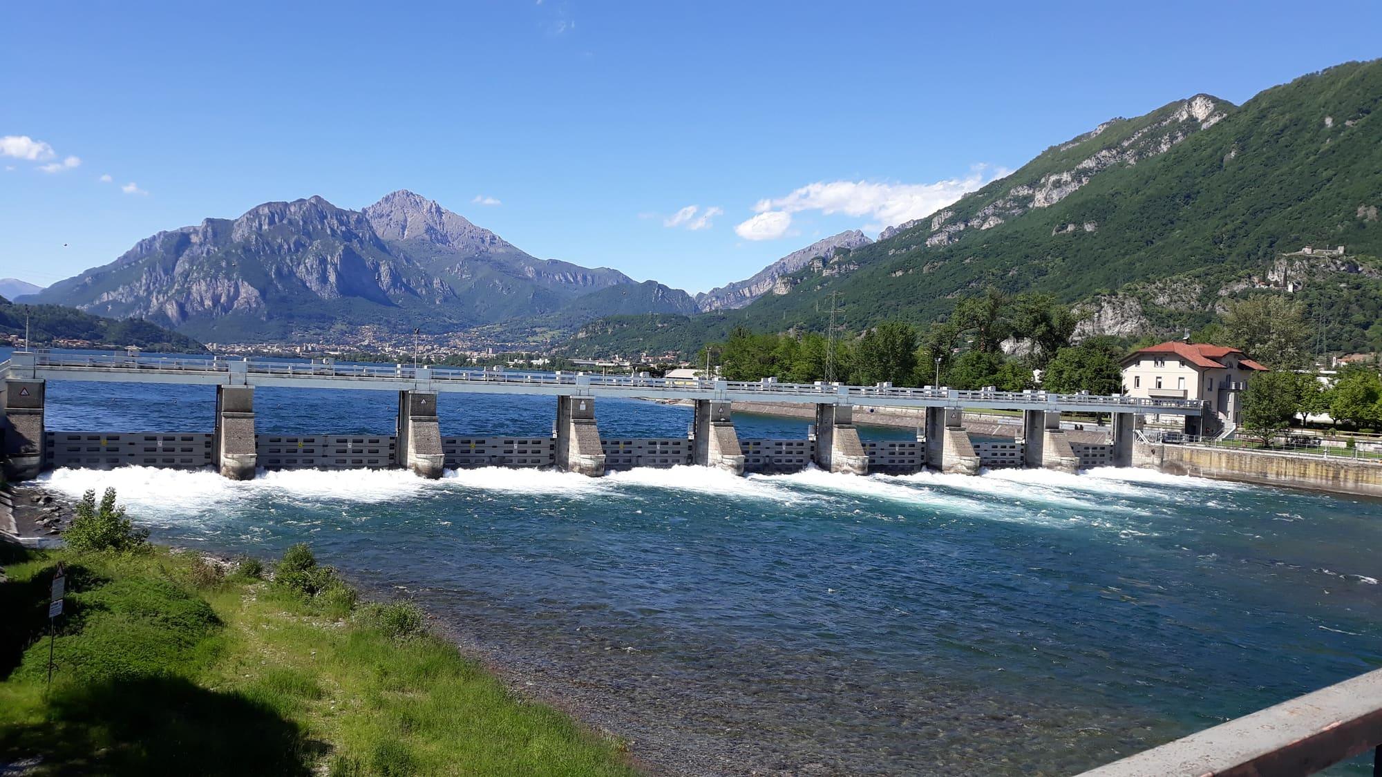
Como branch
Como
Gauge on Viale Geno
There are no hourly readings from this gauge for the last thirty days.
The height of the water measured by the gauges at Como, Malgrate and Colico: the latest reading from each, with its time, and the readings of the last thirty days.
The last update failed: the latest readings remain available, each with its own time.
Como branch
+41 cm
1 November, 06:20
Lecco branch
+36 cm
1 November, 06:20
Upper lake
+40 cm
1 November, 06:00
In centimetres above each gauge's zero: each value is compared with the same gauge's earlier readings, not with the other gauges'.
The level is given in centimetres above each gauge's zero. Readings arrive in batches every six hours, so the latest may be a few hours old. The charts show one reading an hour, and all three share the same vertical scale.
Como branch
Gauge on Viale Geno
There are no hourly readings from this gauge for the last thirty days.
Lecco branch
Valmadrera–Malgrate gauge
There are no hourly readings from this gauge for the last thirty days.
Upper lake
Gauge at the harbour
There are no hourly readings from this gauge for the last thirty days.
Data: ARPA Lombardia · dati.lombardia.it · CC0 1.0
The zero
Each gauge measures the height of the water above a reference point of its own, the gauge zero. A negative value means the water is below that zero. A gauge's figure is compared with that gauge's earlier readings, not with the others'. Each reading is the mean of the ten minutes ending at the time shown.
The gauges
The Como gauge is on the Viale Geno lakefront, in the Como branch. The Malgrate gauge is in the Lecco branch, on the shore opposite the town, just before the Adda leaves the lake. The Colico gauge is at the harbour, on the upper lake.
Who regulates the lake
The lake has a single outflow, the Adda, which leaves it at Lecco. Since 1946 the Consorzio dell'Adda has regulated its level with the Olginate dam, between the lakes of Garlate and Olginate: eight gates, opened and closed to let more or less water out.