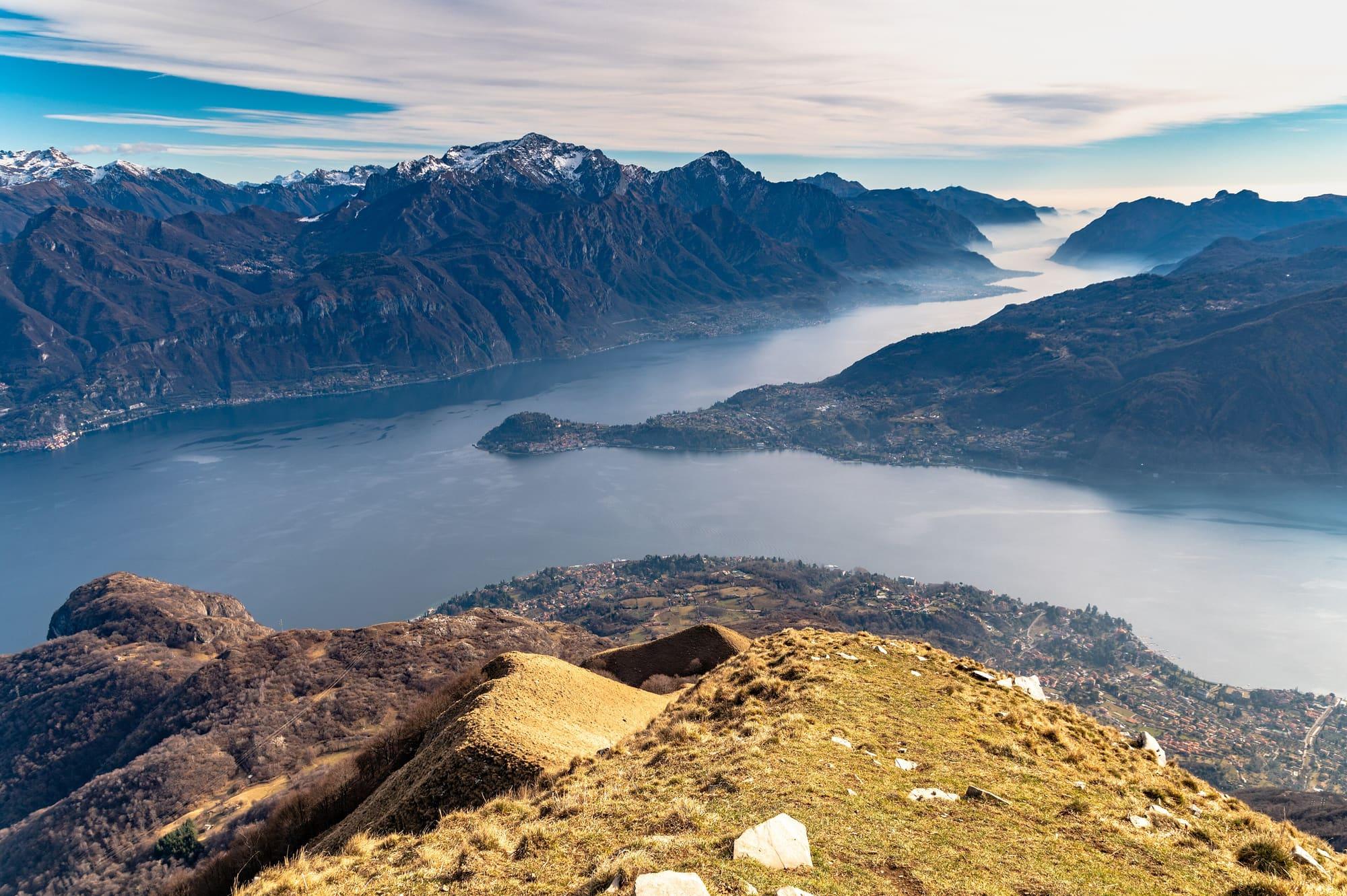
Lake Como has a single outflow, the Adda, which leaves it at Lecco. When the rivers of the valleys bring more water than the Adda can carry away, the level rises, and in Como the first place to go under is Piazza Cavour.
Since 1946 the Consorzio dell'Adda has regulated the lake with the dam at Olginate.
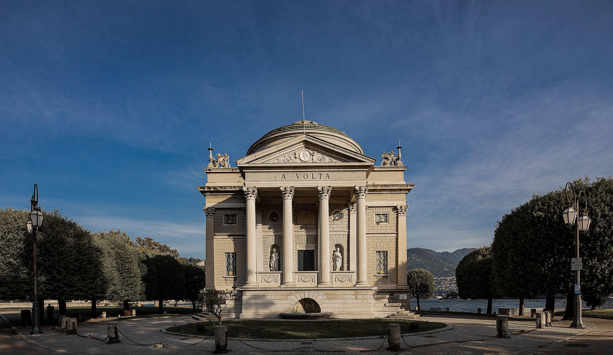
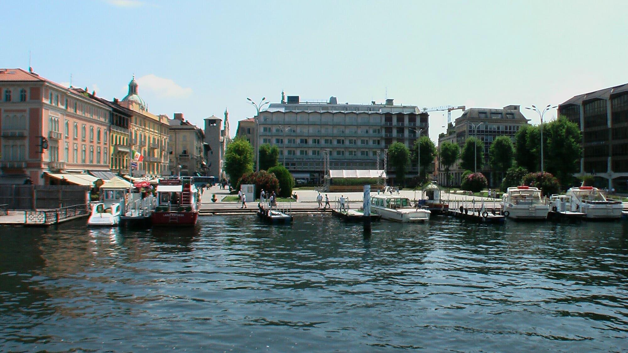
Piazza Cavour, the square in Como that opens onto the lake, was the harbour until 1871, and was made by filling in the basin. A plan of the town from 1818–1823 still shows the harbour; in June 1957 and November 1963 the square was under water again. That is where the lake comes back. By convention, flooding in Como begins when the lake rises more than 120 centimetres above the zero of the Malgrate gauge, which lies at 197.37 metres above sea level. The figure is approximate: the square is not perfectly level, the town round it even less so, the wind pushes the water and the levelling itself has its uncertainties. The Tempio Voltiano, too, opened on the lakefront in 1928, stands on a base more than two metres high, meant to protect it from floods.
The sinking square
The threshold has also moved over time. From 1955 the square sank through subsidence, a phenomenon with various causes, first faster and faster and then slower and slower: the water entered the square at 186 centimetres in 1955, at 125 in 1978 and at 120 in 2003. Between 1955 and 2000 the square sank by about 65 centimetres, above all between 1965 and 1975, and by the early 1990s the sinking had essentially stopped. There is also a second threshold: above 140 centimetres the alarm level is passed, the water spreads into the areas near the shore and the damage becomes serious, for shops, traffic, water mains and sewers.
The bridge at Lecco
The problem is an old one. The first recorded flood dates from 1431, in a ducal letter of 20 September. The Visconti bridge at Lecco, commissioned by Azzone Visconti and built between 1336 and 1338, originally had eight arches. The people of Como were convinced that its bottleneck flooded their town, and to satisfy them a ninth arch was added in 1354 and, after the flood of 1431, a tenth in 1434; in 1440 Francesco Sforza brought them to eleven. The bridge marks the point where, in the opening lines of The Betrothed, the lake ends and the Adda begins again: that is where it is decided how much water leaves the lake.
And the bridge which joins the two banks there seems […] to mark the point where the lake ends and the Adda begins again, only to take the name of lake once more where the banks, drawing apart again, let the water spread out and slow down in new gulfs and new bays.
Alessandro Manzoni, The Betrothed, chapter I
The floods the town remembers
Over the centuries the floods number in the hundreds. The one of 29 June 1673 is recorded by plaques in Via Volta and Via Diaz, by the Teatro Cressoni; that day the water reached the steps of the high altar in the cathedral. On 17 June 1703 it reached the pillars of the organ, and in November 1801, June 1804 and November 1807 the lake came up to the cathedral again. But the flood that remains the yardstick is that of 1868: on 6 October the lake reached 3.97 metres above the Malgrate zero, the highest level on record, and about a third of Como was submerged, with the whole area round the walls. The same century brought the flood of September 1829, at 3.93 metres, and those of June 1855 and September 1888, both over three and a half metres.
The Olginate dam
The modern answer began on the eve of the war. The royal decree-law of 21 November 1938, published in the Gazzetta Ufficiale on 14 January 1939, set up the Consorzio dell'Adda in Milan to build, maintain and operate the regulating works of Lake Como. A royal decree of 19 April 1942 fixed the limits of regulation, between 1.20 metres above and 0.50 below the zero of the Fortilizio gauge. The works are a dam just upstream of the bridge between Olginate and Calolziocorte, between the lake of Garlate and that of Olginate, in the very stretch where, in Manzoni's words, the Adda takes the name of lake again. It is about 150 metres long, stands on compressed-air foundations and is divided into eight 14-metre openings, closed by flat roller gates four metres high that can be worked both electrically and by hand. On the left is a navigation lock, today used occasionally to help fish swim up towards the lake. Built between 1940 and 1946, the dam has been in operation since 1946.
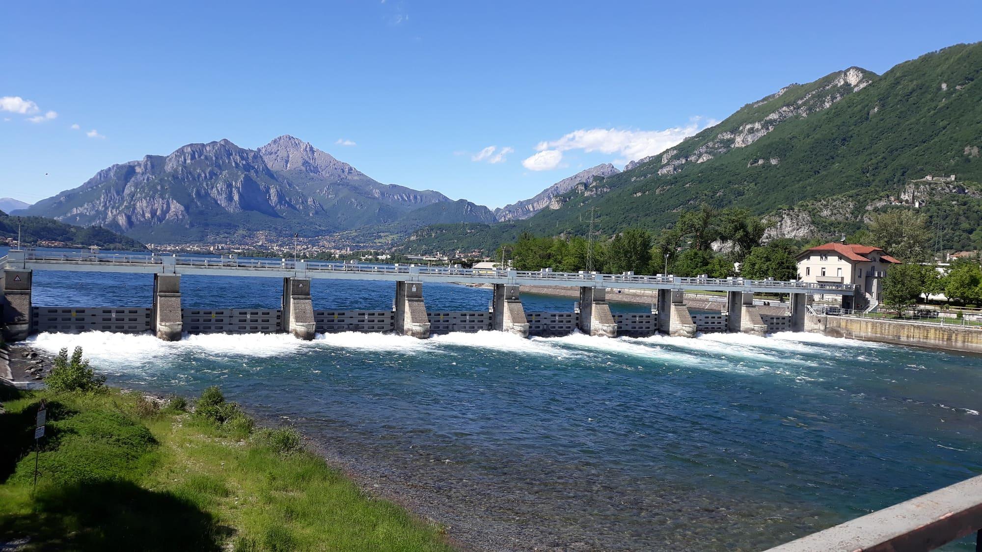
The dam alone was not enough: to let more water out, the lake's outlet had to be widened. The works were completed by improving the course of the Adda between the lake and the Robbiate dam, a stretch of twenty-two kilometres; since there are lake basins along the way, only the rapids at Lecco, Olginate, Lavello and Brivio were actually worked, five and a half kilometres in all. The bed was lowered and in places widened, digging out five hundred thousand cubic metres of material, and the piers of the Visconti bridge at Lecco had to be strengthened and the bridge between Olginate and Calolziocorte lengthened. The dam serves more than one interest. The Consorzio brings together those who use the water of the lake and of the Adda downstream, hydroelectric plants and irrigation consortia of the plain, and regulation holds water back in floods to release it in dry spells; but by keeping the lake's highest levels lower it also reduces the number of times Piazza Cavour goes under water.
How much the dam matters
With no regulation at all, between 1959 and 2000 Piazza Cavour would have been flooded on average 37 days a year, and 27.1 with the Alpine reservoirs alone; with the reservoirs and the dam together the days were 7.6. In 1987, the year of the Valtellina flood, without regulation the water would have covered the square for 85 days and risen to 2.2 metres above the threshold; with the dam the days were 30 and the highest level 1.43 metres. There is another side too: by widening the lake's outlet, regulation generally increases the Adda's flood flows downstream, but in the largest floods the increase becomes less and less noticeable, until it almost disappears.
Floods on a regulated lake
Regulation reduces floods; it does not abolish them. The highest level since regulation began is 2.64 metres above the Malgrate zero, reached twice: on 21 July 1987 and on 15 October 1993. That autumn the lake stayed above flood level for thirty-three days in a row. On 18 July 1987 an average of 1,836 cubic metres of water a second flowed into the lake, and on 20 July 917.7 left it through the dam, the highest daily outflow on record. On 26 November 2002 the inflow reached 1,849.7 cubic metres a second, higher still, and two days later the lake touched 2.615 metres. On 7 January 2008 work began on Como's lakefront on the paratie, the flood barriers.
Historical events linked to this story are collected in the Lake timeline.