


Discover
Photographing the lake
Thirteen spots chosen for their light: which way they face, when the sun reaches them, what is in the frame. Sunrise, sunset and golden hour are calculated for today, for each spot's coordinates and for the ridge in front of it.
What am I seeing
The mountains around you, each with its name, height and distance, from where you stand; on a phone the panorama turns with the compass.
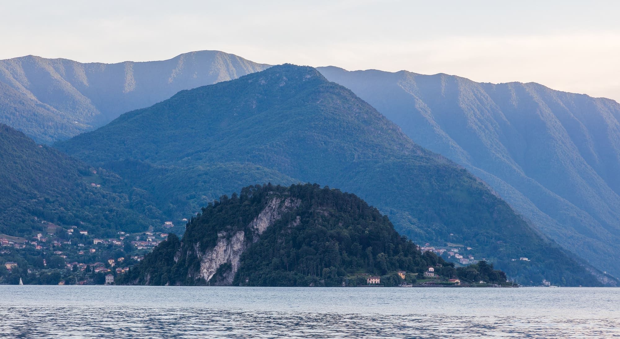
Today's light at the centre of the lake
The times for the centre of the lake are astronomical and do not account for terrain. For the photo spots, the calculation includes the mountain profile, which can delay the arrival of direct sun or bring forward its disappearance.
The first sun and the last on the peaks
Today's hours appear here, worked out by your browser.
| Peak | First sun | Last sun |
|---|---|---|
| Monte Legnone 2609 m | — | — |
| Sasso Canale 2411 m | — | — |
| Grignone 2410 m | — | — |
| Pizzo di Gino 2245 m | — | — |
| Grignetta 2177 m | — | — |
| Monte Bregagno 2107 m | — | — |
| Resegone 1875 m | — | — |
| Monte Grona 1736 m | — | — |
| Monte Generoso 1701 m | — | — |
| Monte San Primo 1682 m | — | — |
The view from the summits
Ten summits round the lake and what each one sees, all round: in layers, from the nearest and darkest to the farthest and palest, with the peaks in view named out to two hundred kilometres.
From up here, at 2410 metres, the highest in view is Mont Blanc, 4807 m, 196 kilometres away.
- Pizzo Stella, 3163 m, 48 km
- Monte Legnone, 2609 m, 16 km
- Piz Platta, 3392 m, 61 km
- Piz Duan, 3131 m, 49 km
- Pizzo Cengalo, 3369 m, 42 km
- Cima di Castello, 3378 m, 45 km
- Piz Fora / Sassa di Fora, 3364 m, 53 km
- Piz Bernina, 4049 m, 63 km
- Sasso Rosso, 3488 m, 63 km
- Corno di Dosdè, 3232 m, 79 km
- Ortler, 3905 m, 109 km
- Monte Cevedale, 3769 m, 110 km
- Cima di Caione, 3141 m, 97 km
- Cima Giumella Est, 2697 m, 46 km
- Punta di Scais, 3038 m, 48 km
- Carè Alto, 3465 m, 95 km
- Pizzo Arera, 2512 m, 33 km
- Pointe de Charbonnel, 3752 m, 195 km
- Gran Paradiso, 4061 m, 171 km
- Monte Emilius, 3559 m, 158 km
- Mont Blanc, 4807 m, 196 km
- Matterhorn, 4478 m, 134 km
- Dom, 4545 m, 119 km
- Lagginhorn, 4010 m, 110 km
- Breithorn, 3438 m, 106 km
- Bietschhorn, 3934 m, 129 km
- Aletschhorn, 4195 m, 122 km
- Finsteraarhorn, 4274 m, 117 km
- Ritzlihorn, 3282 m, 116 km
- Dammastock, 3630 m, 107 km
- Fleckistock, 3416 m, 109 km
- Scopi, 3190 m, 81 km
- Adula - Rheinwaldhorn, 3402 m, 66 km
- Fanellhorn, 3123 m, 69 km
- Pizzo Tambo, 3280 m, 61 km
- Surettahorn - Pizzo Suretta, 3027 m, 62 km
From two metres above the top, one degree at a time all round, on the Lombardy Region's ground with its woods and outside the region on the open heights; heights are stretched four times; the ochre line is today's sun, with the minute it reaches the top and the minute it leaves. A peak past twenty-two kilometres is marked only if, with its line walked again on finer heights, it stands above everything in front of it; seeing it is then up to the air: at a hundred kilometres and more it takes a very clear day.
Where the great peaks are seen from
The Mont Blanc, the Monte Rosa, the Matterhorn: from the villages, the ten summits and the photo spots, where they truly stand above everything in front of them — the distance beside each, the nearest first. Whether they show is then up to the air: past a hundred kilometres it takes a very clear day.
Mont Blanc
4807 m
Monte Rosa, Dufourspitze
4634 m
- Sighignola belvedere87 km
- Monte Generoso89 km
- Brunate96 km
- Pizzo di Gino101 km
- Monte San Primo104 km
- Monte Grona105 km
- Monte Bregagno106 km
- Grignone118 km
- Grignetta118 km
- Sasso Canale119 km
- Monte Legnone121 km
- Resegone125 km
Dom
4545 m
- Sighignola belvedere89 km
- Monte Generoso92 km
- Pizzo di Gino99 km
- Brunate101 km
- Monte Grona105 km
- Monte Bregagno105 km
- Monte San Primo107 km
- Sasso Canale116 km
- Grignone119 km
- Grignetta120 km
- Monte Legnone120 km
- Resegone128 km
Weisshorn
4505 m
- Pizzo di Gino110 km
- Monte Bregagno116 km
- Sasso Canale127 km
- Grignone130 km
- Monte Legnone131 km
Matterhorn
4478 m
- Sighignola belvedere103 km
- Monte Generoso106 km
- Pizzo di Gino116 km
- Monte San Primo120 km
- Monte Grona121 km
- Monte Bregagno121 km
- Sasso Canale133 km
- Grignone134 km
- Grignetta134 km
- Monte Legnone136 km
- Resegone141 km
Finsteraarhorn
4274 m
- Pizzo di Gino91 km
- Sighignola belvedere92 km
- Monte Generoso97 km
- Monte Bregagno98 km
- Monte San Primo109 km
- Monte Legnone111 km
- Grignone117 km
- Grignetta120 km
- Resegone129 km
Jungfrau
4158 m
- Sighignola belvedere102 km
- Pizzo di Gino102 km
- Monte Generoso106 km
- Monte San Primo119 km
- Monte Legnone122 km
- Grignone128 km
- Grignetta130 km
- Resegone139 km
Gran Paradiso
4061 m
- Sighignola belvedere143 km
- Monte Generoso143 km
- Brunate146 km
- Faro Voltiano147 km
- Monte San Primo157 km
- Pizzo di Gino160 km
- Monte Grona162 km
- Monte Bregagno164 km
- Grignetta171 km
- Grignone171 km
- Resegone175 km
- Monte Legnone178 km
- Sasso Canale179 km
Piz Bernina
4049 m
- Monte Legnone50 km
- Monte Bregagno62 km
- Grignone63 km
- Monte Grona64 km
- Grignetta65 km
- Pizzo di Gino66 km
- Resegone68 km
- Monte San Primo75 km
- Monte Generoso85 km
Ortler
3905 m
- Monte Legnone99 km
- Grignone109 km
- Grignetta111 km
Monte Disgrazia
3678 m
- Sasso Canale31 km
- Monte Legnone32 km
- Grignone45 km
- Monte Bregagno45 km
- Rifugio Menaggio and Monte Grona47 km
- Monte Grona47 km
- Grignetta48 km
- Pizzo di Gino49 km
- Resegone51 km
- Monte San Primo58 km
- Lanzo d'Intelvi65 km
- Monte Generoso68 km
Adamello
3539 m
- Monte Legnone84 km
- Resegone86 km
- Sasso Canale89 km
- Grignetta90 km
- Domaso90 km
- Gravedona ed Uniti92 km
- Monte Bregagno99 km
- Pizzo di Gino104 km
Piz Badile
3309 m
- Sasso Canale20 km
- Domaso26 km
- Monte Legnone26 km
- Dongo31 km
- Musso31 km
- Pianello del Lario33 km
- Cremia34 km
- San Siro36 km
- Monte Bregagno36 km
- Monte Grona39 km
- Pizzo di Gino39 km
- Grignone41 km
- Grignetta44 km
- Resegone49 km
- Monte San Primo51 km
- Monte Generoso60 km
The spots
Sunset spots
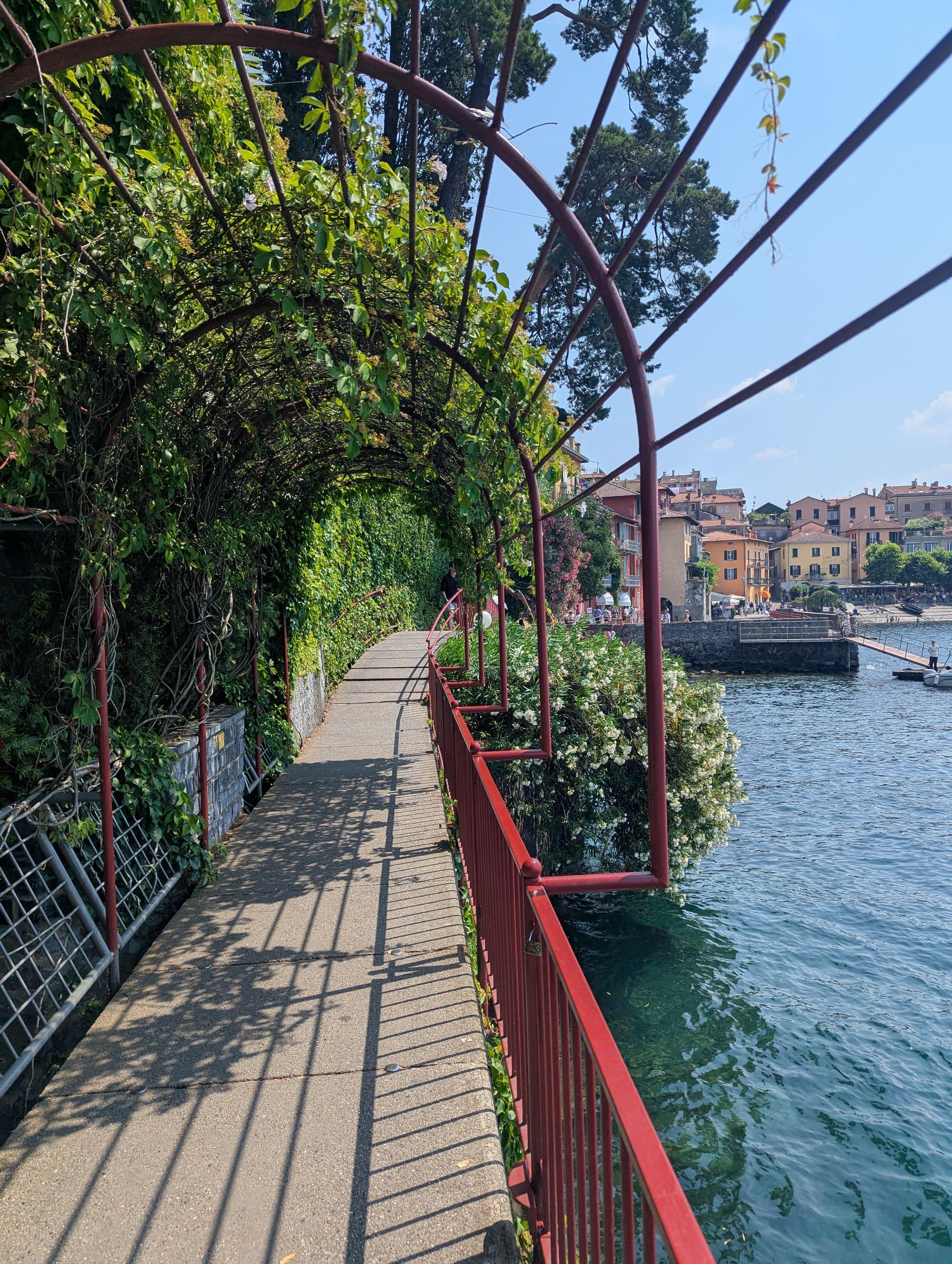
Passeggiata degli Innamorati
Faces westBest light sunset
In the frameThe red walkway over the water with Varenna's houses behind and Bellagio opposite, from the stretch near the pier.
The tipIt faces west: the sun drops behind the mountains of Menaggio and for twenty minutes the red railing and the ochre façades take the same light. Then the blue hour, with Bellagio's lights.
See from here where the sun goes, in 3D
The panorama, with the summits named
Full moonTue 24 Nov · 19:03 · east
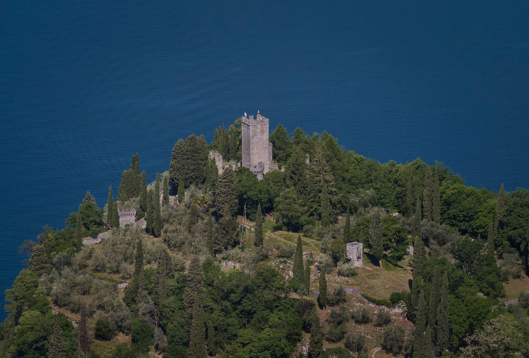
Castello di Vezio
Faces south-westBest light sunset
In the frameFrom the tower: the whole centre of the lake, Bellagio on its point and the two branches opening. The white figures in the meadow in the foreground, if you like.
The tipThe castle closes before the real sunset for most of the year: the good hour is the last of opening, with the sun low from the south-west. Check the day's hours.
See from here where the sun goes, in 3D
The panorama, with the summits named
Full moonTue 24 Nov · 18:19 · east
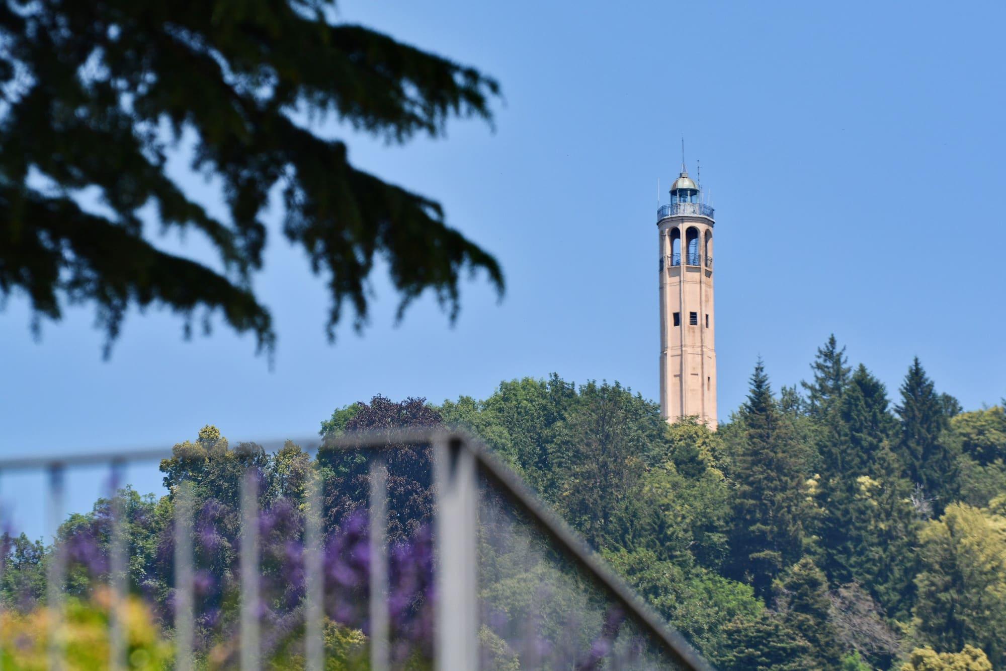
Faro Voltiano
Faces southBest light sunset
In the frameThe whole of Como with the first basin, from the terrace at the top of the lighthouse; on clear days Monte Rosa to the west.
The tipIn winter there is the dry air and the city lights coming on below; in late September and mid-March the sun sets right behind Monte Rosa, in winter further south. Go up half an hour before sunset. Check access conditions at the lighthouse before visiting.
See from here where the sun goes, in 3D
The panorama, with the summits named
Full moonTue 24 Nov · 17:29 · north-east
Sighignola belvedere
Faces westBest light sunset
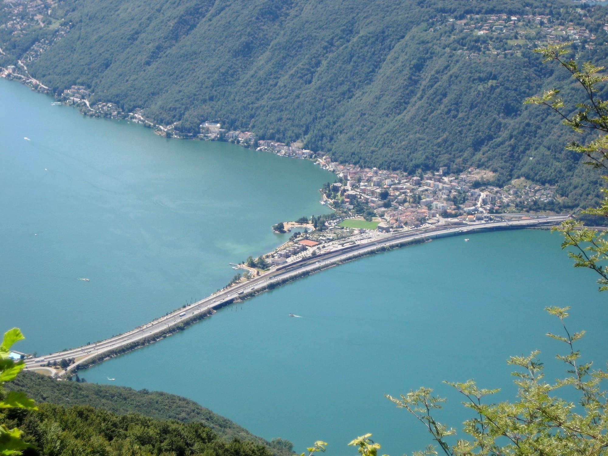
In the frameLake Lugano a thousand metres below, the Alps behind: the “Balcone d'Italia”, from the balustrade.
The tipIt faces west and stands high: sunset lasts longer here than on the lake, and the blue hour over the Ceresio is long. By car, and with a jacket even in July.
See from here where the sun goes, in 3D
The panorama, with the summits named
Full moonTue 24 Nov · 17:06 · north-east
Lecco lakefront and the Grigne
Faces northBest light sunset
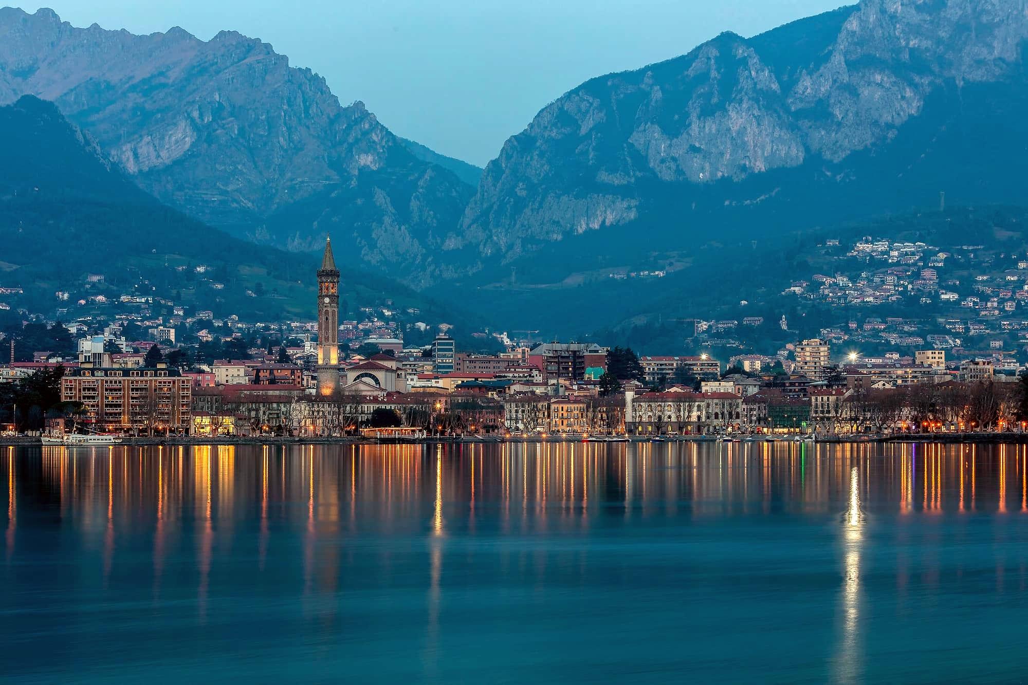
In the frameThe Grigne and the San Martino above the lake, from the shore between the Ponte Vecchio and the Malpensata, the branch opening northwards and the Resegone behind you.
The tipThe walls face south-west: they catch the last sun when the town is already in shadow, and for ten minutes they are pink, especially in winter.
See from here where the sun goes, in 3D
The panorama, with the summits named
Full moonTue 24 Nov · 17:40 · north-east
Brunate, from the funicular station
Faces south-westBest light sunset
In the frameComo from above with the lake ending in the city, from the belvedere beside the upper station, five hundred metres up.
The tipSeven minutes of funicular and you are in the right place for sunset over the city: the light comes from the west over the first basin and Como's lights come on before the blue hour. Late runs in summer.
See from here where the sun goes, in 3D
The panorama, with the summits named
Full moonTue 24 Nov · 18:05 · east
Sunrise spots
Villa del Balbianello from the water
Faces eastBest light morning
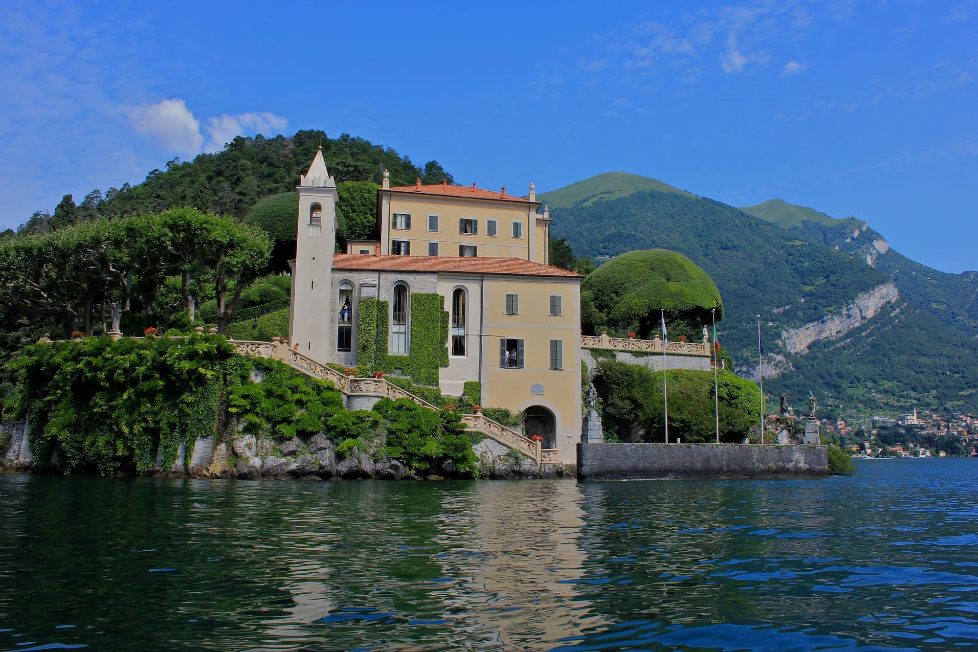
In the frameThe loggia and the clipped plane trees on the Lavedo point, from the boat or the taxi-boat rounding the headland.
The tipThe lakeside façade faces east: the good light is the morning, until eleven. In the afternoon it is backlit, which is another photograph, with silver water.
See from here where the sun comes from, in 3D
The panorama, with the summits named
Full moonTue 24 Nov · 16:51 · north-east
Sacro Monte di Ossuccio
Faces eastBest light morning
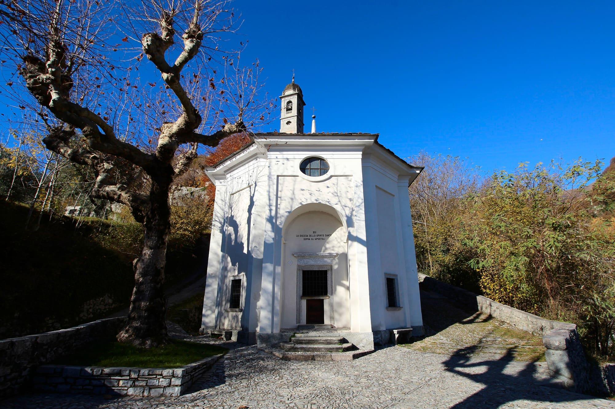
In the frameThe Isola Comacina and the centre of the lake between the chapels, from the upper stretch of the sacred way, above the last chapel.
The tipIt looks east over the island: early in the morning the sun rises behind the Grigne and the island is lit while the water is still dark. Half an hour's climb, best in spring.
See from here where the sun comes from, in 3D
The panorama, with the summits named
Full moonTue 24 Nov · 16:47 · north-east
Menaggio lakefront
Faces eastBest light morning
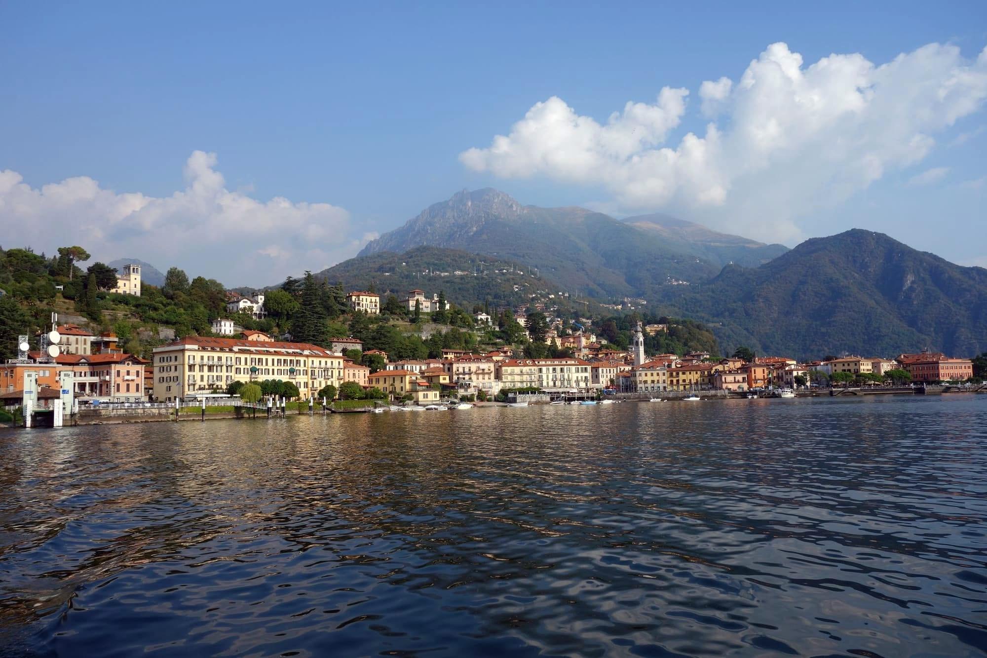
In the frameVarenna and the Grigne across the water, the harbour boats in the foreground; from the promenade towards the lido.
The tipThe western shore has the evening sun, but the photograph is the morning: sunrise — behind the Grigne in the cold months, further north in summer — puts the mountains in silhouette and Varenna in raking light.
See from here where the sun comes from, in 3D
The panorama, with the summits named
Full moonTue 24 Nov · 17:07 · north-east
Rifugio Menaggio and Monte Grona
Faces south-eastBest light morning
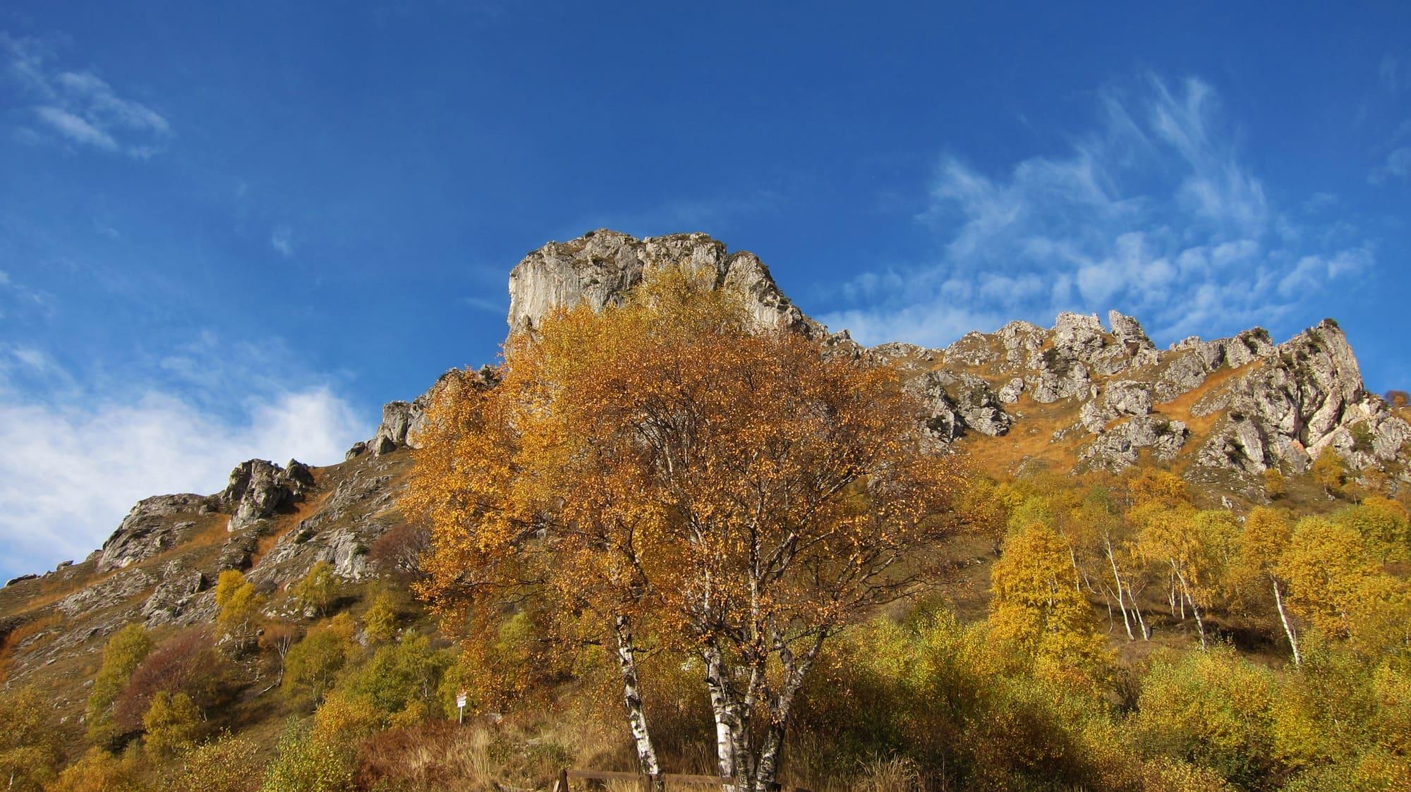
In the frameThe centre of the lake from above, Bellagio in the middle of the water and the Grigne opposite, from the hut's terrace or the ridge.
The tipIt faces south-east: in autumn and winter the sun rises right behind the Grigne, in summer further north over the Legnone, and either way it means leaving the Monti di Breglia in the dark, with a head torch. The lake below is often under haze until nine.
See from here where the sun comes from, in 3D
The panorama, with the summits named
Full moonTue 24 Nov · 16:29 · north-east
Sunrise and sunset spots
Punta Spartivento
Faces northBest light sunrise and sunset
In the frameBoth branches and the upper lake from one point: the upper lake ahead, Varenna to the right, Menaggio to the left. From the parapet at the end of the public garden.
The tipAt sunrise the light comes from the right and lights the western shore; at sunset the upper lake turns violet. In between, in July, the water is flat and white.
See from here where the sun goes, in 3D
The panorama, with the summits named
Full moonTue 24 Nov · 17:42 · north-east
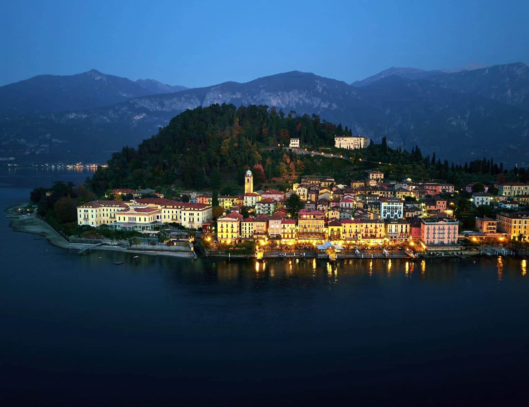
Bellagio from the ferry
Faces southBest light sunrise and sunset
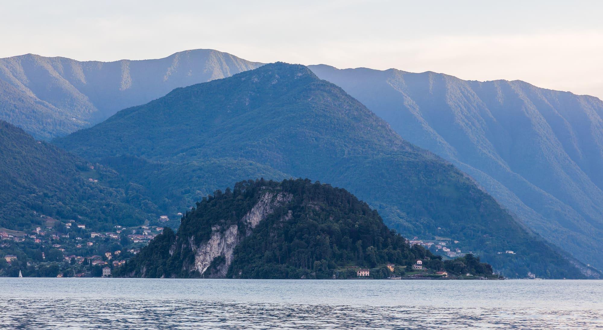
In the frameThe point with Villa Serbelloni and the climb of houses, from the ferry's outer deck arriving from Varenna or Menaggio.
The tipFrom Varenna in the morning, from Menaggio in the afternoon: the ferry brings you in from the lit side. Fifteen minutes' crossing, the photograph in the last three.
See from here where the sun goes, in 3D
The panorama, with the summits named
Full moonTue 24 Nov · 17:36 · north-east
Midday spots
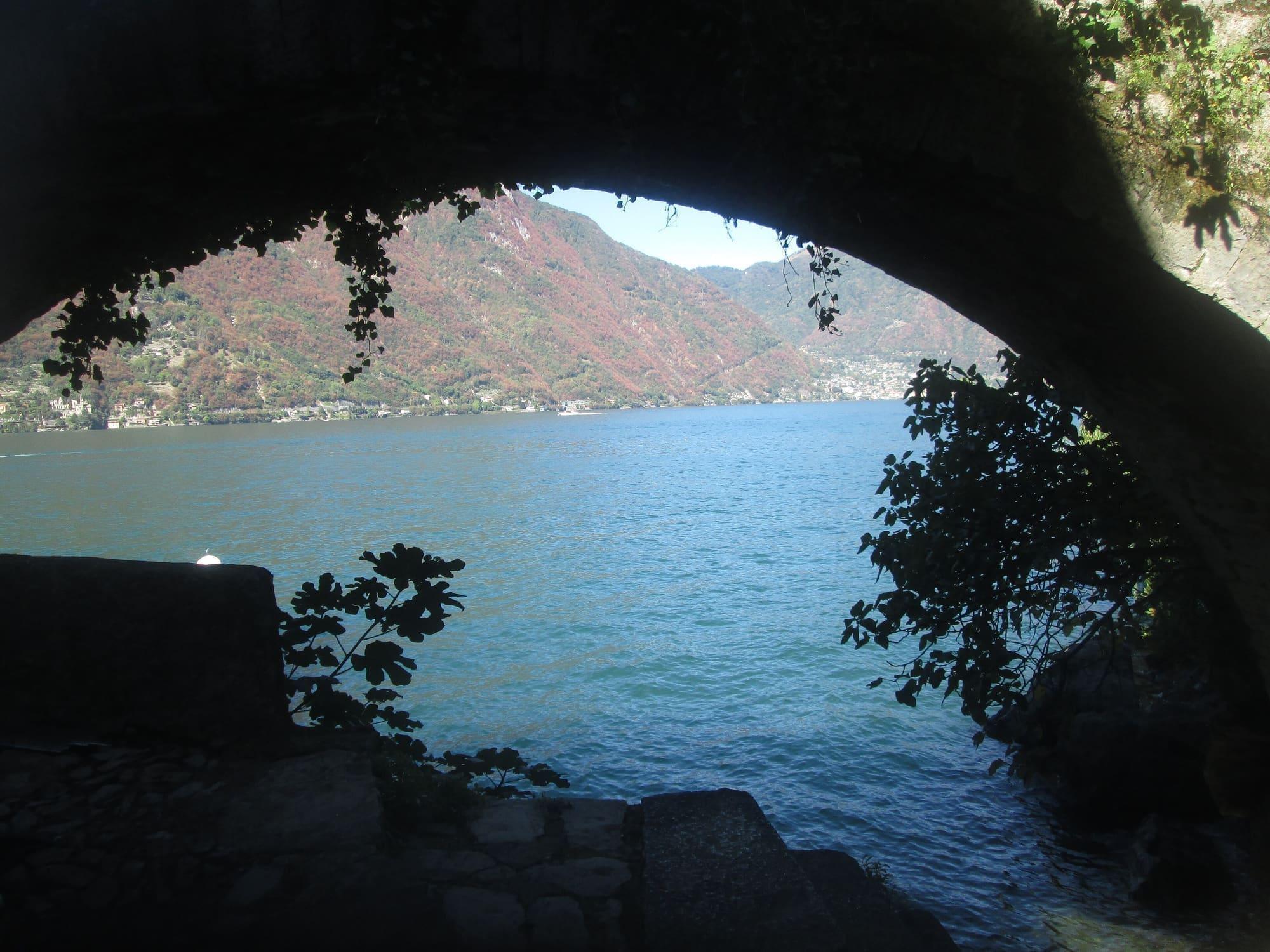
Ponte della Civera, Nesso
Faces eastBest light midday
In the frameThe stone arch over the gorge with the waterfall behind, from the little pebble beach at the mouth, below.
The tipThe gorge is nearly always in shadow: the sun enters only around midday, the one hour when the waterfall and the bridge share the same light. In spring there is more water.
See from here where the sun goes, in 3D
The panorama, with the summits named
Full moonTue 24 Nov · 20:16 · east
All the spots on the map
© OpenStreetMap contributors · ODbL