Skip to content

Bellagio

Punta Spartivento

Visit duration
20–45 min
Booking
Not required
Area
Centro Lago
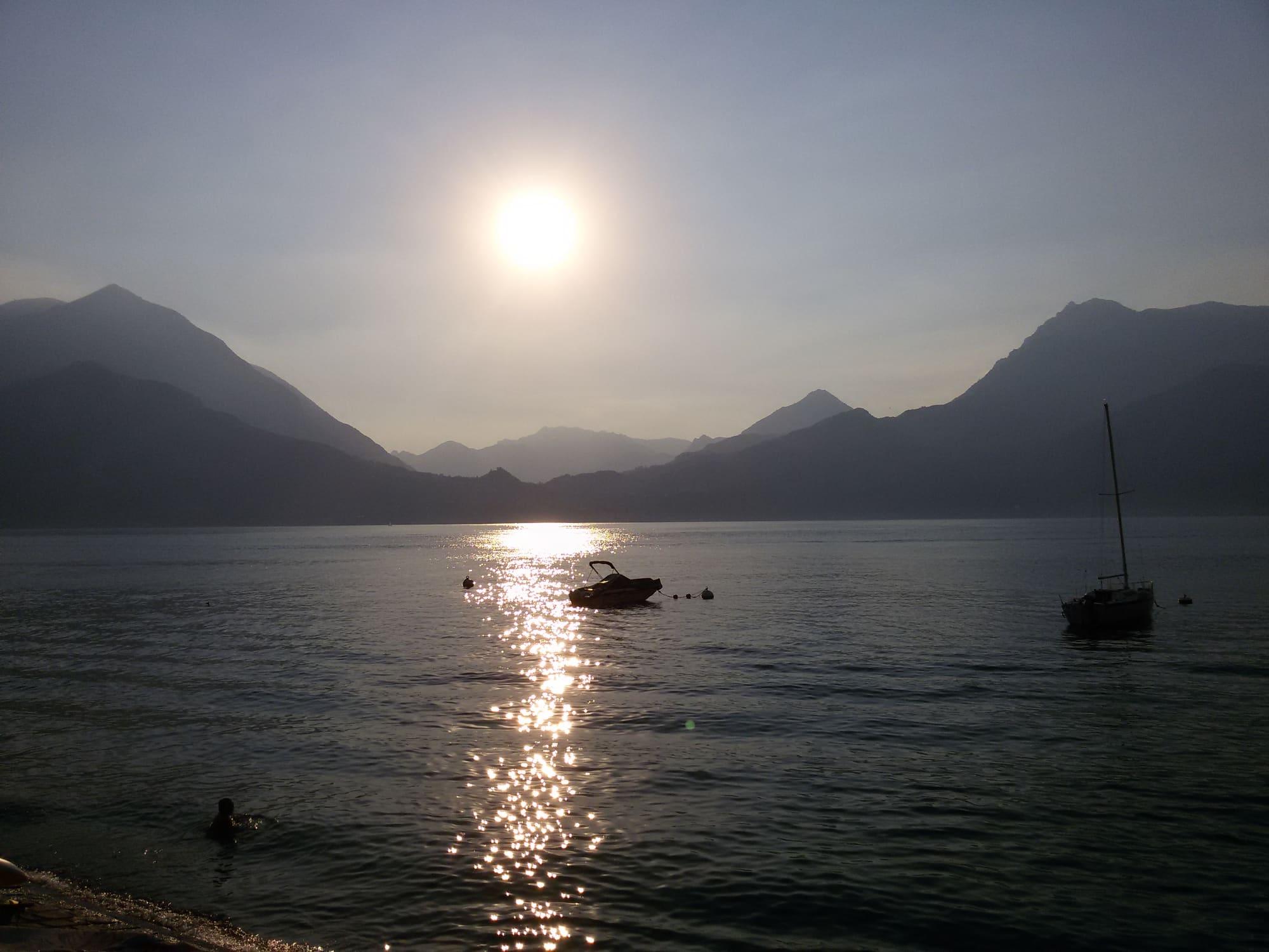
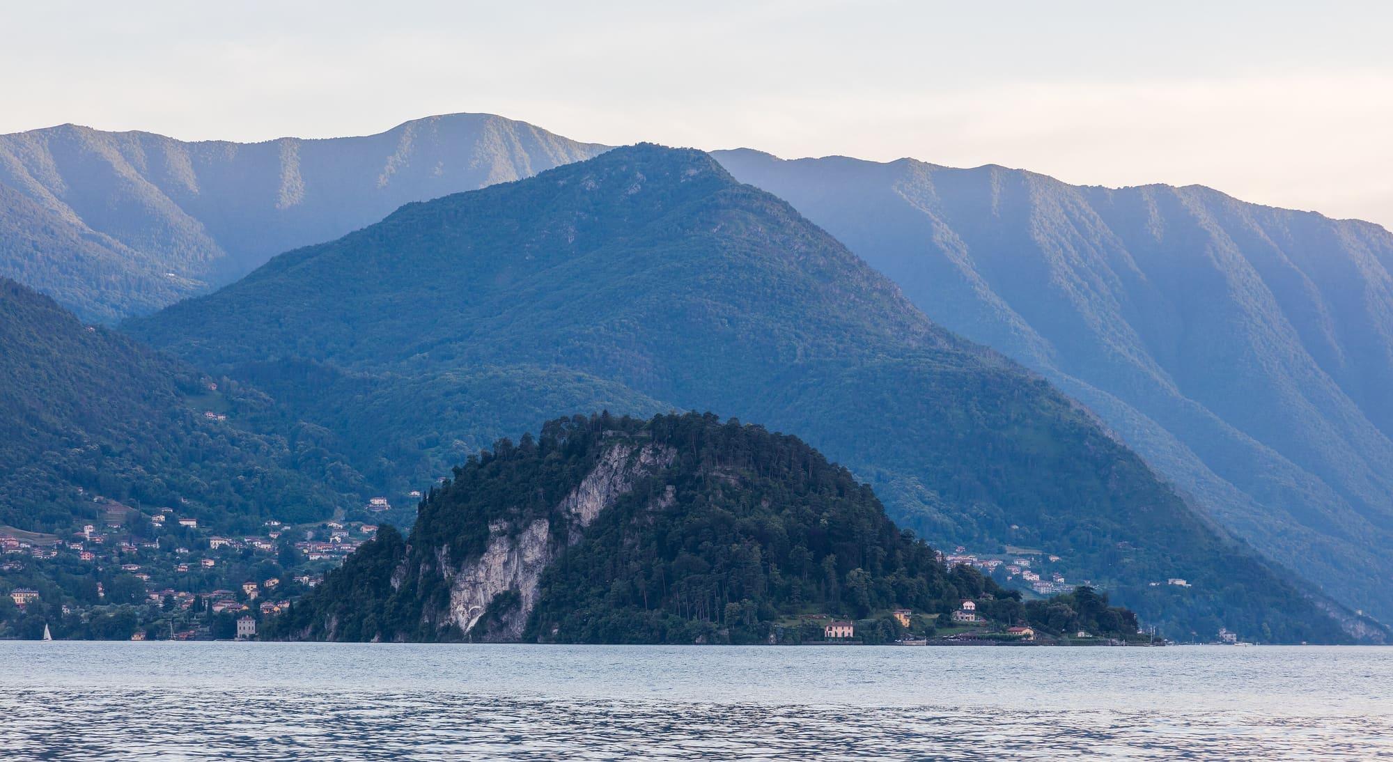
The tip of the Bellagio promontory, where the lake divides into two branches.Diego Delso · CC BY-SA 4.0
  • Zairon · CC BY-SA 4.0
  • PederBu · CC BY-SA 4.0

1 / 3

The tip of the Bellagio promontory, where the lake divides into two branches.

Diego Delso · CC BY-SA 4.0

Why go

Punta Spartivento is the northern tip of the Bellagio promontory, the point of the Triangolo Lariano where the lake divides.

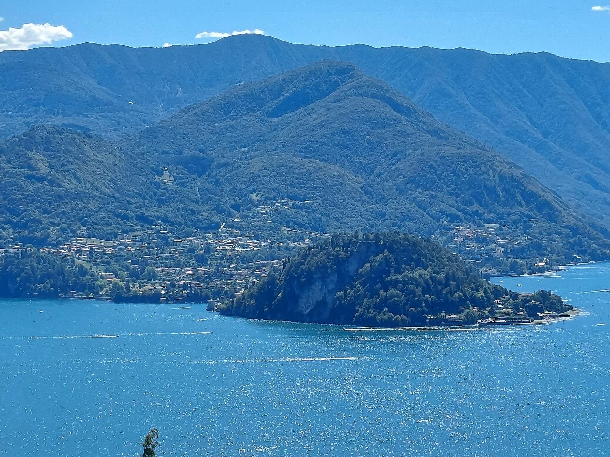
From here you see the Como branch, the Lecco branch and the upper lake stretching towards the Alps all at once, with mountains all around. Behind it rises the wooded hill on which Villa Serbelloni stands. It is a short detour from the old centre, about ten minutes' level walk from the landing stage in Piazza Mazzini. At the point there is a terrace over the water; below it, a small pebble beach looks across to the western shore and its mountains.
  • From the point, Varenna is in view to the east and Menaggio to the west.

Highlights

  • The terrace over the water
  • The small beach below the point

Getting there

  • Ten level minutes on foot from the centre of Bellagio along the shore.
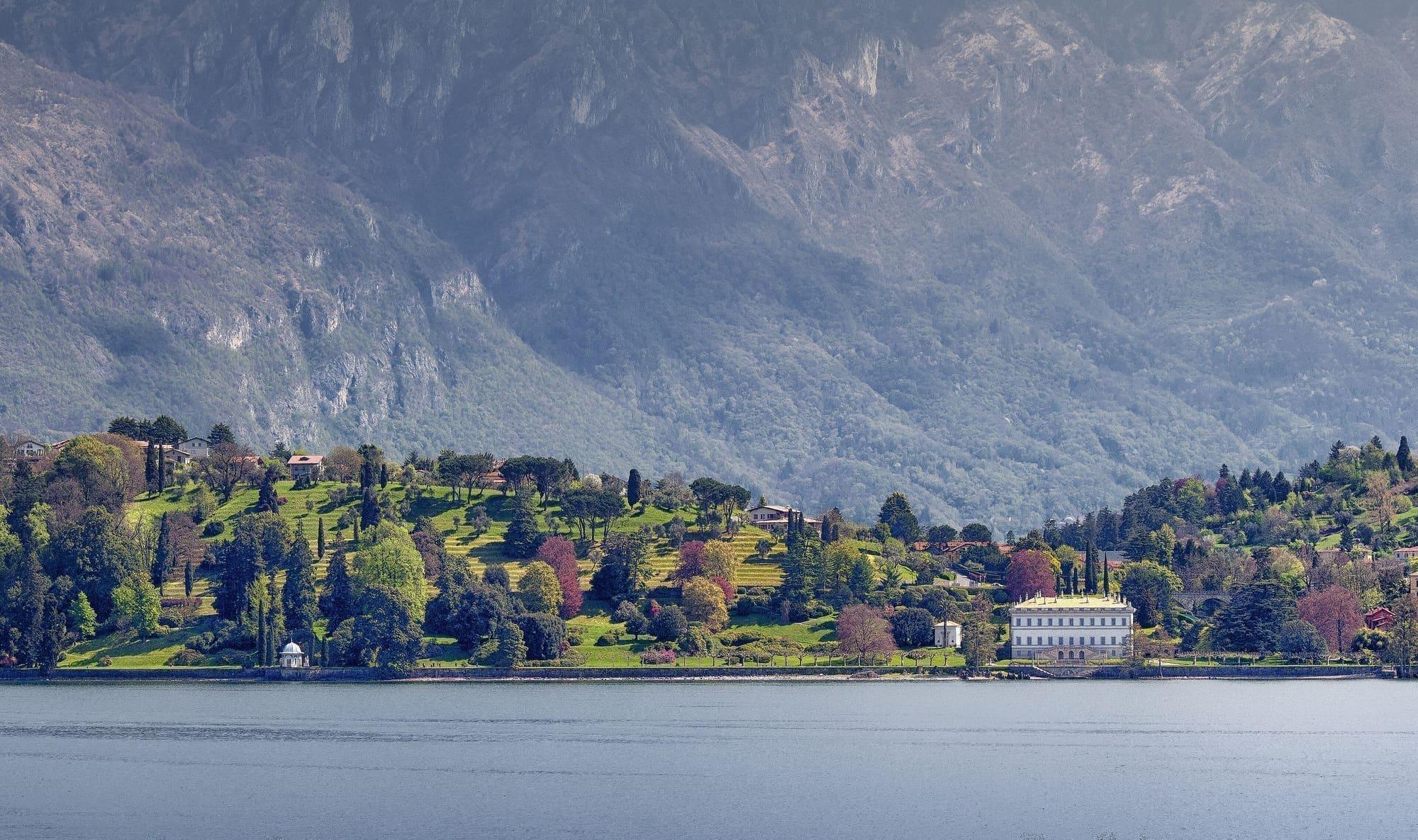
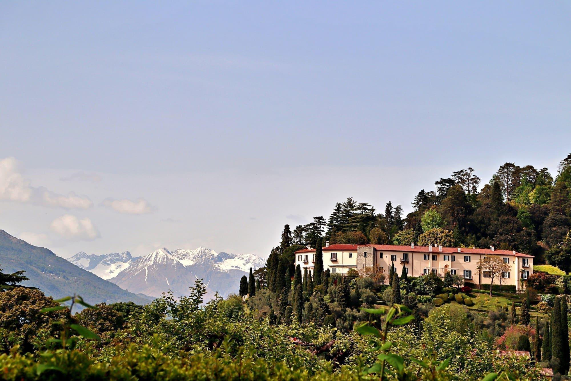
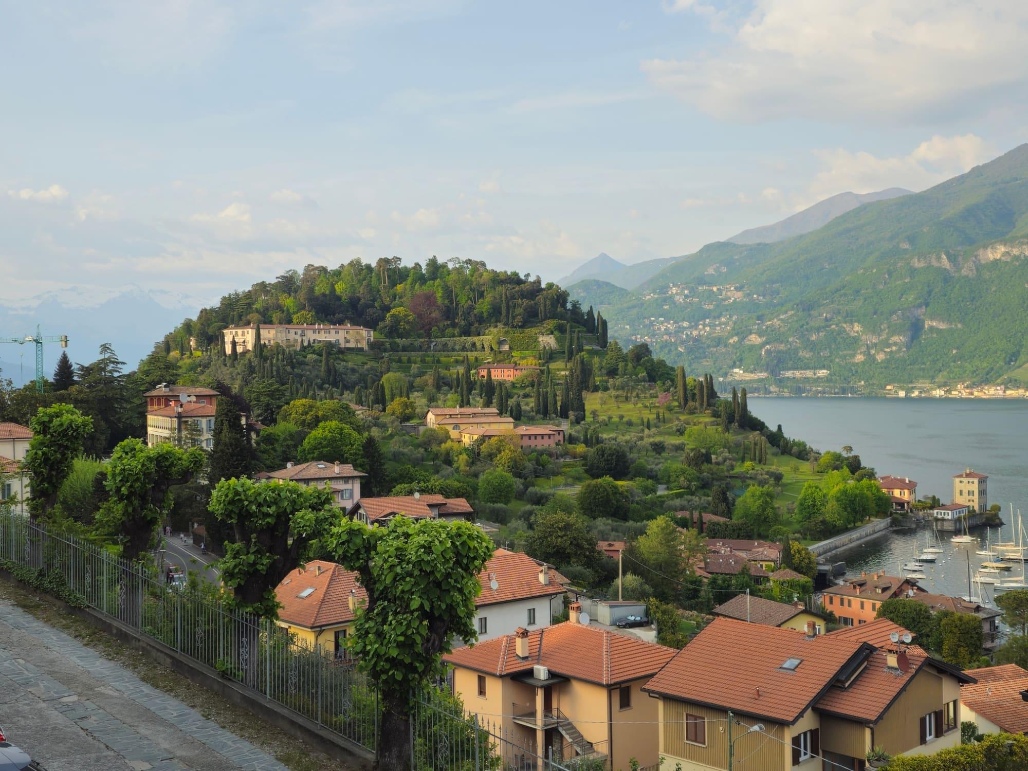
The Bellagio promontory seen from high up across the lake: the wooded hill running down to the point, blue water all round and the mountains behind.Ysogo · CC BY-SA 4.0

Practical information

Facilities

Car park 70 m away · free

Distances from the point on the map.

The light

At sunrise the light comes from the right and lights the western shore; at sunset the upper lake turns violet. In between, in July, the water is flat and white.

Faces
north
Best light
sunrise and sunset
Full moon
Tue 24 Nov · 17:42 · north-east
JuneDecember
15°30°09:0411:44ESW
The skyline measured every two degrees out to twenty-two kilometres, and to two hundred where the near mountains let the Alps show. The solid line is the sun's arc at the summer solstice, which leaves the top of the frame; the dashed one is the winter solstice, with the hour it comes out from behind the mountain and the hour it goes back.

See from here where the sun goes, in 3D

All the photo spots

Webcams

Updated 20 October 2026

The mountains from here

The highest summit in view from here is Monte Galleggione, 3107 m, 45 kilometres away.

Open the panorama with the summits by name
Sasso Gordona, 1410 m, 16.8 kmSasso Gordona1410Monte San Zeno, 1025 m, 15.2 kmMonte San Zeno1025Pizzo della Croce, 1491 m, 17.3 kmPizzo della Croce1491Monte Pasquella, 1331 m, 12.1 kmMonte Pasquella1331Cima della Duaria, 1446 m, 9.2 kmCima della Duaria1446Monte di Tremezzo, 1699 m, 6.3 kmMonte di Tremezzo1699Monte Crocione, 1641 m, 5.6 kmMonte Crocione1641Il Dossone, 903 m, 4 kmIl Dossone903Sasso San Martino, 862 m, 3.7 kmSasso San Martino862Monte Pidaggia, 1528 m, 11.2 kmMonte Pidaggia1528Mottone della Tappa, 2130 m, 20 kmMottone della Tappa2130Forcolette dell'Allegria, 1565 m, 11.8 kmForcolette dell'Allegria1565Monte Grona, 1736 m, 8.9 kmMonte Grona1736Monte Bregagnino, 1905 m, 10.6 kmMonte Bregagnino1905Pizzo Campanile, 2459 m, 26.9 kmPizzo Campanile2459 · 27 kmPizzo Cavregasco, 2535 m, 27.7 kmPizzo Cavregasco2535 · 28 kmPizzo Ledù, 2505 m, 27.2 kmPizzo Ledù2505 · 27 kmSasso Canale, 2411 m, 26.8 kmSasso Canale2411 · 27 kmMonte Galleggione, 3107 m, 45.2 kmMonte Galleggione3107 · 45 kmMonte Legnoncino, 1711 m, 13.1 kmMonte Legnoncino1711Monte Albiga, 917 m, 5.1 kmMonte Albiga917Monte Croce di Muggio, 1799 m, 9.7 kmMonte Croce di Muggio1799Monte San Defendente, 1326 m, 4.7 kmMonte San Defendente1326Sasso Mattolino, 1508 m, 6.1 kmSasso Mattolino1508Monte Croce, 1780 m, 7 kmMonte Croce1780Grigna Settentrionale, 2410 m, 10.3 kmGrigna Settentrionale2410Monte Cucco, 1432 m, 5.9 kmMonte Cucco1432Grigna Meridionale, 2177 m, 12.4 kmGrigna Meridionale2177Zucco Pertusio, 1671 m, 10.9 kmZucco Pertusio1671Zucco di Manavello, 1120 m, 10 kmZucco di Manavello1120SWWNWNNEESES
  • Pizzo Cavregasco, 2535 m, 28 km
  • Pizzo Ledù, 2505 m, 27 km
  • Sasso Canale, 2411 m, 27 km
  • Monte Galleggione, 3107 m, 45 km
  • Monte Legnoncino, 1711 m, 13 km
  • Monte Albiga, 917 m, 5 km
  • Monte Croce di Muggio, 1799 m, 10 km
  • Monte San Defendente, 1326 m, 5 km
  • Sasso Mattolino, 1508 m, 6 km
  • Monte Croce, 1780 m, 7 km
  • Grigna Settentrionale, 2410 m, 10 km
  • Monte Cucco, 1432 m, 6 km
  • Grigna Meridionale, 2177 m, 12 km
  • Zucco Pertusio, 1671 m, 11 km
  • Zucco di Manavello, 1120 m, 10 km
  • Sasso Gordona, 1410 m, 17 km
  • Monte San Zeno, 1025 m, 15 km
  • Pizzo della Croce, 1491 m, 17 km
  • Monte Pasquella, 1331 m, 12 km
  • Cima della Duaria, 1446 m, 9 km
  • Monte di Tremezzo, 1699 m, 6 km
  • Monte Crocione, 1641 m, 6 km
  • Il Dossone, 903 m, 4 km
  • Sasso San Martino, 862 m, 4 km
  • Monte Pidaggia, 1528 m, 11 km
  • Mottone della Tappa, 2130 m, 20 km
  • Forcolette dell'Allegria, 1565 m, 12 km
  • Monte Grona, 1736 m, 9 km
  • Monte Bregagnino, 1905 m, 11 km
  • Pizzo Campanile, 2459 m, 27 km

The ochre line follows today's sun path and marks the estimated times of its first and last appearance above the mountains. Drag the panorama to see all of it.

How it is drawn
Paler ridges are farther away; heights are stretched two and a half times. Houses are not drawn, nor are trees within half a kilometre. Terrain © Regione Lombardia (CC BY 4.0); summits © OpenStreetMap contributors.

On the map

Explore the lake
BellagioPunta Spartivento

© OpenStreetMap contributors · ODbL

What's on nearby

Events within a few kilometres, on now or coming up.

See all

Nearby: places, experiences, services

Distances as the crow flies.

Sources and credits

Sources and credits