


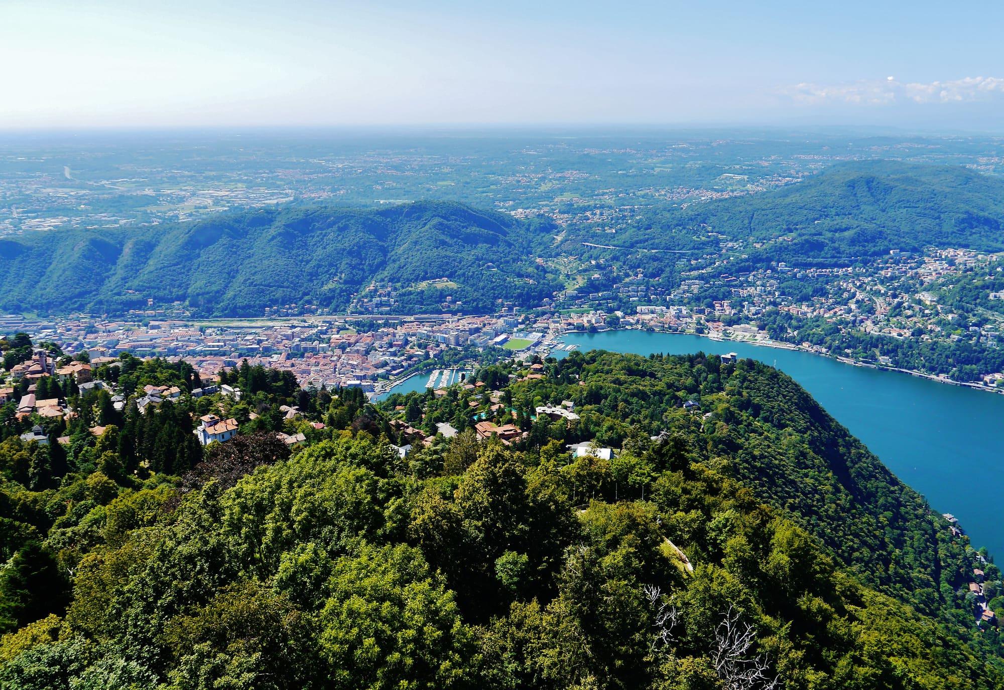
Como · Cernobbio · Brunate
Como and the First Basin
Como, the funicular to Brunate and the villas along the shore as far as Argegno.
From Milan 40 min
Lake Como is shaped like a Y, forty-six kilometres long. Six areas, from Como and Lecco at the foot of the two branches to the upper lake.
Como · Cernobbio · Brunate
Como, the funicular to Brunate and the villas along the shore as far as Argegno.
From Milan 40 min
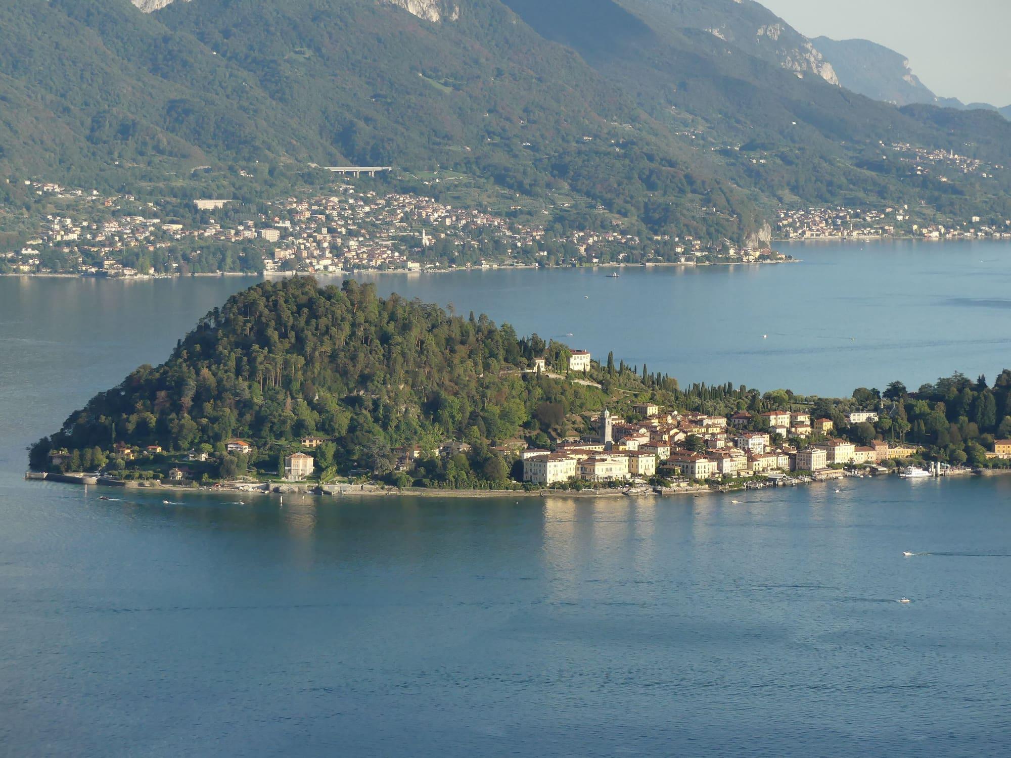
Bellagio · Varenna · Menaggio
Bellagio, Varenna and Menaggio, linked to one another by ferry.
From Milan 1 h 25
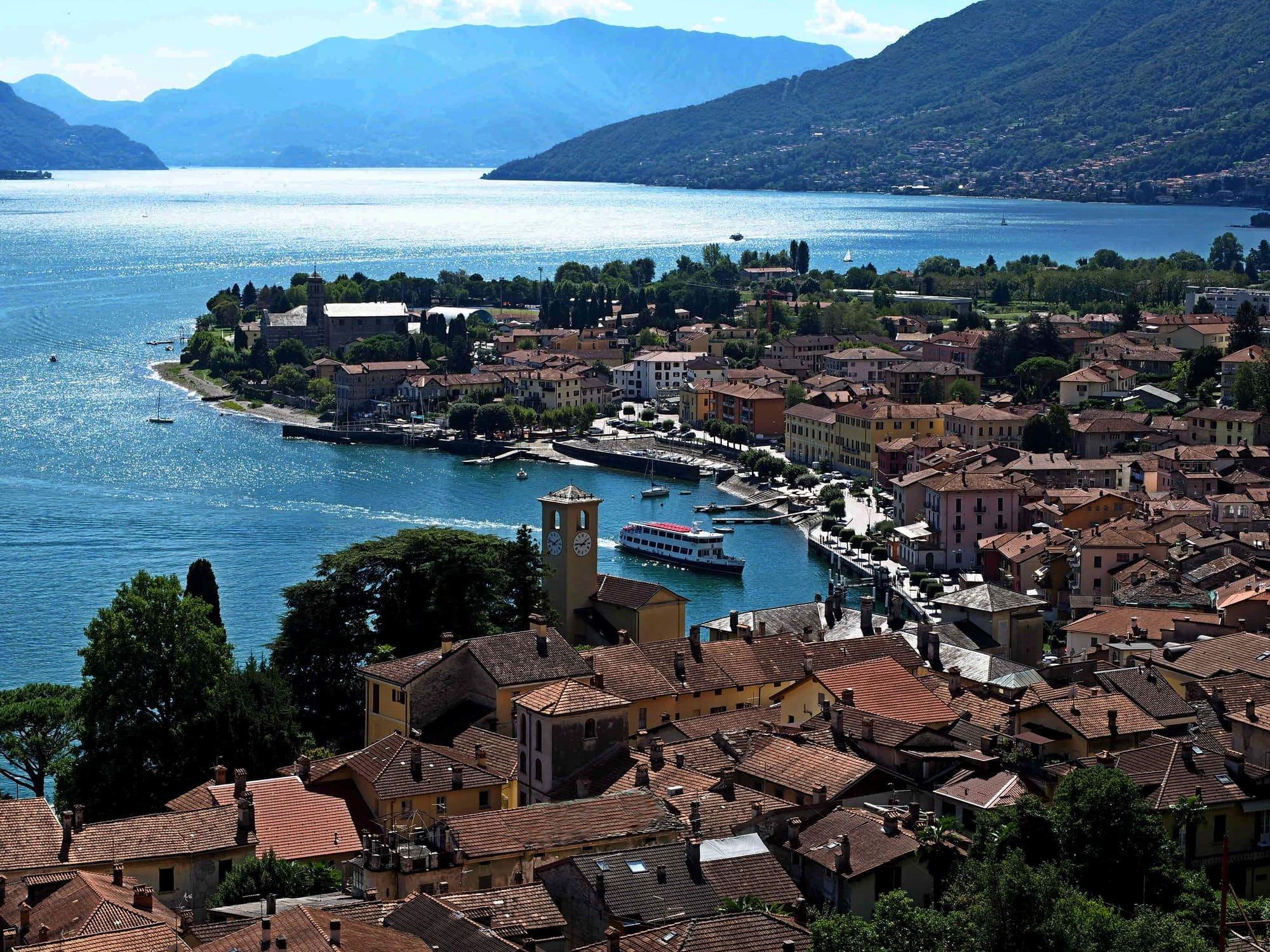
Gravedona ed Uniti · Domaso · Colico
The upper lake, north of Menaggio: beaches, sailing and the nearby Alps.
From Milan 1 h 35
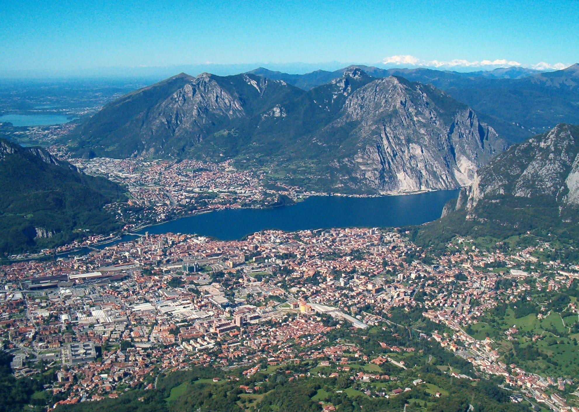
Lecco · Mandello del Lario · Lierna
The eastern branch: the Grigne above the lake and a train that stops in almost every village.
From Milan 45 min
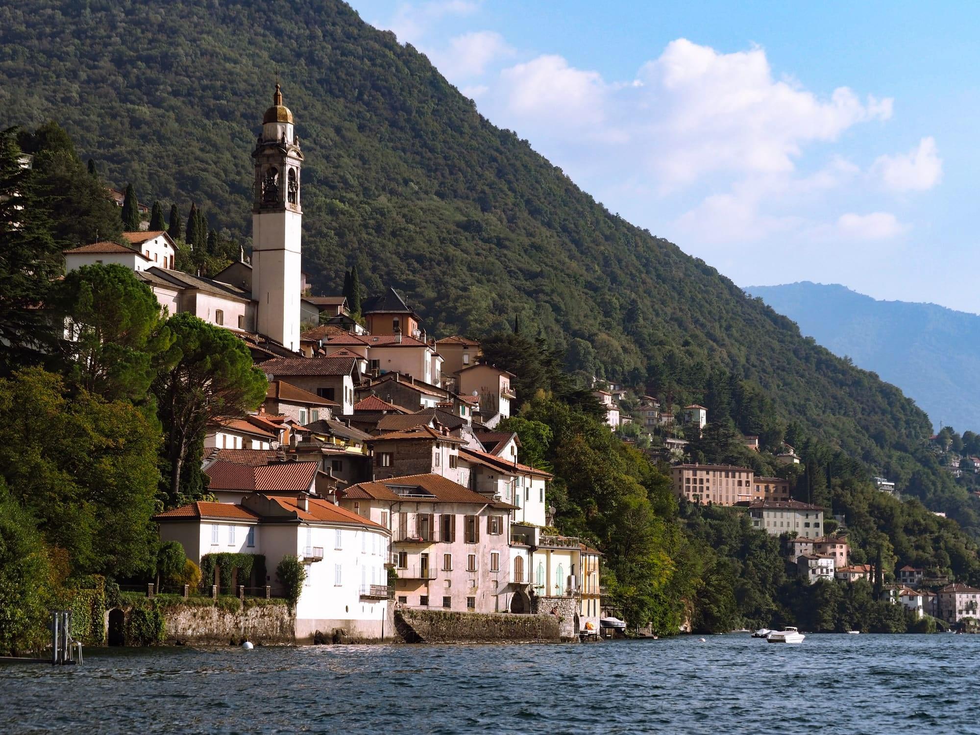
Bellagio · Nesso
The mountains between the lake's two branches: trails, the Ghisallo and the gorges.
From Milan 1 h 15
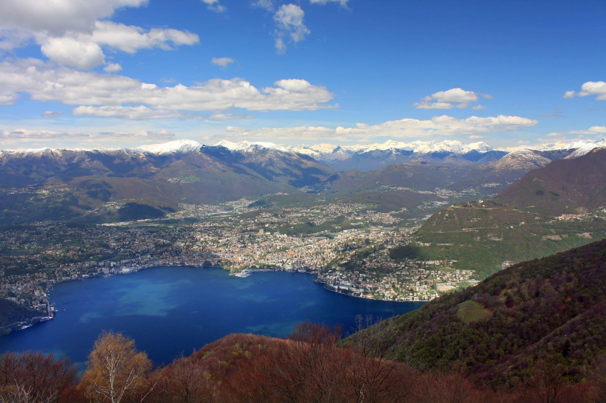
Argegno · Lanzo d'Intelvi
The valley above Argegno, between Lake Como and Lake Lugano, on the Swiss border.
From Milan 1 h 20
46 km
North to south
410 m
Maximum depth
170 km
Of shoreline
54
Comuni on the water
Como and Lecco, at the ends of the lake's two southern branches, are far apart: to get from one branch to the other you cross the lake in the centre or go round the Triangolo Lariano. It is worth bearing in mind before you book.
Choose an area
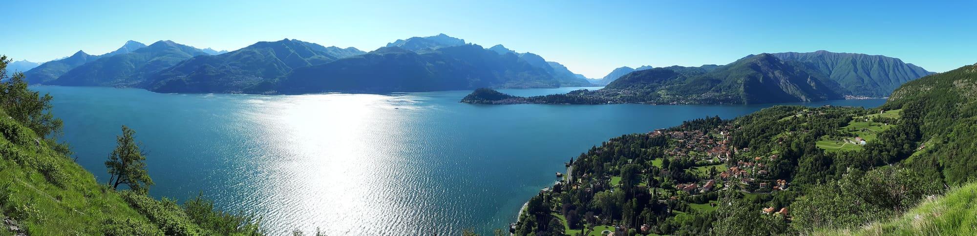
The first basin is the southern part of the Como branch, from the city up to Argegno. Como, a city of about eighty thousand people, lies at the end of the lake between two ridges that drop steeply to the water; along the shores villas follow one another, many of them from the nineteenth century. From Milan the train takes about forty minutes.
Journey times
The centre of the lake is where it divides into the Como and Lecco branches. On all three shores there are villas with gardens running down to the water, and the ferries link one village to the next in about fifteen minutes. So you can stay a few nights without a car and see all three shores by boat.
Journey times
Places in this area
North of Menaggio the lake widens and the mountains draw back from the shore. In fair weather the Breva blows up the lake from the south in the afternoon, which is why Domaso and Gera Lario are centres for windsurfing and kitesurfing. There are also several Romanesque churches here, and campsites on the lakeshore.
Journey times
Places in this area
On the eastern branch the mountains drop steeply to the lake: these are the limestone walls of the Grigne and the Resegone. The Sentiero del Viandante runs along the hillside along the eastern shore, from Lecco to Sorico, and the railway stops in almost every village. Manzoni set The Betrothed here, in Lecco and the villages around it.
Journey times
Places in this area
The Triangolo Lariano is the mountain country between the Como and Lecco branches, with Bellagio at its tip: a wooded upland rising to the 1,682 metres of Monte San Primo. It draws cyclists, whose chapel is the Madonna del Ghisallo, and walkers who want the mountains while staying half an hour from the lake.
Journey times
From Argegno a cable car climbs in six minutes to Pigra, about six hundred and fifty metres higher. Behind it opens the Val d'Intelvi, the valley linking Lake Como to Lake Lugano, from which for three centuries stuccoists and architects left to work all over Europe.
Journey times
Places in this area