


28Mar 2027
Upper Lake
Domaso
- Ideal for
- Windsurfing, kitesurfing, sailing, families
- Time needed
- 3–5 nights to make use of the wind
- Best season
- May–September; the Breva is most reliable in summer
- What to see
- The lake in the early afternoon, when the Breva blows
- Best reached by
- C110 bus; nearest station is Colico, then bus or taxi
- Maurizio Moro5153 · CC BY-SA 4.0
- Ottantafame · CC BY-SA 4.0
The place
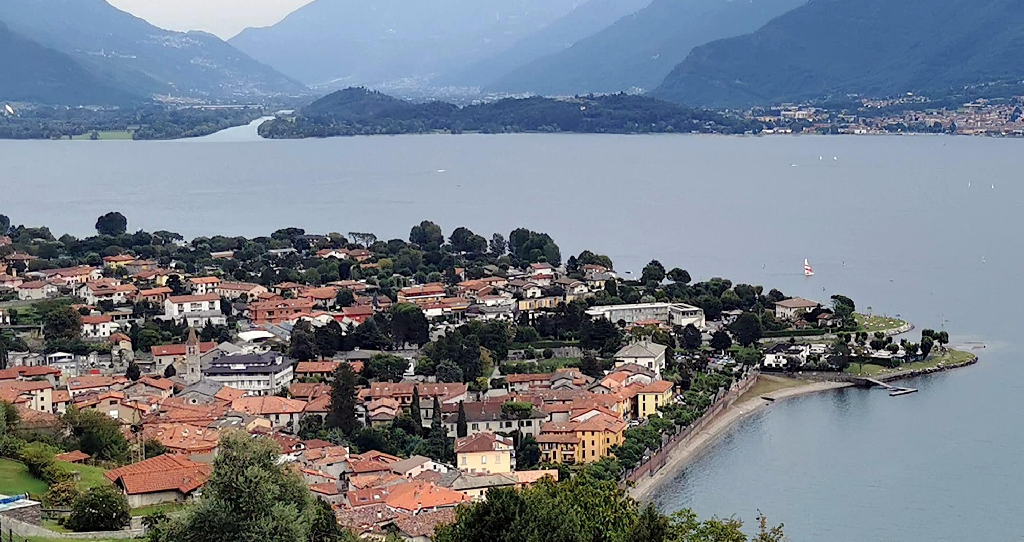
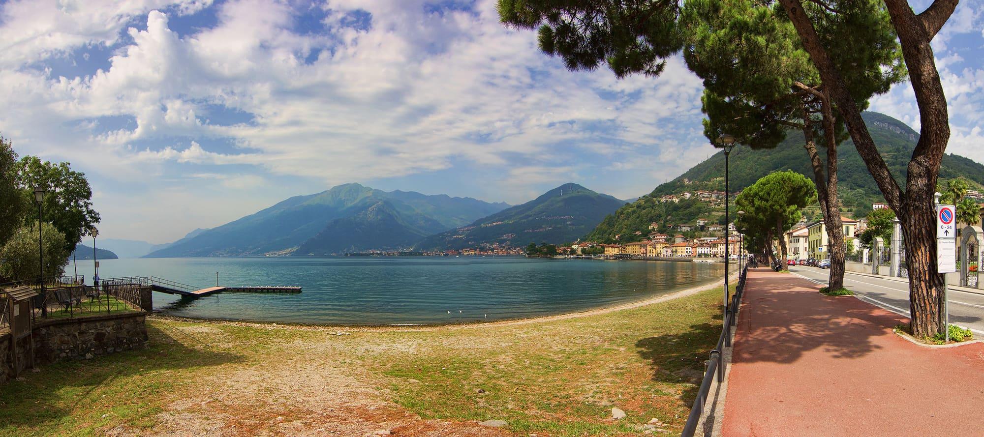
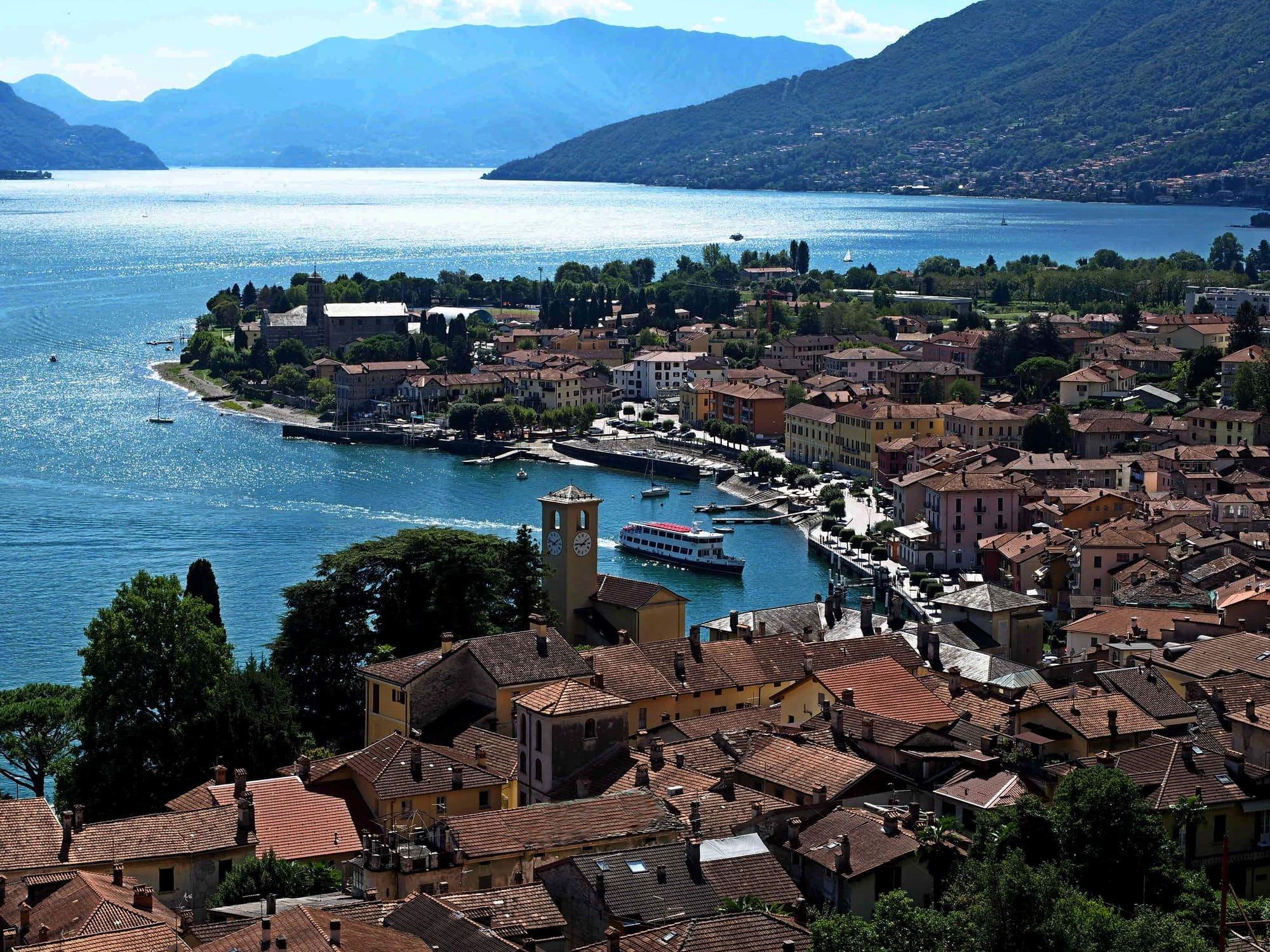
Domaso is a village on the western shore of the upper lake, with a historic centre of cobbled lanes and a long beach.
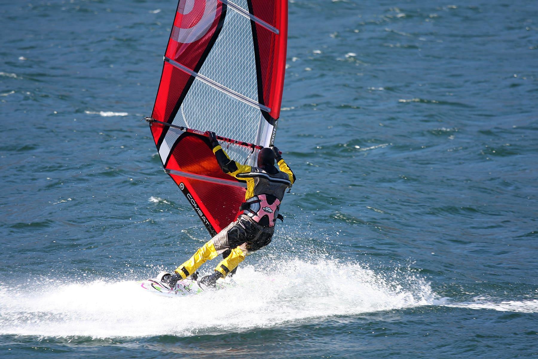
Sailing, windsurfing and kitesurfing take place along the shore. The Breva blows up the lake from the south and is regular in anticyclonic conditions. The slopes of Sasso Pelo rise behind the village.
Domaso is a village on the western shore of the upper lake, with a historic centre of cobbled lanes and a long beach.
Read on
Sailing, windsurfing and kitesurfing take place along the shore. The Breva blows up the lake from the south and is regular in anticyclonic conditions. The slopes of Sasso Pelo rise behind the village.
The village and the beach
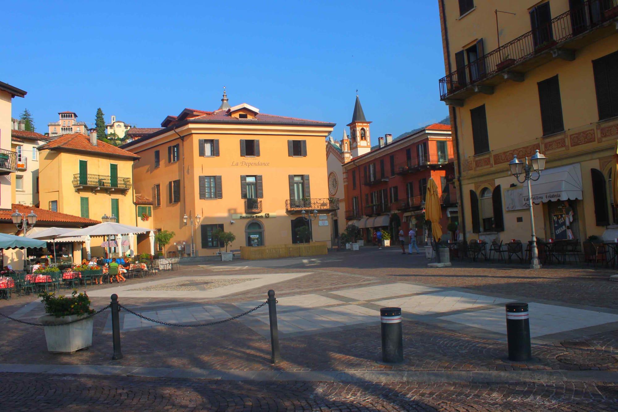
Domaso lies on the western shore of the upper lake, between the mouth of the Livo stream and the slopes of the Sasso Pelo. It is a long, narrow village between the Statale Regina and the water. The old centre has arcaded houses on the lake and the 'strecc', steep cobbled lanes that climb towards the mountain. Devotional frescoes and Renaissance family coats of arms survive on the facades.
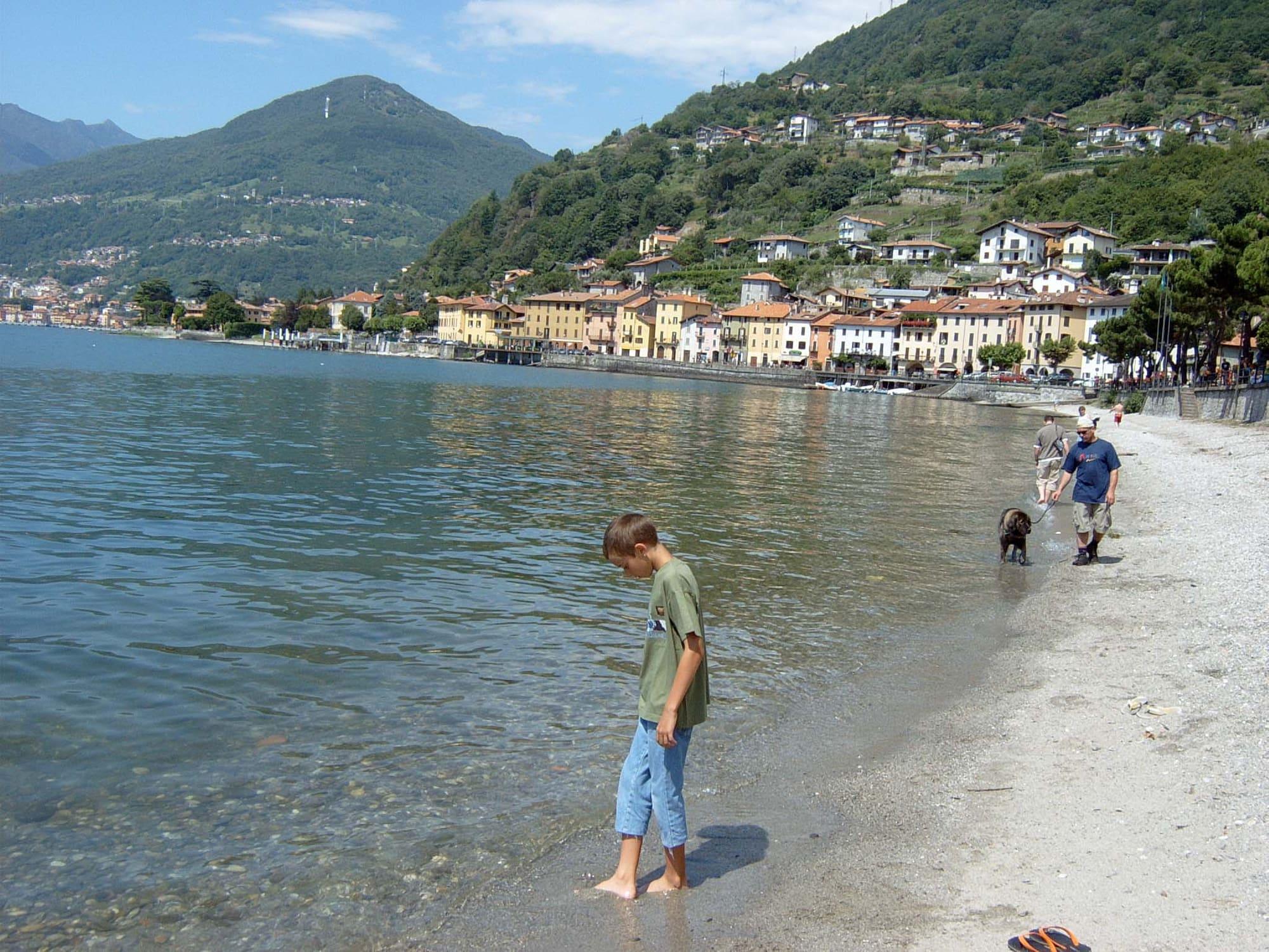
North of the centre stretches a wide beach, partly free to use, with campsites on the shore and sailing, windsurfing and kitesurfing schools. In summer the upper lake also hosts international regattas. Above the village, in the hamlets of Gaggio and Pozzolo, vines grow on terraces. Domaso has no station: the nearest is Colico, and you arrive by bus, by boat or by car.
Breva and Tivano
The Breva is a breeze that blows up the lake from the south, mainly in the afternoon. In anticyclonic conditions it blows regularly and can exceed 15–20 knots on the upper lake, with substantial waves. The Tivano is a morning breeze from the north, generally weaker.
Wind and lake conditions change with the weather. The Ventone comes down from the Valchiavenna and can reach high speeds; thunderstorms can bring sudden gusts. Before swimming or going out with a board or boat, check the forecast and observe conditions on the spot.
History
Domaso began as a fishing village on the Via Regina, the road of Roman origin that led from Como to Chiavenna and the Alpine passes. The statutes of Como of 1335 made the village responsible for maintaining a stretch of the road, within the pieve of Gravedona. The church of San Bartolomeo is recorded from 1247, when the community was already seeking independence from the pieve. The village also had a convent of the Umiliati, founded by tradition in 1160. After the order was suppressed in 1571, it passed to the Capuchins.
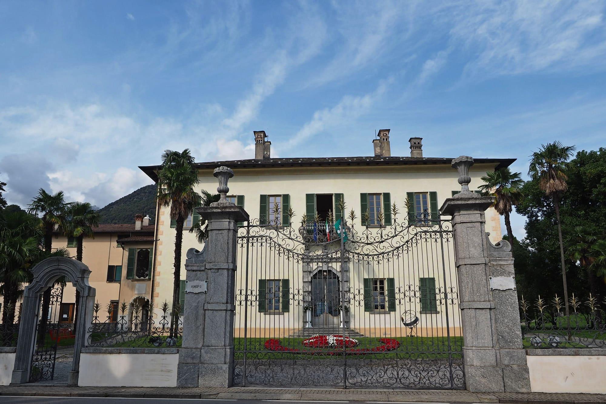
In the seventeenth century Luigi Panizza, governor of the Forte di Fuentes, had a chapel built in San Bartolomeo. In 1826 the Lario, the first steamer on the lake, began daily sailings between Como and Domaso; the same year the Plinio was launched for the line between Lecco and Domaso. In 1955 Villa Camilla became the town hall.
Churches and villas in the centre
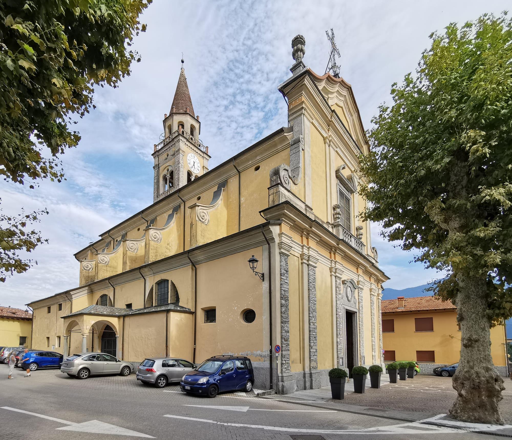
The parish church of San Bartolomeo was renewed from 1551 and took its present form in the eighteenth century, with the new facade and the presbytery vault, completed in 1730. Inside are a chapel frescoed in 1605 by Domenico Caresana, the tomb prepared in 1639 for Luigi Panizza, who died in 1661, stuccoes of 1692 by Agostino Silva and two frescoes of 1758 by Cesare Ligari. The church of Sant'Antonio, built by the Capuchins, was consecrated in 1646.
San Giovanni Battista, the church of the Umiliati convent, has been deconsecrated and turned into a house, but it keeps its bell tower. Villa Camilla, on the lakefront, was built in the first half of the seventeenth century for the noble Ghezzi family. In 1903 Count Giuseppe Sebregondi bought it and named it after his wife, Camilla Barbiano di Belgioioso. Its park, of about eight thousand square metres, has tufa grottoes, camellias, cedars and sequoias.
The villages above Domaso
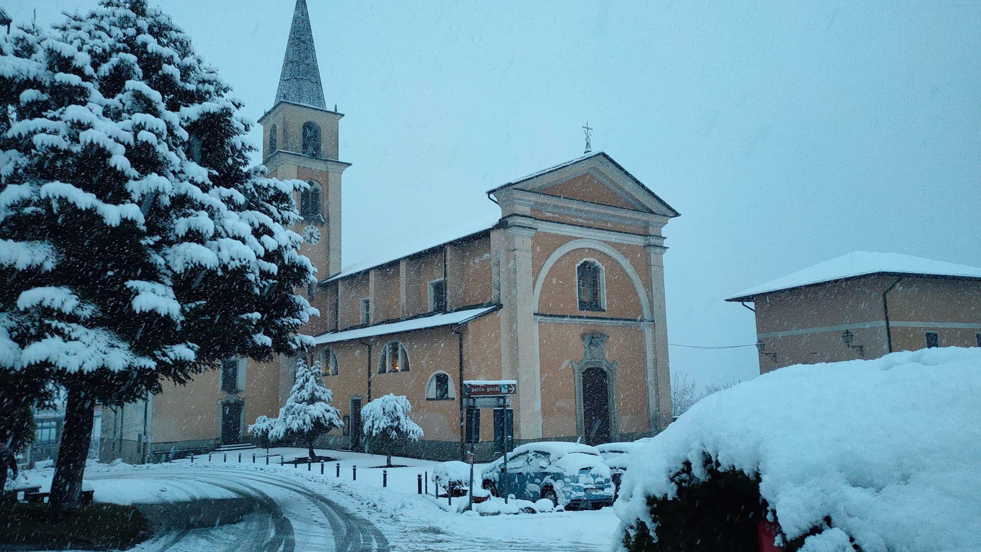
Above Domaso lie the villages of Vercana, on the slope, and Livo, in the valley behind. For more than two centuries many of their people emigrated to Sicily, and the churches keep their gifts. At Caino, a hamlet of Vercana, the church of San Sebastiano has a Baroque statue of Santa Rosalia, the patron saint of Palermo, in gilded wood. At Vercana the parish church of San Salvatore has frescoes by Antonio Maria Caraccioli, who was born in the village and emigrated to Palermo in 1770.
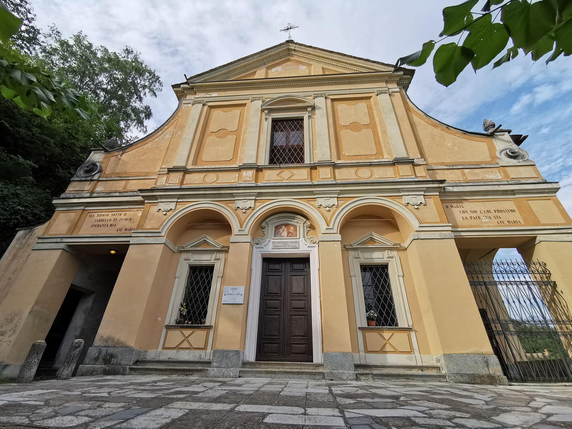
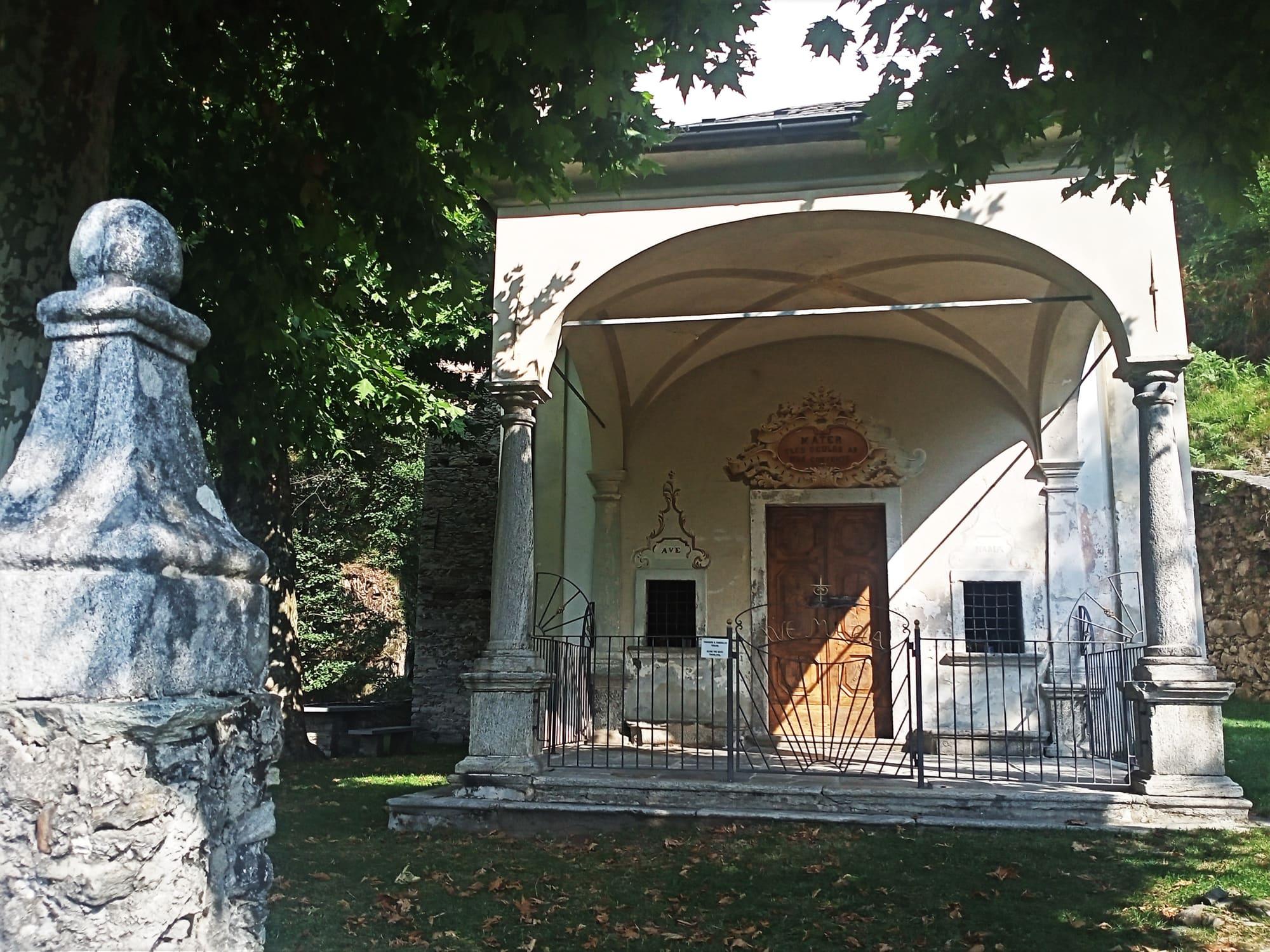
Also in Vercana is the sanctuary of the Madonna della Neve, founded in 1630 by the survivors of the plague and opened in 1634. At the Baroque sanctuary of the Madonna di Mezza Cresta, in Livo, the feast of Saint Anne is held every 26 July. Domaso celebrates its patron saint, Bartholomew, on 24 August.
Things to see
Experiences
Upper Lake
Wind and board on the upper lake
Windsurfing, kitesurfing and sailing on the upper lake, where the Breva can strengthen in settled weather.
3 h – 5 hCar needed
Lecco Branch
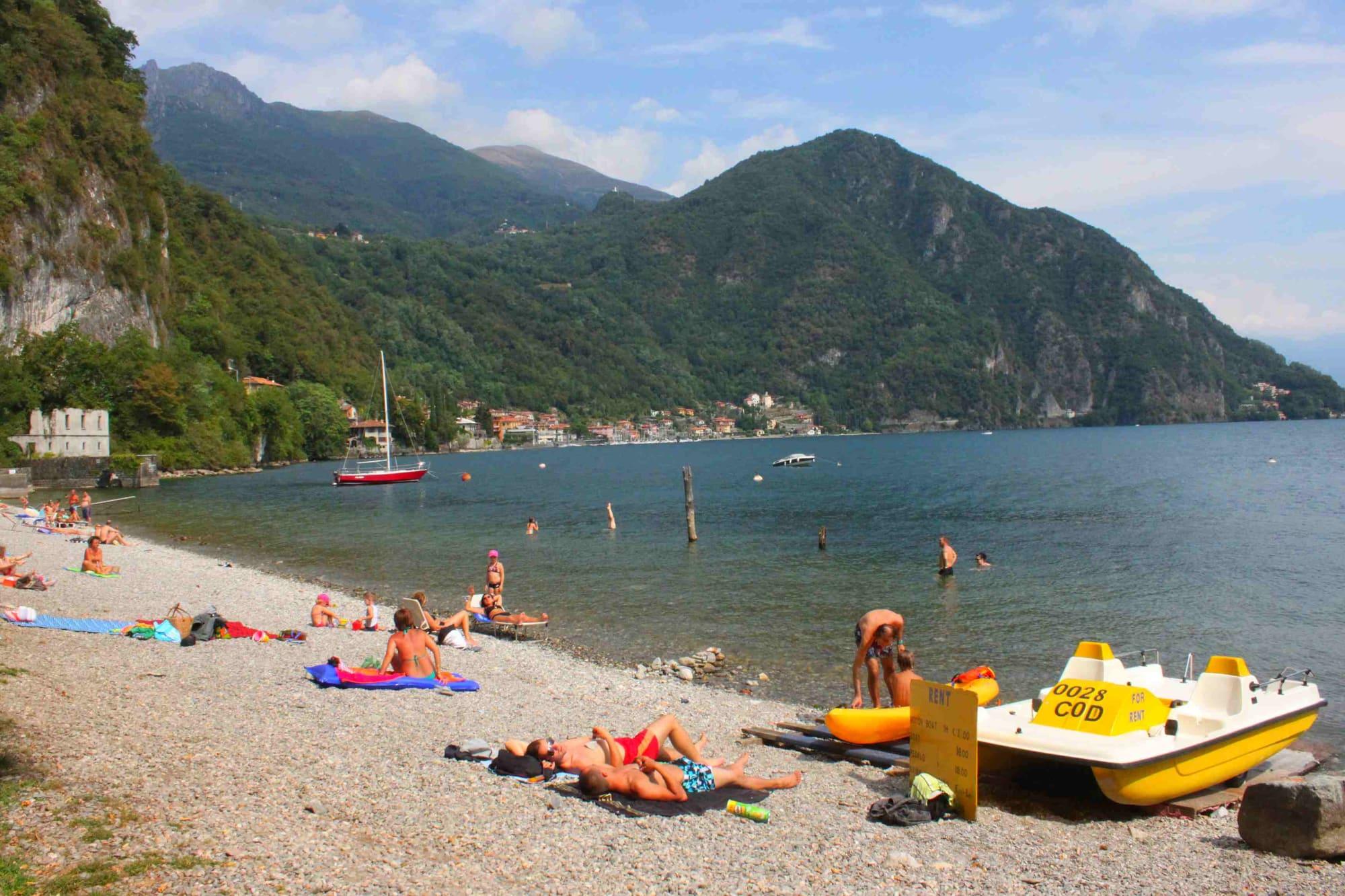
Swimming in the lake
The monitored bathing spots, the class of their water and where you can get into the water from the shore.
3 h – 8 hOpen access
Upper Lake
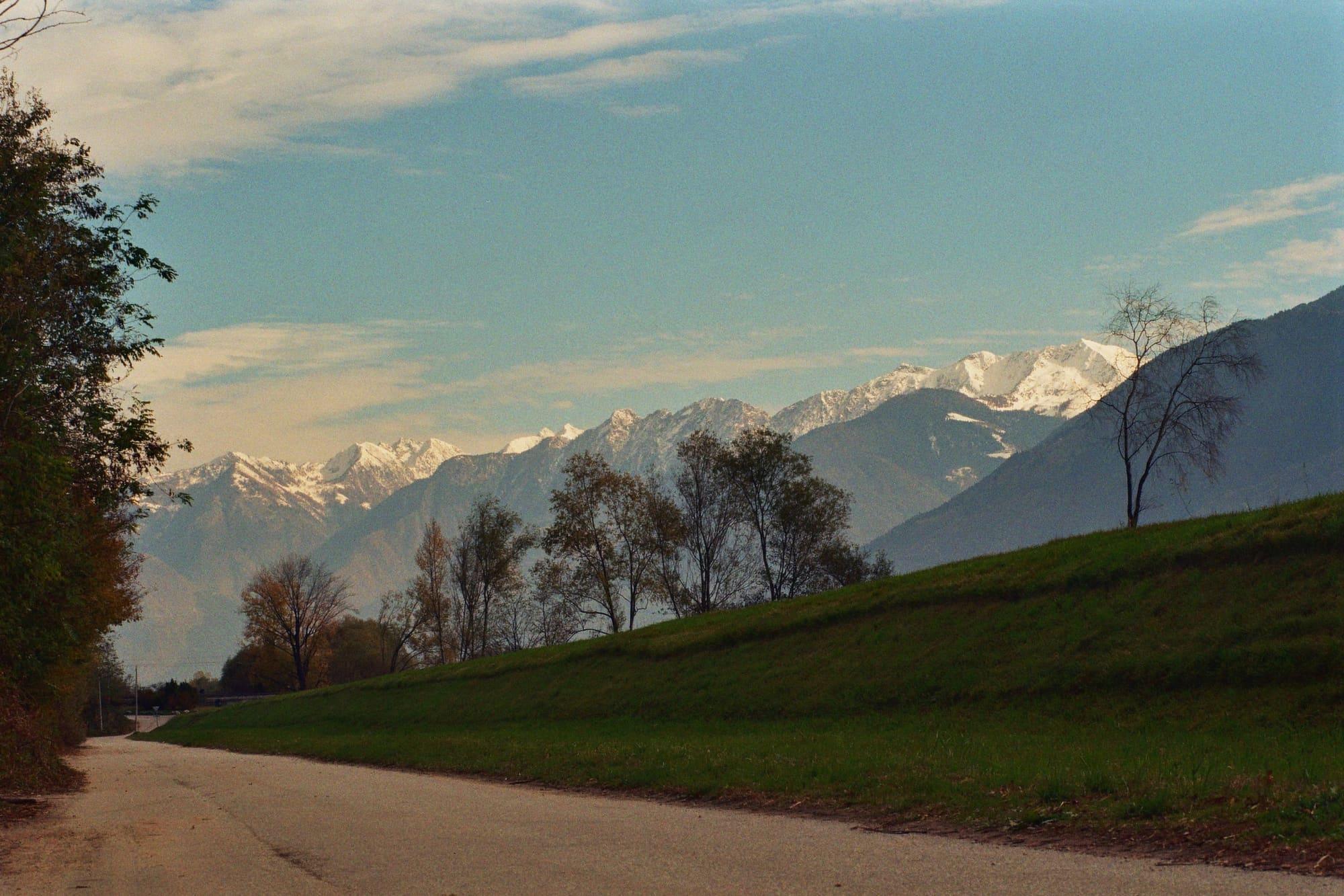
By bike on the upper lake
Almost level cycle and foot paths between the Pian di Spagna, Lake Mezzola and the Valtellina, with the train to bring you back.
3 h – 7 h27.5 km · +71 m
Centro Lago
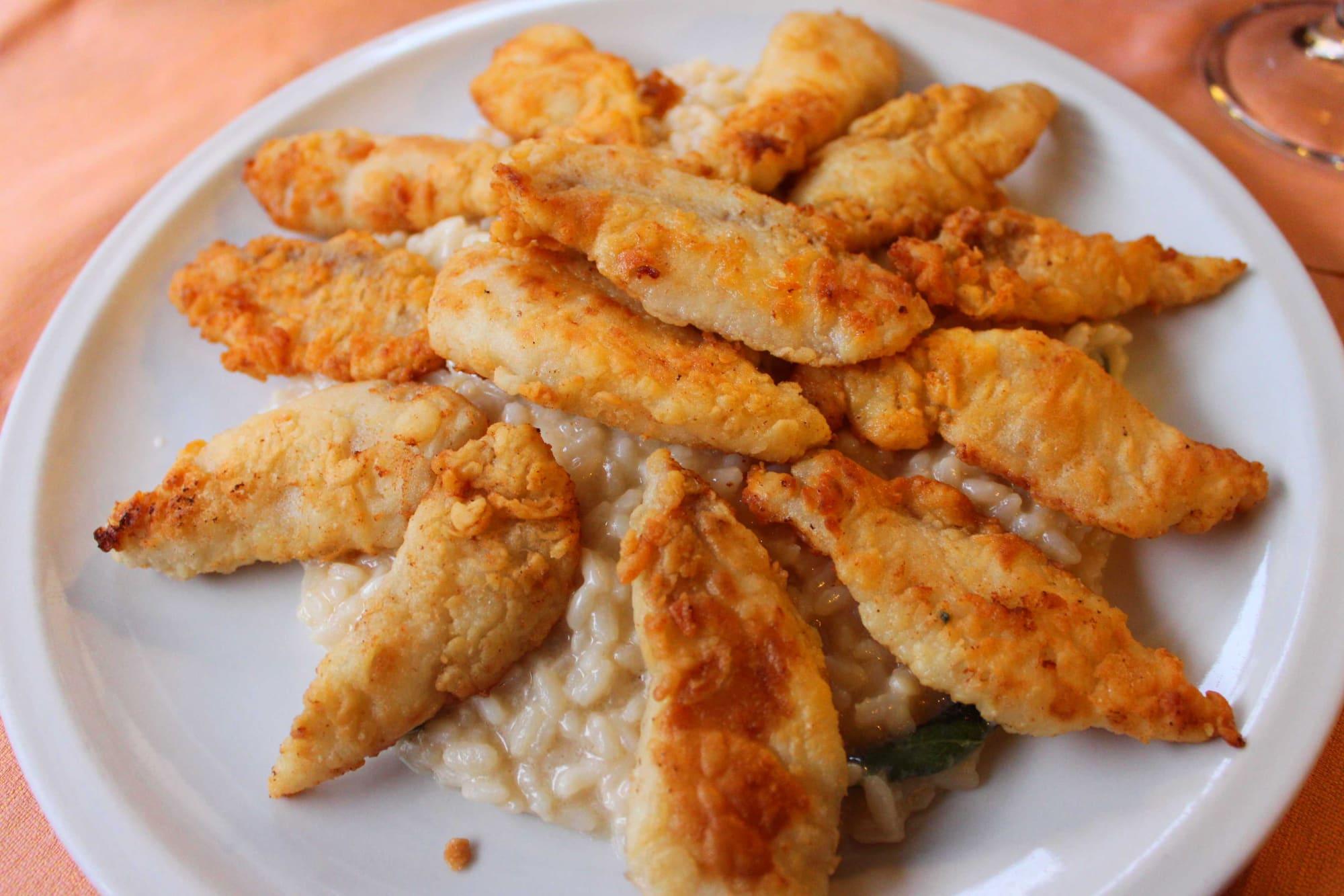
Eating the lake's fish
Missoltini with polenta, whitefish and perch: how the lake cooks its fish.
1 h 30 – 2 h 30
Events
Before you go
How long it takes
- from Milan1 h 45Train, then boat
- from Como1 h 30Bus · by car 1 h 30
- from Lecco1 h 20Train, then bus · by car 1 h 05
Typical door-to-door times by public transport, changes included. From Milan, counted from Centrale station.
Tourist office
Infopoint Domaso
Via Garibaldi, 22013 Domaso
Closed; reopens at Easter 2027
Updated: 20 Oct 2026 · North Lake Como — Associazione Turismo e Commercio Alto Lago.
Parking and services
- Piazza Oreste Ghislanzonisurface · free
- Parcheggio Sigmasurface
- Car park6 spaces · free
- Car park5 spaces · free
3 public toilets16 drinking fountains2 pharmacies3 cash machines1 charging point1 defibrillator
Car parks and services on the map
Within two and a half kilometres of the centre; check car park spaces and fees on arrival.
Why go to Domaso?
For the wind and the water: a long beach, windsurf and kite schools, campsites on the water, and the lakeside walk towards Sorico and towards Gravedona. And in the village, Villa Camilla, the town hall with its eight-thousand-square-metre park, the parish church of San Bartolomeo, and on Piazza Trento Sant'Antonio di Padova, the friars' church consecrated in 1646.
When does the Breva blow at Domaso?
It is a southerly breeze, mainly in the afternoon, which blows regularly in anticyclonic conditions. Whether it develops and how strongly it blows depend on the weather. The Tivano is a morning breeze from the north, so morning does not guarantee calm water.
Webcams
- Domaso, from the boatyardUpdated image · Nautica Domaso
- Gravedona, from the Piumona hillsideUpdated image · Casarina, residenza vacanze
- Area
- The Upper Lake
- Population
- 1,500
- Elevation
- 201 m
Updated 26 October 2026
The mountains around the village hide the sun before astronomical sunset: sunrise and sunset are worked out on the village's own horizon.
Today, 1 November, estimated sunlight at the reference point: first at 08:20 and last at 16:01, giving 7 h 42 of direct sun, out of 10 h 06 of daylight.
Today the sun arrives between 08:03 and 08:21, depending on the street.
JuneDecembertoday
Watch the shadow reach Domaso today
See from Domaso where the sun goes, in 3D
The sun at an exact spot in Domaso: your hotel, a beach, a street
A table in the sun in Domaso
Places near the shore with outdoor seating, with today's estimated first and last sun at the marked point. Those with the latest sun come first. Clouds and shade from buildings, trees or awnings can change the light on the tables; check opening hours with the venue.
- Lakefrontcafé08:12–16:00
The highest summit in view from here is Adamello, 3539 m, 90 kilometres away.
- Monte Berlinghera, 1930 m, 8 km
- Pizzo Bresciadega, 2666 m, 18 km
- Sasso Manduino, 2888 m, 17 km
- Cima Centrale del Calvo, 2967 m, 20 km
- Cima del Desénigo, 2845 m, 19 km
- Adamello, 3539 m, 90 km
- Cima della Zocca, 2170 m, 29 km
- Monte Seleron, 2519 m, 31 km
- Monte Culino, 2322 m, 26 km
- Monte Pecoraro, 1751 m, 14 km
- Monte Combana, 2327 m, 15 km
- Monte Colombano, 2008 m, 9 km
- Monte Legnone, 2609 m, 9 km
- Monte Legnoncino, 1711 m, 7 km
- Monte Ponciv, 1452 m, 27 km
- Monte San Primo, 1682 m, 28 km
- Piz del Luser, 1405 m, 27 km
- Monte di Tremezzo, 1699 m, 20 km
- Monte Bregagnino, 1905 m, 11 km
- Monte Bregagno, 2107 m, 10 km
- Monte Marnotto, 2088 m, 11 km
- Monte Tabor, 2080 m, 12 km
- Cima Pianchette, 2167 m, 14 km
- Scima du Zoch, 2102 m, 7 km
The ochre line follows today's sun path and marks the estimated times of its first and last appearance above the mountains. Drag the panorama to see all of it.
How it is drawn
Paler ridges are farther away; heights are stretched two and a half times. Houses are not drawn, nor are trees within half a kilometre. Terrain © Regione Lombardia (CC BY 4.0); summits © OpenStreetMap contributors.
Official bathing sites nearby, with their water quality classifications.
- Camping Quiete Letizia0.9 kmExcellent · for 11 seasons · in July, sun estimated until 19:33 at the marked point3D — see from the beach at Camping Quiete Letizia where the sun goes
How do I reach Domaso without a car?
The C110 bus from Como or Menaggio along the western shore; a seasonal boat from Menaggio via Gravedona, thirty-five minutes on the fast service and nearly an hour and a half on the ordinary one. The nearest station is Colico, on the other shore, linked by bus or boat.
Is Domaso far from the villas?
Yes: the centre of the lake is a good forty-five minutes away whichever way, and the villas a good hour.
Are there free beaches at Domaso?
Yes, the free beach north of the village, wide and reachable from the promenade; other stretches belong to the campsites and sailing schools. The lake stays deep and cold below the surface, and not every stretch has lifeguards.
Can you walk along the lake?
Yes, in both directions, on nearly level lakeside walks, suitable for families with children too. Northwards the cycle and footpath leads to Sorico: along Domaso's beach, then by the water to the San Vincenzo stream, the harbour of Gera Lario and along the river Mera, between five and ten kilometres, an hour or two. Southwards, just past the landing stage, the lakeside walk reaches Gravedona in about half an hour; from there follow the lakefront, past Santa Maria del Tiglio and over the bridge on the Liro, and from the stream's mouth the walk with benches and picnic areas goes on to the Gere beach and Dongo. The C110 bus brings you back.
What is there to see in Domaso's old centre?
The “strecc”, the steep cobbled lanes between coloured houses with frescoes that tell of the village's customs and history. A three-kilometre walk, about fifty minutes without stops, starts from the infopoint on Via Garibaldi. The stops: the park of Villa Camilla with its tufa grottoes and camellias, the friars' church of Sant'Antonio on Piazza Trento, San Giovanni Battista, now a private house but with the Comune's thirteenth-century bell tower, Via Venini with the fishermen's fresco, the Madonnas and the Annunciation painted on the houses of Via Regina and Piazza Feloi, the first seat of the Comune, called the square of wood for the trade with Livo, then San Bartolomeo, Via Oliva above the village, the old silk mill on Via Sariolo, and finally Piazza Ghislanzoni with its arcade and the pier.
What is there to see in Sorico, at the top of the lake?
A walk of three kilometres, with 160 metres of climb, starts from Piazza Cesare Battisti. Facing it is Santo Stefano, built in 1443 to replace the parish church of Olonio and remade at the start of the eighteenth century by the Giulini family. Along Via Cesare Battisti and the paved lane that doubles as a cycle path, past the old wash house, you reach the point where the Mera enters the lake, with the Legnone behind and an avenue of beeches that turns orange-red in autumn; beside the San Miro stream stands a ruined little tower from the old lookouts, from the time, between the sixteenth century and the end of the eighteenth century, when Sorico was the border between the Grisons and the Duchy of Milan. The second part climbs: across the main road, up the cobbles of the Antica Regina and a mule track through the woods, you pass a stone tower that is now a private house, the cave where Miro died in 1381, now a wayside shrine, and the little chapel over the spring that legend says the hermit made flow, up to the church of San Miro. That stretch is not suitable for people with reduced mobility.
When is the market?
The market is on the first and third Tuesday of the month, in the morning from 8:00 to 13:00, in the Madonnina area, the car park on Via Garibaldi. In summer, on Thursday evenings, the same car park hosts the evening market.
On the map
What is around, and how far.
© OpenStreetMap contributors · ODbL
Nearby
Typical door-to-door times.
Sources and credits
- Maps, parking, services and distances: © OpenStreetMap contributors (ODbL).
- Freely licensed photographs: authors and licences under Photograph credits.
Sources and credits
- Maps, parking, services and distances: © OpenStreetMap contributors (ODbL).
- Freely licensed photographs: authors and licences under Photograph credits.