


21Nov
Upper Lake
Colico
A railway junction between Lake Como, the Valtellina and the Valchiavenna.
- Ideal for
- Bike touring, nature, moving by train
- Time needed
- Half a day; a base for the upper lake
- Best season
- April–October
- What to see
- Piona Abbey on the Olgiasca peninsula
- Best reached by
- Train from Milan (1 h 30) and from Lecco (45 min)
- Maurizio Moro5153 · CC BY-SA 4.0
- Maurizio Moro5153 · CC BY-SA 4.0
The place
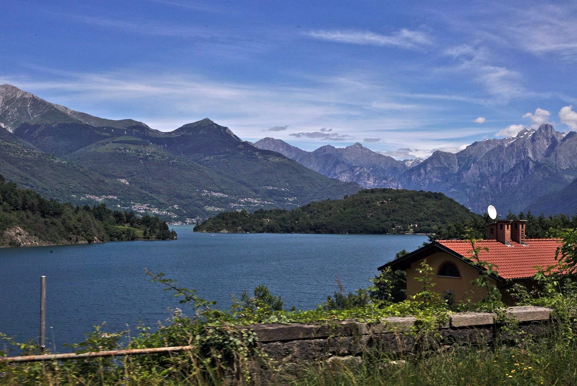
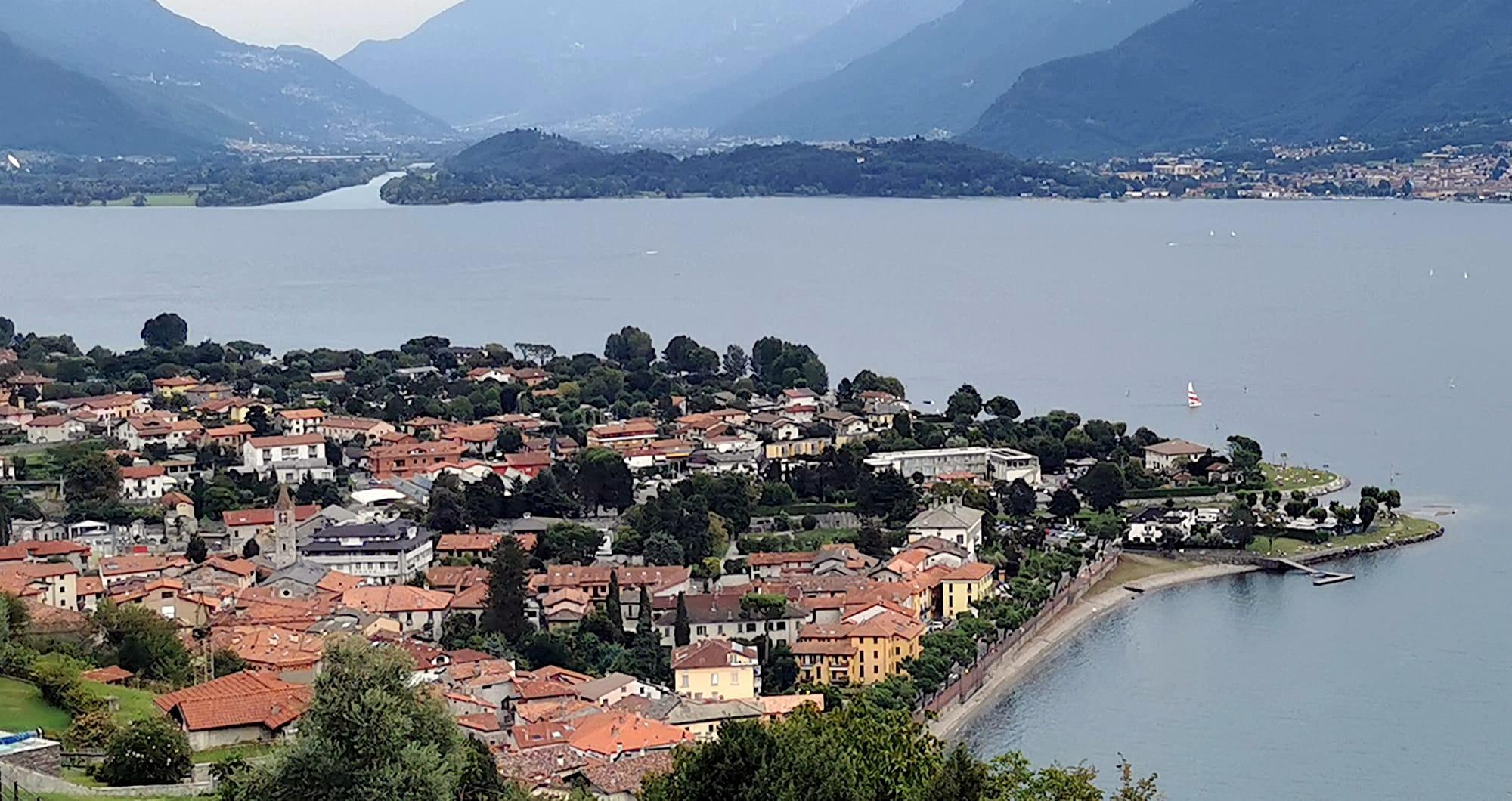
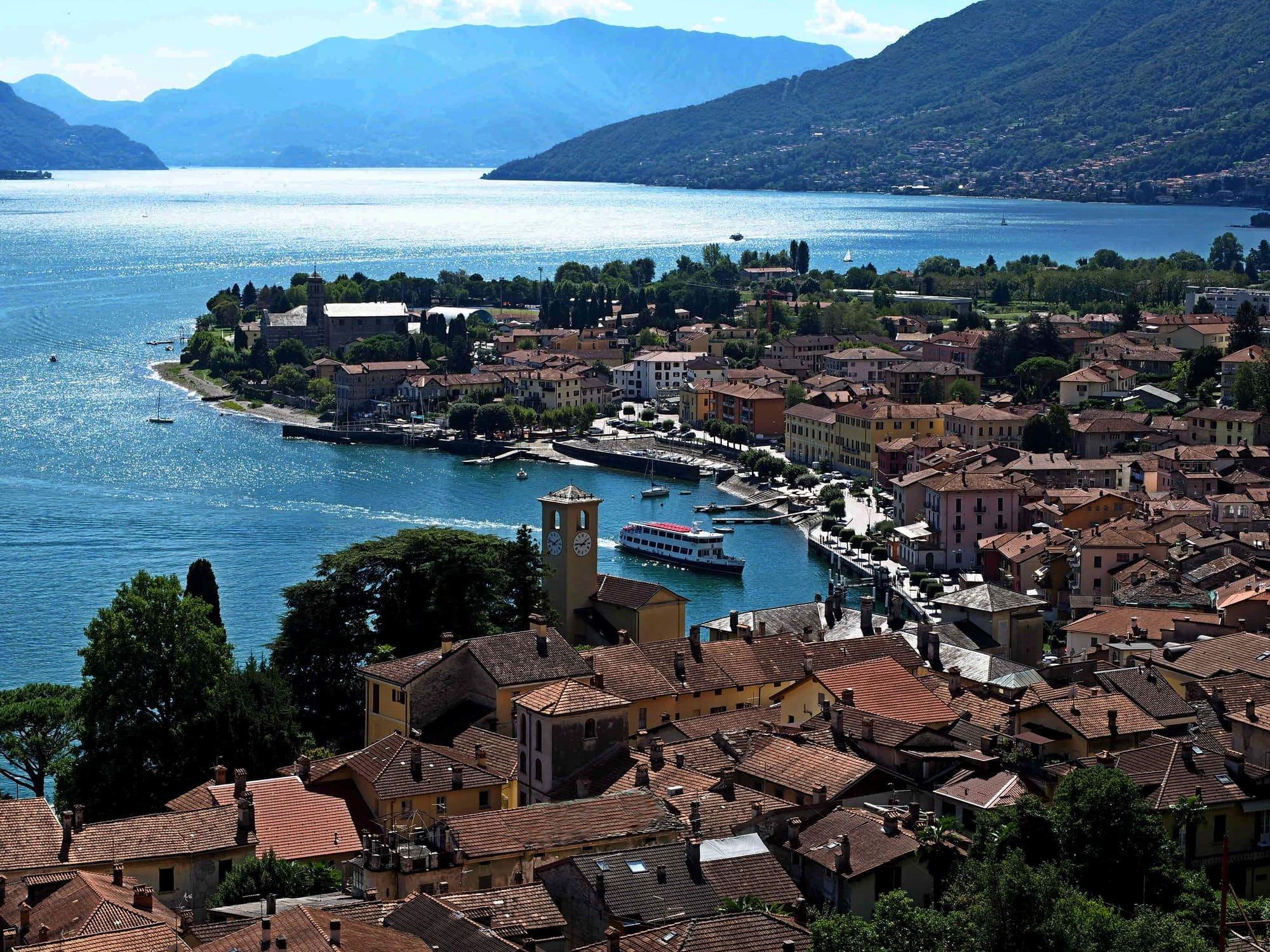
Colico stands at the northern end of the eastern shore. The railway divides here towards Sondrio and Chiavenna, and the town is a terminus for lake boats.
Nearby are the Pian di Spagna reserve and Piona Abbey, on the Olgiasca peninsula. Rail connections and cycle routes make it a base for travelling by train and bike.
Colico stands at the northern end of the eastern shore. The railway divides here towards Sondrio and Chiavenna, and the town is a terminus for lake boats.
Read on
Nearby are the Pian di Spagna reserve and Piona Abbey, on the Olgiasca peninsula. Rail connections and cycle routes make it a base for travelling by train and bike.
The town at the head of the lake
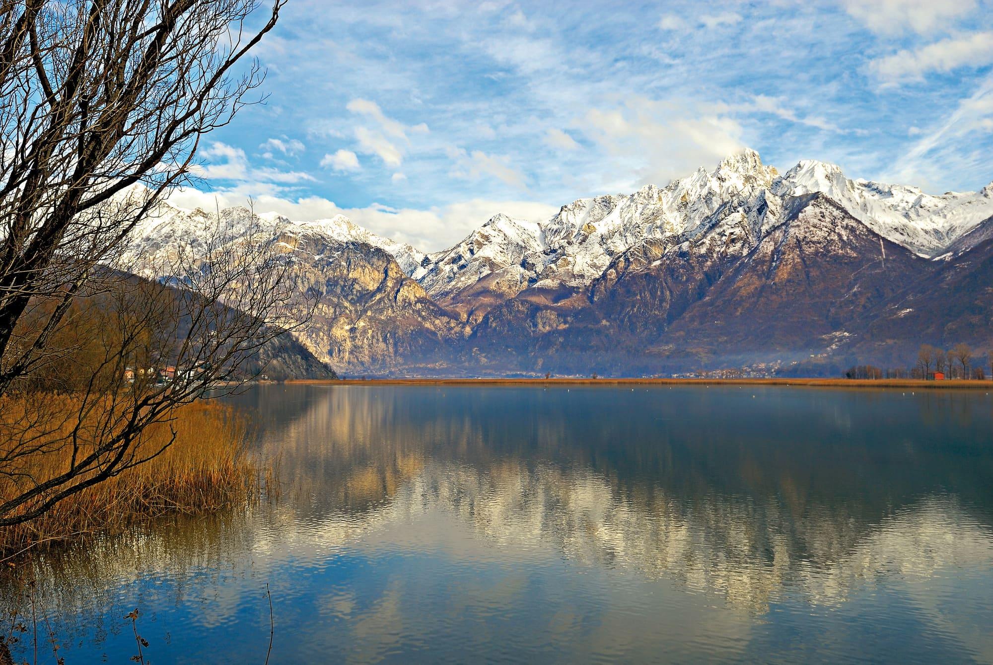
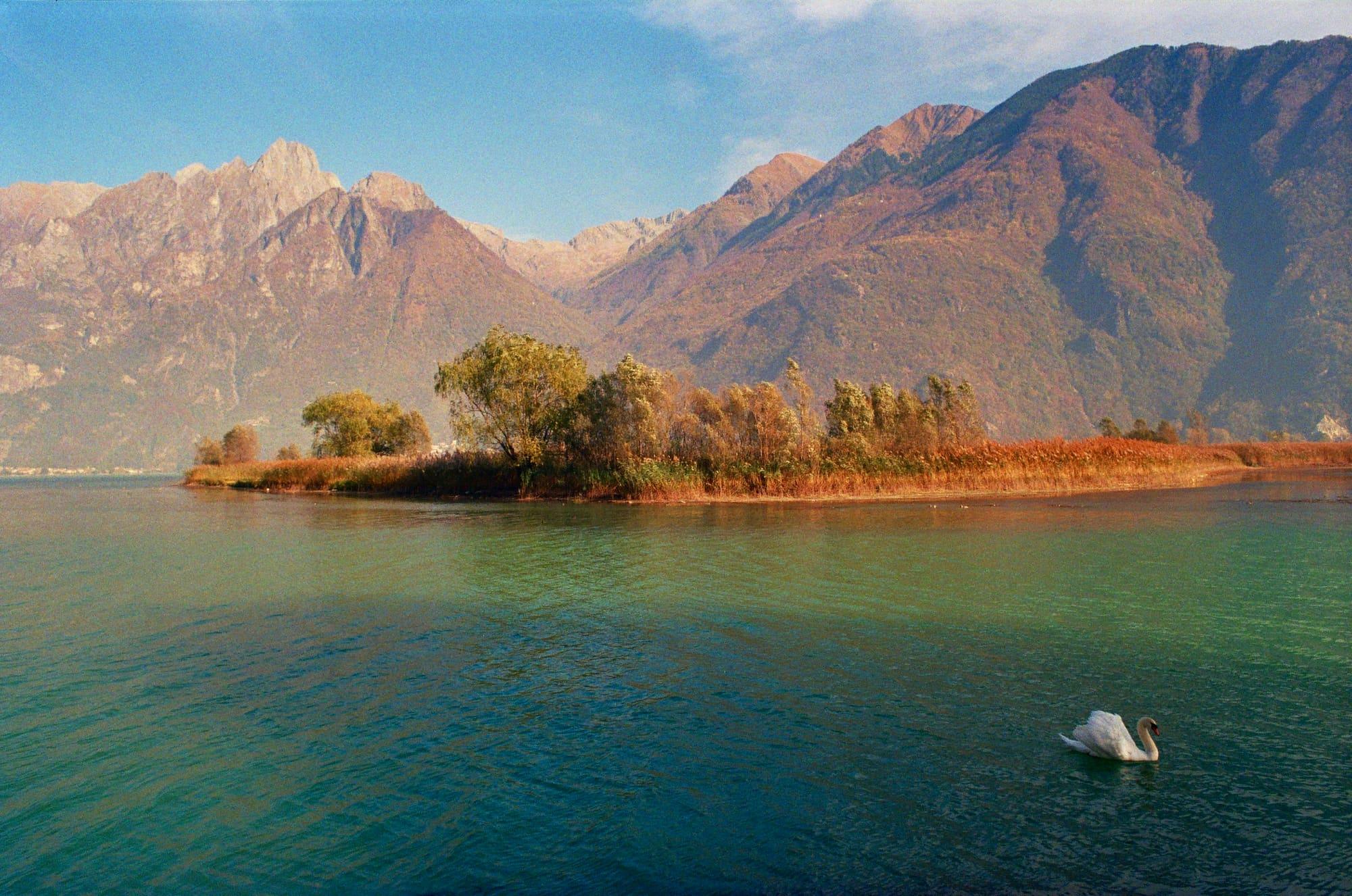
Colico is the northernmost town on the eastern shore, close to the point where the Adda flows into the lake. It is built on flat ground, because over thousands of years the river carried down sediment from the Valtellina and built up the Pian di Spagna. That plain is a nature reserve, on the Ramsar list of wetlands of international importance since 1976, and a stopping place for migrating birds.
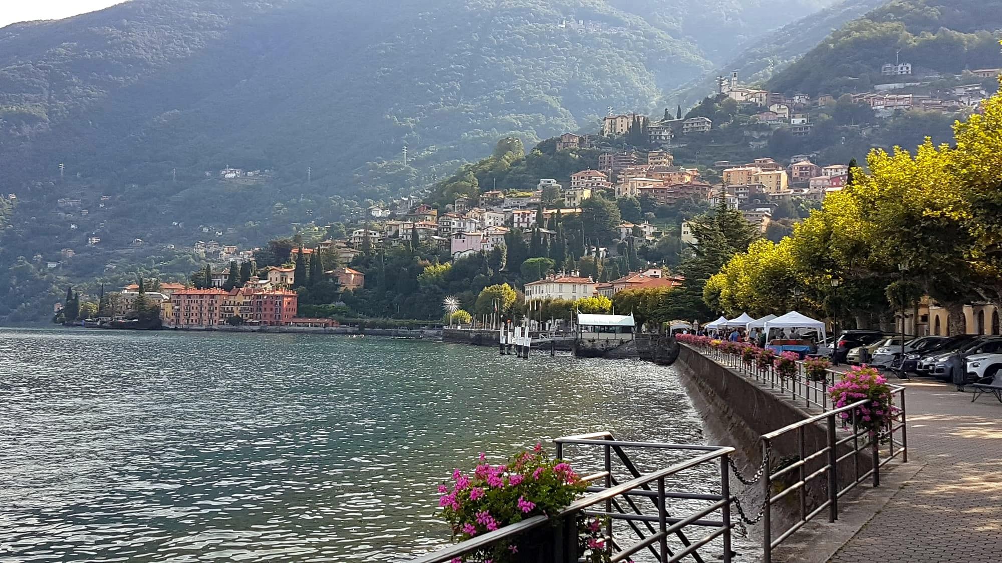
The municipality brings together several settlements. Colico Piano, the centre, has the lakefront, the Art Nouveau landing stage of 1907 and the station. Villatico lies higher up, at the foot of Monte Legnone, which at 2,609 metres is the highest peak in the province of Lecco. Laghetto looks onto the Lago di Piona, enclosed by the Olgiasca peninsula. On the upper lake the Breva blows harder than elsewhere, and windsurfers and kitesurfers go out on the water from Colico's beaches.
History
The name probably comes from the Latin caput lacus, “head of the lake”. In 1357 Bernabò Visconti, lord of Milan, had the heights above the town fortified. In 1603 the Count of Fuentes, the Spanish governor of Milan, built the fort that bears his name on the hill of Montecchio. It was to guard the entrance to the Valtellina and the Valchiavenna, which then belonged to the Grisons. Ever since, the plain below the hill has been called Pian di Spagna, the Plain of Spain.
In 1629 the Landsknechts marching on Mantua entered the Duchy of Milan at Colico, and the plague came with them. In the nineteenth century Colico became a railway junction: the line to Sondrio opened in 1885, the line to Chiavenna in 1886 and the line to Lecco in 1894. In 1902 these became the first railways in the world to run trains on high-voltage three-phase alternating current.
“Colico was the first place in the duchy that those demons overran.” — Alessandro Manzoni, The Betrothed
Forts and towers
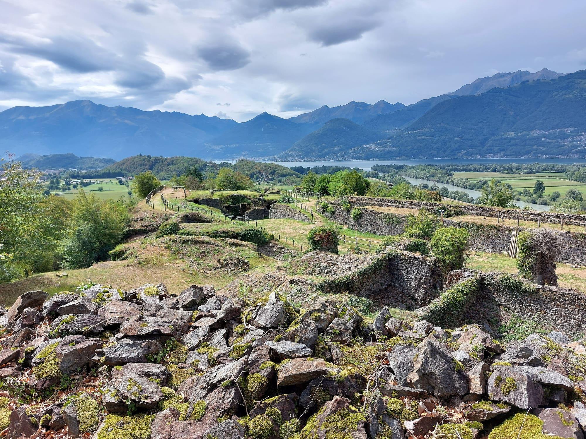
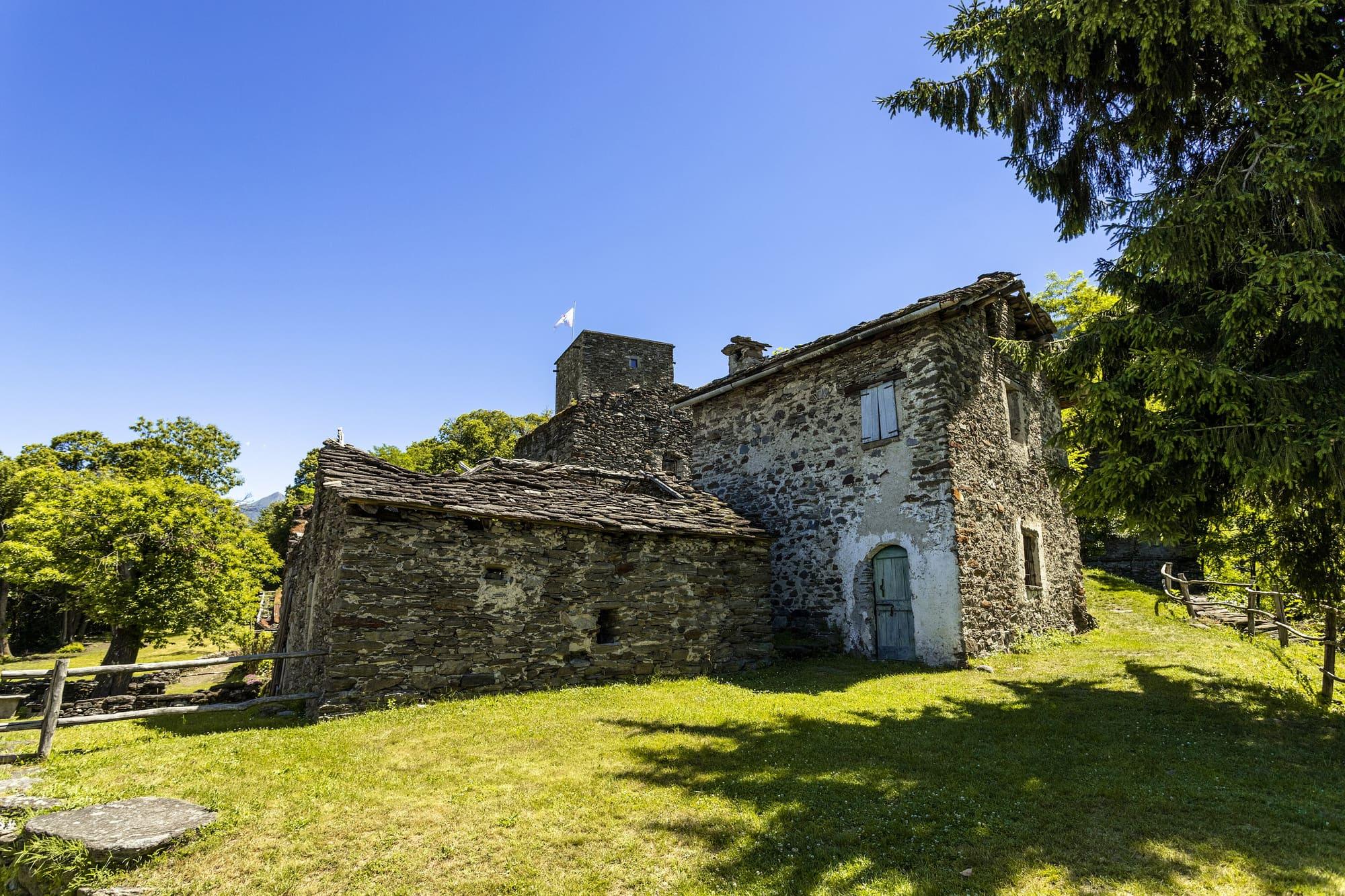
The hills around Colico keep fortifications built between the twelfth and the twentieth century. The two small towers on Montecchio Nord are the remains of a castle that already stood in 1192. The fifteen-metre tower of Fontanedo, at about five hundred metres, was commissioned in the fourteenth century by Bernabò Visconti. The military engineer Gabrio Busca designed the Forte di Fuentes as a star of stone bastions. Its garrison suffered from thirst and from malaria, spread by the marshes below the hill. Napoleon's troops dismantled the fort in 1796, leaving the walls, the chapel of Santa Barbara and the parade ground.
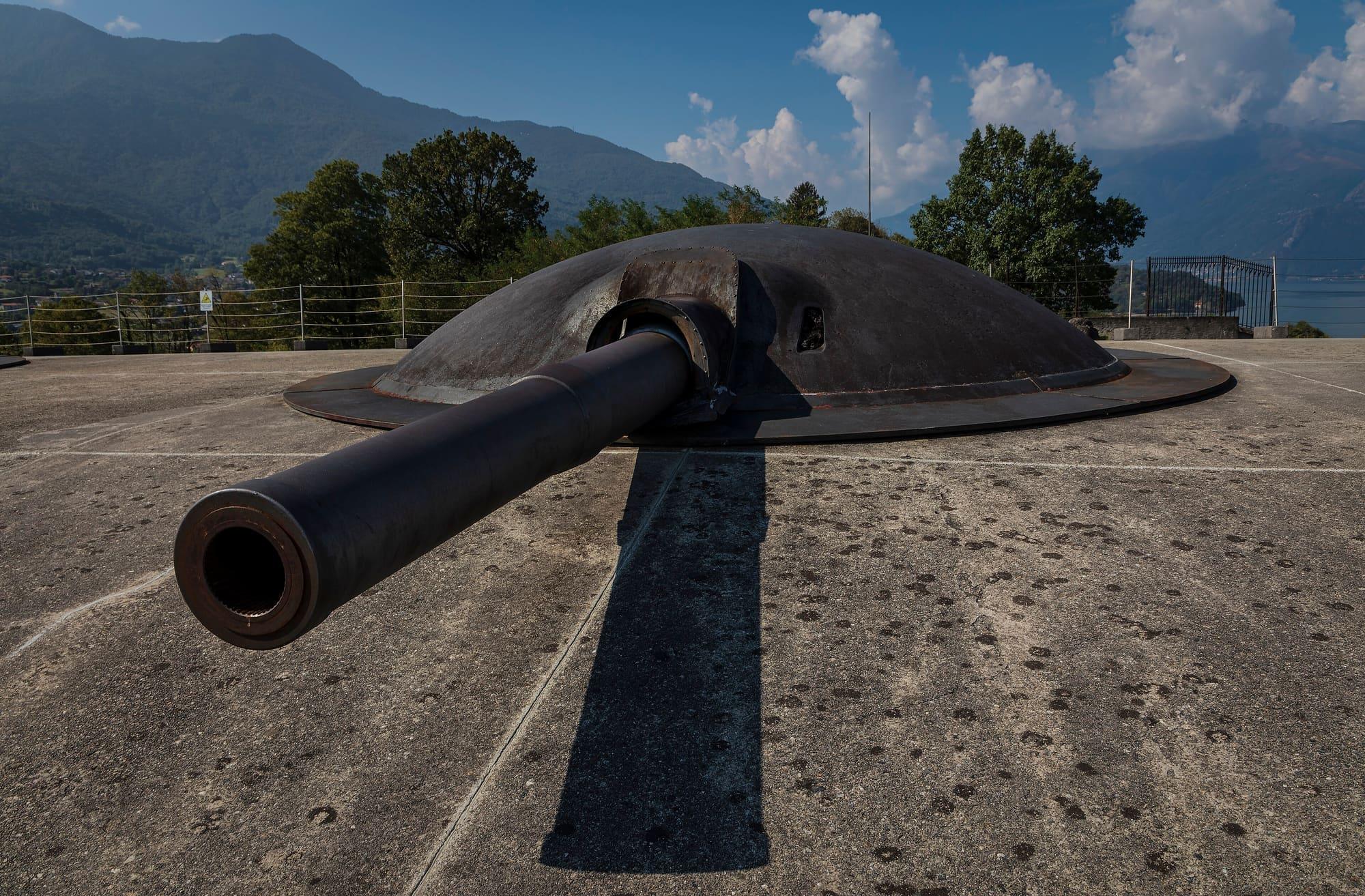
Forte Montecchio Nord was built between 1912 and 1914 for the Frontiera Nord, the defences against a possible attack through Switzerland. It is cut into the rock and never fired a shot in the Great War. That is why it still has its four 149-millimetre Schneider guns, in place and in working order.
Piona Abbey
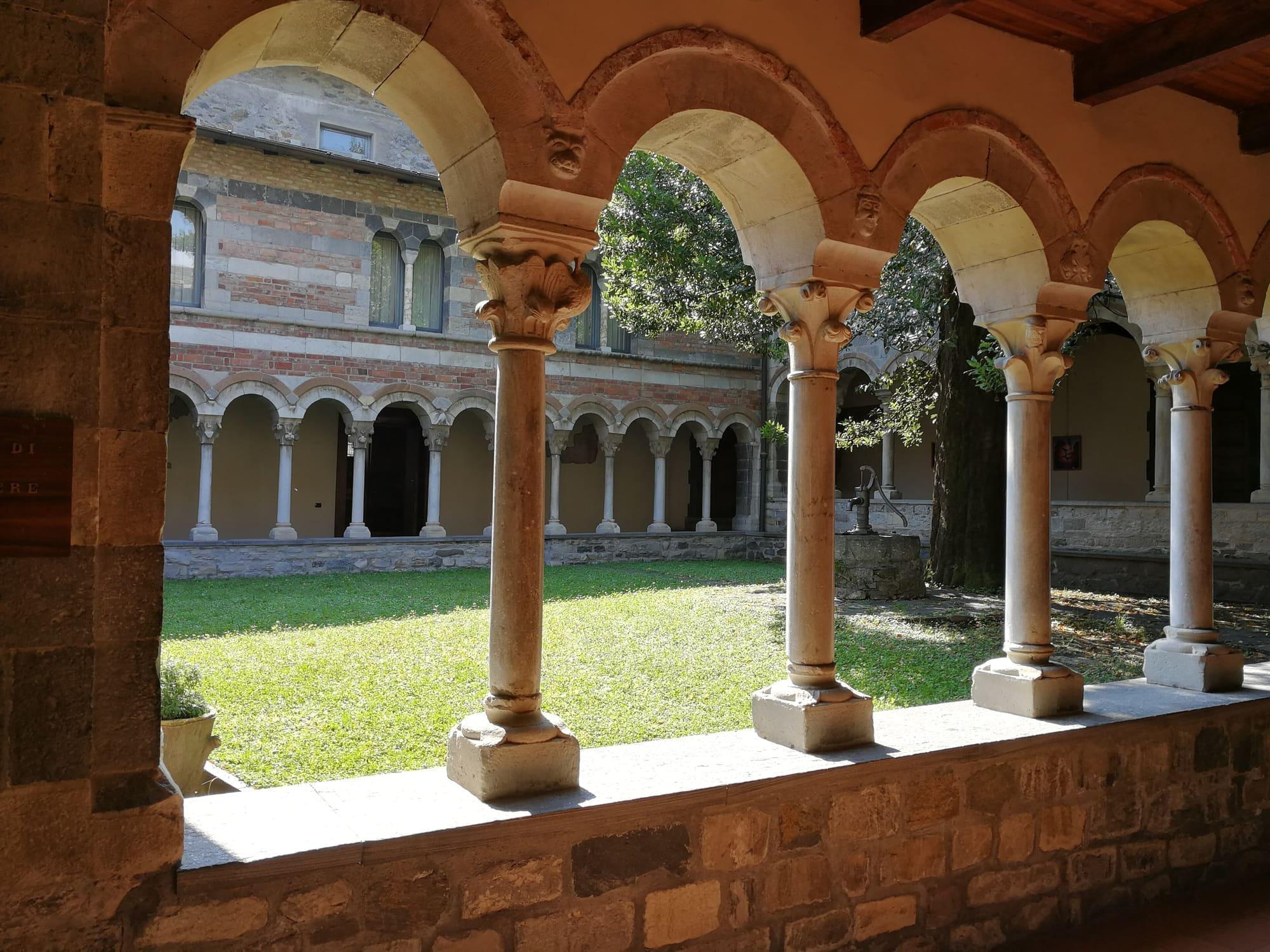
Piona Abbey stands on the Olgiasca peninsula, which encloses a small inner lake, the Lago di Piona. Its origins go back to an oratory founded in the seventh century by Agrippinus, Bishop of Como. A priory linked to the monks of Cluny grew up here later. The church was consecrated in 1138 and later dedicated to San Nicola.
The cloister, whose capitals are all different, was built between 1252 and 1257 at the expense of the prior Bonaccorso de Canova of Gravedona. Under its portico a medieval fresco of the cycle of the months survives. The priory was suppressed in 1798 and passed into private hands. Since 1938 it has been home to Cistercian monks from Casamari. The peninsula around it is a natural area that can be explored on foot.
Villatico, its mills and its feasts
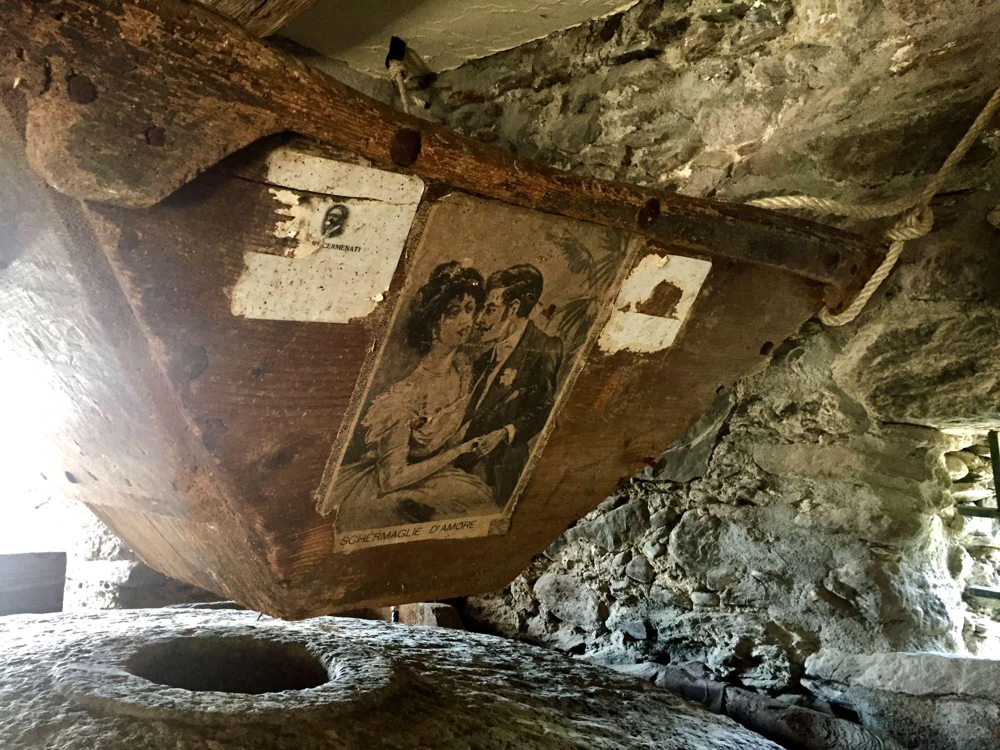
Villatico is the old village at the foot of the Legnone. In past centuries twelve mills worked here, driven by the water of the channel that comes down from Fontanedo. They ground grain, but they also drove saws for logs and presses for walnuts and olives. The cooperative dairy was founded in 1915, and farmers brought their milk there to make cheese.
The church of San Bernardino was rebuilt around 1670 and enlarged in 1896–97, when it gained its side aisles and its present facade. Maria Laura Mainetti, born in Colico two days earlier, was baptised here on 22 August 1939. The nun was killed at Chiavenna in 2000 and beatified in 2021. Higher up, the small Romanesque church of San Rocco keeps frescoes of 1450, and the saint's feast is held there on 16 August. At Laghetto the feast of the patron saint, San Fedele, is held at the end of October, with roast chestnuts and apple wine.
Events
See allThings to see
Experiences
Upper Lake
By bike on the upper lake
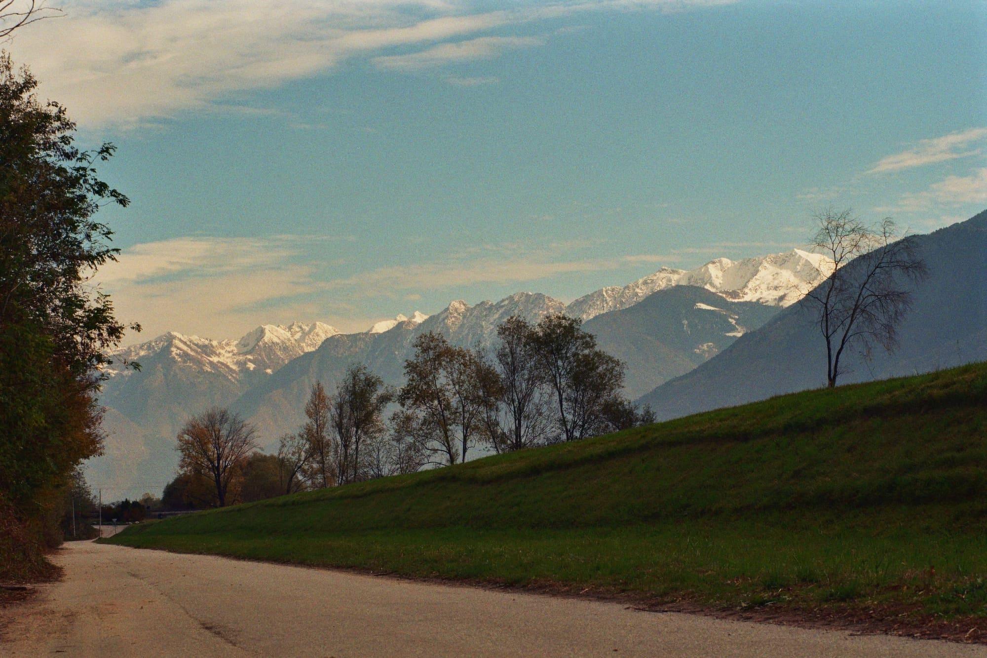
Almost level cycle and foot paths between the Pian di Spagna, Lake Mezzola and the Valtellina, with the train to bring you back.
3 h – 7 h27.5 km · +71 m
Upper Lake
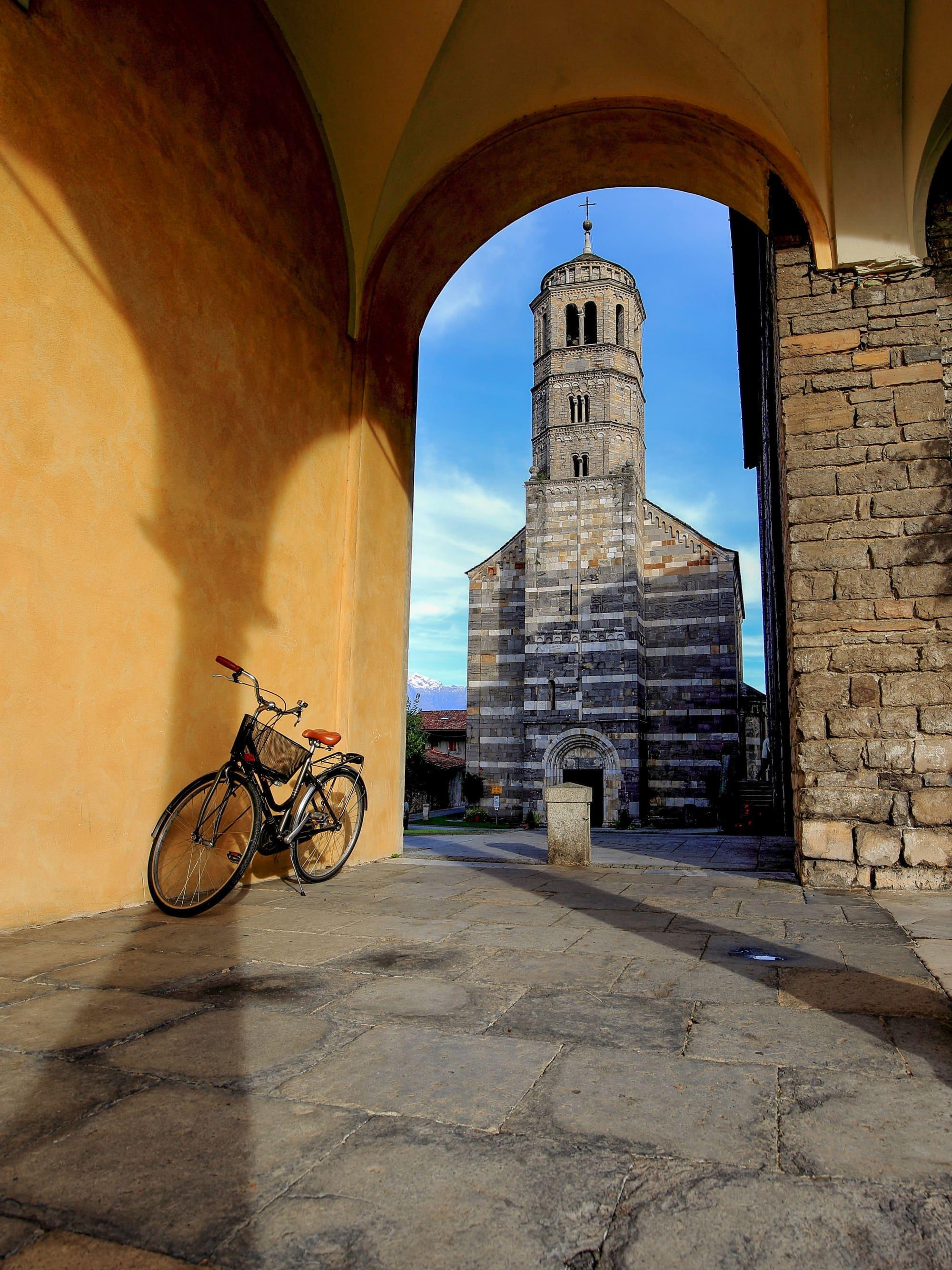
The Romanesque of the upper lake
Four eleventh- and twelfth-century churches in twenty kilometres of shore.
3 h – 5 hCar neededOpen access
Upper Lake
Birdwatching at the Pian di Spagna
Ducks in winter and migrants in spring and autumn, in the reserve where the Adda flows into the lake.
2 h – 4 hCar neededOpen access
Upper Lake
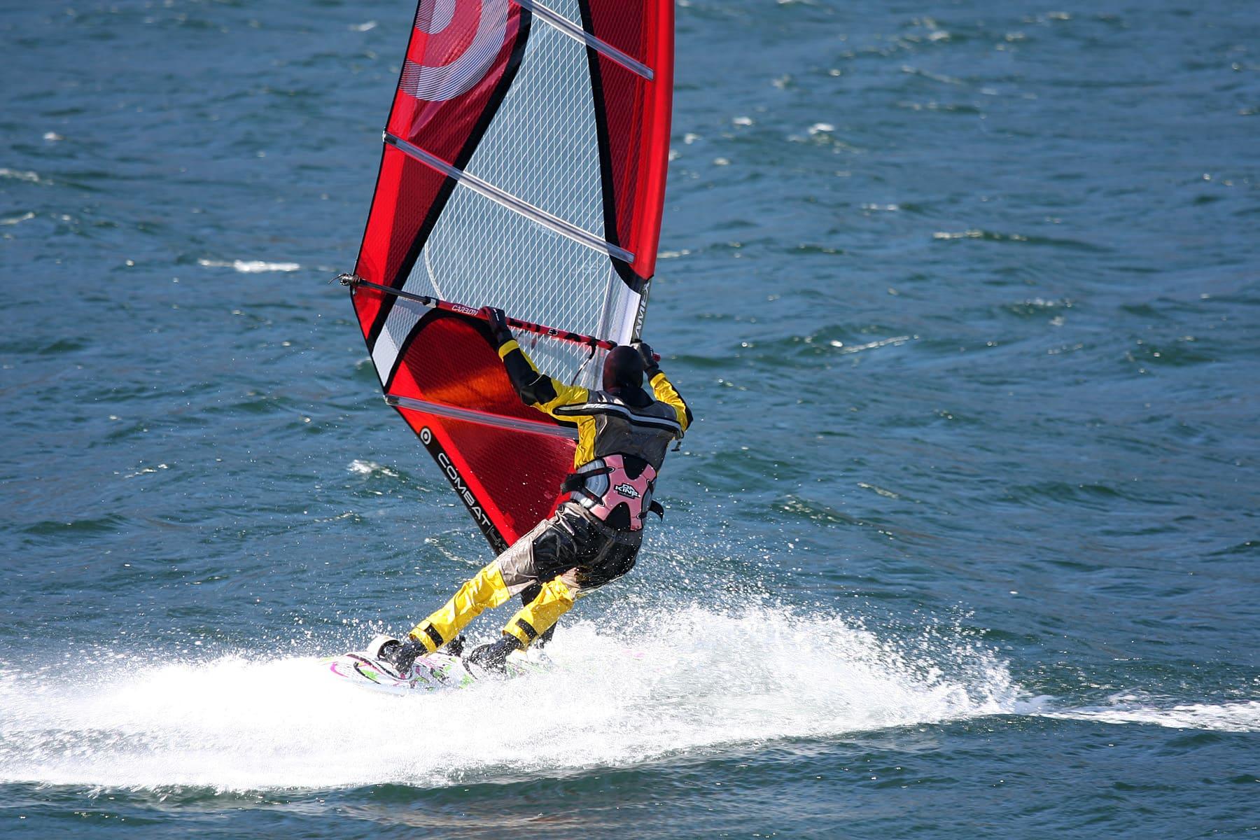
Wind and board on the upper lake
Windsurfing, kitesurfing and sailing on the upper lake, where the Breva can strengthen in settled weather.
3 h – 5 hCar needed
Events
Before you go
How long it takes
- from Milan1 h 25Train
- from Como1 h 50Train · by car 1 h 35
- from Lecco45 minTrain · by car 50 min
Typical door-to-door times by public transport, changes included. From Milan, counted from Centrale station.
Tourist office
Infopoint Colico
Via Pontile 7, 23823 Colico
Every day 9:00 to 13:00 and 14:00 to 17:30
Updated: 8 Oct 2026 · North Lake Como — Associazione Turismo e Commercio Alto Lago.
Parking and services
- Car park10 spaces · free
- Car parksurface · 6 spaces · free
- Car parksurface · 5 spaces · free
- Car parkfree
1 public toilet14 drinking fountains1 pharmacy3 cash machines2 defibrillators
Car parks and services on the map
Within two and a half kilometres of the centre; check car park spaces and fees on arrival.
Why choose Colico as a base?
For rail connections to Milan, Lecco, Sondrio and Chiavenna, the boat terminus and the Valtellina cycle path. Nearby you can visit Forte di Fuentes, Forte Montecchio Nord and the Fontanedo tower. Varenna is reached by train; for Bellagio, continue from there by ferry or boat.
How do I get to Piona Abbey?
The abbey stands at the tip of the Olgiasca peninsula. It can be reached by car or bike, or on foot along the CAI routes from Olgiasca. Some boats call at the Piona pier below the abbey: check connections in the current timetable.
Webcams
- Colico, from the marinaLive video · Nausika Yacht
- Colico, the kite beachLive video · Jordan'Surf Kitezoo, su Vedetta
- Area
- The Upper Lake
- Population
- 7,700
- Elevation
- 218 m
The wind measured here, hour by hour
Updated 27 October 2026
The mountains around the village hide the sun before astronomical sunset: sunrise and sunset are worked out on the village's own horizon.
Today, 1 November, estimated sunlight at the reference point: first at 09:21 and last at 16:21, giving 6 h 37 of direct sun, out of 10 h 05 of daylight.
Today the sun arrives between 09:18 and 10:02, depending on the street.
JuneDecembertoday
Watch the shadow reach Colico today
See from Colico where the sun goes, in 3D
The sun at an exact spot in Colico: your hotel, a beach, a street
A table in the sun in Colico
Places near the shore with outdoor seating, with today's estimated first and last sun at the marked point. Those with the latest sun come first. Clouds and shade from buildings, trees or awnings can change the light on the tables; check opening hours with the venue.
- Piazza Giuseppe Garibaldirestaurant09:21–16:20
- Viale Padaniarestaurant09:52–16:20
- Via Montecchio Nordrestaurant08:39–16:19
- Via Lungolario Polticafé09:44–16:18
- Via Palazzocafé09:49–16:17
The highest summit in view from here is Cima Centrale del Calvo, 2967 m, 18 kilometres away.
- Monte Berlinghera, 1930 m, 8 km
- Pizzo di Prata, 2729 m, 17 km
- Monte Gruf, 2938 m, 20 km
- Cima di Lavrina, 2313 m, 16 km
- Pizzo Bresciadega, 2666 m, 17 km
- Sasso Manduino, 2888 m, 15 km
- Cima Centrale del Calvo, 2967 m, 18 km
- Monte Sciesa, 2487 m, 13 km
- Monte Colombano, 2008 m, 5 km
- Monte Legnone, 2609 m, 6 km
- Monte Legnoncino, 1711 m, 5 km
- Monte Grona, 1736 m, 15 km
- Monte Bregagnino, 1905 m, 13 km
- Monte Bregagno, 2107 m, 13 km
- Monte Marnotto, 2088 m, 14 km
- Monte Tabor, 2080 m, 15 km
- Pizzo di Gino, 2245 m, 18 km
- Cima Pomodoro, 1978 m, 19 km
- Monte Cortafon cima est, 1688 m, 12 km
- Monte Marmontana, 2316 m, 16 km
- Monte Torresella, 2246 m, 15 km
- Punta di Valstorna, 2154 m, 15 km
- Monte Cardinello, 2520 m, 15 km
- Monte Duria, 2264 m, 12 km
- Monte l'Usciolo, 2147 m, 11 km
- Pizzo San Pio, 2301 m, 14 km
- Pizzo Cavregasco, 2535 m, 14 km
- Scima du Zoch, 2102 m, 10 km
- Pizzo Ledù, 2505 m, 11 km
- Sas Piz, 2141 m, 9 km
- Sasso Bianco, 2397 m, 10 km
The ochre line follows today's sun path and marks the estimated times of its first and last appearance above the mountains. Drag the panorama to see all of it.
How it is drawn
Paler ridges are farther away; heights are stretched two and a half times. Houses are not drawn, nor are trees within half a kilometre. Terrain © Regione Lombardia (CC BY 4.0); summits © OpenStreetMap contributors.
Official bathing sites nearby, with their water quality classifications.
- Inganna - Lc 530.8 kmPoor · in July, sun estimated until 20:21 at the marked point3D — see from the beach at Inganna - Lc 53 where the sun goes
- Lido di Colico0.8 kmGood · for 10 seasons · in July, sun estimated until 20:16 at the marked point3D — see from the beach at Lido di Colico where the sun goes
- Laghetto Piona2.5 kmSufficient · in July, sun estimated until 20:15 at the marked point3D — see from the beach at Laghetto Piona where the sun goes
Are there museums in Colico?
You can visit Forte Montecchio Nord, with its First World War guns, and, in Villatico, Molino Maufet and the Museum of Rural Culture. The mill retains its millstones and has two rebuilt wheels; the museum displays domestic interiors and tools from rural life around 1900.
Is Colico good for windsurfing and kitesurfing?
Yes: sailing, windsurfing and kitesurfing take place off Colico, Gera Lario and Domaso. In anticyclonic conditions the Breva blows regularly and can raise waves. Conditions also vary in the morning, when the Tivano may blow. Check the forecast, wind on the spot and rules for launching areas.
Can you see both forts on one walk?
Yes, on the Sentiero dei Forti, waymarked by CAI: a nine-kilometre loop from Colico station, between 210 and 290 metres, easy, about three hours. From the station underpass you climb to Forte Montecchio Nord, the First World War Forte Lusardi; through the woods, among dry-stone walls, vegetable plots and vineyards, you reach Monteggiolo and the Forte di Fuentes, the bulwark the Spanish built in 1603 against the Grisons; then you go down along the Adda to its mouth and back into town by the little harbour and Piazza Garibaldi. Note that the path crosses the Forte di Fuentes, and outside its opening hours the way through is closed.
What is there to see in the centre of Colico?
A walk of 3.6 kilometres, an hour on foot without stops, starts from the infopoint on Via Pontile. You start at the Art Nouveau landing stage of 1907 and the Lungolario Polti, the lakeside promenade to the mouth of the Perlino, with the memorial to those lost at sea; then Piazza Garibaldi with its large fountain and the little harbour, built at the start of the nineteenth century, when it was the meeting point between traffic on the lake and traffic by land. Past the playground, a dirt road crosses the La Breva beach, a wide lawn on the lake, and a small wooden bridge over the Inganna leads to the L'Ontano beach, a kite and windsurf spot. You follow the Inganna up and then the road through the woods to Forte Montecchio Nord, below the two medieval towers of the fortified line Bernabò Visconti ordered in 1357, which cannot be visited; you go down towards the station, already a railway junction at the end of the nineteenth century, and along Via Nazionale reach Piazza San Giorgio, with its fountain of 1880 where the patron saint's church and the town hall once stood, and Villa Polti, which belonged to the senator Achille Polti. The fort opens only on certain days: check them first.
Are there walks on the mountains above Colico?
Yes, and nearly all of them start from Villatico, the hamlet below the Legnone. The easiest is the Villatico loop, five kilometres and two hours all year between 288 and 500 metres: behind the church, under the stone arch, up Via Fontana past the old convent, then on the Sentiero del Viandante between the Perlino and Inganna streams, past the church of San Rocco, which volunteers open at weekends in July and August, to the Acqua la Fevra; you come back by the old dairy and the wash house, where part of the channel of a mill documented as early as 1627 remains. Higher up, from March to November, there is the Alpe Rossa loop, twelve kilometres and five hours, demanding, up to 1155 metres: by the hay meadows of Bedolesso and Alpetto to the Alpe Rossa, where beside the Comune's hut stands a beech listed among the monumental trees of the province of Lecco, and down by Montoc. The round of the Monti di Rusico and the Fontanedo tower also starts from the Acqua la Fevra.
Where is the weekly market?
On Viale Padania, near Colico station.
On the map
What is around, and how far.
© OpenStreetMap contributors · ODbL
Nearby
Typical door-to-door times.
Sources and credits
- Maps, parking, services and distances: © OpenStreetMap contributors (ODbL).
- Train times: open data of the Lombardy Region, as of 1 October 2026.
- Freely licensed photographs: authors and licences under Photograph credits.
Sources and credits
- Maps, parking, services and distances: © OpenStreetMap contributors (ODbL).
- Train times: open data of the Lombardy Region, as of 1 October 2026.
- Freely licensed photographs: authors and licences under Photograph credits.