


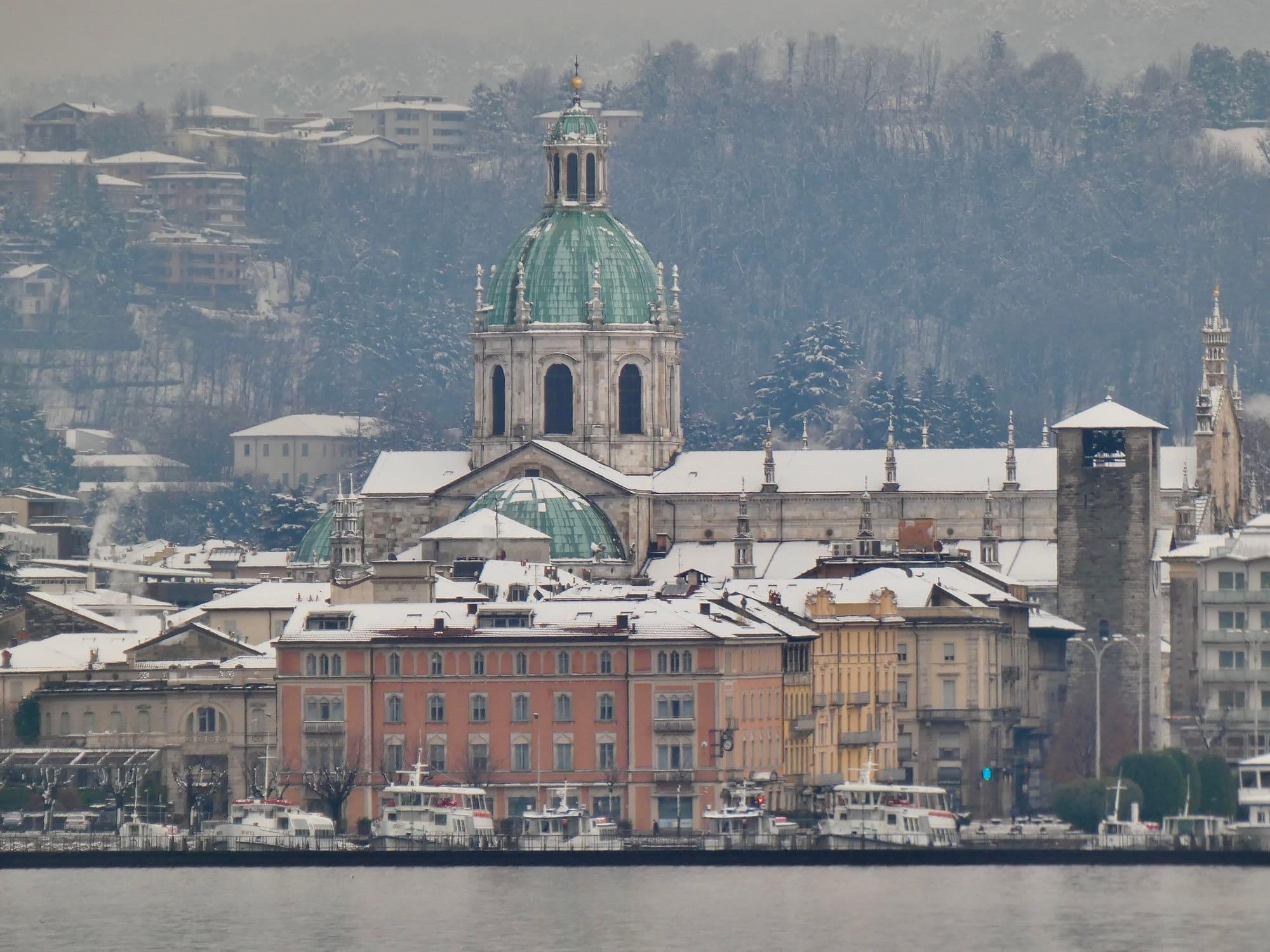
Snow on the mountains around the lake
The depth of snow measured by eight stations on the mountains around the lake, between 840 and 2,280 metres: the latest reading from each, with its time, the last thirty days and the nearest ski areas.
Each station's latest reading
The data source did not answer: there are no readings to show at the moment.
Each station measures the depth of snow on the ground every ten minutes. Readings arrive in batches several times a day, so the latest may be a few hours old. The stations are in order of altitude.
Data: ARPA Lombardia · dati.lombardia.it · CC0 1.0
Where the stations are
The stations stand on the mountains around the lake, between 2 and 21 kilometres from the shore. On the map a filled circle means snow on the ground at the latest reading, an empty one no snow.
| Station | Altitude | From the shore |
|---|---|---|
| Val GenascaSan Giacomo Filippo · Valchiavenna | 840 m | 17 km |
| CavargnaCavargna · Val Cavargna | 1,100 m | 12 km |
| Alpe RescascìaSan Siro · Western shore | 1,285 m | 2 km |
| GordonaGordona · Valchiavenna | 1,362 m | 14 km |
| Piani di BobbioBarzio · Valsassina | 1,713 m | 13 km |
| PescegalloGerola Alta · Val Gerola | 1,875 m | 20 km |
| Lago TruzzoSan Giacomo Filippo · Valchiavenna | 2,010 m | 21 km |
| MerdarolaVal Masino | 2,280 m | 17 km |
Ski areas near the lake
The altitudes, the lake village the road starts from and a link to each area's lift page. A measuring station records the snow at a single point.
Valsassina
Piani di Bobbio
Barzio · Valtorta
From the lake: Lecco
Measuring station: Piani di Bobbio, 1,713 m
Piani di Bobbio is reached from Barzio by the gondola, which leaves from the La Piazza area.
Imprese Turistiche Barziesi (ITB S.p.A.)
Val Gerola
Pescegallo
Gerola Alta
From 1,450 m to 2,000 m
From the lake: Colico
Measuring station: Pescegallo, 1,875 m
From Pescegallo, at 1,450 metres, the chairlift climbs to 1,850 metres; the Salmurano drag lift reaches 2,000 metres.
Funivie del Pescegallo – FU.PES. S.p.A.
Valchiavenna
Skiarea Valchiavenna
Madesimo · Campodolcino
From 1,550 m to 3,000 m
From the lake: Colico
The area can also be reached from Campodolcino, at 1,082 metres, by the Sky Express funicular up to Motta, at 1,721 metres.
Skiarea Valchiavenna S.p.A.
How to read the readings
What is measured
The snow gauge, fixed above the ground, measures the distance to the ground: when there is snow the distance gets shorter, and the difference is the depth of snow at that point, in centimetres. Each reading is the mean of the ten minutes ending at the time shown.
When a reading is snow
Over a meadow without snow the instrument can measure the grass as a few centimetres, sometimes a few tens. So a reading counts as snow only if, in the thirty days up to it, the same station recorded at least one day with precipitation and a low of 2 °C or less: snow needs both precipitation and cold. Readings that do not count as snow are left out of the charts; for each station's latest reading the instrument's value is still given.
The stations
The eight stations belong to ARPA Lombardia's weather network; each also has a thermometer and a rain gauge. The lowest is in Val Genasca, in Valchiavenna, at 840 metres; the highest at Merdarola, in Val Masino, at 2,280 metres. The nearest to the lake is at Alpe Rescascìa, above San Siro, about 2 kilometres from the shore.