Skip to content

Colico

Pian di Spagna Reserve

Visit duration
1 h 30 – 4 h
Booking
Not required
Area
Upper Lake
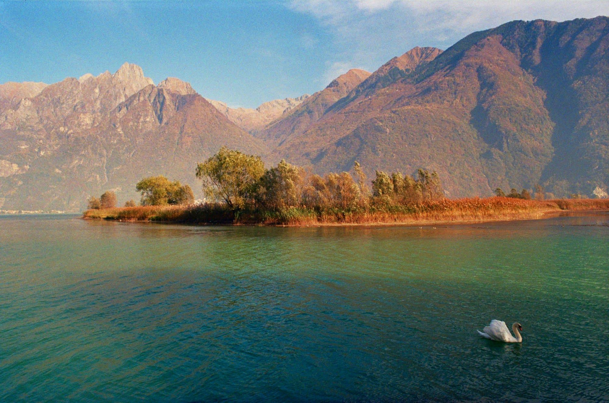
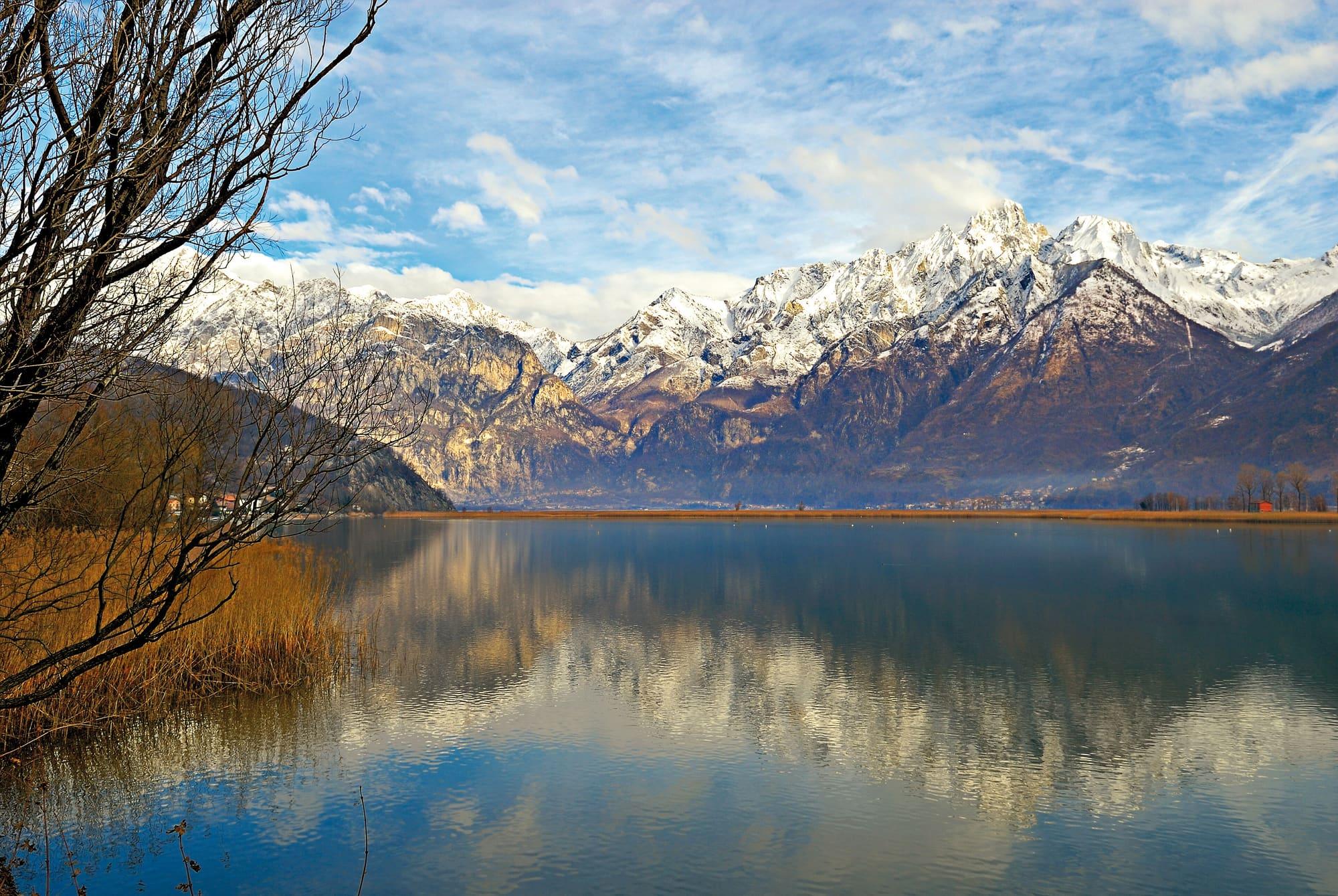
The Lago di Mezzola perfectly still in winter, dry reeds on the shore and snowy mountains mirrored in the water.Voxblack · CC BY-SA 4.0
  • Emibuzz · CC BY-SA 4.0
  • Emibuzz · CC BY-SA 4.0

1 / 3

The Lago di Mezzola perfectly still in winter, dry reeds on the shore and snowy mountains mirrored in the water.

Voxblack · CC BY-SA 4.0

Why go

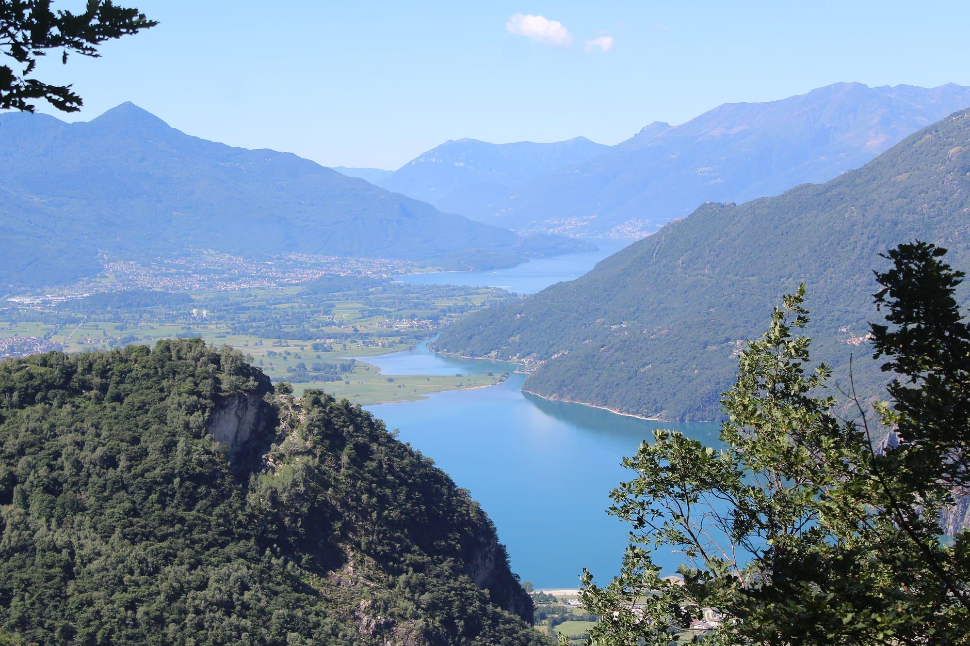
The Pian di Spagna and Lago di Mezzola nature reserve covers the alluvial plain that separates Lake Como from Lake Mezzola, built up by deposits from the Adda and the Mera.

It is a wetland of reed beds, ponds and channels, with broad cultivated fields, across the provinces of Como and Sondrio. Since 1976 it has been on the Ramsar Convention's list of wetlands of international importance, and in 1985 it was made a regional nature reserve. Many species of waterbirds breed or spend the winter here, birds of prey nest, and in spring and autumn migrating birds stop over. The plain takes its name from Spanish rule: in the seventeenth century the border between the Duchy of Milan and the Grisons ran here, watched over by the Forte di Fuentes.
  • Level paths, by bike too.
  • Reed beds and pools at the mouth of the Adda, with hides for watching birds.

Highlights

  • The observation hides
  • Lake Mezzola
  • The cycle route crossing the plain

Getting there

  • From Colico by bike or car, a few minutes.
  • Three circular walks cross the plain. Route A, five kilometres and two hours, starts from the Ponte del Passo car park and follows the Mera to the Boschetto wood, where until the fifteenth century stood the village of Olonio, a port on the lake and head of a parish district, now buried under the debris of the Adda and the Mera. Route B, 5.3 kilometres and two hours, starts from the level crossing by the Adda bridge and follows the channel the Austrians dug in the nineteenth century to the observatory facing a pond with herons, grebes and kingfishers. Route C, six kilometres and two and a half hours, starts from the picnic area on the remains of the old Ponte del Passo of 1880 and crosses the fields of Via Baletrone to the Cascina della Poncetta, the reserve's teaching and bird-ringing base, and the reed bed. The mouth of the Adda and the reed bed can be visited only with a guide.
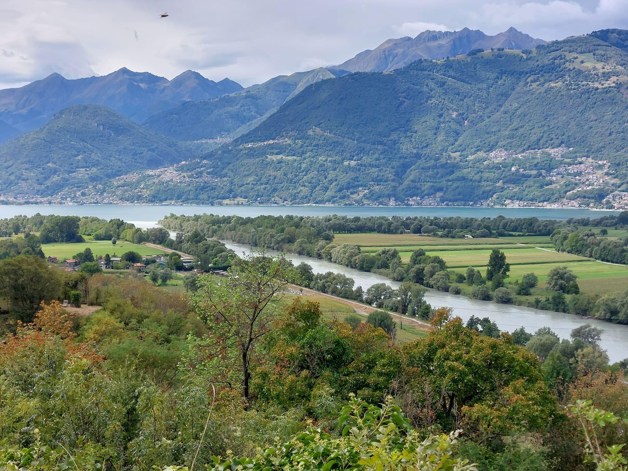
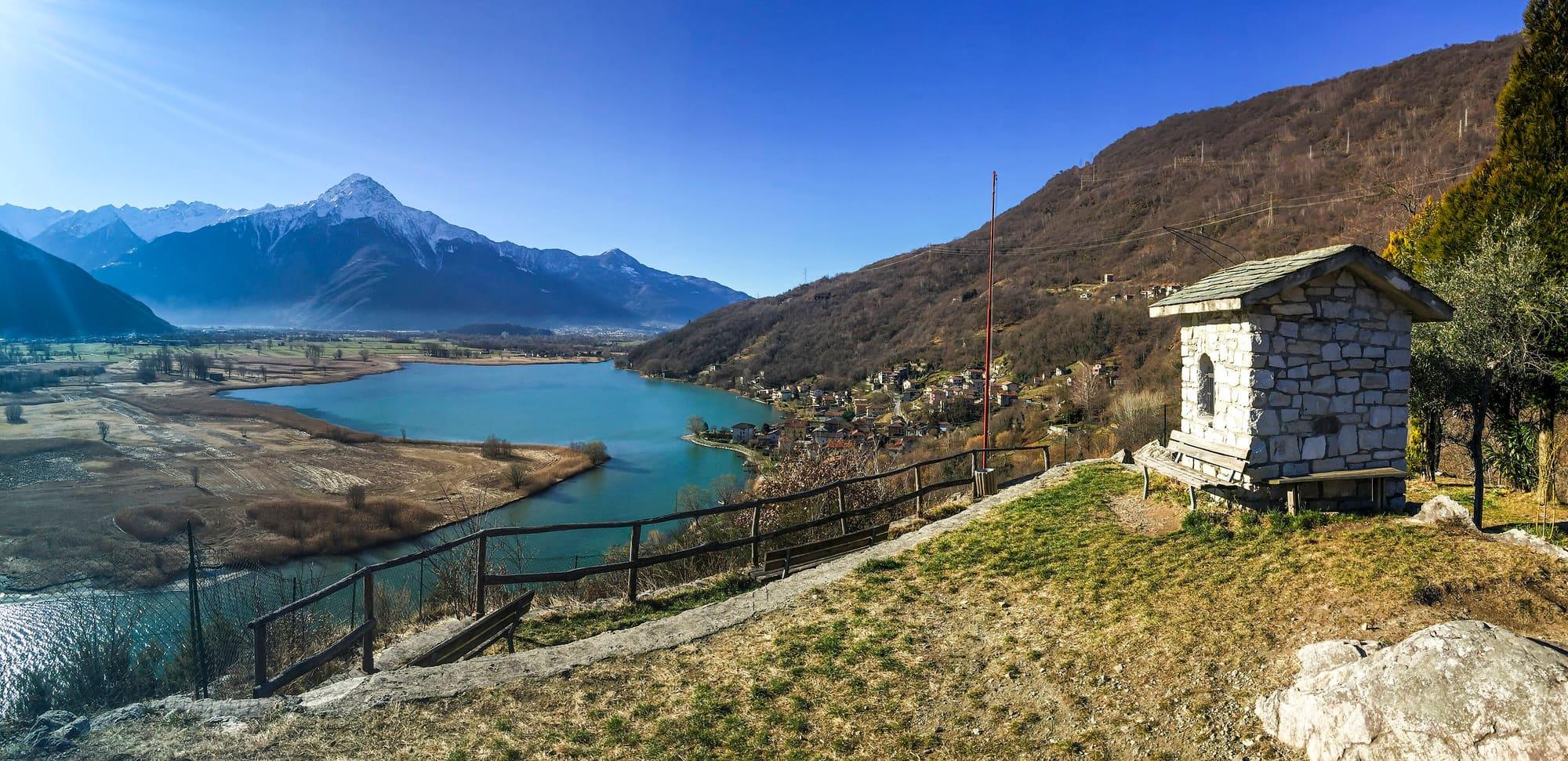
The plain between the two lakes, seen from the mountain.Afrox · CC BY-SA 4.0

Accessibility

  • The route from the Trivio di Fuentes to the mouth of the Adda is a flat dirt road about three metres wide, with a beaten-earth surface marked by bumps and hollows. Halfway along there is a level wooden walkway for watching birds; there are no toilets on the way.
  • The way to the Sasso di Dascio viewpoint is level only at first and then has varying gradients. The path runs on tarmac and then over stone that is uneven in places; there are no toilets at the viewpoint.
  • The reserve's headquarters in Sorico has a six-centimetre step at the entrance, a lift between the ground and first floors and a toilet for disabled visitors on each floor.

On the map

Explore the lake
ColicoSoricoPian di Spagna Reserve

© OpenStreetMap contributors · ODbL

What's on nearby

Events within a few kilometres, on now or coming up.

See all

Nearby: places, experiences, services

Distances as the crow flies.

Sources and credits

Sources and credits