


Until2Nov
Upper Lake
Sorico
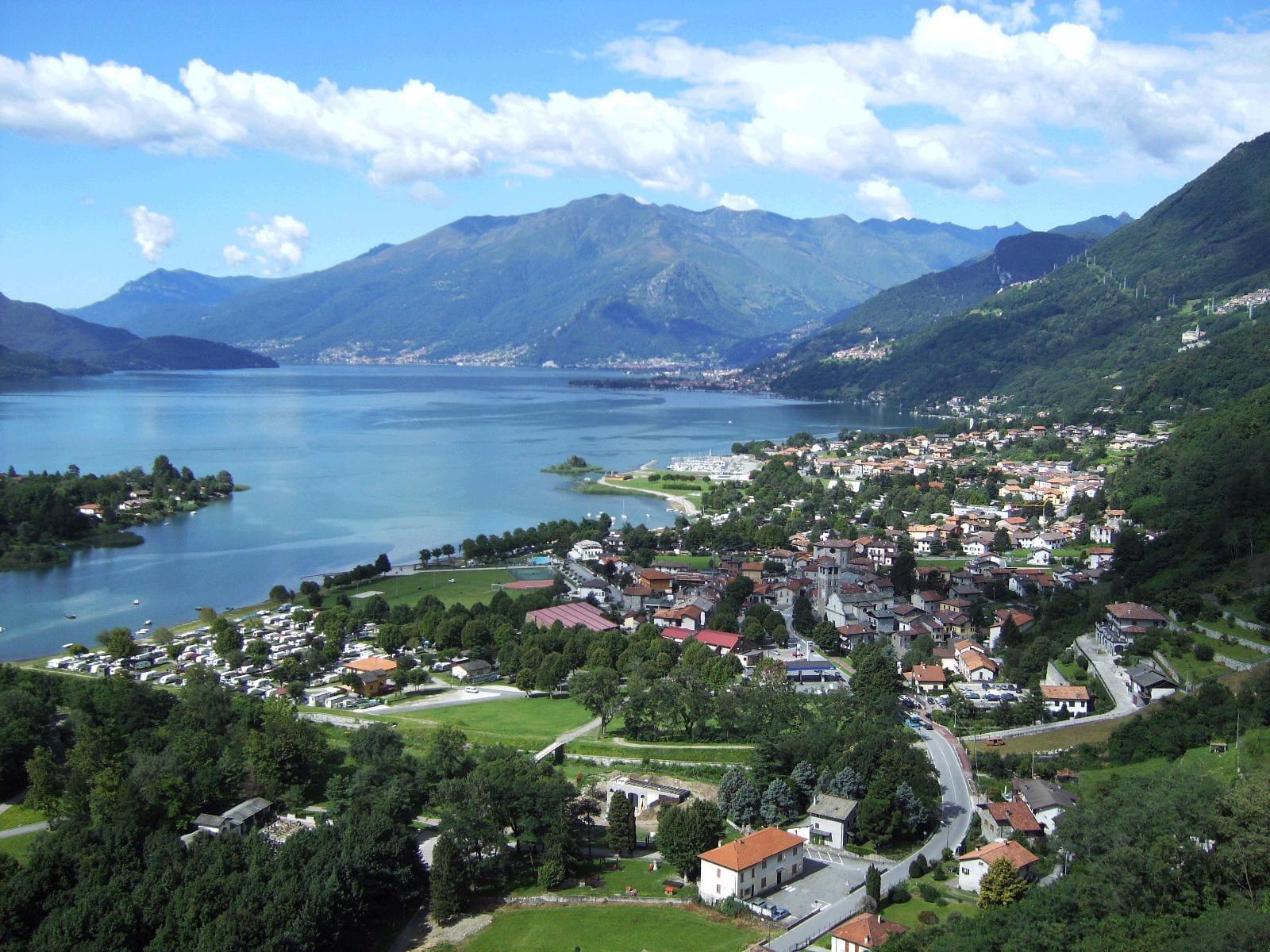
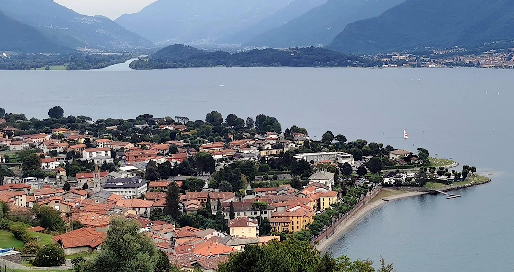
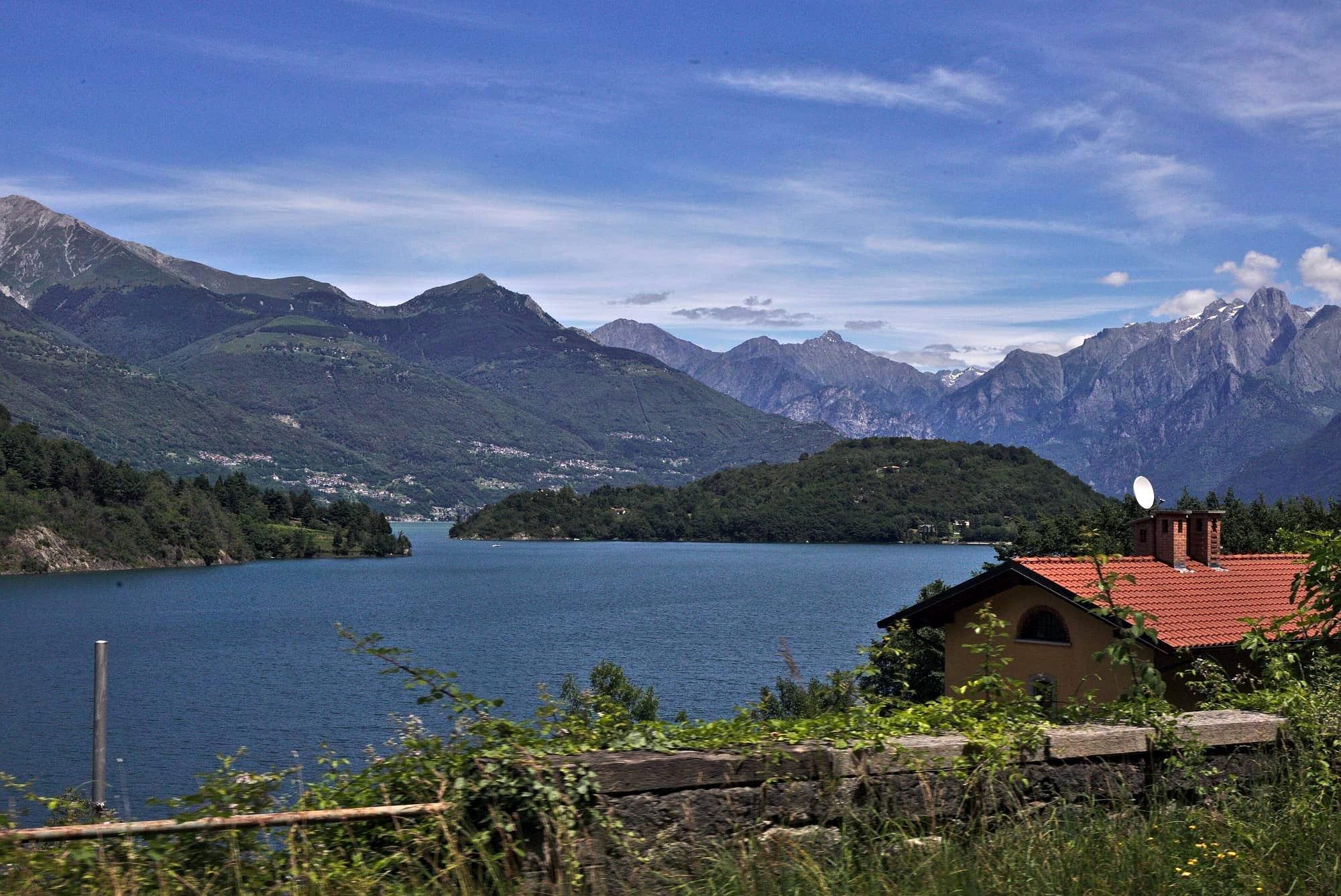
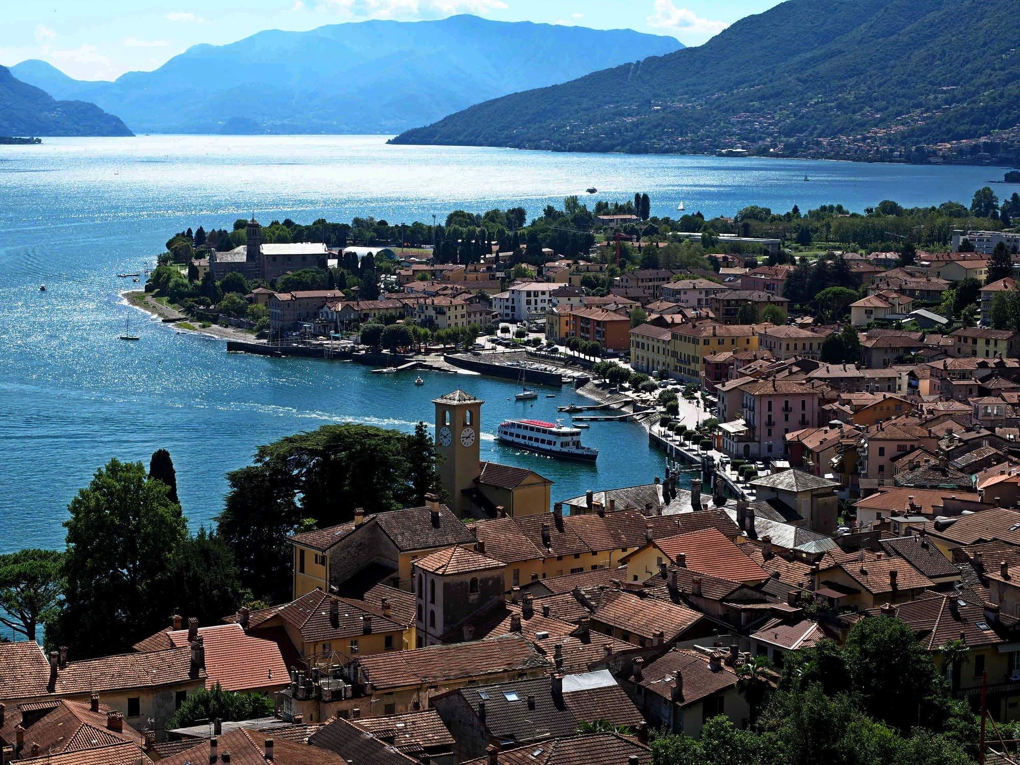
The last village on the lake, where the Mera flows into it: a village of the Tre Pievi below San Miro, with Dascio on the water and the Pian di Spagna reserve.
- Ideal for
- The upper lake's mule tracks and viewpoints, the nature reserve, walks from the door
- Time needed
- Half a day for the village and San Miro; a whole day with the Pian di Spagna or the Berlinghera
- Best season
- Spring and autumn for walking, summer for the water
- What to see
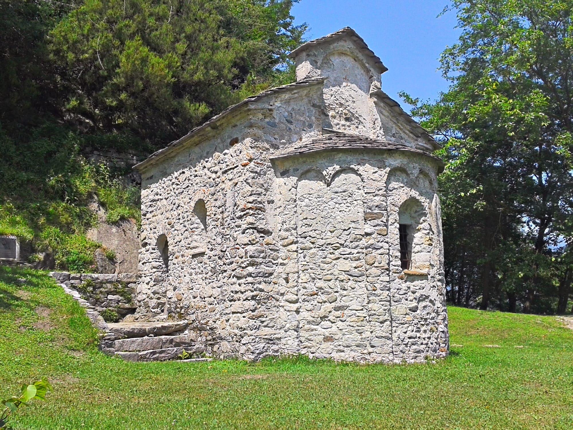
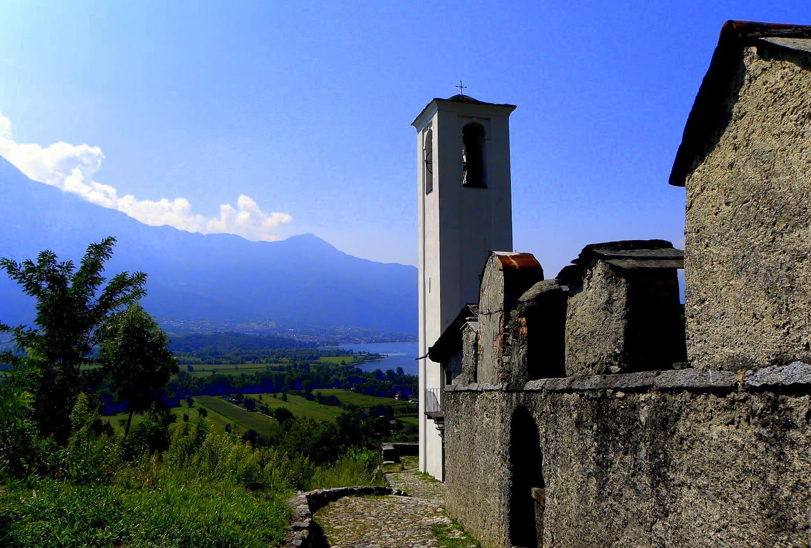
- The climb to San Miro, above the village
- Best reached by
- C110 bus from Colico or Menaggio; by bike or on foot from Domaso on the cycle path
- Halina Frederiksen · CC BY 3.0
- Ottantafame · CC BY-SA 4.0
The place
Sorico is the comune at the northern tip of the lake, stretching from the mouth of the Mera to Lake Mezzola, with the hamlets of Albonico, Bugiallo and Dascio, the old fishing village.
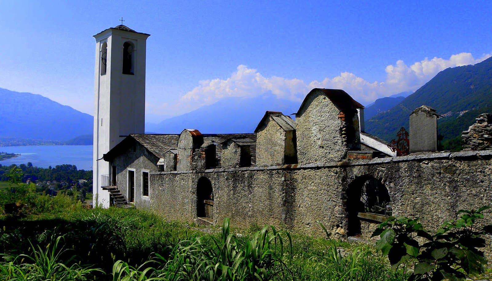
It was founded in 1432, after the Mera had destroyed Olonio, the village of Roman origin on the Pian di Spagna, one time too many; with Gravedona and Dongo it made up the Tre Pievi, which held the head of the lake from the twelfth to the sixteenth century, and from the sixteenth century to the end of the eighteenth century it was the border between the Grisons and the Duchy of Milan, a military outpost and a crossing for trade with northern Europe. Its churches include the fifteenth-century parish church of Santo Stefano with its bell tower, and the little church of San Miro looking down on the village; from Dascio a walk leads to the small temple of San Fedelino. Above the village rises Monte Berlinghera, 1,930 metres, on the border with the province of Sondrio, and most of the Pian di Spagna and Lake Mezzola nature reserve lies within the comune of Sorico.
Sorico is the comune at the northern tip of the lake, stretching from the mouth of the Mera to Lake Mezzola, with the hamlets of Albonico, Bugiallo and Dascio, the old fishing village.
Read on
It was founded in 1432, after the Mera had destroyed Olonio, the village of Roman origin on the Pian di Spagna, one time too many; with Gravedona and Dongo it made up the Tre Pievi, which held the head of the lake from the twelfth to the sixteenth century, and from the sixteenth century to the end of the eighteenth century it was the border between the Grisons and the Duchy of Milan, a military outpost and a crossing for trade with northern Europe. Its churches include the fifteenth-century parish church of Santo Stefano with its bell tower, and the little church of San Miro looking down on the village; from Dascio a walk leads to the small temple of San Fedelino. Above the village rises Monte Berlinghera, 1,930 metres, on the border with the province of Sondrio, and most of the Pian di Spagna and Lake Mezzola nature reserve lies within the comune of Sorico.
The border village
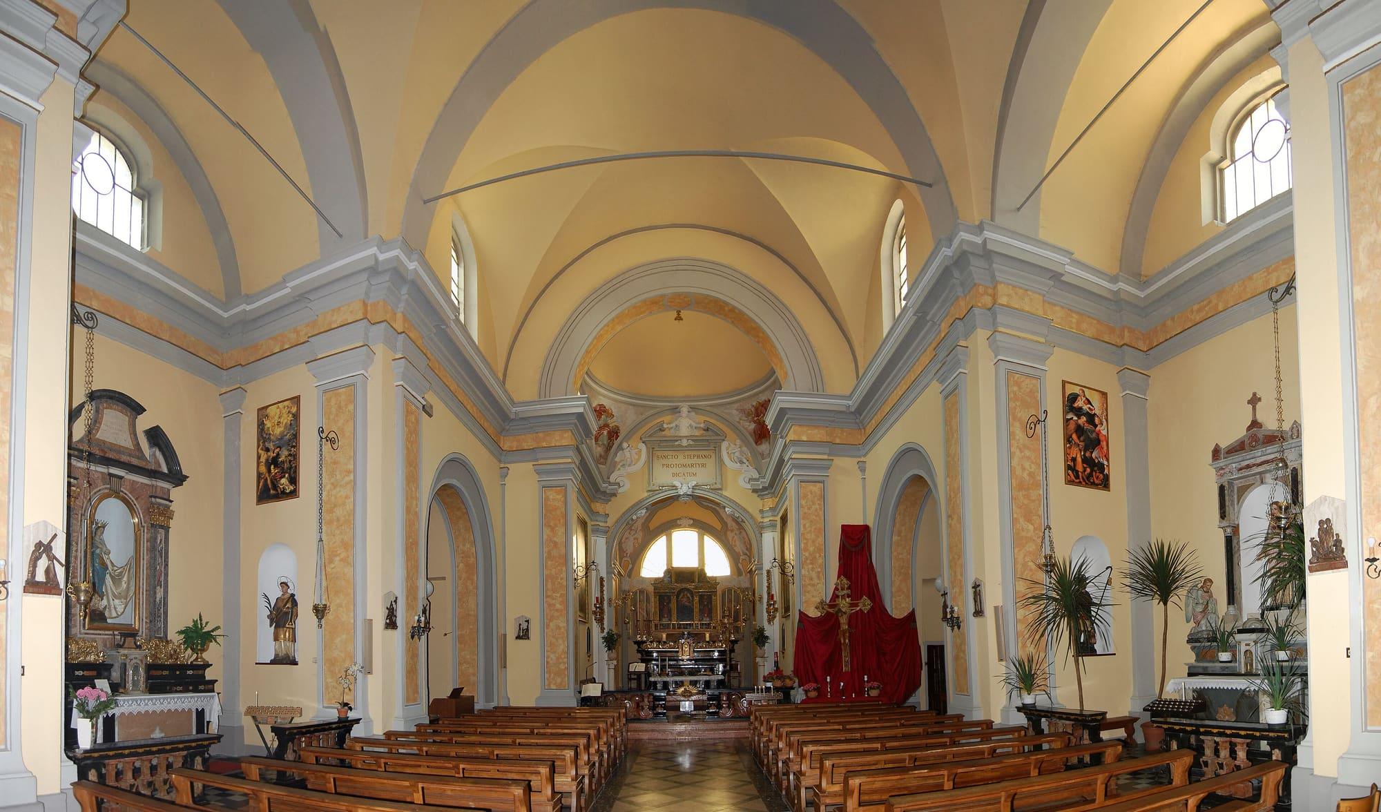
Sorico is younger than its neighbours: it was founded in 1432, after the Mera had destroyed Olonio, down on the Pian di Spagna, one time too many. The parish church of Santo Stefano was built in 1443 to replace Olonio's and remade at the start of the eighteenth century by the Giulini family; it faces Piazza Cesare Battisti, where the town hall stands and where the walk up to San Miro begins.
For almost three centuries, from the sixteenth century to the end of the eighteenth, the border between the Grisons and the Duchy of Milan ran through here. What remains of it, beside the San Miro stream, is a ruined little tower of the old lookouts. The paved lane that runs from the village towards the mouth of the Mera, past the old wash house, is also a cycle path: it leads to where the river enters the lake, with the Legnone opposite and an avenue of beeches that turns orange-red in autumn.
History
In 1455 a bull of Pope Callixtus III confirmed the transfer of the titles of parish, archpriestship and pieve from Olonio to Santo Stefano. In 1701 the Counts Giulini obtained the patronage of the parish church, and in the first decades of the eighteenth century they built their palace at Sorico. On the night of 1 September 1755 a flood of the Sorico stream partly buried it under debris. In 1783 the stream was diverted into its present bed; the palace survives as a ruin.
During the First World War Sorico became a military post once more: at Brentalone, on the Berlinghera, observation posts and powder magazines were cut into the rock, reached by the military road that climbs from Albonico. At the end of the Second World War the same mountain was the base of the “Puecher” detachment of the 52nd Garibaldi Brigade, the partisan brigade that arrested Mussolini at Dongo on 27 April 1945.
Work and traditions
In 1520 a flood moved the mouth of the Adda, which until then had flowed into Lake Mezzola, and the Pian di Spagna became a malarial marsh. The villagers moved up to the slopes and farmed terraces held up by dry-stone walls. In summer they took their cattle up to the high pastures of the upper Valchiavenna, a custom that lasted until the 1950s. In the nineteenth century, under Austrian rule, the course of the Adda was straightened and the plain slowly became farmland again.
On the Mera and in the channels of the plain people used the quatrass, a flat-bottomed boat made of four chestnut planks, for fishing and for carrying cattle, hay and blocks of granite. In 1905 a hydroelectric plant went into service on the Sorico stream at Piazzo. Every year, on 1 and 2 November, the village centre holds the Fiera dei Morti, with its stalls and its livestock area.
The churches of the hamlets
At Bugiallo, on the way up the Berlinghera, the church of San Giovanni Battista stands just outside the village. It was already an oratory in 1456; it was enlarged in the mid-sixteenth century and consecrated in 1599 by Filippo Archinti, Bishop of Como. The bell tower, begun in 1637, stands in front of the façade, and behind the chancel is a small ossuary chapel painted in the mid-eighteenth century.
At Albonico, the northernmost hamlet in the province of Como, the church of San Sebastiano was built between 1767 and 1779 and decorated in 1893 by the Tagliaferri brothers of Pagnona. At Dascio the first church of San Biagio already stood in the mid-fifteenth century and was destroyed in 1636 on the orders of Count Giovanni Serbelloni. The present church, with its neoclassical front, was built between 1900 and 1908.
The Mera, Dascio and the paths
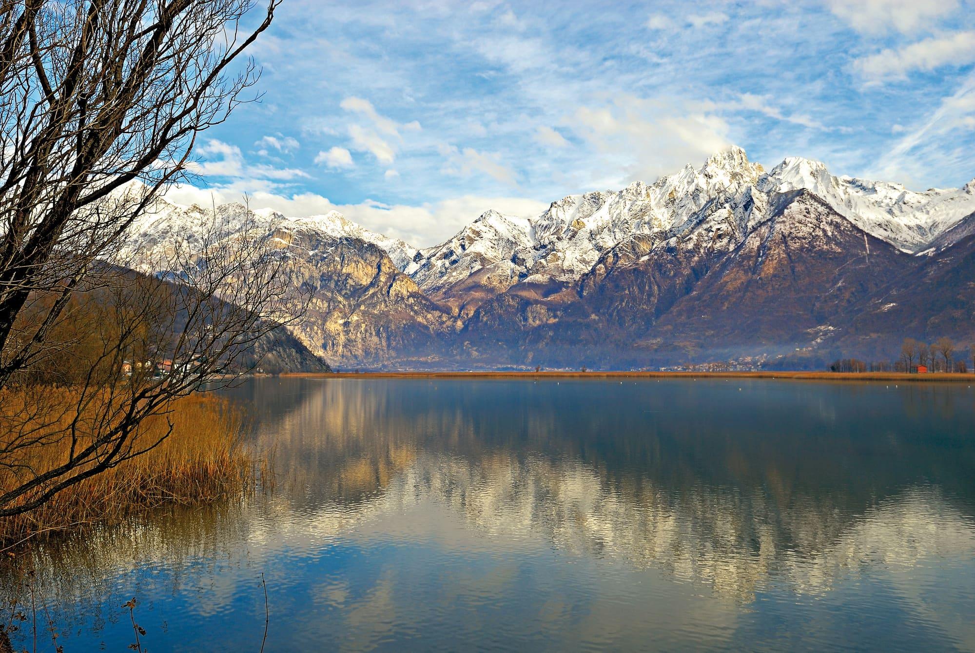
North of the village the Mera leaves Lake Mezzola, and between the two lakes the Pian di Spagna opens out. The nature reserve that protects them, for the wealth of their plants and animals, lies mostly within the comune of Sorico. A loop of nine and a half kilometres, “A balcony over the Pian di Spagna”, climbs in San Miro's footsteps to the Sasso di Dascio, the viewpoint over the reserve and Lake Mezzola, and comes back along the Mera.
Dascio is the old fishing village on the water. From there a six-kilometre path follows the old Via Regina round Monte Peschiera, past old granite quarries, to the small Romanesque temple of San Fedelino on the Mera. The mule tracks of the old parish district also start from Sorico, towards Bugiallo and Montemezzo, and from San Bartolomeo you climb Monte Berlinghera; the Via dei Monti Lariani, which runs along the mountainside above the western shore from Cernobbio, ends here after 125 kilometres.
Events
See allThings to see
Experiences
Centro Lago
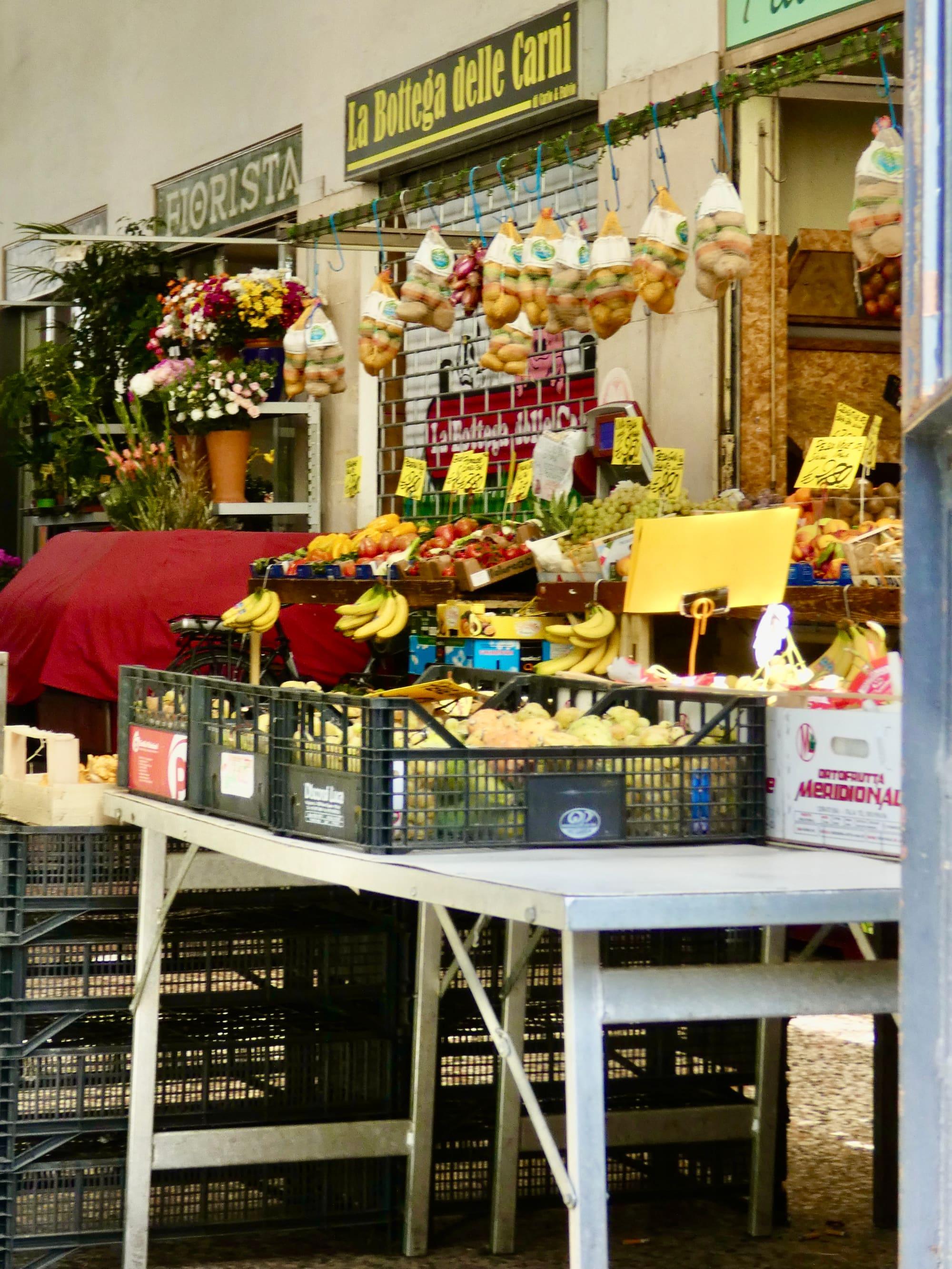
The lake markets
The weekly markets of Como, Lecco and the lake villages: days and squares.
1 h – 2 h 30Open access
First Basin
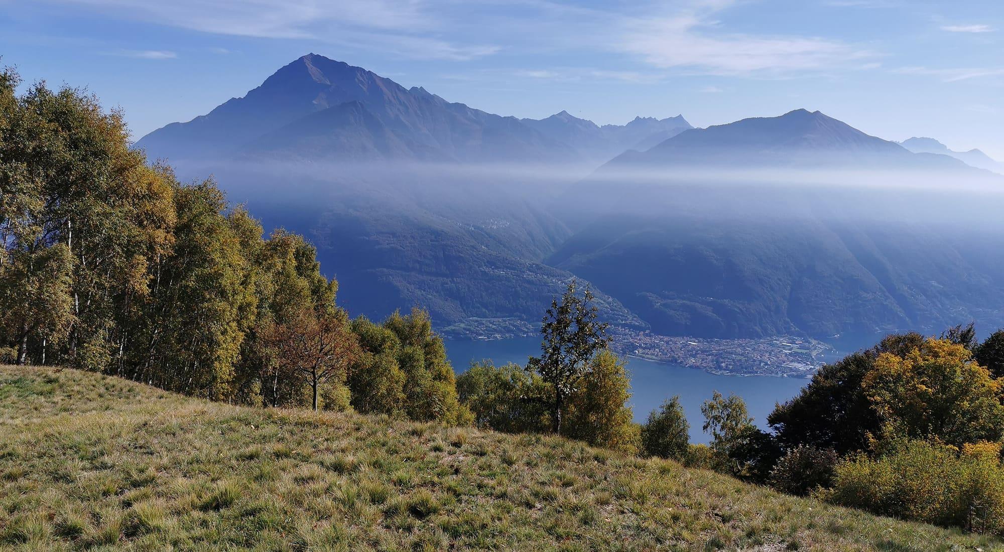
The Via dei Monti Lariani
From Cernobbio to Sorico, 125 kilometres along the slopes above the western shore, from one old summer pasture to the next, between 600 and 1,200 metres.
4 h – 8 hOpen access
Upper Lake
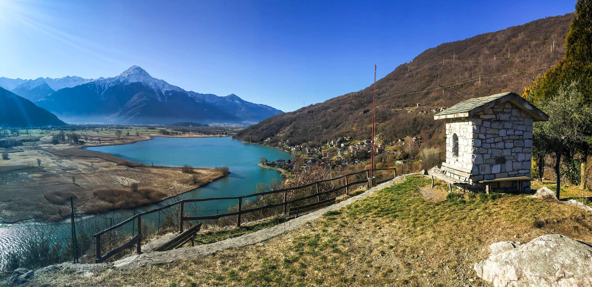
A balcony over the Pian di Spagna
A nine-and-a-half-kilometre loop from Sorico, in San Miro's footsteps to the Sasso di Dascio, the lookout over the nature reserve and Lake Mezzola, and back along the Mera.
2 h 30 – 3 h 30Open access
Upper Lake
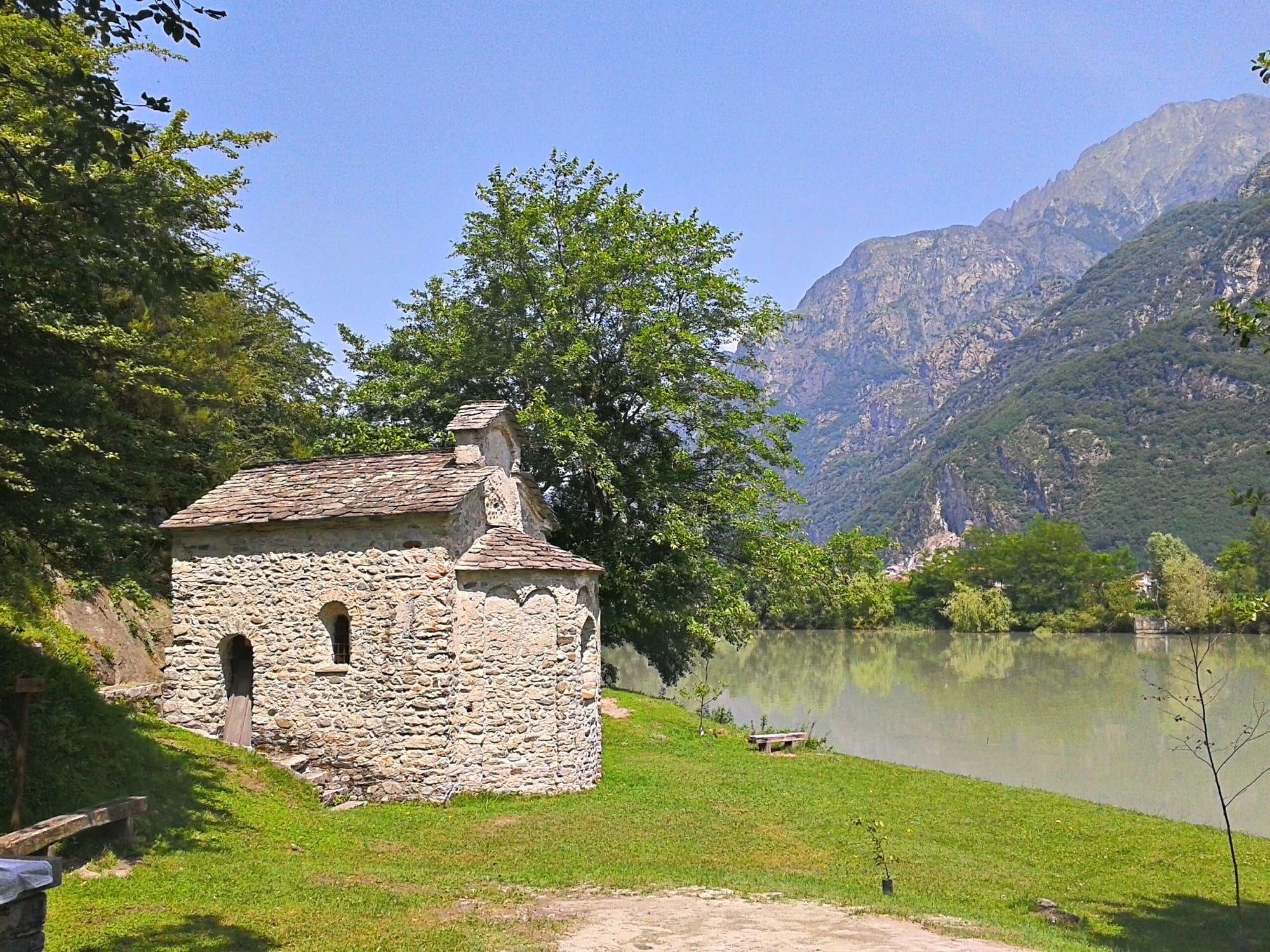
From Dascio to San Fedelino
Six kilometres from Dascio on the old Via Regina around Monte Peschiera, among old granite quarries, to the tenth-century Romanesque temple of San Fedelino on the Mera.
2 h 30 – 3 h 30Open access
Events
Before you go
How long it takes
- from Milan1 h 45Train, then bus
- from Como1 h 40Bus · by car 1 h 35
- from Lecco1 h 10Train, then bus · by car 58 min
Typical door-to-door times by public transport, changes included. From Milan, counted from Centrale station.
Webcams
- Rifugio Dalco, above Gera and SoricoUpdated image · Rifugio Dalco, su Rifugi di Lombardia
- Area
- The Upper Lake
- Population
- 1,200
- Elevation
- 201 m
The snow measured on the mountains nearby
Updated 22 October 2026
How do I get to Sorico?
On ASF Autolinee's C110 bus, the western-shore line between Como, Menaggio and Colico: about ten minutes from Colico station, with stops in the village on Piazza Cesare Battisti and along the Statale Regina. The line boats do not come this far: the nearest piers are Domaso and Colico. From Domaso you can also come by bike or on foot, on the cycle and footpath along the lake and the Mera.
How do I get up to San Miro?
On foot, from Piazza Cesare Battisti, on a three-kilometre walk with 160 metres of climb: across the main road and the bridge over the San Miro stream you climb the cobbles of the Antica Regina and a mule track through the woods, past the cave where the hermit Miro died in 1381 and the little chapel over the spring, up to the Romanesque church. The climb is not suitable for people with reduced mobility.
The mountains around the village hide the sun before astronomical sunset: sunrise and sunset are worked out on the village's own horizon.
Today, 1 November, estimated sunlight at the reference point: first at 07:38 and last at 16:24, giving 8 h 47 of direct sun, out of 10 h 05 of daylight.
JuneDecembertoday
Watch the shadow reach Sorico today
See from Sorico where the sun goes, in 3D
The sun at an exact spot in Sorico: your hotel, a beach, a street
The highest summit in view from here is Monte Legnone, 2609 m, 9 kilometres away.
- Monte Brusada, 2144 m, 9 km
- Monte Foffricio, 1258 m, 6 km
- Monte Seleron, 2519 m, 28 km
- Monte Lago, 2353 m, 22 km
- Monte Olano, 1718 m, 14 km
- Pizzo Olano, 2267 m, 13 km
- Monte Stavello di Pedesina, 2417 m, 14 km
- Monte Pim Pum, 2349 m, 12 km
- Cima Cortese, 2473 m, 12 km
- Monte Colombano, 2008 m, 8 km
- Monte Legnone, 2609 m, 9 km
- Monte Legnoncino, 1711 m, 9 km
- Montecchio Sud, 331 m, 5 km
- Monte di Tremezzo, 1699 m, 24 km
- Monte Bregagnino, 1905 m, 16 km
- Monte Bregagno, 2107 m, 15 km
- Monte Marnotto, 2088 m, 16 km
- Monte Tabor, 2080 m, 16 km
- Cima Pianchette, 2167 m, 18 km
- Sasso Pelo, 910 m, 6 km
- La Motta, 1283 m, 4 km
The ochre line follows today's sun path and marks the estimated times of its first and last appearance above the mountains. Drag the panorama to see all of it.
How it is drawn
Paler ridges are farther away; heights are stretched two and a half times. Houses are not drawn, nor are trees within half a kilometre. Terrain © Regione Lombardia (CC BY 4.0); summits © OpenStreetMap contributors.
Official bathing sites nearby, with their water quality classifications.
- Loc. La Punta0.9 kmExcellent · for 11 seasons · in July, sun estimated until 19:41 at the marked point3D — see from the beach at Loc. La Punta where the sun goes
Can you swim at Sorico?
Yes: the official bathing point of Loc. La Punta is less than a kilometre from the village, and the class of its water is assigned at the end of each season from the official sampling; a little further on, on the shore of Gera Lario, are those of Pontile and Spiaggia Acquaforte. The Breva blows up here, the wind that runs up the lake from south to north, which is why the area is known for sailing, windsurfing and kitesurfing.
Where is the market held?
In Piazza Cesare Battisti, in the village centre.
On the map
What is around, and how far.
© OpenStreetMap contributors · ODbL
Nearby
Typical door-to-door times.
Sources and credits
- Maps, parking, services and distances: © OpenStreetMap contributors (ODbL).
- Freely licensed photographs: authors and licences under Photograph credits.
Sources and credits
- Maps, parking, services and distances: © OpenStreetMap contributors (ODbL).
- Freely licensed photographs: authors and licences under Photograph credits.