21Nov
Colico Christmas markets
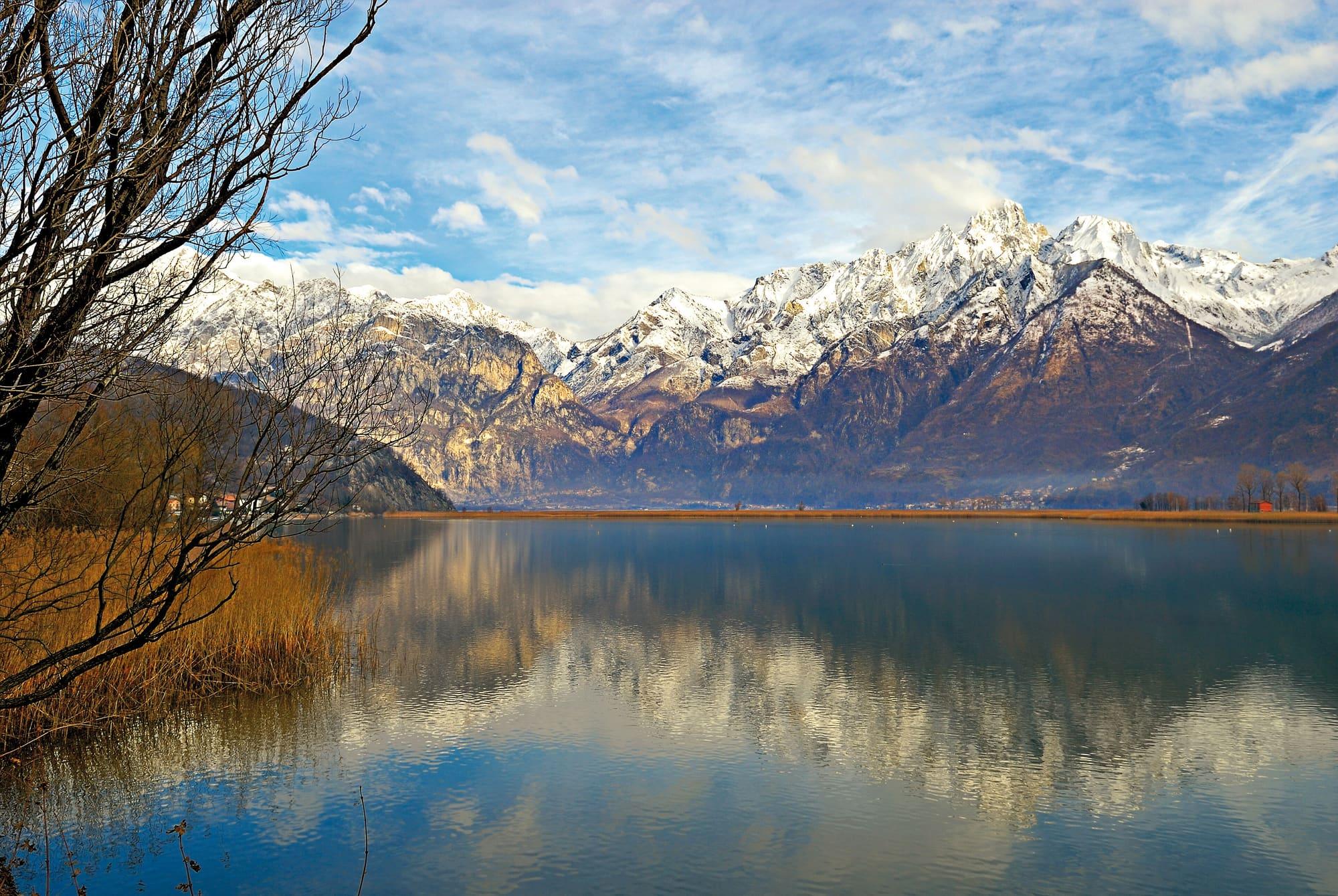
Christmas stalls on Piazza Garibaldi, by the lake, at weekends and on holidays until after Epiphany.
Piazza Garibaldi, Colicountil 10 January 2027
Upper Lake
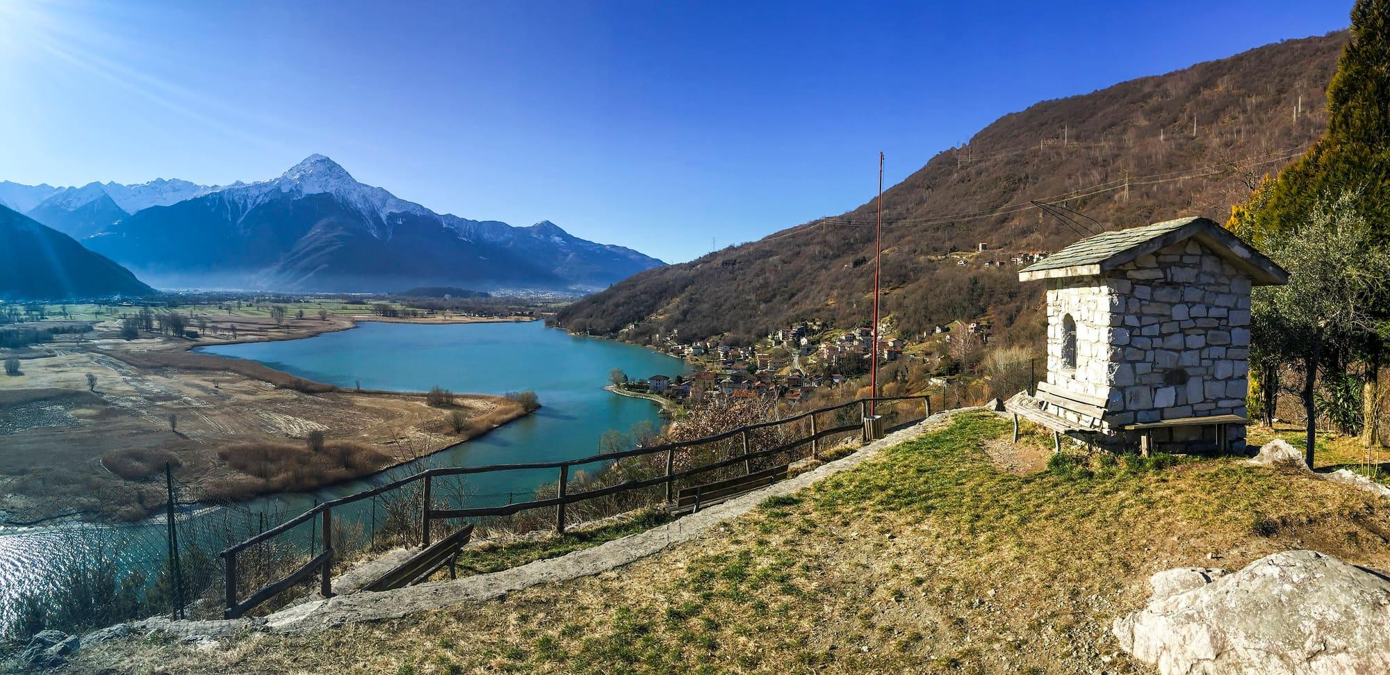
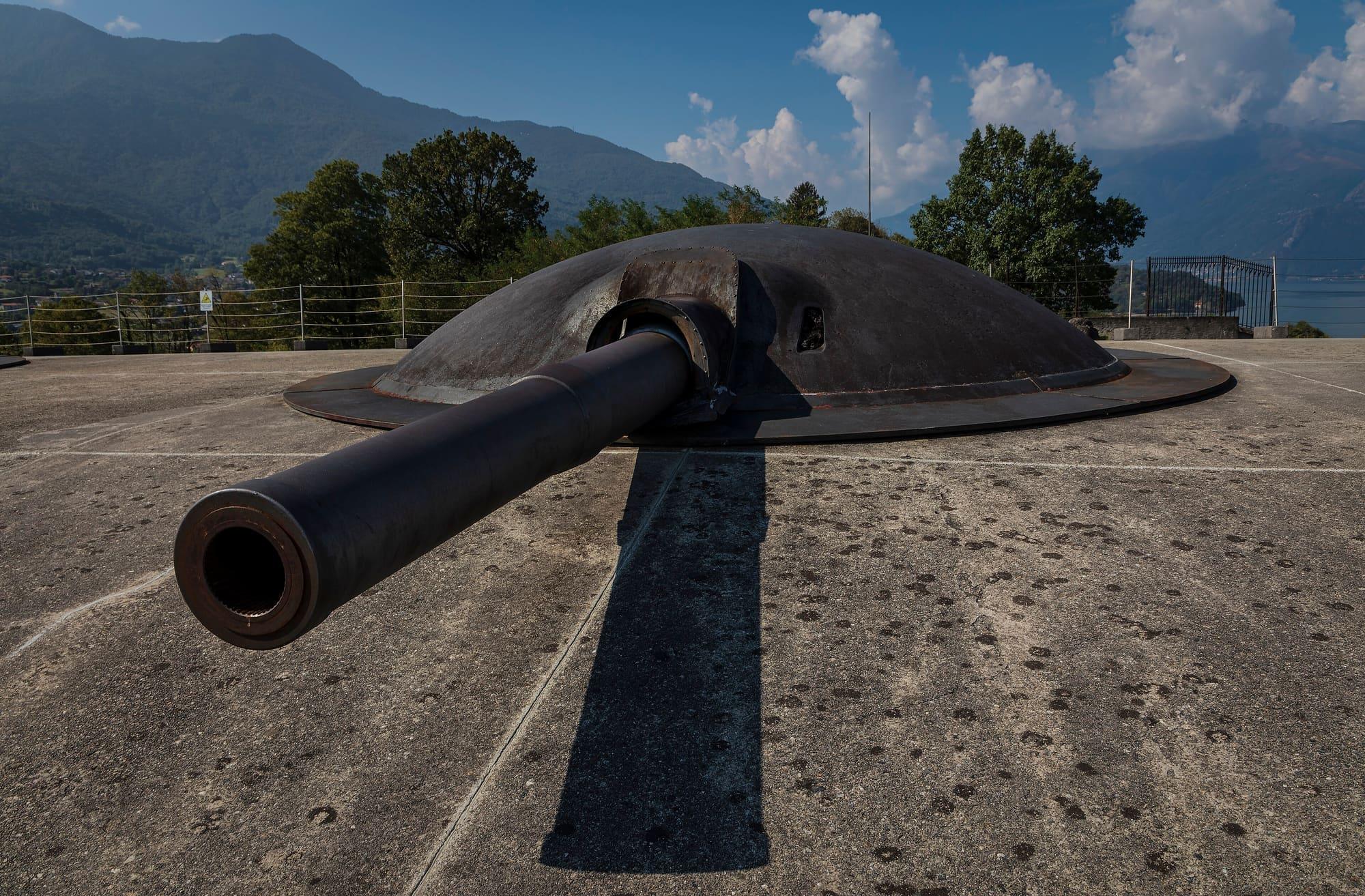
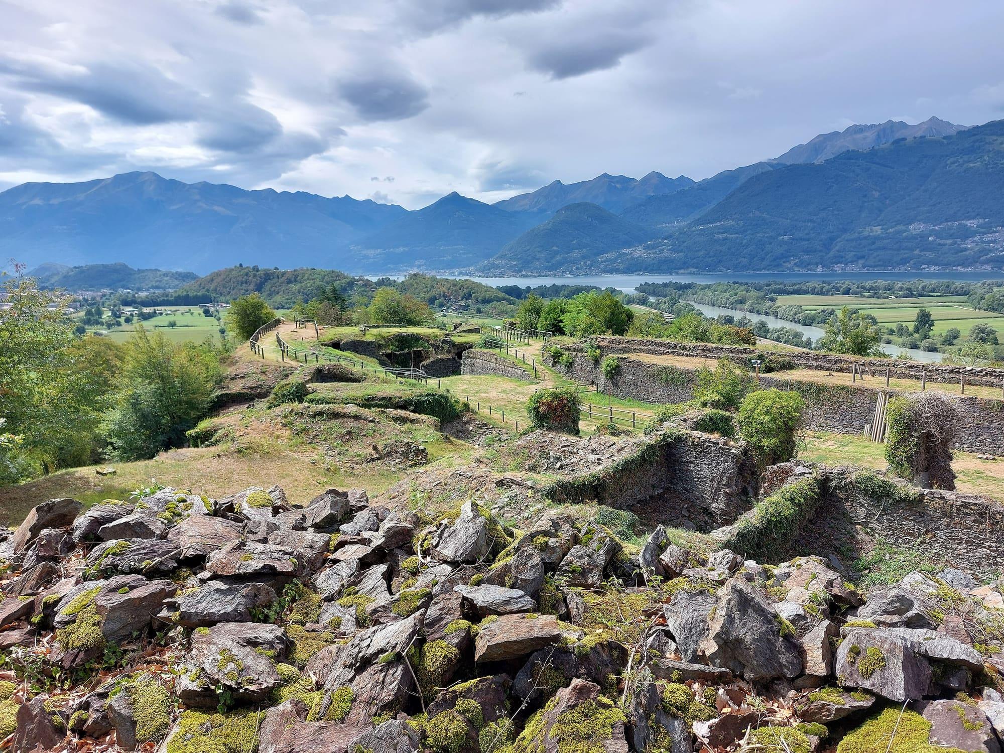
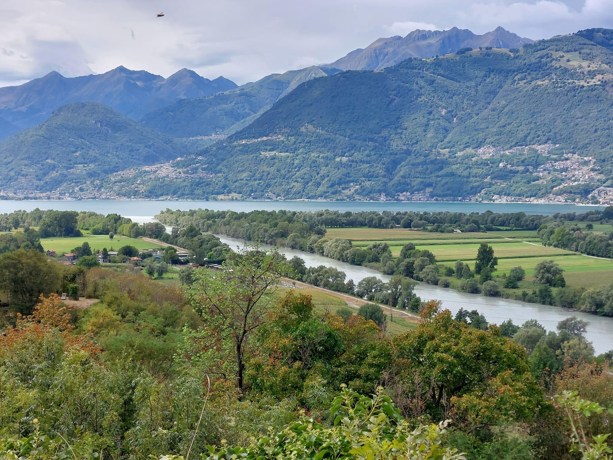
A nine-kilometre loop from Colico station around the Montecchi hills: the First World War Forte Montecchio Nord, the ruins of the Forte di Fuentes built by the Spanish in 1603, the Adda embankment down to its mouth and the little harbour.
The walk circles the Montecchi, the hills that close Colico's land towards the lake.
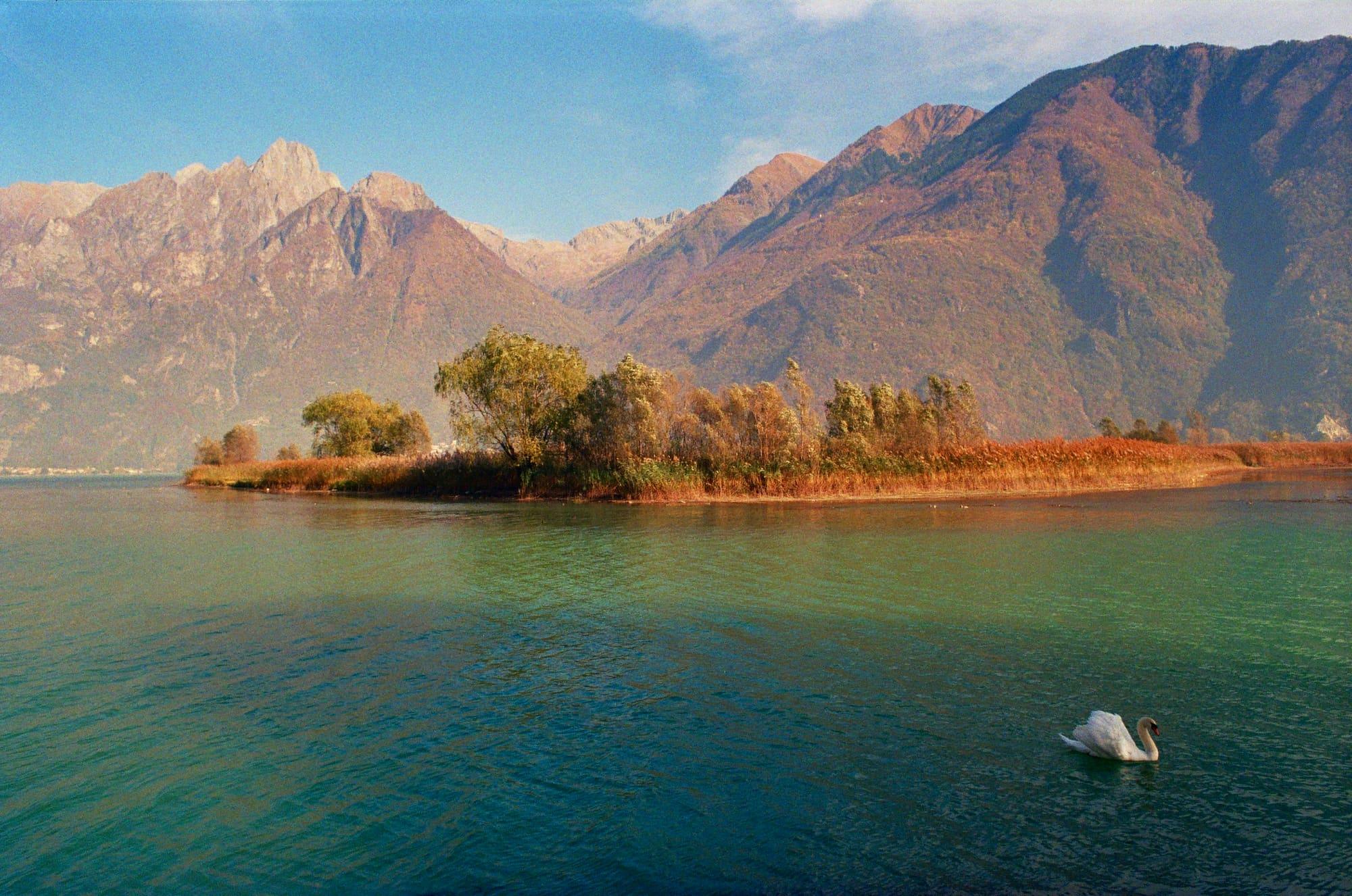
On the first stands the Forte Lusardi, that is Forte Montecchio Nord, a First World War fortress; on the second the ruins of the Forte di Fuentes, the stronghold the Spanish built in 1603 against the Grisons. From the station you take the underpass to Viale Padania and follow the CAI waymarks of the Sentiero dei forti: after a small bridge, with two twelfth-century towers on the left, the road climbs through the wood to the entrance of the first fort. Then you take a track towards Erbiola and pass a clearing and a cluster of houses; a path between dry-stone walls, vegetable plots and vines looks out on the first Montecchio and the Valtellina. Past the Borgofrancone canal and the Monteggiolo junction you go between the houses of the seventeenth-century hamlet and climb the road cut into the rock to the parade ground of the Fuentes. Between the church and the Governor's Palace the CAI path 9 resumes, going down to the Adda. The cycle and foot path along the river leads towards its mouth, rounds the Montecchio Nord and reaches the little harbour and Piazza Garibaldi, from which you return to the station.
WhereColico
© OpenStreetMap contributors · ODbL
Events within a few kilometres, on now or coming up.
21Nov
Christmas stalls on Piazza Garibaldi, by the lake, at weekends and on holidays until after Epiphany.
2Jul 2027
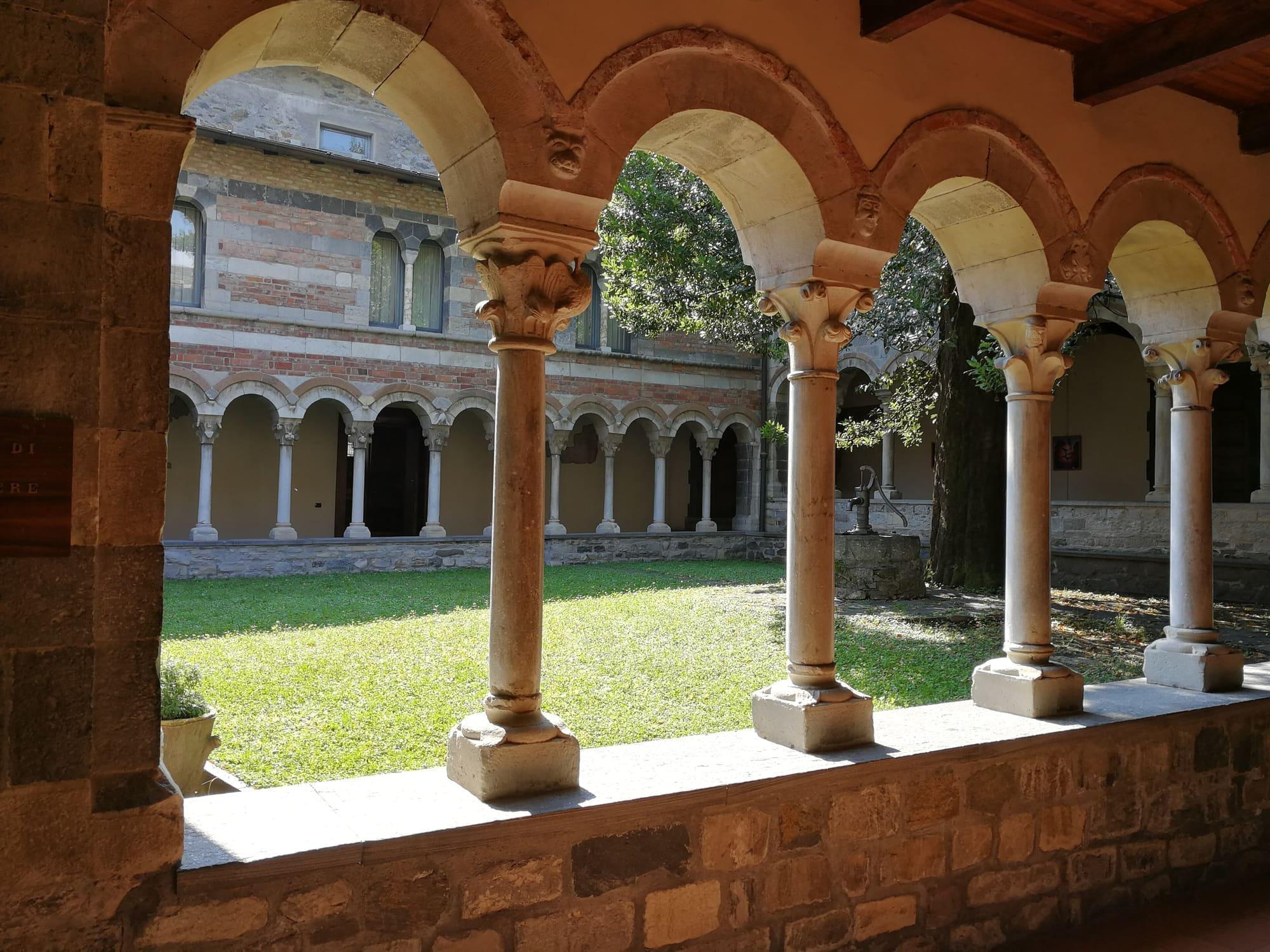
July concerts at Piona abbey and around the bay, at Colico.
5Sept 2027
The Alpini group's festa, first Sunday of September at San Rocco, Colico.