Orrido di Nesso
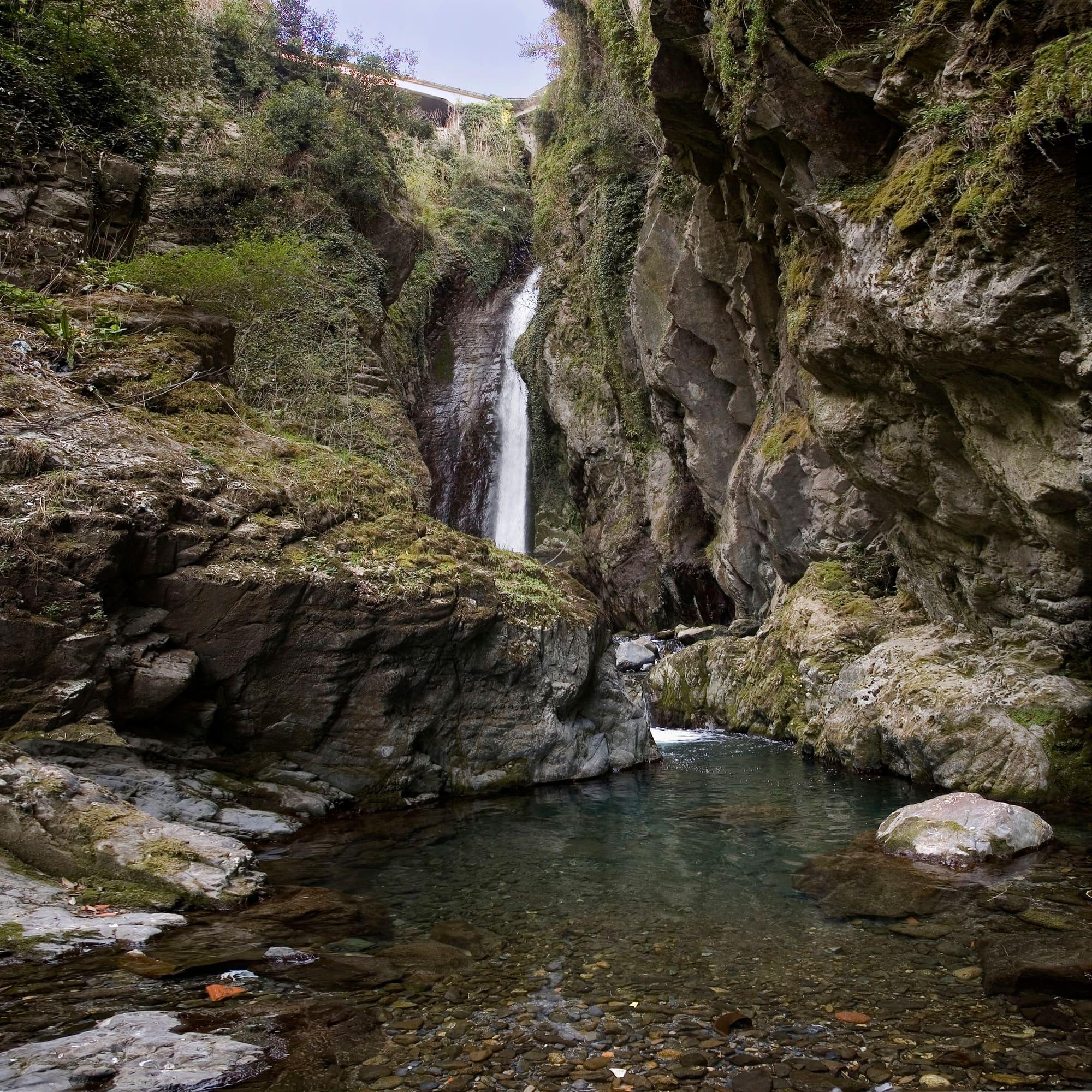
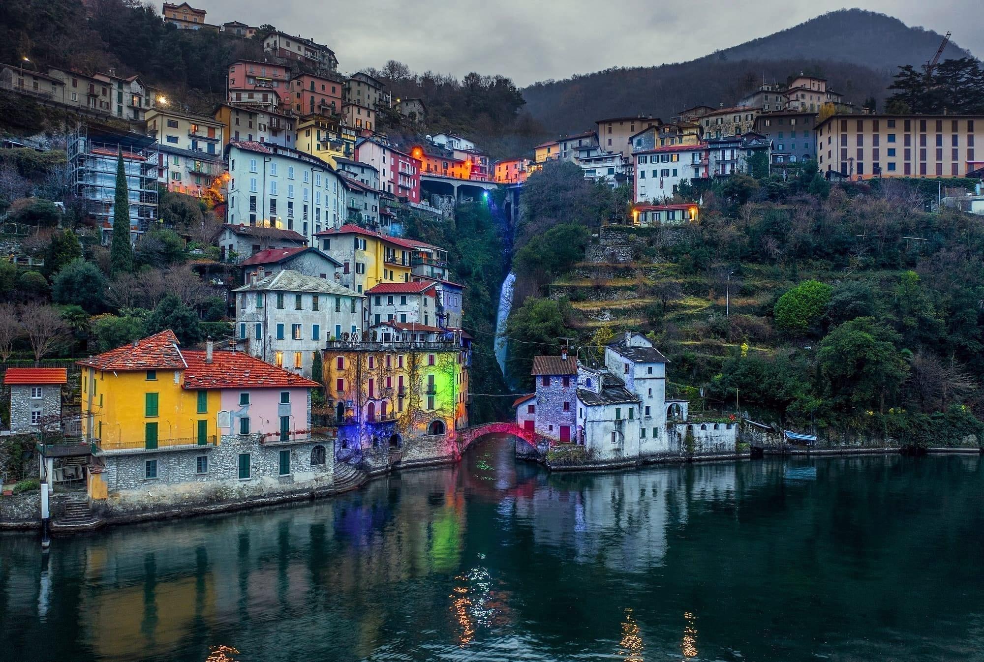
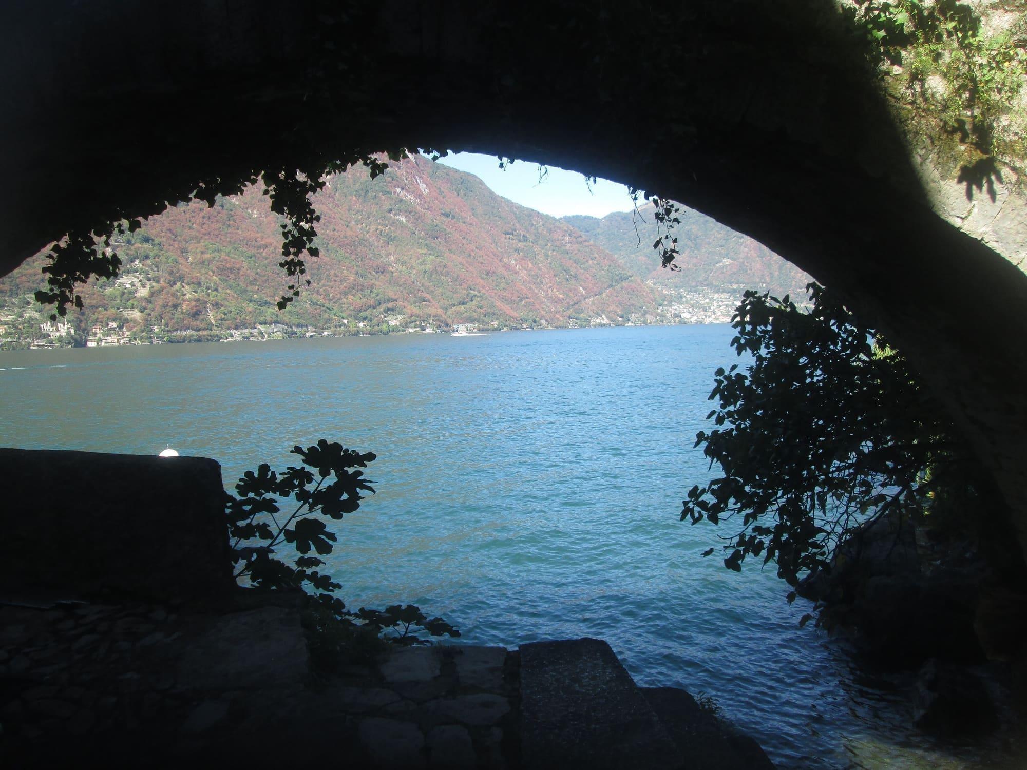
A waterfall entering the lake under a stone bridge, at the bottom of three hundred steps.
45 min – 1 h 30
The Triangle
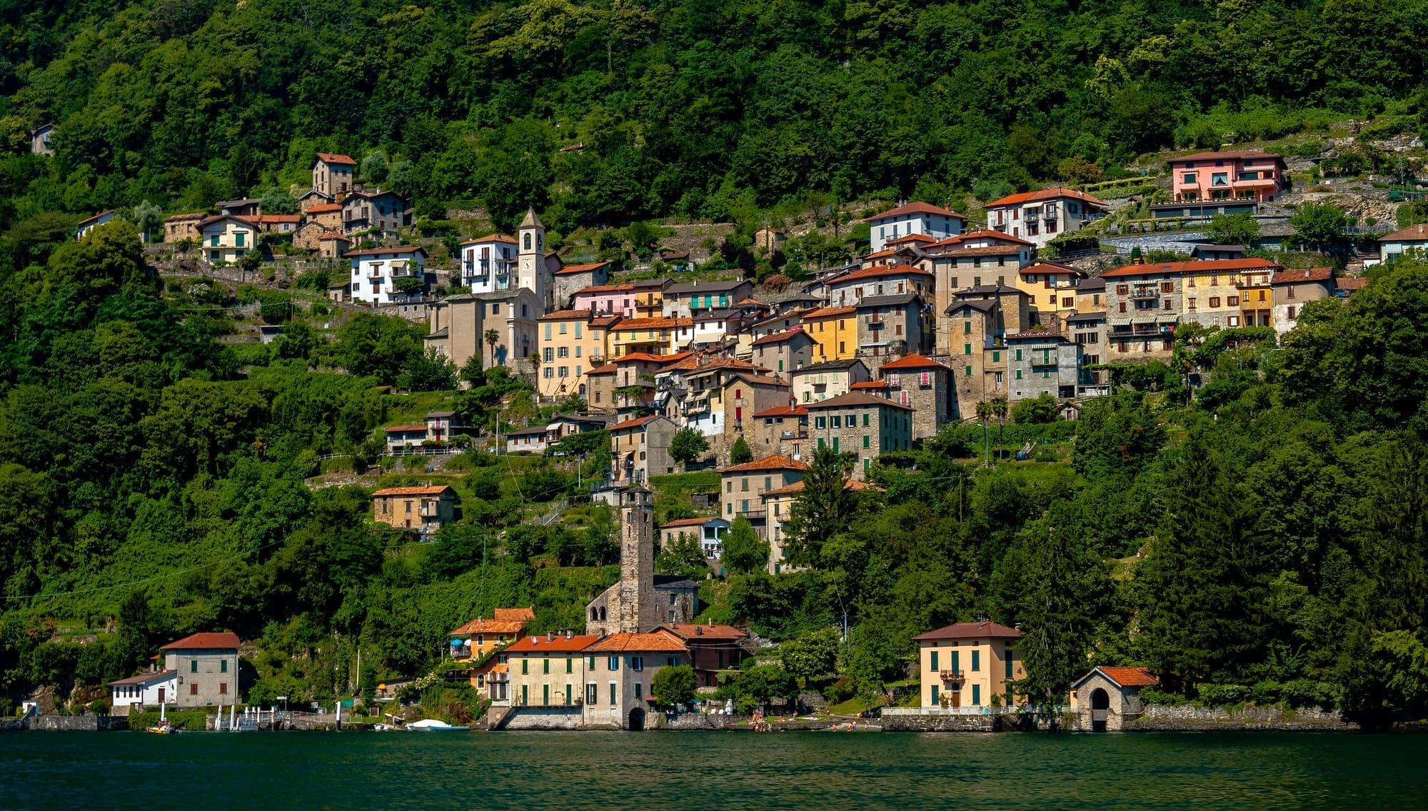
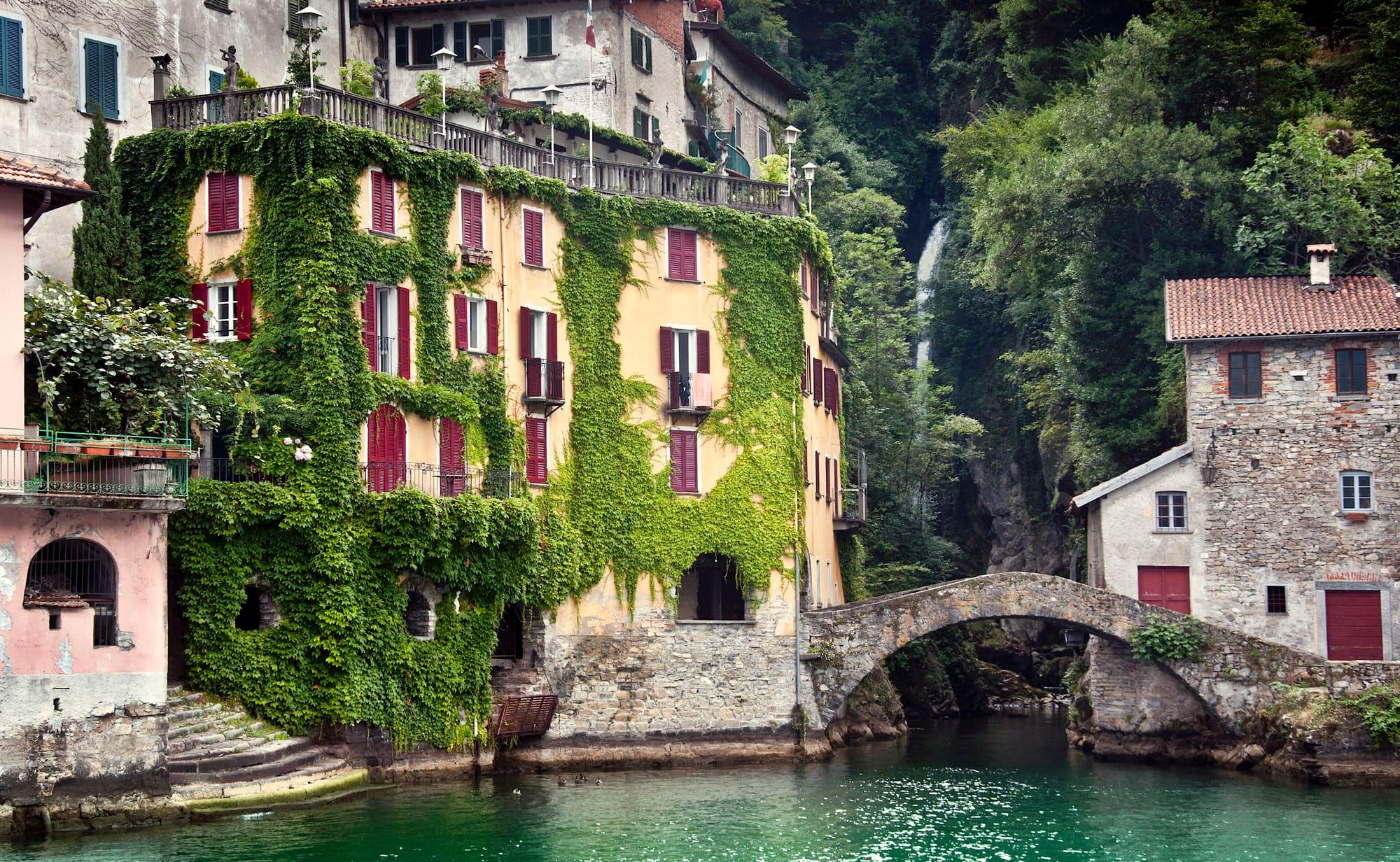
A village split in two by a waterfall, with a stone bridge where the water meets the lake.
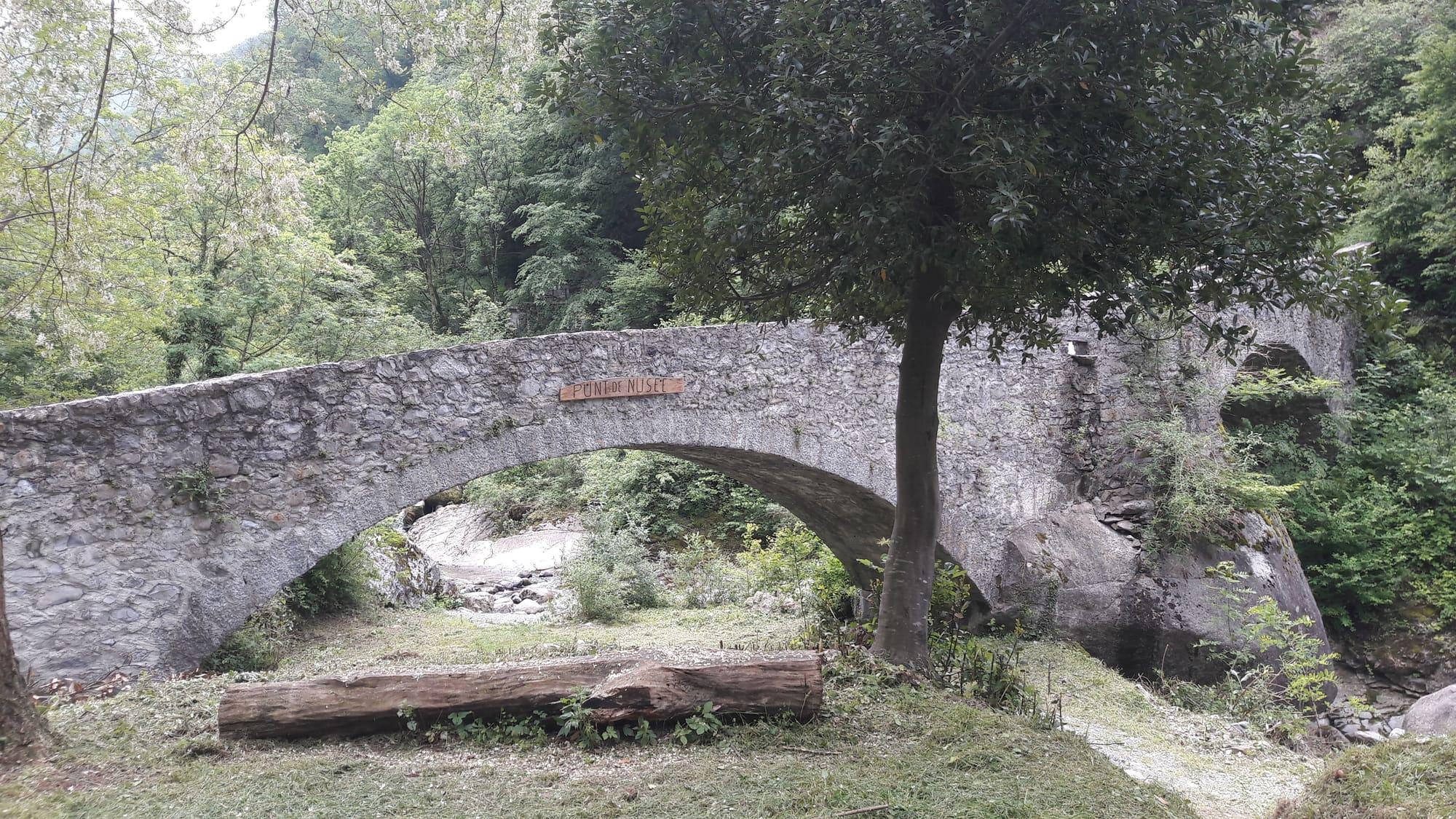
Nesso is built on both sides of a ravine: the Tuf and Nosè streams meet and plunge towards the lake, passing beneath the stone Ponte della Civera.
You can view the gorge from above at Piazza Castello; a stairway of about three hundred steps leads down between the houses to the bridge.
Nesso is built on both sides of a ravine: the Tuf and Nosè streams meet and plunge towards the lake, passing beneath the stone Ponte della Civera.
You can view the gorge from above at Piazza Castello; a stairway of about three hundred steps leads down between the houses to the bridge.
The orrido is the narrow, deep gorge that cuts the village in two. Here the Tuf and Nosée streams, coming down from the valleys of the same names, meet and plunge towards the lake: from the top of the waterfall to the shore the drop is about 200 metres. At the foot of the gorge the water passes under the Ponte della Civera, a single-arched stone bridge, and enters the lake beside a small harbour. The waterfall carries more water in spring.
From the centre of the village a steep stairway of about three hundred steps leads down to the bridge between the houses. There is no handrail along the whole way and the steps are slippery after rain: wear closed shoes. The stairway is not suitable for pushchairs. The Lariana road, narrow and full of bends, runs above the village. From Piazza Castello, on the road, the gorge can also be seen from above. The boat lands a few steps from the bridge.
“Nesso, a place where a river falls with great force through a vast cleft in the mountain.” — Leonardo da Vinci, Codex Atlanticus
Nesso is first named in 951, when Berengar II, King of Italy, granted the estates of the court of Nesso to the monastery of Santa Maria del Senatore in Pavia. In the Middle Ages the village was the head of a pieve, a district of churches and villages on both shores of the Como branch. By 1184 its church was already led by an archpriest.
In the Ten Years' War between Como and Milan (1118–1127) Nesso sided with Milan, and the people of Como destroyed its fortification. In 1449 they built a new castle here, in support of the Ambrosian Republic. It was destroyed in 1532, during the war against the Medeghino. Giambattista Bazzoni set his historical novel Falco della Rupe o la guerra di Musso, published in 1829, in these places.
In 1497 Ludovico il Moro gave Nesso, with its whole pieve, to Lucrezia Crivelli. From 1647 to 1787 the fief belonged to the Casnedi family.
For centuries the waterfall powered the village. Mills, paper mills, spinning mills and olive-oil presses worked along the gorge, all driven by the water, and Nesso became a village of workshops. In the Middle Ages the mills on the streams were used to make woollen cloth, which was exported. A document of 1468 records the sale of a house with two mills near the castle.
In the eighteenth and nineteenth centuries, when Lake Como drew travellers from abroad, many artists portrayed the gorge. Among their views is an aquatint by Federico and Carolina Lose.
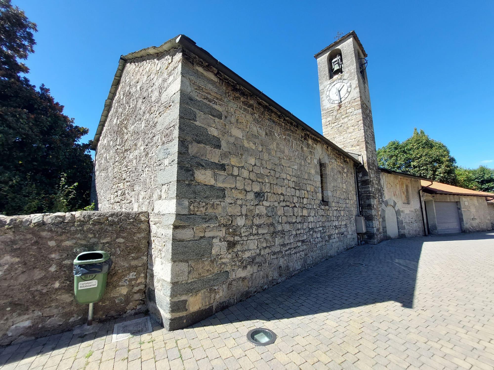
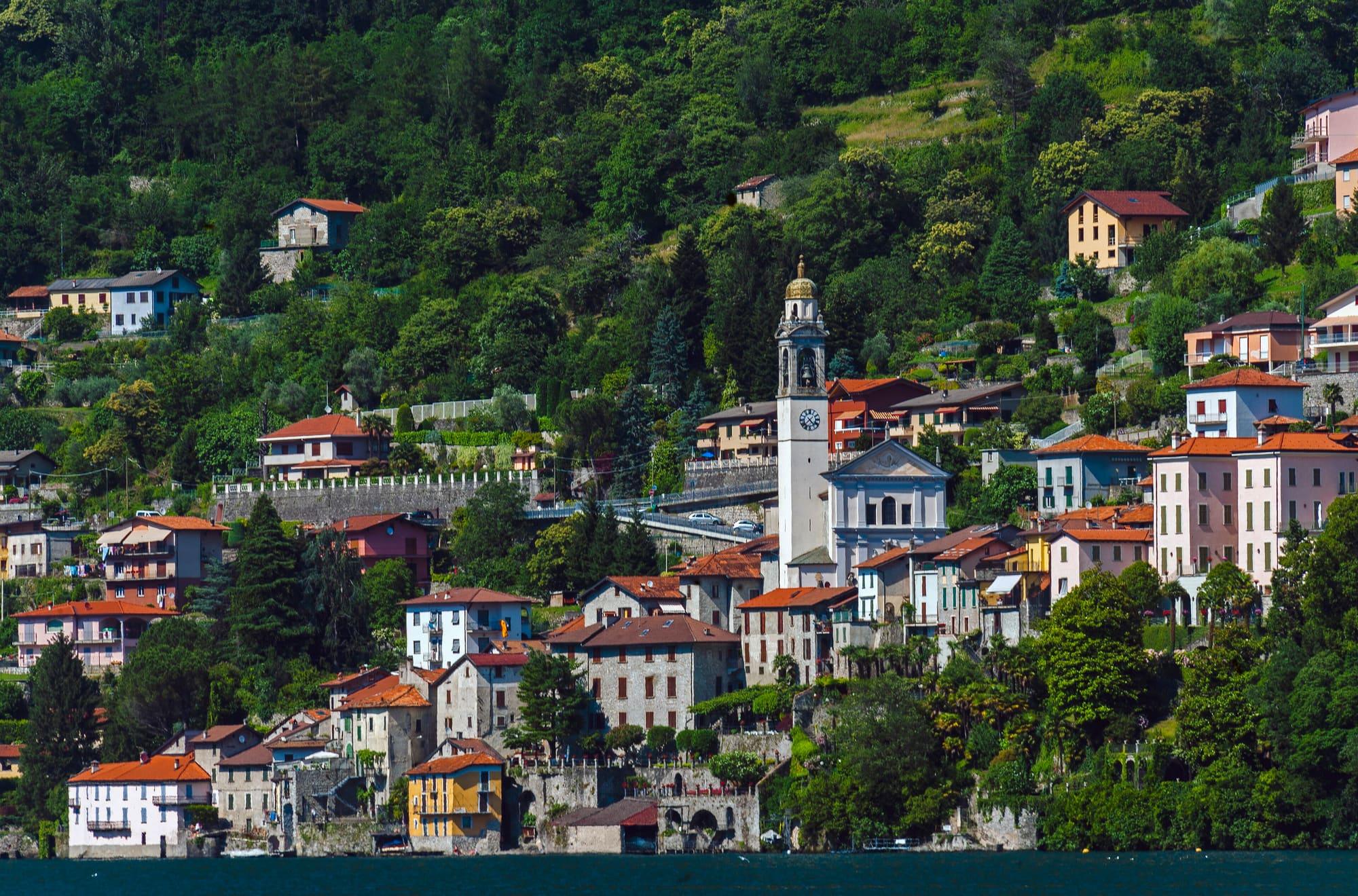
Near the lake, in the lower part of the village, stands the church of Santi Pietro e Paolo, the old church of the pieve, which the village calls the duomo. Tradition holds that Bishop Rainaldo of Como founded it in the eleventh century and that Pope Urban II consecrated it in 1095. The bell tower dates from 1538. From 1632 the church was rebuilt in Baroque style, and the chapel of Saint Joseph has frescoes attributed to Carlo Innocenzo Carloni.
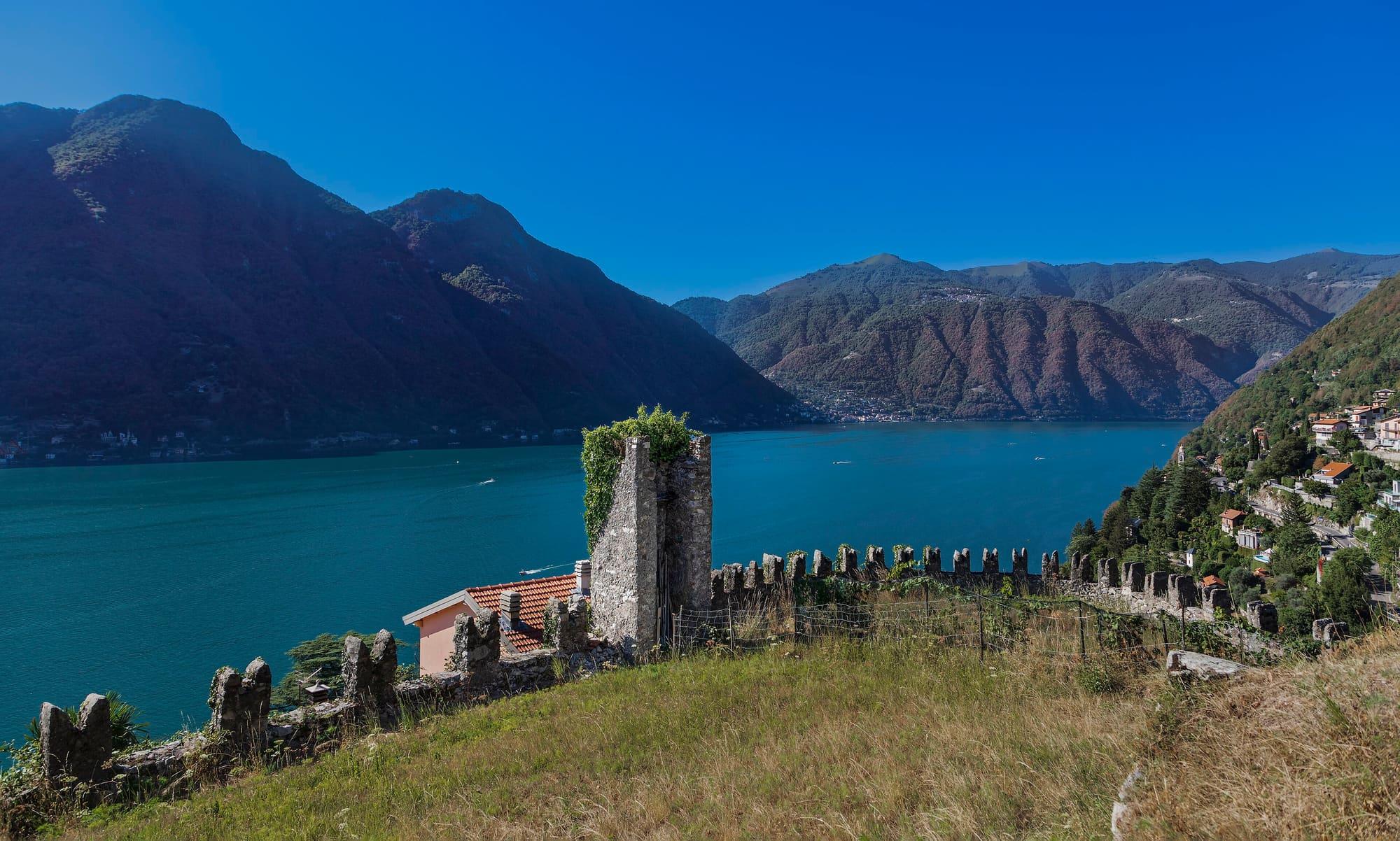
In the Vico hamlet, on the road to Zelbio, the Romanesque church of Santa Maria, already recorded in 1184, keeps paintings made between 1287 and 1312 and the polyptych of the Assumption, painted by Bartolomeo de Benzi in 1500. Above the gorge, in the Castello hamlet, the great wall of the 1449 castle survives, with merlons added in the nineteenth century. The castle is private and can only be seen from outside. Beside it stands the church of San Lorenzo, which in its present form dates from the sixteenth century.
A little further south lies Careno, a comune of its own until 1928, when it was joined to Nesso. Its old core has not a single street for cars: flights of steps lead down to the Romanesque church of San Martino, almost at water level, already recorded in 1184. It was the parish church until the mid-seventeenth century, when the village built the church of Santa Maria Assunta, founded in 1665 and consecrated in 1671. Nesso and Careno fit into the same day.
The Strada Regia runs through Nesso: the paved mule track that climbs the eastern shore of the Como branch from Brunate to Bellagio. Southwards it leads to Pognana, northwards to Lezzeno. Paths of the Lariano Triangle also climb from the village and reach high ground in a couple of hours. At Nosée, on the road to Tronno, the stream of the gorge gathers in a pool beneath a two-arched stone bridge.
How long it takes
Typical door-to-door times by public transport, changes included. From Milan, counted from Centrale station.
Parking and services
26 drinking fountains1 pharmacy3 cash machines1 defibrillator
Car parks and services on the map
Within two and a half kilometres of the centre; check car park spaces and fees on arrival.
Updated 26 October 2026
From the Lariana road in the village, a stairway of about three hundred steps leads down between the houses to the Ponte della Civera, where the waterfall enters the lake. The route is steep and the climb back takes time: wear closed shoes. The steps can be slippery in rain.
Yes, below the bridge, where the stream meets the lake, there is a small pebble beach. The water is cold even in summer because it comes from the waterfall, and there are no facilities.
The mountains around the village hide the sun before astronomical sunset: sunrise and sunset are worked out on the village's own horizon.
Today, 1 November, estimated sunlight at the reference point: first at 08:25 and last at 15:30, giving 7 h 06 of direct sun, out of 10 h 06 of daylight.
Today the sun arrives between 08:25 and 09:55 and leaves between 15:16 and 15:32, depending on the street.
Watch the shadow reach Nesso today
See from Nesso where the sun goes, in 3D
The sun at an exact spot in Nesso: your hotel, a beach, a street
The highest summit in view from here is Cima della Duaria, 1446 m, 8 kilometres away.
The ochre line follows today's sun path and marks the estimated times of its first and last appearance above the mountains. Drag the panorama to see all of it.
Official bathing sites nearby, with their water quality classifications.
A few sailings a day, and not in every season: check the timetable. Simpler is the C130 Como–Bellagio bus, which stops on the Lariana road above the village, at Piazza Castello, about thirty-five minutes from Como. The bridge can also be seen from a passing boat.
The market takes place in Via Pietro Binda.
What is around, and how far.
© OpenStreetMap contributors · ODbL
Typical door-to-door times.
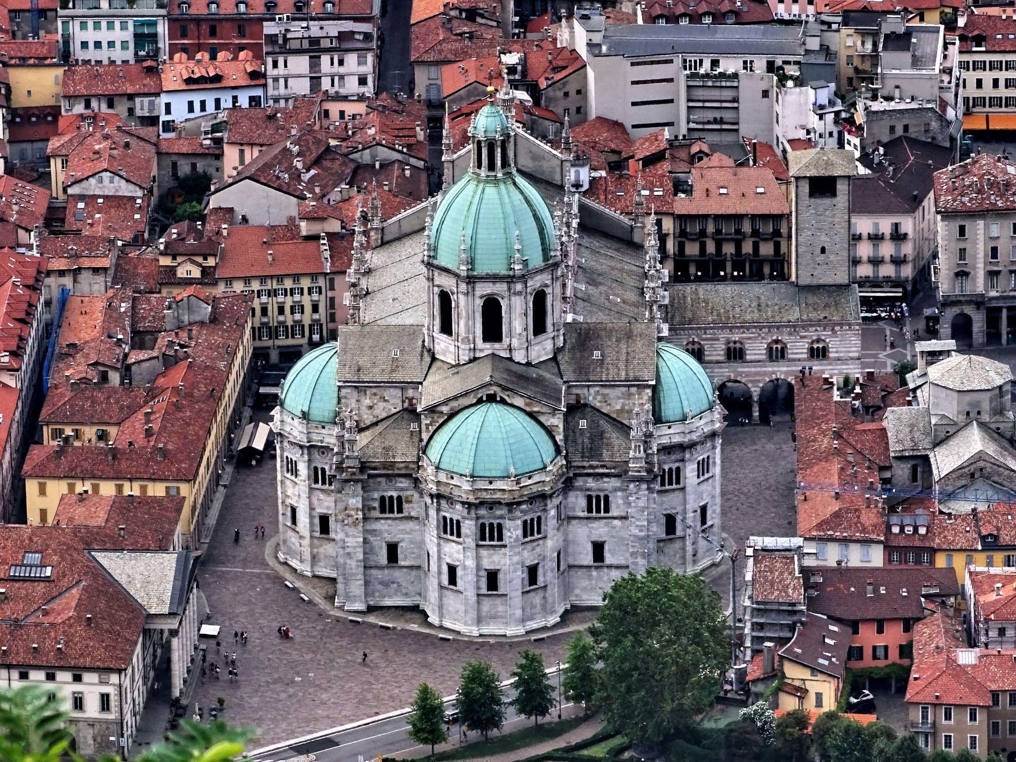
The city of silk and rationalist architecture, with the lake reaching right into the centre.
35 min
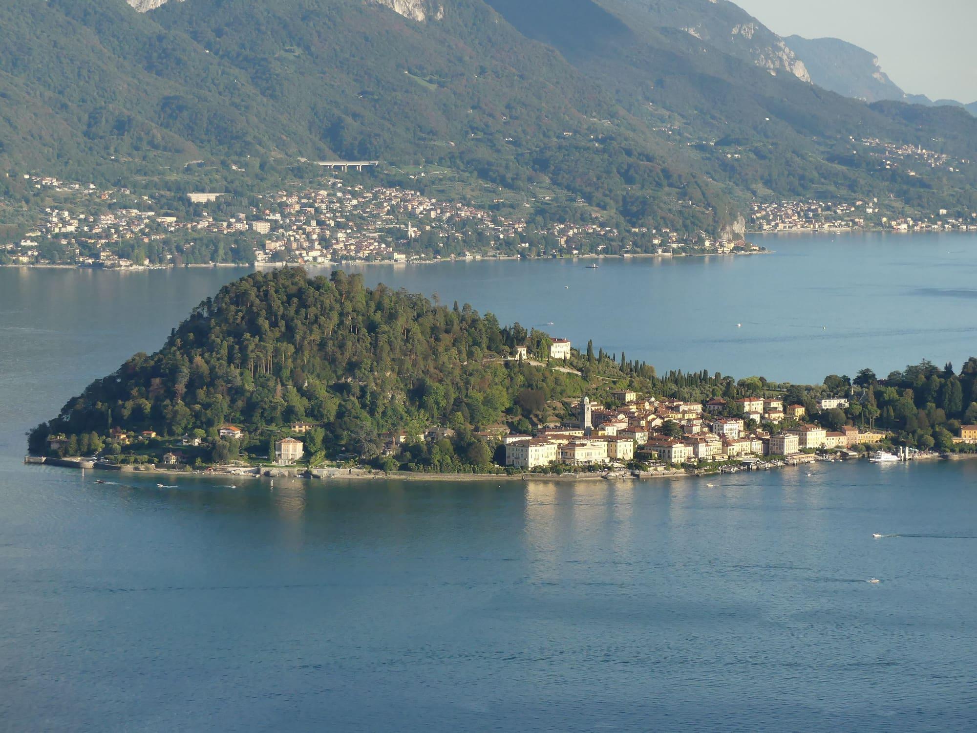
On the point that splits the lake in two, with staircases instead of streets.
30 min
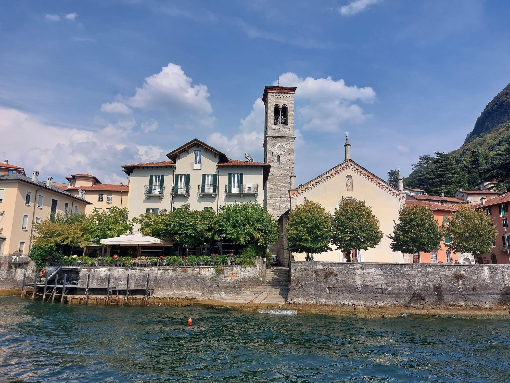
Two small harbours, the church of San Giovanni with its Romanesque bell tower, and Villa Pliniana just outside the village.
15 min