


6Feb 2027
Val d'Intelvi
Lanzo d'Intelvi
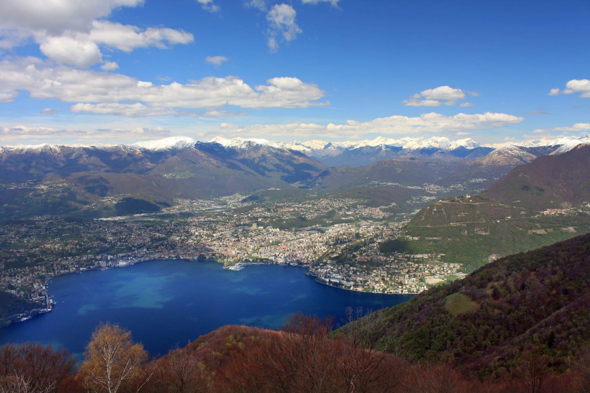
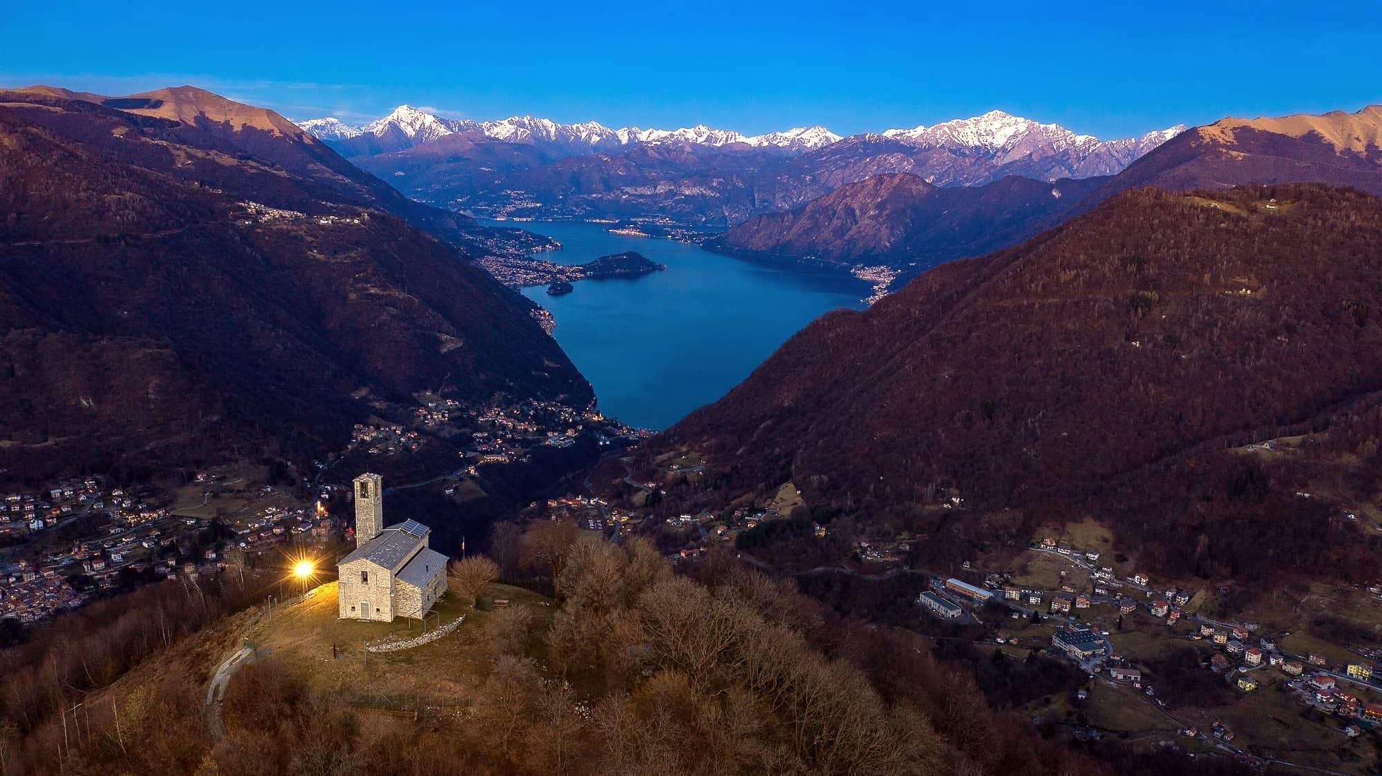
A 1,300-metre belvedere facing Lake Lugano, with Monte Rosa behind it.
- Ideal for
- Views, easy walking, an upland valley
- Time needed
- Half a day; 1–2 nights for the valley
- Best season
- May–October; the Sighignola road can close in winter
- What to see
- The Sighignola belvedere at sunset
- Best reached by
- Car from Argegno (30 min); infrequent valley buses
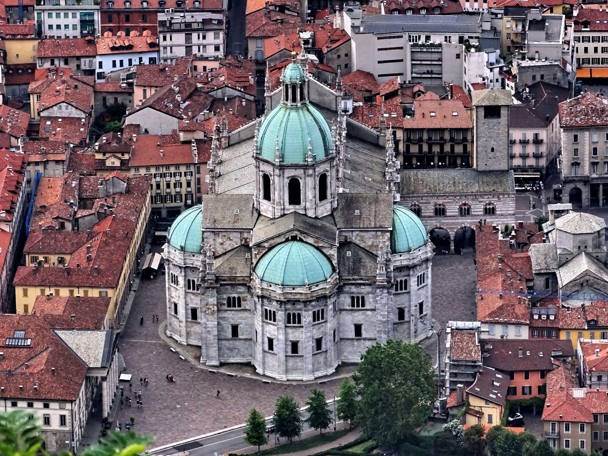
- Carlosilva1951 · CC BY-SA 4.0
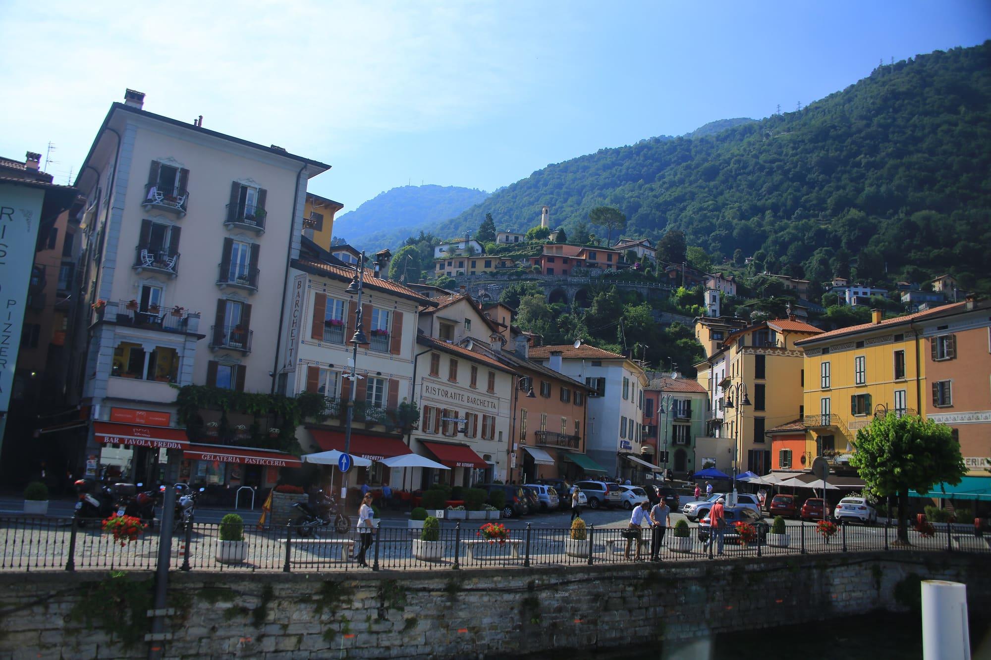
- Aniello Bizzoco · CC BY-SA 4.0
The place
Lanzo is the main village of the Val d'Intelvi, at 900 metres, with beech woods, an old golf course, and the road climbing to the Sighignola — the 'balcony of Italy', a terrace at 1,302 metres looking straight down on Lugano and, on clear days, along the whole chain from Monte Rosa to the Bernina. It was a summer resort for the Milanese middle class.
Lanzo is the main village of the Val d'Intelvi, at 900 metres, with beech woods, an old golf course, and the road climbing to the Sighignola — the 'balcony of Italy', a terrace at 1,302 metres looking straight down on Lugano and, on clear days, along the whole chain from Monte Rosa to the Bernina. It was a summer resort for the Milanese middle class.
Read on
A summer resort
Lanzo lies at 907 metres on the upland of the upper Val d'Intelvi, among beech woods and pasture, a few kilometres from the Swiss border. From the early twentieth century well-to-do Milanese families made it a summer resort. In 1907 a funicular opened, climbing here from Santa Margherita di Valsolda on Lake Lugano. It was about a kilometre and a half long, rose some six hundred metres and, together with the boat, linked the village to Lugano. It ran until 1977.
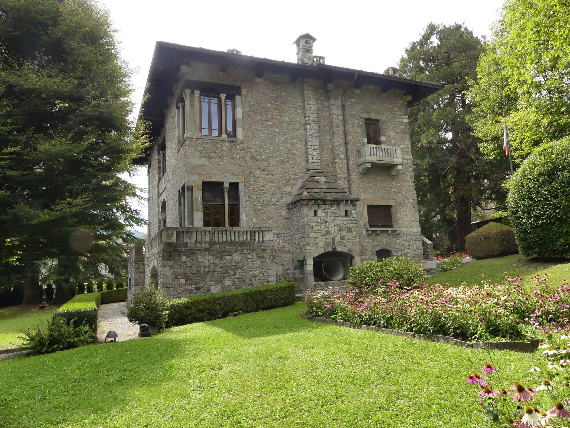
The villas of those years remain. Giuseppe Sommaruga designed Villa Poletti, built between 1913 and 1915 with wrought iron by Alessandro Mazzucotelli, and Villa Cirla, of 1915–1917; both are private. Villa Turconi, built between 1918 and 1923, looks like a stone manor house; it belongs to the comune and hosts exhibitions. Antonio Fogazzaro set part of his novel “Il mistero del poeta”, published in 1888, in Lanzo.
San Siro and the Madonna di Loreto
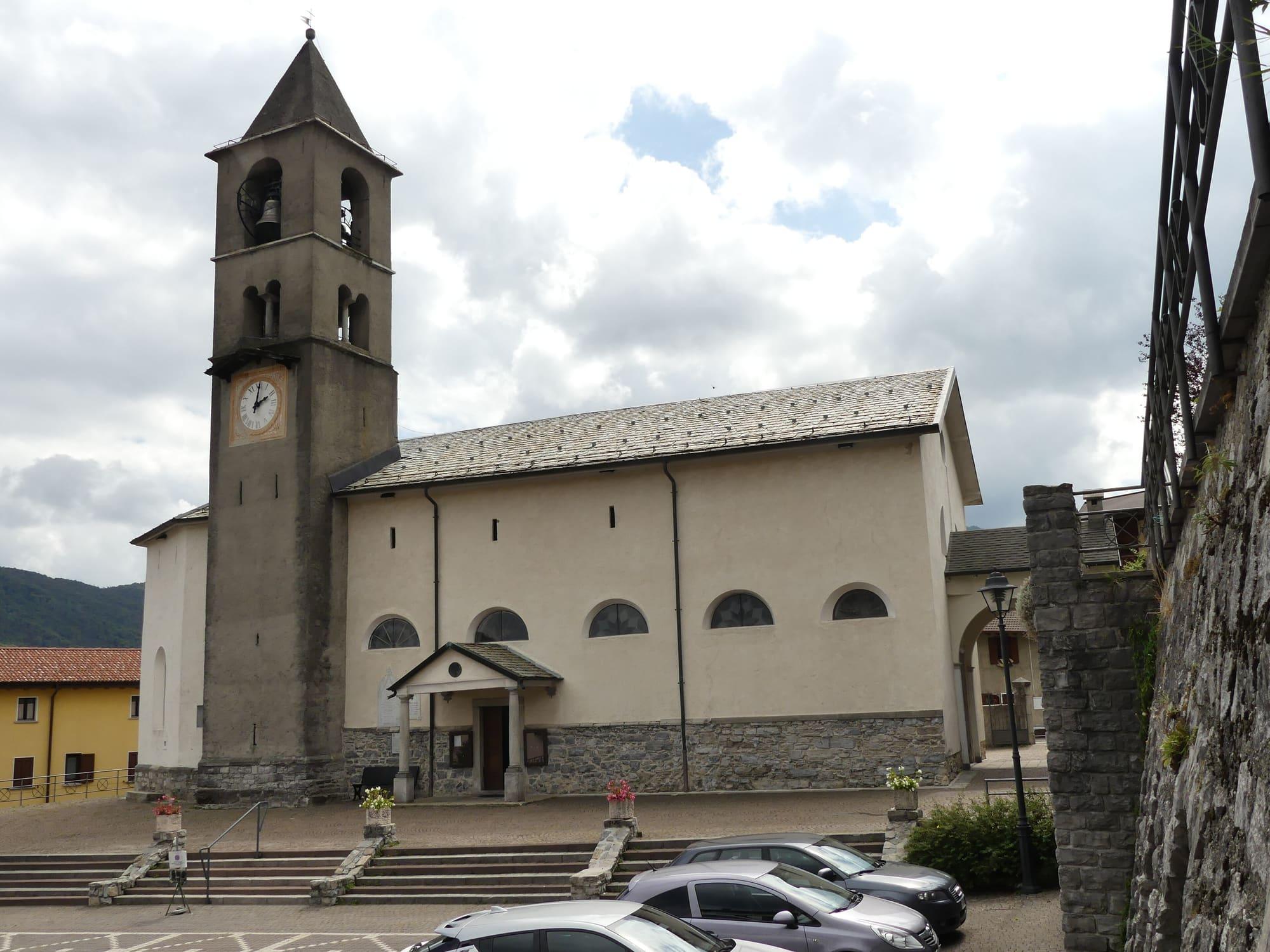
San Siro, the church of the patron saint, has a Romanesque bell tower from the early eleventh century with four two-light windows, each divided in two by a small column. In 1474 the Bishop of Como, Branda Castiglioni, made it a parish church, and from 1476 it was rebuilt; the work was finished in the sixteenth century. Inside are Lombard frescoes of the early sixteenth century, close to the style of Sigismondo De Magistris, with the four Doctors of the Church, the Last Supper and the Evangelists.
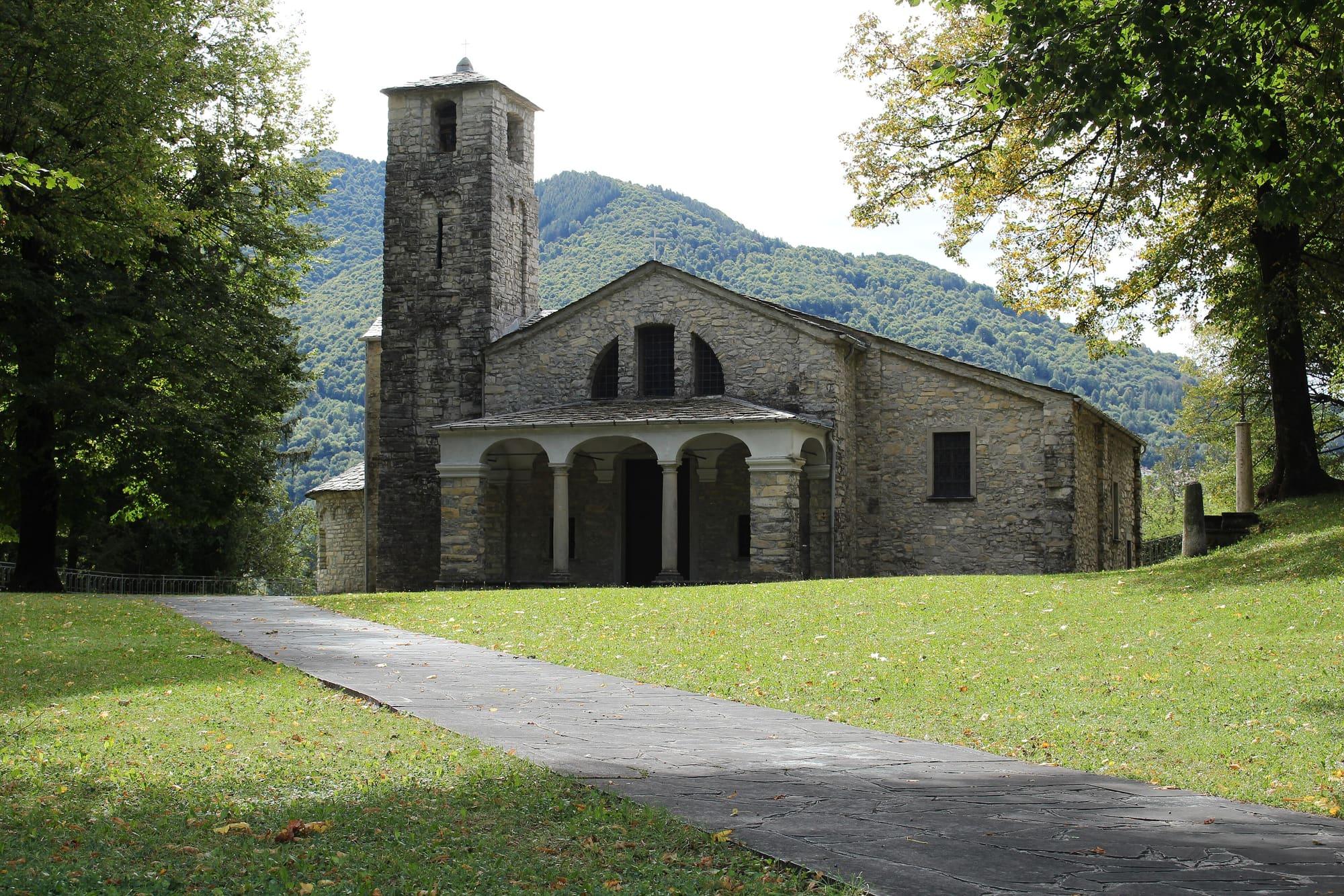
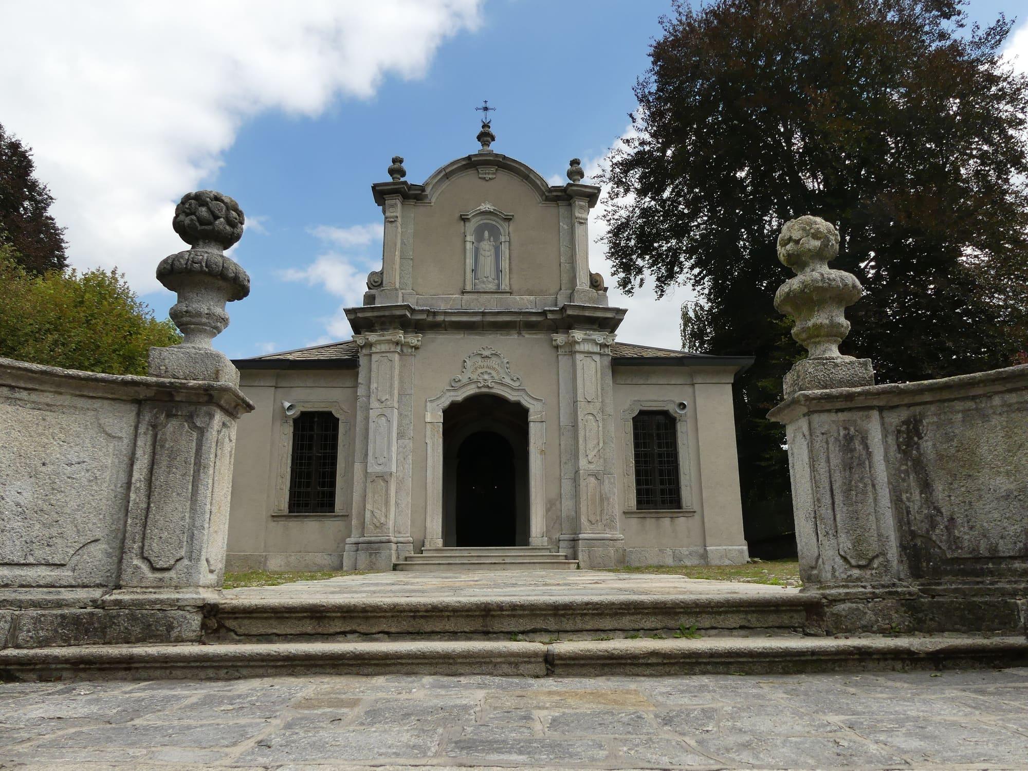
A few hundred metres away, the sanctuary of the Madonna di Loreto began in the second half of the sixteenth century as a copy of the Holy House of Loreto. Pietro Spazzi of Laino enlarged it in 1673, and the portico was frescoed by the school of Carlo Innocenzo Carloni. Every year, on the last Saturday of January, the statue of the Black Madonna is put on display, and on the Sunday the Alpini carry it in procession through the village.
The masters of the valley
For centuries the Val d'Intelvi sent its men to work far away. From 1157 the maestri antelami, builders from the valley, are recorded in Genoa. Between the sixteenth and eighteenth centuries the maestri intelvesi, architects, sculptors, stuccoists and painters, worked all over Europe. Craftsmen left too, shoemakers, tailors and carpenters, and many went to nearby Italian-speaking Switzerland.
Scaria, just below Lanzo, is the home village of the Carloni, or Carlone. Carlo Antonio Carlone, who was born here around 1635 and died in Passau in 1708, directed the Baroque rebuilding of the abbey of St Florian in Austria from 1686. Diego Francesco Carloni (1674–1750) worked on the stucco of Ludwigsburg Palace in Germany. His brother Carlo Innocenzo (1686–1775) painted in Ludwigsburg, Passau, Linz, Breslau, Prague and Vienna, where he frescoed the ceilings of the Upper Belvedere.
Scaria and its churches
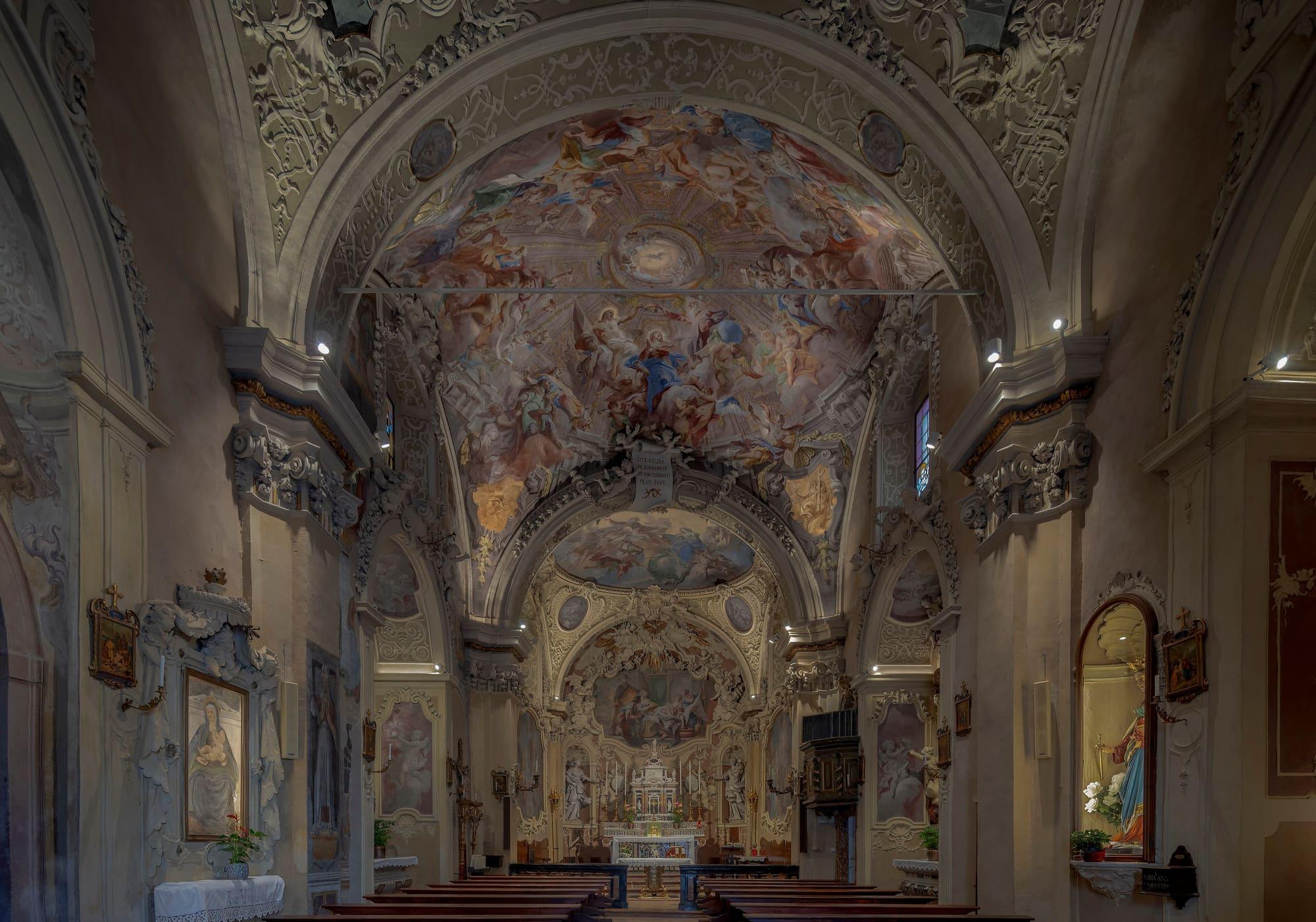
Scaria was a comune of its own until 1928, when it was joined to Lanzo. Between 1711 and 1753 the brothers Diego Francesco and Carlo Innocenzo Carloni remade the church of Santa Maria in their home village: Diego did the stucco and the statues, Carlo Innocenzo the frescoes and the altarpieces. On the pulpit of 1781 is a corncob, the Carloni emblem: in dialect a corncob is called a carlòn.
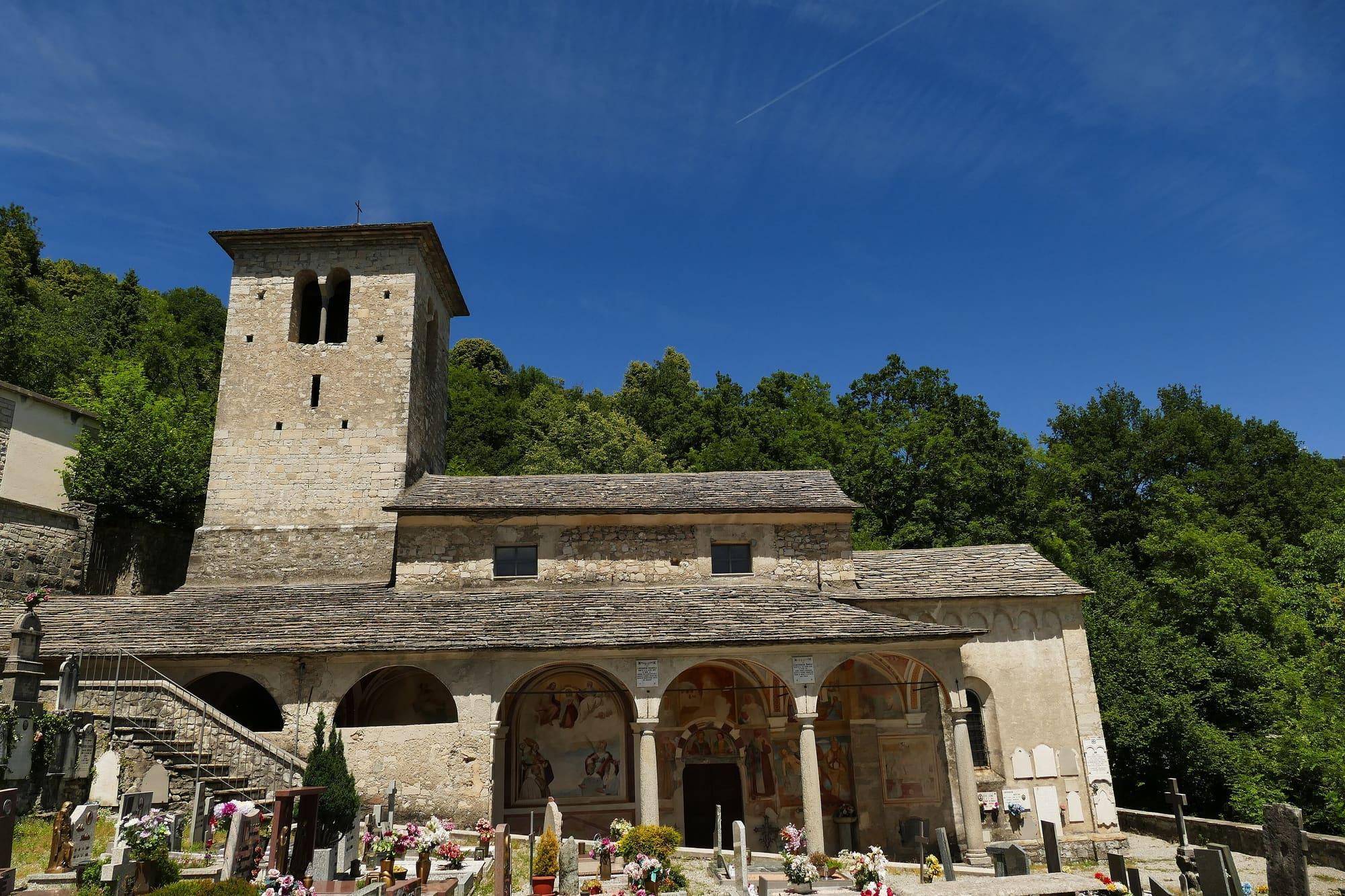
Next to the church, the Museo d'Arte Sacra della Valle Intelvi, founded in 1966, has a section devoted to Ercole Ferrata, the sculptor from Pellio who became one of Bernini's chief assistants in Rome. It also keeps the Paradisin, the display made in 1752 for the Forty Hours devotion. The church of Santi Nazaro e Celso, probably of eleventh-century Romanesque origin, preserves chancel frescoes of 1516 and nave frescoes of 1588; the Carloni brothers were buried in the cemetery beside it.
The Sighignola and the surroundings
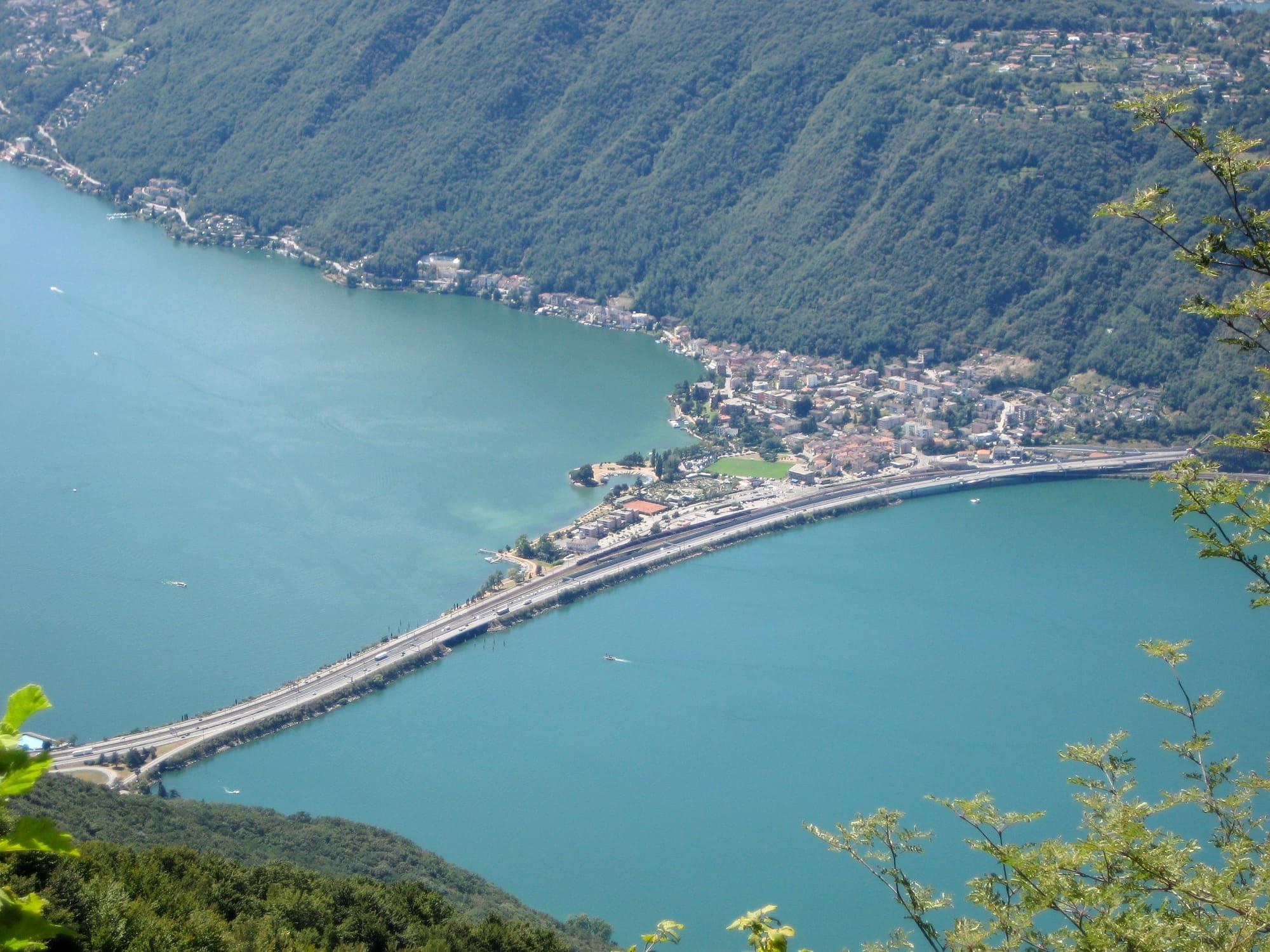
From Lanzo a six-kilometre road climbs to the Sighignola, at 1,302 metres. The road and the viewpoint were opened in 1913 on the initiative of the Touring Club Italiano. The terrace stands on the Swiss border and looks straight down on Lake Lugano. At the end of the 1960s work began on a cable car up from Campione d'Italia, which was never finished. A second terrace opened in 2012 where its top station stood.
Around the village there are easy paths through the woods and pastures. In winter the Sighignola road can be icy or closed by snow, so anyone driving up in those months checks first. At Ramponio, a few kilometres away, the sanctuary of San Pancrazio keeps the bell tower and apse of an eleventh-century Romanesque oratory.
Events
See allThings to see
Experiences
Val d'Intelvi
The balconies of the Val d'Intelvi
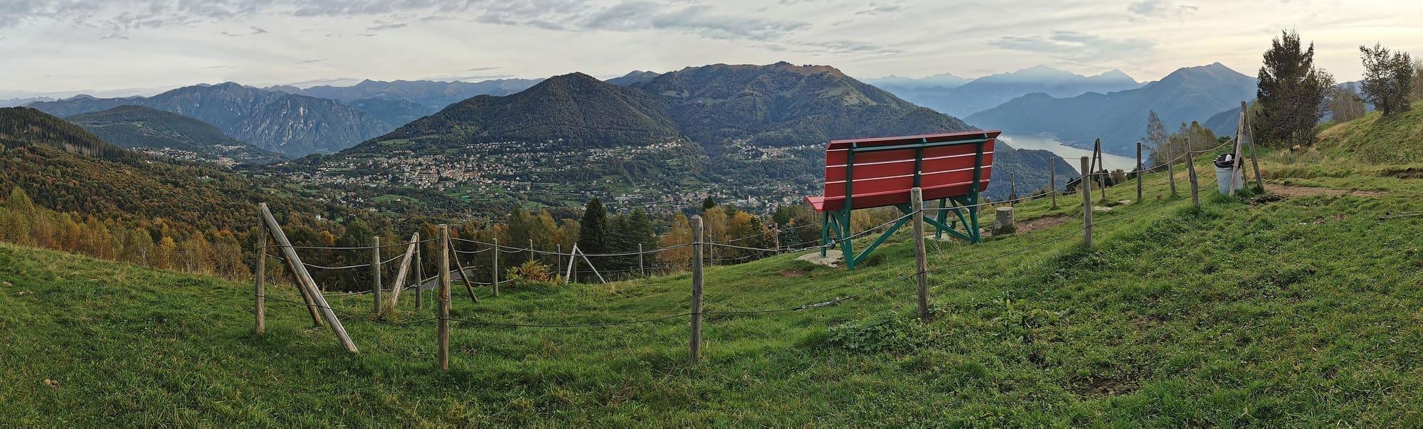
From Argegno to Pigra in six minutes by cable car, more than six hundred and fifty metres above the lake.
3 h – 6 h5.7 km · +9 m
Centro Lago
The lake markets
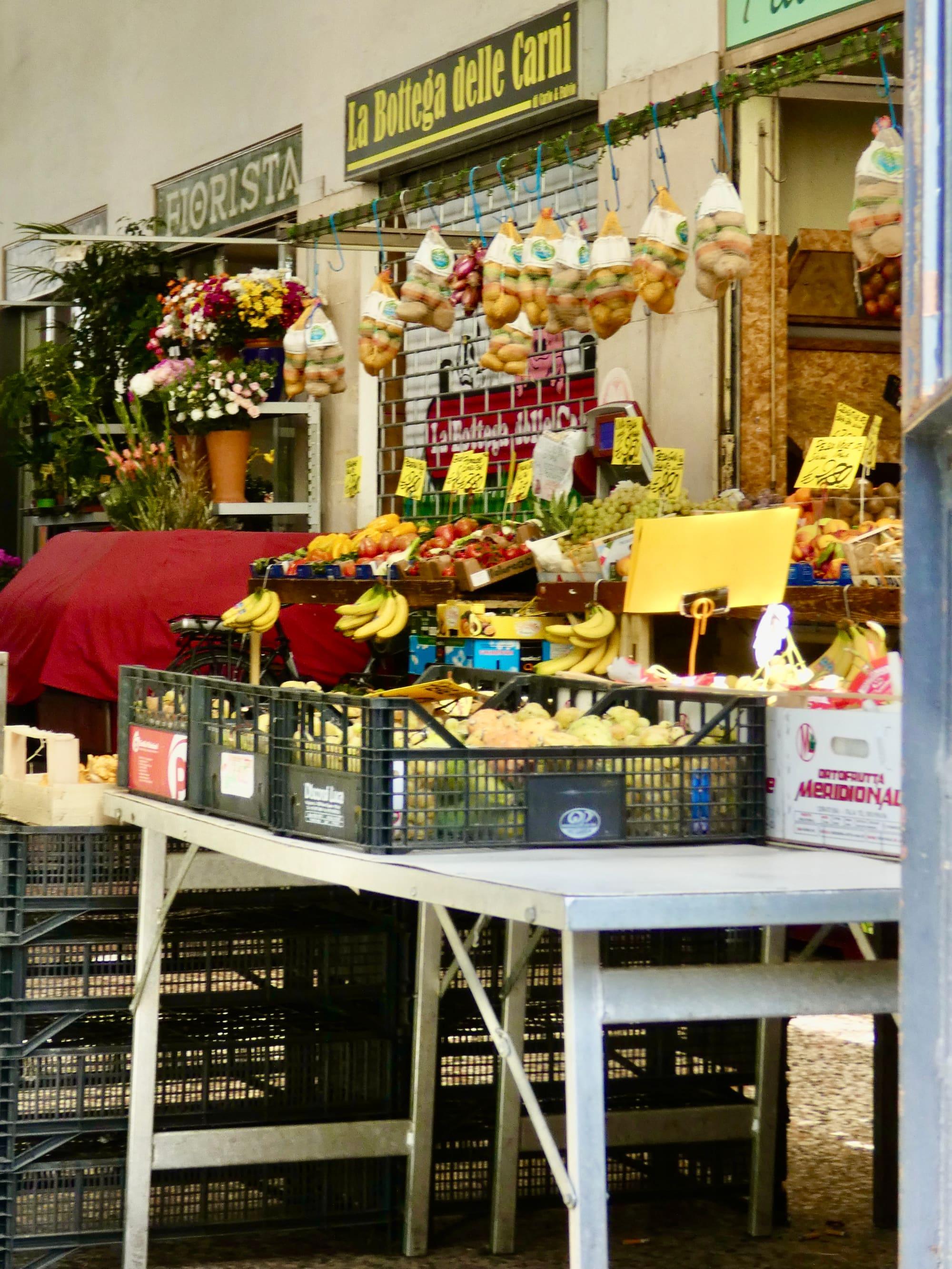
The weekly markets of Como, Lecco and the lake villages: days and squares.
1 h – 2 h 30Open access
Val d'Intelvi
The mule track to Erbonne
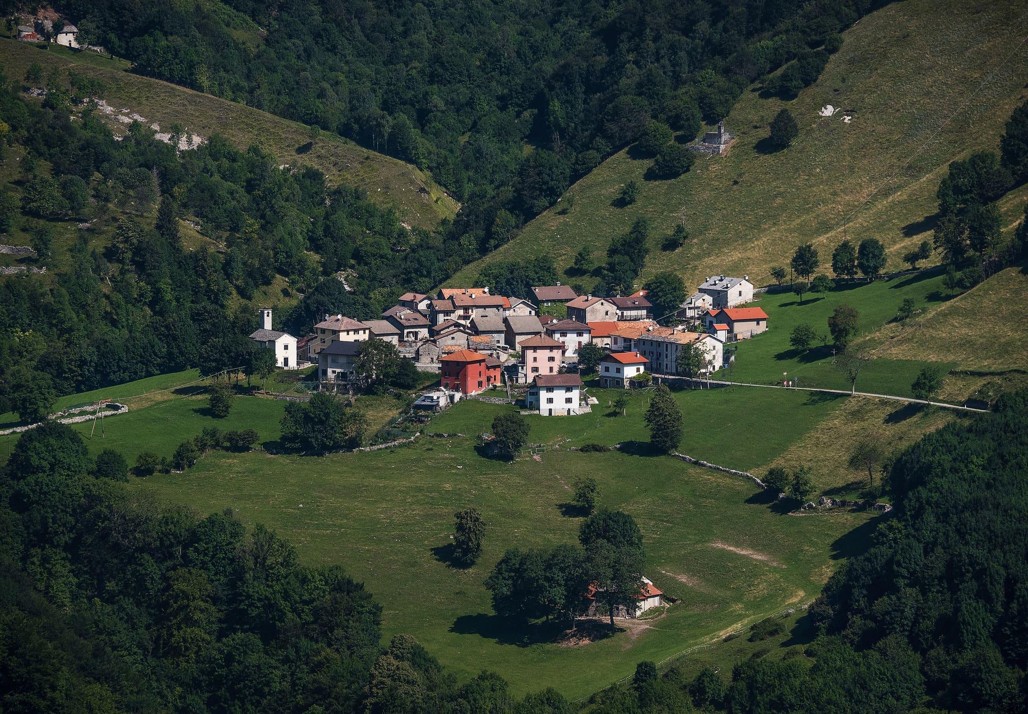
An hour and twenty minutes through the woods of the Valle Intelvi, from La Bolla above Casasco to the small village of Erbonne: level at first, then gently downhill, past a pond, the stone ice houses and old farm houses, with a glimpse of the lake and Monte San Zeno.
2 h 30 – 3 h 30Car neededOpen access
Val d'Intelvi
Sasso Gordona from the Pian delle Alpi
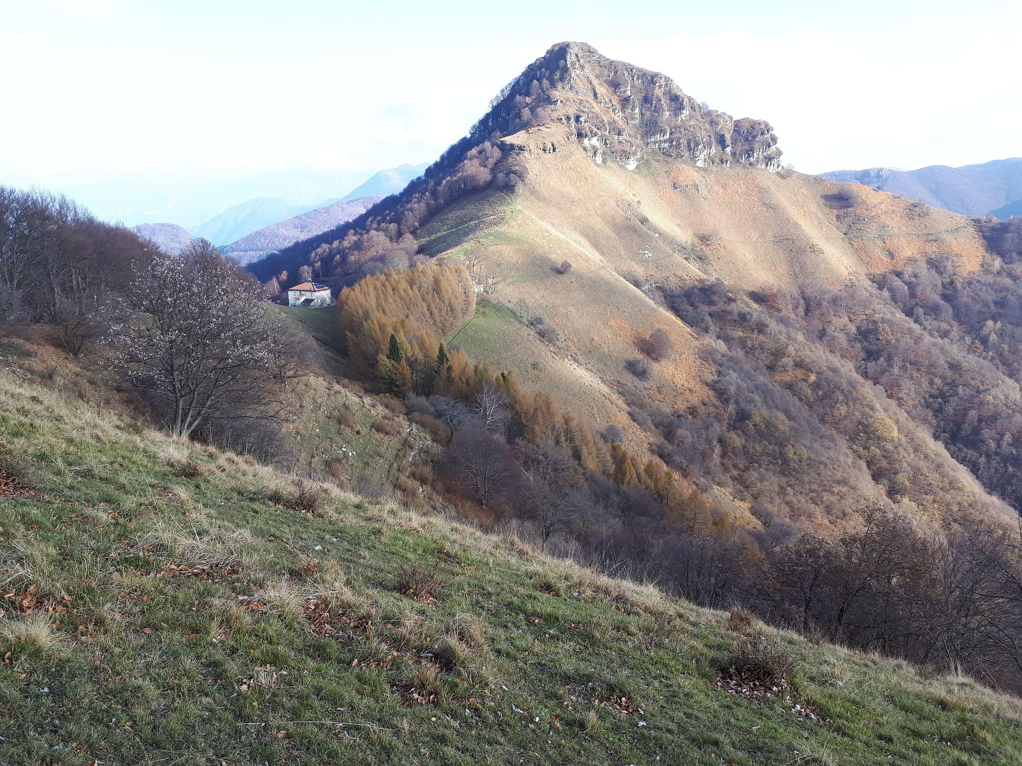
The summit on the Swiss border regarded as the valley's emblem: an hour from the Pian delle Alpi to the Rifugio Prabello, an hour's steep climb to the summit cross, and on its slopes the tunnels and trenches of the Cadorna Line.
3 h 30 – 4 h 30Car neededOpen access
Events
Before you go
How long it takes
- from Como55 minby car
- from Lecco1 h 40by car
Typical door-to-door times by public transport, changes included. From Milan, counted from Centrale station.
Tourist office
Alta Valle Intelvi Tourist Office
Piazza Martino Novi 2, 22024 Alta Valle Intelvi
Updated: 14 Sept 2026 · OpenStreetMap.
Parking and services
- Piazza Giuseppe Garibaldisurface
- Piazza Giuseppe Garibaldisurface
- Car parksurface · 5 spaces · free
2 public toilets7 drinking fountains1 cash machine4 defibrillators
Car parks and services on the map
Within two and a half kilometres of the centre; check car park spaces and fees on arrival.
How do I get to the Sighignola belvedere?
By car: from Argegno you climb into the Val d'Intelvi to Lanzo, then the Sighignola road continues for six kilometres to the terrace at 1,302 metres. Without a car it is hard: the valley buses reach Lanzo, and from there the belvedere is two hours uphill on foot. In winter the road may be closed by snow.
What is there to do in Lanzo besides the belvedere?
Easy walks in the beech woods, the 1962 golf course among the woods, the frescoed churches of the valley at Scaria and Castiglione. Half an hour by car, or a little more on the C120 bus, takes you back to Argegno for the boat. The whole day, from the lake to the Sighignola, is in the itinerary “The Val d'Intelvi in a day”.
- Population
- 1,400
- Elevation
- 907 m
Updated 22 October 2026
The mountains around the village hide the sun before astronomical sunset: sunrise and sunset are worked out on the village's own horizon.
Today, 1 November, estimated sunlight at the reference point: first at 07:20 and last at 15:56, giving 8 h 37 of direct sun, out of 10 h 06 of daylight.
Today the sun arrives between 07:14 and 07:30 and leaves between 15:33 and 16:00, depending on the street.
JuneDecembertoday
Watch the shadow reach Lanzo d'Intelvi today
See from Lanzo d'Intelvi where the sun goes, in 3D
The sun at an exact spot in Lanzo d'Intelvi: your hotel, a beach, a street
The highest summit in view from here is Monte Disgrazia, 3678 m, 65 kilometres away.
- Il Torrione, 1806 m, 10 km
- Pizzo di Gino, 2245 m, 19 km
- Monte Caslè, 1030 m, 2 km
- Monte Pinzernone, 1176 m, 4 km
- Monte Bregagnino, 1905 m, 20 km
- Monte Disgrazia, 3678 m, 65 km
- Monte Caldenno, 2669 m, 64 km
- Monte Galbiga, 1691 m, 12 km
- Monte di Lenno, 1588 m, 10 km
- Pizzo di Trona, 2510 m, 40 km
- Monte Costone, 1441 m, 8 km
- Monte Sertore, 1393 m, 7 km
- Monte Pasquella, 1331 m, 8 km
- Punta Cermenati (Monte Resegone), 1875 m, 37 km
- Monte San Primo, 1682 m, 16 km
- Monte Prada, 1090 m, 3 km
- Monte Alpe Nuovo, 1192 m, 3 km
- Monte d'Orimento, 1383 m, 4 km
- Cima Boll, 1390 m, 3 km
- Monte Baraghetto, 1694 m, 5 km
- Cima dei Torrioni, 1488 m, 4 km
- Monte Creggio, 1184 m, 2 km
The ochre line follows today's sun path and marks the estimated times of its first and last appearance above the mountains. Drag the panorama to see all of it.
How it is drawn
Paler ridges are farther away; heights are stretched two and a half times. Houses are not drawn, nor are trees within half a kilometre. Terrain © Regione Lombardia (CC BY 4.0); summits © OpenStreetMap contributors.
Can you cross into Switzerland from here?
Yes: the valley drops on the other side towards Lake Lugano, and the border is a few kilometres from Lanzo, through minor crossings open at limited hours. You need a valid ID; with a hire car check that the contract allows leaving Italy. Lugano is half an hour away.
When is the market?
Lanzo's market is on the second and fourth Thursday of the month, in the morning.
On the map
What is around, and how far.
© OpenStreetMap contributors · ODbL
Nearby
Typical door-to-door times.
Sources and credits
- Maps, parking, services and distances: © OpenStreetMap contributors (ODbL).
- Freely licensed photographs: authors and licences under Photograph credits.
Sources and credits
- Maps, parking, services and distances: © OpenStreetMap contributors (ODbL).
- Freely licensed photographs: authors and licences under Photograph credits.