Skip to content

Val d'Intelvi

The balconies of the Val d'Intelvi

Duration
3 h – 6 h
Distance
5.7 km
Climb
+9 m
Effort
Moderate
Car-free
Yes
With children
Suitable
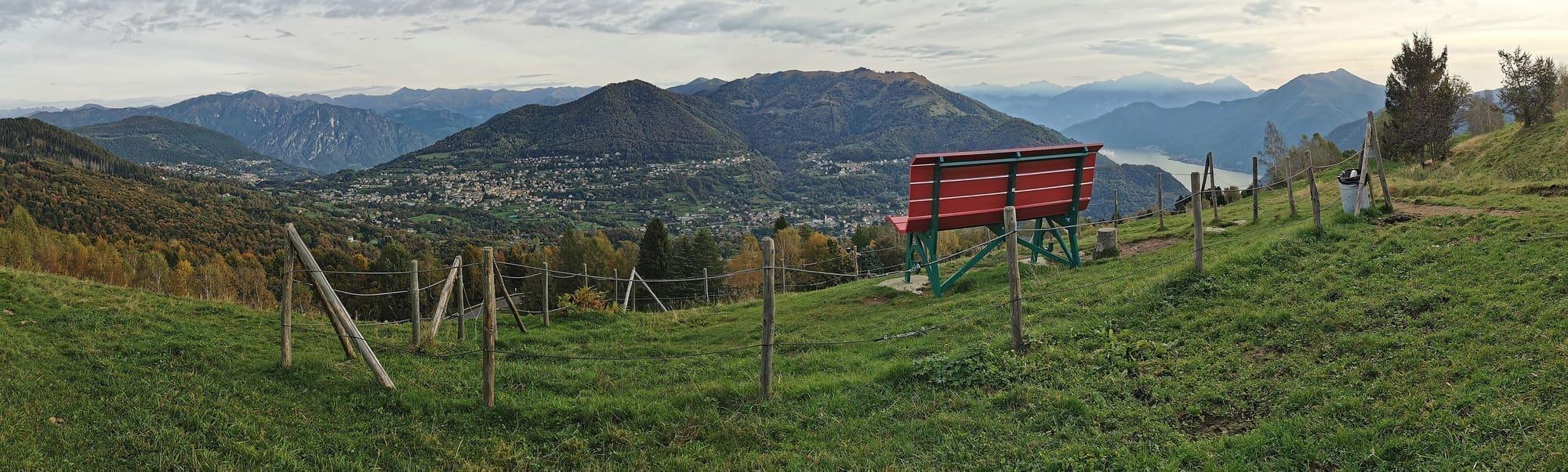
A big bench on a Val d'Intelvi meadow, mountains beyond.Kaitu · CC0
  • Kaitu · CC0
  • Pifoyde · CC BY-SA 3.0

1 / 3

A big bench on a Val d'Intelvi meadow, mountains beyond.

Kaitu · CC0

How it works

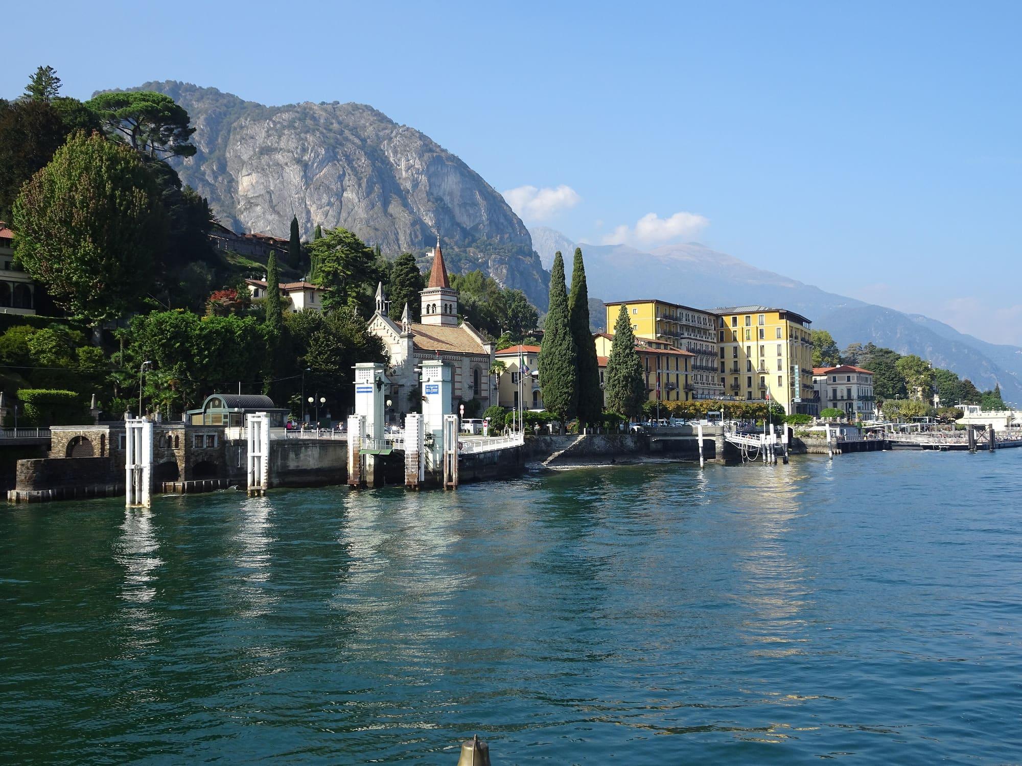
The cable car, run by ATM, climbs in six minutes from Argegno, on the lake, to Pigra, a village of just over two hundred people at the mouth of the Val d'Intelvi.

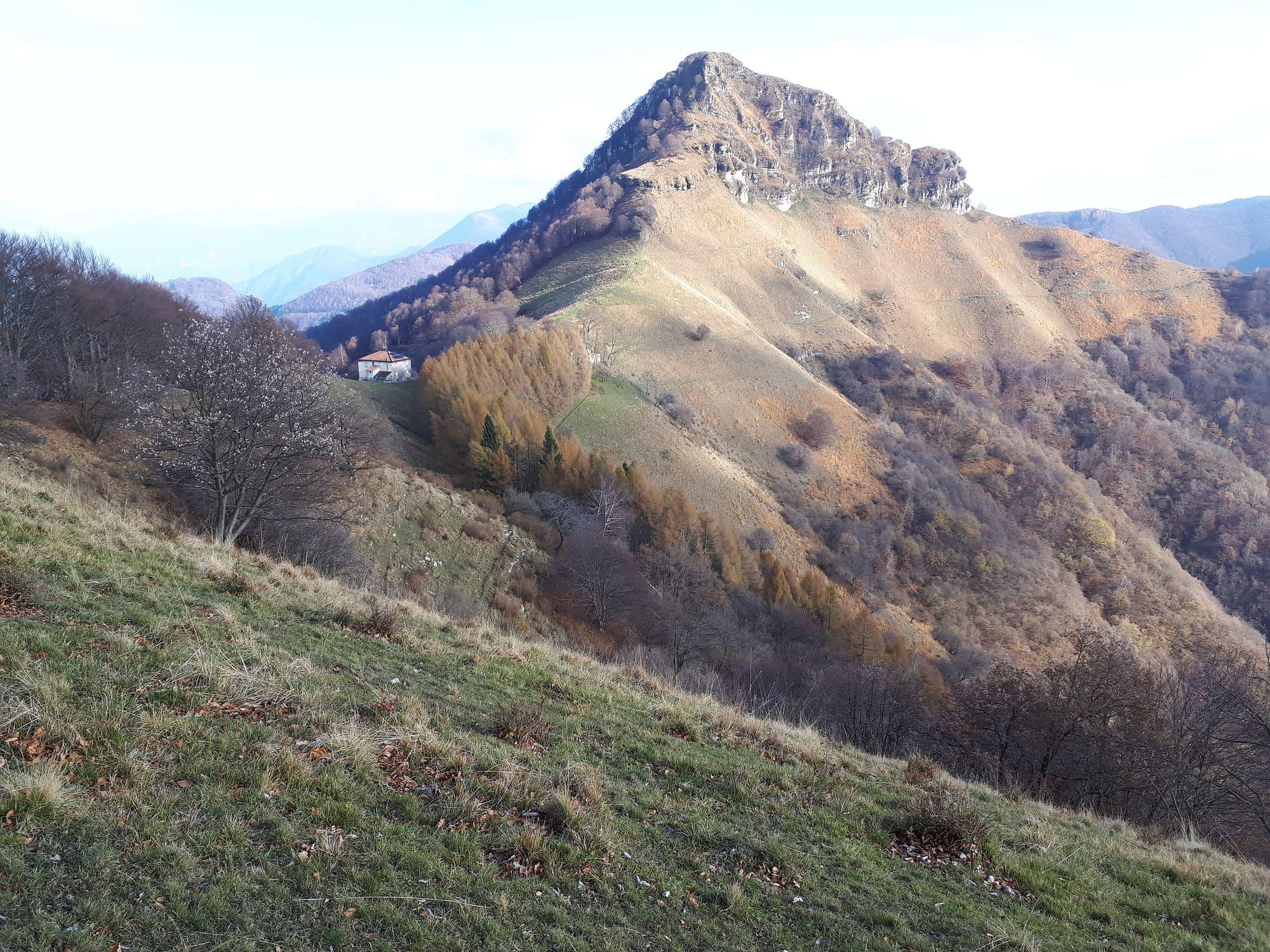
From the village terrace you look down on the lake's first basin. An easy fifteen-minute path leads to the Pigra belvedere, which looks over the Como branch, the centre of the lake with Bellagio and Varenna and, in the distance, the Grigne and Monte Legnone. From Pigra you can walk back down to the lake. A path of about six kilometres drops to Colonno in two hours, by way of Serta and Corniga, with views of the Isola Comacina and the Dosso di Lavedo. The Greenway starts at Colonno, and the bus to Argegno and Como stops there. To climb higher, the Alpe di Colonno, at 1,322 metres, is an hour and a half or a little more from Pigra, along an old forest road through beech woods. Further inland the valley leads to Lanzo d'Intelvi and the Sighignola, the “balcony of Italy”, a terrace at 1,302 metres above sea level overlooking Lake Lugano.

  1. From Como to Argegno by C110 bus (35 minutes) or by boat (55 minutes). The cable car station is about a hundred metres' walk from the landing stage; the C110 stop is called Argegno Stazione Funivia.
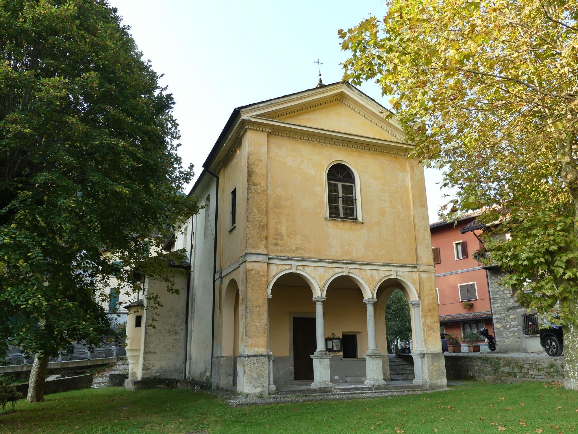
  2. In Pigra the parish church of Santa Margherita, with its late sixteenth-century bell tower, stands near the upper station; the oratory of San Rocco has frescoes from 1662. The belvedere is a quarter of an hour's walk from the village, on an easy path of about 600 metres.
  3. The walk down to Colonno is about six kilometres long, with a descent of about 670 metres; after Corniga some stretches are very steep. From Colonno the C110 bus returns to Argegno in five minutes; on foot you can carry on along the Greenway towards Sala Comacina and the Tremezzina.
  4. You can also walk up from Argegno on the mule track to Pigra, stone-paved and 4.4 kilometres long: at least an hour and a half of demanding climbing, past the medieval bridge over the Telo, the church of San Sisinnio and Muronico, a hamlet of Dizzasco.
  5. For the Alpe di Colonno, climb from Pigra on the Strada ai Monti, an old forest road that cars cannot use: from an hour and a half to just under two hours, with 400 to 480 metres of ascent. The longer variant crosses the Bocchetta di Pigra and follows a stretch of the Via dei Monti Lariani.
  6. The Sighignola belvedere is reached by car: Argegno to Lanzo d'Intelvi takes half an hour, then the mountain road continues for six kilometres and can close for snow in winter. Without a car, the C120 bus runs from Argegno up to Lanzo.

WhereArgegno · Lanzo d'Intelvi

The trail in numbers

Length, climb, altitude and walking time calculated on the path's track. The track runs from Pigra to Colonno.

Length
5.7 km
Ascent
+9 m
Descent
−673 m
Lowest point
232 m
Highest point
899 m
Walking time
2 h 05

CAI gradeE · hiking: real path, steep stretches

  • With children
  • With a dog
  • With a pushchair
  • Plenty of shade
20040060080010000 km1 km2 km3 km4 km5 km

At Colonno, where the stage ends, the sun goes behind the ridge today at 15:55.

Start0 km from the Argegno–Pigra Cable CarEnd0 km from Colonno pier

Trail status

No closures reported by the trail managers; last checked on 1 October 2026. Ordinances and landslides can close a path without warning.

Notices from the managers: Comune di Pigra

Track routed with BRouter over the roads and paths of OpenStreetMap (© contributors, ODbL); heights from Terrain Tiles (SRTM/EU-DEM). Time follows the DIN 33466 rule (4 km/h, 300 m/h up, 500 m/h down), without stops. The profile is exaggerated vertically. Sources: BRouter · Terrain Tiles

On the map

Explore the lake
12Argegno

© OpenStreetMap contributors · ODbL

Download the route (GPX)Stops and track for Komoot, OsmAnd, Organic Maps or a Garmin.
The page as a printable document, with the route drawn on it: useful where there is no phone signal.

What's on nearby

Events within a few kilometres, on now or coming up.

See all

Nearby: places, experiences, services

Sources and credits

Sources and credits