28Nov
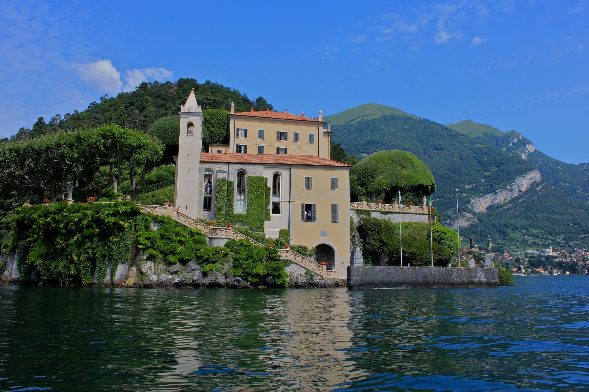
The nativity night at Villa del Balbianello
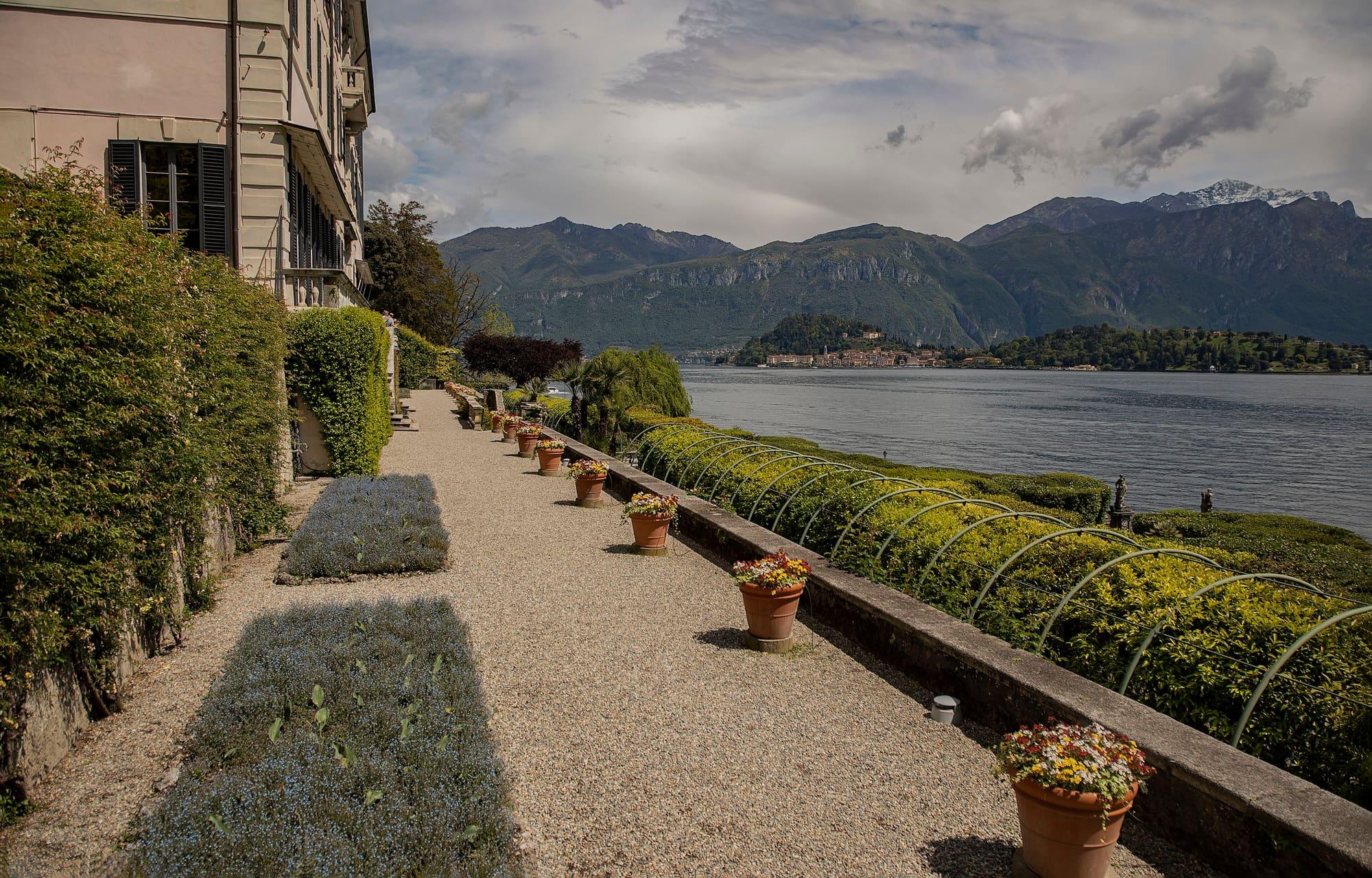
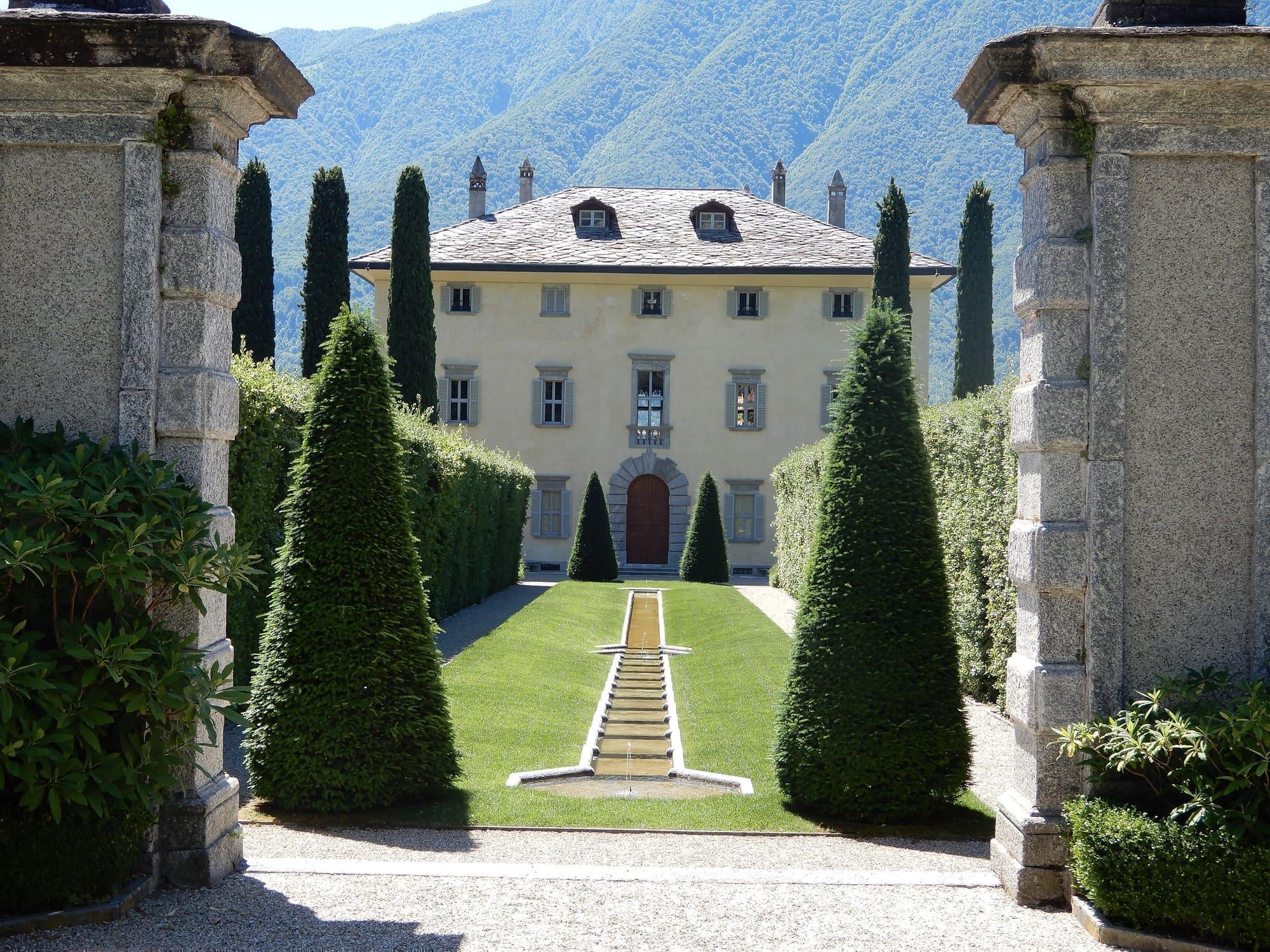
An evening in late November when the FAI opens the villa at Lenno for its nativity scenes.
Villa del Balbianello, Lenno (Tremezzina)
Centro Lago
About eleven kilometres from Colonno to Griante, through villages, along mule tracks and beside the lake.
The Greenway del Lago di Como is a walking route of about 11 kilometres on the western shore, from Colonno to Griante, beyond Cadenabbia, through Sala Comacina, Ossuccio, Lenno, Mezzegra and Tremezzo.
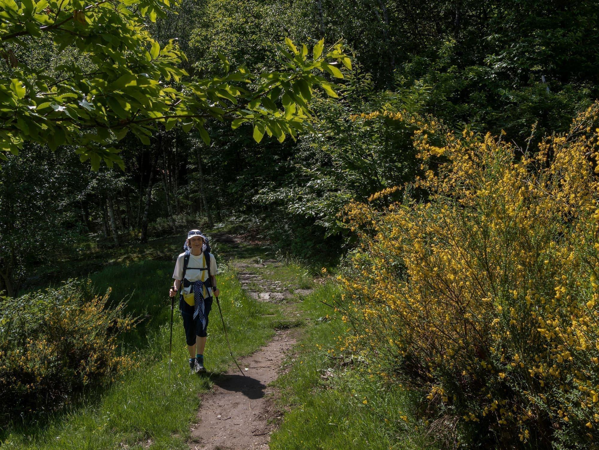
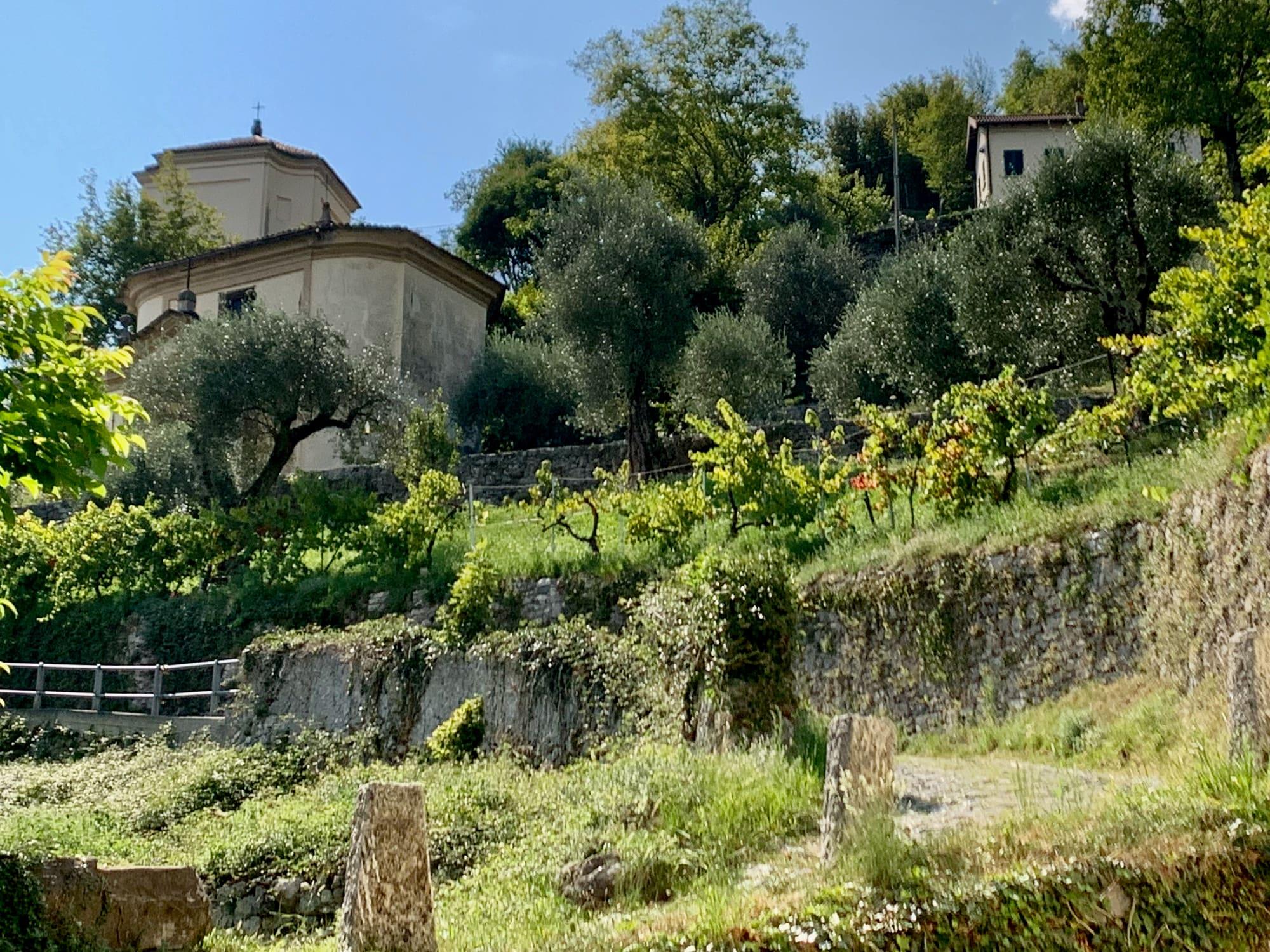
It links mule tracks, lanes between houses and stretches of the old Via Regina. It alternates climbs, descents and lakefront stretches, going through the villages, past vegetable plots, olive groves, churches, doorways and gardens. From Colonno to Sala Comacina it follows the old Regina along the hillside, and beyond Sala the view opens onto the Isola Comacina. At Ossuccio it passes the Romanesque church of Santi Giacomo e Filippo; at Lenno it follows the lakefront past the church of Santo Stefano and the Romanesque baptistery. From Lenno a cobbled lane climbs to Mezzegra, the church of Sant'Abbondio and the old core of Bonzanigo. The last stretch runs along the lakefront beside the main road: it goes through the Parco Teresio Olivelli and Tremezzo, passes Villa Carlotta and continues beyond Cadenabbia to Griante. The whole route takes about three and a half hours, but buses and boats let you walk just one section.
WhereTremezzina · Argegno · Colonno · Sala Comacina · Griante
Length, climb, altitude and walking time calculated on the path's track. The track runs from Colonno to Cadenabbia di Griante.
CAI gradeT · tourist: roads and mule tracks
At Cadenabbia di Griante, where the stage ends, the sun goes behind the ridge today at 15:38.
Trail status
No closures reported by the trail managers; last checked on 1 October 2026. Ordinances and landslides can close a path without warning.
Notices from the managers: Greenway del Lago di Como · info utili
Track © OpenStreetMap contributors (ODbL); heights from Terrain Tiles (SRTM/EU-DEM). Time follows the DIN 33466 rule (4 km/h, 300 m/h up, 500 m/h down), without stops. The profile is exaggerated vertically. Sources: OpenStreetMap · Terrain Tiles
© OpenStreetMap contributors · ODbL
Events within a few kilometres, on now or coming up.
28Nov
An evening in late November when the FAI opens the villa at Lenno for its nativity scenes.
26Jun 2027
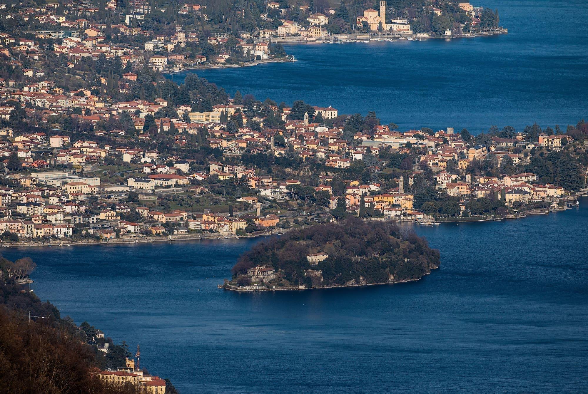
Fireworks over Isola Comacina and celebrations at Ossuccio and on the island.
28Aug 2027
Missoltini and polenta in Mezzegra's park, going since 1964, in late August.