Until31Jan 2027
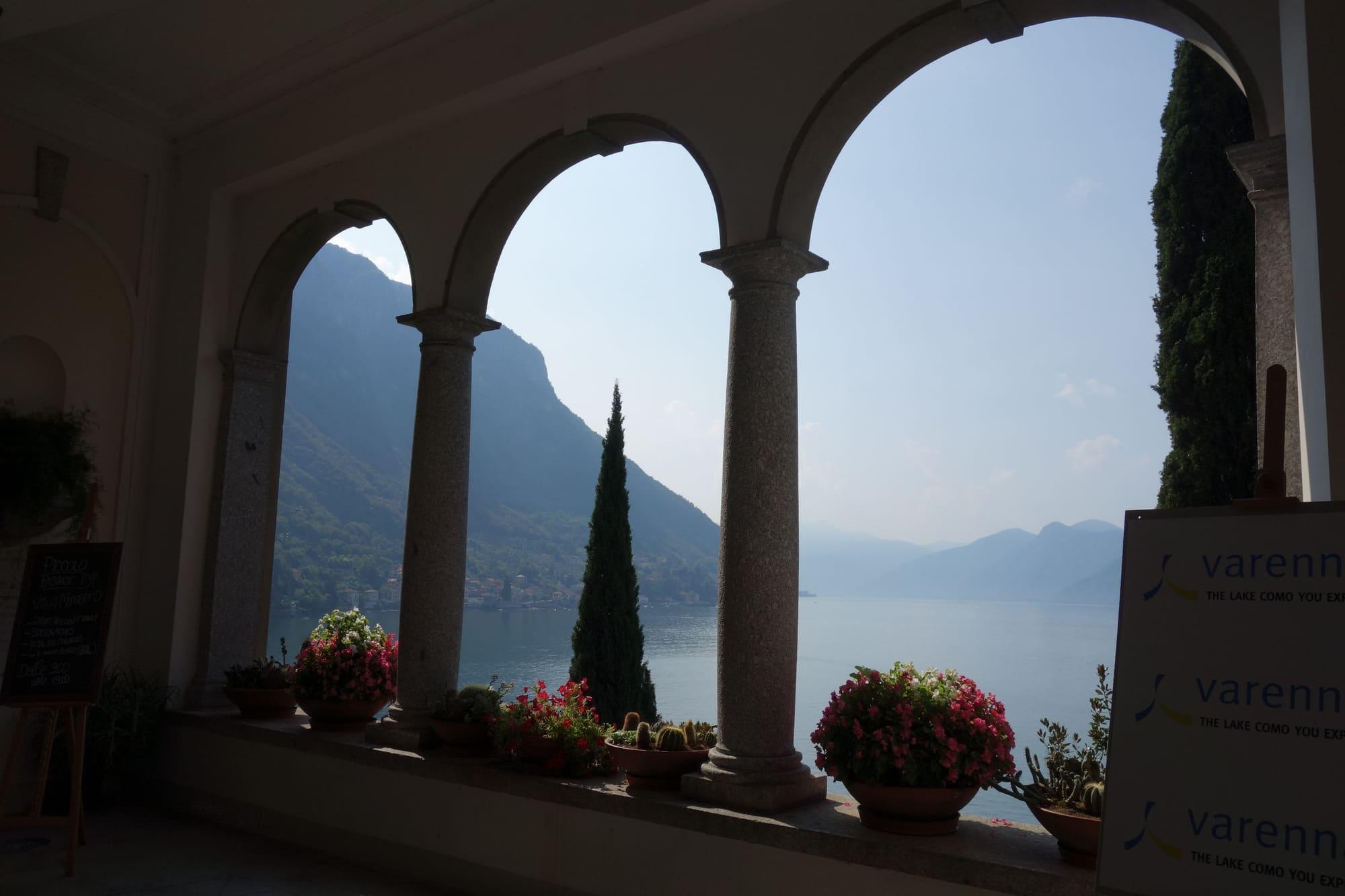
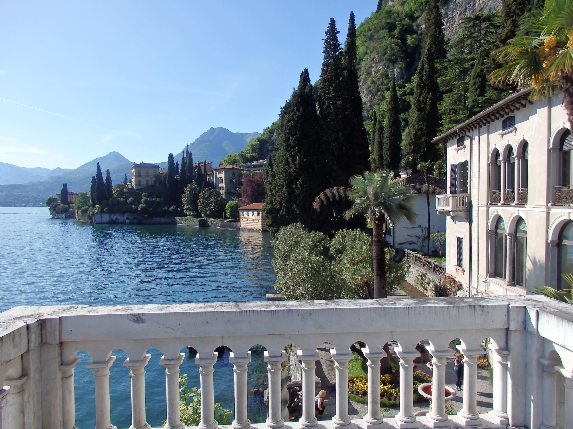
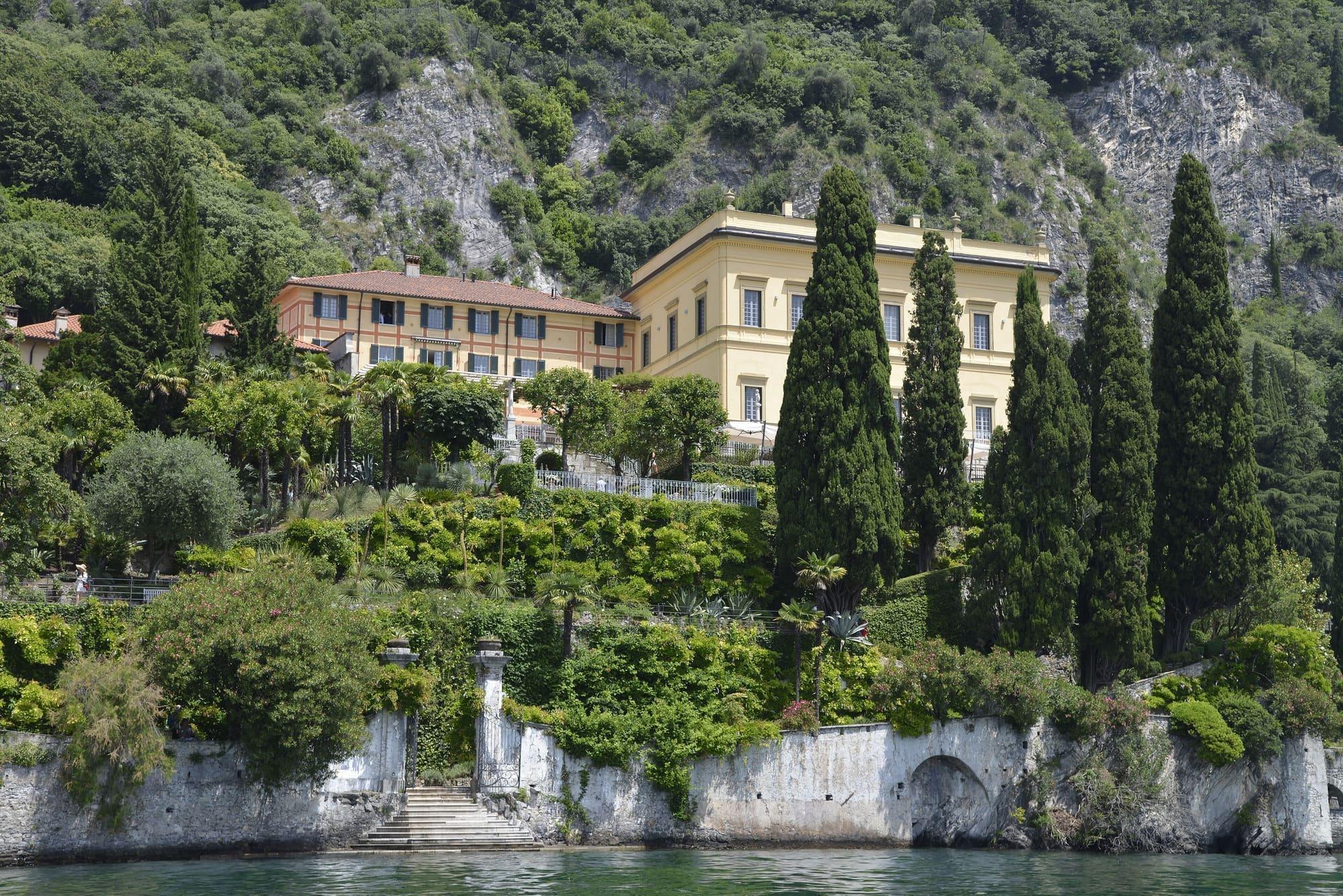
Marco and Rosa De Marchi: a villa, a collection, a love story
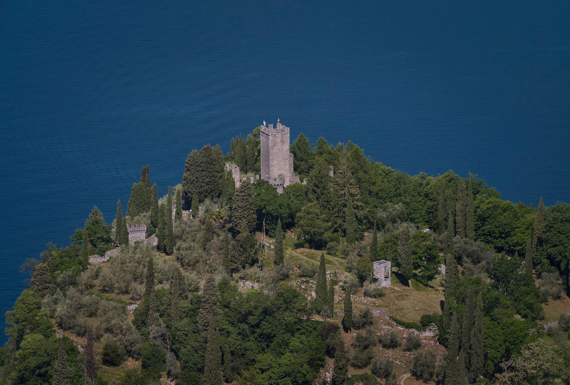
Villa Monastero remembers Marco and Rosa De Marchi, who bequeathed it for public use, ninety years after Marco's death.
Villa Monastero, Casa Museo
Lecco Branch
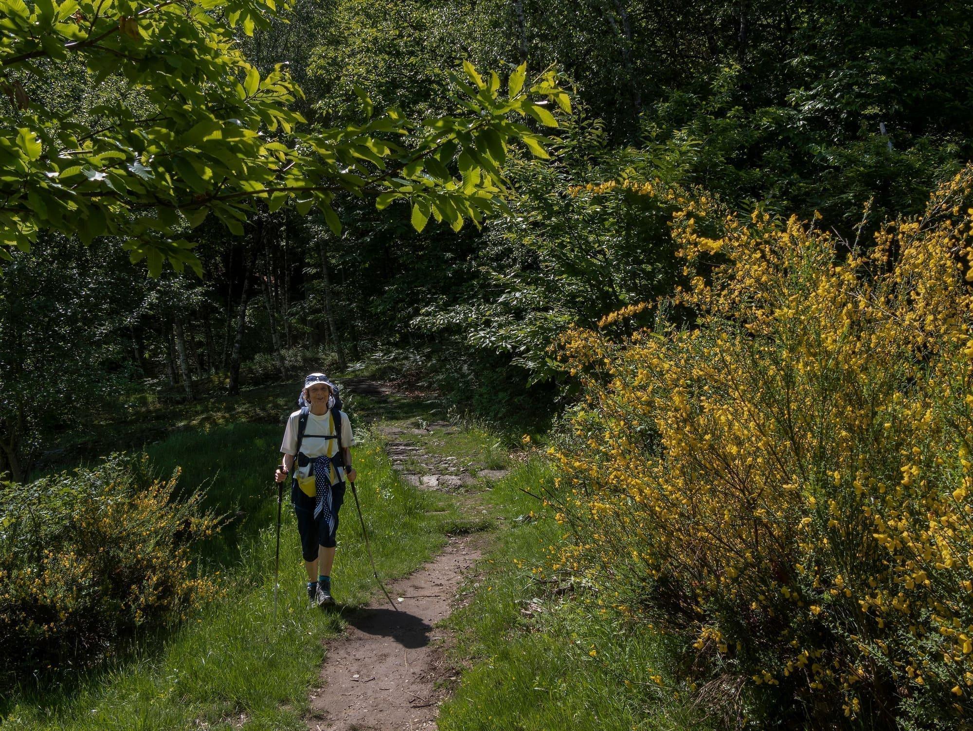
Start at one station, walk above the lake, come back from another.
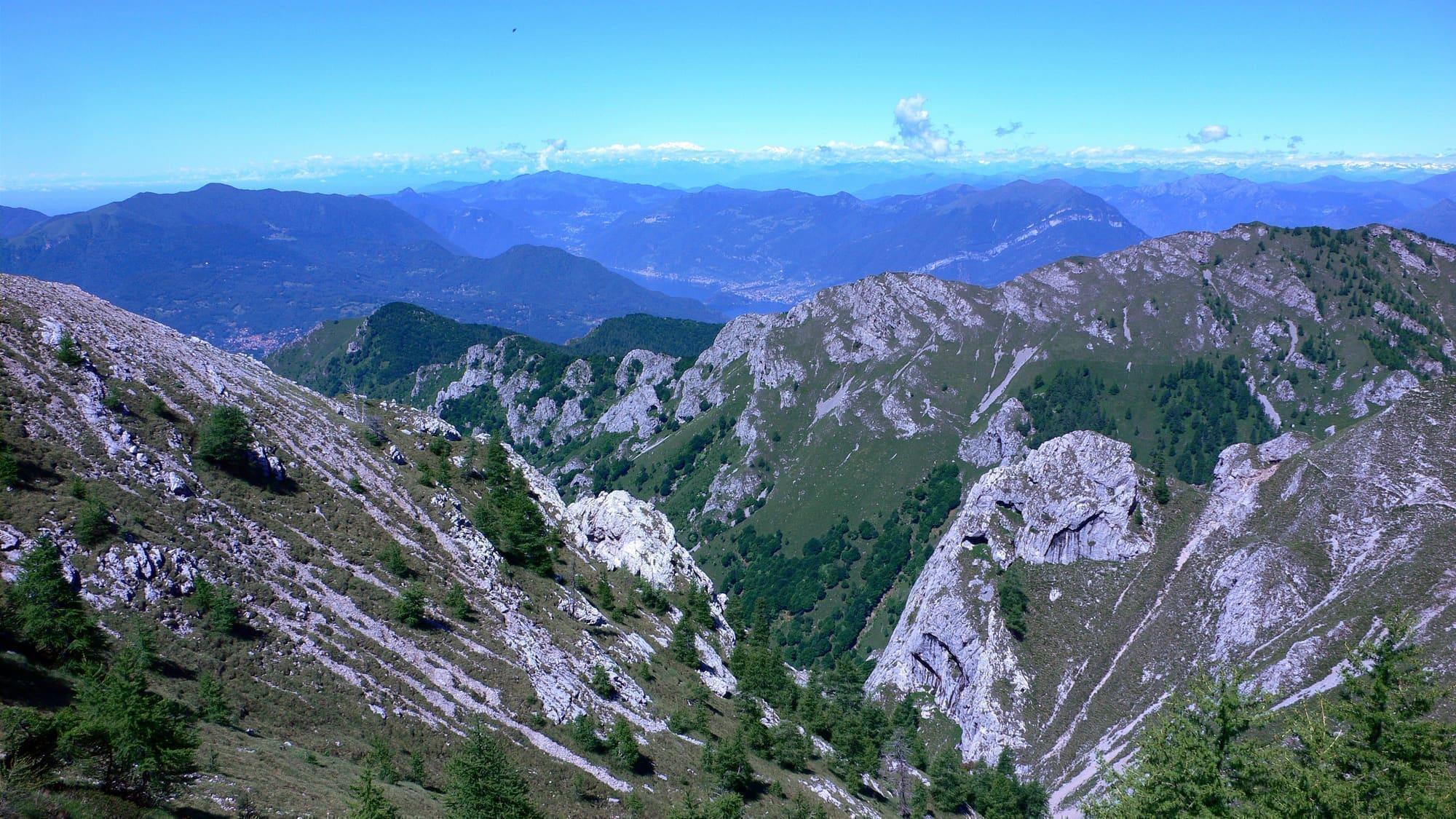
The Sentiero del Viandante follows the eastern shore from Lecco to Sorico.
For a stage with outward and return journeys by train, choose the section between Lecco and Colico, where the railway links the towns below the path. Check ascent, access from the stations and the stops served by your chosen trains.
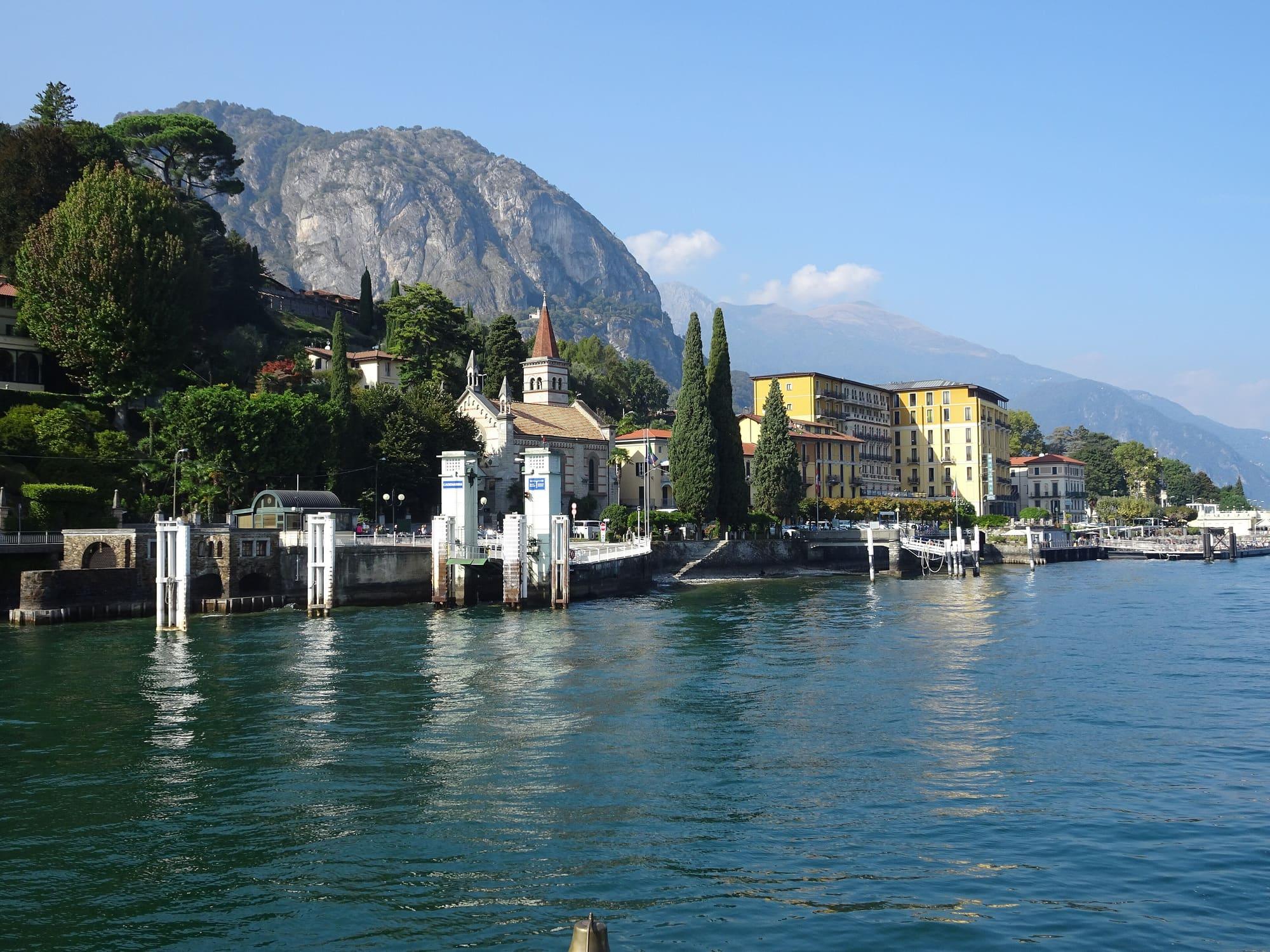
WhereVarenna · Bellano · Lierna · Mandello del Lario · Lecco · Abbadia Lariana · Dervio
Length, climb, altitude and walking time calculated on the path's track. The track runs from Lecco to Colico (Posallo).
CAI gradeE · hiking: real path, steep stretches
Stage 1Lecco → Abbadia LarianaClosed
7.1 km · +209 m · −186 m · 2 h 20
At Abbadia Lariana, where the stage ends, the sun goes behind the ridge today at 16:00.
Start0.3 km from Lecco stationEnd0.5 km from Abbadia Lariana station
Stage 2Abbadia Lariana → Lierna
7.8 km · +264 m · −232 m · 2 h 35
At Lierna, where the stage ends, the sun goes behind the ridge today at 16:14.
Start0.6 km from Mandello del Lario stationEnd0.4 km from Lierna station
Stage 3Lierna → VezioClosed
10.8 km · +819 m · −693 m · 5 h 30
At Vezio, where the stage ends, the sun goes behind the ridge today at 16:48.
Start0.4 km from Lierna stationEnd0.8 km from Varenna-Esino-Perledo station
Stage 4Perledo → Bellano
4.6 km · +60 m · −238 m · 1 h 30
At Bellano, where the stage ends, the sun goes behind the ridge today at 16:21.
Start0.8 km from Varenna-Esino-Perledo stationEnd0.4 km from Bellano-Tartavalle Terme station
Stage 5Bellano → Dervio
4.9 km · +226 m · −236 m · 1 h 50
At Dervio, where the stage ends, the sun goes behind the ridge today at 16:28.
Start0.4 km from Bellano-Tartavalle Terme stationEnd0.3 km from Dervio station
Stage 6Dervio → Colico (Posallo)
9.1 km · +522 m · −315 m · 3 h 30
At Colico (Posallo), where the stage ends, the sun goes behind the ridge today at 14:19.
Trail status
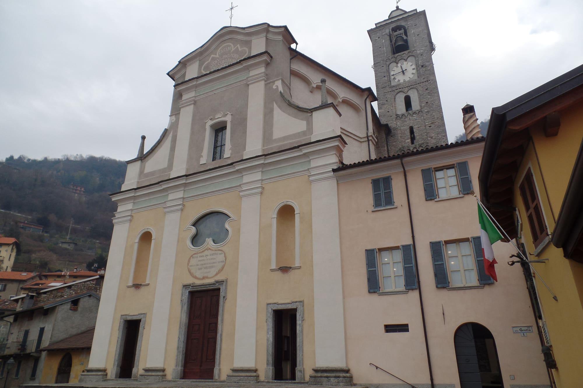
ClosedSan Martino, on the Lecco–Abbadia Lariana stretch (municipality of Abbadia Lariana)
Closed to walkers for ground instability, ordinance no. 11 of the Municipality of Abbadia Lariana of 4 February 2025. Since 4 February 2025, until revoked.
Source: Le Vie del Viandante · checked on 1 October 2026
ClosedLower variant between Lierna and Varenna, the stretch between Pino and the Fiumelatte spring (municipality of Varenna)
Anas work on the rockfall nets above the path, protecting the SS36. Notice of 10 March 2026, updated May 2026, with no end date given. Since 10 March 2026, until revoked.
AlternativeFrom Lierna turn left down at the Anas cabin before the stretch on the main road, along via Roslina through Pino to Fiumelatte on the shore; from there along the lake to Varenna, or up to the Fiumelatte spring.
Source: Le Vie del Viandante · checked on 1 October 2026
Notices from the managers: Le Vie del Viandante · news · Varenna Turismo
Track © OpenStreetMap contributors (ODbL); heights from Terrain Tiles (SRTM/EU-DEM). Time follows the DIN 33466 rule (4 km/h, 300 m/h up, 500 m/h down), without stops. The profile is exaggerated vertically. Sources: OpenStreetMap · Terrain Tiles
© OpenStreetMap contributors · ODbL
Events within a few kilometres, on now or coming up.
Until31Jan 2027
Villa Monastero remembers Marco and Rosa De Marchi, who bequeathed it for public use, ninety years after Marco's death.
24Dec
On Christmas Eve afternoon, Father Christmas in Piazza San Giorgio with presents for the children and a snack.
6Jan 2027
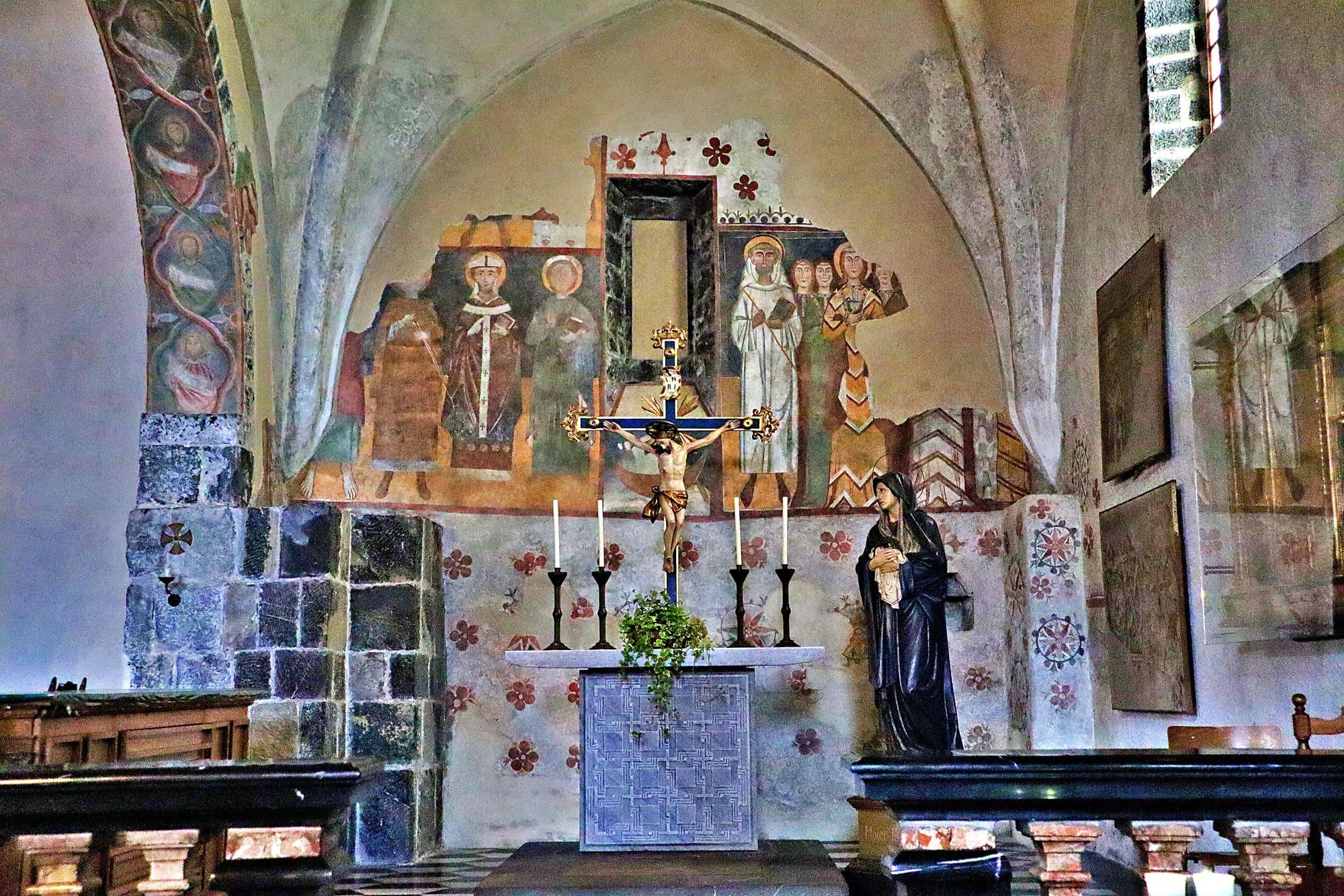
The children's blessing at San Giorgio and the Befana's arrival in the square.