Skip to content

Lecco Branch

Grigna and the Piani Resinelli

Duration
5 h – 9 h
Distance
5.5 km
Climb
+1014 m
Effort
Demanding
Car-free
Needs a car
With children
Not ideal
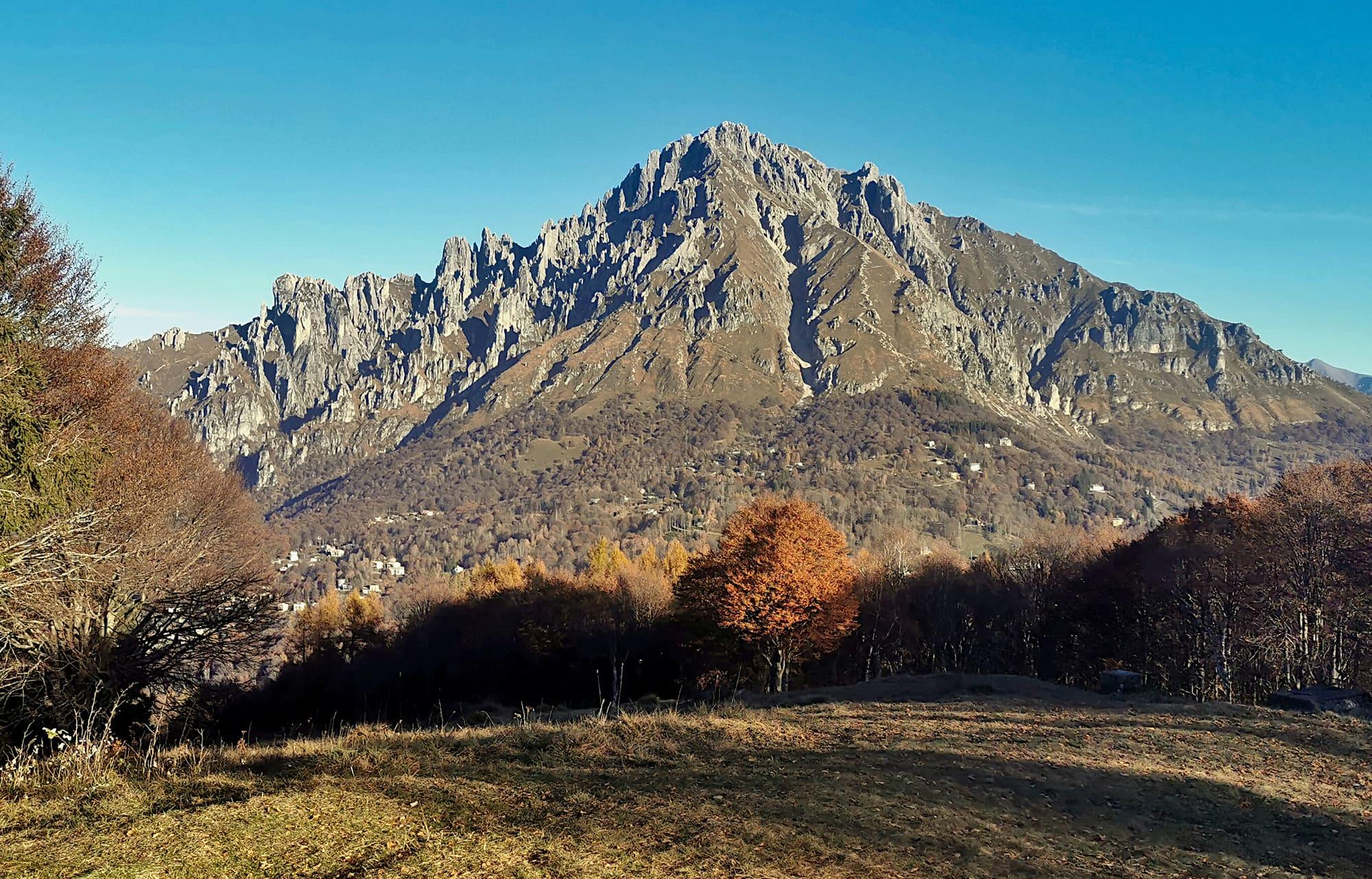
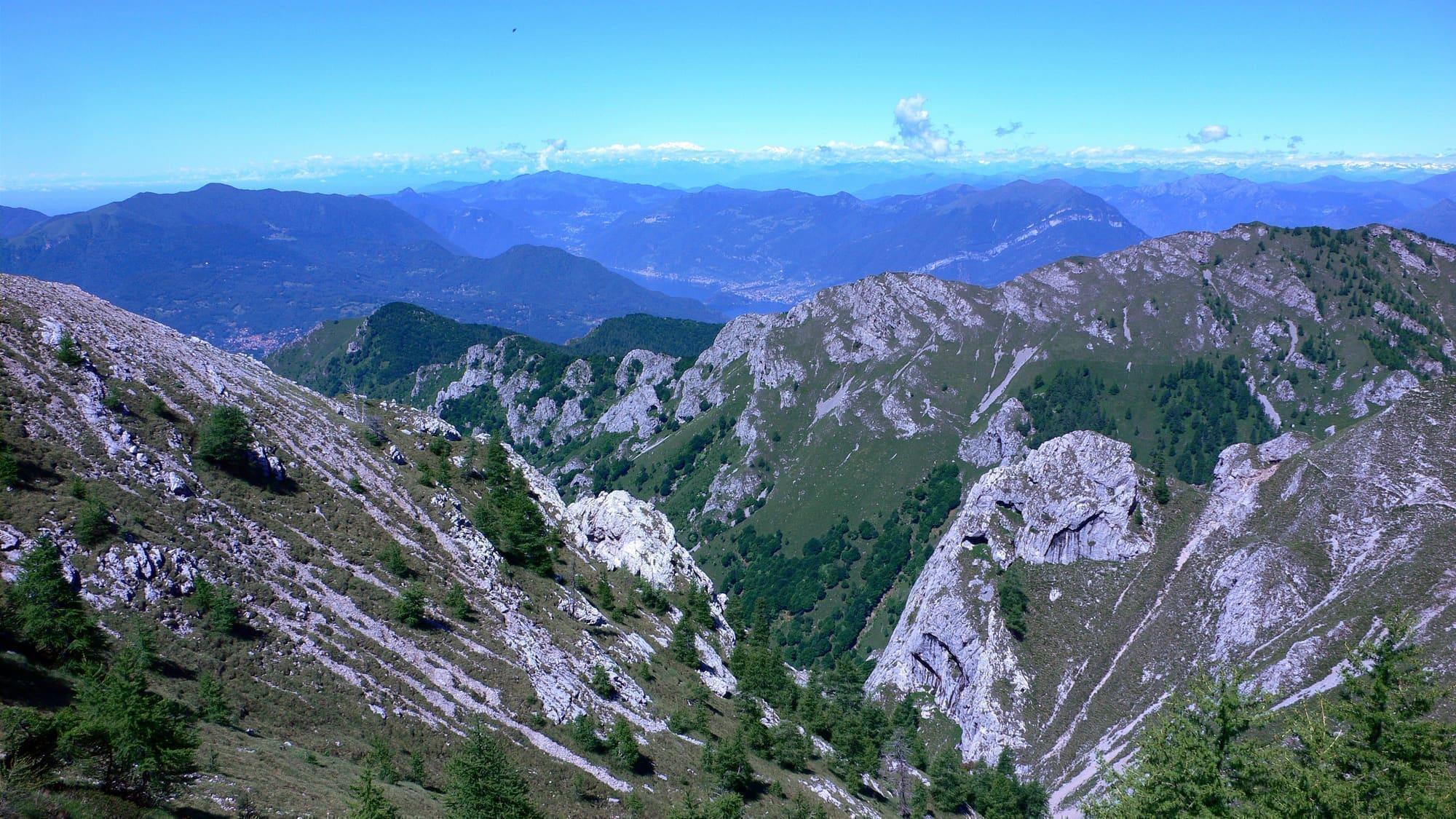
The limestone spires of the Grigna above the Lecco branch.Carlo Maria Pensa · CC BY-SA 3.0
  • Carlo Maria Pensa · CC BY-SA 3.0
  • Carlo Maria Pensa · CC BY-SA 3.0

1 / 3

The limestone spires of the Grigna above the Lecco branch.

Carlo Maria Pensa · CC BY-SA 3.0

How it works

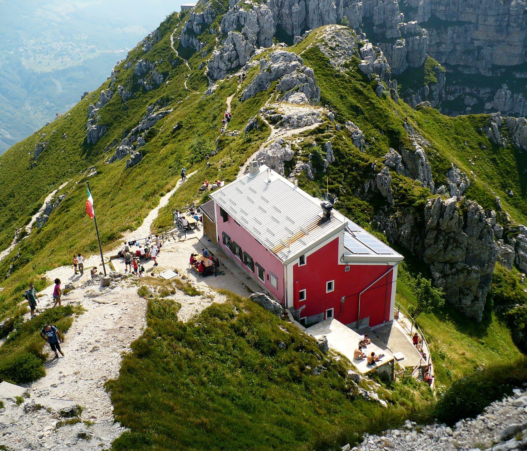
The Grignetta and the Piani Resinelli are historic ground: generations of climbers learned here, from the Ragni di Lecco onwards.

There is everything from level walks on the Piani to via ferrata and classic rock, and all of it is reachable from Lecco station.

  1. The Piani Resinelli are reached by car or bus from Lecco; the Piani d'Erna cable car leaves from the city itself.
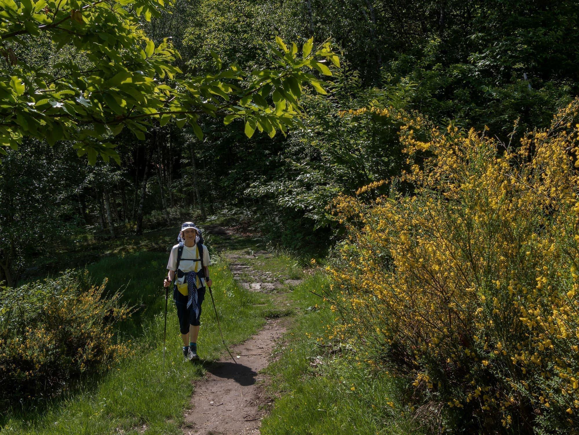
  2. The Parco Valentino loop leads to the belvedere walkway above Lecco and suits families too.
  3. The ridge and the via ferrata need experience, a helmet and proper kit: this is not ground to improvise on.
  4. At Esino the Museo delle Grigne explains the mountain's rocks and fossils.

WhereLecco · Mandello del Lario · Esino Lario · Abbadia Lariana

The trail in numbers

Length, climb, altitude and walking time calculated on the path's track.

Length
5.5 km
Ascent
+1014 m
Descent
−69 m
Lowest point
1432 m
Highest point
2377 m
Walking time
4 h 10

CAI gradeEE · experienced: exposed ground, sure foot

  • With children
  • With a dog
  • With a pushchair
  • Little shade
10001500200025000 km1 km2 km3 km4 km5 km

At Esino - Rifugio Brioschi, where the stage ends, the sun goes behind the ridge today at 17:07.

Trail status

No closures reported by the trail managers; last checked on 1 October 2026. Ordinances and landslides can close a path without warning.

Notices from the managers: CAI Lecco

Track © OpenStreetMap contributors (ODbL); heights from Terrain Tiles (SRTM/EU-DEM). Time follows the DIN 33466 rule (4 km/h, 300 m/h up, 500 m/h down), without stops. The profile is exaggerated vertically. Sources: OpenStreetMap · Terrain Tiles

On the map

Explore the lake

© OpenStreetMap contributors · ODbL

Download the route (GPX)Stops and track for Komoot, OsmAnd, Organic Maps or a Garmin.
The page as a printable document, with the route drawn on it: useful where there is no phone signal.

What's on nearby

Events within a few kilometres, on now or coming up.

See all

Nearby: places, experiences, services

Sources and credits

Sources and credits