


3Jan 2027
Lecco Branch
Esino Lario
- Ideal for
- Walking at altitude, mountain huts, escaping the heat
- Time needed
- A day; two or three nights if you are going up the Grigna
- Best season
- June–October; in winter the road can be iced
- What to see
- The Cainallo and the start of the path to the Grigna
- Best reached by
- Bus from Varenna, or twelve kilometres of hairpins by car
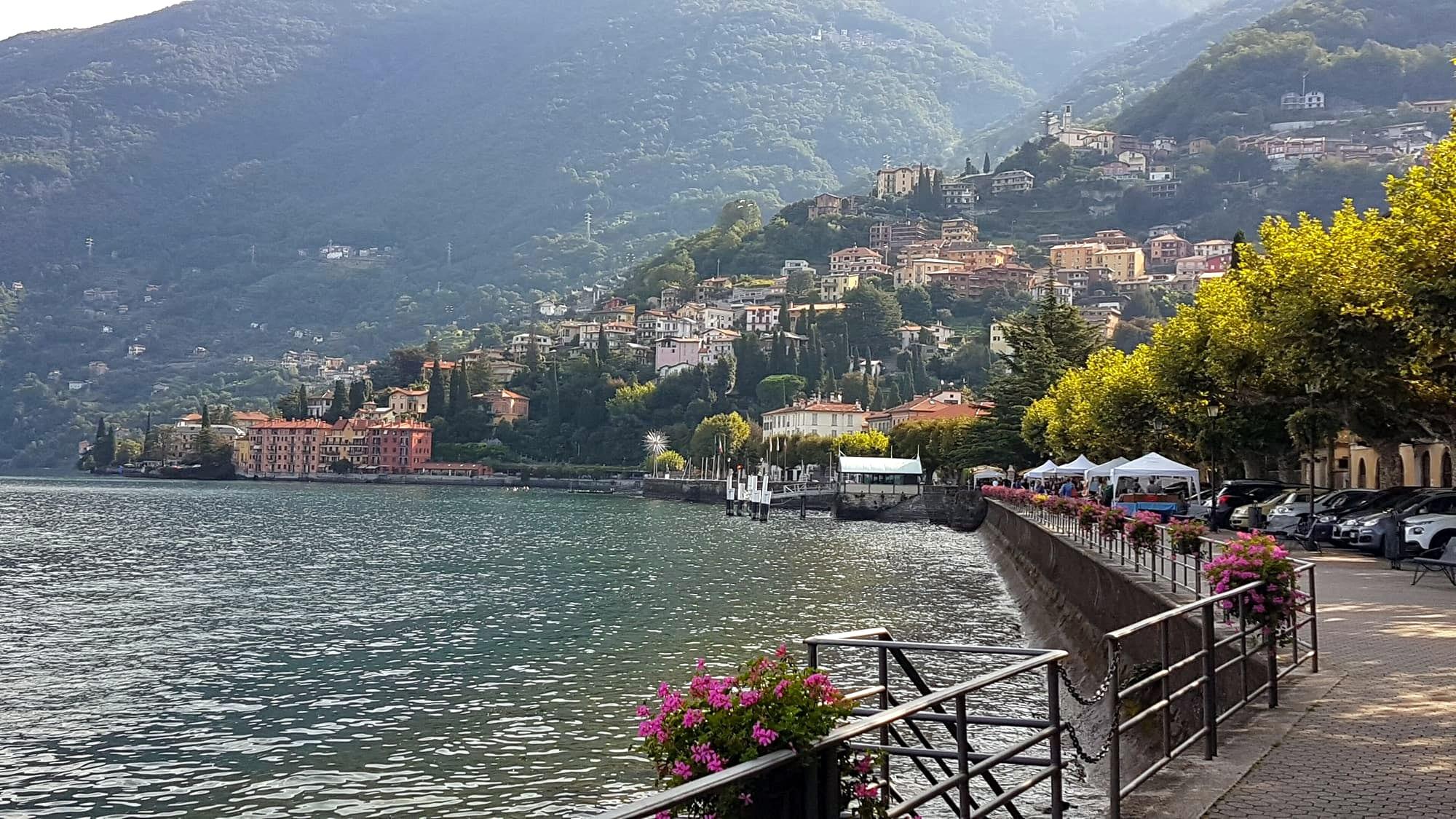
- لا روسا · CC BY-SA 4.0
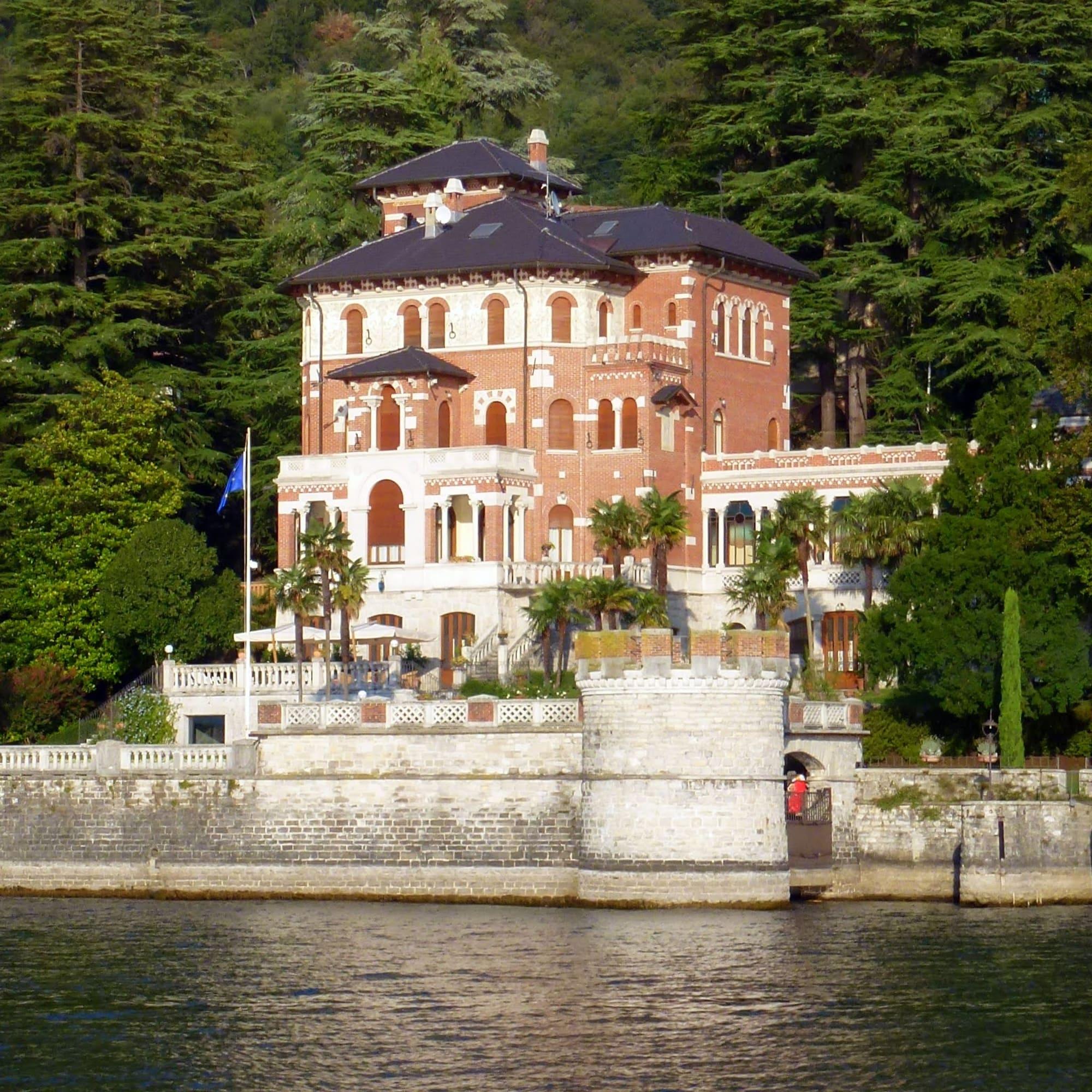
- Manulela85 · CC BY-SA 4.0
The place
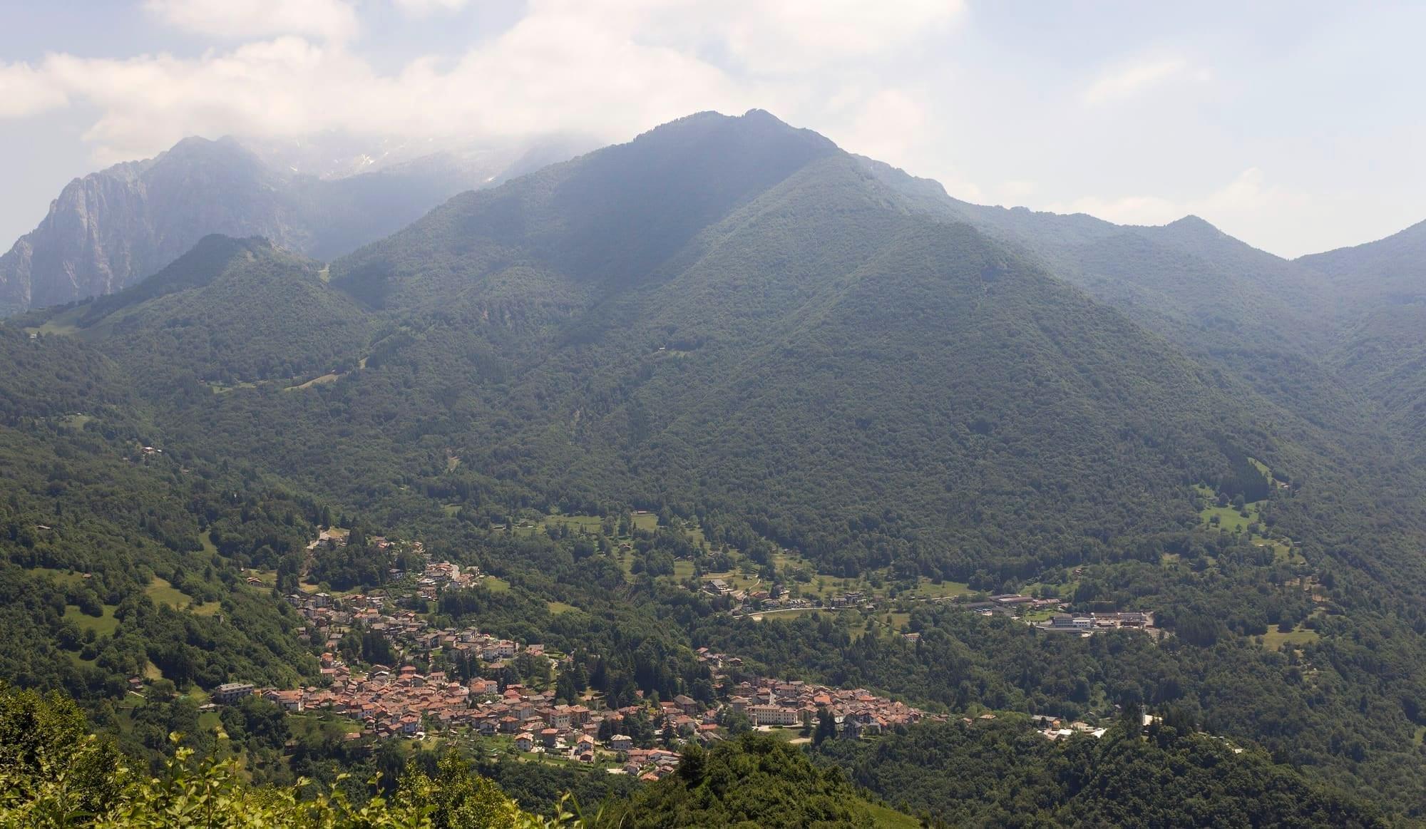
Esino Lario lies at 910 metres, twelve kilometres of hairpin bends above Varenna. In June 2016 the village hosted Wikimania, the Wikimedia community's annual conference.
It is a base for hikes on the northern Grigna: beyond the village, the road climbs to the Cainallo, where paths lead to the mountain huts and the summit.
Esino Lario lies at 910 metres, twelve kilometres of hairpin bends above Varenna. In June 2016 the village hosted Wikimania, the Wikimedia community's annual conference.
Read on
It is a base for hikes on the northern Grigna: beyond the village, the road climbs to the Cainallo, where paths lead to the mountain huts and the summit.
At nine hundred metres
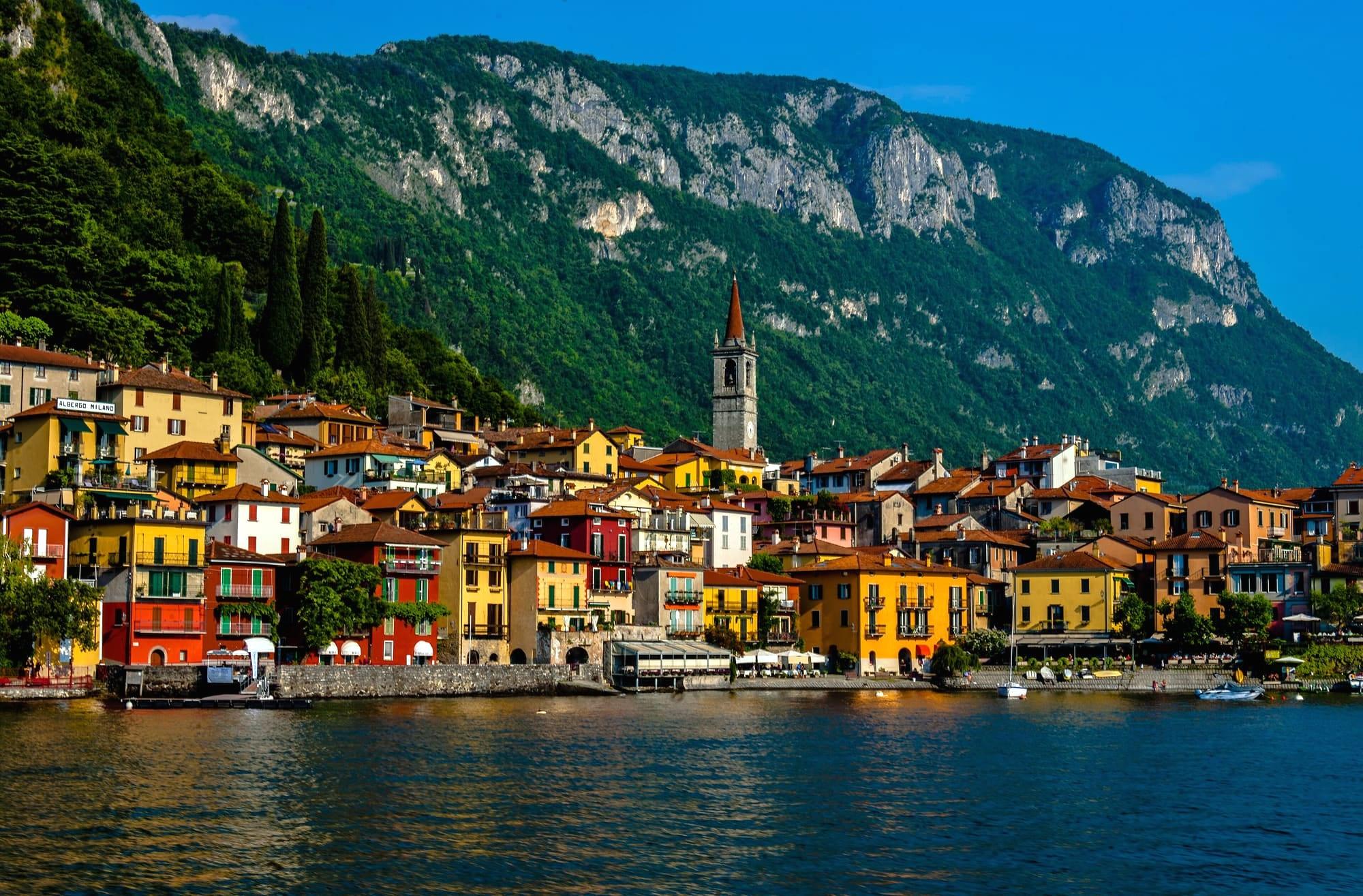
Esino Lario sits at 910 metres in the Val d'Esino, below the northern Grigna. From Varenna's waterfront it is twelve kilometres of hairpins and about seven hundred metres of climb: in summer the air is cooler, and you see the lake from above.
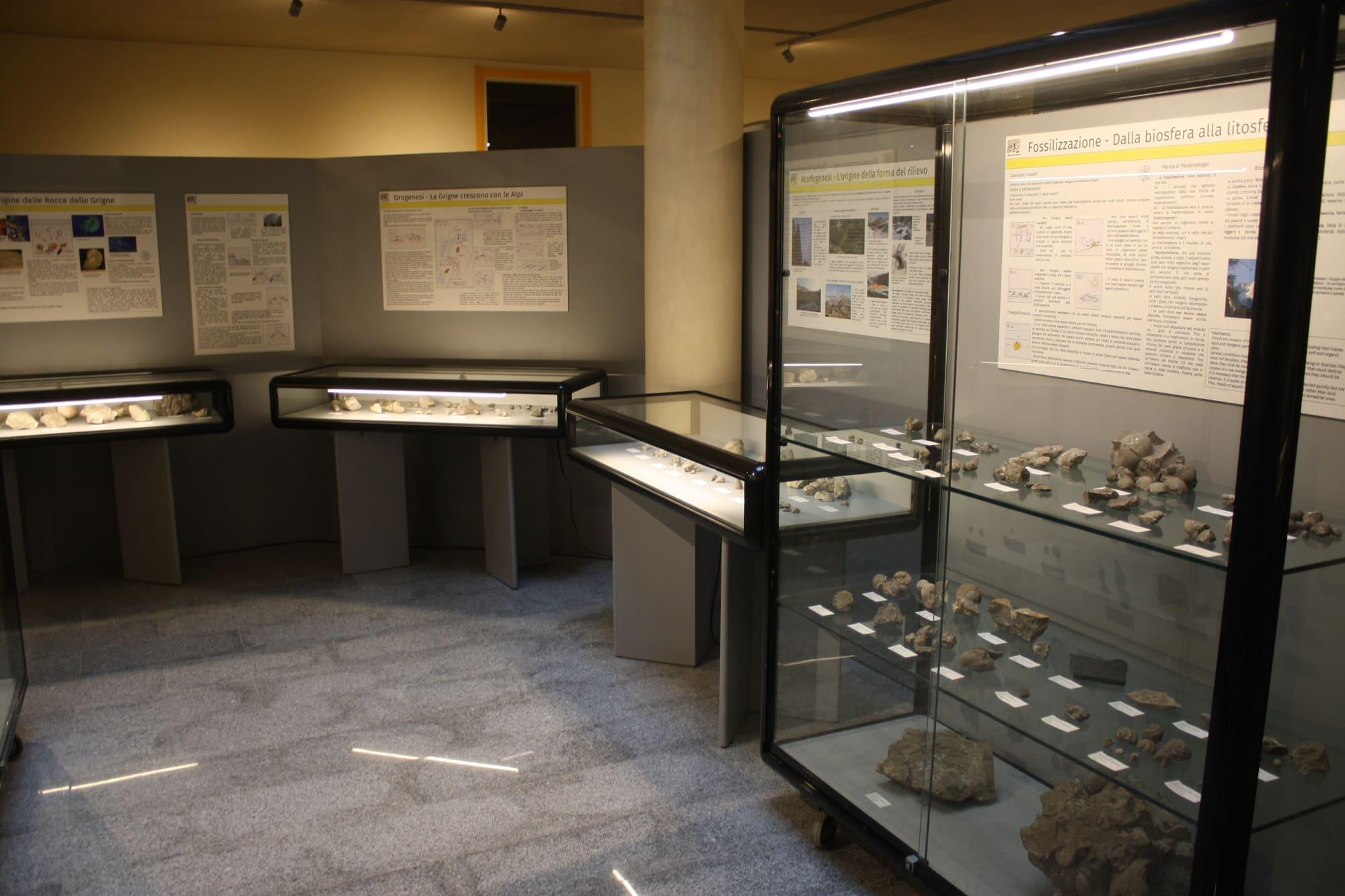
The comune was formed in 1927 by joining Esino Superiore, with its church of Sant'Antonio Abate, and Esino Inferiore, with that of San Giovanni Battista. It is the only comune lying wholly within the Parco regionale della Grigna Settentrionale. The village has the parish church of San Vittore and the Museo delle Grigne, housed since 2016 in the park of Villa Clotilde.
History
Graves found at Esino show that Celtic peoples lived here between the ninth and first centuries BC. The grave goods include brooches, bracelets, pottery and weapons, and the warriors' swords were bent so that no one could use them again. The Romans left burials with fourth-century coins. In the thirteenth century Esino's church depended on the pieve of Varenna, and in 1455 it became a parish.
The village's woods supplied the charcoal that fed the iron furnaces of the Valsassina. From the 1850s the priest and geologist Antonio Stoppani studied the fossils of the Grigne, and at the end of the century the first summer visitors arrived. From the 1960s tourism became one of the village's main activities.
Tapestries, a museum and Wikimania
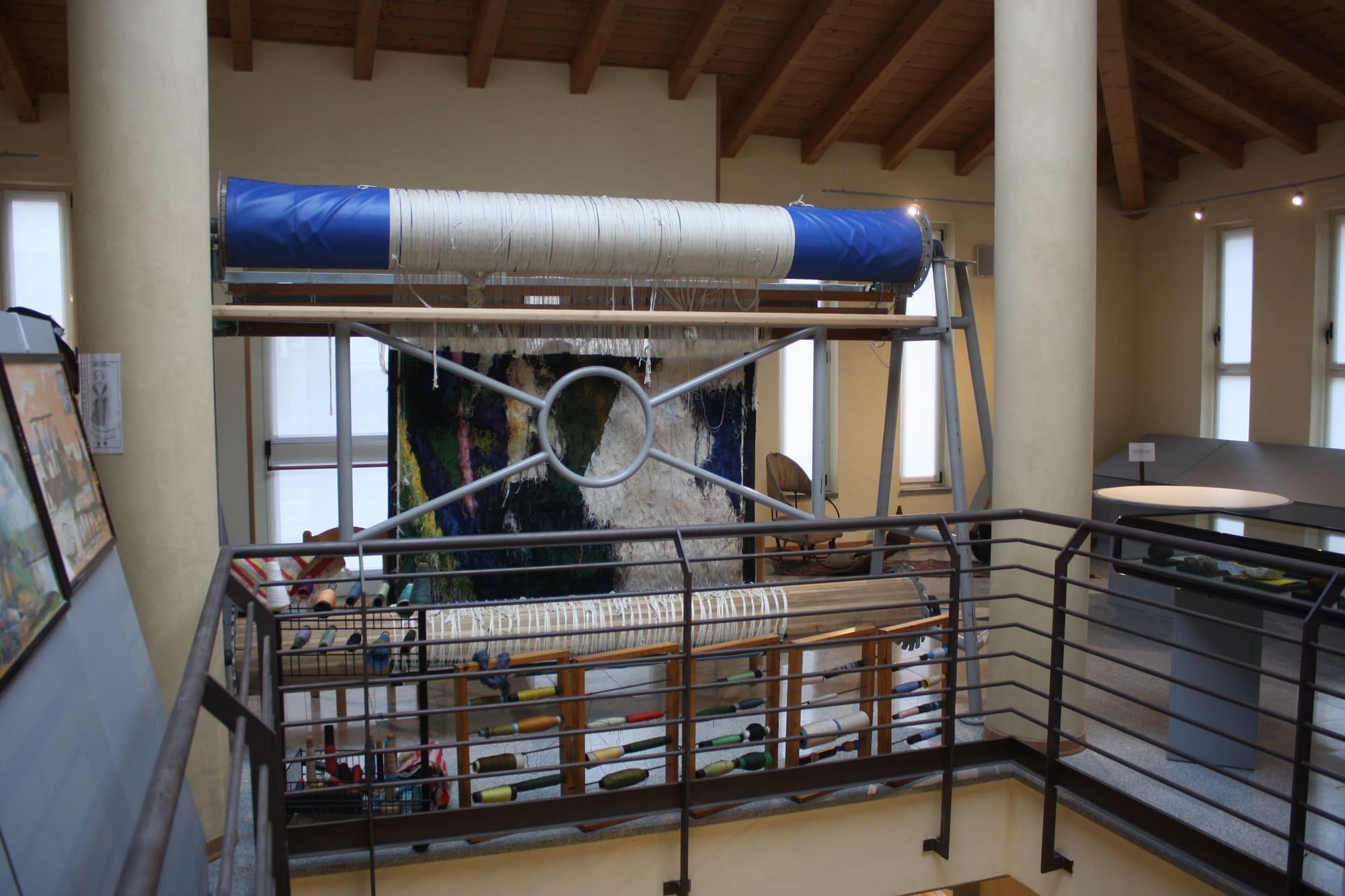
In 1936 the parish priest, Don Giovanni Battista Rocca, founded a tapestry school to give work to the village girls and keep them from leaving for the city. Esino tapestries had a warp of fine hemp and a weft of silk dyed on the spot. The school won awards at the Milan Triennale and closed in 1962. In 1947 Don Rocca also founded the Museo delle Grigne, which the engineer Pietro Pensa installed on the village square in 1959.
In June 2016 Esino hosted Wikimania, the world conference of the Wikimedia community: almost 1,400 people came from more than seventy countries. The Museo delle Grigne has a section on the event.
The churches
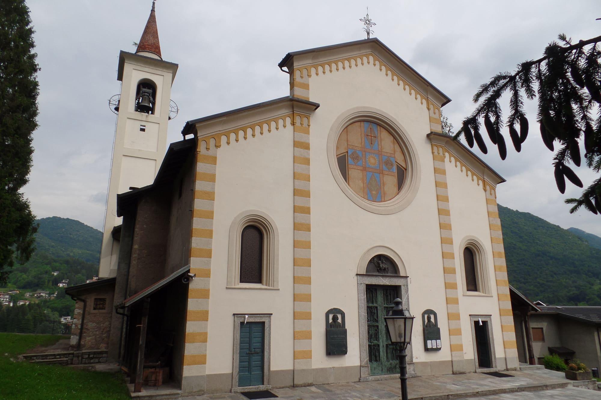
The parish church of San Vittore stands on a rocky spur among the firs, approached by a Way of the Cross whose bronze stations are by the sculptor Michele Vedani. The church was enlarged several times from 1520 onwards. Inside are Baroque carvings that tradition attributes to Giovanni Maglia, a craftsman from Esino, a gilded wooden lintel of 1654 and two tapestries from the village school. San Vittore is Esino's patron saint, celebrated on 8 May.
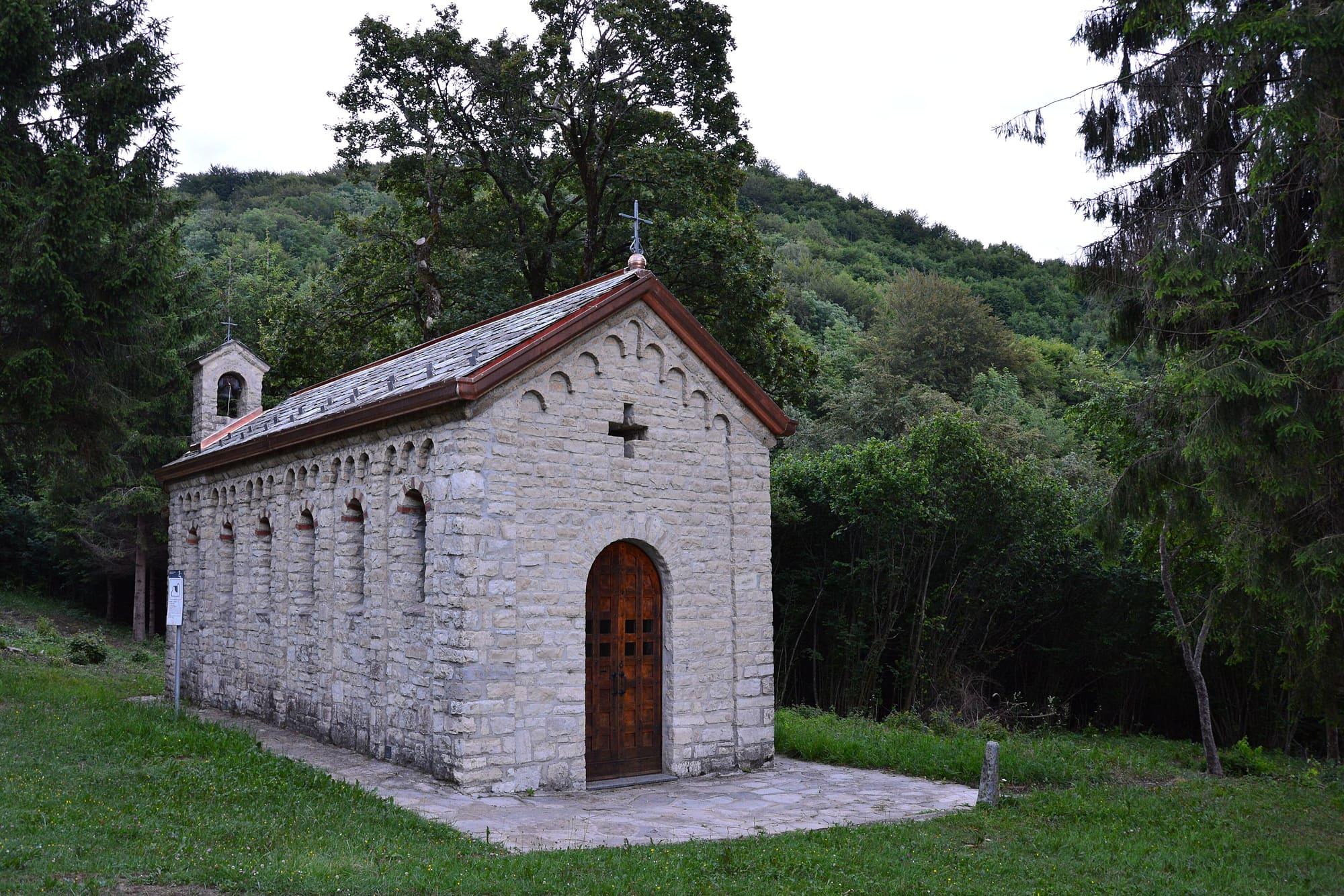
At Ortanella, nearly a thousand metres up above Varenna, the little Romanesque church of San Pietro, recorded in the thirteenth century, stands in a meadow beside the mule track between Esino and Lierna. The old road of the eastern shore ran this way, avoiding the cliffs that drop sheer into the lake between Mandello and Bellano.
The Grigna and the Cainallo
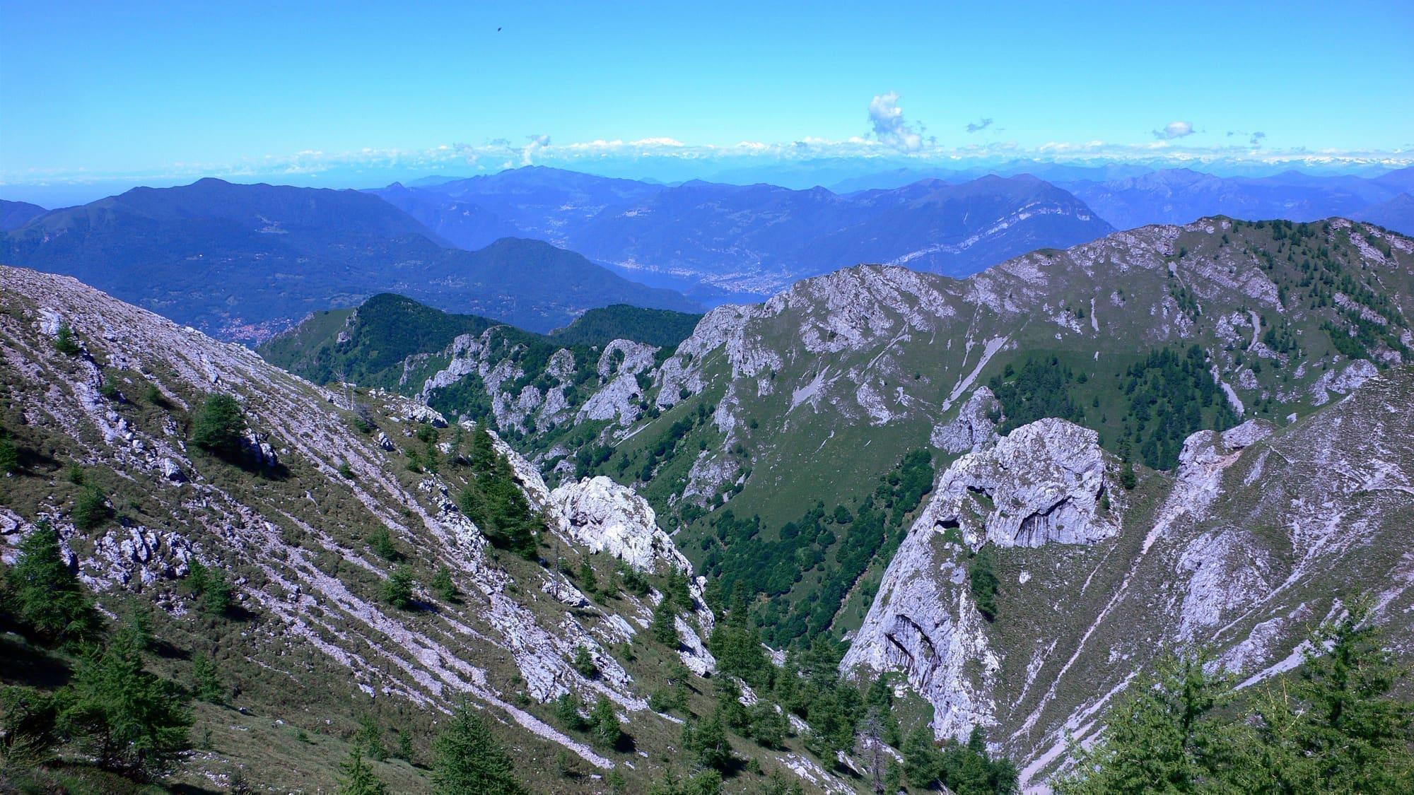
Beyond the village the road climbs on to the Cainallo, at around 1,250 metres. From there the path leads to the huts and the northern Grigna: it is the shortest access from this side of the lake. Mountain boots are needed, because the Grigna's paths cross limestone with exposed stretches, and the weather at altitude can turn quickly. There are easier paths around the village too.
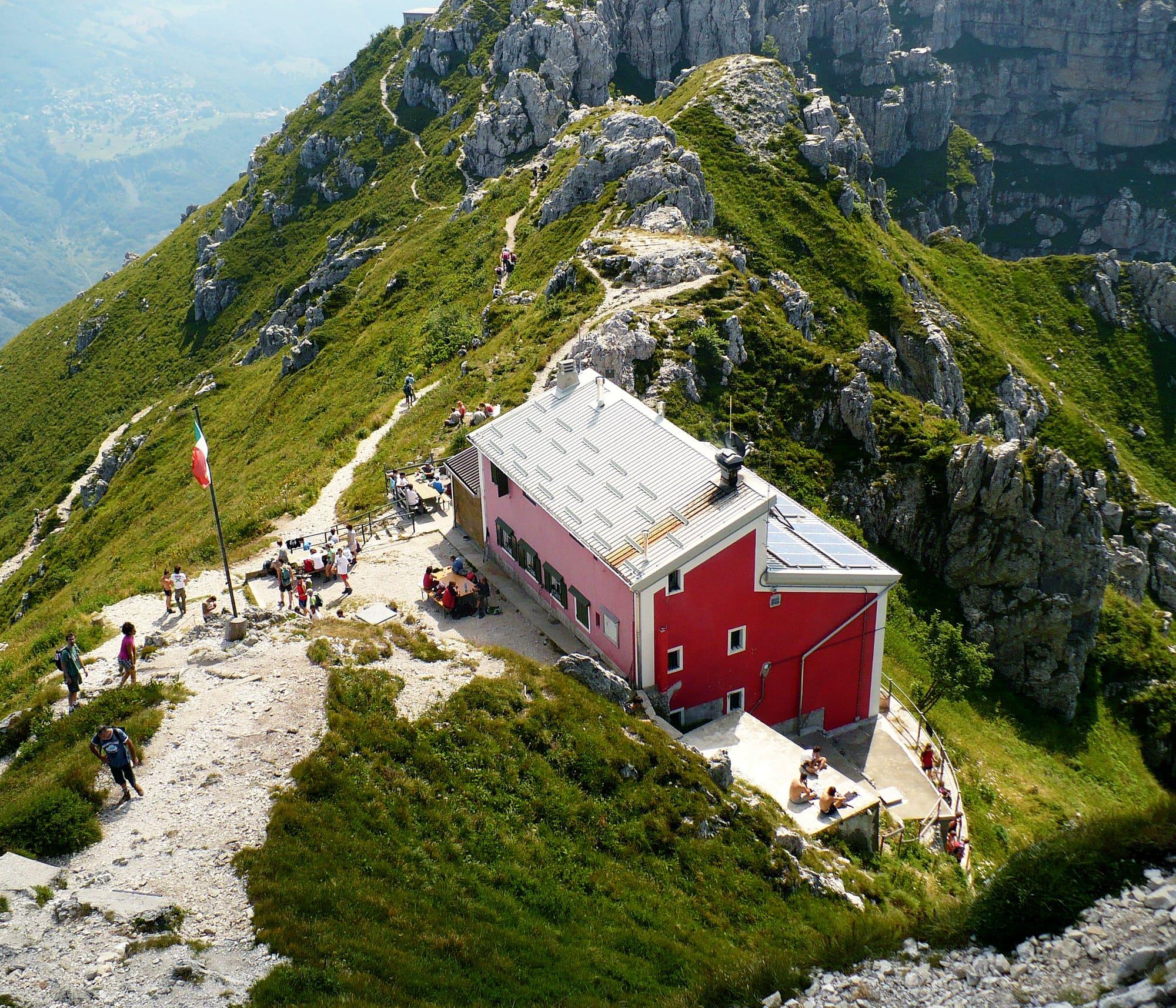
Much of the Grigne is made of a rock called Esino Limestone, formed in the Middle Triassic in a shallow tropical sea. The Moncodeno basin holds hundreds of caves, and some are more than a thousand metres deep. Here the Monza section of the Italian Alpine Club opened the Capanna Monza in 1906; destroyed in 1944, it was rebuilt after the war as the Rifugio Bogani.
Events
See allThings to see
Experiences
Lecco Branch
Grigna and the Piani Resinelli
The Grignetta and the Piani Resinelli above Lecco: walks, via ferrata and climbing.
5 h – 9 h5.5 km · +1014 mCar needed
Centro Lago
Refuges and ridges
Refuges that cook, above the lake: the Rifugio Menaggio, at 1,383 metres, is an hour and three quarters' walk from Breglia.
4 h – 7 hCar needed
Events
Before you go
How long it takes
- from Milan1 h 40Train, then bus
- from Como2 h 05Fast service, then boat, then bus
- from Lecco1 h 10Train, then bus
Typical door-to-door times by public transport, changes included. From Milan, counted from Centrale station.
Tourist office
Ufficio turistico
+39 334 1581114Open the siteopens in a new tabOn the map
Updated: 14 Sept 2026 · OpenStreetMap.
Parking and services
- Piazzale soldato Mario Nasazzisurface · 19 spaces · free
- PARK fronte Montaninasurface · 15 spaces · free
- Park via dei bacisurface · 7 spaces · free
- Dei Roncheisurface · 6 spaces · free
1 public toilet20 drinking fountains1 pharmacy2 cash machines1 charging point1 defibrillator
Car parks and services on the map
Within two and a half kilometres of the centre; check car park spaces and fees on arrival.
How do I reach Esino without a car?
By the bus from Varenna, a few runs a day climbing the twelve kilometres of hairpins in thirty-five to forty minutes: check the timetable first, and above all the time of the last run down. With a rucksack you can also walk up from Varenna by the mule track, two and a half hours of steady climbing.
How long is the Grignone from the Cainallo?
From the Vò di Moncodeno car park above the Cainallo, at about 1,440 metres, the ascent to Rifugio Brioschi on the summit at 2,410 metres takes about four hours via Rifugio Bogani and the Via della Ganda, path 25. The ascent is about a thousand metres. The route requires hiking experience and has exposed stretches in the final section.
- Area
- The Lecco Branch
- Population
- 760
- Elevation
- 910 m
Updated 23 October 2026
The mountains around the village hide the sun before astronomical sunset: sunrise and sunset are worked out on the village's own horizon.
Today, 1 November, estimated sunlight at the reference point: first at 08:52 and last at 16:27, giving 7 h 36 of direct sun, out of 10 h 06 of daylight.
Today the sun arrives between 08:28 and 09:34 and leaves between 16:15 and 16:36, depending on the street.
JuneDecembertoday
Watch the shadow reach Esino Lario today
See from Esino Lario where the sun goes, in 3D
The sun at an exact spot in Esino Lario: your hotel, a beach, a street
The highest summit in view from here is Pizzo della Pieve, 2257 m, 6 kilometres away.
- Cima di Dasio, 1510 m, 2 km
- Cima di Cavedo, 1504 m, 2 km
- Pizzo di Zirlaca, 1408 m, 2 km
- Pizzo dei Cich, 1454 m, 2 km
- Dosso della Chierica, 1253 m, 2 km
- Cimone, 1496 m, 3 km
- Pizzo della Pieve, 2257 m, 6 km
- Monte Croce, 1780 m, 3 km
- Monte Saetta, 1627 m, 2 km
- Sasso di Petua, 1404 m, 2 km
- Sasso del Monte Cucco, 1347 m, 3 km
- Monte Parolo, 1203 m, 2 km
- Monte di Tremezzo, 1699 m, 12 km
- Monte Pola, 1742 m, 38 km
- Il Torrione, 1806 m, 21 km
- Monte Cucco meridionale, 1624 m, 22 km
- Monte Pidaggia, 1528 m, 15 km
- Monte San Defendente, 1326 m, 2 km
The ochre line follows today's sun path and marks the estimated times of its first and last appearance above the mountains. Drag the panorama to see all of it.
How it is drawn
Paler ridges are farther away; heights are stretched two and a half times. Houses are not drawn, nor are trees within half a kilometre. Terrain © Regione Lombardia (CC BY 4.0); summits © OpenStreetMap contributors.
Does it make sense to sleep at Esino?
Yes, for those setting out from the village towards the Cainallo and the Grigna. Staying in Esino allows you to make the journey up from the lakeshore on a separate day from the hike.
On the map
What is around, and how far.
© OpenStreetMap contributors · ODbL
Nearby
Typical door-to-door times.
Sources and credits
- Maps, parking, services and distances: © OpenStreetMap contributors (ODbL).
- Freely licensed photographs: authors and licences under Photograph credits.
Sources and credits
- Maps, parking, services and distances: © OpenStreetMap contributors (ODbL).
- Freely licensed photographs: authors and licences under Photograph credits.