Trails
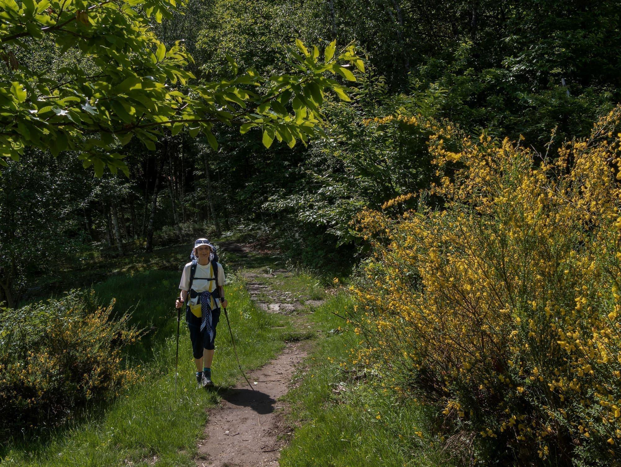
One stage of the Sentiero del Viandante
Start at one station, walk above the lake, come back from another.
8.0 km
Centro Lago
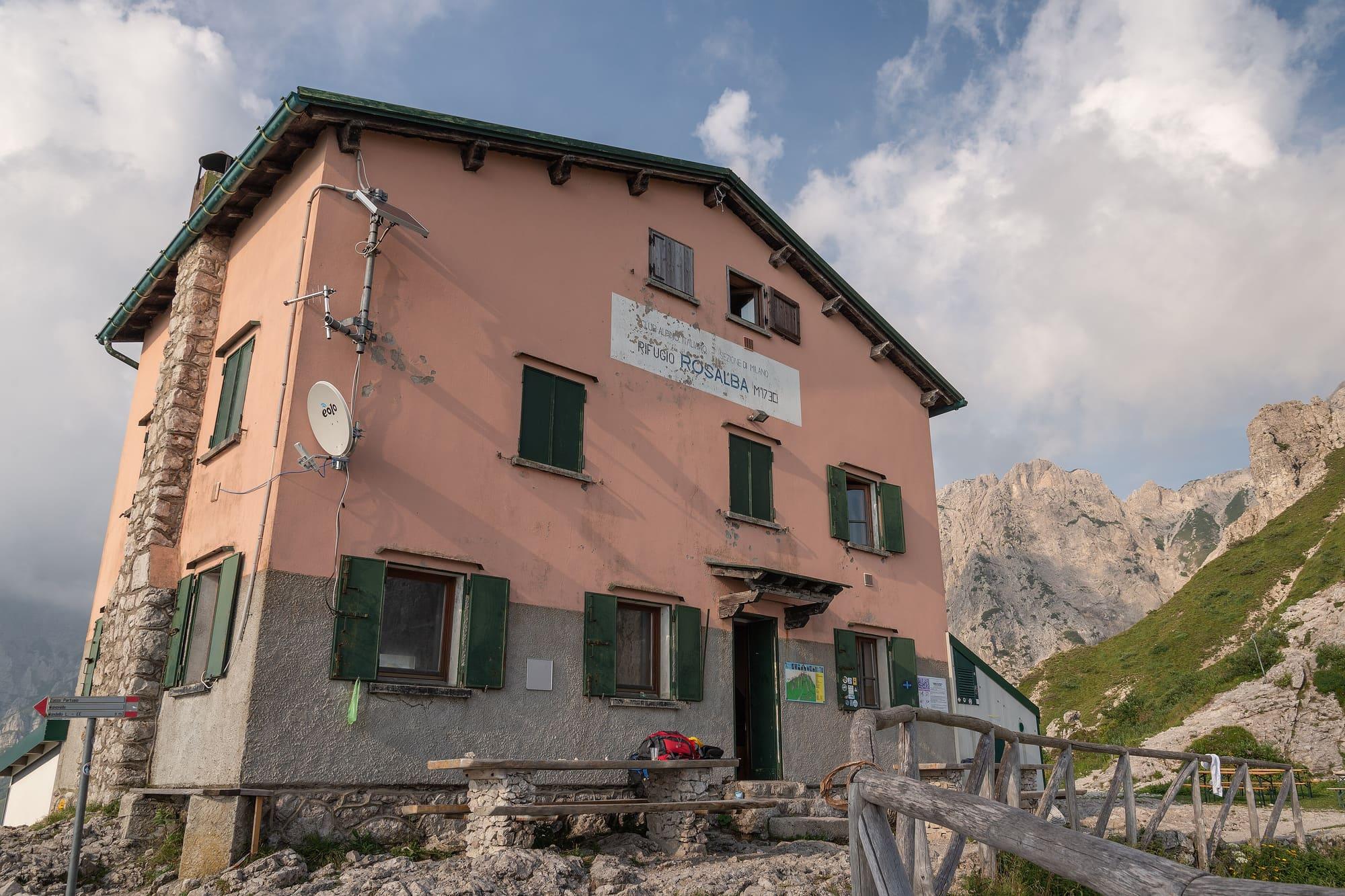
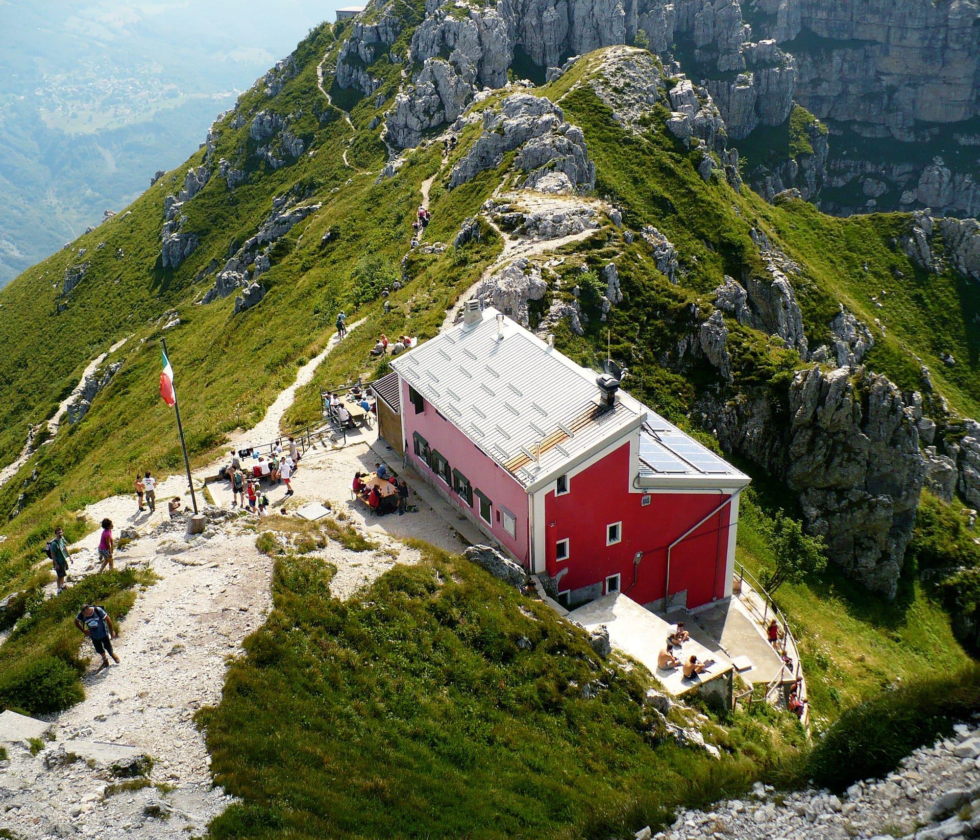
Refuges that cook, above the lake: the Rifugio Menaggio, at 1,383 metres, is an hour and three quarters' walk from Breglia.
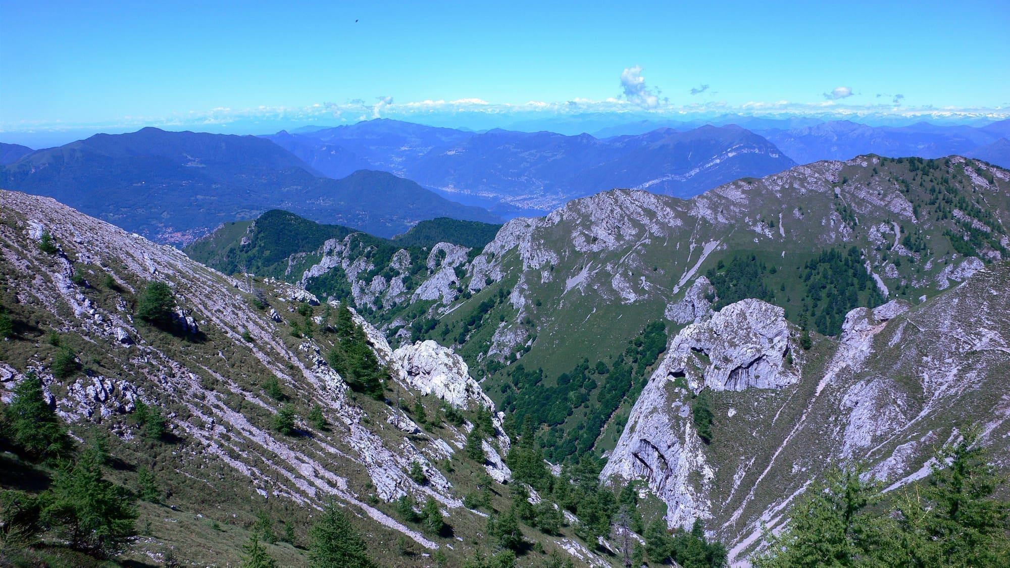
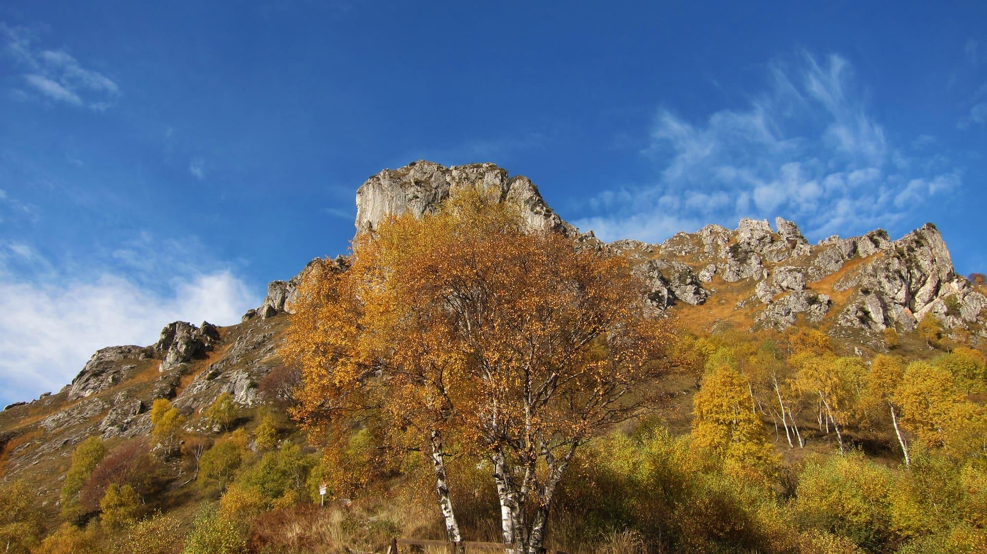
The mountains start immediately above the lake: Monte Grona above Menaggio, San Primo above Bellagio, the Grigna above Mandello.
The refuges are open for most of the year, they cook, and many are a couple of hours from a point served by public transport.
WhereMenaggio · Bellagio · Lecco · Mandello del Lario
Length, climb, altitude and walking time calculated on the path's track. The track runs from Brunate to Bellagio.
CAI gradeE · hiking: real path, steep stretches
At Bellagio, where the stage ends, the sun goes behind the ridge today at 16:44.
Start0.2 km from the Como–Brunate FunicularEnd0.4 km from San Giovanni pier
Trail status
No closures reported by the trail managers; last checked on 1 October 2026. Ordinances and landslides can close a path without warning.
Notices from the managers: CAI Como
Track © OpenStreetMap contributors (ODbL); heights from Terrain Tiles (SRTM/EU-DEM). Time follows the DIN 33466 rule (4 km/h, 300 m/h up, 500 m/h down), without stops. The profile is exaggerated vertically. Sources: OpenStreetMap · Terrain Tiles
© OpenStreetMap contributors · ODbL