Skip to content

Lecco Branch

The Rifugio Rosalba by the Sentiero delle Foppe

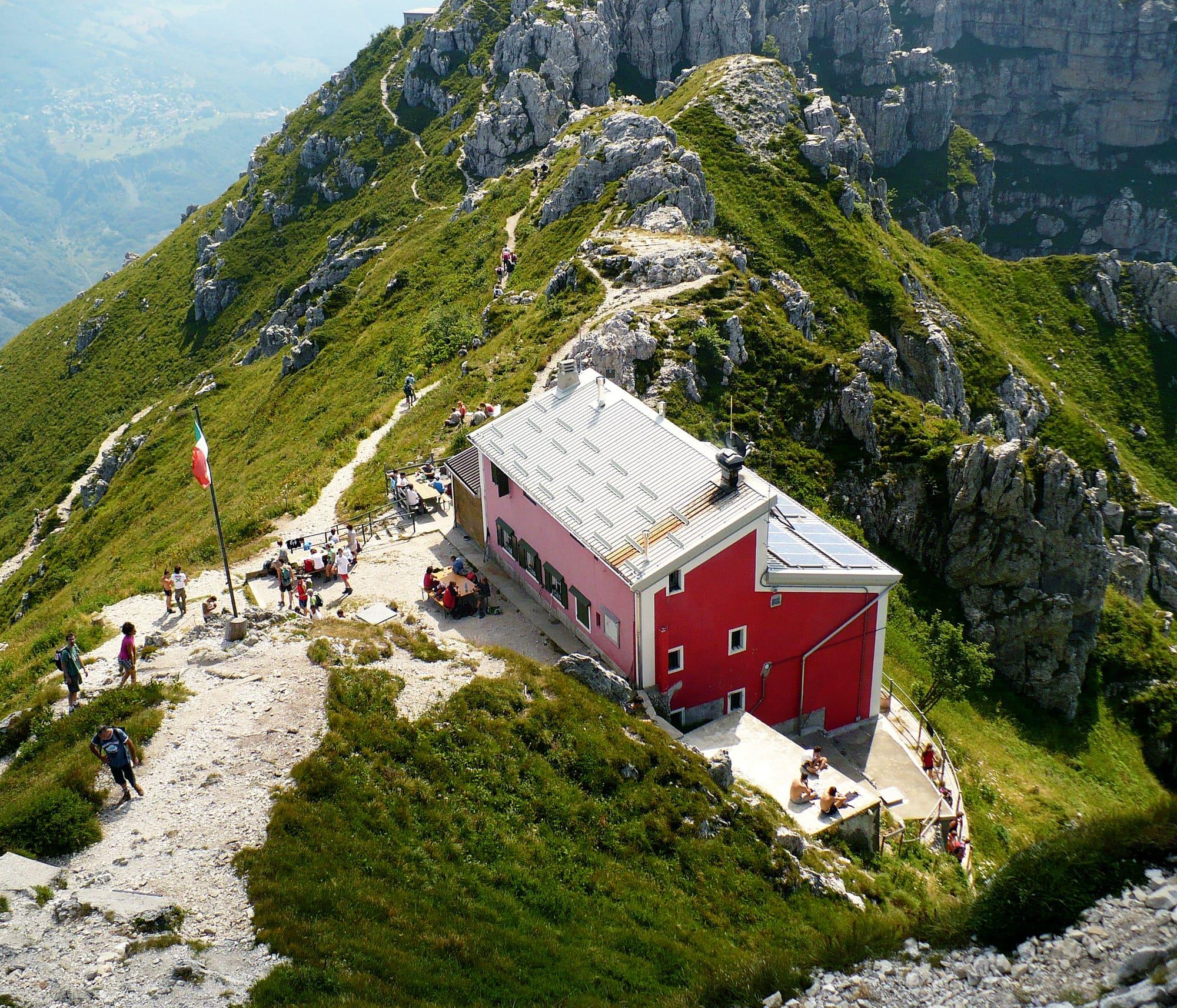
The CAI Milano's pink hut at 1,730 metres on the Grignetta, among the spires above Mandello: from the Piani Resinelli by path 9, the Sentiero delle Foppe, in about two hours.

Duration
3 h 30 – 5 h 30
Effort
Moderate
Access
Open to all
Car-free
Needs a car
With children
Not ideal
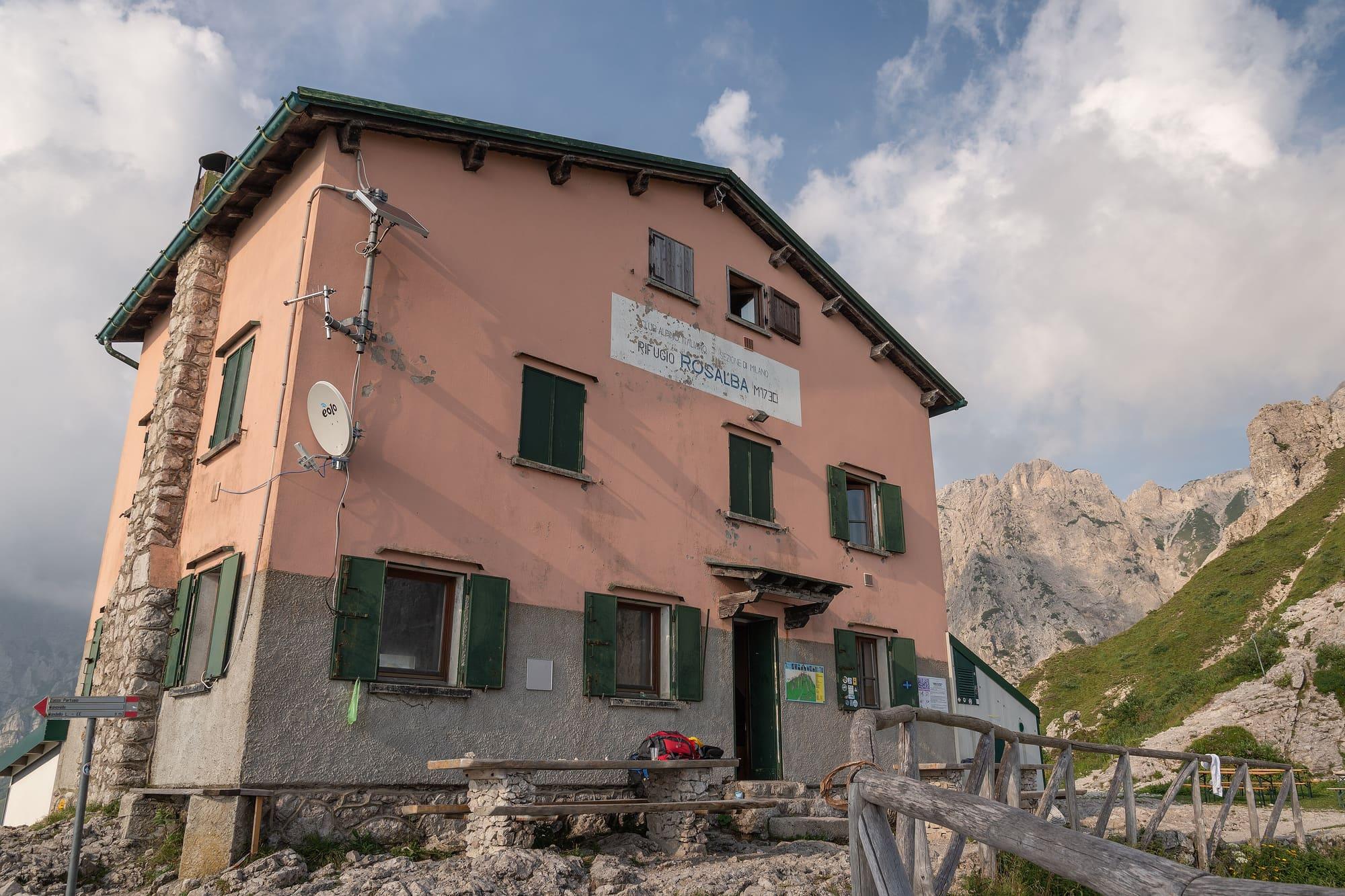
The refuge's pink front with green shutters and the words Rifugio Rosalba, and behind it the limestone spires of the Grignetta.Giorgio Galeotti · CC BY 4.0
  • Giorgio Galeotti · CC BY 4.0
  • Kaitu · CC0
  • Kaitu · CC0

1 / 4

The refuge's pink front with green shutters and the words Rifugio Rosalba, and behind it the limestone spires of the Grignetta.

Giorgio Galeotti · CC BY 4.0

How it works

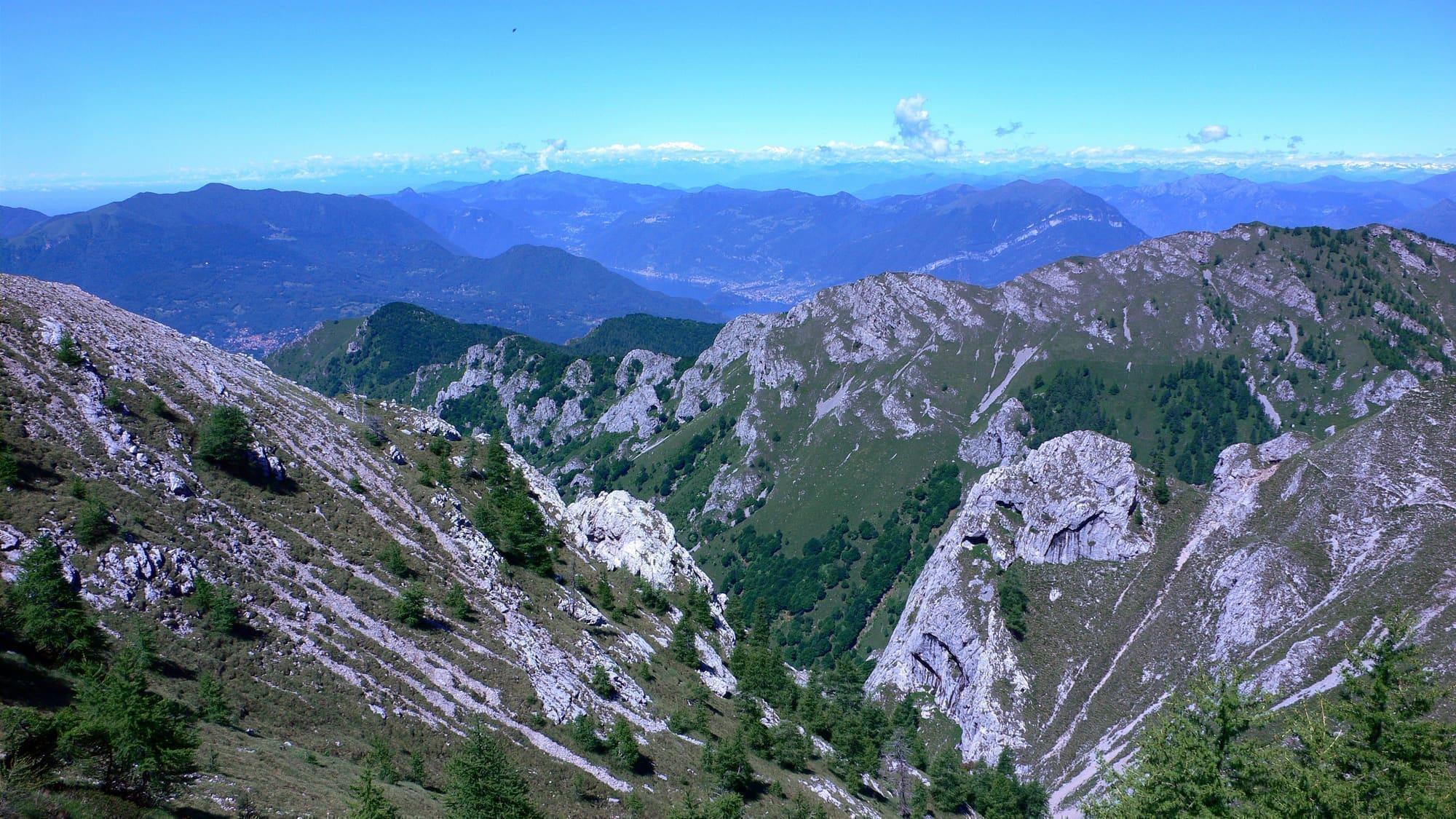
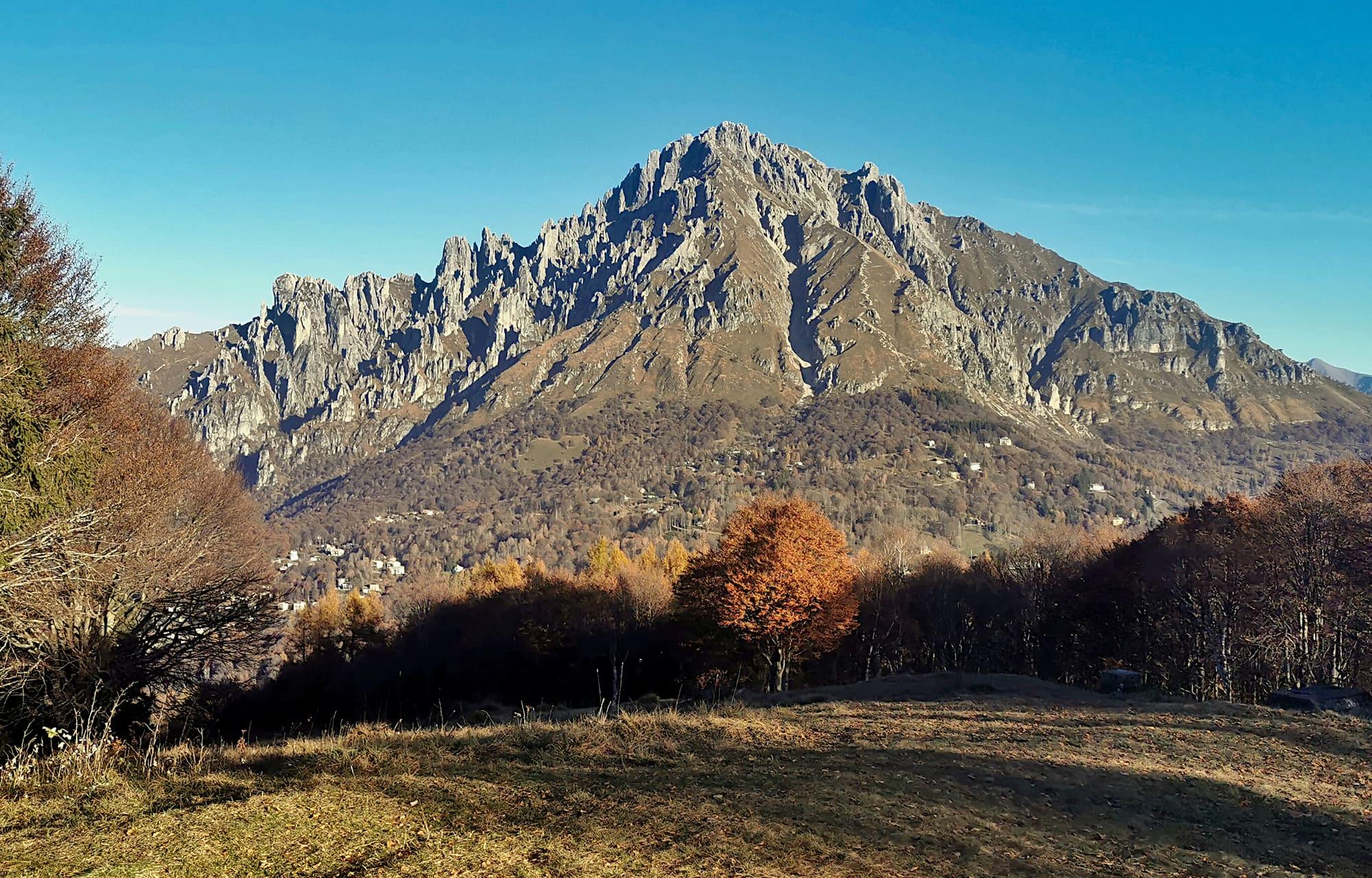
The Rifugio Rosalba stands at 1730 metres on the western ridge of the Grigna Meridionale, the Grignetta, at the foot of the Segantini ridge, between the Val Monastero and the Val Scarettone, where the third stage of the Alta Via delle Grigne ends. It belongs to the Milan section of the CAI. In 1905 the member Davide Valsecchi, later the section's president, had a small wooden hut built here and named it after his daughter Rosalba; today's refuge opened in 1955. Facing it rise the Torre Cecilia and the Torrione del Cinquantenario, which appear in a drawing by Leonardo da Vinci on a sheet of the Windsor codex, dated between 1505 and 1510. Dino Buzzati spent two nights here in October 1923. The shortest way starts from the Piani Resinelli at the end of Via del Ram, on waymark 9, and also suits those going up the Grignetta for the first time: it begins on the level through the beech wood, with the spires ahead; at the fork you leave the Sentiero dei Morti on your right and carry on along the Sentiero delle Foppe, which grows steadily steeper and harder among grassy slopes and rock towers, up to the refuge. From there the view runs from the lake to the chain of the Alps, as far as the Gran Paradiso, the Monviso and Monte Rosa.

  1. Past the large car park at the Piani Resinelli, turn right at the far end and go down to the former Rifugio Alippi, at 1180 metres, where a sign marks the Sentiero delle Foppe, no. 9, waymarked red and yellow. It is a hiking path (E): about 600 metres of climb and two to three hours to the refuge.
  2. The refuge has 46 beds. Check opening arrangements with the manager and book your overnight stay before setting off.
  3. From the refuge, experienced hikers go on to the summit of the Grignetta by the Sentiero Cecilia (EE), past the Colle Valsecchi, or return to the Rifugio Porta by the Direttissima (EE), fitted with chains and metal ladders.
  4. From Mandello del Lario path 12 climbs from Maggiana or Rongio, and path 13 from Rongio; path 13B, by the Zucco di Manavello, is for experienced hikers only, and all these paths are demanding. The loop from Rongio, up path 13B over exposed stretches fitted with chains and down path 12, is about 12 kilometres long, with 1350 metres of climb and six hours' walking.
  5. The Piani Resinelli are reached from Ballabio by the road of fourteen hairpins.

WhereMandello del Lario · Abbadia Lariana

On the map

Explore the lake
Mandello del LarioAbbadia LarianaThe Rifugio Rosalba by the Sentiero delle Foppe

© OpenStreetMap contributors · ODbL

Nearby: places, experiences, services

Sources and credits

Sources and credits