Skip to content

Lecco Branch

The Grignetta from the Piani Resinelli

The Grigna Meridionale, 2,184 metres between Lecco and Mandello: from the Rifugio Carlo Porta up the Cresta Cermenati to the Bivacco Ferrario on the summit; the Direttissima and the Sentiero Cecilia, with chains and ladders, are for experienced hikers.

Duration
5 h – 7 h
Effort
Demanding
Access
Open to all
Car-free
Needs a car
With children
Not ideal
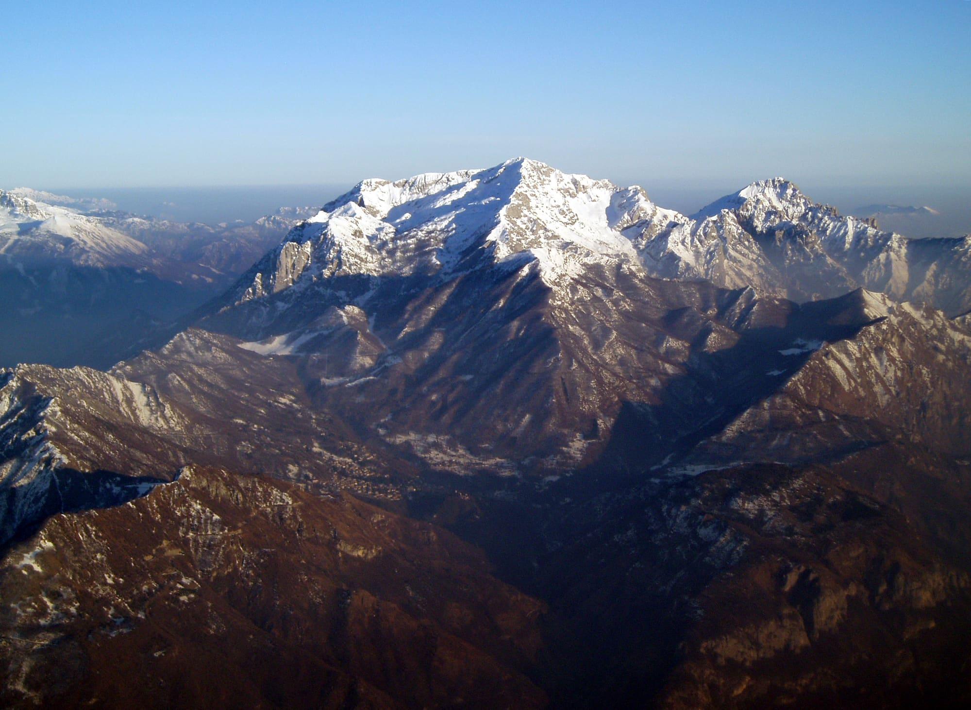
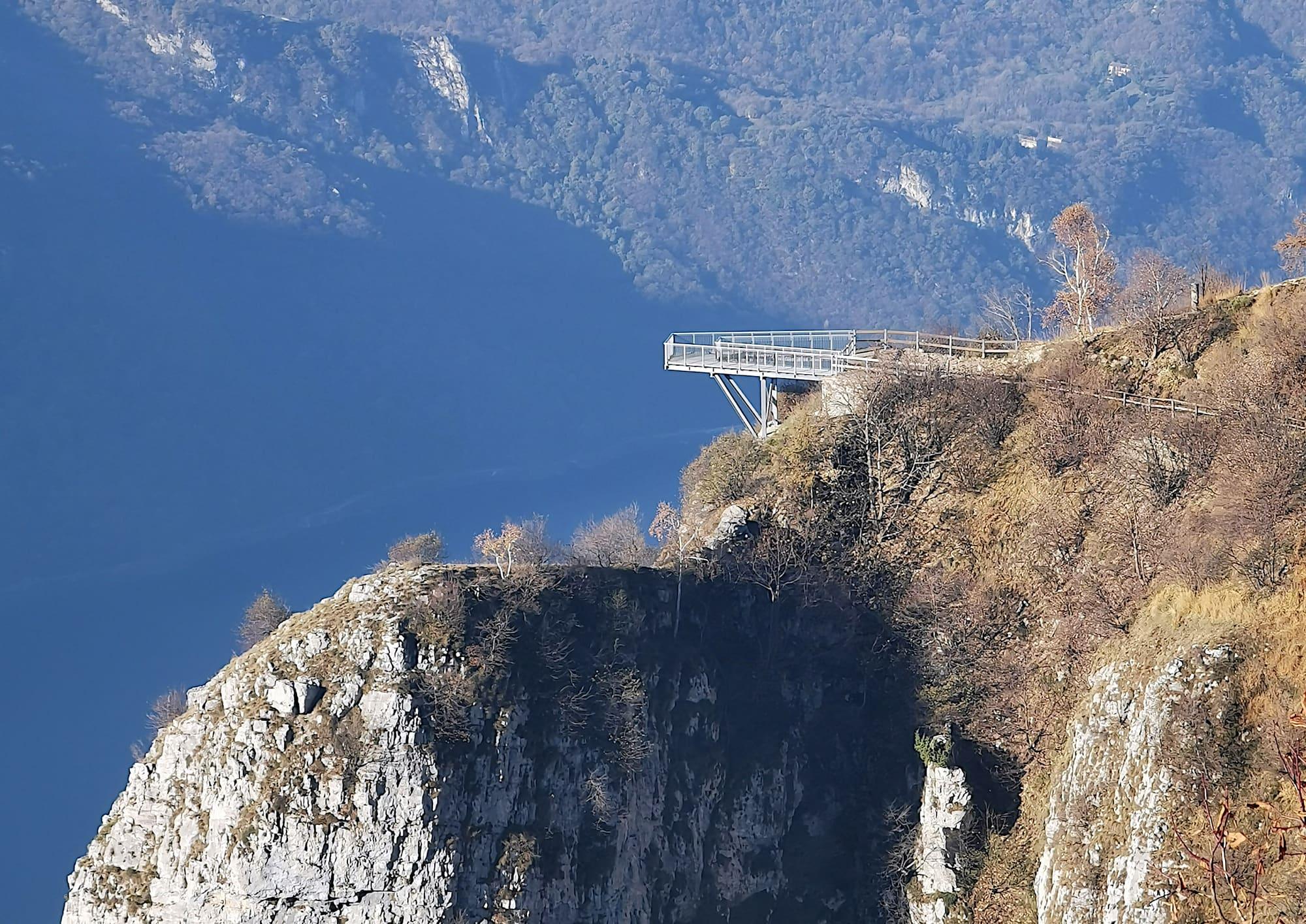
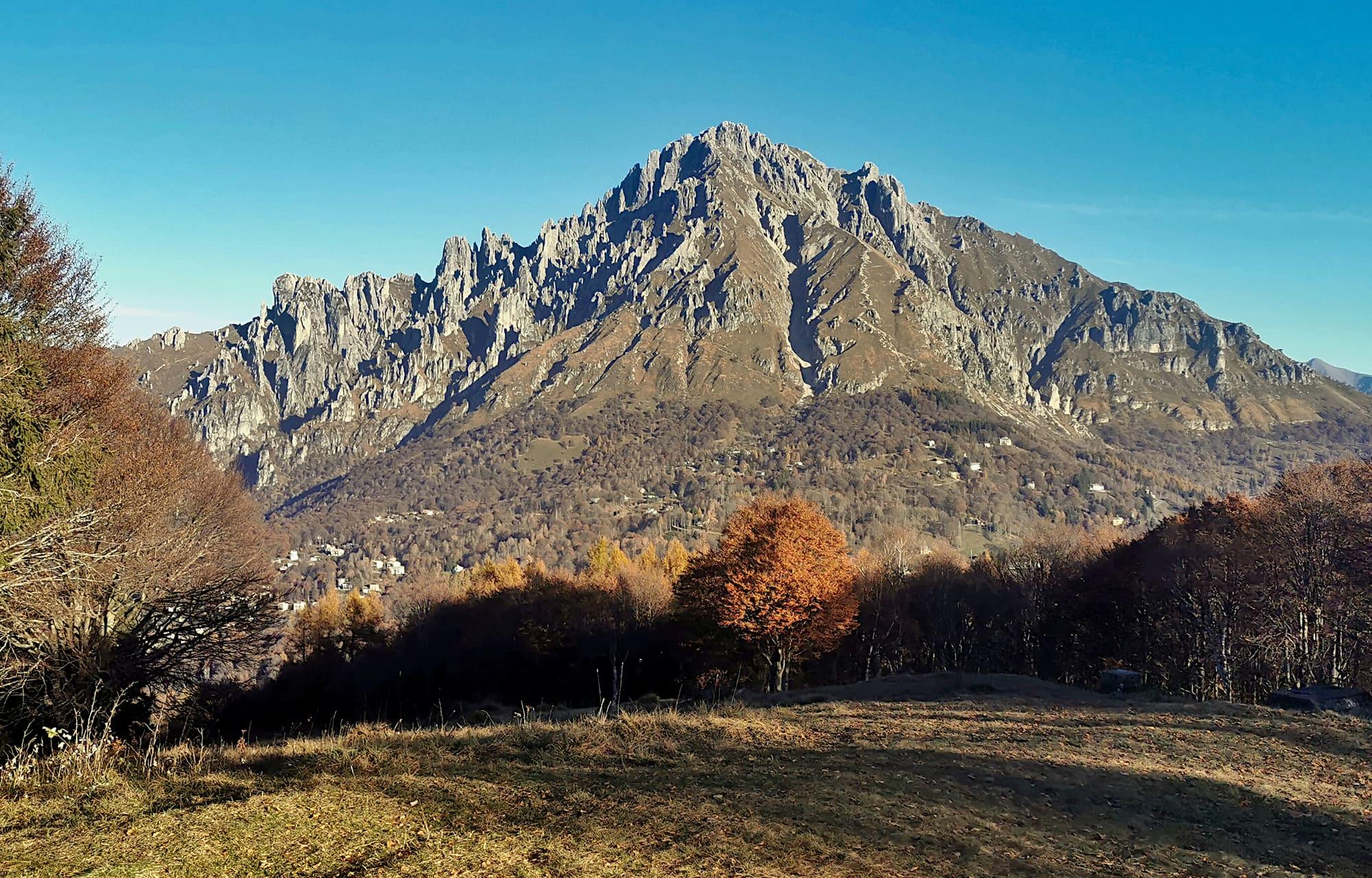
The south face of the Grignetta in autumn, with its row of limestone spires, seen from the path to the Coltignone viewpoint: below, the woods and houses of the Piani Resinelli.Kaitu · CC0
  • Maupao70 · CC BY-SA 4.0
  • David morelli photo · CC BY-SA 4.0
  • Luca Casartelli · CC BY-SA 2.0

1 / 4

The south face of the Grignetta in autumn, with its row of limestone spires, seen from the path to the Coltignone viewpoint: below, the woods and houses of the Piani Resinelli.

Kaitu · CC0

How it works

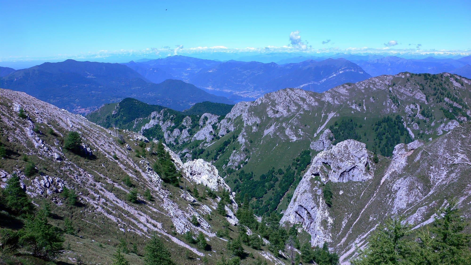
The Grigna Meridionale, which everyone calls the Grignetta, is the lower of the two Grigne: its towers, monoliths and spires have made it a climbing ground, linked to the names of Riccardo Cassin, Emilio Comici and Walter Bonatti. The summit, between 2177 and 2184 metres high, lies in the comune of Mandello del Lario. The southern face looks over the Piani Resinelli and Lecco, the northern side joins the Grigna Settentrionale; between them run the Segantini ridge, to the west, and the Sinigaglia ridge, to the east. On the top stands the Bivacco Ferrario, a small metal bivouac hut, octagonal and lined inside with wood and cork. The view opens above all over the Po plain and is closed to the north only by the bulk of the Grigna Settentrionale. The normal route is the Cresta Cermenati. From the Piani Resinelli it is ten or fifteen minutes to the Rifugio Carlo Porta; about ten minutes further through the woods, at a junction, you take path 7, which steepens as the trees thin out. At a second junction you leave on your right the track to the Torrioni Magnaghi and the Sigaro Dones; the path levels out for a while, then just below the summit it joins the Sentiero Cecilia for the last and hardest stretch, which ends with a section fitted with chains.

  1. The Cresta Cermenati is the only way up at hiking grade (E), with a few easy rock steps. The other routes include paths for experienced hikers and rock climbs. Steep and tiring, it climbs about 880 metres in two to three hours from the Piani Resinelli; from the Rifugio Porta, path 7 measures 6.5 kilometres with 850 metres of climb.
  2. The Direttissima, path 8, leaves the Rifugio Porta and crosses the southern face from east to west to the Colle Valsecchi: it is for experienced hikers (EE), partly fitted with chains and metal ladders; it climbs towards the Canalone Caimi and gets past the Canalino Pagani on fairly exposed ladders and chains. It is 600 metres of climb, two to three hours.
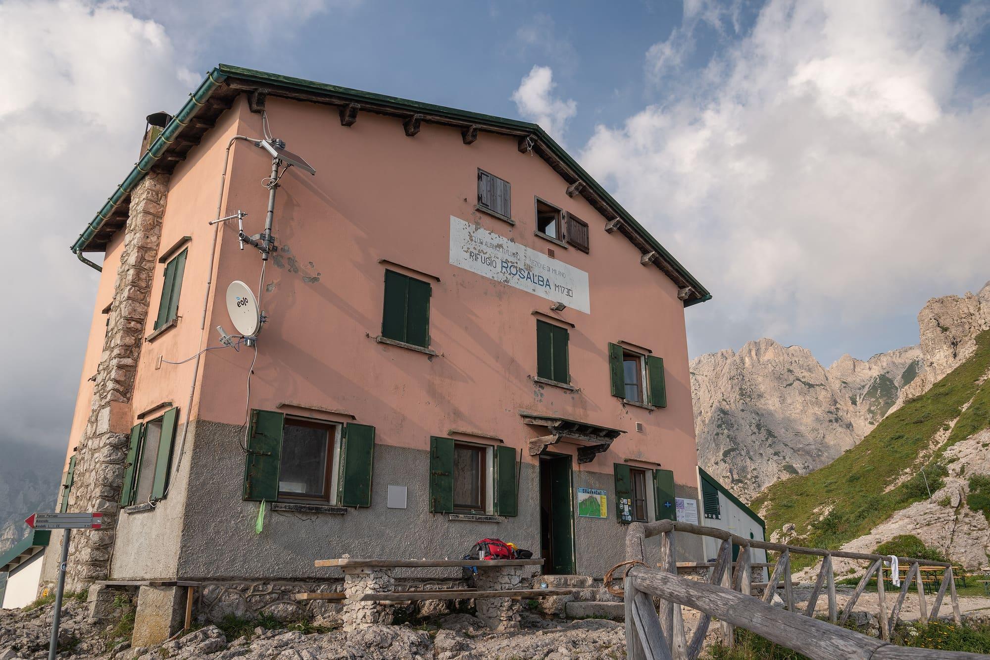
  3. At the Colle Valsecchi you choose between the Rifugio Rosalba and the summit. The Sentiero Cecilia, EE, climbs the south-west face from the Rifugio Rosalba to the top, with a few chained sections, in about two hours; the Segantini ridge, from the Colle Valsecchi, has grade III moves and is a climbing route.
  4. The Rifugio Carlo Porta, at 1426 metres, belongs to the CAI's Milan section, which had it built in 1911 as one of its first hotel-huts. Before planning a stop or an overnight stay, check opening arrangements with the manager, especially if snow or bad weather is forecast.
  5. You need hiking boots with non-slip soles, layers, a rain and wind jacket, water and, in summer, a hat and sun cream. Read the forecast before setting off, because the weather changes fast up high.
  6. The Piani Resinelli are reached from Ballabio by the road of fourteen hairpins; the main starting point is the large car park at the Piazzale delle Miniere.

WhereMandello del Lario · Abbadia Lariana

On the map

Explore the lake
Mandello del LarioAbbadia LarianaThe Grignetta from the Piani Resinelli

© OpenStreetMap contributors · ODbL
Nearby: places, experiences, services

Sources and credits

Sources and credits