Trails
Grigna and the Piani Resinelli
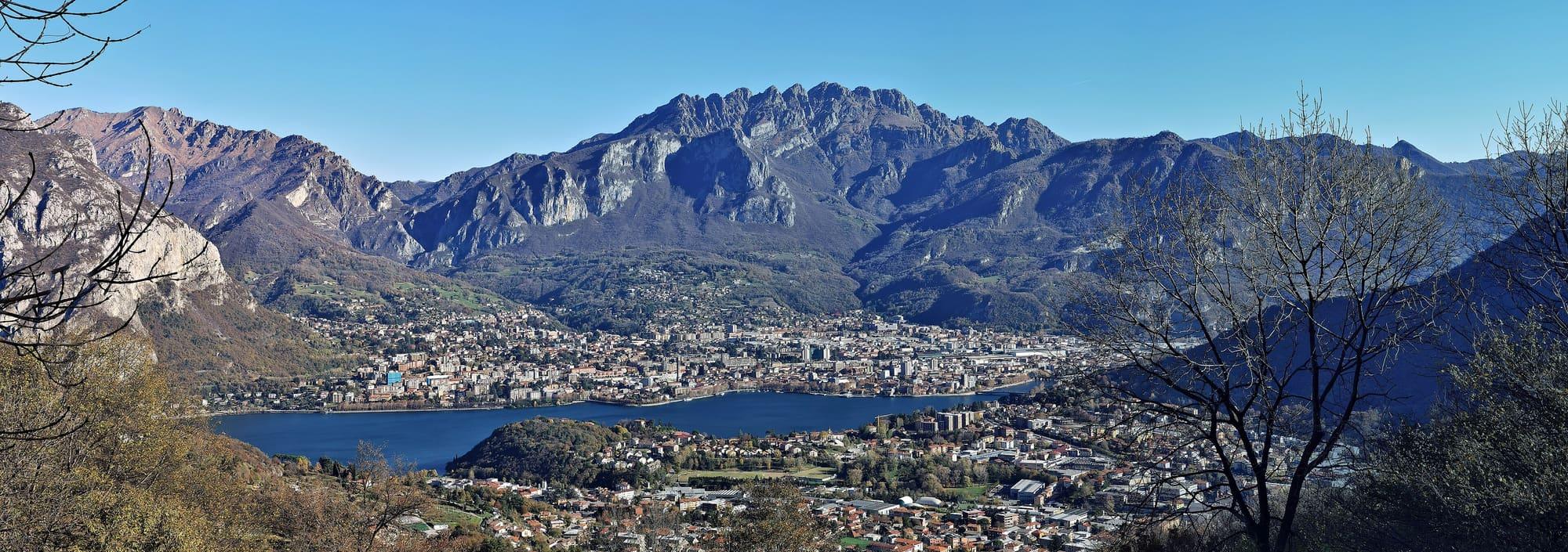
The Grignetta and the Piani Resinelli above Lecco: walks, via ferrata and climbing.
4.4 km
Centro Lago
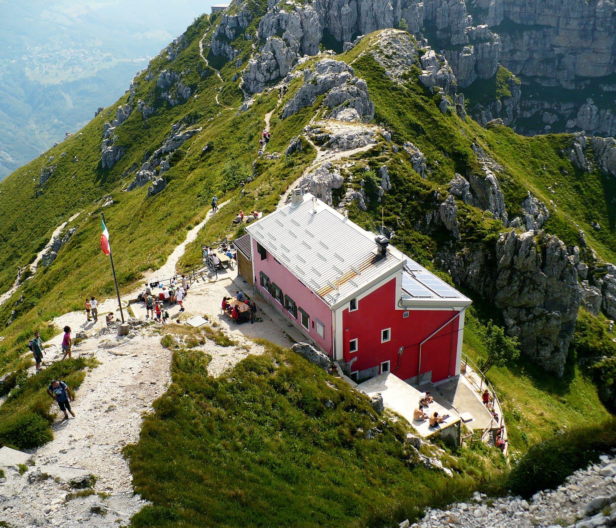
The Grigna Settentrionale, 2,410 metres, the highest summit of the Grigne above the lake: from Balisio past the Pialeral to the Rifugio Brioschi on top, a whole day, in summer.
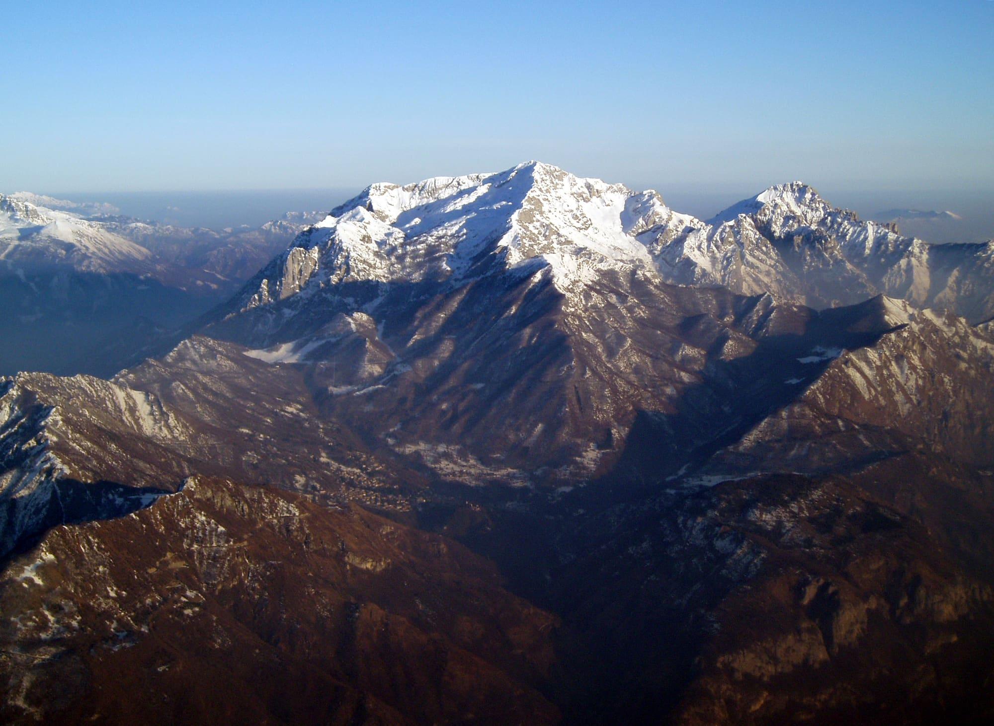
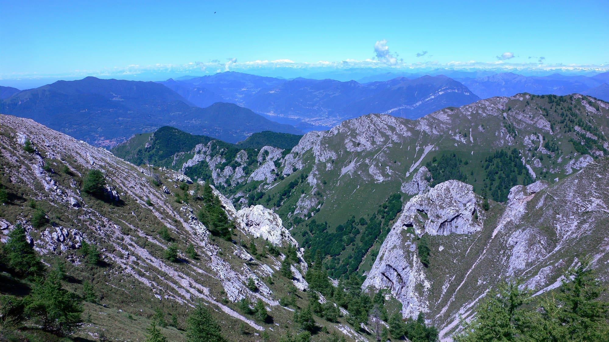
The Grigna Settentrionale, the Grignone, at 2,410 metres is the highest summit of the Grigne group and the end point of many routes, with a view that takes in the Alps and the Prealps.
This climb starts from the Colle di Balisio at Ballabio, at 720 metres, or from the Sacro Cuore chapel at about 820 metres, reached by car along three kilometres of dirt road; alternatively you climb to the Pialeral from Pasturo. From the Alpe Cova and the Pialeral, at 1,365 metres, the view opens onto the Pizzo dei Tre Signori, the Grignetta, the Grignone and the Zuccone Campelli. Then you cross a thin wood and climb a steep trace among stones and meadows to a rock with red lettering, where the summer and winter routes part. On top are the Rifugio Brioschi with its terrace, the glass chapel of Santa Maria dei Sentieri, the summit cross and a cylinder with the names of the peaks and places in view, their height and the direction to look for them.
WhereEsino Lario · Mandello del Lario
© OpenStreetMap contributors · ODbL