Trails
Grigna and the Piani Resinelli
The Grignetta and the Piani Resinelli above Lecco: walks, via ferrata and climbing.
10 km
Lecco Branch
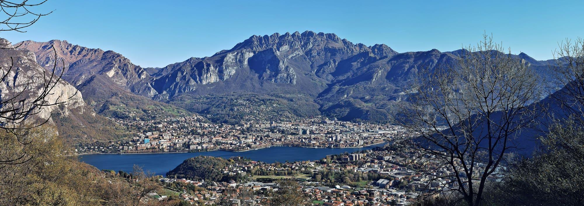
The saw-toothed mountain behind Lecco, 1,875 metres: path 1 from Versasio, the easier climb from Morterone and the Piani d'Erna by cable car.
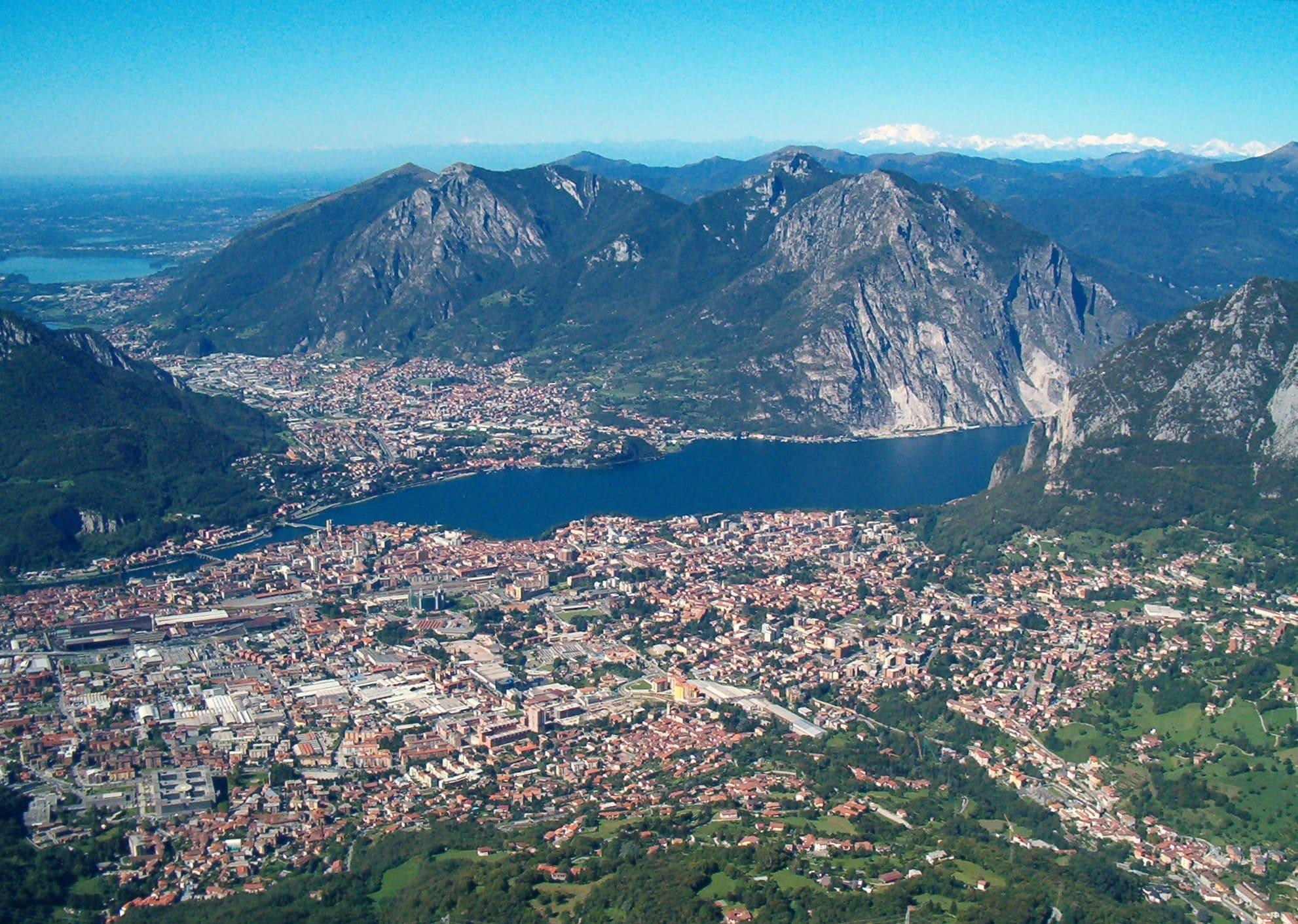
Monte Resegone, the symbol of Lecco, once called Serrada, is 1,875 metres high and stands on the border between the provinces of Lecco and Bergamo.
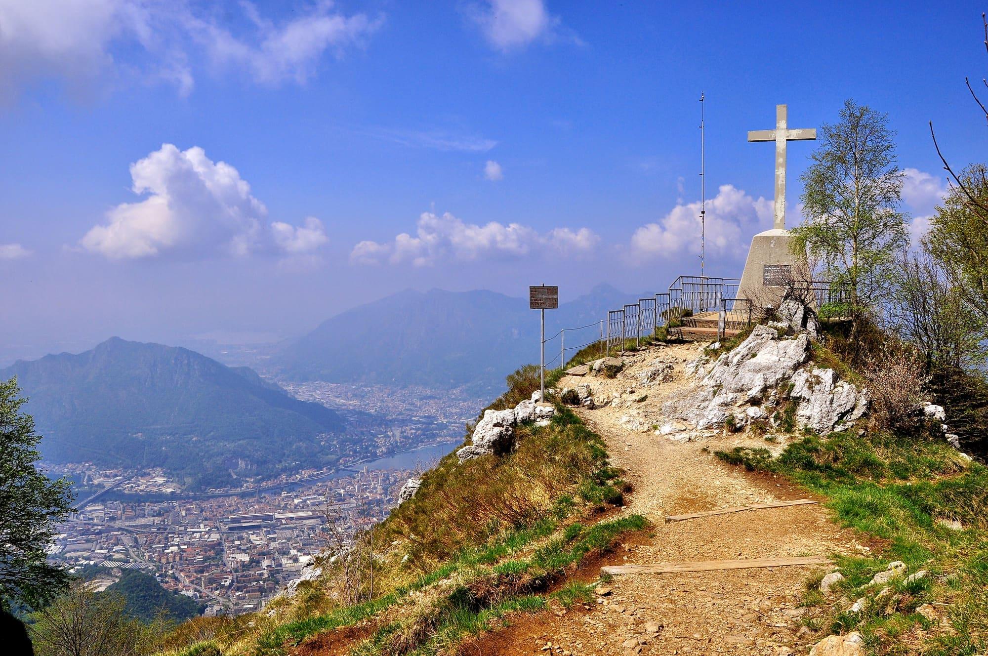
Alessandro Manzoni described it at the start of The Betrothed for the many peaks in a row that make it look like a saw; the name comes from the Lombard resegun, big saw. It is made of Main Dolomite, and at sunset its peaks turn pink. The Lecco side is rugged and sheer, while the Bergamo side, towards the Valle Imagna and the Val Taleggio, falls in gentler slopes. The highest top is Punta Cermenati, with the iron cross unveiled in 1925 and an altar consecrated in 1981 by Cardinal Carlo Maria Martini; beside it stands the Rifugio Luigi Azzoni, and the view reaches from the Brianza lakes to the Alps. Part of the mountain, 690 hectares, is a Regional Forest run by ERSAF, with centuries-old beeches, chamois, roe deer and the golden eagle; a twelve-kilometre loop runs past nineteenth-century lead mines and charcoal burners' floors. And Milan once had a “Resegone easement”, a rule against building too high so as not to block the view of the mountain.
WhereLecco
© OpenStreetMap contributors · ODbL