


8Dec
Lecco Branch
Dervio
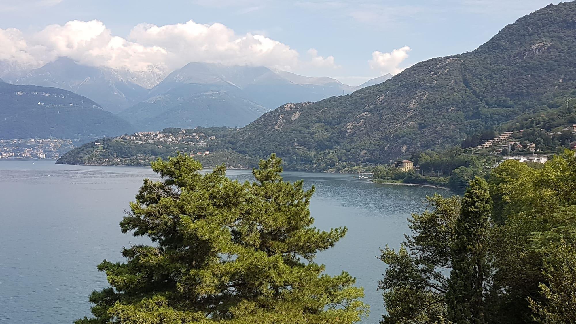
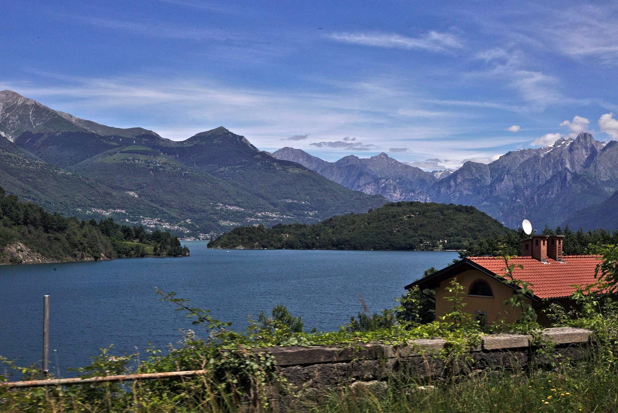
The peninsula at the mouth of the Varrone and the fortified hamlet of Corenno Plinio.
- Ideal for
- Sailing, windsurfing, days outdoors
- Time needed
- Half a day; a week if you come for the wind
- Best season
- May–September for water sports
- What to see
- Corenno Plinio, on foot or two minutes by car
- Best reached by
- Lecco–Colico train, Dervio stop
- M.casanova · CC BY-SA 4.0
- Ysogo · CC BY-SA 4.0
The place
Dervio grew around a peninsula built from debris carried down by the Varrone torrent: two bays and a flat spit of land, which on a lake where the mountains almost always drop sheer is a rarity.
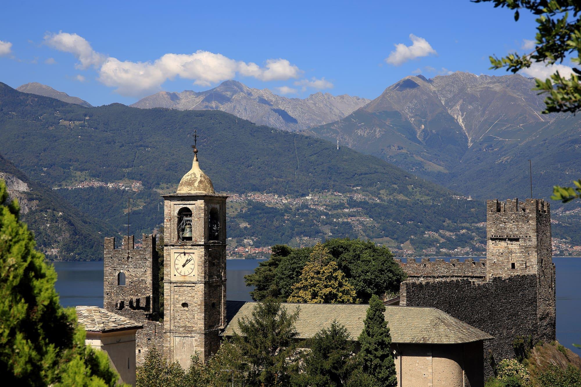
That shape is what made it one of the sailing centres of the eastern shore. Just north, Corenno Plinio is a fortified medieval core with a fourteenth-century castle and a stairway down to the water.
Dervio grew around a peninsula built from debris carried down by the Varrone torrent: two bays and a flat spit of land, which on a lake where the mountains almost always drop sheer is a rarity.
Read on
That shape is what made it one of the sailing centres of the eastern shore. Just north, Corenno Plinio is a fortified medieval core with a fourteenth-century castle and a stairway down to the water.
The village and the peninsula
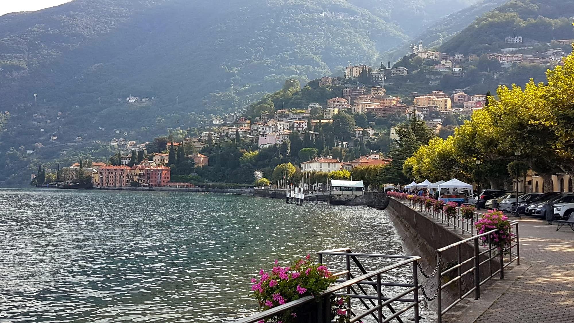
Dervio stands on the fan of debris that the Varrone, the torrent of the Valvarrone, has laid down where it meets the lake. Over the centuries that debris built a flat peninsula reaching a few hundred metres into the lake, with a sheltered bay on either side. The torrent splits the village in two, and the settlement grew from several cores: the Borgo, by the lake, around the parish church; Villa, near the old bridge over the Varrone; and Castello, higher up, around the Orezia tower.
The winds are those of the upper lake: the Tivano from the north in the morning, the Breva from the south from the afternoon on. On the peninsula, between the two bays, there are sailing and windsurfing clubs and schools. From the village the Valvarrone provincial road climbs to the Rifugio Roccoli Lorla, where the path up Monte Legnone begins; at 2,609 metres it is the highest summit in the province of Lecco.
History
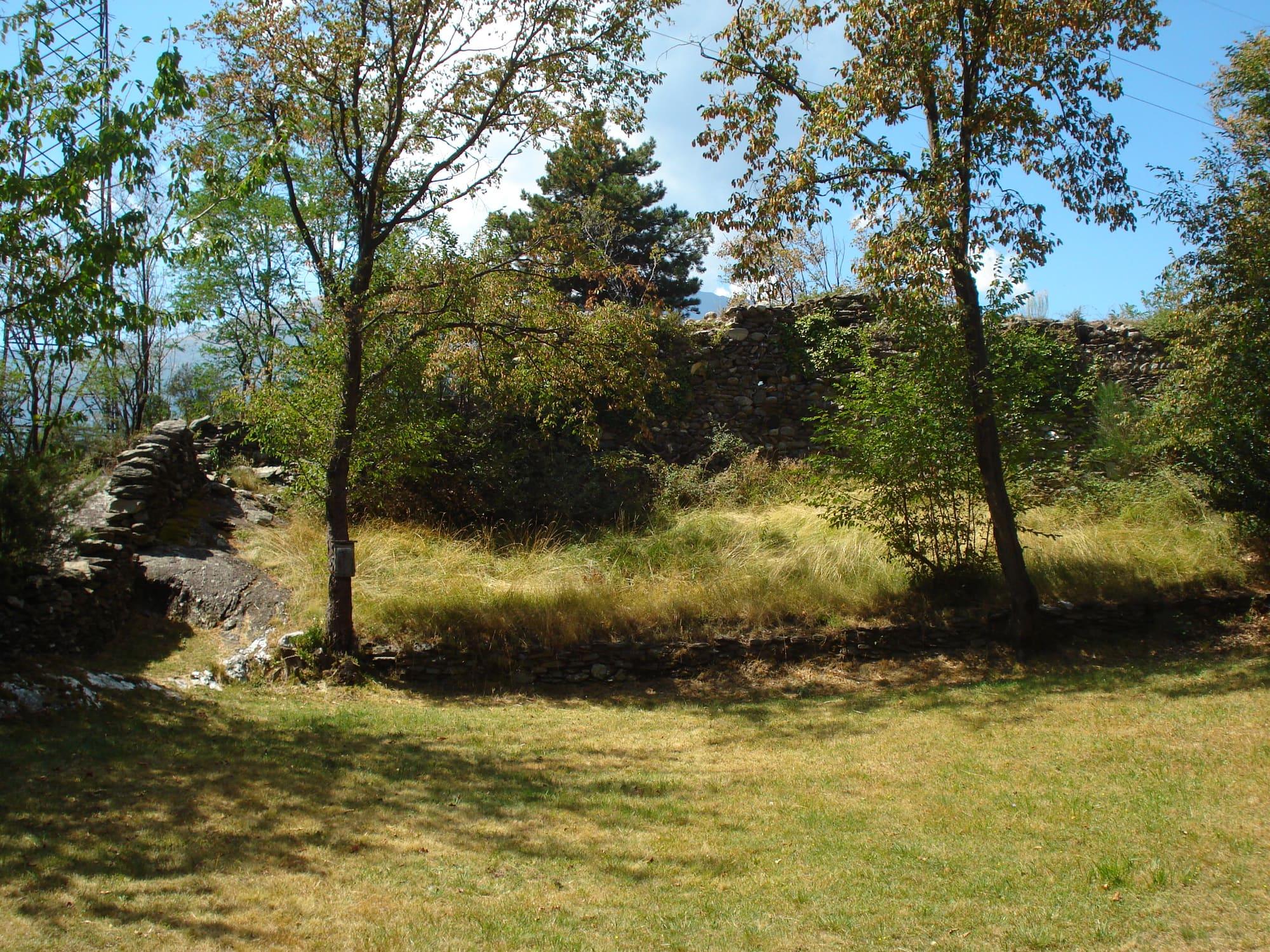
On the Mai headland above the village stand the walls of Castelvedro, a late Roman fort that was part of the chain of signal posts along the lake. Dervio already appears in a will of 814, which leaves property to the oratory of San Quirico and names a church of San Pietro. In the Middle Ages Dervio was the centre of a pieve, a church district that took in Corenno, Dorio and the Valvarrone. In 1039 the village endured a long siege by the Tre Pievi, the league of Dongo, Gravedona and Sorico.
In the 1270s Ottone Visconti, Archbishop of Milan, gave Corenno as a fief to the Andreani. In the early fifteenth century, during the wars between Milan and Venice, the villagers bought a bombard to defend the Orezia tower. In 1480 the fief of the Riviera, which included Dervio, passed to Pietro Dal Verme. From the 1530s until 1788 it was held by the Sfondrati.
The churches and the Orezia tower
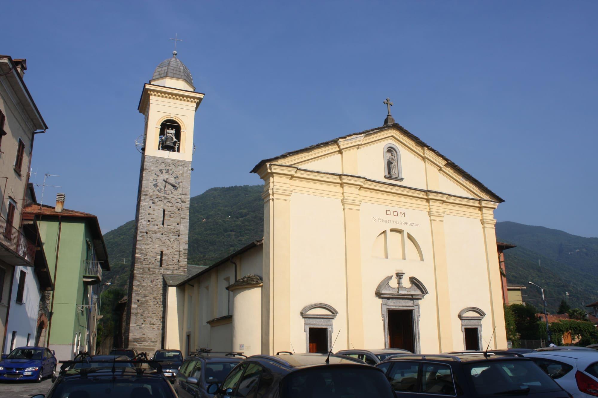
In the Borgo, near the lake, the parish church of Santi Pietro e Paolo is the mother church of the old pieve. It is Romanesque, of the eleventh century: the three-aisled plan and the shaft of the bell tower survive from that time. It was renewed in the seventeenth century, when two large canvases by Giovan Paolo and Francesco Cavagna were placed on either side of the chancel.
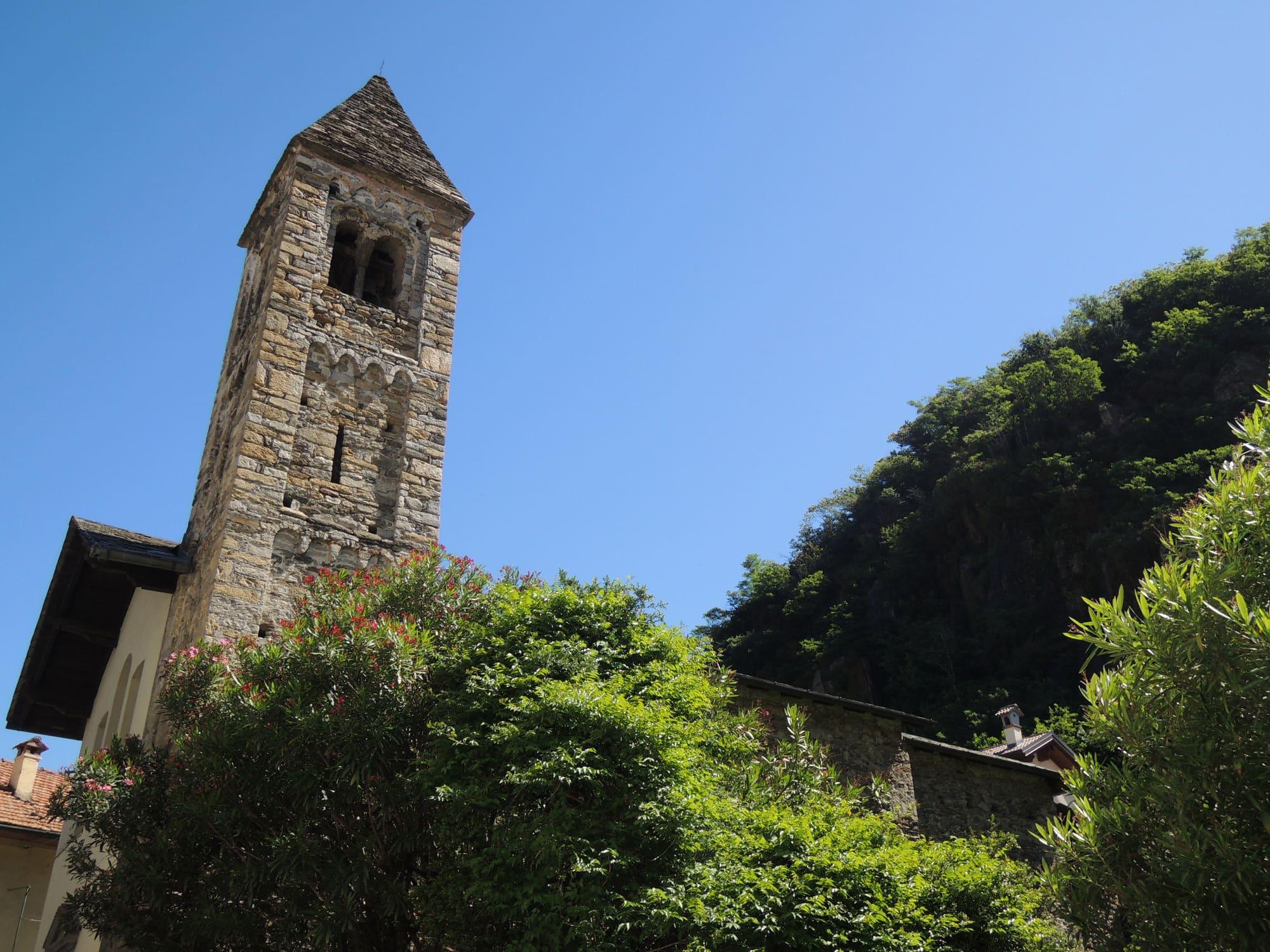
By the old bridge over the Varrone, the church of Santi Quirico e Giulitta has a Romanesque stone bell tower of around 1080. From here a mule track climbs in half an hour to the ruins of Castelvedro.
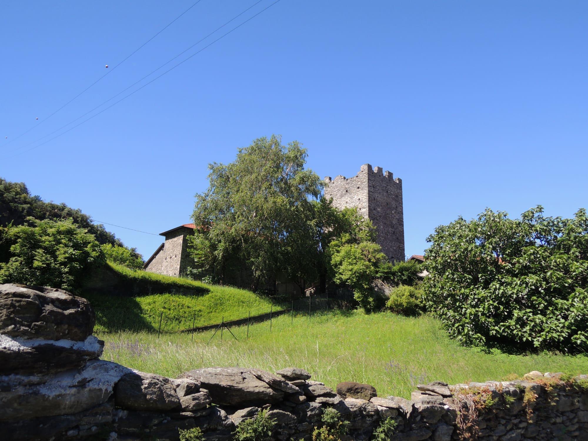
In the hamlet of Castello, the small church of San Leonardo is recorded in the late thirteenth century. It probably began as the chapel of the lords of the Orezia castle; in the seventeenth century it was given a stucco altar with the Madonna between Saints Leonard and Anthony of Padua. Close by, the fifteenth-century Orezia tower has been open to the public since 2016 and carries a statue of the Madonna on top.
Corenno Plinio
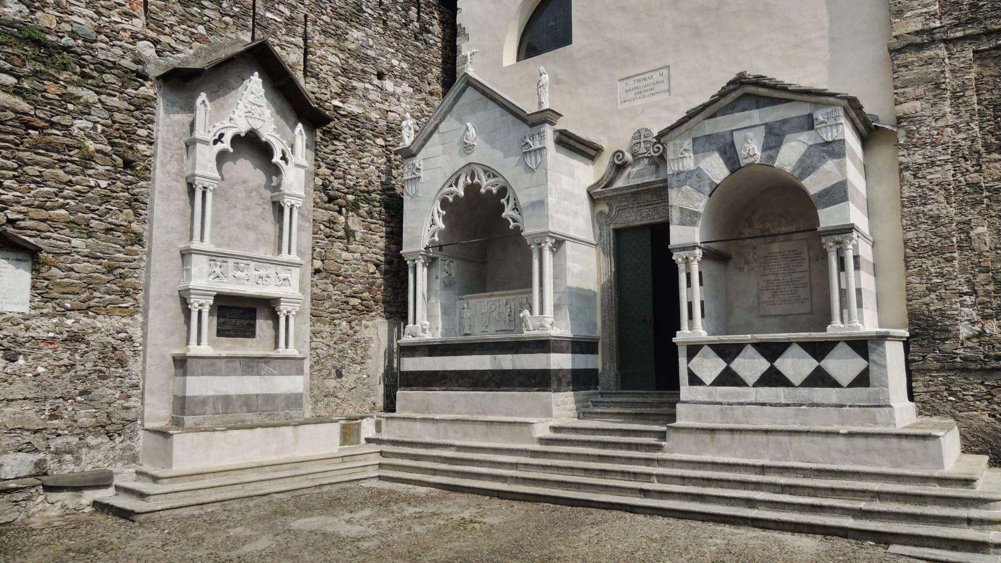
Corenno Plinio, a hamlet of Dervio, is a fortified cluster of a few houses on a spur of rock just north of the village. The Andreani, lords of the fief, built its castle between 1363 and 1370. Against its walls stand the church of San Tommaso di Canterbury and the three tombs of the Andreani, Gothic marble monuments of the fourteenth century. From the square the scalotte, stairways partly cut into the rock, run down to the water.
Corenno was a comune of its own from the fifteenth century until 1927, when it became part of Dervio again. In the 1860s it added Plinio to its name, because by tradition Pliny the Younger had a villa here. The castle is private. Half an hour is enough to walk round the hamlet; from Dervio you reach it along the shore, by bike or in two minutes by car.
Work and feast days
Until the mid-nineteenth century Dervio lived mainly on vineyards, olive groves, mulberry trees and a few cattle. Fishing for agone, the lake shad, went on into the twentieth century on a smaller scale. For centuries wool was worked here too, a trade promoted by the Umiliati of the monastery of San Clemente. In the twentieth century Redaelli, the steel firm founded in Lecco, had a works here; between 1941 and 1943 it built a new one to a design by the architect Enrico Agostino Griffini. The Lecco–Colico railway arrived in 1894. Dervio also has a Navigazione Laghi shipyard, where the ferries Adda and Lario were built.
The feast of the patron saints, Peter and Paul, falls on 29 June. On the last weekend of June the Sagra del Misultin serves dried agone with polenta. From 8 December to Epiphany the streets of Dervio and the nearby villages fill with nativity scenes.
Events
See allThings to see
Experiences
Centro Lago
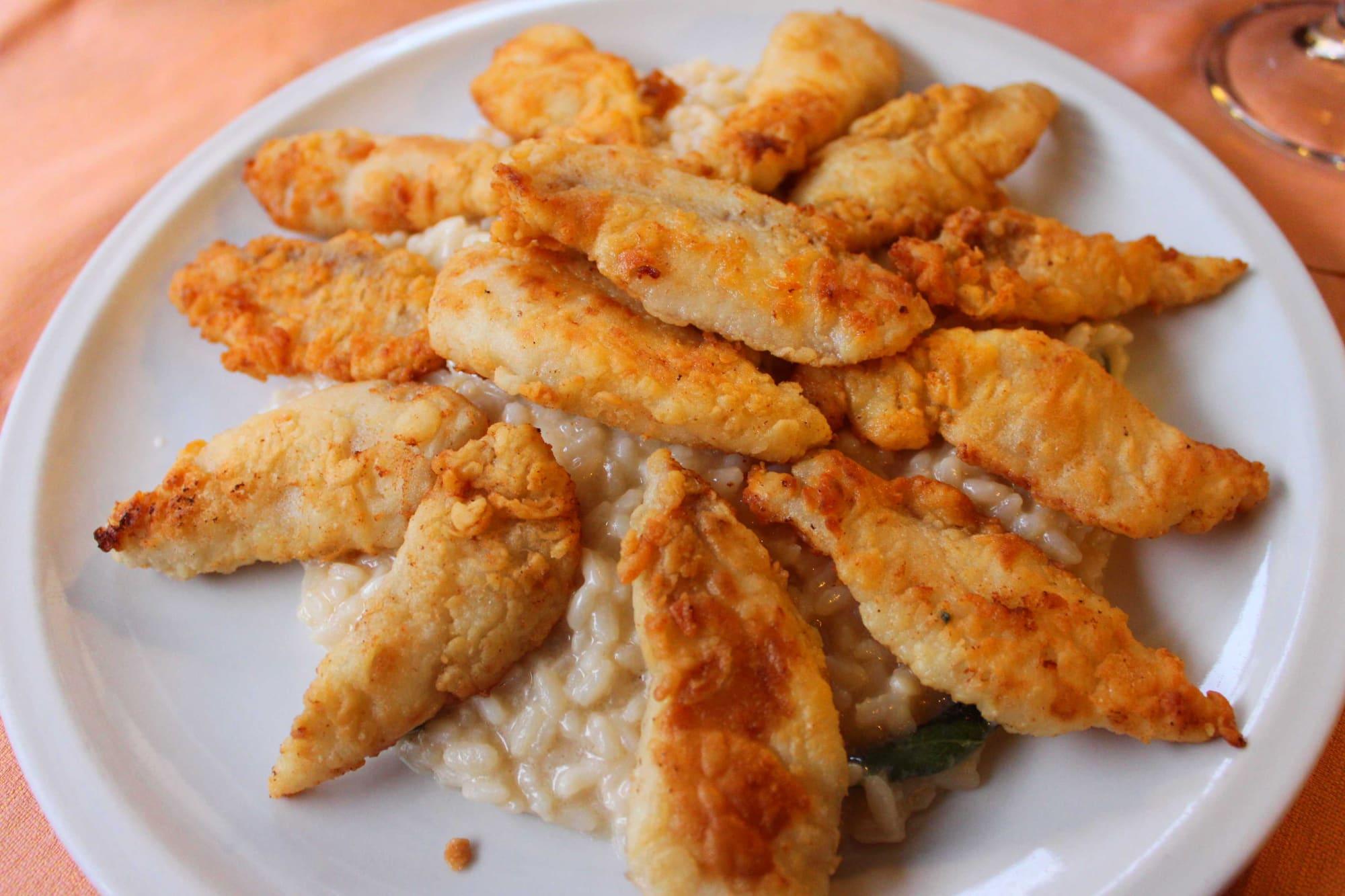
Eating the lake's fish
Missoltini with polenta, whitefish and perch: how the lake cooks its fish.
1 h 30 – 2 h 30
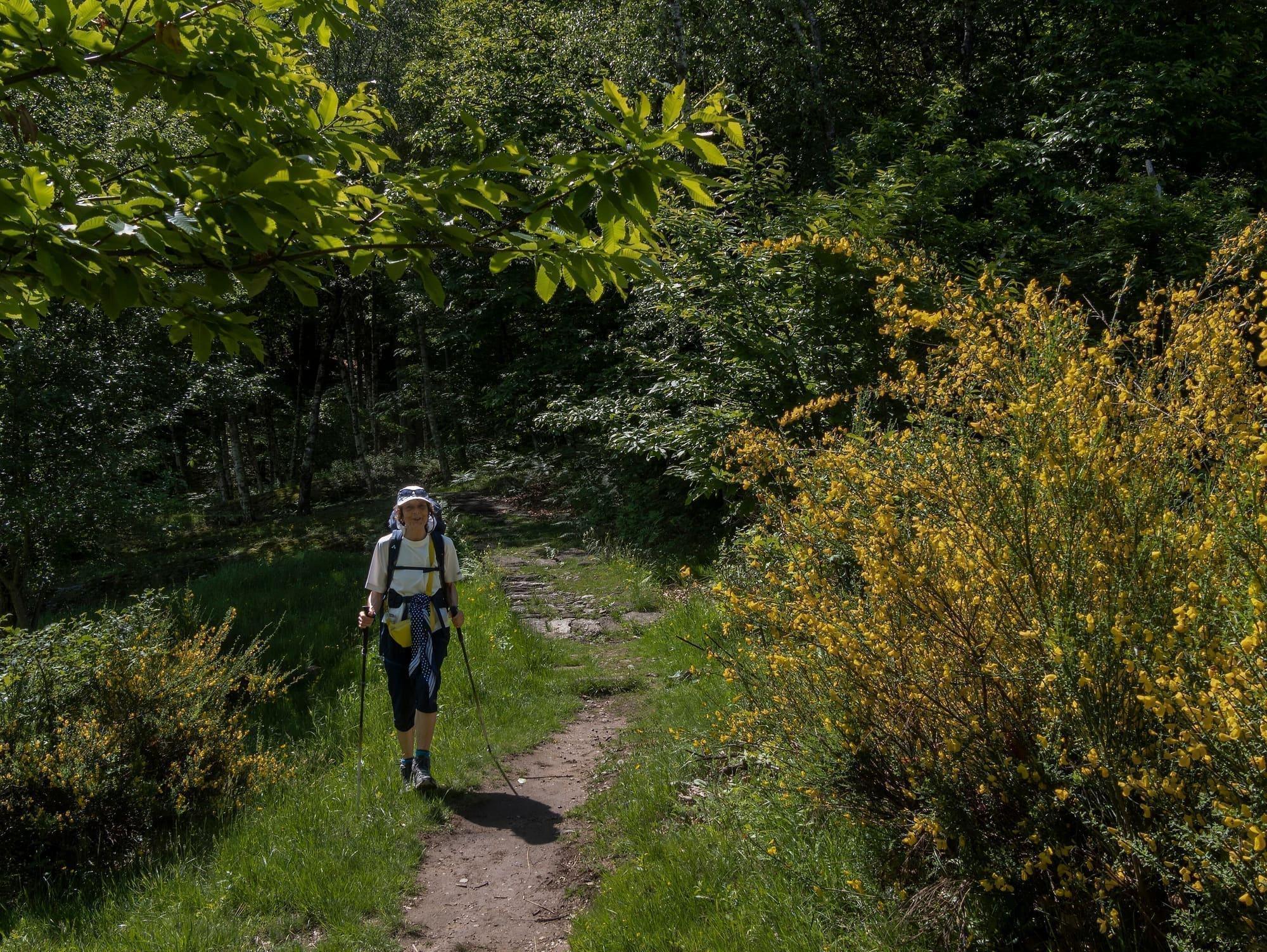
Lecco Branch
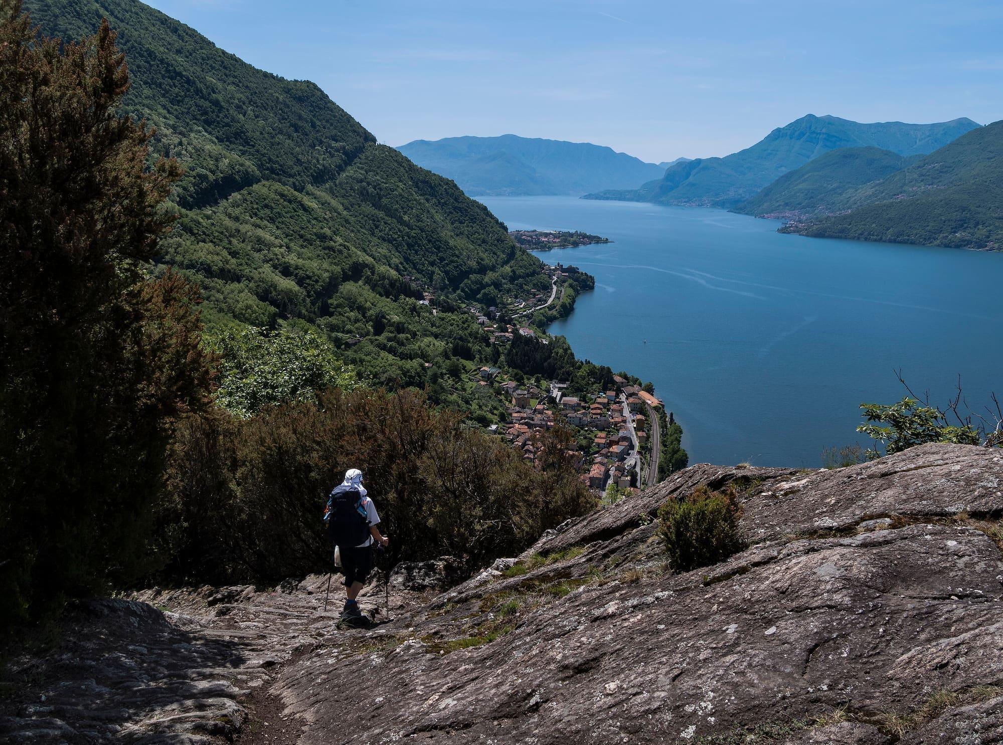
One stage of the Sentiero del Viandante
Start at one station, walk above the lake, come back from another.
3 h – 5 hOpen access
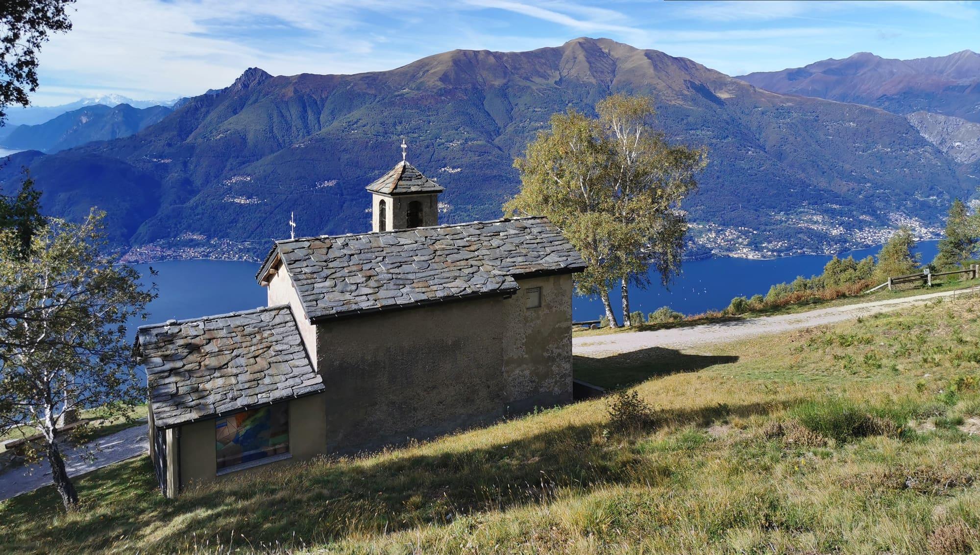
Upper Lake
From Dervio to Camaggiore
A long loop, fifteen kilometres, on the mountains above Dervio: clusters of huts, summer pastures and the Camaggiore basin, with the little church of San Girolamo on its balcony above the lake.
4 h 30 – 5 h 30Open access
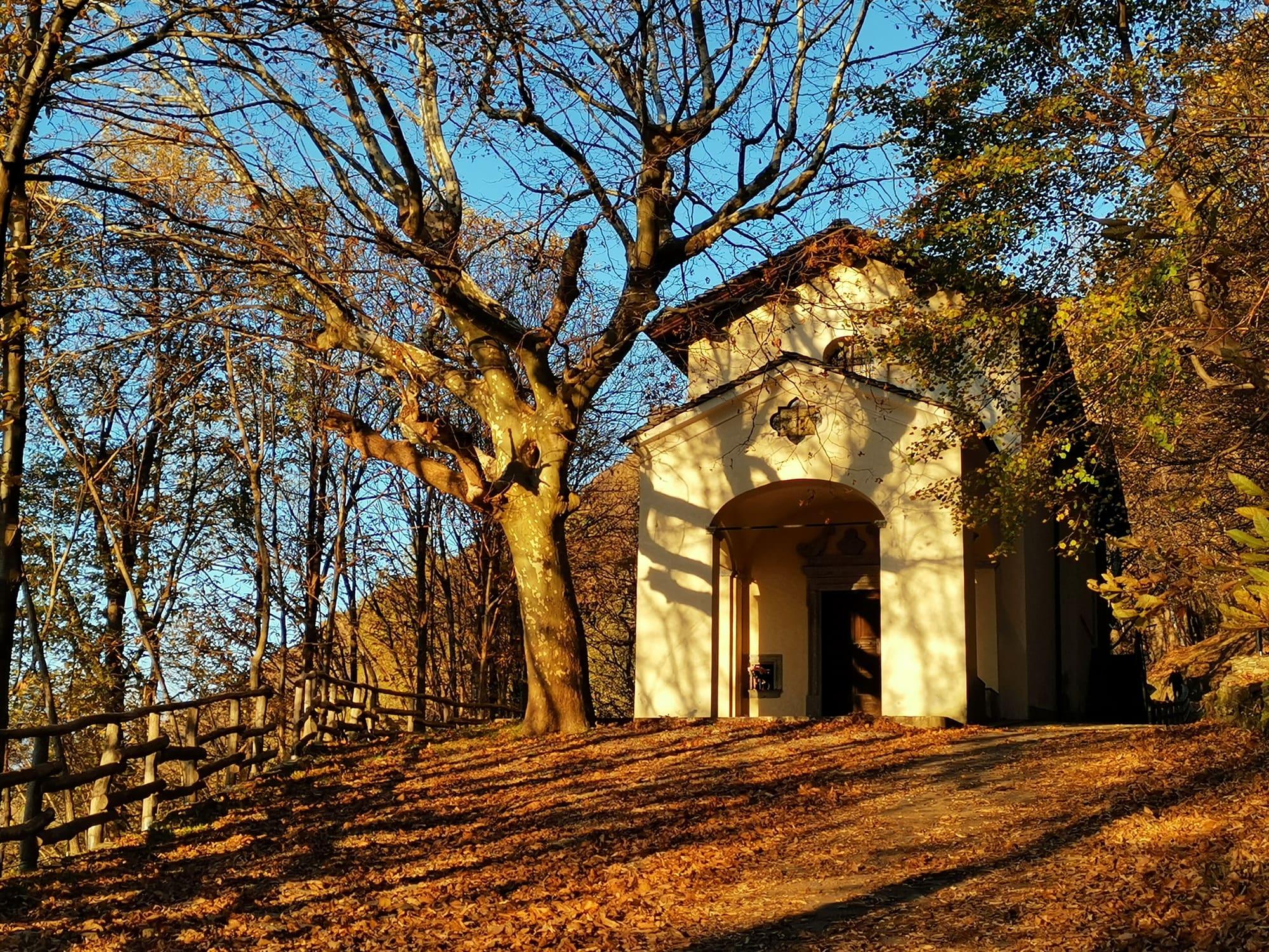
Upper Lake
The Dorio mountains and the lower Valvarrone
An eleven-kilometre loop through the woods above Dorio, from Vestreno to the sanctuary of the Madonna di Bondo and the Cadorna Line gun emplacements at the Roccoli d'Artesso, returning by Sueglio.
4 h – 5 hOpen access
Events
Before you go
How long it takes
- from Milan1 h 10Train
- from Como1 h 40Train · by car 1 h 30
- from Lecco32 minTrain · by car 1 h 05
Typical door-to-door times by public transport, changes included. From Milan, counted from Centrale station.
Tourist office
Infopoint Dervio
Via Martiri della Liberazione 13, 23824 Dervio
Every day 9:00 to 12:30
Updated: 8 Oct 2026 · Comune di Dervio.
Parking and services
- Parcheggio Parrocchiale
- Car parksurface · 6 spaces · free
- Car parksurface · 3 spaces · free
- Car parksurface · paid
7 public toilets38 drinking fountains1 pharmacy2 cash machines1 charging point4 defibrillators
Car parks and services on the map
Within two and a half kilometres of the centre; check car park spaces and fees on arrival.
Where do you sail and windsurf at Dervio?
Sailing clubs and areas used for sailing and windsurfing are on the peninsula. The Breva blows regularly from the south in anticyclonic conditions, but wind and waves depend on the weather. Before setting out, check conditions on the spot and the rules for water access areas.
How do I get to Dervio from Milan?
By train: the regional services that stop at every station on the Lecco–Tirano line, from Milano Porta Garibaldi or changing at Lecco, in about an hour and a half; the RegioExpress from Milano Centrale runs through without stopping. The station is a few minutes' walk from the peninsula. In summer the ordinary boat service also calls at the pier. By car the SS36 to Bellano and then the shore road.
- Area
- The Lecco Branch
- Population
- 2,600
- Elevation
- 202 m
Updated 23 October 2026
The mountains around the village hide the sun before astronomical sunset: sunrise and sunset are worked out on the village's own horizon.
Today, 1 November, estimated sunlight at the reference point: first at 09:11 and last at 16:30, giving 7 h 20 of direct sun, out of 10 h 06 of daylight.
Today the sun arrives between 09:00 and 09:40, depending on the street.
JuneDecembertoday
Watch the shadow reach Dervio today
See from Dervio where the sun goes, in 3D
The sun at an exact spot in Dervio: your hotel, a beach, a street
A table in the sun in Dervio
Places near the shore with outdoor seating, with today's estimated first and last sun at the marked point. Those with the latest sun come first. Clouds and shade from buildings, trees or awnings can change the light on the tables; check opening hours with the venue.
- Via alla Darsenarestaurant08:55–16:27
- Lungolago degli Ulivicafé08:48–16:26
- Via Guglielmo Marconicafé08:59–16:24
- Via Enrico Fermirestaurant08:45–16:19
The highest summit in view from here is Monte Legnone, 2609 m, 9 kilometres away.
- Pizzo Ledù, 2505 m, 17 km
- Sasso Bianco, 2397 m, 17 km
- Monte Berlinghera, 1930 m, 16 km
- Monte Legnoncino, 1711 m, 4 km
- Monte Legnone, 2609 m, 9 km
- Matòk dol Petóo, 2305 m, 8 km
- Sasso Mattolino, 1508 m, 8 km
- Monte San Defendente, 1326 m, 8 km
- Monte Albiga, 917 m, 6 km
- Sasso Sant'Ambrogio, 669 m, 6 km
- Monte Ponciv, 1452 m, 19 km
- Monte San Primo, 1682 m, 19 km
- Costa San Primo - Cima Nord, 1492 m, 19 km
- Monte Colmegnone, 1378 m, 25 km
- Il Dossone, 903 m, 10 km
- Monte Crocione, 1641 m, 12 km
- Monte Galbiga, 1691 m, 13 km
- Monte Grona, 1736 m, 7 km
- Monte Bregagnino, 1905 m, 6 km
- Monte Bregagno, 2107 m, 7 km
- Monte Torresella, 2246 m, 14 km
- Monte Crocetta, 952 m, 6 km
- Monte Cardinello, 2520 m, 17 km
- Punta Michele, 2516 m, 18 km
- Monte Duria, 2264 m, 15 km
- Pizzo Cavregasco, 2535 m, 18 km
- Croce di Ledù, 2047 m, 17 km
The ochre line follows today's sun path and marks the estimated times of its first and last appearance above the mountains. Drag the panorama to see all of it.
How it is drawn
Paler ridges are farther away; heights are stretched two and a half times. Houses are not drawn, nor are trees within half a kilometre. Terrain © Regione Lombardia (CC BY 4.0); summits © OpenStreetMap contributors.
Official bathing sites nearby, with their water quality classifications.
- Campeggio Europa0.7 kmExcellent · for 11 seasons · in July, sun estimated until 19:31 at the marked point3D — see from the beach at Campeggio Europa where the sun goes
What is Corenno Plinio?
A fortified hamlet of a few houses against the fourteenth-century castle, with a stone stairway down to the water and the lords' tombs built into the church's outer wall; half an hour covers it. You reach it on foot along the shore from Dervio. Above Dervio, on the crag at the mouth of the Valvarrone, stands the Torre di Orezia too.
What is there to see in Dervio?
A few metres from the lake stands the parish church of Santi Pietro e Paolo, mother church of a pieve that reached Corenno, Dorio and the Valvarrone, Romanesque, with a bell tower that keeps its eleventh-century shaft. By the old bridge over the Varrone, the church of Santi Quirico e Giulitta is mentioned as early as 814 and has a Romanesque bell tower of around 1080, declared a national monument in the early twentieth century. From there a mule track climbs in half an hour to the ruins of Castelvedro, the late Roman fort at Mai; on the crag at the mouth of the Valvarrone stands the Torre di Orezia, and along the shore you walk to the fortified hamlet of Corenno Plinio.
What do you pass on the Viandante above Dorio?
Three churches, on the last stretch towards Colico. At Mandonico, the old farming hamlet above Dorio, San Giorgio stands white on a meadow a few steps from the path: it existed by 1412, was the parish church until 1677 and keeps the apse of the first church and, on the left wall, six panels frescoed in 1492 with Saint George killing the dragon before a landscape of lake and castles, restored in 1983. San Rocco, at 484 metres and three quarters of an hour on foot from the centre of Dorio, was built in 1848, and a plaque at the door records the vow the village made in 1856, when it was spared by the cholera: every 16 August the people of Dorio climb up to renew it, and from there you see the lake and the terraces. Higher up, at 584 metres in the woods, Santa Maria Regina dei Monti dates from 1969, built so that the herders need not walk down to the village for Mass.
Can you see the Cadorna Line trenches above Corenno?
Yes, on a loop of about two hours from Corenno Plinio: 230 metres of climb up to 460 metres, of medium difficulty, all year. The path starts from the provincial road opposite the castle and climbs steeply through chestnut and oak woods to the Croce junction; to the right is a machine-gun post of the Frontiera Nord, the Cadorna Line built between 1916 and 1918 along the Swiss border, and further south a fortification with trenches on the edge of the cliff, with the view over the village and the west shore. Higher up, past the Ciarei huts in a clearing full of springs, you can visit two well-preserved tunnel shelters with a torch. You come back by Comun, a hamlet of Vestreno, the hamlet of Castello with its medieval tower, a stretch of the Sentiero del Viandante and the places called Chiari and Monastero, where the farm buildings of the monastery of San Clemente degli Umiliati remain, and return to Corenno by a cobbled mule track. By train, get off at Dorio and reach Corenno in about twenty minutes along the lakeside walk.
On the map
What is around, and how far.
© OpenStreetMap contributors · ODbL
Nearby
Typical door-to-door times.
Sources and credits
- Maps, parking, services and distances: © OpenStreetMap contributors (ODbL).
- Train times: open data of the Lombardy Region, as of 1 October 2026.
- Freely licensed photographs: authors and licences under Photograph credits.
Sources and credits
- Maps, parking, services and distances: © OpenStreetMap contributors (ODbL).
- Train times: open data of the Lombardy Region, as of 1 October 2026.
- Freely licensed photographs: authors and licences under Photograph credits.