8Dec
Un presepi per ogni purtun
From 8 December to Epiphany, nativity scenes along the streets of Dervio and its neighbours.
Streets and public places of Dervio, Dorio, Valvarrone and Suegliountil 6 January 2027Free entry
Upper Lake
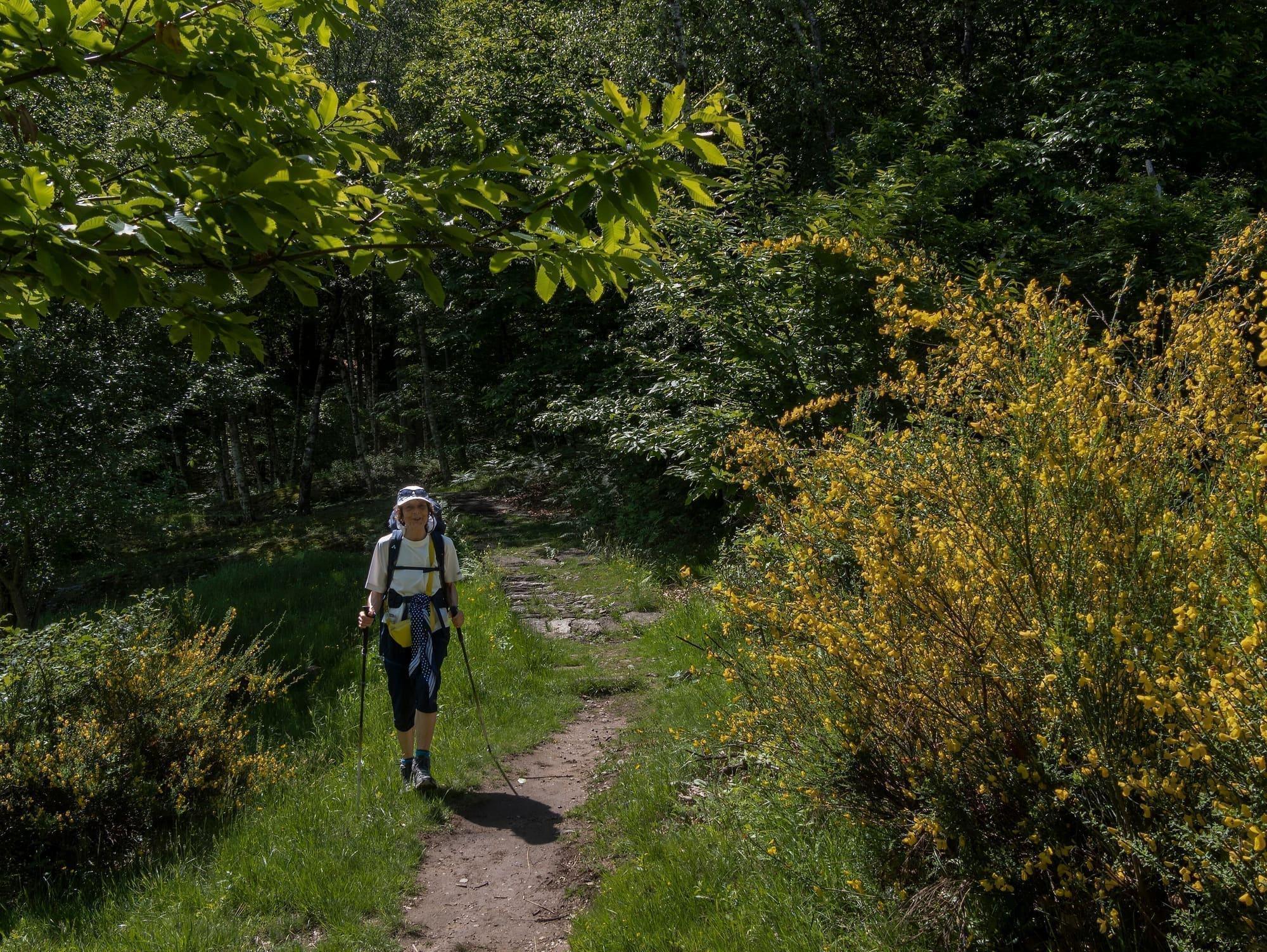
The loop crosses the clusters of houses and the old summer pastures on the mountains of Dervio, with the lake in view for much of the way.
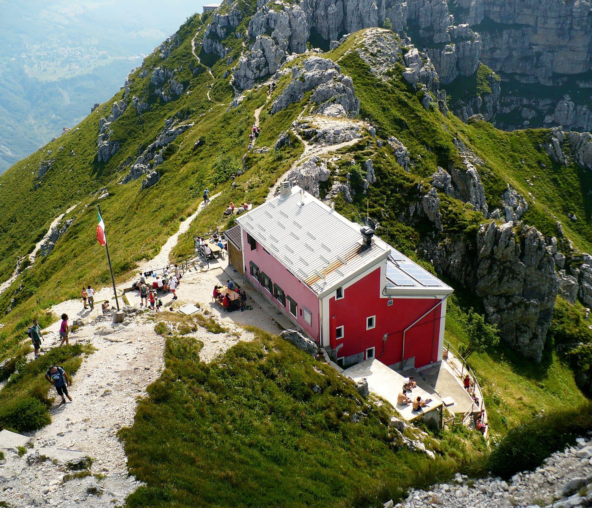
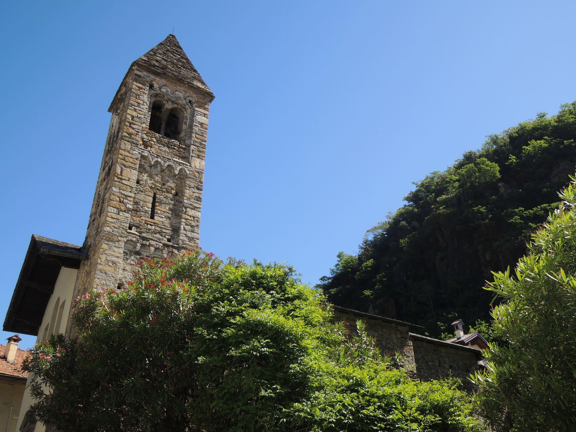
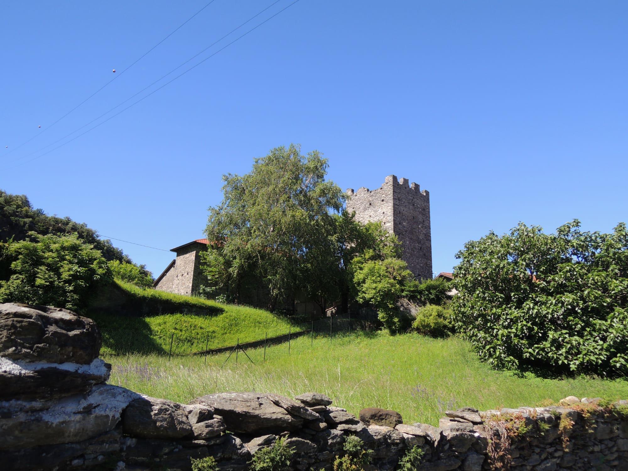
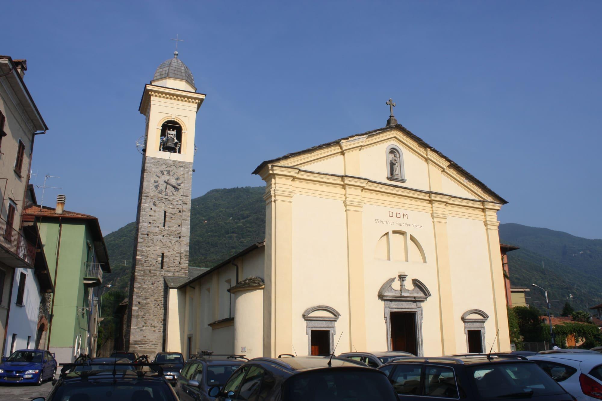
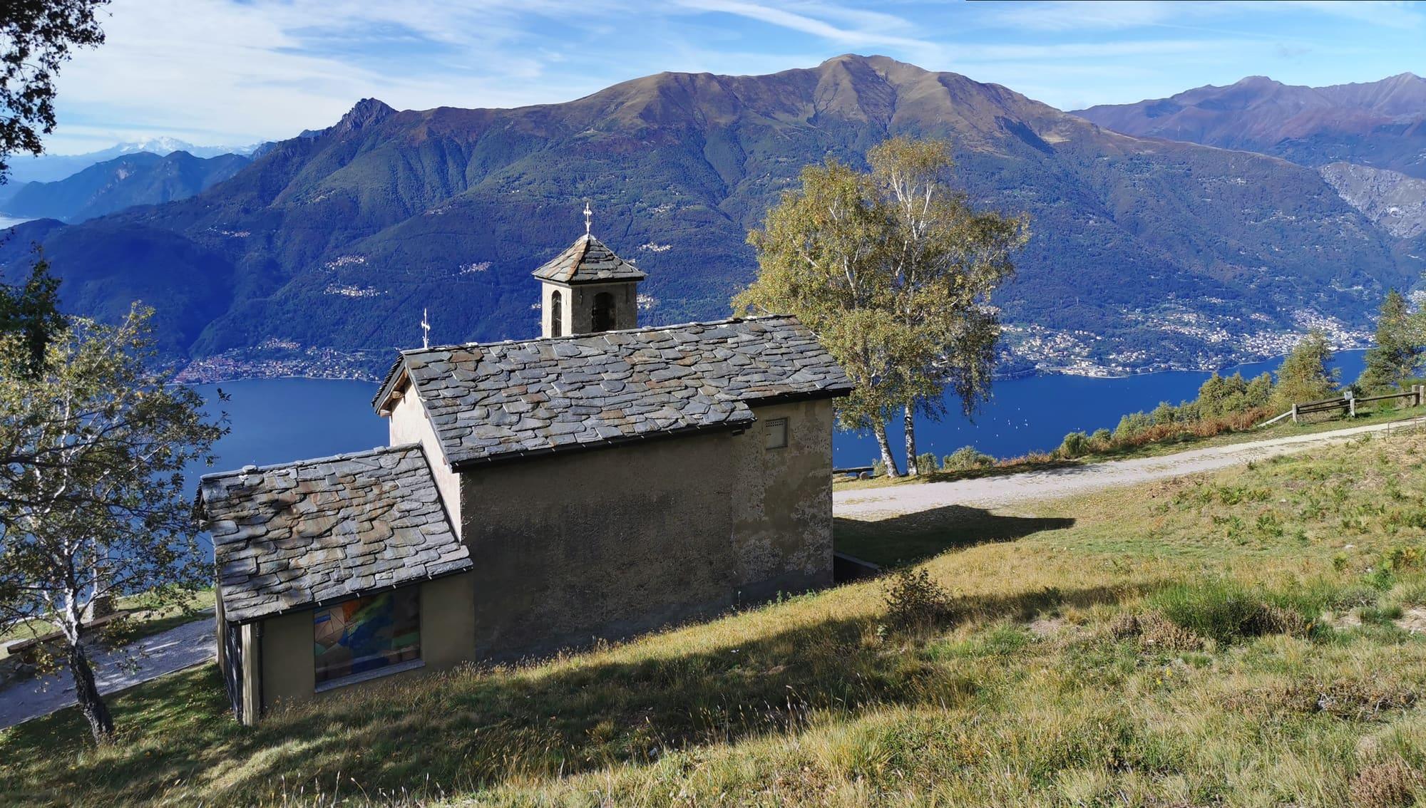
You start from Santi Quirico e Giulitta, a few minutes from the station, and climb the Via ai Monti, a steep mule track through the woods, to the first cluster of houses at Pianezzo, at 380 metres. Leaving the turning for Mai and the Castelvedro on the right, the path, part paving and part stone steps, climbs to Monte Basso and Cangiago, then beside a stream that makes little falls and pools among meadows and huts to the Cascine di Pratolungo, at 924 metres, on a panoramic knoll above the lake. Higher up are the comune's summer pasture of Pratolungo, at 1028 metres, and the wide grassy basin of Camaggiore, at 1210, where cows graze in summer. A level road leads to San Girolamo, on a panoramic balcony, and the houses of Camaggiore. You then go down past the ruins of old Camaggiore to Noceno, beside San Gregorio, and a long contour stretch with views over the lake leads back to the path you came up and down to Dervio.
© OpenStreetMap contributors · ODbL
Events within a few kilometres, on now or coming up.
8Dec
From 8 December to Epiphany, nativity scenes along the streets of Dervio and its neighbours.
25Jun 2027
The lake's dried fish, in the park, the last weekend of June.
11Sept 2027
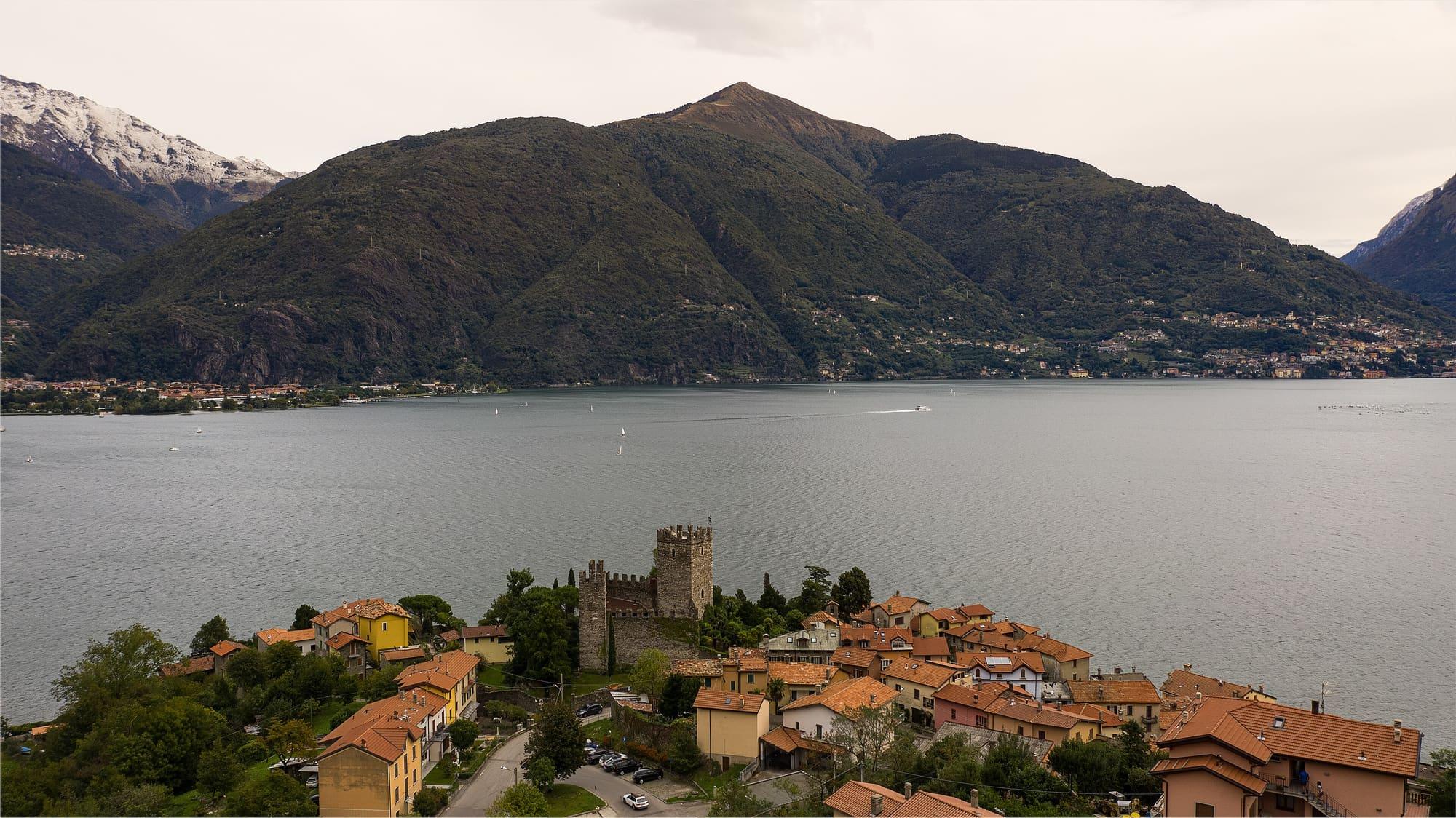
In September the San Siro Pro Loco opens the cellars of Rezzonico's medieval village, with music, wooden games and the castle open for an exhibition.