18Jul 2027
Centro Lago
The start of the Greenway, with lakeside stretches, villages and climbs and descents.
Colonno is a village of about five hundred people, squeezed between the Statale Regina and the rock face, and it is the southern end of the Greenway del Lago di Como.
The route follows stretches of the Via Regina, the road that climbed the western shore before the trunk road existed, and in about three and a half hours on foot it reaches Griante by way of Sala Comacina, Ossuccio, Lenno and Tremezzo.
Colonno is a village of about five hundred people, squeezed between the Statale Regina and the rock face, and it is the southern end of the Greenway del Lago di Como.
The route follows stretches of the Via Regina, the road that climbed the western shore before the trunk road existed, and in about three and a half hours on foot it reaches Griante by way of Sala Comacina, Ossuccio, Lenno and Tremezzo.
Colonno is the starting point of the Greenway del Lago di Como, a walk of about eleven kilometres to Griante by way of Sala Comacina, Ossuccio, Lenno, Mezzegra and Tremezzo. From the southern entrance to the village you climb Via Cappella to the start of Via Civetta, which runs through the old centre. Past the old bridge over the Pessetta stream, the route leaves the village on a gentle climb.
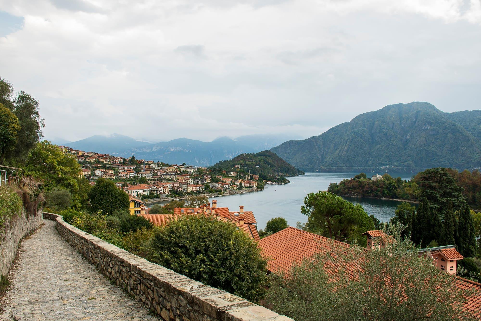
The route then follows the old Via Regina along the hillside, between terraces and small olive groves, and reaches Sala Comacina in about thirty-five minutes. The full Greenway takes about three and a half hours and alternates lakeside stretches, climbs, descents, steps and cobbled paths. Beyond the Cadenabbia landing stage, it continues along the shore of Griante. Check bus and boat stops and services for the return journey.
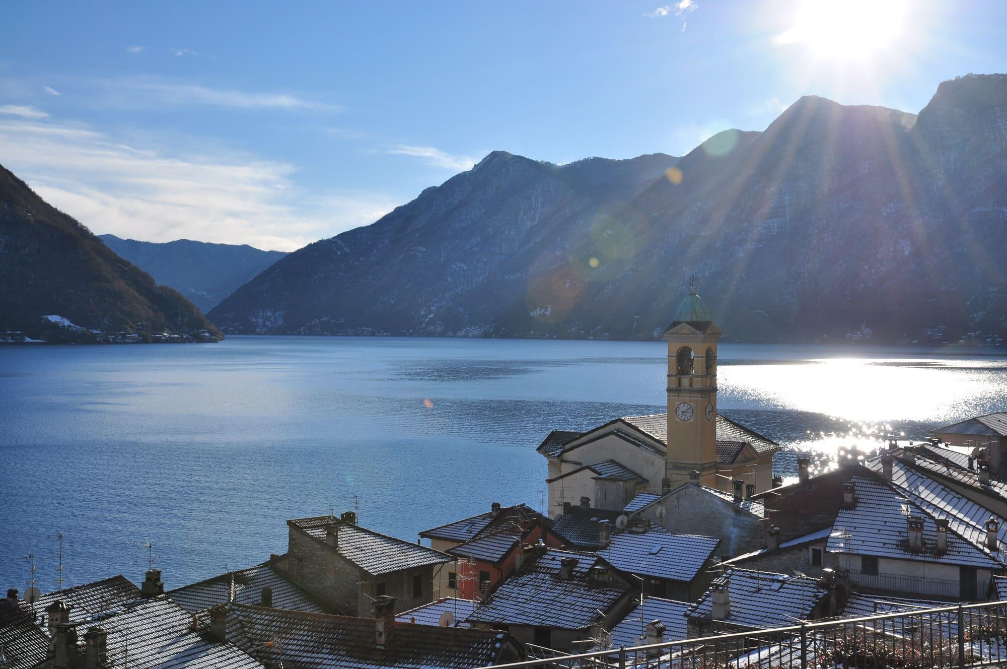
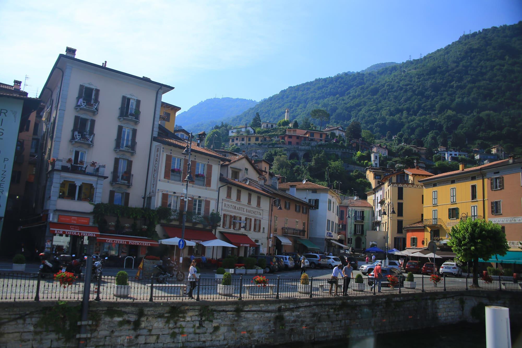
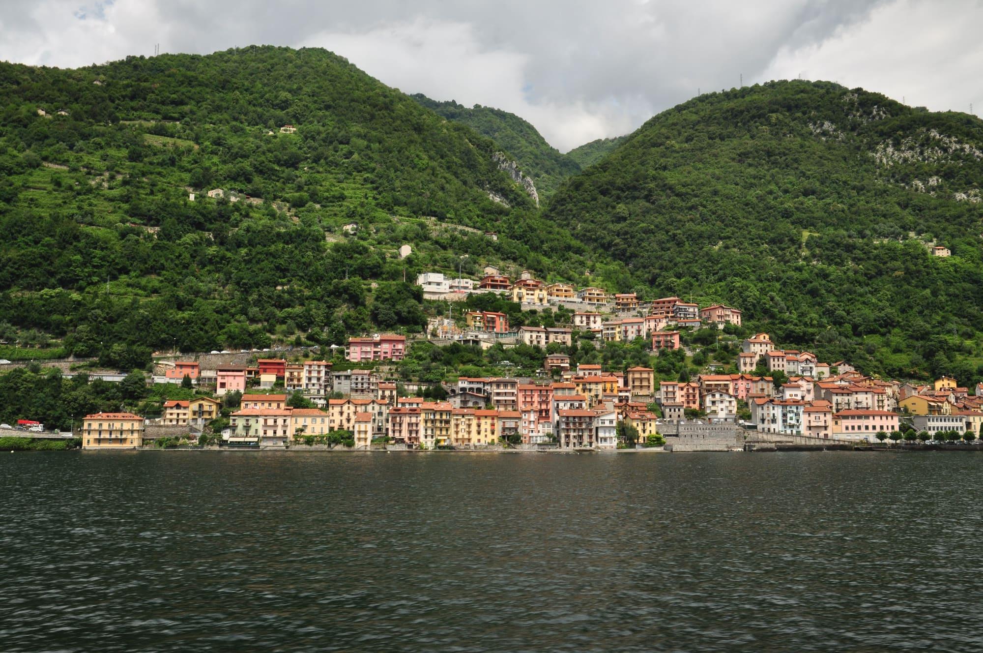
Colonno stretches between the lake and the slopes of Monte Costone. The Statale Regina splits the village in two. The old core keeps the layout of a medieval village, with narrow lanes and passages that run beneath the houses down to the water. The village lies between two streams: the Camoggia to the south, which forms a waterfall visible from the main road, and the Pessetta to the north. The stone bridges of the old Via Regina still cross both, and over the Pessetta there is also a house built as a bridge.
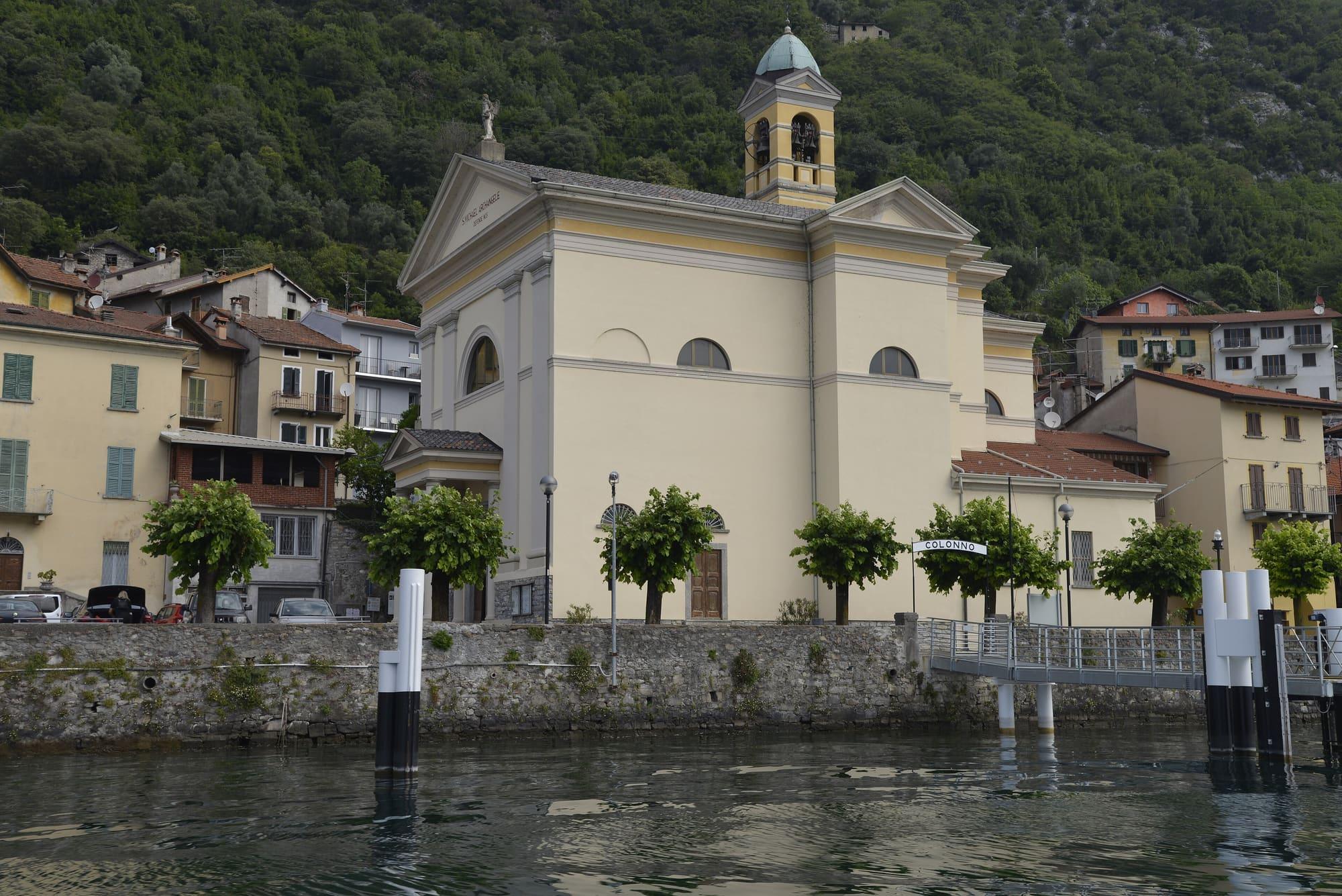
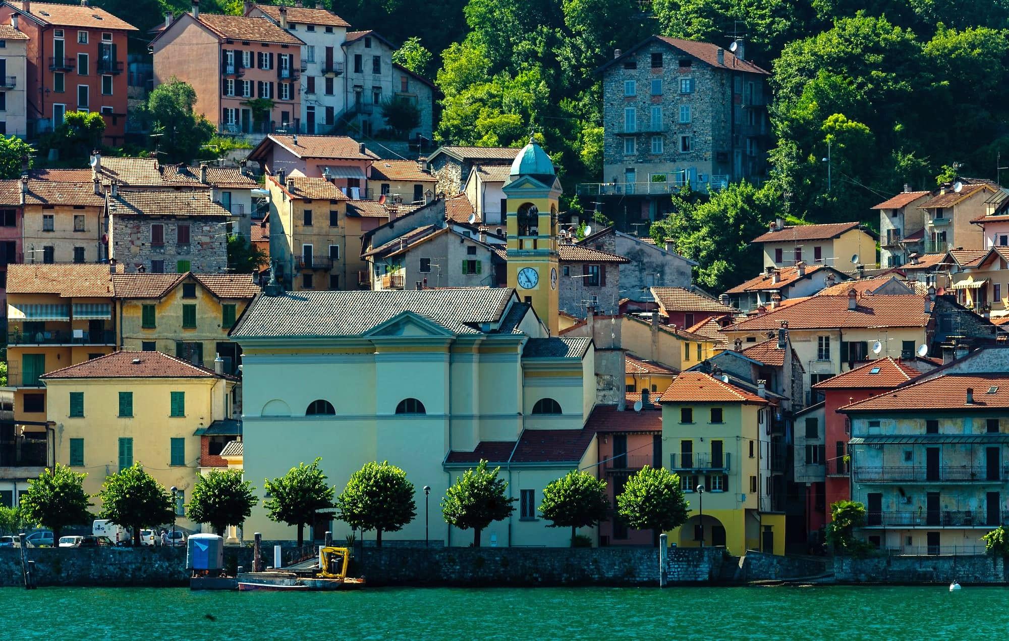
The parish church of San Michele Arcangelo stands on the only square facing the lake. In 1877 the earlier church was pulled down and rebuilt in Neoclassical style, and Luigi Morgari decorated it. The bell tower keeps traces of the old Romanesque oratory, and in a room behind the high altar fragments of fifteenth-century frescoes survive. Also on the lake stands the Palazzo Pretura, with an old wooden door.
The name may come from the Latin colonus, and a tradition links the village to the settlers Julius Caesar placed on the lake in the first century BC. In 1905, during work on the main road, four tombs came to light between Colonno and Sala. One held a young fisherman, buried with a soapstone vessel, a bronze netting needle and a coin of the emperor Diocletian.
In the Middle Ages Colonno shared the fortunes of the Isola Comacina, which sided with Milan in the Ten Years' War against Como, from 1118 to 1127. Como's statutes of 1335 place it in the pieve of Isola, and together with Sala it had to maintain the Via Regina from the bridge of Colonno to the Premonte valley. Colonno later became part of the fief of Isola, which passed to the Counts Alberti and, in 1640, to Marco Gallio, an abbot from Como. San Michele became a parish in its own right at the end of the eighteenth century. From 1928 to 1950 Colonno was joined with Sala Comacina and Ossuccio in the comune of Isola Comacina.
For centuries Colonno lived from farming and fishing, and small olive groves still grow on the terraced slopes above the village. It traded farm produce, fish and clay from the Pessetta stream, which was used against rheumatism; the women of Colonno carried it to Como and Milan.
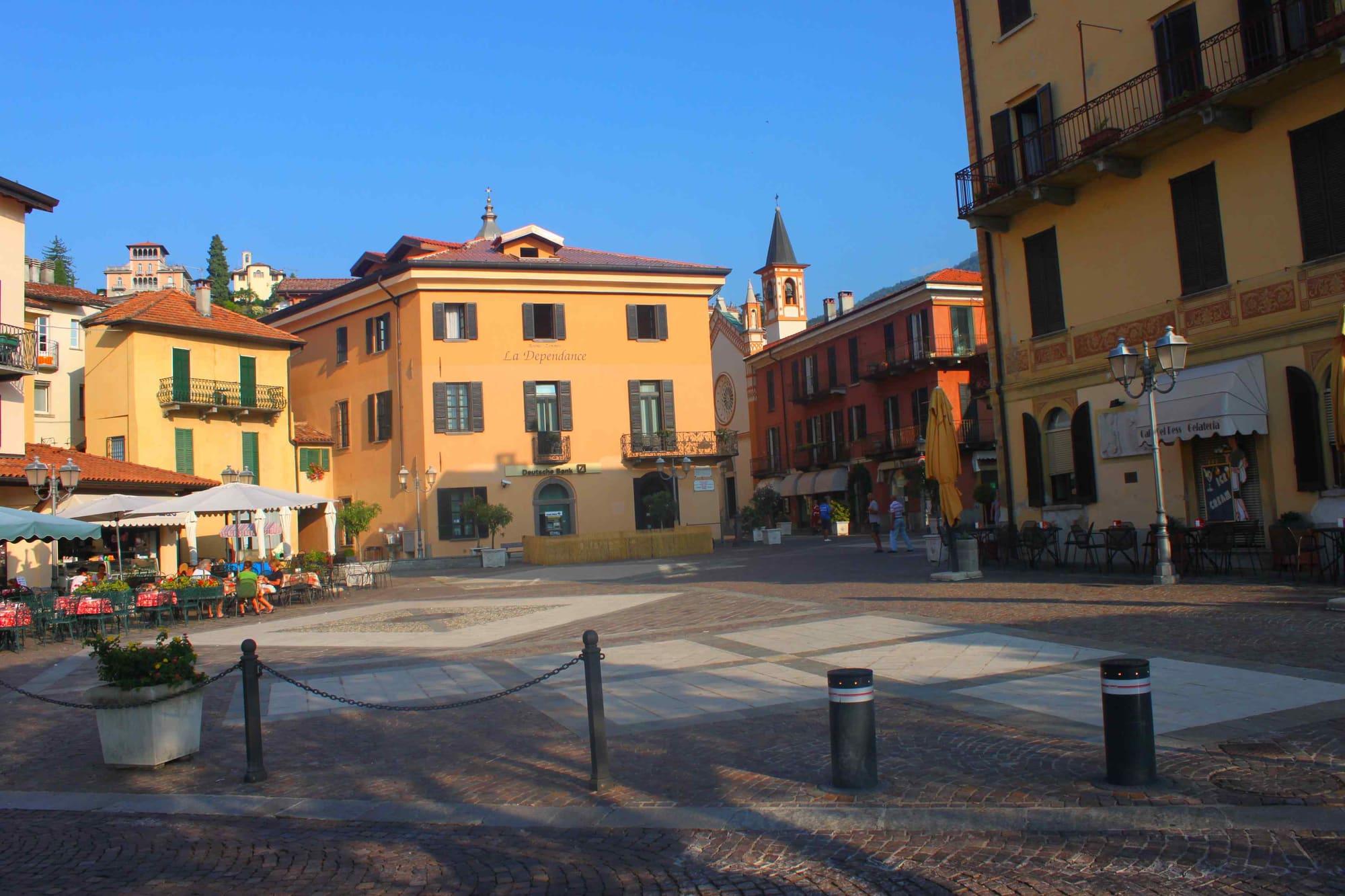
The patronal feast of San Michele Arcangelo falls on 29 September, and in September the Sagra di San Michele is held in Piazza Giovanni XXIII. Every summer a regatta of Lucie, the lake's traditional rowing boats, is raced off the village. It is one of a series of races held in turn in villages on both shores.
On the terraced slopes above Colonno lie small hamlets reached by mule track: Barnengo, Cambrianico, Corniga, Solasco and Prati. At Corniga, at 765 metres, stands the church of Sant'Anna, built in 1631.
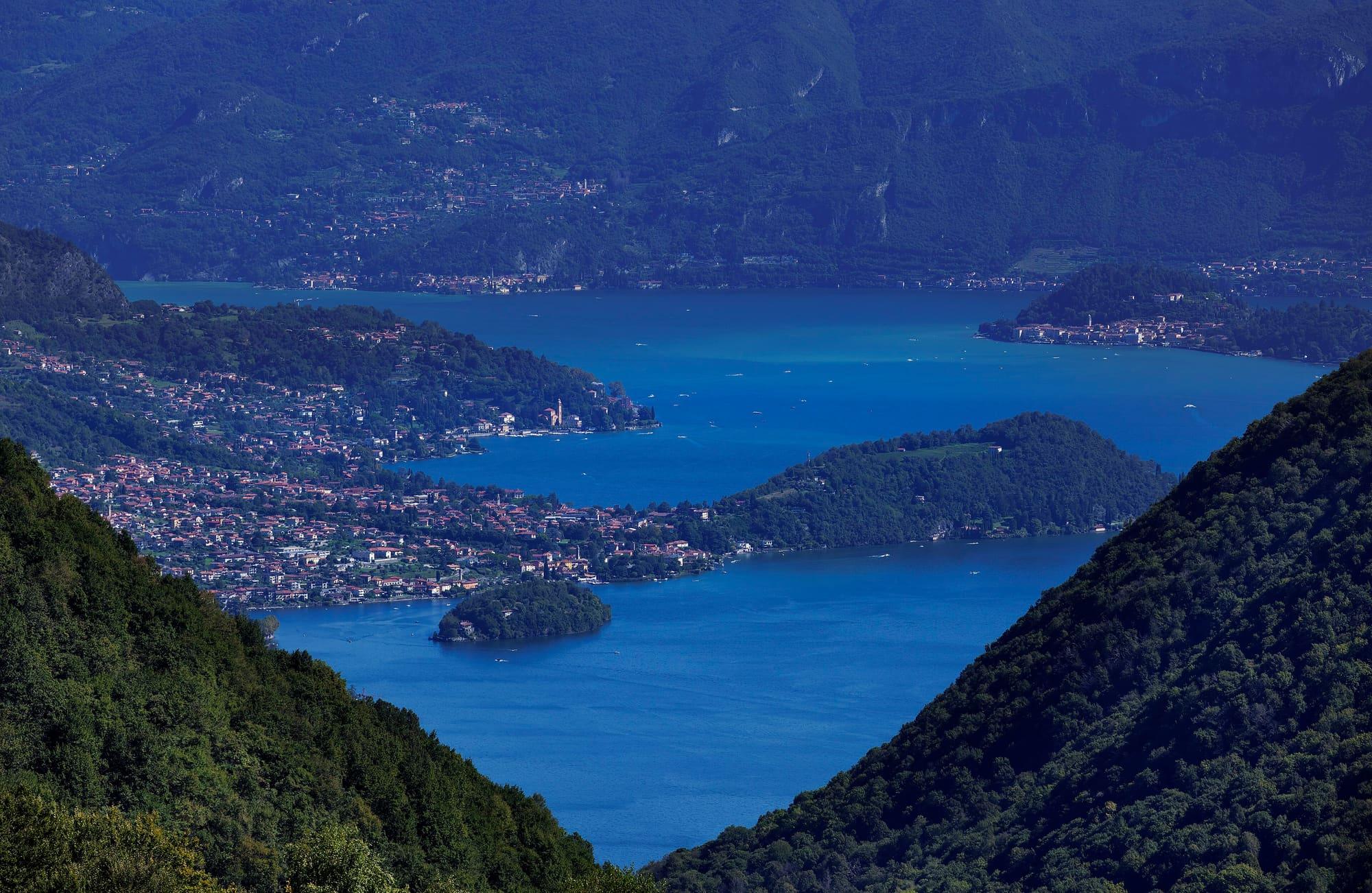
A steep mule track leaves Via Cappella after the second hairpin and passes Cambrianico at 668 metres, Corniga, Solasco at 862 metres and Prati at 1,045 metres. It reaches the Alpe di Colonno at about 1,320 metres, where there is a refuge owned by the comune. The climb is about 1,100 metres, and the round trip takes five to six hours. On the way up you see the Isola Comacina, the Balbianello and Bellagio.
How long it takes
Typical door-to-door times by public transport, changes included. From Milan, counted from Centrale station.
Parking and services
3 public toilets19 drinking fountains1 cash machine
Car parks and services on the map
Within two and a half kilometres of the centre; check car park spaces and fees on arrival.
Webcams
By the C110 bus from Como, about forty minutes, getting off at Colonno: kilometre zero is marked in the village. The ordinary boat service calls at the pier with few runs. Anyone driving can leave the car in Como or Cadenabbia and do the route by bus and on foot.
From Colonno the route heads north through Sala Comacina, Ossuccio, Lenno, Mezzegra and Tremezzo, then passes the Cadenabbia landing stage and continues along the shore of Griante. It is about eleven kilometres and three and a half hours on foot, with climbs, descents, steps and cobbles. Cadenabbia has ferries to Bellagio and Varenna; check return services to fit your walk.
Updated 26 October 2026
The mountains around the village hide the sun before astronomical sunset: sunrise and sunset are worked out on the village's own horizon.
Today, 1 November, estimated sunlight at the reference point: first at 08:06 and last at 16:20, giving 8 h 15 of direct sun, out of 10 h 06 of daylight.
Today the sun leaves between 15:53 and 16:21, depending on the street.
Watch the shadow reach Colonno today
See from Colonno where the sun goes, in 3D
The sun at an exact spot in Colonno: your hotel, a beach, a street
The highest summit in view from here is Monte Legnone, 2609 m, 25 kilometres away.
The ochre line follows today's sun path and marks the estimated times of its first and last appearance above the mountains. Drag the panorama to see all of it.
Official bathing sites nearby, with their water quality classifications.
There is the municipal park at Ossuccio, a picnic area in Lenno along the Greenway and the Teresio Olivelli park in Tremezzo. For drinking water, use points marked as potable. Before swimming, check notices for your chosen bathing point.
What is around, and how far.
© OpenStreetMap contributors · ODbL
Typical door-to-door times.