


8Aug 2027
First Basin
Argegno
A medieval bridge, a red cable car, and the valley that leads to Switzerland.
- Ideal for
- A quick view, walking
- Time needed
- Two hours including the cable car
- Best season
- April–October; the cable car runs a reduced winter service
- What to see
- The cable car to Pigra
- Best reached by
- C110 bus from Como (35 min), boat
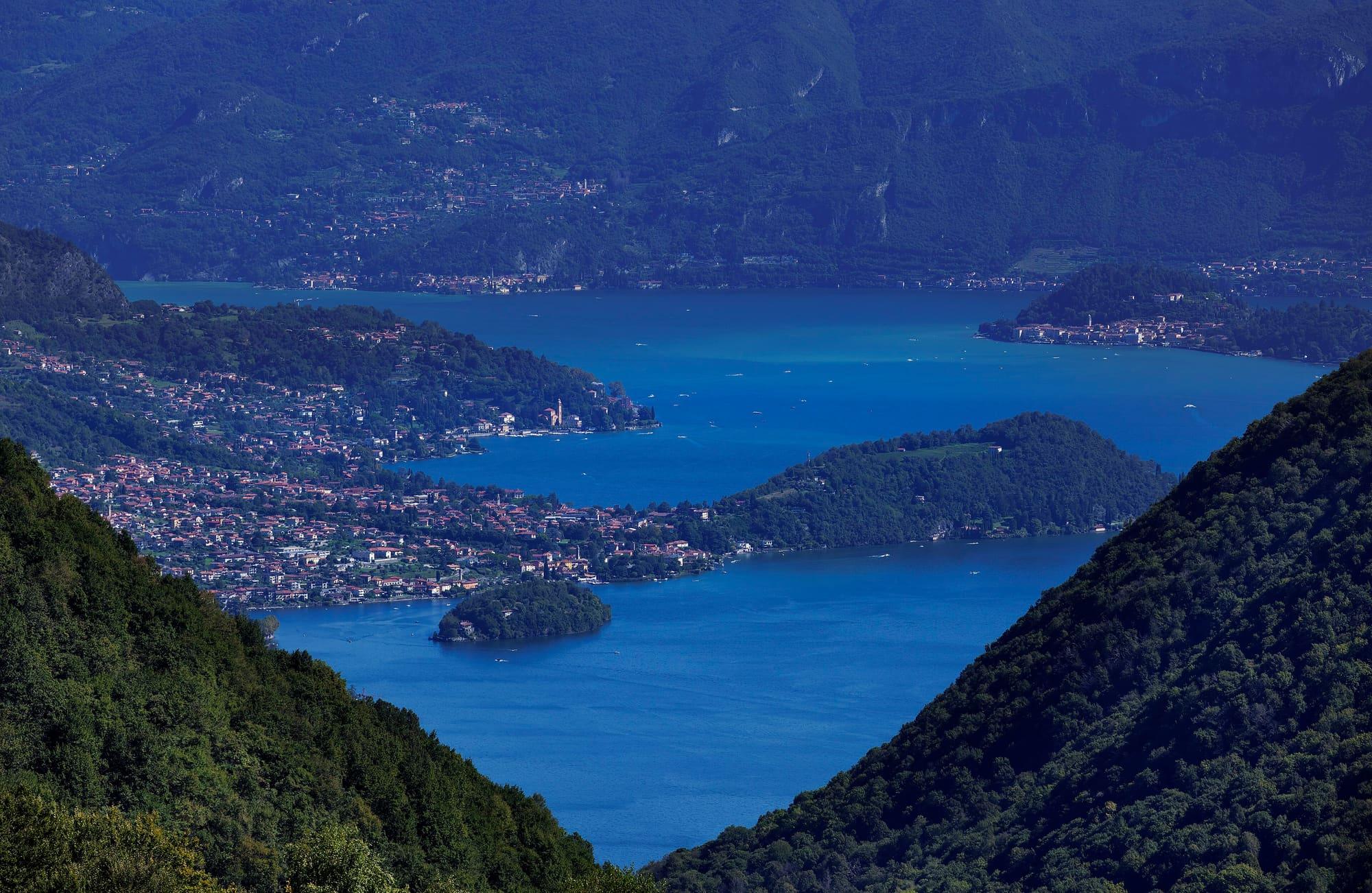
- Maurizio Moro5153 · CC BY-SA 4.0
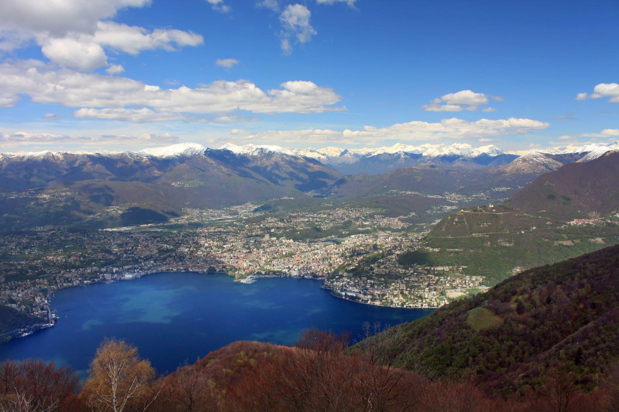
- Maurizio Moro5153 · CC BY-SA 4.0
The place
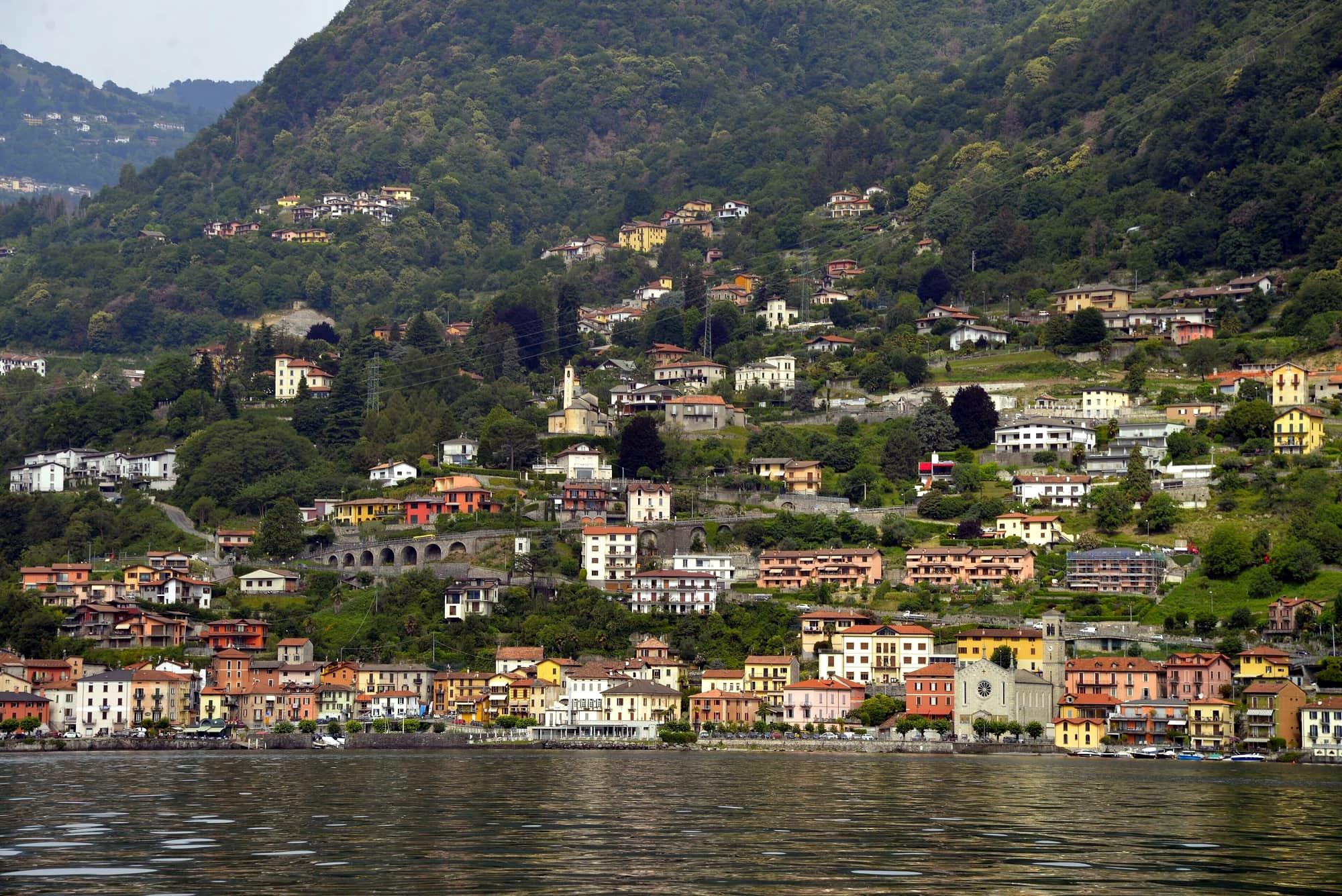
Argegno stands where the Telo stream leaves the Val d'Intelvi and enters the lake: the road to the valley and to Lake Lugano starts here, and so does the small cable car that climbs in six minutes to Pigra, more than six hundred and fifty metres above the water.
Argegno stands where the Telo stream leaves the Val d'Intelvi and enters the lake: the road to the valley and to Lake Lugano starts here, and so does the small cable car that climbs in six minutes to Pigra, more than six hundred and fifty metres above the water.
Read on
The village at the mouth of the Telo
Argegno lies on the western shore of the lake, at the mouth of the Telo stream, which comes down from the Val d'Intelvi. It is a place people pass through: from here the road climbs into the valley and on towards Switzerland, from here the cable car leaves for Pigra, and here the Statale Regina narrows between the houses.
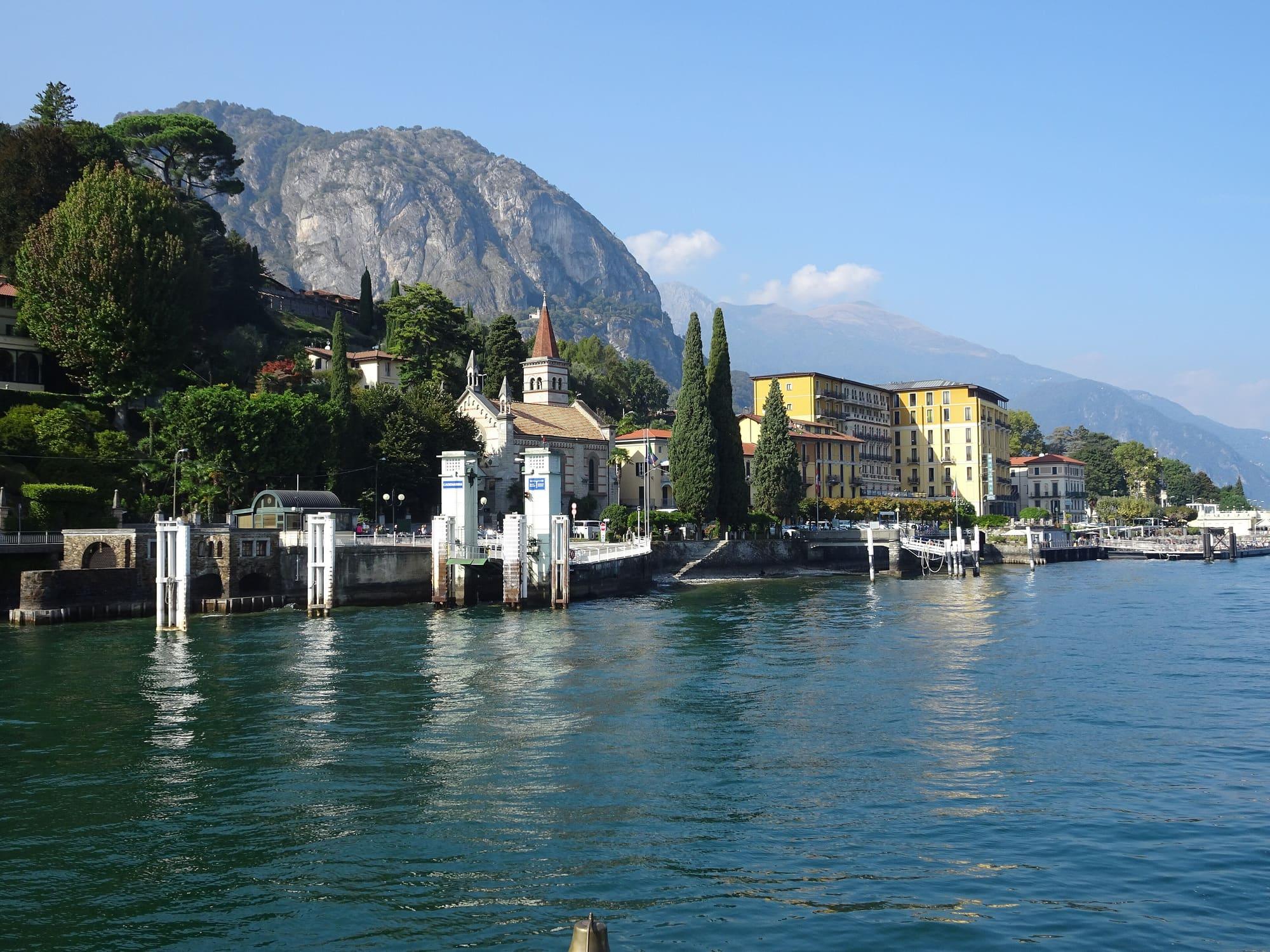
The boat puts you down in the middle of the village. The Telo divides it in two, and the halves are joined by a footbridge and by the old bridge, a Romanesque stone bridge with a pointed arch on the line of the ancient Via Regina. Along the last stretch of the stream are the houses that overhang the water and Vicolo Mulini; on the square at the mouth stands the church of the Santissima Trinità. Twenty minutes is enough to see the village; then you go up to Pigra or carry on towards the centre of the lake. Between Argegno and Nesso the lake reaches its greatest depth, more than four hundred metres.
History
Argegno has Roman origins: the village stood on the Roman road that ran up the western shore of the lake towards Chiavenna. In the Middle Ages the village had two castles. From 1270 there was the castle of Antonio Castello, a follower of the Guelph Vittani in their war against the Ghibelline Rusca. The other, in the middle of the village, had the Viscardi tower, which collapsed in 1876; its lower part has become a house.
Around 1600 the Roggia Molinara was built, a channel that carried water from the Telo to four mills, a silk-reeling mill and a winding works. The mills ground wheat, maize and chestnuts from the valley. In 1648 the village was granted as a fief to the Gallio family. In 1848 the church of San Sisinnio housed the insurrection committee of the Val d'Intelvi against the Austrians. In the early twentieth century a trolleybus line linked Argegno with the villages of the valley as far as Pellio; in 1922 it was replaced by buses.
The churches
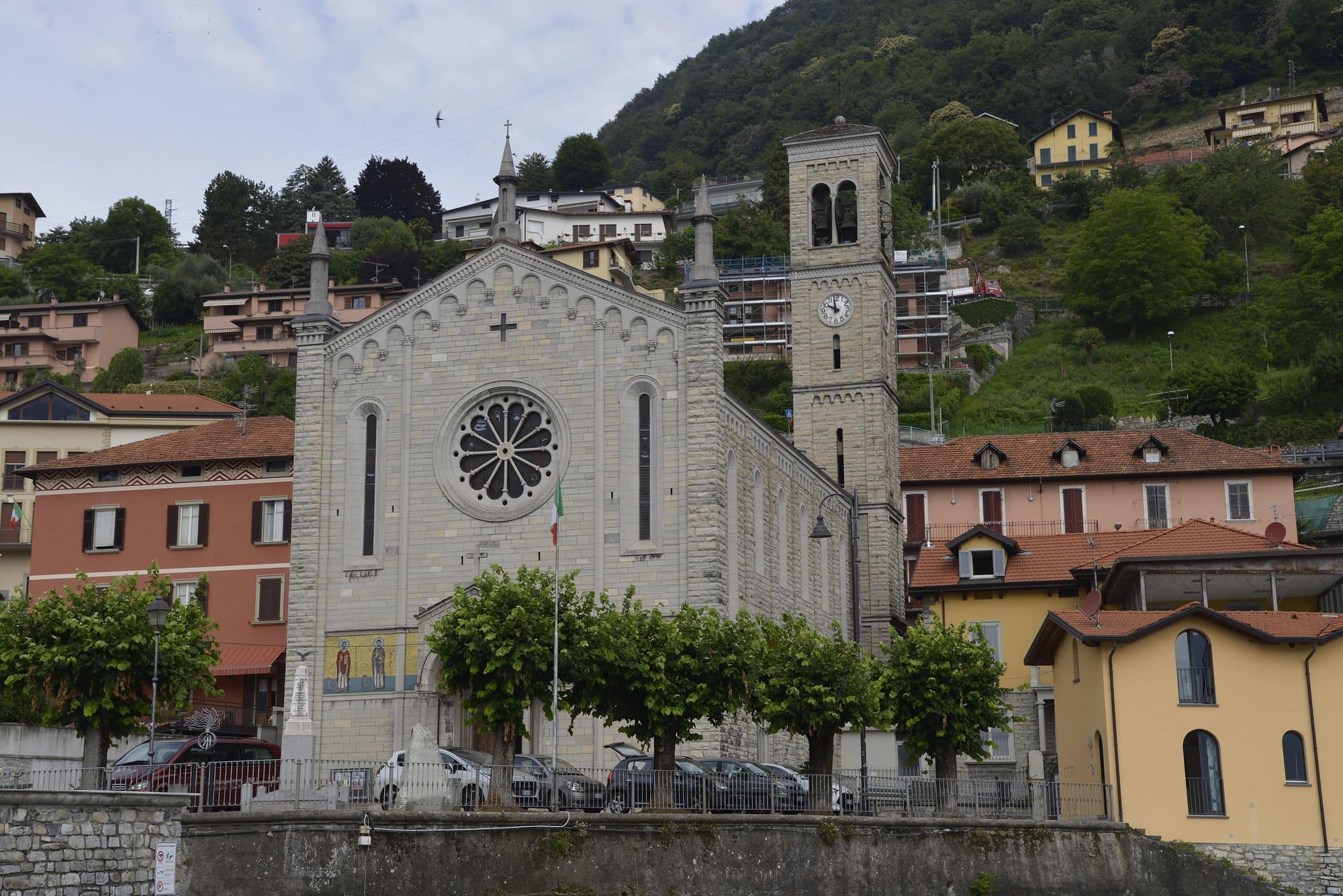
The church of the Santissima Trinità, on the lakeside square, was designed by Cesare Nava and consecrated on 24 August 1929. It replaced the old parish church in the centre, pulled down to make room for a square. It is neo-Romanesque: the façade carries mosaics of the four Evangelists, Sant'Abbondio and Sant'Anna, and the apse a mosaic of the Trinity from 1972.
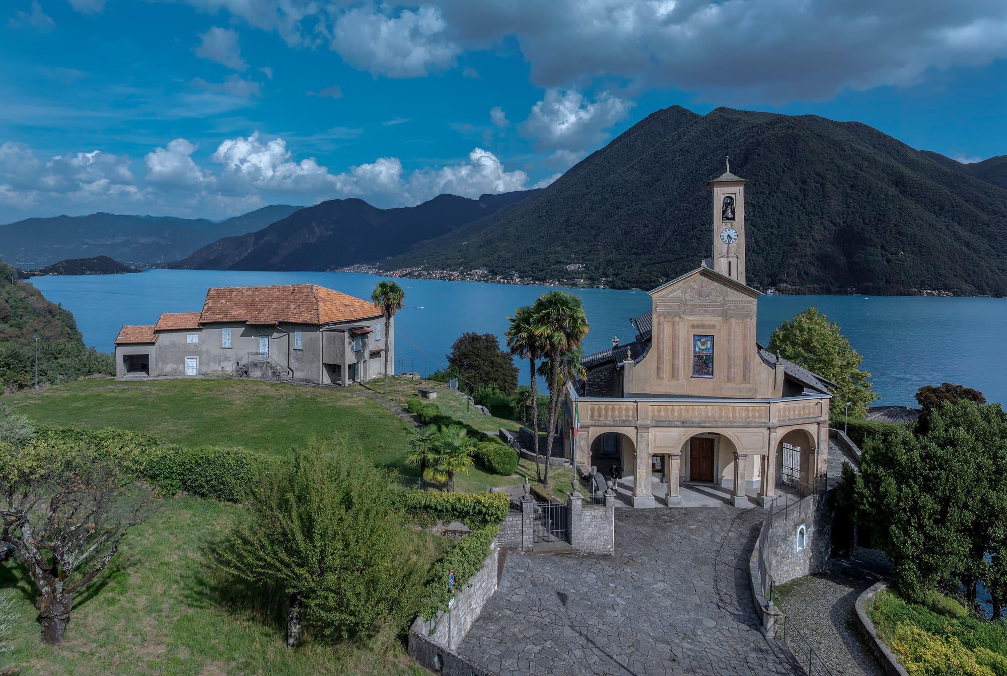
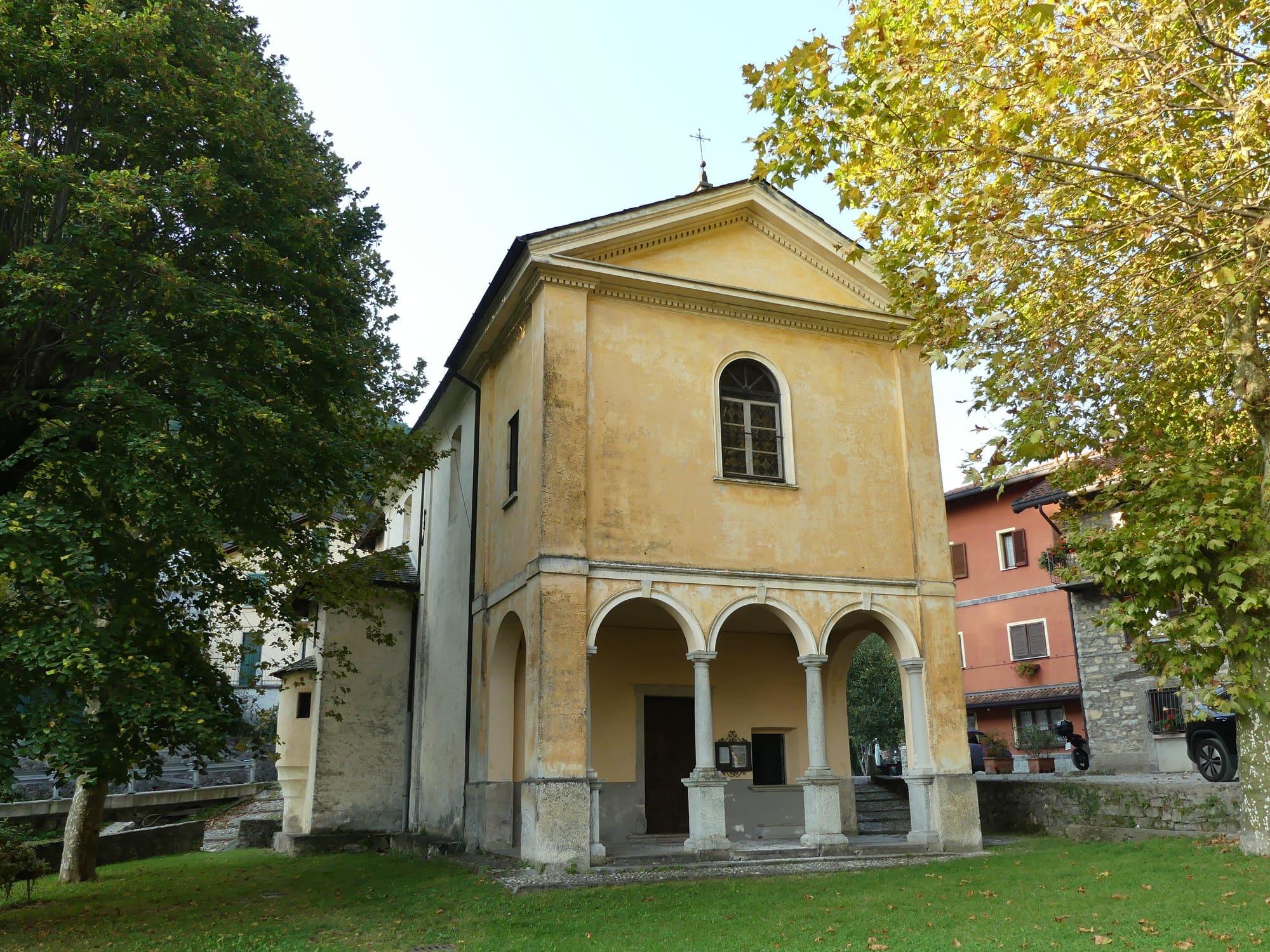
San Sisinnio, outside the village on a terrace with a wide view, was the mother church until 1632. It has a Romanesque bell tower, the patron saint painted on the façade by Bernardino Barelli, and altar fronts of coloured scagliola. Three kilometres away, on the road to Schignano, the sanctuary known as Sant'Anna is dedicated to the Madonna di Gelpio. It keeps frescoes by Isidoro Bianchi from the first half of the seventeenth century, framed by white stucco attributed to Giovan Battista Barberini. The feast of Sant'Anna is celebrated there on 26 July.
The cable car to Pigra
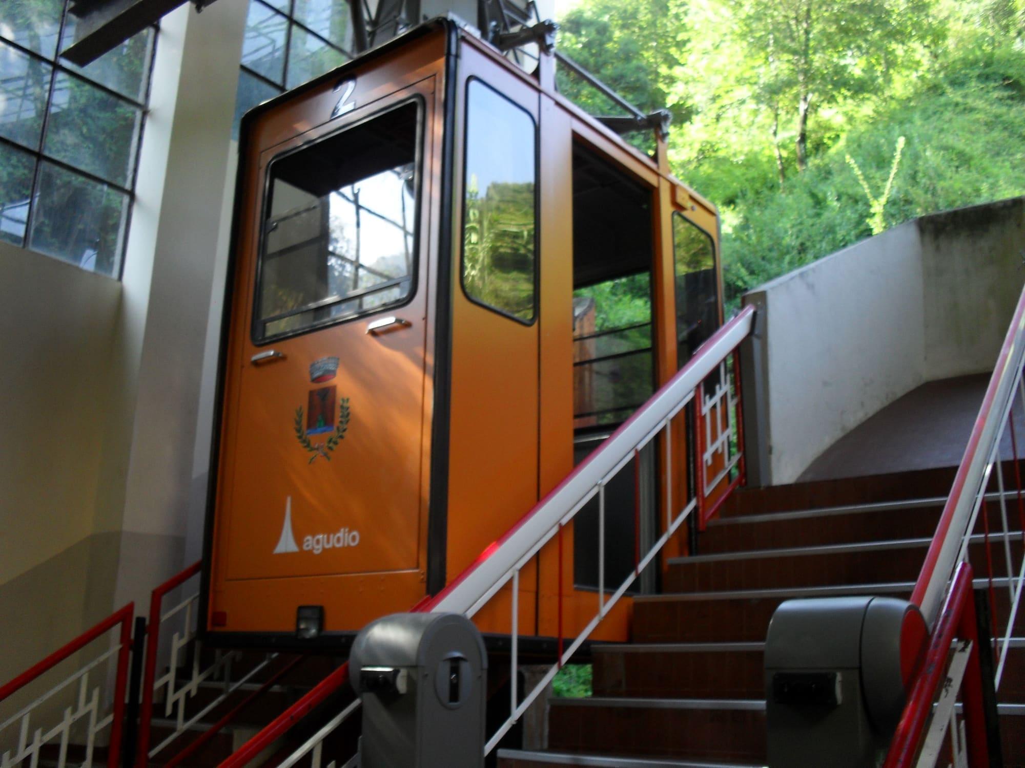
The Argegno–Pigra cable car opened in 1971 and is a means of public transport. The valley station is about a hundred metres from the landing stage. Two twelve-seat cabins, with no operator on board, climb about 650 metres in six minutes, on a gradient that reaches 95 per cent in places.
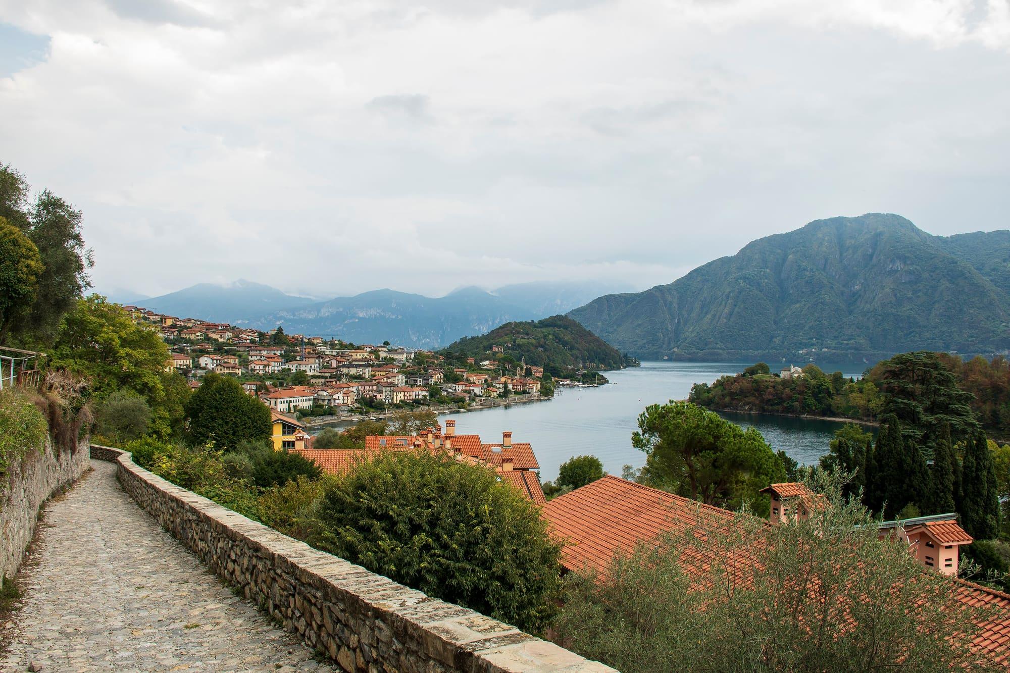
At the top is Pigra, a village of just over two hundred people at 860 metres, with a terrace from which you look down on the first basin. Paths lead from Pigra into the valley: you can walk down to Colonno and join the Greenway, or carry on towards the villages of the Val d'Intelvi.
Into the Val d'Intelvi
From Argegno the provincial road climbs the Telo valley towards Dizzasco and San Fedele Intelvi. The valley borders Switzerland and runs down towards Lake Lugano. This is the valley of the maestri antelami and maestri intelvesi, the masons, sculptors, stuccoists and painters who from the Middle Ages to the eighteenth century worked from Genoa to Rome, from Venice to Vienna and in Germany. The stucco and scagliola in Argegno's churches come from this tradition.
The old mule track that led up to the sanctuary of Sant'Anna is still there: it is cut into the steep side of the Telo valley and has small wayside shrines along the way. Higher up, at Schignano, the Mascarun parade every year at Carnival, in wooden masks and colourful costumes, together with the Brut, dressed in rags; on Shrove Tuesday the Carlisep, the Carnival effigy, is burned.
Events
See allThings to see
Experiences
Centro Lago
Walking the Greenway
About eleven kilometres from Colonno to Griante, through villages, along mule tracks and beside the lake.
3 h – 5 h11.3 km · +214 mOpen access
Val d'Intelvi
The balconies of the Val d'Intelvi
From Argegno to Pigra in six minutes by cable car, more than six hundred and fifty metres above the lake.
3 h – 6 h5.7 km · +9 m
First Basin
Sunset from above
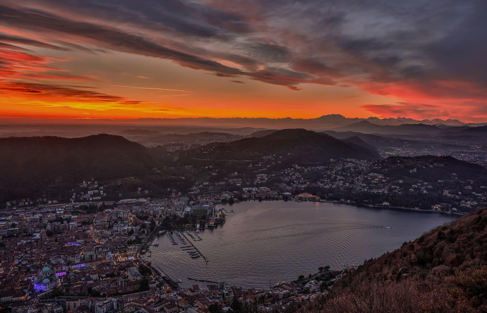
Four places to watch the sunset over the lake: Brunate and Pigra high above the Como branch, the Castello di Vezio above Varenna and Punta Spartivento at Bellagio.
1 h 30 – 2 h 30
Centro Lago
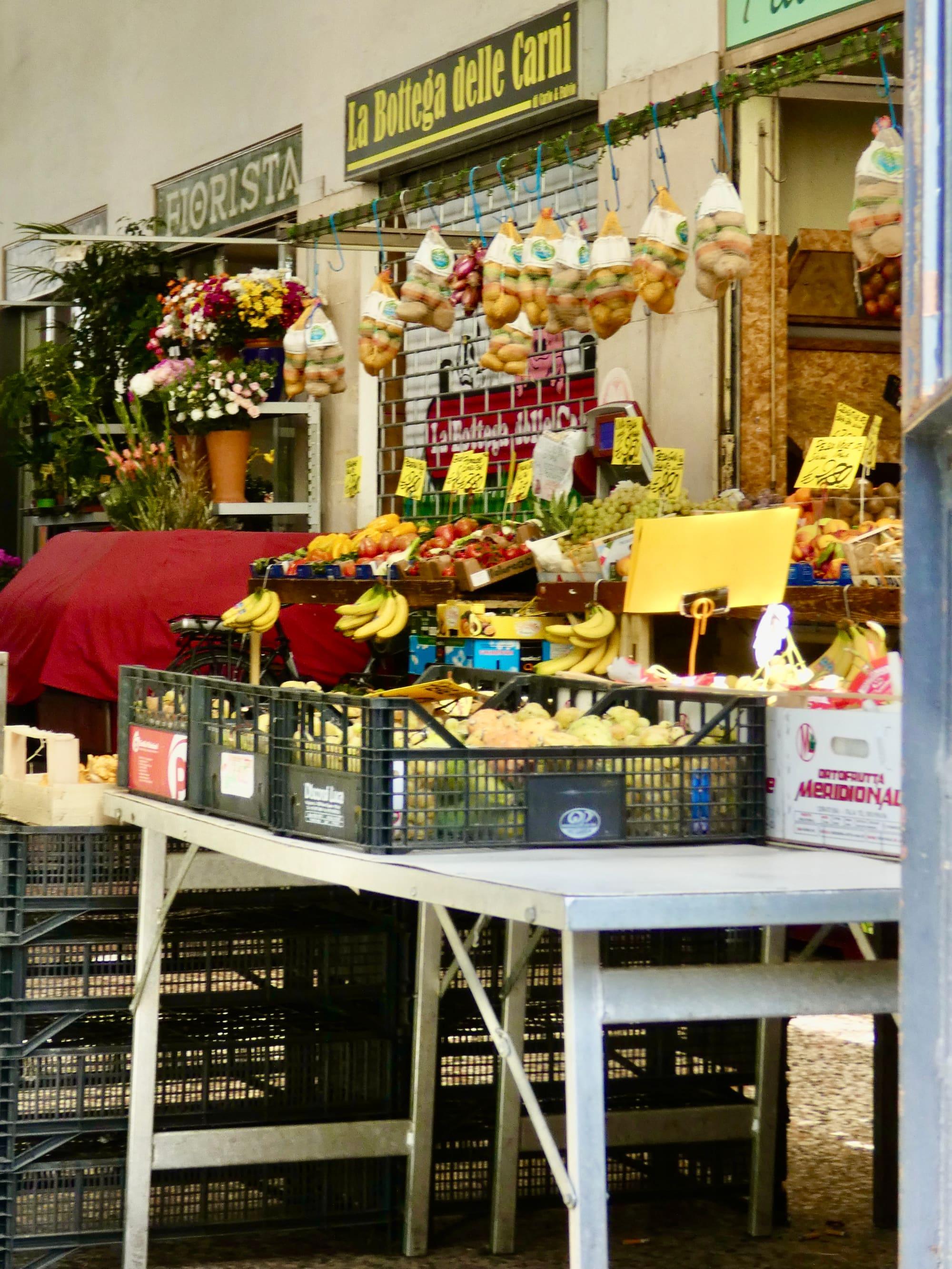
The lake markets
The weekly markets of Como, Lecco and the lake villages: days and squares.
1 h – 2 h 30Open access
Events
Before you go
How long it takes
- from Milan1 h 25Train, then bus
- from Como28 minBus · by car 30 min
- from Lecco1 h 25Bus, then boat · by car 1 h 15
Typical door-to-door times by public transport, changes included. From Milan, counted from Centrale station.
Parking and services
3 public toilets12 drinking fountains1 pharmacy3 cash machines
Car parks and services on the map
Within two and a half kilometres of the centre; check car park spaces and fees on arrival.
How do you get up to Pigra and where can you buy a ticket?
The cable car links Argegno with Pigra in six minutes. Tickets are sold at the stations, cards are accepted and Io Viaggio passes are valid. Check the timetable before setting off.
What is there to do in Pigra once up?
First of all you look: the first basin of the lake from more than six hundred and fifty metres higher, with Como at the far end. Then easy paths through meadows and woods above the village, and a couple of trattorias. Walkers return to Argegno on foot by the old mule track, an hour and a half of steep descent.
- Population
- 700
- Elevation
- 220 m
Updated 22 October 2026
The mountains around the village hide the sun before astronomical sunset: sunrise and sunset are worked out on the village's own horizon.
Today, 1 November, estimated sunlight at the reference point: first at 08:30 and last at 13:38, giving 5 h 09 of direct sun, out of 10 h 06 of daylight.
Today the sun leaves between 13:01 and 13:53, depending on the street.
JuneDecembertoday
Watch the shadow reach Argegno today
See from Argegno where the sun goes, in 3D
The sun at an exact spot in Argegno: your hotel, a beach, a street
The highest summit in view from here is Cima del Desénigo, 2845 m, 44 kilometres away.
- Cima del Desénigo, 2845 m, 44 km
- Matòk dol Petóo, 2305 m, 27 km
- Pizzo Alto, 2512 m, 30 km
- Dosso di Lavedo, 329 m, 6 km
- Pizzo Melàsc, 2465 m, 32 km
- Pizzo di Trona, 2510 m, 33 km
- Monte Pilastro, 1827 m, 18 km
- Grigna Settentrionale, 2410 m, 20 km
- Ceppo del Mucchio, 1081 m, 7 km
- Monte Fopa, 1116 m, 7 km
- Piz del Luser, 1405 m, 5 km
- Braga di Cavallo, 1352 m, 10 km
- Monte Preaola, 1413 m, 8 km
- Monte Bolettone, 1318 m, 13 km
- Monte Boletto, 1238 m, 12 km
- Monte Gringo, 1079 m, 2 km
- Pizzo della Croce, 1491 m, 6 km
- Monte Gireglio, 974 m, 2 km
The ochre line follows today's sun path and marks the estimated times of its first and last appearance above the mountains. Drag the panorama to see all of it.
How it is drawn
Paler ridges are farther away; heights are stretched two and a half times. Houses are not drawn, nor are trees within half a kilometre. Terrain © Regione Lombardia (CC BY 4.0); summits © OpenStreetMap contributors.
Official bathing sites nearby, with their water quality classifications.
- Fronte Lido Argegno0.3 kmExcellent · for 11 seasons · in July, sun estimated until 19:33 at the marked point3D — see from the beach at Fronte Lido Argegno where the sun goes
How do I get to Argegno from Como?
By the C110 bus in about thirty-five minutes, or by boat, which calls at Argegno on the Como–Colico line, which is slower. By car the Regina road is narrow.
When is the weekly market?
The weekly market is on Mondays, in Piazza Rosati Dante.
On the map
What is around, and how far.
© OpenStreetMap contributors · ODbL
Nearby
Typical door-to-door times.
Sources and credits
- Maps, parking, services and distances: © OpenStreetMap contributors (ODbL).
- Freely licensed photographs: authors and licences under Photograph credits.
Sources and credits
- Maps, parking, services and distances: © OpenStreetMap contributors (ODbL).
- Freely licensed photographs: authors and licences under Photograph credits.