Skip to content

Brunate

Volta Lighthouse

Visit duration
45 min – 1 h 30
Booking
Not required
Area
First Basin
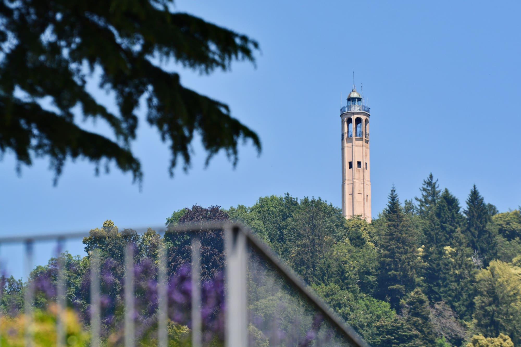
The lighthouse seen from the Parco Volta, between the cedars.Fabio Caironi · CC BY-SA 4.0
  • Fabio Caironi · CC BY-SA 4.0
  • Fabio Caironi · CC BY-SA 4.0

1 / 3

The lighthouse seen from the Parco Volta, between the cedars.

Fabio Caironi · CC BY-SA 4.0

Why go

The lighthouse was built in 1927 at San Maurizio, above Brunate, for the centenary of Alessandro Volta's death, to a design by the engineer Gabriele Giussani.

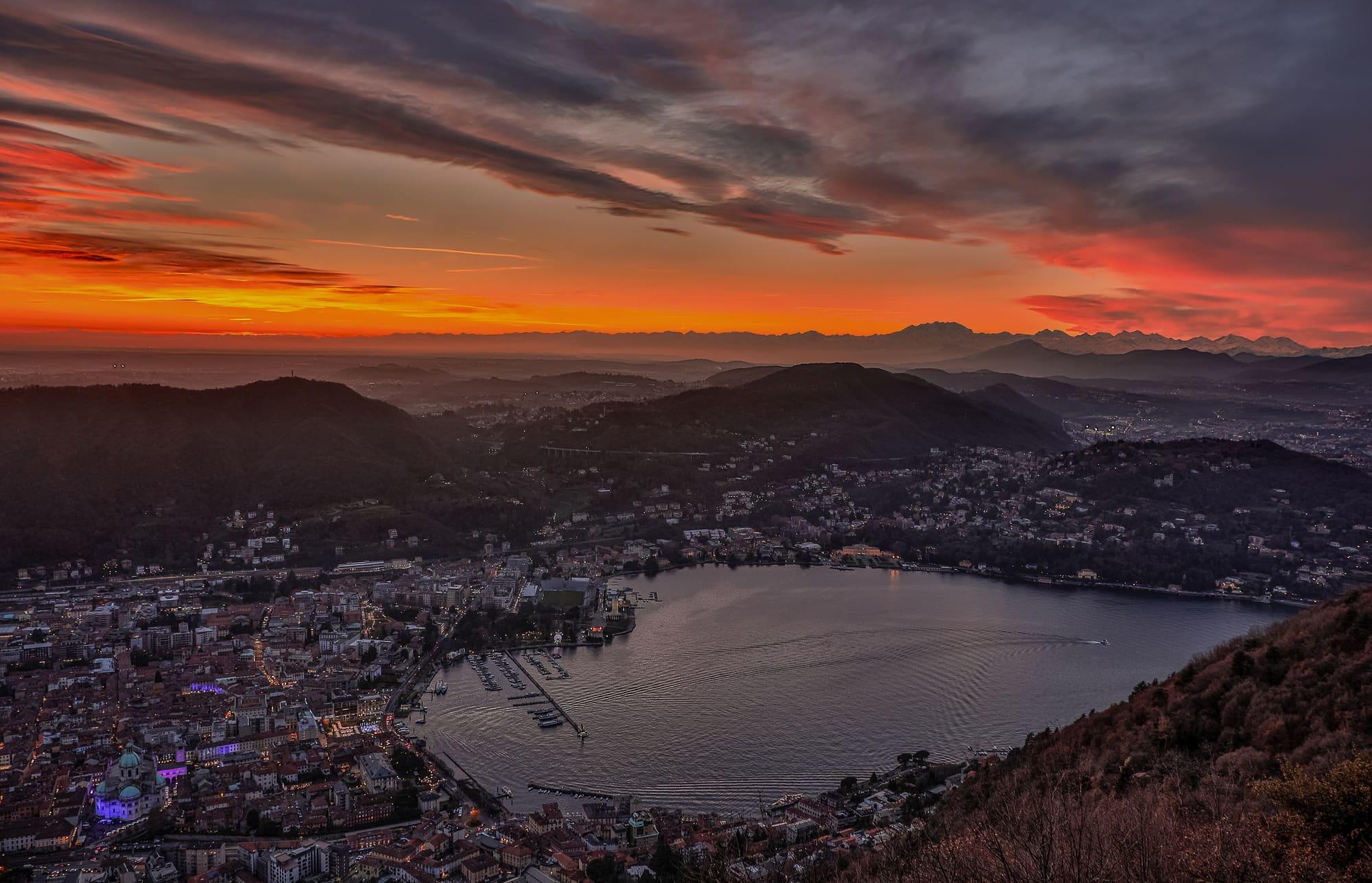
The tower is 29 metres high and stands 909 metres above sea level; inside, a spiral staircase of 143 steps climbs to two circular balconies. The lantern at the top has green, white and red lights, the colours of the Italian flag. It is a monument and a viewpoint in one: from the terrace you see the first basin, the Brianza, the plain and, on clear days, Monte Rosa. The lighthouse stands in the municipality of Brunate but belongs to the Comune di Como.
  • The octagonal tower of 1927, with its lantern in the colours of the Italian flag.
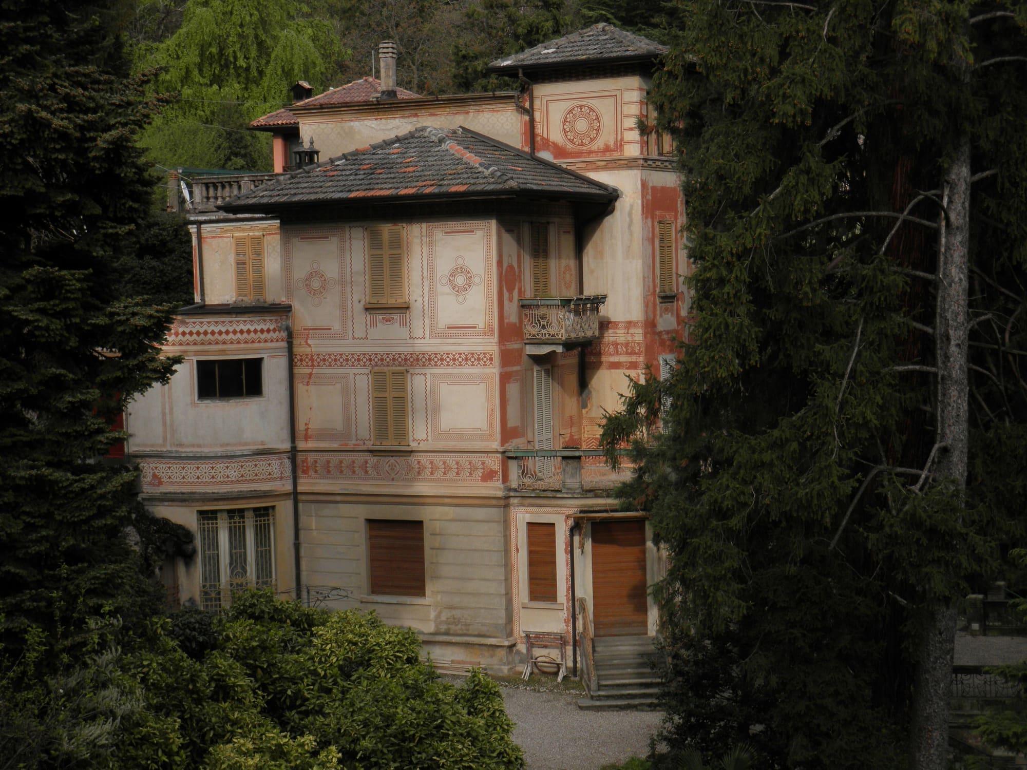
  • The walk up from Brunate between Liberty villas.

Getting there

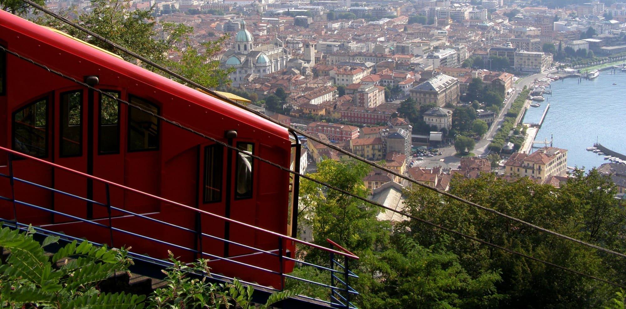
  • Funicular from Como to Brunate, then 30 minutes uphill on foot.
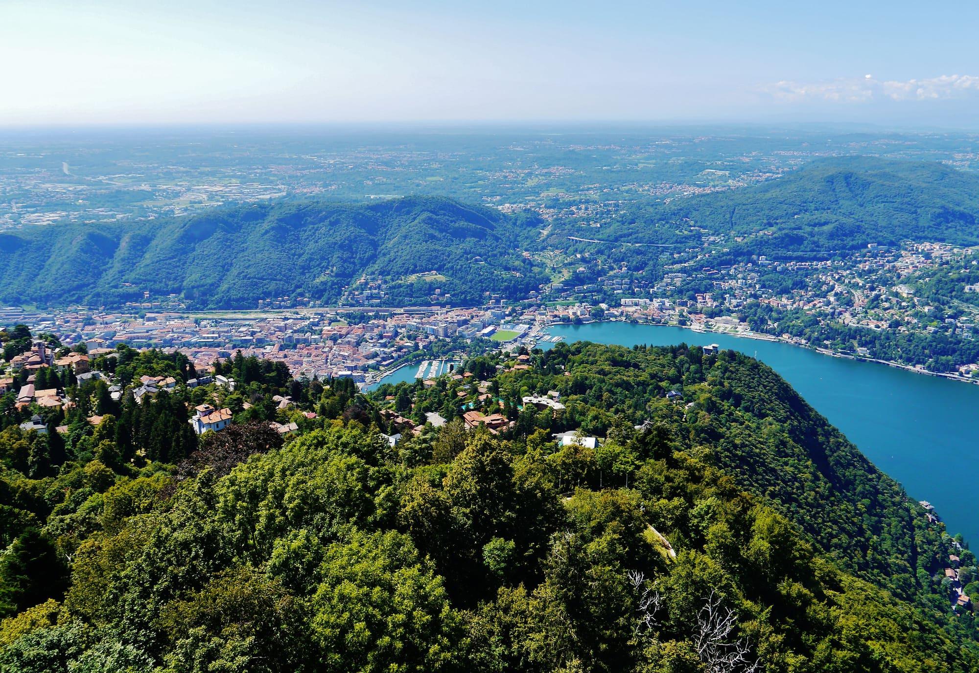
The view from the lighthouse: the woods below, Como at the end of the lake and, beyond, the hills and the plain in the haze.Zairon · CC BY-SA 4.0

Accessibility

  • A long flight of steps leads to the viewing terrace; the platform at the top is reached by the spiral staircase inside, 143 steps.

Practical information

Facilities

  • Car park 7 m away · free
  • Public toilets 92 m away

Distances from the point on the map.

The light

In winter there is the dry air and the city lights coming on below; in late September and mid-March the sun sets right behind Monte Rosa, in winter further south. Go up half an hour before sunset. Check access conditions at the lighthouse before visiting.

Faces
south
Best light
sunset
Full moon
Tue 24 Nov · 17:29 · north-east
JuneDecember
10°20°08:4816:34ESW
The skyline measured every two degrees out to twenty-two kilometres, and to two hundred where the near mountains let the Alps show. The solid line is the sun's arc at the summer solstice, which leaves the top of the frame; the dashed one is the winter solstice, with the hour it comes out from behind the mountain and the hour it goes back.

See from here where the sun goes, in 3D

All the photo spots

Webcams

Updated 22 October 2026

The mountains from here

The highest summit in view from here is Gran Paradiso, 4061 m, 147 kilometres away.

Open the panorama with the summits by name
Poggio Mirigètt, 861 m, 0.8 kmPoggio Mirigètt861Bric Froid / Punta Ramière, 3302 m, 199.5 kmBric Froid / Punta Ramière3302 · 200 kmLa Pioggera, 447 m, 9.3 kmLa Pioggera447Pointe de Charbonnel, 3752 m, 170 kmPointe de Charbonnel3752 · 170 kmGran Paradiso, 4061 m, 146.5 kmGran Paradiso4061 · 147 kmMonte Bisbino, 1325 m, 6 kmMonte Bisbino1325Poncione della Costa, 1251 m, 6 kmPoncione della Costa1251Monte San Bernardo settentrionale, 1351 m, 7.9 kmMonte San Bernardo settentrionale1351Monte Colmegnone, 1378 m, 7.5 kmMonte Colmegnone1378Monte Bregagno, 2107 m, 31.6 kmMonte Bregagno2107 · 32 kmESESSWWNWNNE
  • Monte San Bernardo settentrionale, 1351 m, 8 km
  • Monte Colmegnone, 1378 m, 8 km
  • Monte Bregagno, 2107 m, 32 km
  • Poggio Mirigètt, 861 m, 1 km
  • Bric Froid / Punta Ramière, 3302 m, 200 km
  • La Pioggera, 447 m, 9 km
  • Pointe de Charbonnel, 3752 m, 170 km
  • Gran Paradiso, 4061 m, 147 km
  • Monte Bisbino, 1325 m, 6 km
  • Poncione della Costa, 1251 m, 6 km

The ochre line follows today's sun path and marks the estimated times of its first and last appearance above the mountains. Drag the panorama to see all of it.

How it is drawn
Paler ridges are farther away; heights are stretched two and a half times. Houses are not drawn, nor are trees within half a kilometre. Terrain © Regione Lombardia (CC BY 4.0); summits © OpenStreetMap contributors.

On the map

Explore the lake
BrunateFaro Voltiano

© OpenStreetMap contributors · ODbL

What's on nearby

Events within a few kilometres, on now or coming up.

See all

Nearby: places, experiences, services

Distances as the crow flies.

Sources and credits

Verified at source10 Oct 2026Comune di Brunateopens in a new tab
Sources and credits

Verified at source10 Oct 2026Comune di Brunateopens in a new tab