


22Aug 2027
Upper Lake
Musso
- Ideal for
- Lake history, short stops along the Regina
- Time needed
- An hour
- Best season
- All year; the Sasso reads best in low sun
- What to see
- The Sasso seen from the water rather than the road
- Best reached by
- C110 bus along the Regina; boat
- Kaitu · CC BY 4.0
- Corradox · CC BY-SA 4.0
The place
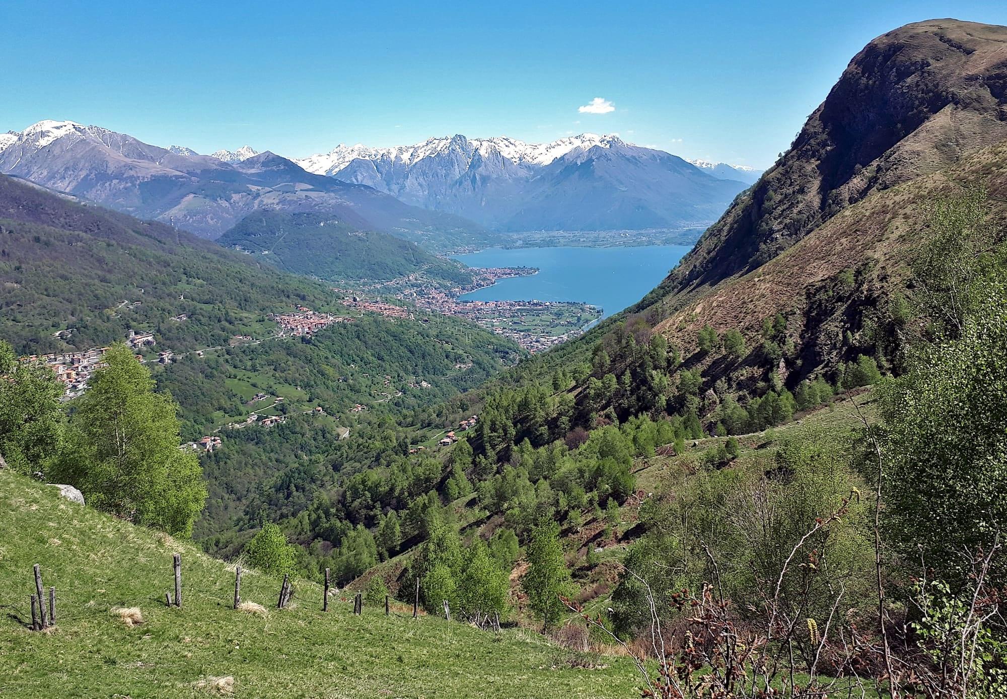
The Sasso di Musso, the pale, squared headland you pass coming up the western shore, is a marble quarry worked for centuries: its stone faces Como's cathedral.
The trunk road runs through it in a tunnel. On the same rock stood the fortress of Gian Giacomo Medici, the Medeghino, who between 1523 and 1532 controlled the lake's traffic from here with a fleet of his own; on his surrender the fortress was razed.
The Sasso di Musso, the pale, squared headland you pass coming up the western shore, is a marble quarry worked for centuries: its stone faces Como's cathedral.
Read on
The trunk road runs through it in a tunnel. On the same rock stood the fortress of Gian Giacomo Medici, the Medeghino, who between 1523 and 1532 controlled the lake's traffic from here with a fleet of his own; on his surrender the fortress was razed.
The Sasso and its marble
The Sasso di Musso is the pale, squared headland that separates the village from Dongo. It is a white marble quarry worked for centuries, which has cut the rock back into the regular shape you see from the road. From 1452 Musso marble became the main material of Como Cathedral, and the façade, built between 1457 and 1486, is made of this stone. In the village the same marble forms the columns of the church of San Biagio.
The main road passes through the Sasso in a tunnel. From the boat between Menaggio and Gravedona the whole quarry face can be seen at once. There are no visitor facilities at the quarry; the story of the quarries is told in the village's Museo Civico Storico.
The Medeghino's castle
A castle stood on the Sasso, built in the fourteenth century by the Malacrida family for the Visconti. In 1523 Gian Giacomo Medici, known as the Medeghino, brother of the future Pope Pius IV, seized it and installed himself there as castellan in the name of the Duke of Milan, Francesco II Sforza. The Medeghino turned the castle into a fortress and armed a fleet of his own, with which he controlled traffic on the upper lake. For some years he acted as an independent lord between Milan and the Grisons, against whom he fought the two Musso wars. In 1532, after the second war, fought against the duke and the Swiss as well, he came to terms with the duke: he gave up Musso in exchange for the marquisate of Marignano, and the fortress was dismantled.
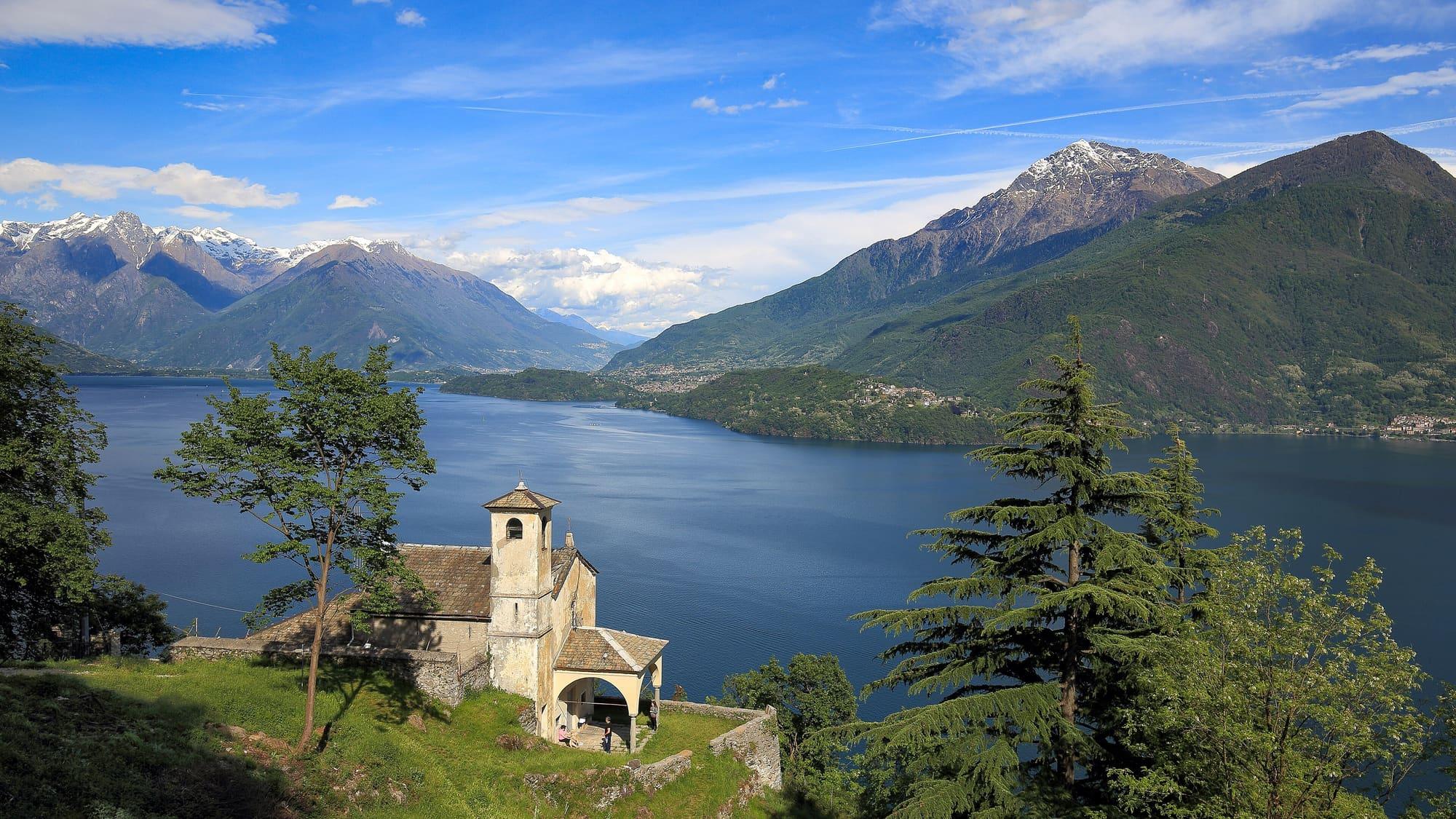
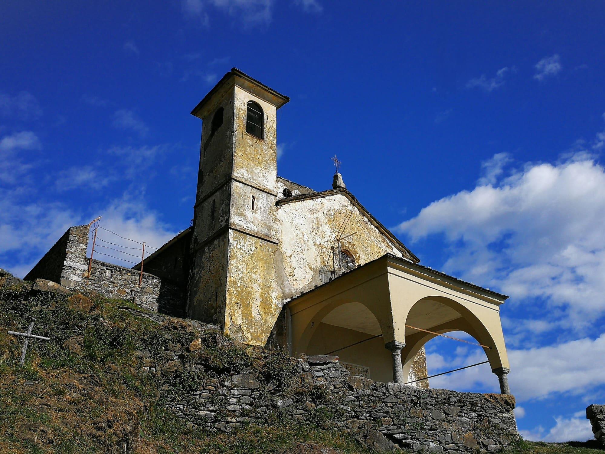
Only a few walls of the fortress remain. On the ground it occupied stand the church of Sant'Eufemia, which was part of the fortress and was rebuilt around 1622, and the Giardino del Merlo, the botanical garden laid out between 1858 and 1883 by the engineer Giovanni Manzi.
The village's history
Musso appears in the statutes of Como in 1335 as the commune responsible for maintaining a stretch of the Via Regina in the pieve of Dongo. In 1472 Pianello del Lario separated from Musso. The Malacrida held the fief for most of the fifteenth and sixteenth centuries, and in 1617 they ceded it to the Bossi family. Besides quarrying, people in Musso reared silkworms, and many from the upper lake emigrated to the Americas and elsewhere in Europe.
The Museo Civico Storico, opened in 2017, tells these stories along with those of the quarries and the castle. On 27 April 1945 the German column in which Mussolini was travelling was stopped at a partisan checkpoint just beyond the village of Musso. The lorries were then searched at Dongo, where Mussolini was recognised and arrested.
The church of San Biagio
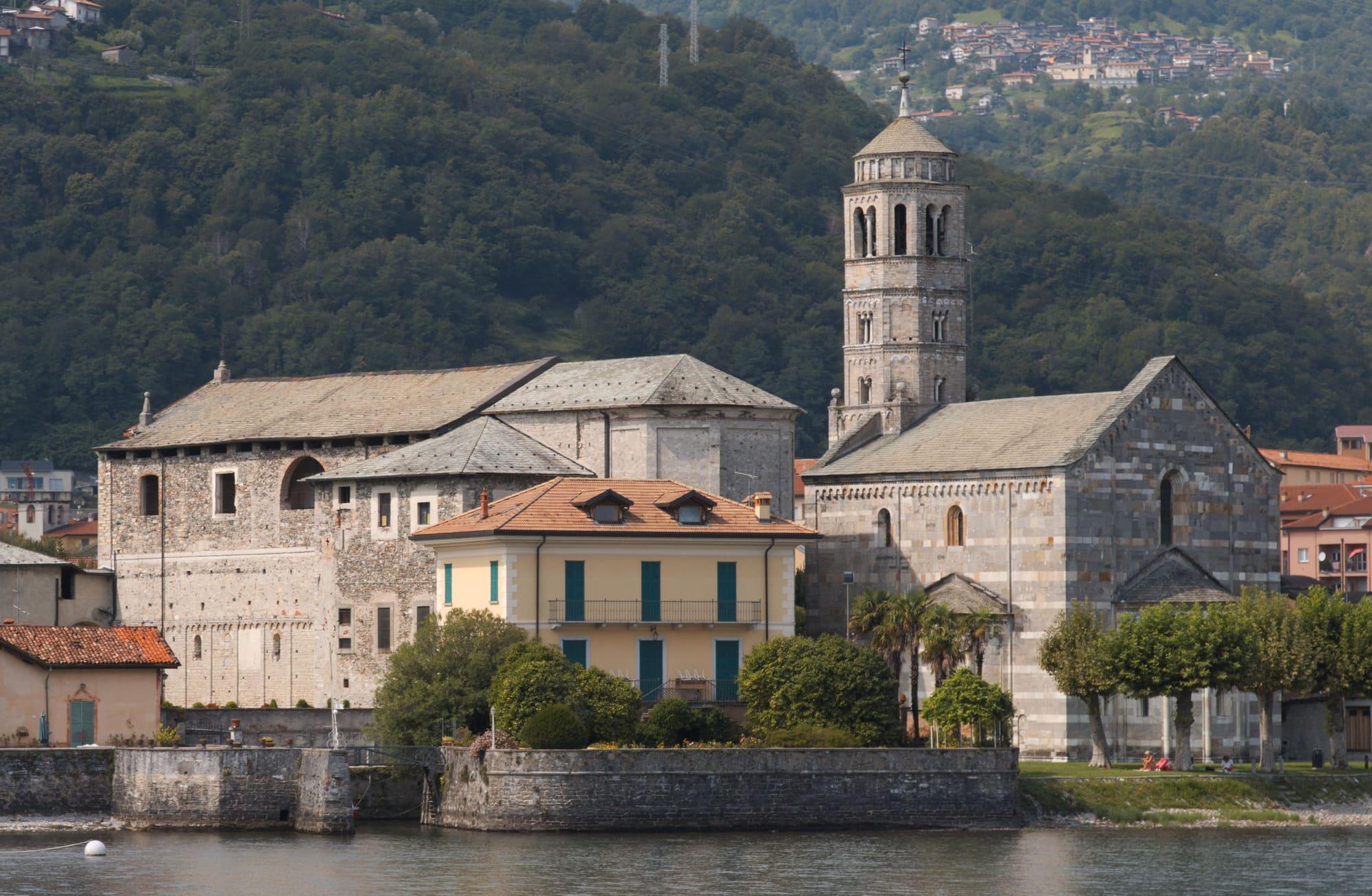
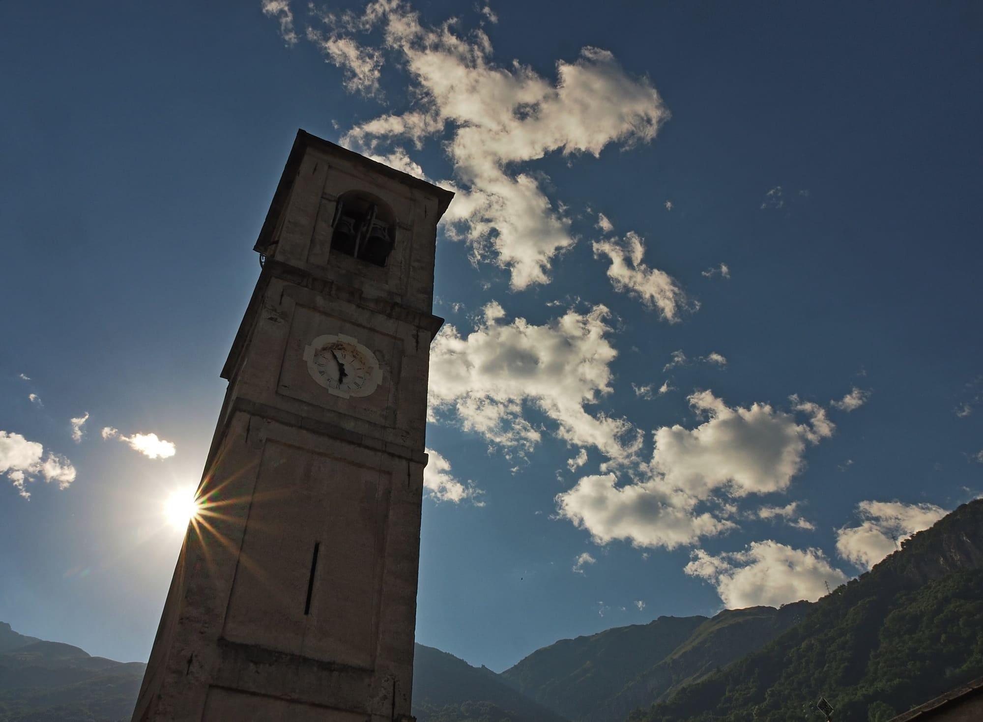
San Biagio, in the centre of the village, began in the twelfth century as the church of Saints Nazarius and Celsus and became the parish church under its present name in 1387. The building, in the Lombard Romanesque style, bears the date 1507 on the lintel of the central portal. Its nave and two aisles are separated by columns of white Musso marble, and the lunettes above the portals are painted with scenes from the saint's life. The rose window was walled up in 1812, when a Serassi organ was installed against the inside of the façade. The bell tower by the road dates from 1730.
The oldest works inside are a Saint Anthony Abbot and a Saint Defendens by the local painter Battista Malacrida, the first dated 1502. San Biagio is the village's patron saint, celebrated on 3 February. Above Musso stand two small churches that can be reached only by footpath: Sant'Eufemia on the Sasso and, higher up, San Bernardo on the Via dei Monti Lariani.
Events
See allThings to see
Experiences
Upper Lake
By bike on the upper lake
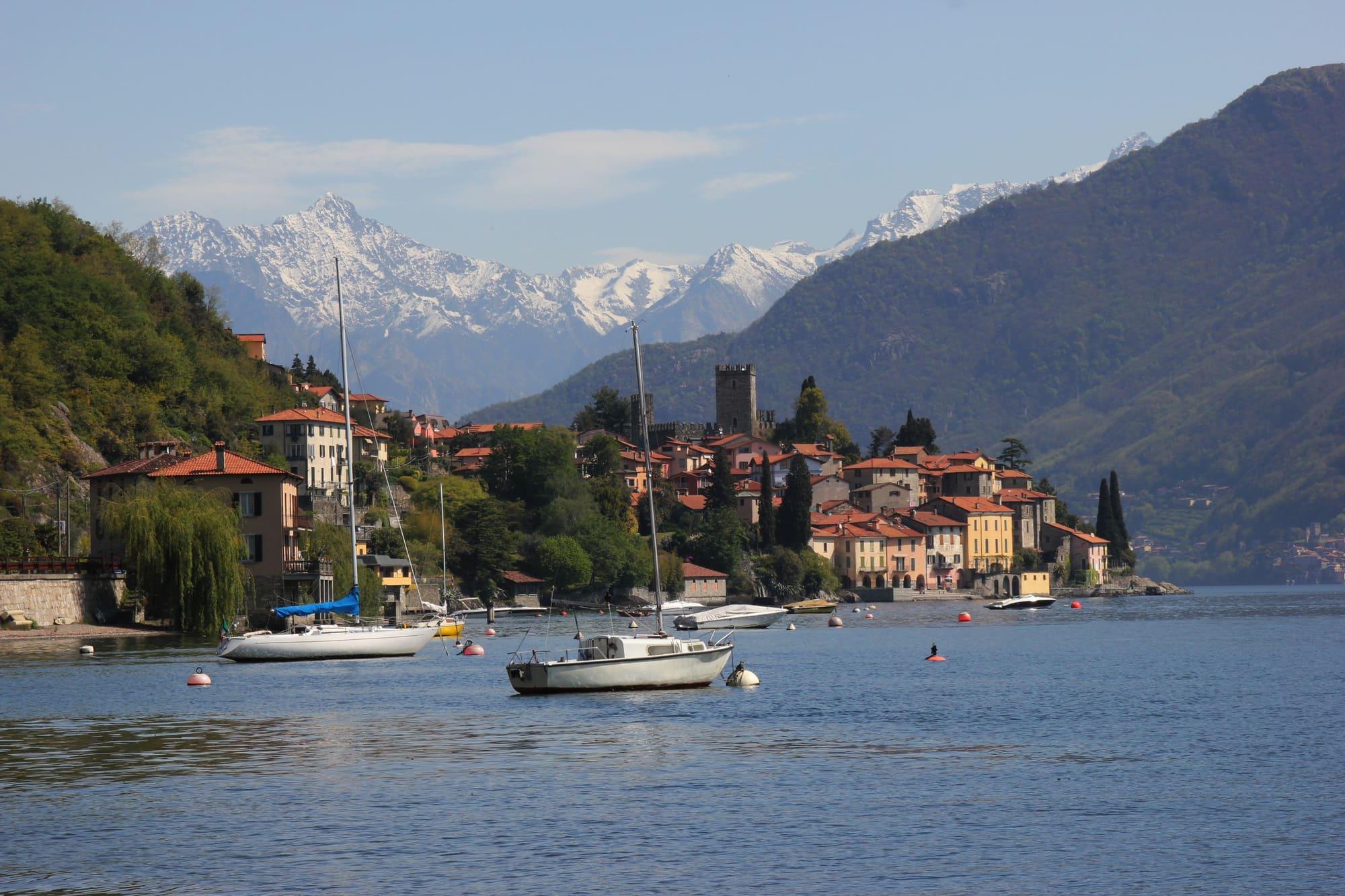
Almost level cycle and foot paths between the Pian di Spagna, Lake Mezzola and the Valtellina, with the train to bring you back.
3 h – 7 h27.5 km · +71 m
Upper Lake
From Dongo to Rezzonico
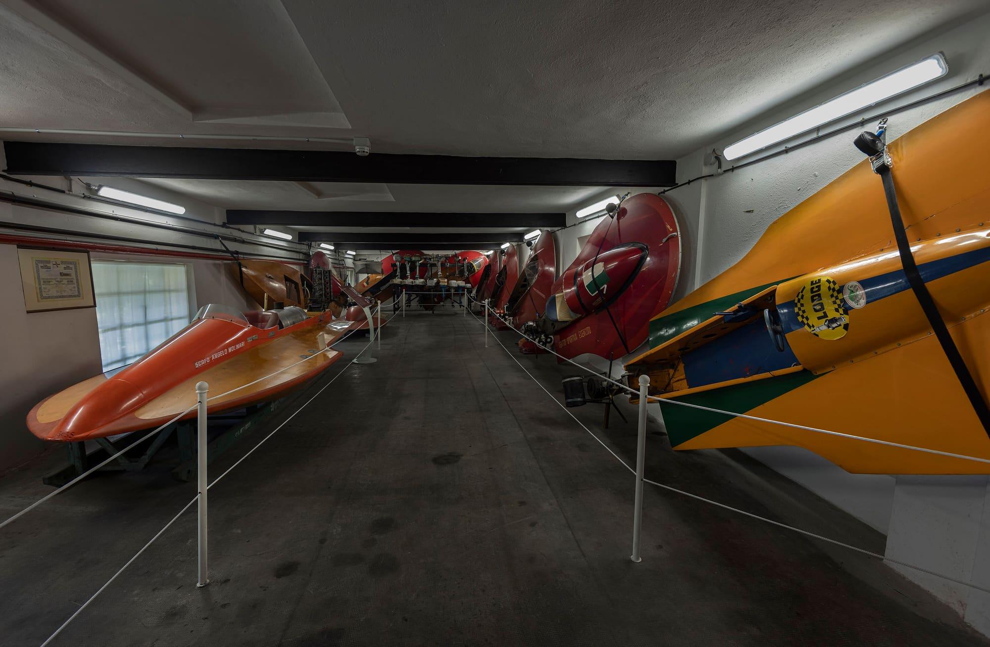
Ten kilometres along the flank of Monte Bregagno, on the Sentiero del Giubileo: from Sant'Eufemia on the Sasso di Musso, through the hamlets of Musso, Pianello and Cremia, to the village of Rezzonico and its castle.
3 h 30 – 4 h 30Open access
Events
Before you go
How long it takes
- from Milan1 h 50Train, then boat, then bus
- from Como1 h 15Bus · by car 1 h 05
- from Lecco1 h 10Train, then boat, then bus · by car 1 h 30
Typical door-to-door times by public transport, changes included. From Milan, counted from Centrale station.
Parking and services
1 public toilet14 drinking fountains1 pharmacy1 defibrillator
Car parks and services on the map
Within two and a half kilometres of the centre; check car park spaces and fees on arrival.
- Area
- The Upper Lake
- Population
- 1,000
- Elevation
- 202 m
Updated 27 October 2026
Can I climb to the Medeghino's fortress?
Little of the fortress remains, since it was razed in 1532. At the foot of the ruins lies the Giardino del Merlo, the botanical garden Giovanni Manzi created in the nineteenth century, with its path climbing among the rocks to the church of Sant'Eufemia. The Sasso, with Sant'Eufemia on top, is well seen from the shore and from the boat.
Is there a museum in Musso?
Yes, the Museo Civico Storico at Via Regina 18, in the middle of the village a few steps from the lake: the marble quarries, the Medeghino's castle, silkworm rearing and the silk industry, and emigration from the upper Lario to the Americas and Europe. It belongs to the Comune and is run by volunteers of the Musso passato e futuro association.
The mountains around the village hide the sun before astronomical sunset: sunrise and sunset are worked out on the village's own horizon.
Today, 1 November, estimated sunlight at the reference point: first at 08:04 and last at 14:57, giving 6 h 54 of direct sun, out of 10 h 06 of daylight.
JuneDecembertoday
Watch the shadow reach Musso today
See from Musso where the sun goes, in 3D
The sun at an exact spot in Musso: your hotel, a beach, a street
The highest summit in view from here is Pizzo Cengalo, 3369 m, 32 kilometres away.
- Monte Berlinghera, 1930 m, 14 km
- Il Cantaccio, 2798 m, 31 km
- Pizzo Cengalo, 3369 m, 32 km
- Sasso Manduino, 2888 m, 23 km
- Cima del Desénigo, 2845 m, 24 km
- Vetta di Ron, 3137 m, 55 km
- Monte Colombano, 2008 m, 11 km
- Monte Legnone, 2609 m, 11 km
- Matòk dol Petóo, 2305 m, 11 km
- Monte Legnoncino, 1711 m, 7 km
- Il Foppone, 1373 m, 9 km
- Monte Croce di Muggio, 1799 m, 9 km
- Il Matoch, 1380 m, 9 km
- Grigna Settentrionale, 2410 m, 20 km
- Monte Croce, 1780 m, 17 km
- Monte San Defendente, 1326 m, 12 km
- Monte Fopp, 1090 m, 14 km
- Monte Prasanto, 1245 m, 30 km
- Sasso di Musso, 1140 m, 2 km
The ochre line follows today's sun path and marks the estimated times of its first and last appearance above the mountains. Drag the panorama to see all of it.
How it is drawn
Paler ridges are farther away; heights are stretched two and a half times. Houses are not drawn, nor are trees within half a kilometre. Terrain © Regione Lombardia (CC BY 4.0); summits © OpenStreetMap contributors.
Official bathing sites nearby, with their water quality classifications.
- San Biagio0.1 kmGood · for 3 seasons · in July, sun estimated until 18:27 at the marked point3D — see from the beach at San Biagio where the sun goes
How can I reach Musso by public transport?
The C110 bus links Musso with other towns on the western shore along the Regina road. To arrive by boat, check with Navigazione Laghi whether the landing stage is served on your travel date, consulting notices as well as the timetable. The Sasso di Musso is visible from the water.
Where do I sleep and eat near Musso?
The village is squeezed between road and rock; Dongo and Gravedona, two and four kilometres away, have hotels, campsites and trattorias, and Domaso just beyond is the base for those who come for the wind.
Can you walk along the lake?
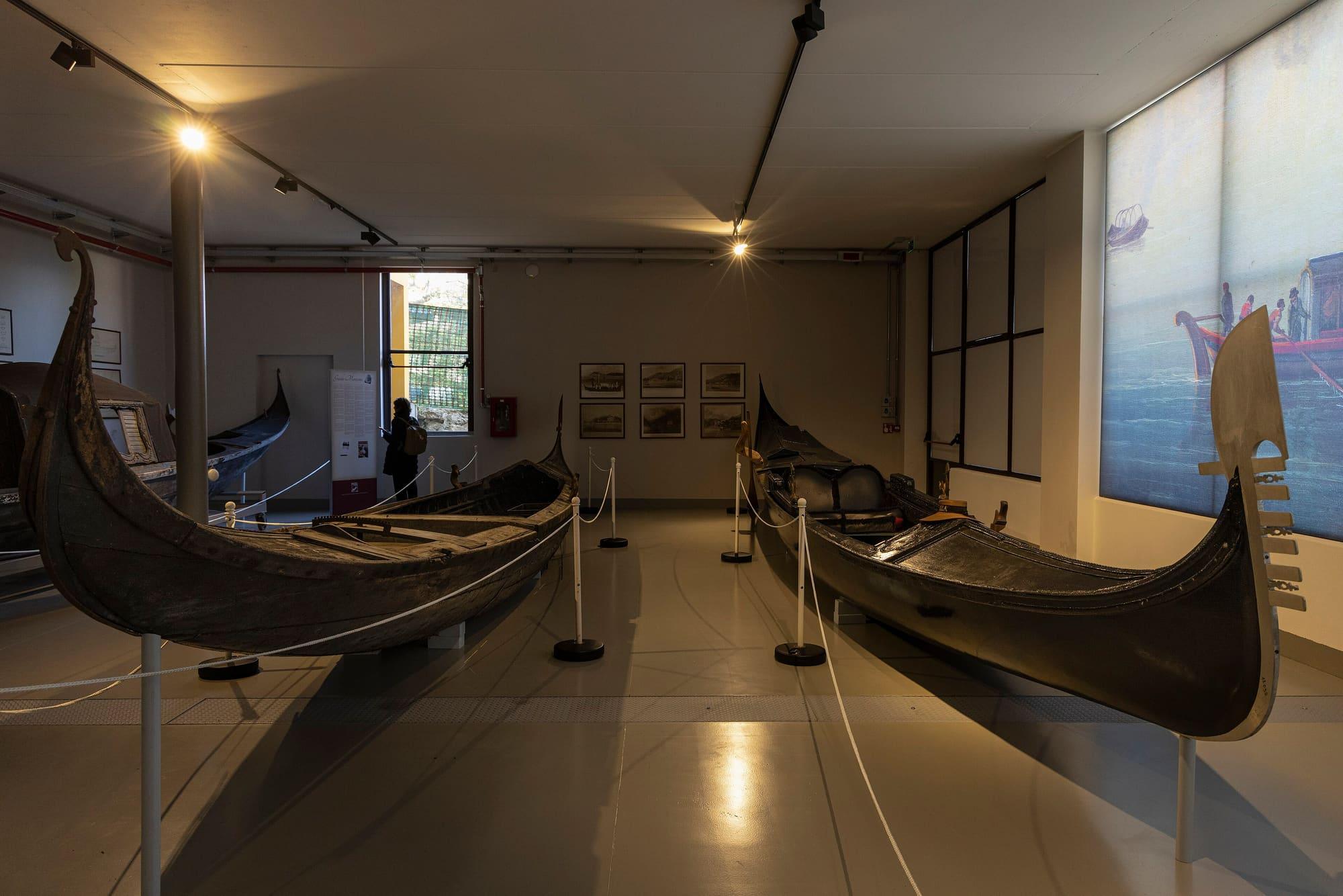
Yes, southwards. From Musso's landing stage a nearly level lakeside walk, on gravel and porphyry, leads to Cremia in about three kilometres: past the harbour of Pianello del Lario, the Museo della Barca Lariana, the landing stage and the church of San Martino, a few beaches, to the church of San Vito, with Monte Legnone ahead. It takes about fifty minutes and can be walked all year round, with a pushchair too. Before setting off, to the left of the pier, is Musso's little harbour.
On the map
What is around, and how far.
© OpenStreetMap contributors · ODbL
Nearby
Typical door-to-door times.
Sources and credits
- Maps, parking, services and distances: © OpenStreetMap contributors (ODbL).
- Freely licensed photographs: authors and licences under Photograph credits.
Sources and credits
- Maps, parking, services and distances: © OpenStreetMap contributors (ODbL).
- Freely licensed photographs: authors and licences under Photograph credits.