Skip to content

Upper Lake

From Dongo to Rezzonico

Ten kilometres along the flank of Monte Bregagno, on the Sentiero del Giubileo: from Sant'Eufemia on the Sasso di Musso, through the hamlets of Musso, Pianello and Cremia, to the village of Rezzonico and its castle.

Duration
3 h 30 – 4 h 30
Effort
Moderate
Access
Open to all
Car-free
Yes
With children
Not ideal
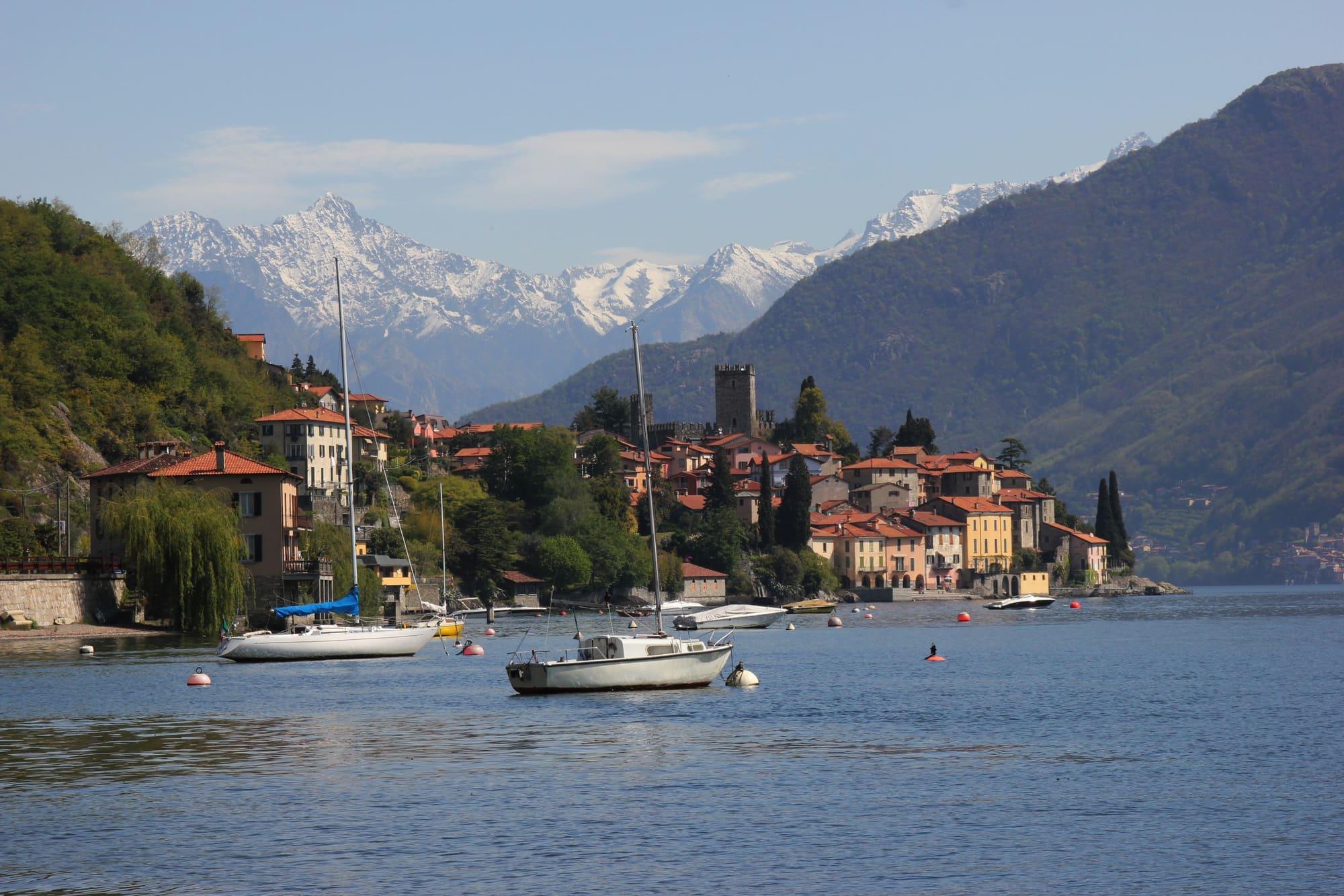
Rezzonico from the lake, with the castle tower among the houses, moored boats and snowy mountains behind.Roland1949 · CC BY-SA 3.0
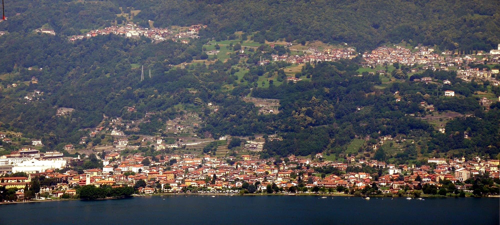
  • Uppa66 · CC BY-SA 4.0
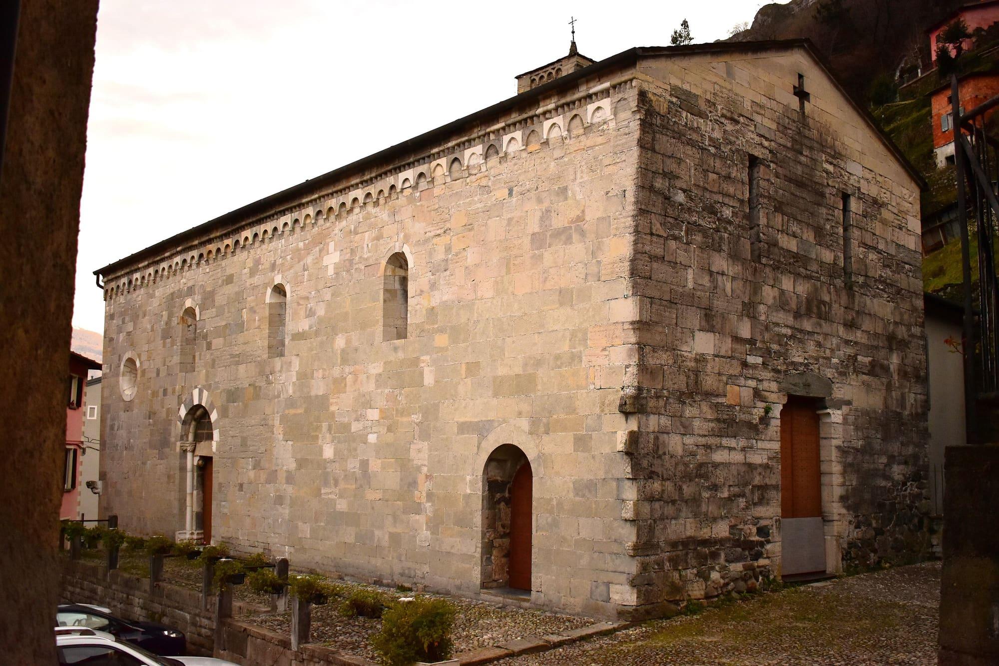
  • FabComo · CC BY-SA 4.0

1 / 3

Rezzonico from the lake, with the castle tower among the houses, moored boats and snowy mountains behind.

Roland1949 · CC BY-SA 3.0

How it works

The walk runs along the flank of Monte Bregagno, at an average height of about three hundred metres, from Dongo to Rezzonico through the hamlets of Musso, Pianello del Lario and Cremia.

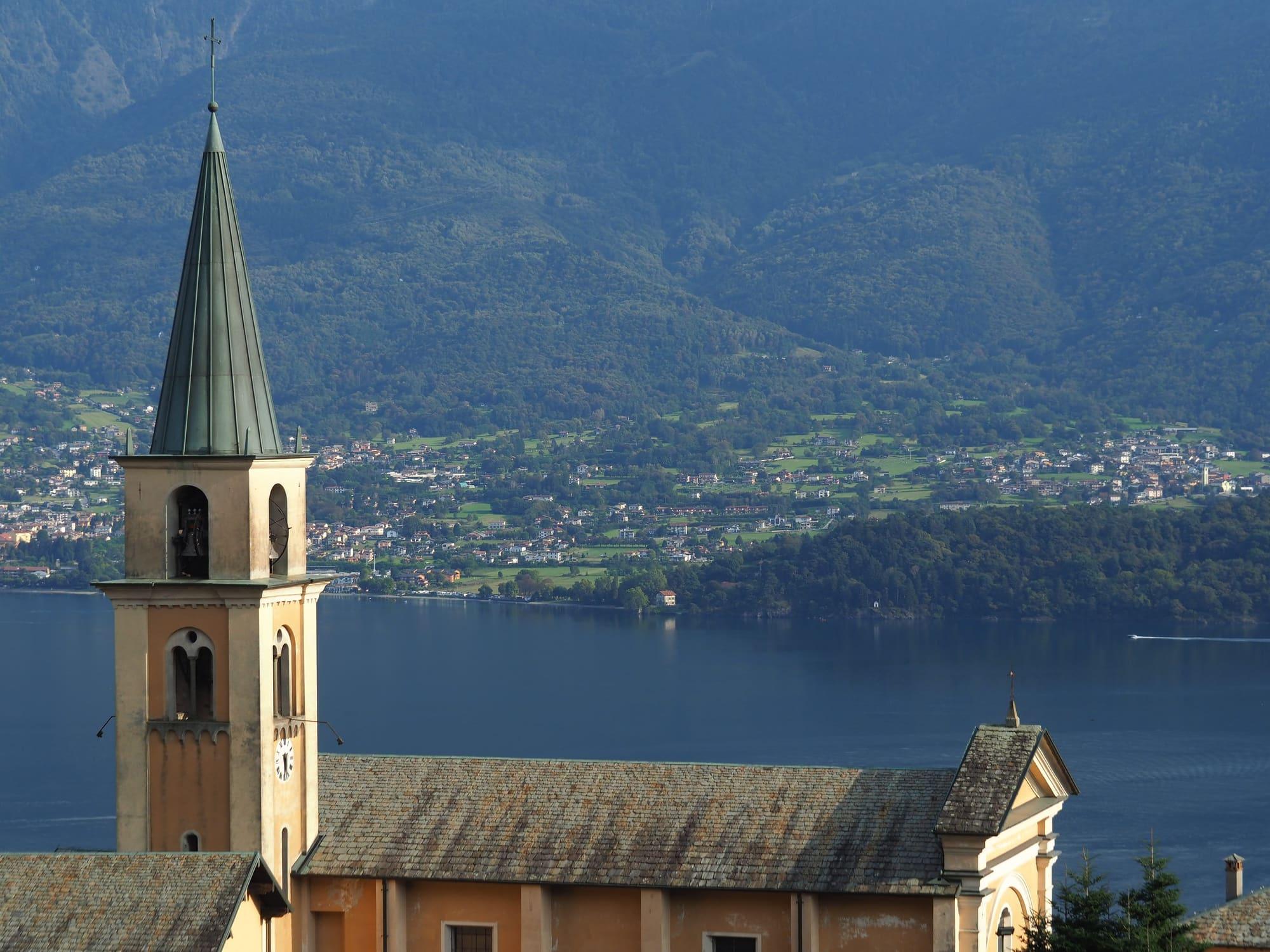
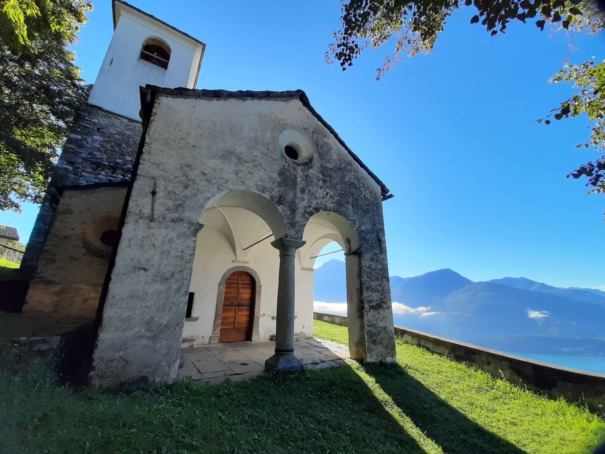
From Piazza Paracchini in Dongo you reach Santa Maria in Martinico and climb the cobbled path through chestnut woods to Sant'Eufemia, at 412 metres, on a ledge of the Sasso di Musso, with the view over the lake. A cobbled ramp and a flight of steps go down to Genico. By Via al Castello and a small bridge you reach San Rocco, cross the bridge over the Musso gully and the place called Bresciana, and by a path over two small valleys come to Coslia, at 307 metres, beside the Madonna della Neve. A footbridge over the Valle Grande, a mule track zigzagging through meadows and a flight of steps lead to Camlago, in Pianello del Lario. Past the little stone bridge over the Rio Campello you go through the hamlets of Cantone and Vignola, a narrow lane crosses Semurano and comes out under an archway, and after Cheis an arched bridge over the Rio Vezzedo leads to the little chapel at Vezzedo. A steep ramp goes down among vineyards and fields, another small bridge crosses the Valle delle Vacche and the line of the old Via Regina rounds Punta San Nicolao to a wayside shrine. From there, by a few steps and crossing the main road with care, you reach Rezzonico, a few steps from the castle and the village.

  1. Ten kilometres one way from the Dongo lakefront to Rezzonico, a hamlet of San Siro, with 350 metres of climb and a high point of 422, about four hours. The route is easy to moderate, with three short steep climbs, and can be walked all year.
  2. To find the way, follow the signs of the Sentiero del Giubileo 2000, on paved roads, mule tracks and paths.
  3. Dongo is reached on the C110 Como–Menaggio–Colico bus, Paracchini stop, or by boat; at Rezzonico, on arrival, cross the Regina road with care.

WhereDongo · Musso · Pianello del Lario · Cremia · San Siro

On the map

Explore the lake
DongoMussoCremiaSan SiroPianello del LarioFrom Dongo to Rezzonico

© OpenStreetMap contributors · ODbL

What's on nearby

Events within a few kilometres, on now or coming up.

See all

Nearby: places, experiences, services

Sources and credits

Sources and credits