


14Aug 2027
Centro Lago
Pianello del Lario
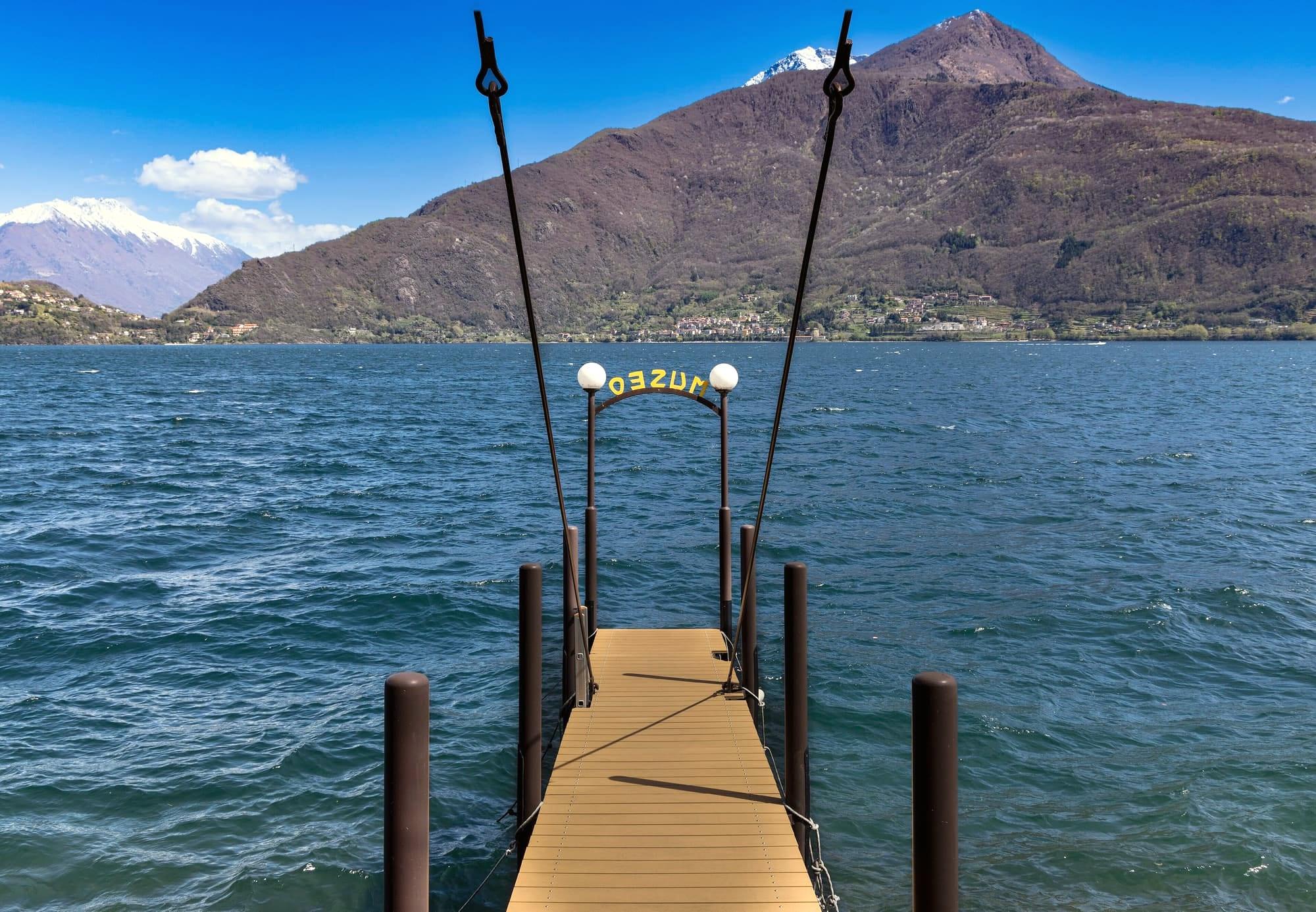
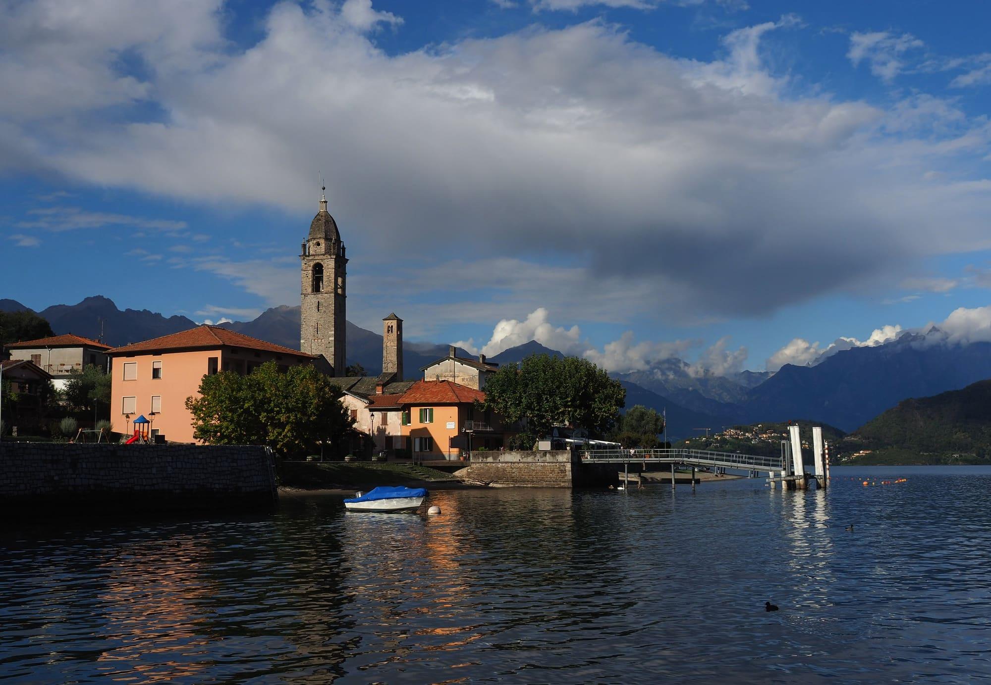
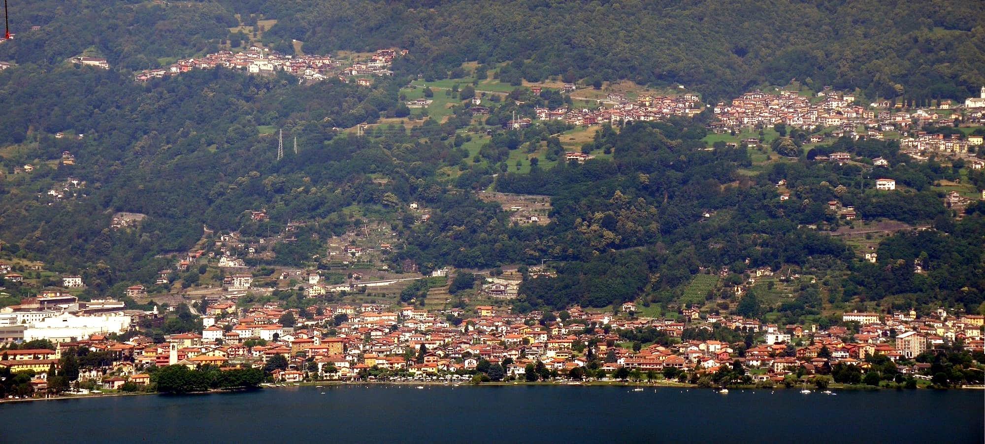
Hamlets scattered between the shore and the slopes of Monte Bregagno, once the heart of a medieval court: on the lake the Museo della Barca Lariana in a nineteenth-century silk mill, the Breva e Tivan promenade and the old crotti.
- Ideal for
- The museum's historic boats, a level walk along the shore, the hamlets on the flank of Monte Bregagno
- Time needed
- Half a day with the museum and the lakeside walk
- Best season
- Spring to autumn; summer for the lake
- What to see
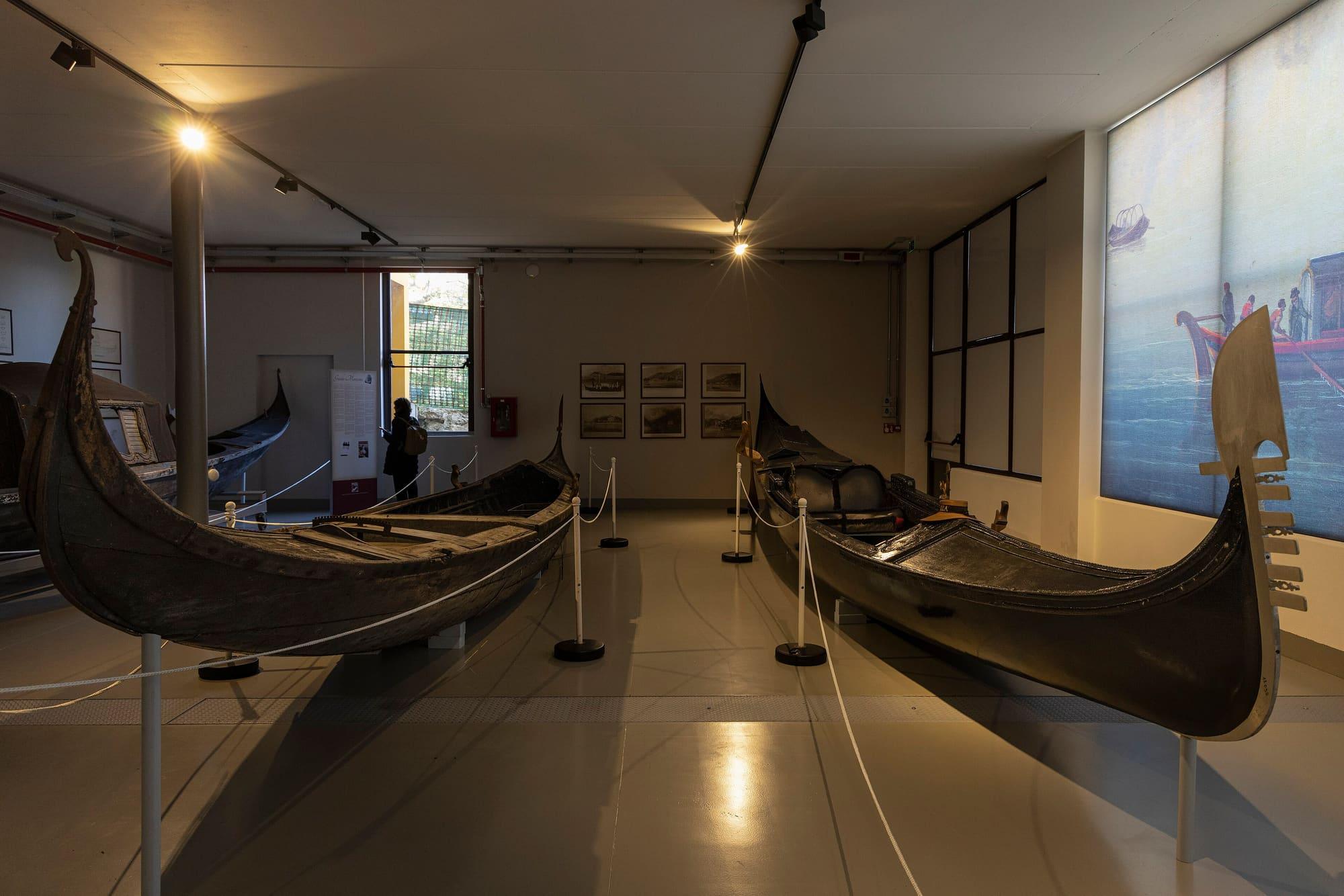
- The boats of the Museo della Barca Lariana
- Best reached by
- C110 bus from Menaggio in a quarter of an hour; a few boats on the Como–Colico line
- Maurizio_Moro5153 · CC BY-SA 4.0
- Kaitu · CC BY-SA 4.0
The place
Pianello del Lario is made up of several hamlets scattered between the slopes of Monte Bregagno and the lakeshore: some have names that go back to ancient Roman estates and keep small clusters of old houses with frescoes on their walls. At the start of the eleventh century it was a royal court of the Benedictine abbey of San Carpoforo in Como, known as the Corte di Musso because its land was joined to Musso's: the court's centre held the abbot's palace, a castle with walls and a moat, the peasants' houses and a little cemetery, where the parish church stands today. The parish was only founded in 1472, after almost a century of bitter dispute that ended in separation from Musso. From the late eighteenth century to the mid-twentieth the village lived on silk: vines and mulberries were grown and people worked in the mills along the Val Grande stream. Mulberry leaves were used to feed silkworms. Mulberry trees still appear on the village's coat of arms.
Pianello del Lario is made up of several hamlets scattered between the slopes of Monte Bregagno and the lakeshore: some have names that go back to ancient Roman estates and keep small clusters of old houses with frescoes on their walls. At the start of the eleventh century it was a royal court of the Benedictine abbey of San Carpoforo in Como, known as the Corte di Musso because its land was joined to Musso's: the court's centre held the abbot's palace, a castle with walls and a moat, the peasants' houses and a little cemetery, where the parish church stands today. The parish was only founded in 1472, after almost a century of bitter dispute that ended in separation from Musso. From the late eighteenth century to the mid-twentieth the village lived on silk: vines and mulberries were grown and people worked in the mills along the Val Grande stream. Mulberry leaves were used to feed silkworms. Mulberry trees still appear on the village's coat of arms.
Read on
The museum and the shore
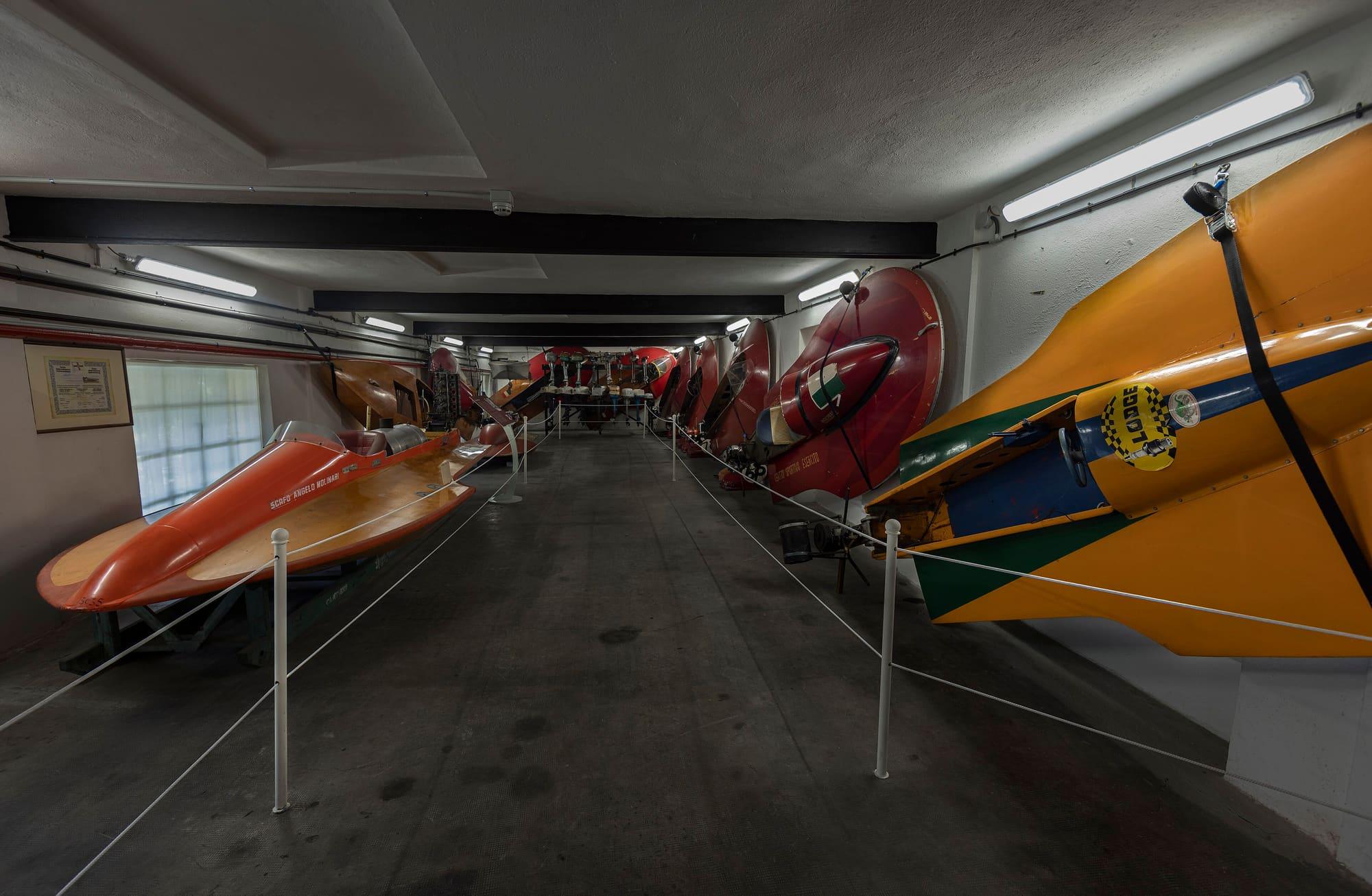
The Museo della Barca Lariana was inaugurated in 1982 in the former Erba silk mill, a nineteenth-century building on the lakeshore. It grew from the collection of GianAlberto Zanoletti, Marquis of Rozzano, who as a boy spent time with the lake's old fishermen and boatwrights and in 1977 bought the mill to house his wooden boats; today the collection fills halls, stores and open-air spaces, with almost two hundred rowing boats and gondolas, hundreds of motorboats and engines and more than three thousand photographs.
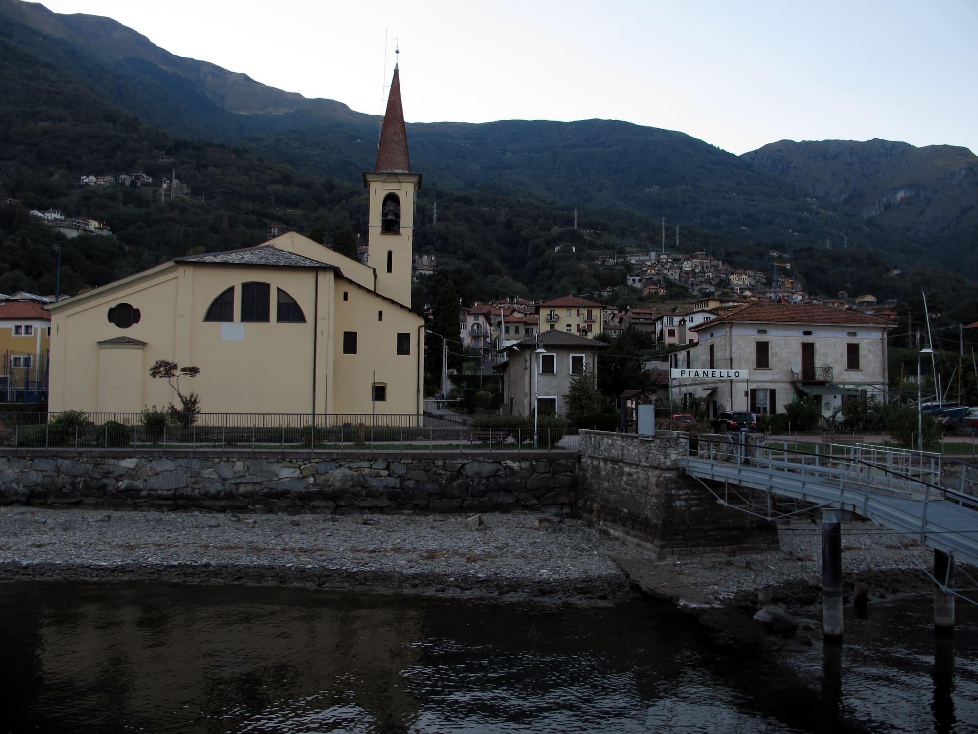
In front of the museum runs the Breva e Tivan lakeside promenade: it starts from the Crotti locality, named after the old crotti mentioned in several historical texts, and goes as far as Musso. To the south the shore continues almost level, past the pier and the church of San Martino, to the campsites and beaches and on to Cremia. A few boats on the Como–Colico line call at the pier.
The court, the church and Don Guanella
The church of San Martino, at Calozzo, a few metres from the lakefront and the pier, was the church of the medieval court; it became a parish in 1472 and was reworked several times, above all in the sixteenth century, as the date 1534 on the lintel of the portal records. Inside are a sixteenth-century triptych of the Madonna enthroned between Saint Anthony Abbot and Saint Bernard, the frescoes of Isidoro Bianchi of Campione, a marble ciborium of 1536 and the processional cross of 1489 by the Gravedona goldsmith Francesco Ser Gregori; the bronze door tells the life of the Blessed Sister Chiara Bosatta, born at Pianello.
From 1881 to 1890 Pianello's parish priest was Don Luigi Guanella, the saint who founded homes for the elderly and for abandoned children in Italy and around the world: he began his work here, first with the hospice at Camlago, then with a larger house at Calozzo, the Casa Sacro Cuore, which is still at work today. Higher up, at Coslia, the church of the Madonna della Neve was rebuilt and enlarged in the early eighteenth century, on the site of an older chapel, by people of the Tre Terre who had emigrated to the Genoa area and the Veneto; from its forecourt you see much of the upper lake.
The village's history
By tradition, in 724 the Lombard king Liutprand gave the abbey of San Carpoforo in Como the lands of Pianello along with others. In 1389 the monastery's rights came to an end, and Pianello came under the Malacrida, lords of Musso. The village won its independence from Musso, as a comune and as a parish, on 12 June 1472: the date is engraved on the bronze altar that Gianluigi Giudici made for San Martino in 1972.
In 1644 Pianello belonged to the Squadra di Rezzonico, a district of the Contado of Como. In 1751 it had 470 inhabitants; each year a general assembly elected the syndics and the chancellor, and the comune's papers were kept in the parish church, in a cupboard with three keys. From 1807 to 1816 the comune also took in Cremia and Musso; in 1863 it took the name Pianello del Lario. At the end of the nineteenth century many people left for seasonal work beyond the Alps or emigrated to the Americas.
Sant'Anna and San Bernardino
The hamlet of Sant'Anna, called Pianello Grande until the mid-nineteenth century, has at its centre the little church of the saint. It was built between 1636 and 1652 with bequests from people of Pianello who had emigrated to Genoa and Milan; the altarpiece of the Virgin, the Child and Saint Anne dates from 1661, the portico from 1726. The solemn feast is on 26 July.
Up on the mountain, at Nassina, the oratory of San Bernardino looks out over the upper lake. A chapel already stood here before 1582; the oratory had been rebuilt by 1766 and was enlarged in the second half of the twentieth century by the people of the monti. For centuries, on 20 May, the saint's feast day, people climbed up in procession from the parish church.
Sister Chiara Bosatta
Dina Bosatta was born at Pianello on 27 May 1858, the daughter of Alessandro, a small silk producer. In 1878 she and her sister Marcellina joined the Pia Unione delle Figlie di Santa Maria, founded by the parish priest Carlo Coppini for the hospice at Camlago, opened in 1873. Under Don Guanella the union became a congregation, and Dina took the name Sister Chiara. She died at Pianello on 20 April 1887 and was beatified in 1991.
From the shore beside San Martino, one evening in April 1886, two sisters and a few orphan girls set off by boat for Como, where Don Guanella's Casa della Divina Provvidenza began that year. At Calozzo the house where the Bosatta sisters grew up, built into the Casa Sacro Cuore, keeps belongings of the two sisters and of Don Guanella. The neo-Gothic church of the Sacro Cuore, which Don Guanella wanted for the house, was inaugurated in 1909. Pianello is a stage on the “Sui passi di don Luigi Guanella” pilgrim route.
Events
See allThings to see

Experiences
Upper Lake
From Dongo to Rezzonico
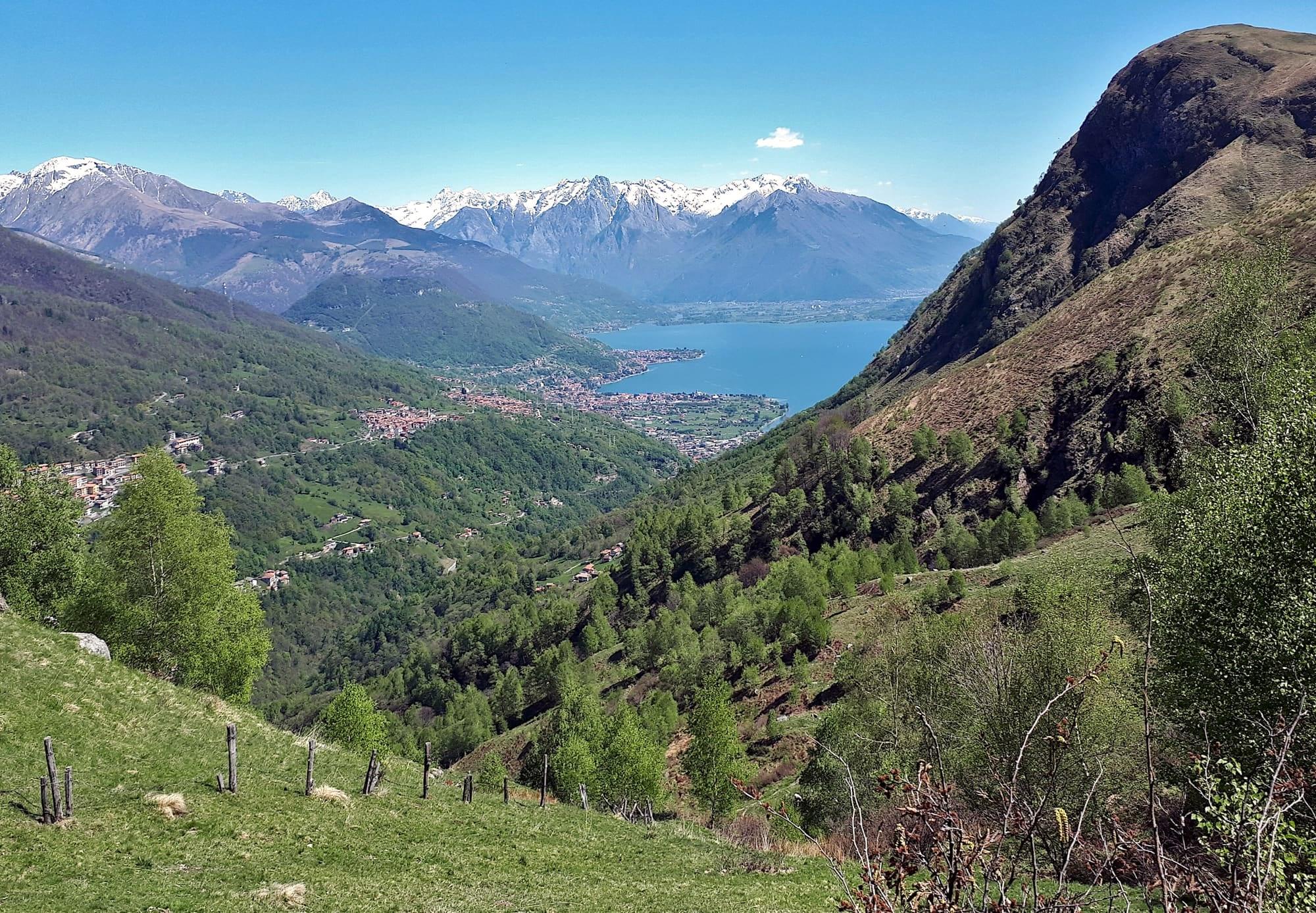
Ten kilometres along the flank of Monte Bregagno, on the Sentiero del Giubileo: from Sant'Eufemia on the Sasso di Musso, through the hamlets of Musso, Pianello and Cremia, to the village of Rezzonico and its castle.
3 h 30 – 4 h 30Open access
Centro Lago
Along the lake from Musso to Cremia
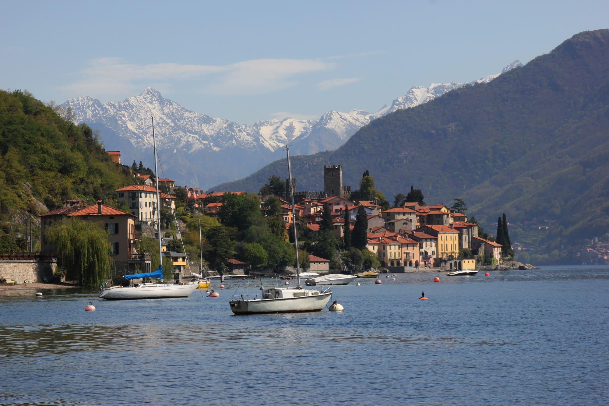
Three almost level kilometres on the western shore, pushchairs included: Musso's little harbour, Pianello's port and the Museo della Barca Lariana, the beaches, the Legnone opposite and the church of San Vito on the water at Cremia.
50 min – 1 h 40Open access
Events
Before you go
How long it takes
- from Milan2 h 20Train, then boat
- from Como1 h 15Bus · by car 1 h 05
- from Lecco56 minTrain, then boat · by car 1 h 30
Typical door-to-door times by public transport, changes included. From Milan, counted from Centrale station.
- Population
- 1,074
- Elevation
- 200 m
Updated 22 October 2026
The mountains around the village hide the sun before astronomical sunset: sunrise and sunset are worked out on the village's own horizon.
Today, 1 November, estimated sunlight at the reference point: first at 08:06 and last at 15:03, giving 6 h 58 of direct sun, out of 10 h 06 of daylight.
Today the sun leaves between 14:16 and 15:18, depending on the street.
JuneDecembertoday
Watch the shadow reach Pianello del Lario today
See from Pianello del Lario where the sun goes, in 3D
The sun at an exact spot in Pianello del Lario: your hotel, a beach, a street
How do I get to Pianello del Lario?
By bus on ASF Autolinee's C110, the western-shore line Como–Menaggio–Colico, which stops in the village at Crotto, Via Roma and the hamlet of Bellera, a quarter of an hour from Menaggio. A few runs of the Como–Colico line boats call at the Pianello pier, not many. By car, take the Statale 340 Regina.
Can you swim at Pianello del Lario?
The village has three beaches, the Pianello del Lario beach, the Val Grande beach and La Felice beach, and on the campsites' shore there is an official bathing point, Zona Campeggi - Riva: like every place people swim it is sampled by law, and the class of its water is assigned at the end of each season from the official sampling.
The highest summit in view from here is Pizzo Cengalo, 3369 m, 33 kilometres away.
- Monte la Motta, 1516 m, 10 km
- Croce di Ledù, 2047 m, 14 km
- Pizzo Ledù, 2505 m, 15 km
- Sasso Canale, 2411 m, 15 km
- Monte Berlinghera, 1930 m, 15 km
- Monte Gruf, 2938 m, 28 km
- Pizzo Cengalo, 3369 m, 33 km
- Cima Centrale del Calvo, 2967 m, 26 km
- Cima del Desénigo, 2845 m, 25 km
- Croce di Ledino, 2093 m, 24 km
- Monte Legnone, 2609 m, 11 km
- Monte Legnoncino, 1711 m, 6 km
- Il Foppone, 1373 m, 8 km
- Monte Croce di Muggio, 1799 m, 8 km
- Il Matoch, 1380 m, 8 km
- Grigna Settentrionale, 2410 m, 18 km
- Monte Croce, 1780 m, 15 km
- Monte Bregagnino, 1905 m, 4 km
- Sasso di Musso, 1140 m, 3 km
- Monte Crocetta, 952 m, 3 km
- Sasso Camoscé, 2207 m, 12 km
The ochre line follows today's sun path and marks the estimated times of its first and last appearance above the mountains. Drag the panorama to see all of it.
How it is drawn
Paler ridges are farther away; heights are stretched two and a half times. Houses are not drawn, nor are trees within half a kilometre. Terrain © Regione Lombardia (CC BY 4.0); summits © OpenStreetMap contributors.
Official bathing sites nearby, with their water quality classifications.
- Zona Campeggi - Riva0.4 kmGood · in July, sun estimated until 18:33 at the marked point3D — see from the beach at Zona Campeggi - Riva where the sun goes
What is in the Museo della Barca Lariana?
The lake's wooden boats and their story: sailing boats, motorboats, gondolas, comballi, navette and working boats, gathered over decades by the Marquis GianAlberto Zanoletti, together with engines, books, magazines and photographs. The museum, opened in 1982 in an old silk mill, fills halls, stores and open-air spaces.
On the map
What is around, and how far.
© OpenStreetMap contributors · ODbL
Nearby
Typical door-to-door times.
Musso
A village on the western shore of the upper lake, below the Sasso di Musso, the marble quarry whose stone faces Como cathedral.
3 min
Cremia
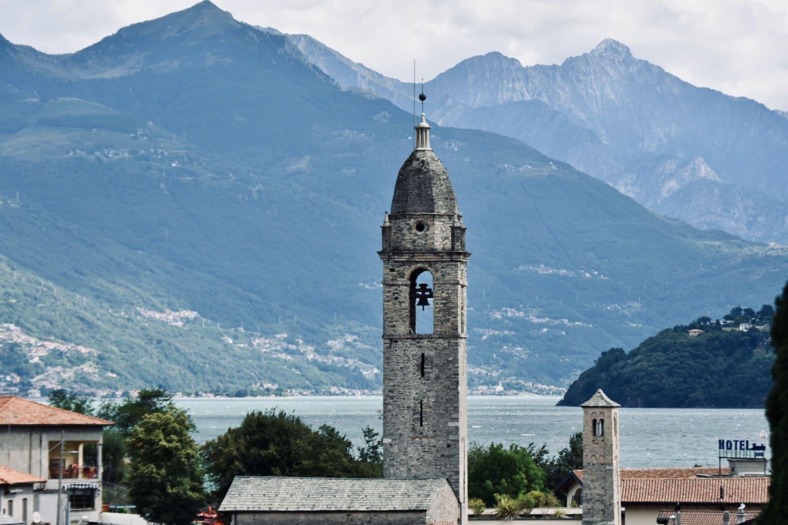
Sixteen hamlets from the lake up the mountainside, on the western shore of the upper lake: on the shore San Vito, with a slightly leaning little Romanesque tower beside the tall domed one, on the Vignola plateau the parish church and the town hall, and higher up the stone huts.
4 min
Dongo
A wide lakefront, the old ironworks and the Museum of the End of the War.
8 min
Sources and credits
- Maps, parking, services and distances: © OpenStreetMap contributors (ODbL).
- Freely licensed photographs: authors and licences under Photograph credits.
Sources and credits
- Maps, parking, services and distances: © OpenStreetMap contributors (ODbL).
- Freely licensed photographs: authors and licences under Photograph credits.