31Jul 2027
Centro Lago
Three villages on the shore and some twenty hamlets up the mountain: Rezzonico, an old fishing village below its castle, Santa Maria with the Dominican church and the walls of a late Roman fortress, Acquaseria on the old Via Regina.
San Siro is a comune on the western shore.
It was born on 1 January 2003 from the merger of Sant'Abbondio and Santa Maria Rezzonico, sought by both councils and confirmed by a referendum, but the name was in use at least from the fourteenth century, when the community of San Siro Monte Rezzonico was the seat of the Della Torre di Rezzonico, the family that three centuries later gave the Church Pope Clement XIII. Its territory lies on the southern slopes of Monte Bregagno, between Cremia and Menaggio, 38 kilometres from Como: 18.5 square kilometres rising from the lake to almost two thousand metres, with some twenty hamlets linked by mule tracks and cobbled paths, among fountains, chapels, little bridges and arches. In the woods between Roncate, Soriano and Vezzedo in Cremia, carvings have been found on rocks and outcropping boulders, still being studied.
San Siro is a comune on the western shore.
It was born on 1 January 2003 from the merger of Sant'Abbondio and Santa Maria Rezzonico, sought by both councils and confirmed by a referendum, but the name was in use at least from the fourteenth century, when the community of San Siro Monte Rezzonico was the seat of the Della Torre di Rezzonico, the family that three centuries later gave the Church Pope Clement XIII. Its territory lies on the southern slopes of Monte Bregagno, between Cremia and Menaggio, 38 kilometres from Como: 18.5 square kilometres rising from the lake to almost two thousand metres, with some twenty hamlets linked by mule tracks and cobbled paths, among fountains, chapels, little bridges and arches. In the woods between Roncate, Soriano and Vezzedo in Cremia, carvings have been found on rocks and outcropping boulders, still being studied.
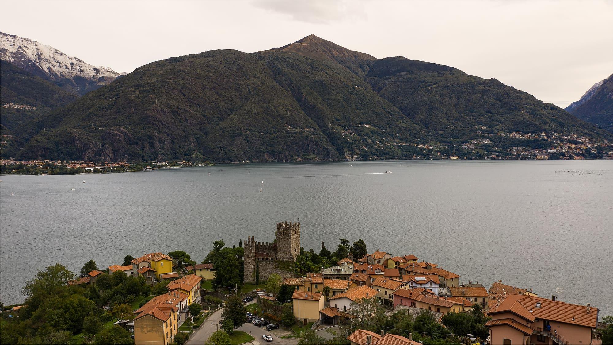
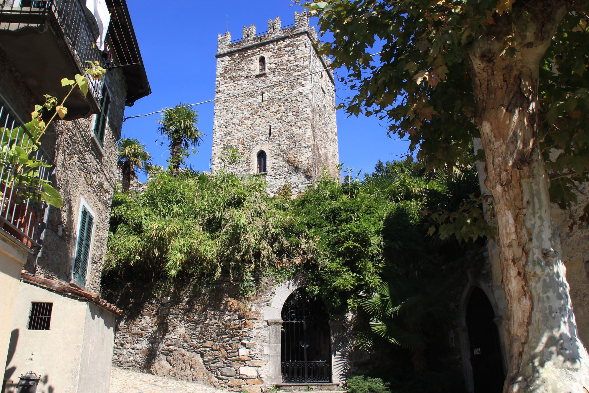
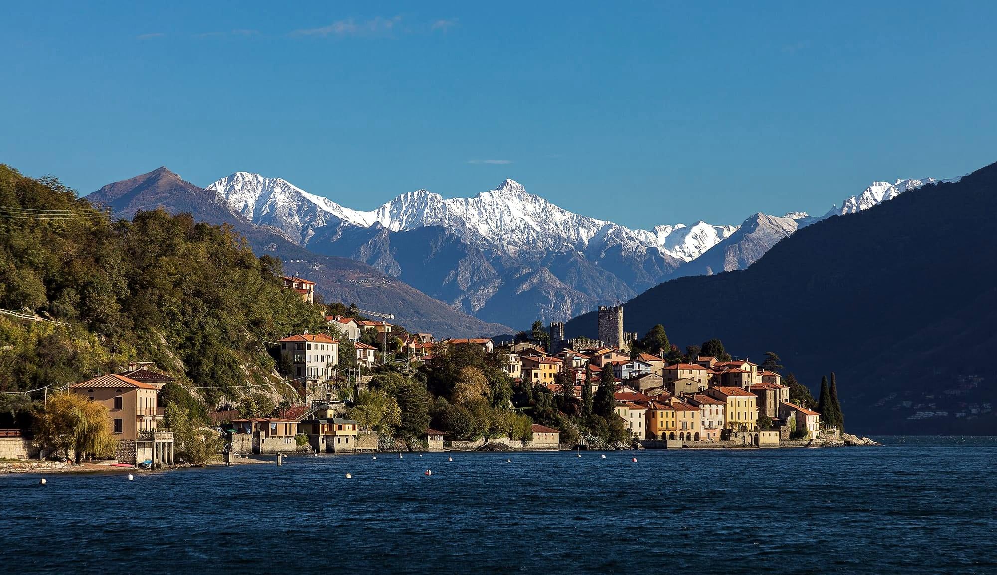
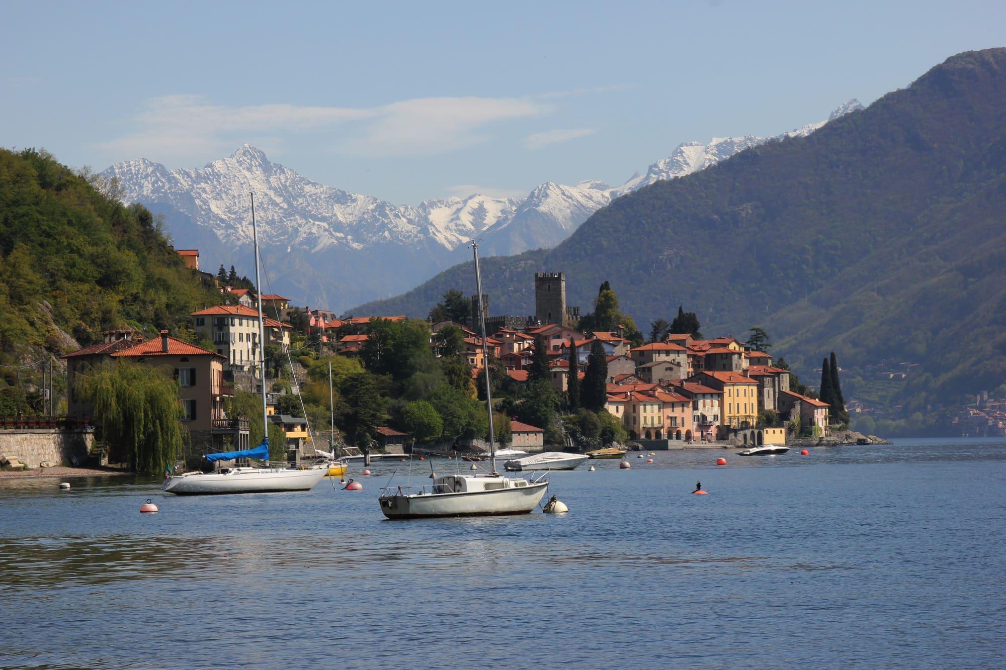
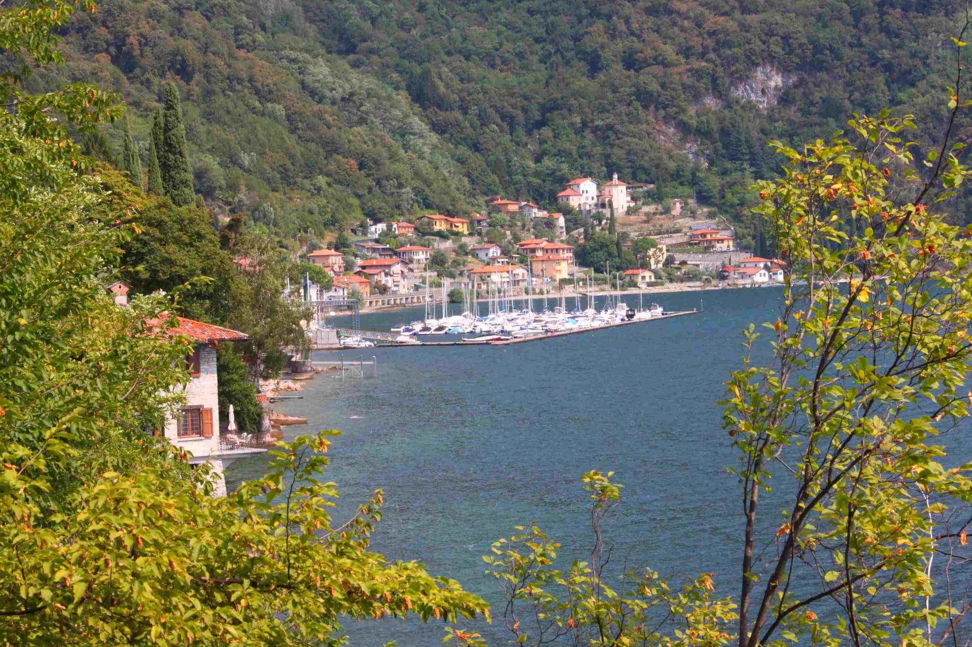
Rezzonico, “Rescionegh” in dialect, is an old fishing village gathered on the slopes of a promontory, below its castle, with sunny rocks, small natural beaches and old porticoes on the water. Three defensive gates and two tower houses survive, probably of the twelfth and thirteenth centuries, and on the lake stand two seventeenth-century palazzi with the Della Torre arms over the door. The castle, of the fourteenth century, is private property. There are several theories about the name: the Raeti who ruled the upper lake, an Etruscan leader called Rhaeto, or the “risciulada”, the local cobbled paving.
South of the village, on the rise above the road tunnel, stand the square tower and walls of the Castellaccio, which perhaps connected with the fortress at Santa Maria and with Rezzonico's walls; legend ties it to a Spanish petty lord known as il Ficano, and Antonio de Ficanis was murdered there in 1612. Towards Cremia an easy road, on an ancient Roman line, runs between fields and chestnut woods.
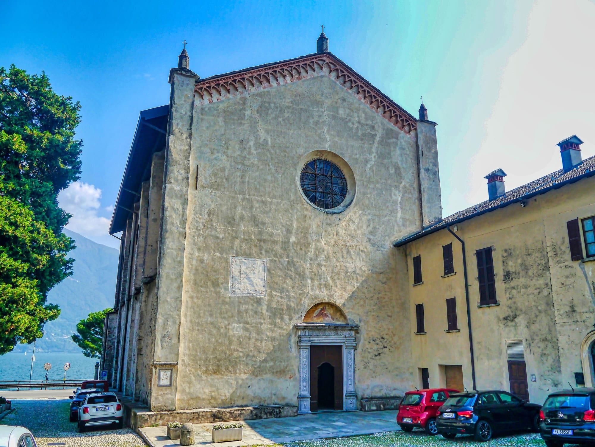
At Santa Maria, on the shore, the church of Santa Maria Assunta was built between 1464 and 1474 for the Dominicans. Beside it rises a large quadrangle of walls, up to six metres high and very thick, unmatched in size anywhere in the province of Como: it may be what remains of a late Roman fortress that watched the traffic on the Regina road and the lake, and excavations have found many rooms and passages inside it. It is now an archaeological site.
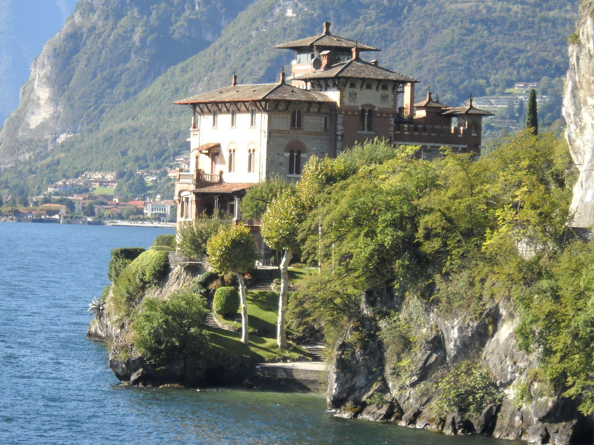
Further south, at Acquaseria, where the town hall is, the little church of Sant'Abbondio stands at the edge of the old village, on the line of the ancient Via Regina: very probably it offered travellers shelter and a place to give thanks for coming safely past the dangerous path of the Sasso Rancio. Restored and enriched in the seventeenth century, in 1712 it was granted a privilege of indulgences that drew pilgrims from as far as Torno, Garzeno and Musso. On the Gaeta point, at Acquaseria, stands Villa La Gaeta, the Coppedè brothers' eclectic castle, finished in 1921.
Como's statutes of 1335 list three comuni, San Siro, Sant'Abbondio and the borgo of Rezzonico, all in the pieve of Menaggio, and each had to maintain a stretch of the Via Regina. In 1644 the three comuni, with Plesio, Nobiallo, Pianello and Breglia, formed the Squadra di Rezzonico, a district of the Contado of Como. In 1751 San Siro had 390 inhabitants and no feudal lord, and it elected two syndics, one for the upper and one for the lower part of the comune.
In 1640 a branch of the Rezzonico family moved to Venice, and in 1687 it joined the Venetian patriciate. From this branch came Carlo Rezzonico, born in Venice in 1693 and elected pope in 1758 as Clement XIII. From 1807 to 1816 the three comuni were united under San Siro. On 21 June 1928 they were joined in the new comune of Santa Maria Rezzonico, from which Sant'Abbondio broke away on 31 January 1957.
At Acquaseria the church of Santi Abbondio e Felice was built between 1930 and 1937 and took over from the little church of Sant'Abbondio as the parish church. At Mastena the Della Torre family's church of San Giovanni Battista was built from 1676 and is privately owned. At Roncate the church of Santi Rocco e Sebastiano, recorded at the end of the sixteenth century, was enlarged in 1717.
Up the mountain, at Carcente, another church of Santi Rocco e Sebastiano was probably built after the plague of 1425 and enlarged in the seventeenth century. Santa Croce at Treccione and Santa Lucia at Gallio already stood by the end of the sixteenth century; the Immacolata Concezione at Lucena had just been restored in 1756 and was renewed in 1876. At Santa Maria the former oratory of the Confratelli was probably built in the second half of the eighteenth century by the confraternity of the Holy Rosary.
The old Via Regina crosses the whole comune and is protected as an archaeological site. From Nobiallo, in Menaggio, the mule track climbs over the Sasso Rancio, the crag above the lake, and drops through the woods to Acquaseria. It then continues, cobbled in places, through Molvedo and Mastena, passes above Santa Maria between vegetable gardens and stone walls, and reaches Rezzonico beside the remains of the Castellaccio.
On the shore, a short footpath leads to the beach known as San Siro: when the lake is very low, the foundations of the seventeenth-century chapel of San Siro appear there. Higher up runs the Via dei Monti Lariani, part of the Sentiero Italia. Beyond the Monti di Gallio a dirt road climbs to the pastures of the Alpe Rescanscia, at 1413 metres, on the flank of the Bregagno.
Upper Lake
Ten kilometres along the flank of Monte Bregagno, on the Sentiero del Giubileo: from Sant'Eufemia on the Sasso di Musso, through the hamlets of Musso, Pianello and Cremia, to the village of Rezzonico and its castle.
3 h 30 – 4 h 30Open access
Centro Lago
Ten easy kilometres on a well-kept stretch of the old Strada Regina: from Rezzonico's castle to Acquaseria, along the flanks of the Sasso Rancio to the Madonna della Pace, Nobiallo and the Menaggio lakefront.
2 h 30 – 3 h 30Open access
How long it takes
Typical door-to-door times by public transport, changes included. From Milan, counted from Centrale station.
The mountains around the village hide the sun before astronomical sunset: sunrise and sunset are worked out on the village's own horizon.
Today, 2 November, estimated sunlight at the reference point: first at 08:00 and last at 15:29, giving 7 h 30 of direct sun, out of 10 h 03 of daylight.
Today the sun leaves between 15:23 and 15:39, depending on the street.
Watch the shadow reach San Siro today
See from San Siro where the sun goes, in 3D
The sun at an exact spot in San Siro: your hotel, a beach, a street
Places near the shore with outdoor seating, with today's estimated first and last sun at the marked point. Those with the latest sun come first. Clouds and shade from buildings, trees or awnings can change the light on the tables; check opening hours with the venue.
By bus on ASF Autolinee's C110, the western-shore line Como–Menaggio–Colico, which stops along the main road at Acquaseria, Molvedo, Rezzonico and other hamlets, five to ten minutes after Menaggio. The Como–Colico line boats do not call at San Siro: the nearest piers are Menaggio and, further north, Pianello del Lario. By car, take the Statale 340 Regina; from Santa Maria a road climbs to the mountain hamlets, as far as Carcente and Camnasco.
At Rezzonico the shore has sunny rocks and small natural beaches, and along the comune's shore there are three official bathing points, Spiaggia S. Abbondio, Beach Volley and Spiaggia Foppa: like every place people swim they are sampled by law, and the class of their water is assigned at the end of each season from the official sampling.
The highest summit in view from here is Pizzo Cengalo, 3369 m, 36 kilometres away.
The ochre line follows today's sun path and marks the estimated times of its first and last appearance above the mountains. Drag the panorama to see all of it.
Official bathing sites nearby, with their water quality classifications.
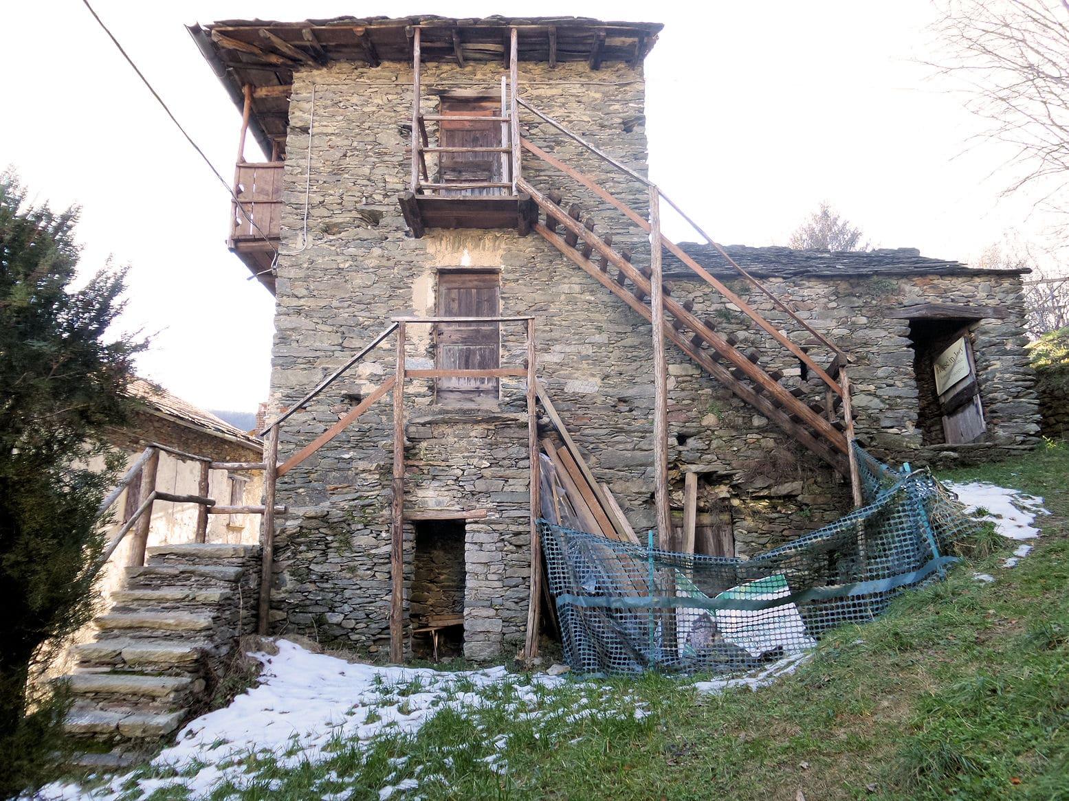
A road climbs from Santa Maria to the mountain hamlets, south as far as Carcente and north to Camnasco and the summer pastures, for about seven kilometres. Along the way you see the mountains of the Valtellina to the north, on the far shore the Valvarrone with Monte Legnone and the Legnoncino, the Valsassina and the Orobic Prealps to the east, Bellagio in the middle, the Lecco branch with the Grigna and the Corni di Canzo to the south. At Carcente, in a stone house with its cowshed, its cellar and the ca' del föc where chestnuts were dried, is the ethnographic museum Casa rurale di Carcente, run by the Amici di Carcente association; in the hamlet of Soriano an archaeological park gathers the rock carvings.
What is around, and how far.
© OpenStreetMap contributors · ODbL
Typical door-to-door times.
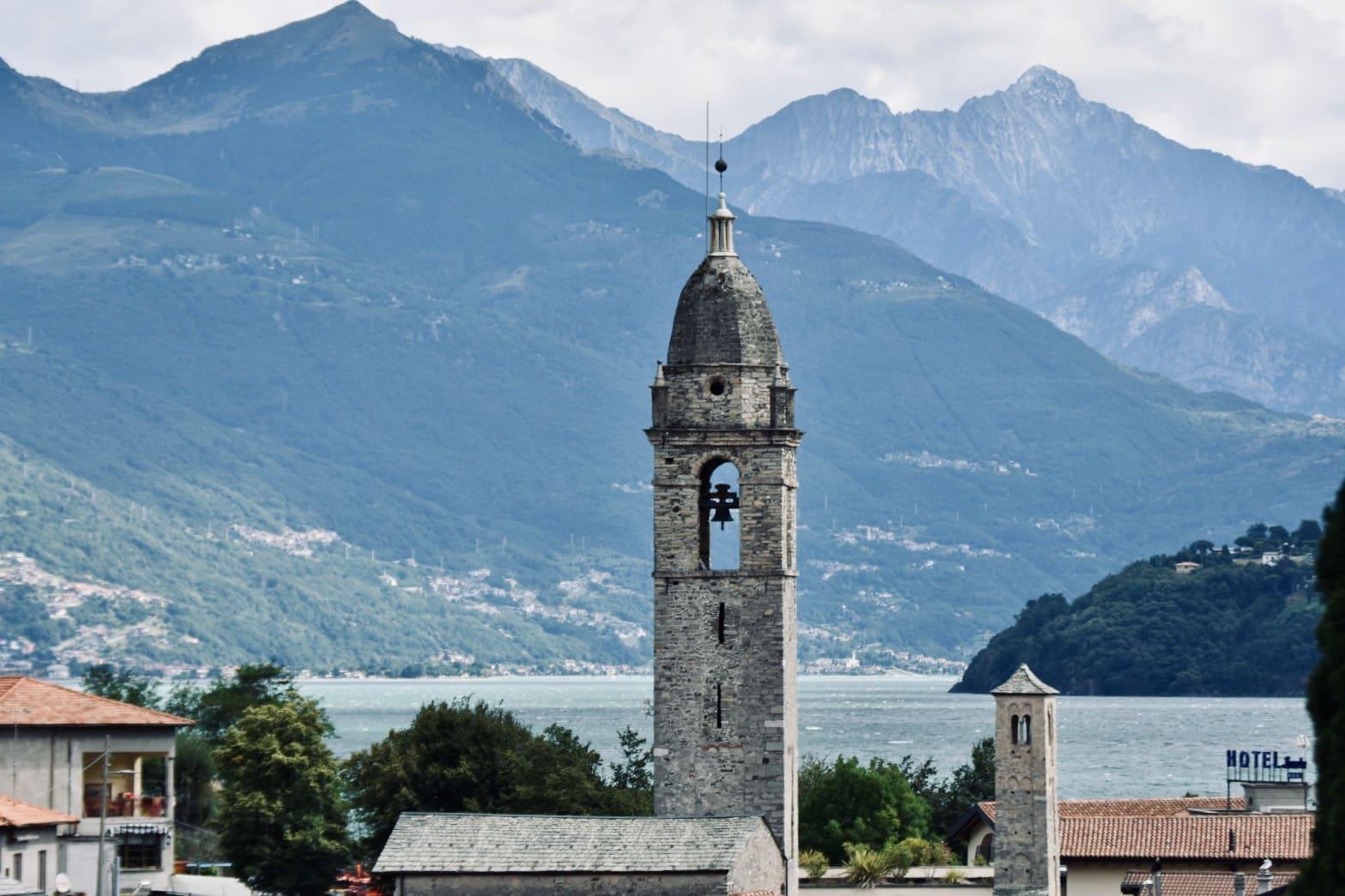
Sixteen hamlets from the lake up the mountainside, on the western shore of the upper lake: on the shore San Vito, with a slightly leaning little Romanesque tower beside the tall domed one, on the Vignola plateau the parish church and the town hall, and higher up the stone huts.
4 min
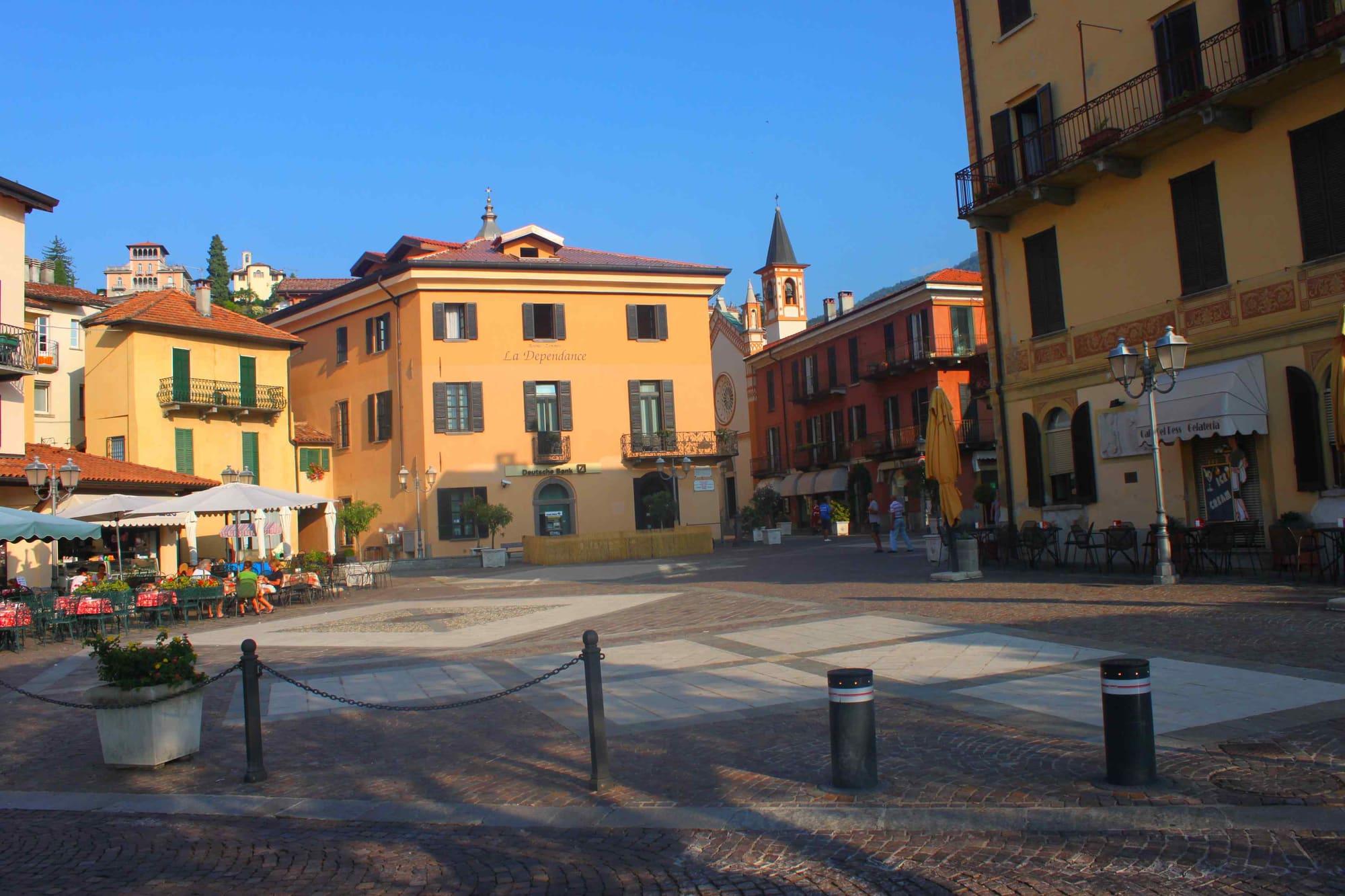
In the middle of the lake, between the ferry, the Regina road and the bus to Lugano.
7 min
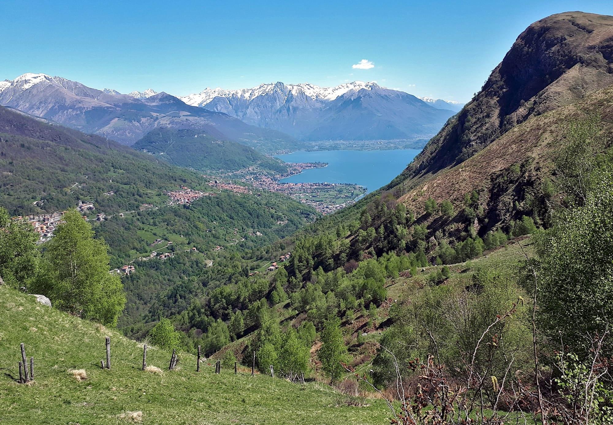
A village on the western shore of the upper lake, below the Sasso di Musso, the marble quarry whose stone faces Como cathedral.
9 min