Skip to content

Tremezzina

Sacro Monte of Ossuccio

Fourteen chapels built between 1635 and 1710 climbing through the olive groves to the sanctuary of the Madonna del Soccorso above Ossuccio, a UNESCO World Heritage site.

Visit duration
1 h – 2 h
Booking
Not required
Area
Centro Lago
Status
UNESCO World Heritage
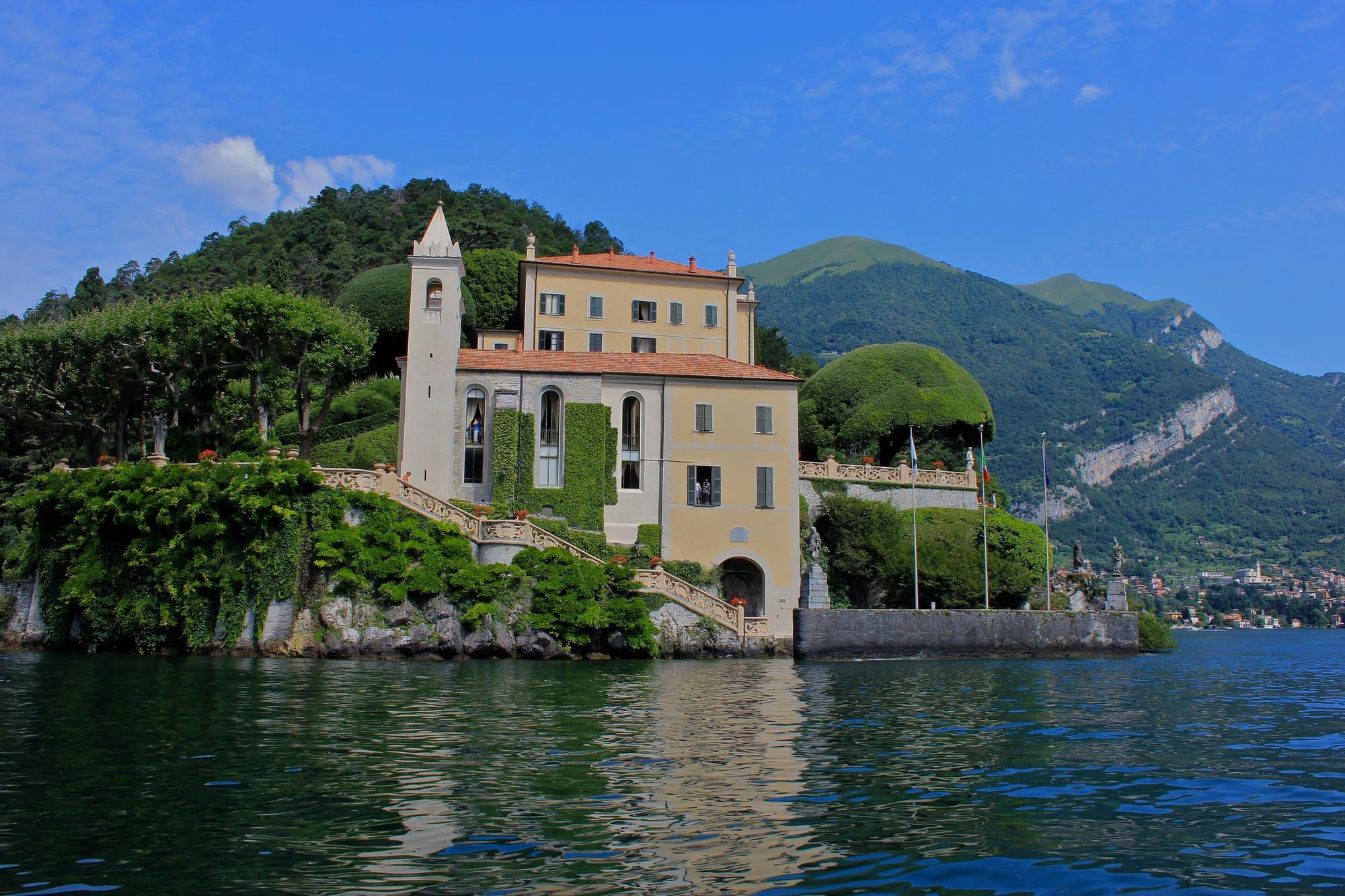
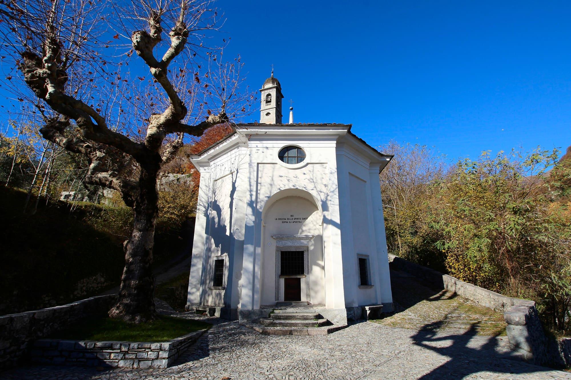
One of the Sacro Monte's chapels, its porch and the tree before it.LigaDue · CC BY-SA 4.0
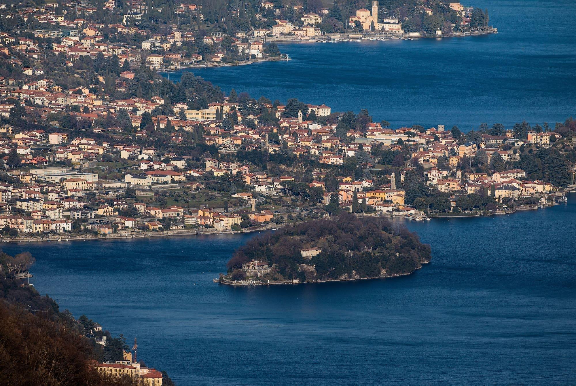
  • Robertacolombini · CC BY-SA 4.0
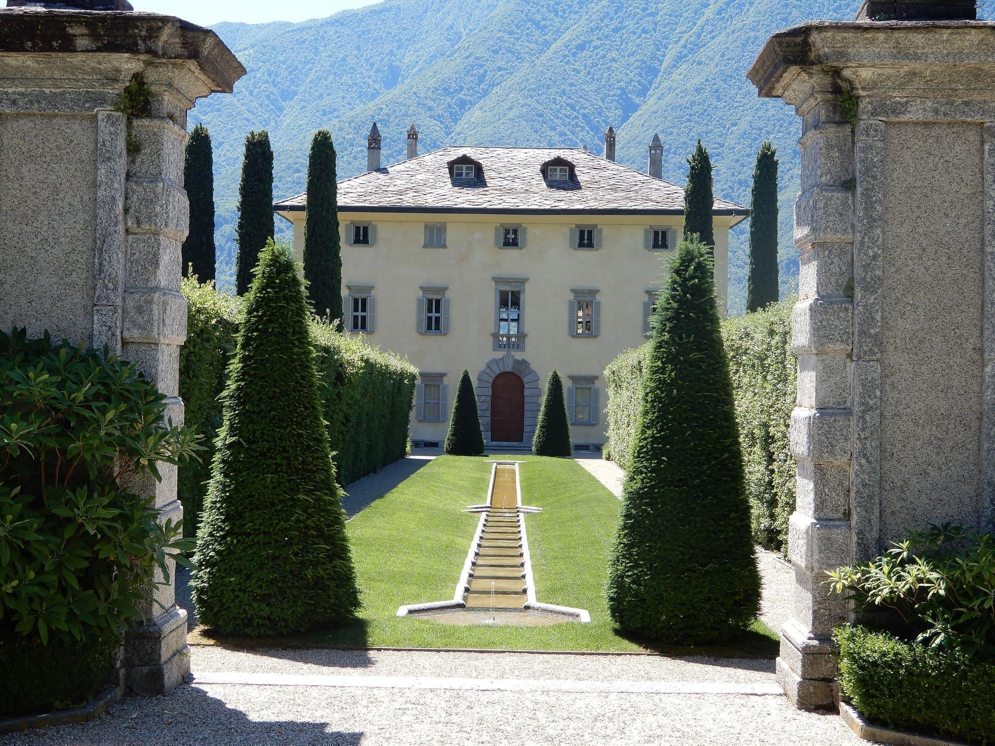
  • Maurizio Moro5153 · CC BY-SA 4.0

1 / 3

One of the Sacro Monte's chapels, its porch and the tree before it.

LigaDue · CC BY-SA 4.0

Why go

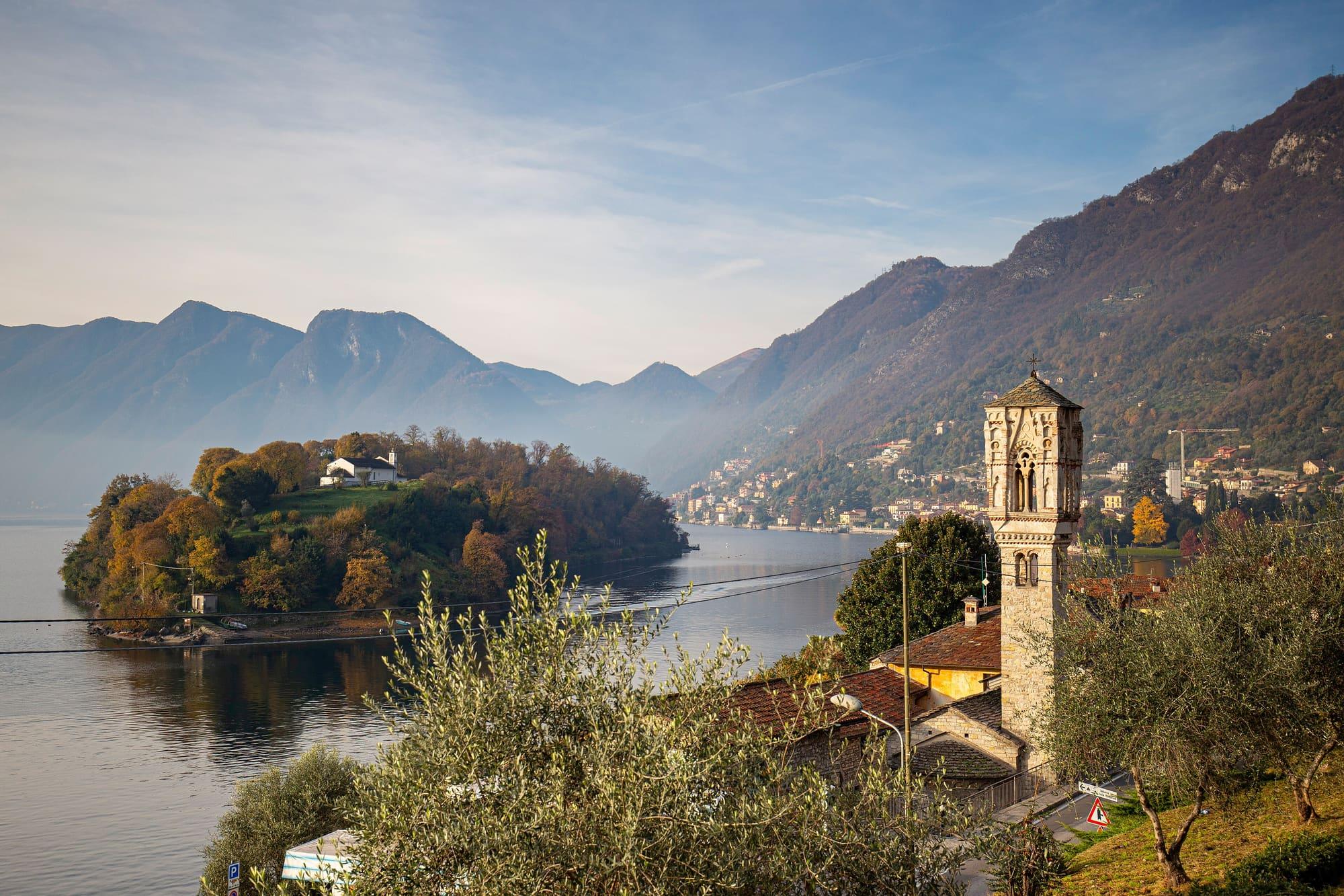
The Sacro Monte of Ossuccio is a devotional route climbing through olive groves to the sanctuary of the Beata Vergine del Soccorso, opposite Isola Comacina.

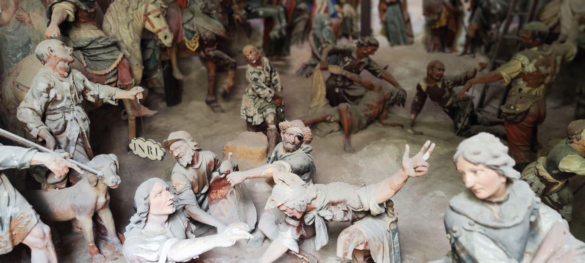
Fourteen chapels illustrate the Mysteries of the Rosary; the fifteenth is represented in the sanctuary. The complex was completed in 1710. The chapels hold stucco and terracotta figures, largely by Agostino Silva, and frescoes by Recchi, Gaffuri and Torriani. The sanctuary preserves a fourteenth-century marble Virgin. Since 2003 the site has held UNESCO World Heritage status with eight other Sacri Monti.
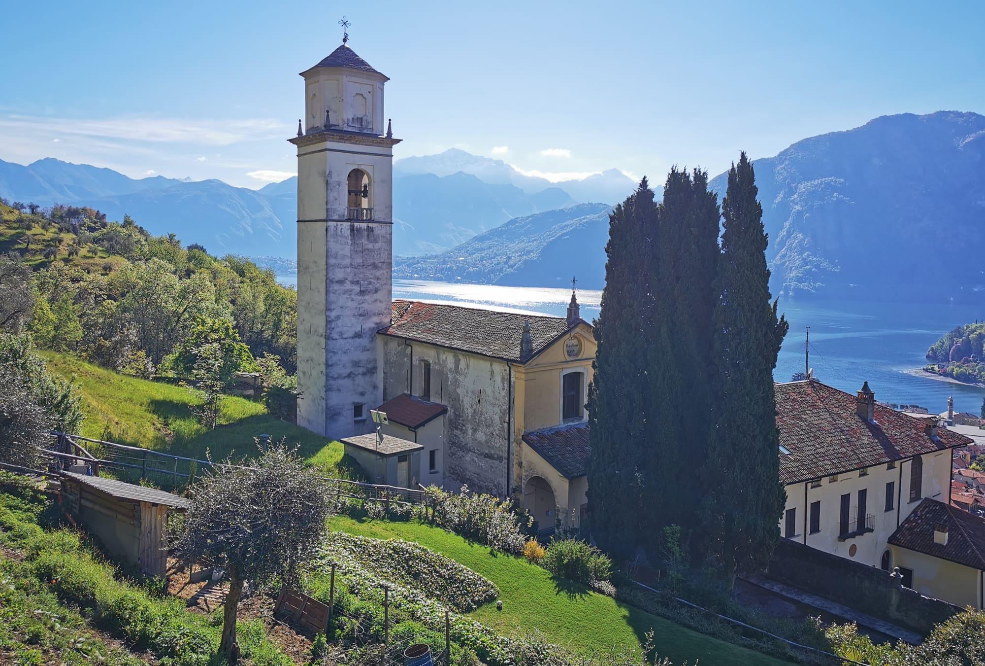
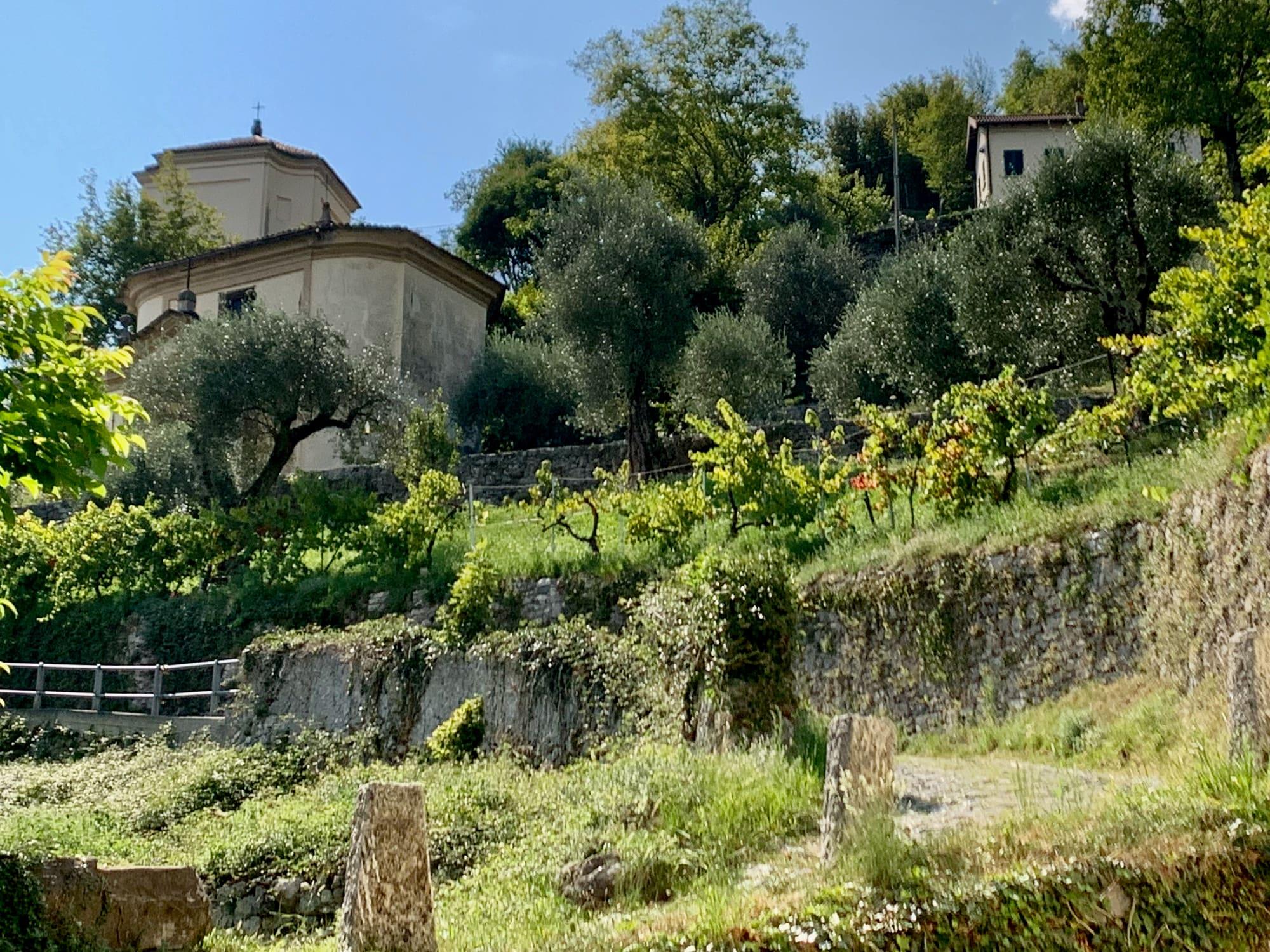
  • The cobbled way links the chapels to the sanctuary among terraced olive groves.
  • From the top you look down on Isola Comacina.

Getting there

  • On foot from Ossuccio, about a 30-minute cobbled climb.
  • C110 bus, Ossuccio stop.
The life-size painted statues inside one of the chapels: a crowd of figures, a horse, a dog and the scroll inscribed INRI.Ivanodom · CC BY-SA 4.0

Accessibility

  • The Via Sacra, about a kilometre on foot, has demanding climbs of 16 to 34 per cent on cobbles and paving that are uneven in places.
  • Elderly visitors and people with a motor disability can drive up to the sanctuary by asking, at least 48 hours ahead, for the barrier on the chapels' avenue to be opened; at the sanctuary a ramp leads to the side entrance, the nave is free of obstacles and there is an adapted toilet next door, by the restaurant.

The mountains from here

The highest summit in view from here is Monte Legnone, 2609 m, 23 kilometres away.

Open the panorama with the summits by name
Monte di Lenno, 1588 m, 3.7 kmMonte di Lenno1588Monte Galbiga, 1691 m, 4.3 kmMonte Galbiga1691Monte Legnone, 2609 m, 22.7 kmMonte Legnone2609 · 23 kmPizzo Alto, 2512 m, 24.5 kmPizzo Alto2512 · 25 kmMonte Colombana, 2387 m, 27.5 kmMonte Colombana2387 · 28 kmPizzo Cornagera, 2049 m, 22.3 kmPizzo Cornagera2049 · 22 kmPizzo dei Tre Signori, 2554 m, 27.4 kmPizzo dei Tre Signori2554 · 27 kmSasso di Petua, 1404 m, 12.6 kmSasso di Petua1404Cima del Palone, 2089 m, 16.6 kmCima del Palone2089Grigna Settentrionale, 2410 m, 16.4 kmGrigna Settentrionale2410Zucco Sileggio, 1373 m, 12.8 kmZucco Sileggio1373Grigna Meridionale, 2177 m, 17.5 kmGrigna Meridionale2177Monte Nuvolone, 1092 m, 5.1 kmMonte Nuvolone1092Ceppo del Mucchio, 1081 m, 5.3 kmCeppo del Mucchio1081Monte Ponciv, 1452 m, 8.2 kmMonte Ponciv1452Cima del Costone, 1611 m, 7.7 kmCima del Costone1611Monte San Primo, 1682 m, 7 kmMonte San Primo1682Costa San Primo - Cima di Mezzo, 1541 m, 5.9 kmCosta San Primo - Cima di Mezzo1541Costa San Primo - Cima Nord, 1492 m, 5.5 kmCosta San Primo - Cima Nord1492Monte Colmenacco, 1281 m, 5.3 kmMonte Colmenacco1281Monte Colmegnone, 1378 m, 10.2 kmMonte Colmegnone1378Monte San Bernardo settentrionale, 1351 m, 10.3 kmMonte San Bernardo settentrionale1351Monte Comana, 1210 m, 7.8 kmMonte Comana1210WNWNNEESESSW
  • Monte Legnone, 2609 m, 23 km
  • Pizzo Alto, 2512 m, 25 km
  • Monte Colombana, 2387 m, 28 km
  • Pizzo Cornagera, 2049 m, 22 km
  • Pizzo dei Tre Signori, 2554 m, 27 km
  • Sasso di Petua, 1404 m, 13 km
  • Cima del Palone, 2089 m, 17 km
  • Grigna Settentrionale, 2410 m, 16 km
  • Zucco Sileggio, 1373 m, 13 km
  • Grigna Meridionale, 2177 m, 18 km
  • Monte Nuvolone, 1092 m, 5 km
  • Ceppo del Mucchio, 1081 m, 5 km
  • Monte Ponciv, 1452 m, 8 km
  • Cima del Costone, 1611 m, 8 km
  • Monte San Primo, 1682 m, 7 km
  • Costa San Primo - Cima di Mezzo, 1541 m, 6 km
  • Costa San Primo - Cima Nord, 1492 m, 6 km
  • Monte Colmenacco, 1281 m, 5 km
  • Monte Colmegnone, 1378 m, 10 km
  • Monte San Bernardo settentrionale, 1351 m, 10 km
  • Monte Comana, 1210 m, 8 km
  • Monte di Lenno, 1588 m, 4 km
  • Monte Galbiga, 1691 m, 4 km

The ochre line follows today's sun path and marks the estimated times of its first and last appearance above the mountains. Drag the panorama to see all of it.

How it is drawn
Paler ridges are farther away; heights are stretched two and a half times. Houses are not drawn, nor are trees within half a kilometre. Terrain © Regione Lombardia (CC BY 4.0); summits © OpenStreetMap contributors.

On the map

Explore the lake
TremezzinaSacro Monte of Ossuccio

© OpenStreetMap contributors · ODbL

What's on nearby

Events within a few kilometres, on now or coming up.

See all

Nearby: places, experiences, services

Distances as the crow flies.

Sources and credits

Sources and credits