Skip to content

Varenna

The Lovers' Walk

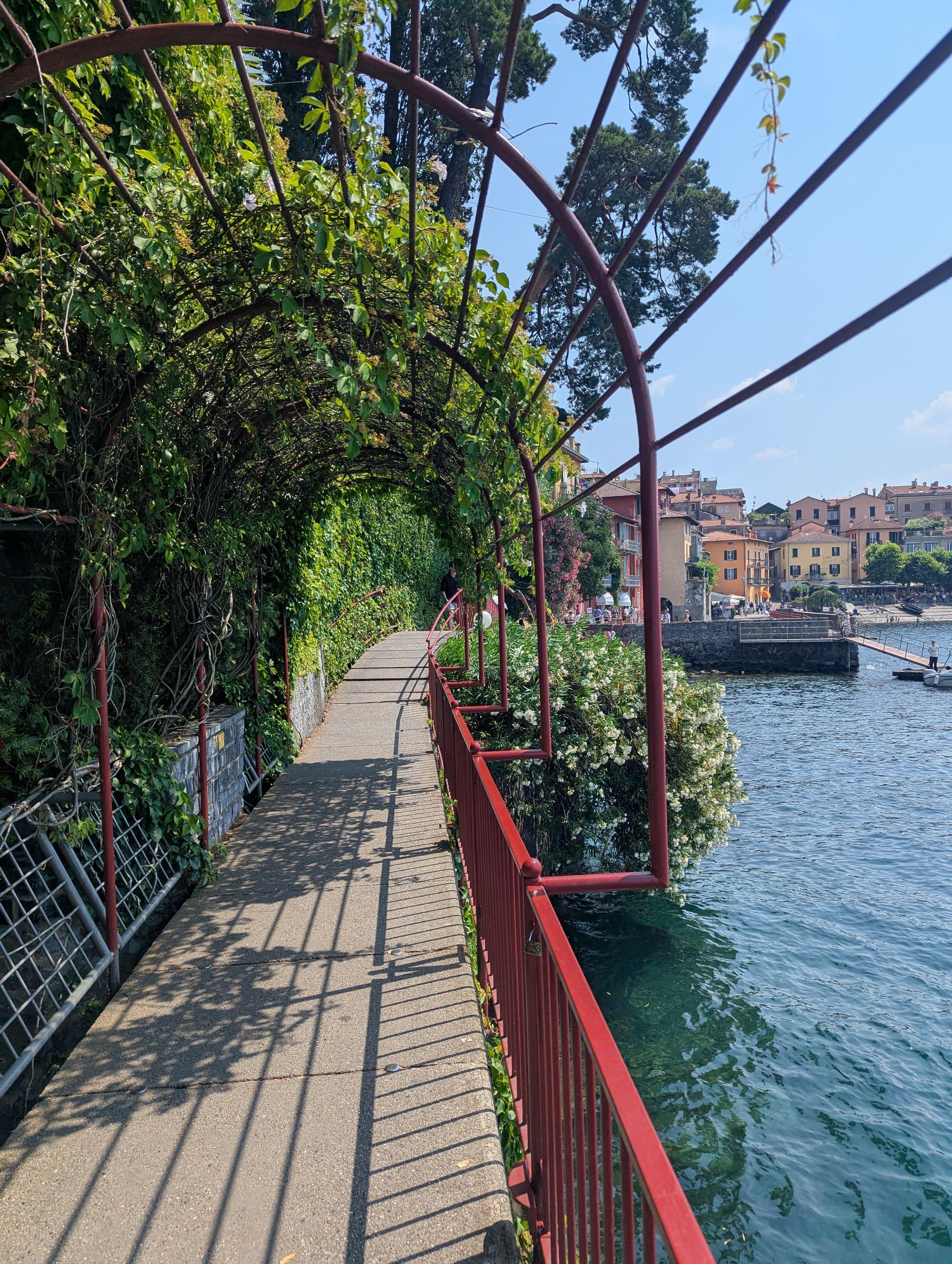
Varenna's footpath between the pier and the centre, fixed to the rock and suspended over the water for three hundred metres.

Visit duration
15–30 min
Booking
Not required
Area
Centro Lago
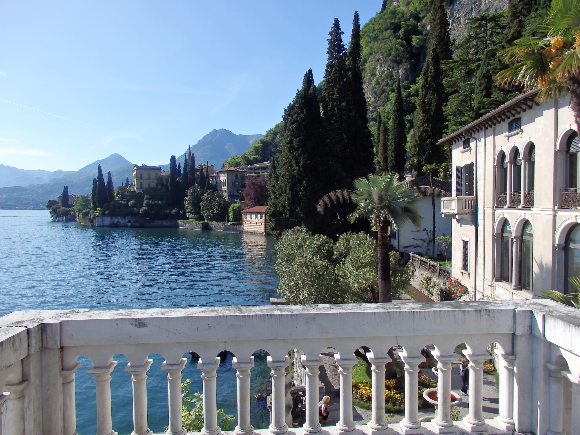
The Lovers' Walk: the walkway over the water under its pergola, Varenna's houses ahead.JoanofPolymer · CC0
  • Deror_avi · CC BY-SA 3.0
  • Guilhem Vellut · CC BY 2.0

1 / 3

The Lovers' Walk: the walkway over the water under its pergola, Varenna's houses ahead.

JoanofPolymer · CC0

Why go

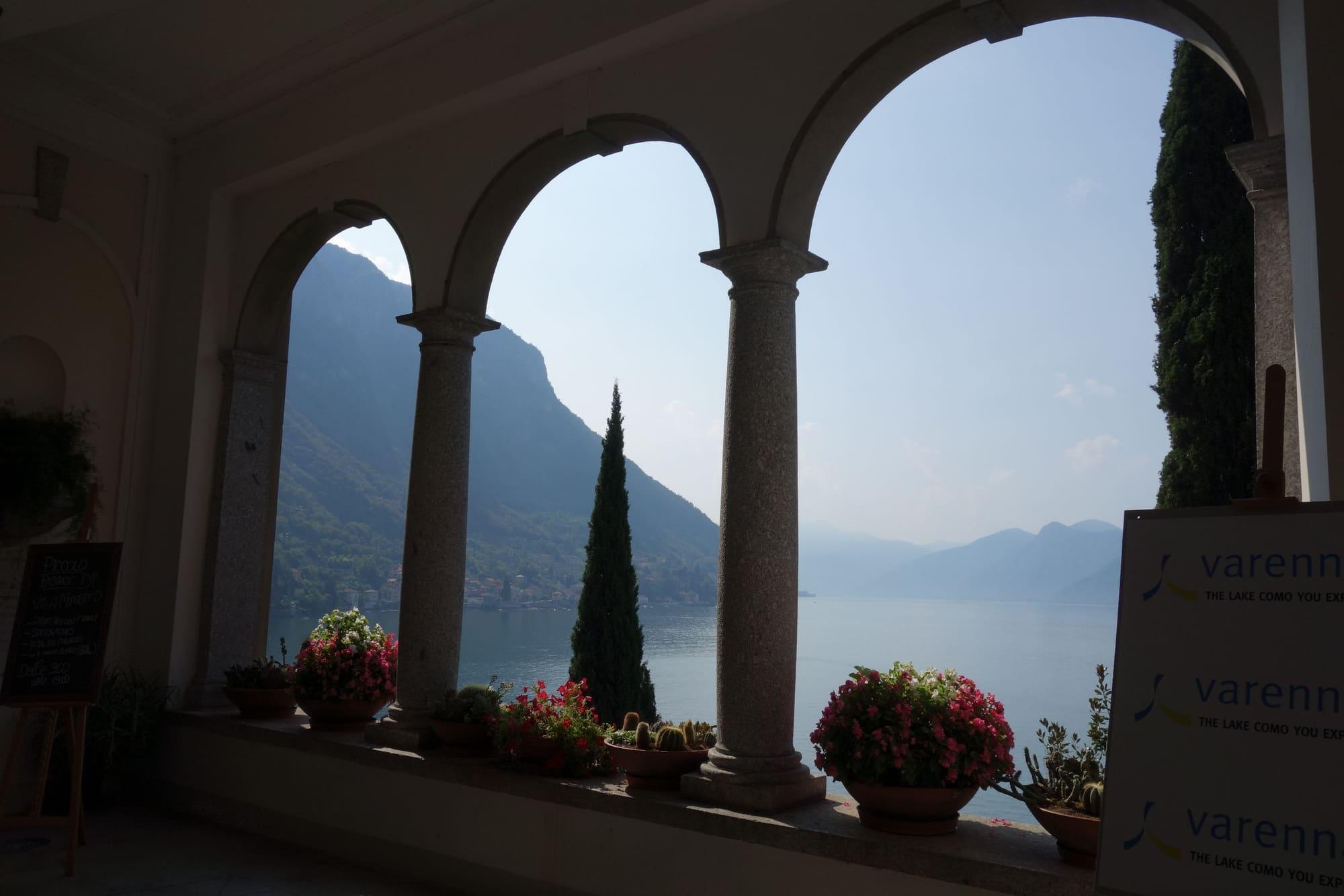
The Passeggiata degli Innamorati, the Lovers' Walk, is the footpath along the lake that links the ferry landing stage with the centre of Varenna, an old fishing village.

In places it runs on a walkway fixed to the rock face and suspended over the water, with a red railing and a pergola covered in climbing plants. Visitors arriving by boat take it to reach the village, with the colourful houses lined up along the shore ahead of them. Along the way you look out over the central lake and the opposite shore, and at the end you come to the little square on the water.

  • The view across the central lake from the path linking the pier and village.
  • The walkway fixed to the rock, with its red railing above the water.

Highlights

  • The suspended section over the water
  • The arrival at Varenna's little square

Getting there

  • From the Varenna ferry pier, heading towards the centre.

Practical information

Access

Can close temporarily in high water or during maintenance

Facilities

  • Car park 165 m away · paid
  • Public toilets 138 m away

Distances from the point on the map.

The light

It faces west: the sun drops behind the mountains of Menaggio and for twenty minutes the red railing and the ochre façades take the same light. Then the blue hour, with Bellagio's lights.

Faces
west
Best light
sunset
Full moon
Tue 24 Nov · 19:03 · east
JuneDecember
15°30°10:0816:10ESW
The skyline measured every two degrees out to twenty-two kilometres, and to two hundred where the near mountains let the Alps show. The solid line is the sun's arc at the summer solstice, which leaves the top of the frame; the dashed one is the winter solstice, with the hour it comes out from behind the mountain and the hour it goes back.

See from here where the sun goes, in 3D

All the photo spots

Webcams

Updated 27 October 2026

The mountains from here

The highest summit in view from here is Monte Bregagno, 2107 m, 11 kilometres away.

Open the panorama with the summits by name
Monte Moregallo, 1276 m, 16.5 kmMonte Moregallo1276Corno di Canzo Occidentale, 1373 m, 16.6 kmCorno di Canzo Occidentale1373Monte Cornizzolo, 1241 m, 19.2 kmMonte Cornizzolo1241Monte Colla, 1097 m, 12.4 kmMonte Colla1097Monte Cornet / Gerbal, 1316 m, 12 kmMonte Cornet / Gerbal1316Monte Ponciv, 1452 m, 11 kmMonte Ponciv1452Cima del Costone, 1611 m, 11.8 kmCima del Costone1611Monte San Primo, 1682 m, 11.9 kmMonte San Primo1682Costa San Primo - Cima di Mezzo, 1541 m, 11.6 kmCosta San Primo - Cima di Mezzo1541Piz del Luser, 1405 m, 12 kmPiz del Luser1405Monte San Bernardo settentrionale, 1351 m, 18.6 kmMonte San Bernardo settentrionale1351Sasso Gordona, 1410 m, 19.1 kmSasso Gordona1410Mater, 1345 m, 19.5 kmMater1345Monte Pasquella, 1331 m, 14.1 kmMonte Pasquella1331Monte Crocione, 1641 m, 6.8 kmMonte Crocione1641Monte Bronzone, 1434 m, 15.7 kmMonte Bronzone1434Il Torrione, 1806 m, 17.1 kmIl Torrione1806Monte Grona, 1736 m, 8.1 kmMonte Grona1736Monte Bregagno, 2107 m, 10.9 kmMonte Bregagno2107Monte San Defendente, 1326 m, 2.8 kmMonte San Defendente1326SSWWNWNNEESE
  • Monte San Defendente, 1326 m, 3 km
  • Monte Moregallo, 1276 m, 17 km
  • Corno di Canzo Occidentale, 1373 m, 17 km
  • Monte Cornizzolo, 1241 m, 19 km
  • Monte Colla, 1097 m, 12 km
  • Monte Cornet / Gerbal, 1316 m, 12 km
  • Monte Ponciv, 1452 m, 11 km
  • Cima del Costone, 1611 m, 12 km
  • Monte San Primo, 1682 m, 12 km
  • Costa San Primo - Cima di Mezzo, 1541 m, 12 km
  • Piz del Luser, 1405 m, 12 km
  • Monte San Bernardo settentrionale, 1351 m, 19 km
  • Sasso Gordona, 1410 m, 19 km
  • Mater, 1345 m, 20 km
  • Monte Pasquella, 1331 m, 14 km
  • Monte Crocione, 1641 m, 7 km
  • Monte Bronzone, 1434 m, 16 km
  • Il Torrione, 1806 m, 17 km
  • Monte Grona, 1736 m, 8 km
  • Monte Bregagno, 2107 m, 11 km

The ochre line follows today's sun path and marks the estimated times of its first and last appearance above the mountains. Drag the panorama to see all of it.

How it is drawn
Paler ridges are farther away; heights are stretched two and a half times. Houses are not drawn, nor are trees within half a kilometre. Terrain © Regione Lombardia (CC BY 4.0); summits © OpenStreetMap contributors.

On the map

Explore the lake
VarennaPasseggiata degli Innamorati

© OpenStreetMap contributors · ODbL

What's on nearby

Events within a few kilometres, on now or coming up.

See all

Nearby: places, experiences, services

Distances as the crow flies.

Sources and credits

Sources and credits