The lake in 3D
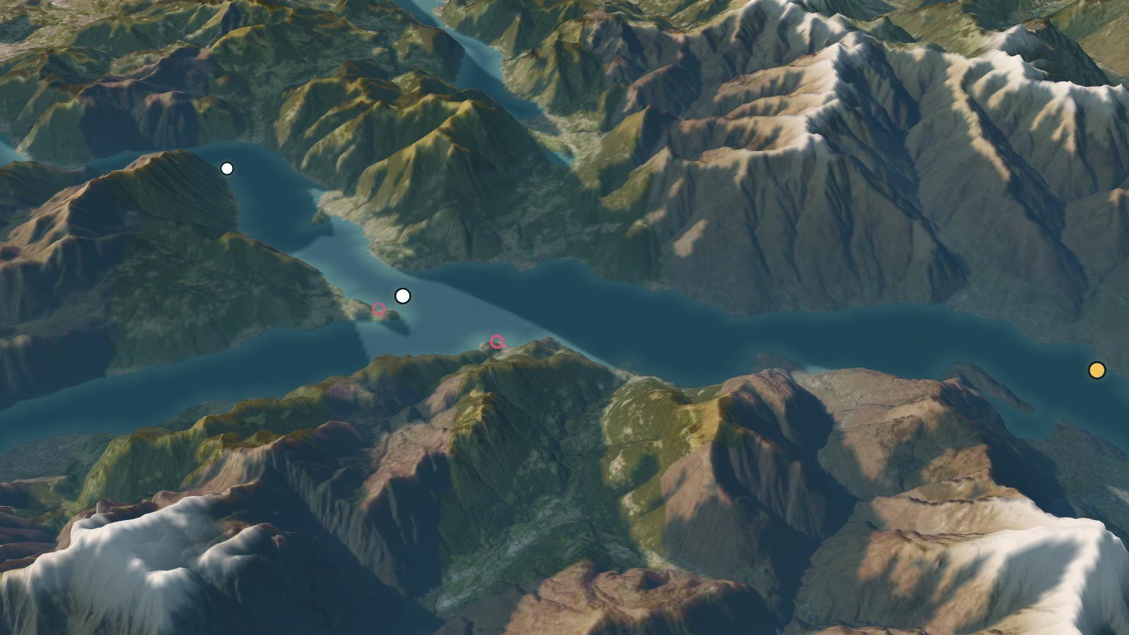
The 3D views of Lake Como, built on the relief of the land: the lake now, the lake through time and the lake from one point.
Now
Today's boats, wind and light, and the night to come.
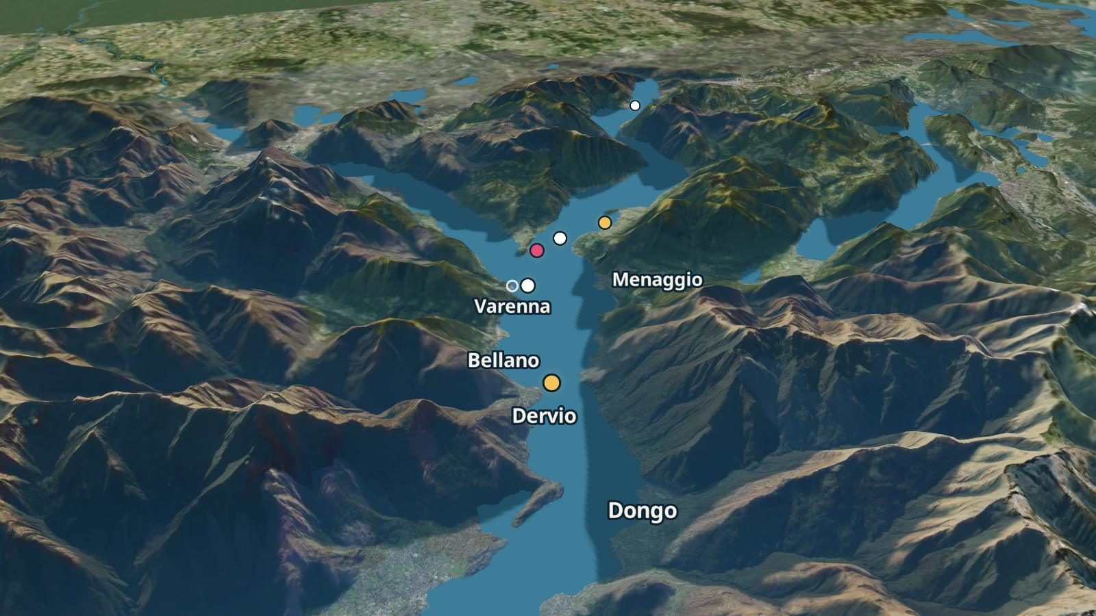
The lake now
The boats where the timetable places them now, the measured wind and the webcams round the lake.
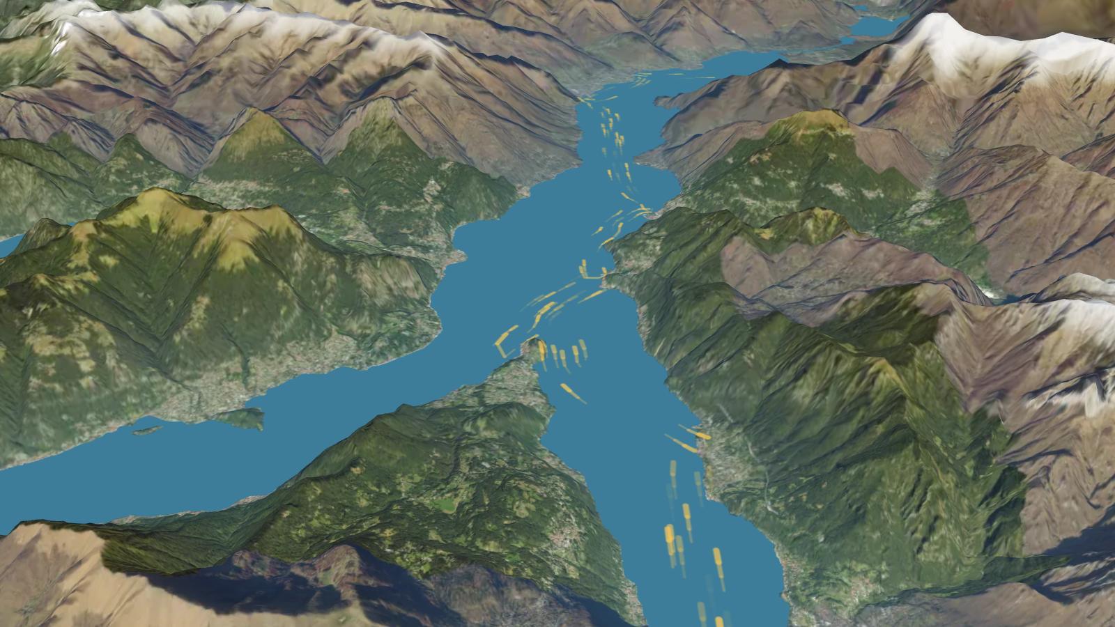
The wind on the lake
The last 48 hours of wind measured at Como, Lecco and Colico, in a minute.
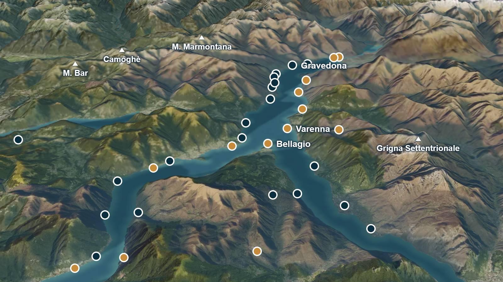
The light on the relief
The mountains' shadow on the lake at this minute, on the model of the land.
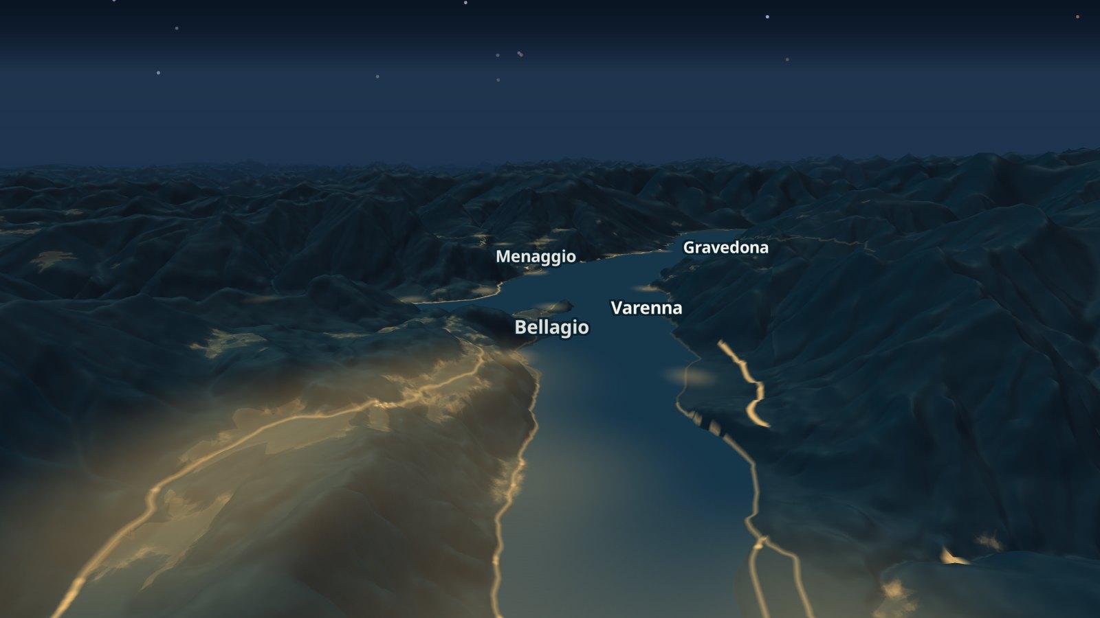
The night
From this evening's sunset to tomorrow's sunrise: the stars, the moon and the villages' lights.
Through time
A day and a year in a minute, the lake in 1975 and under the ice of 24,000 years ago.
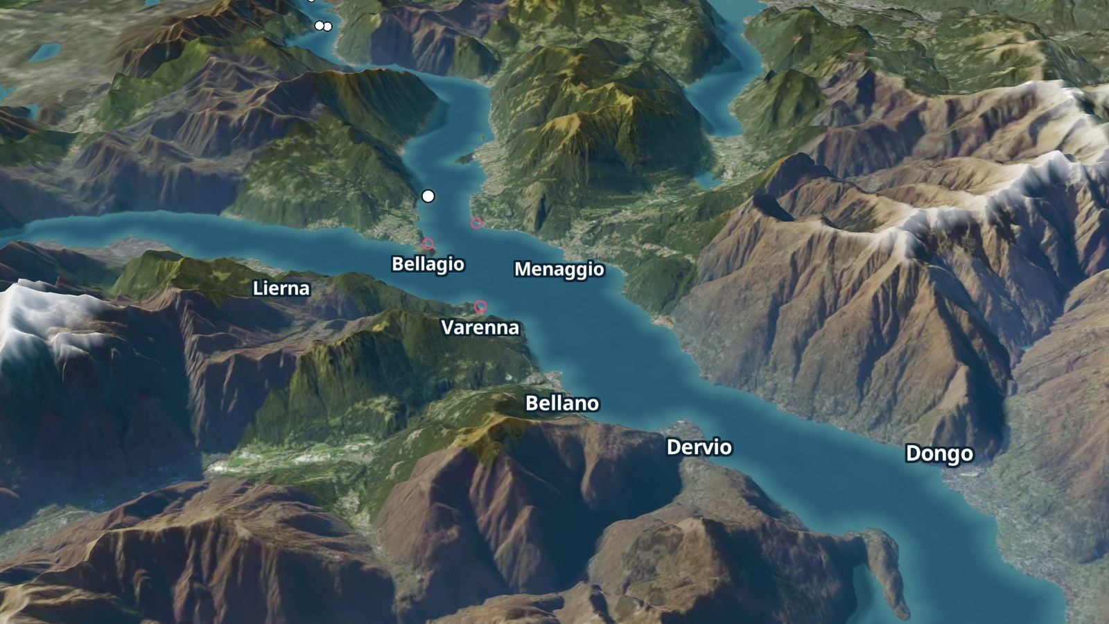
A day in a minute
The chosen day from the first boat to the last: the sun, the shadows and every sailing of the timetable.
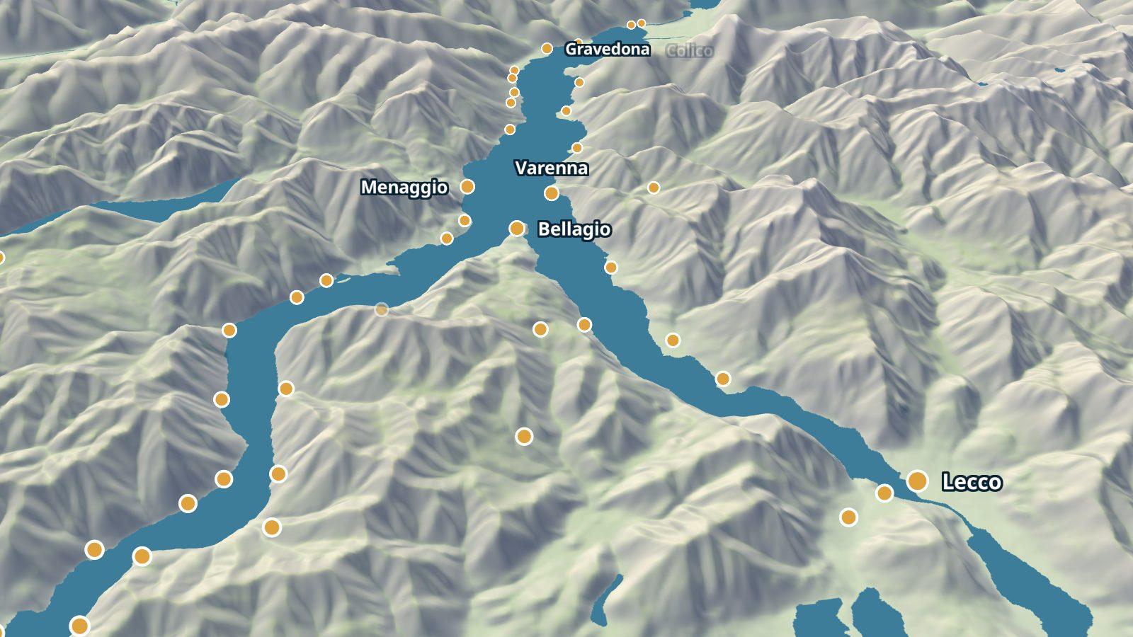
A year in a minute
Every day of the year at the same hour, with each day's shadow of the mountains.
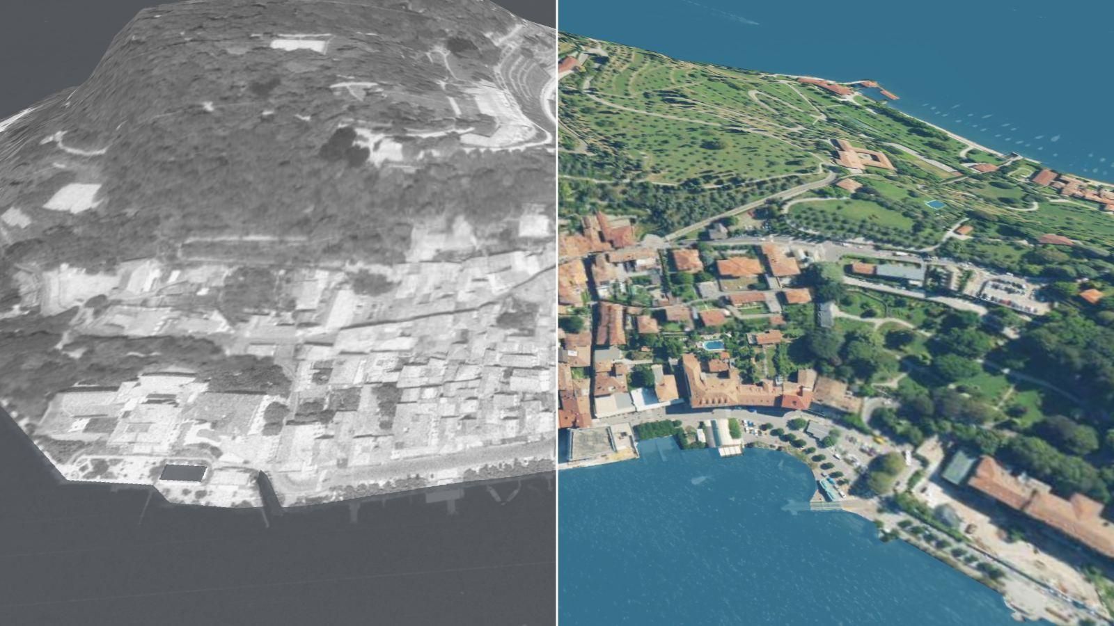
1975 and today
The aerial photographs of 1975 and 2024 on the relief, for twelve villages of the lake.
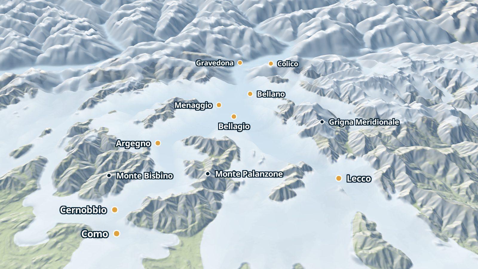
Under the ice
The lake about 24,000 years ago, covered by the Adda glacier: only the highest summits stand out of it.
From one point
The lake seen from the boat, from a village, from a viewpoint and along an itinerary.
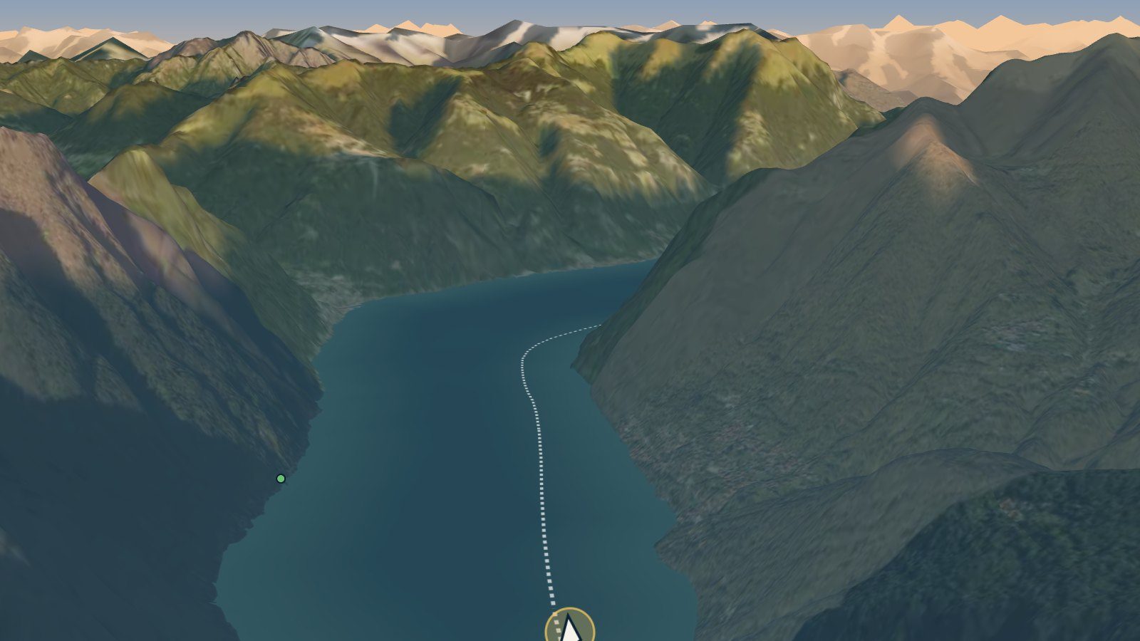
From the boat
The journey from Como to Bellagio followed from behind the boat, with the villas and gardens of both shores.
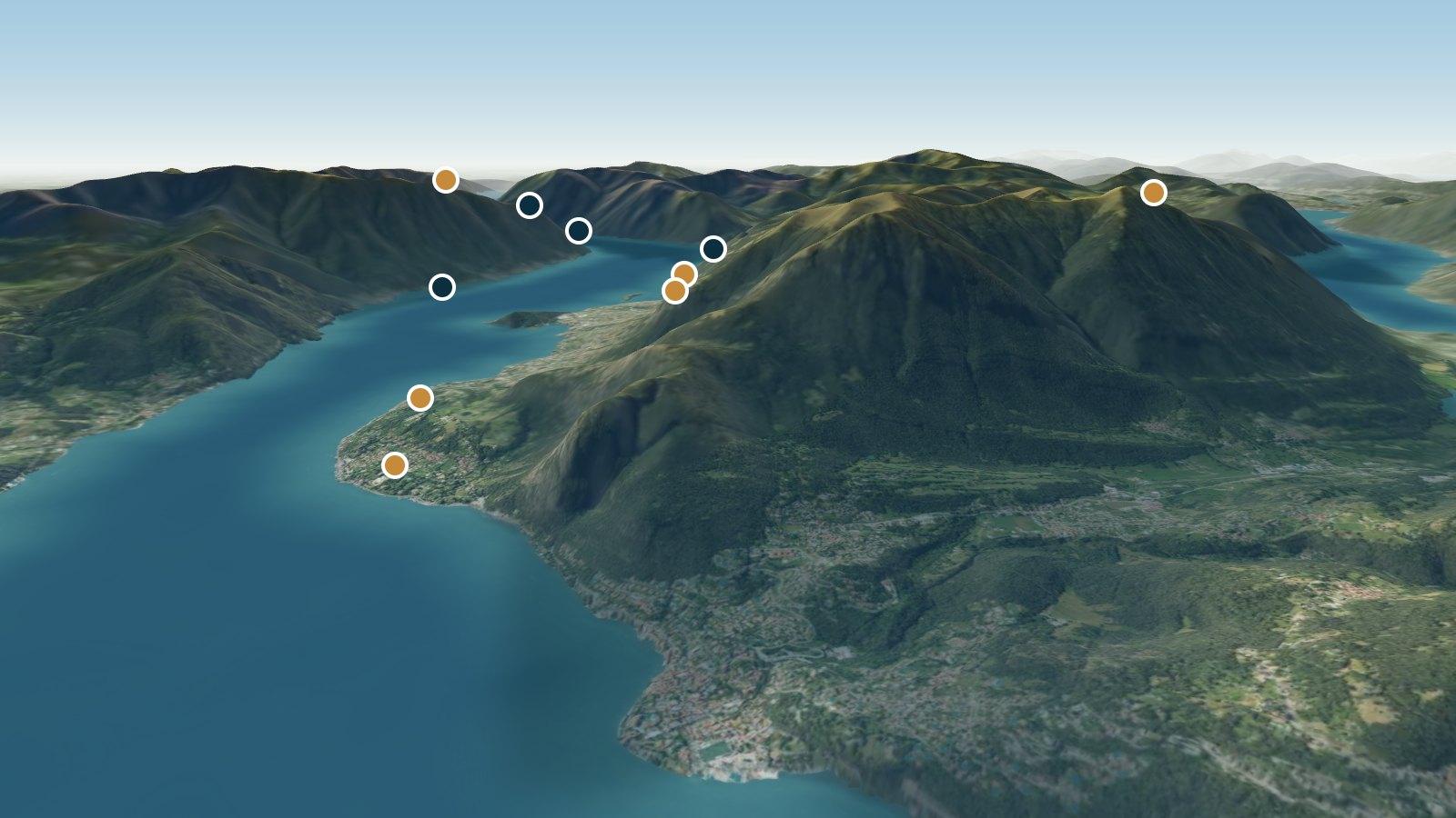
Sunset from a village
The sun going behind the mountains seen from Menaggio, with the mountains at their true height.
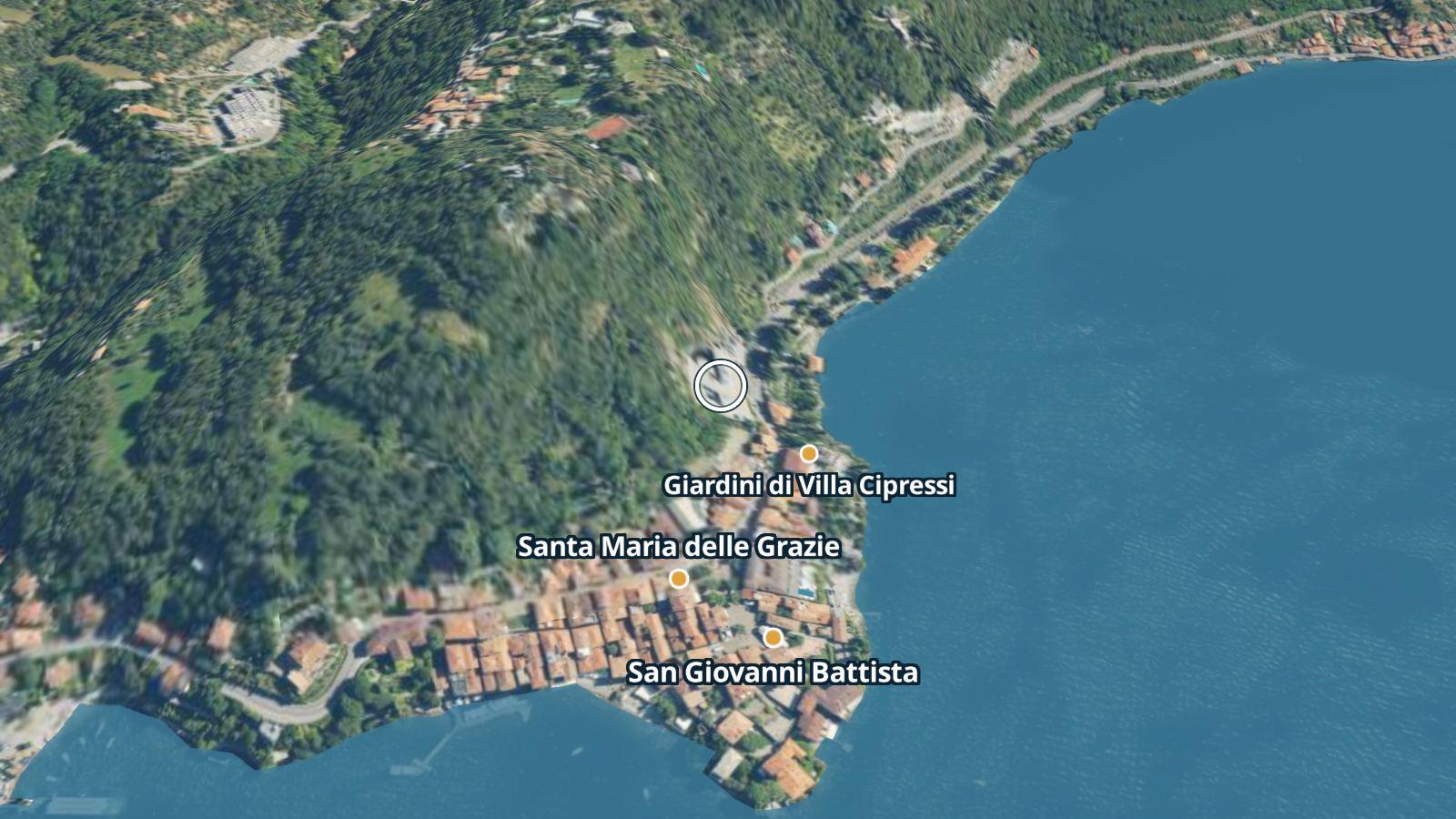
A village from above
Each village has its own view from above: the relief with the names of the places to see and the aerial photograph of 1975 and of today.
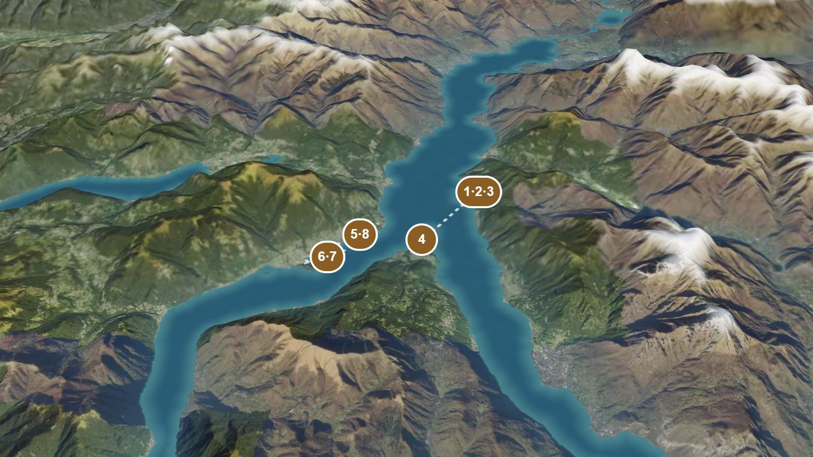
An itinerary flown over
An itinerary's route flown over stop by stop, with a photograph of each stop.
The 360° photographs
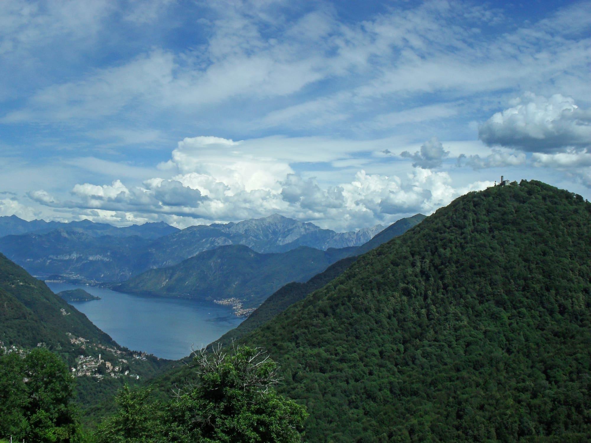
5 360° photographs from viewpoints above the lake, with the names and heights of the summits.