Skip to content

Upper Lake

Monte Berlinghera from San Bartolomeo

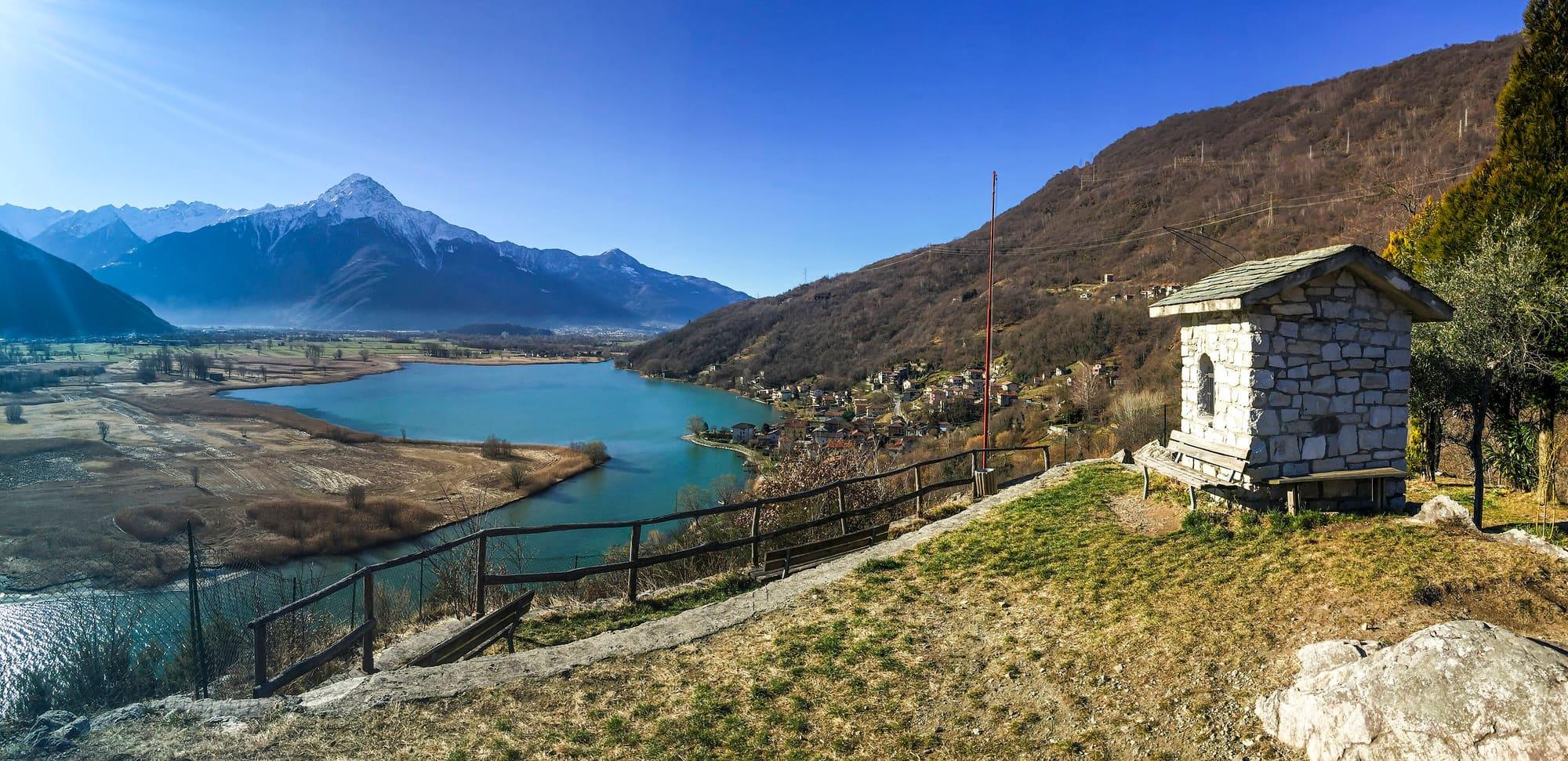
The 1930-metre summit above Sorico, on the border with the province of Sondrio: from San Bartolomeo by the Alpe di Mezzo and the Bocchetta di Chiaro to the cross and the remains of the Alpini chapel, over Lake Mezzola, the Pian di Spagna, the Legnone and Lake Como.

Duration
3 h 30 – 4 h 30
Effort
Moderate
Access
Open to all
Car-free
Needs a car
With children
Not ideal
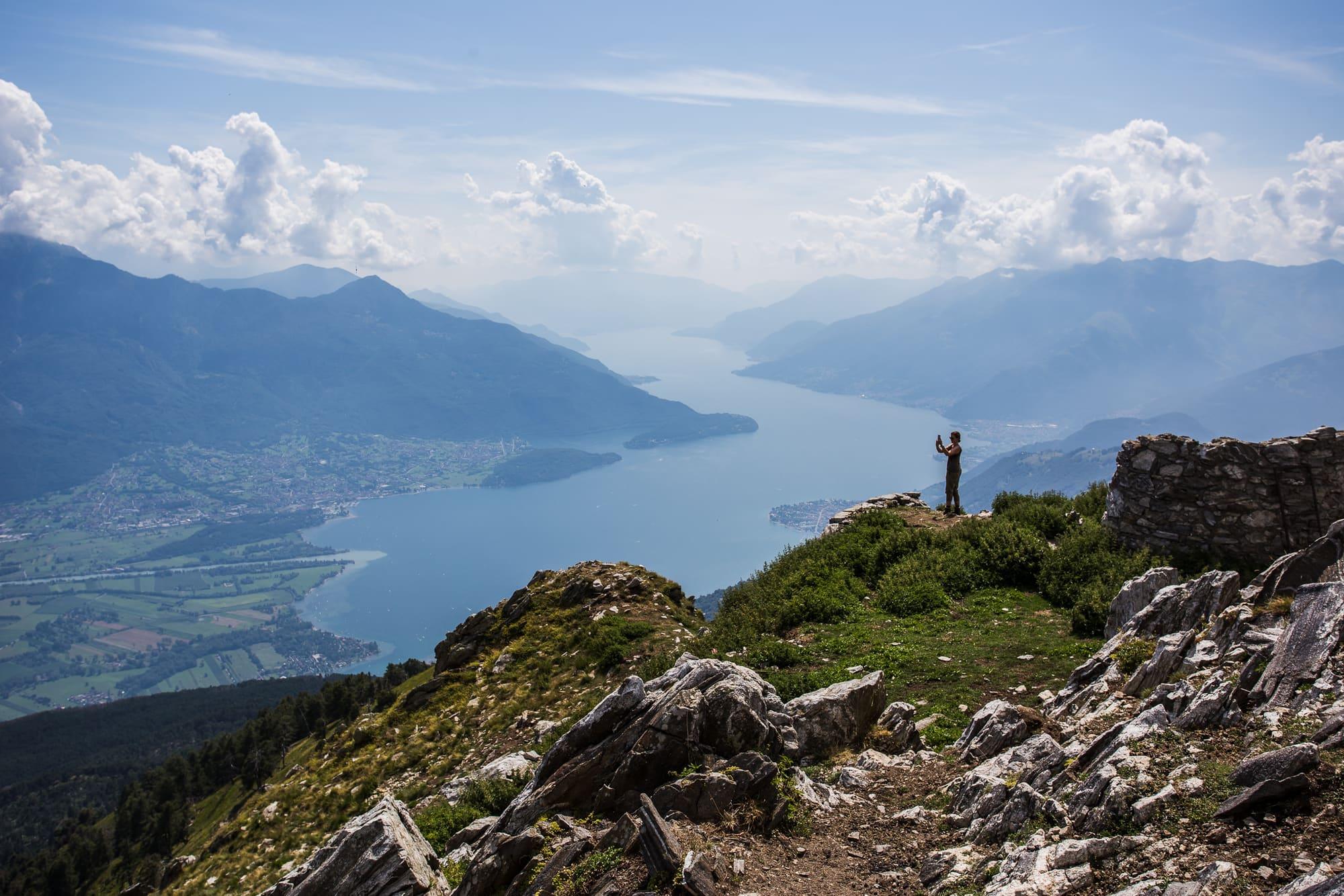
A walker on the summit rocks with raised arms, above Lake Como stretching away between the mountains under a cloudy sky.Hanno Rathmann · CC BY-SA 2.0
  • Gerwin Kasperek · CC BY 4.0
  • BYrover · CC BY-SA 4.0
  • Tournasol7 · CC BY 4.0

1 / 4

A walker on the summit rocks with raised arms, above Lake Como stretching away between the mountains under a cloudy sky.

Hanno Rathmann · CC BY-SA 2.0

How it works

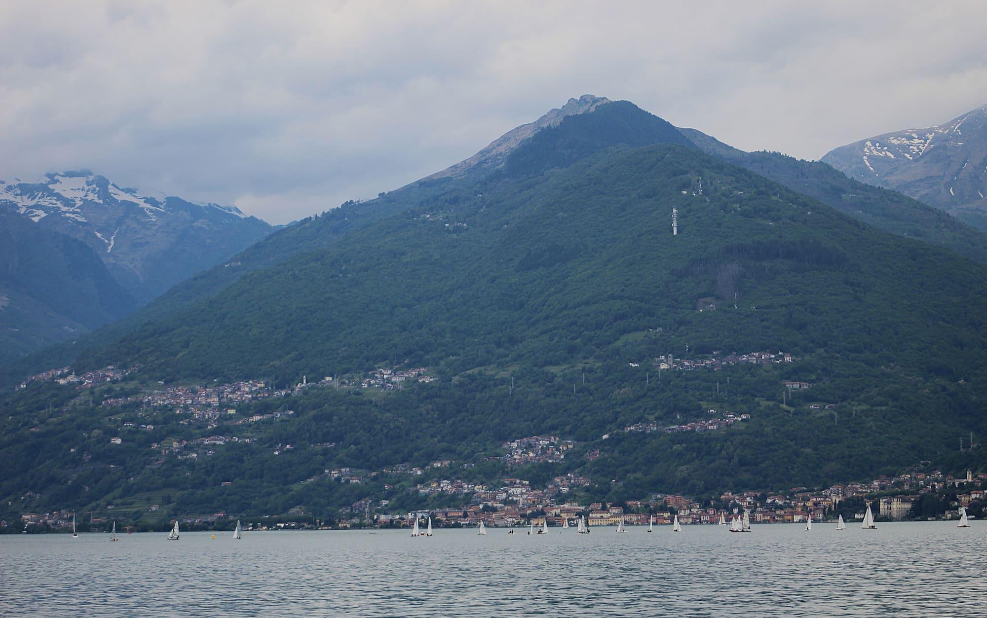
Monte Berlinghera, 1930 metres, is a peak of the Lepontine Alps on the western shore of Lake Como and Lake Mezzola, on the border between the provinces of Como and Sondrio, reached by a walk that is not too difficult.

Behind the church of San Bartolomeo you take the path signed for the Sasso Canale and the Alta Via Lariana, through a wood of fir, beech and oak, to a dirt road you follow to a junction, then keep left with the waymarks. Out of the wood you meet the dirt road again and come between the Alpe di Mezzo, at 1540 metres, and the Alpe Pescedo, at 1560; from there you head for the high-voltage pylon ahead and, by a faint trace, for the second pylon, that of the Bocchetta di Chiaro, at 1666 metres. To the right a short and fairly awkward stretch through larch and fir leads to the foresummit with the cross, and in about ten minutes you are on the top, where there are the remains of a chapel dedicated to the Alpini. From the summit you see the Valchiavenna and Lake Mezzola with the Pian di Spagna to the north, Monte Legnone to the left and Lake Como with its mountains to the south. You come down the same way, or by the dirt track to San Bartolomeo.

  1. Six kilometres and 730 metres of climb to the 1930-metre summit, two and a quarter hours up and an hour and three quarters down, on path and waymarked track. The route is of moderate difficulty, for May to November; check the weather forecast before setting off.
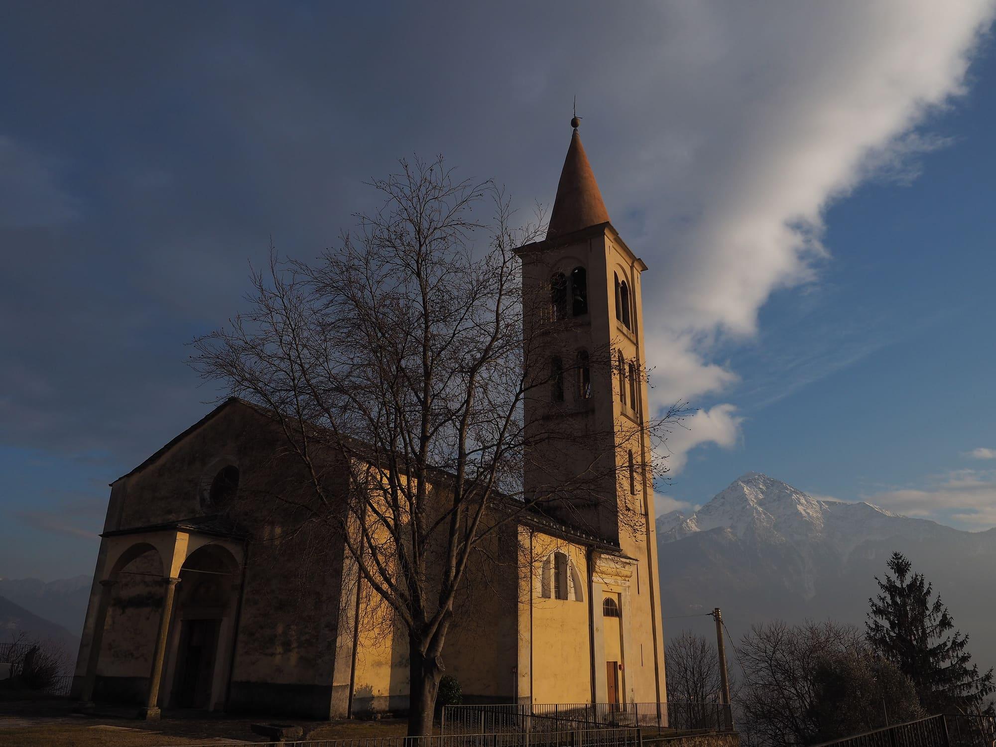
  2. San Bartolomeo is reached by car from Gera Lario, turning before the bridge over the San Vincenzo stream towards Bugiallo; after about three kilometres, at the fork, right on the narrow but surfaced road, twelve kilometres in all. You park by the church.
  3. There are no huts or refreshment points along the path; on the road, before San Bartolomeo, there are an agriturismo and a mountain house.
  4. The same path also leads up to the Sasso Canale, 2411 metres, over the Lario, the Valchiavenna and the Valtellina: at the Alpe di Mezzo you take the steep path behind the huts, follow the ridge to the cairn of the Terminone, the very long wall that divided the alpe's private pasture from Montemezzo's common ones, then scree, a steep gully and the fairly exposed crest beyond the Sasso Bianco. It is a difficult climb: 12.5 kilometres and 1210 metres of climb, three and a half hours up and two and a half down, June to October.

WhereDomaso · Sorico

On the map

Explore the lake
DomasoSoricoMonte Berlinghera from San Bartolomeo

© OpenStreetMap contributors · ODbL

Nearby: places, experiences, services

Sources and credits

Sources and credits