Skip to content

The Triangle

Monte San Primo from Civenna

Duration
5 h – 6 h
Effort
Moderate
Access
Open to all
Car-free
Needs a car
With children
Not ideal
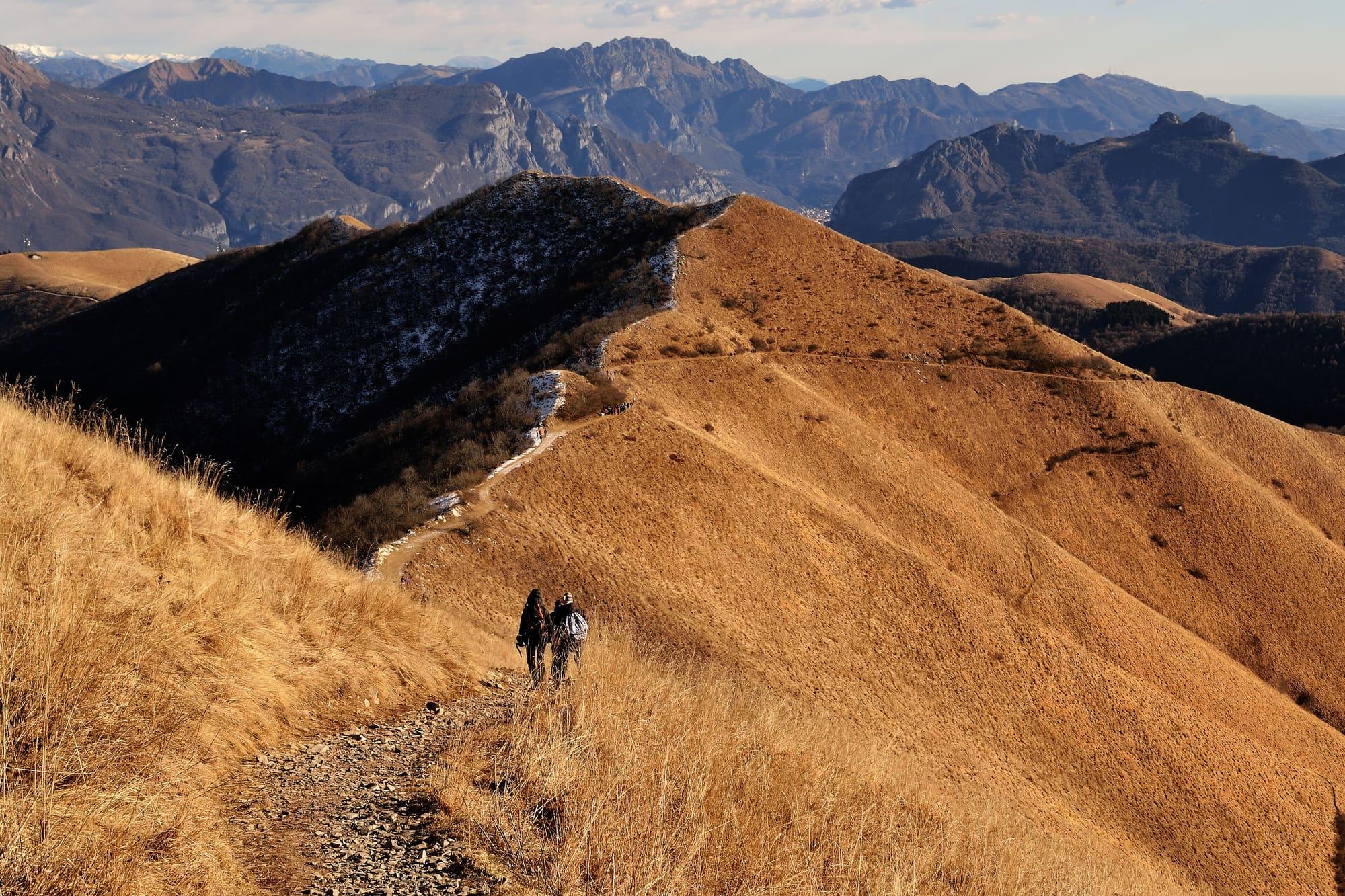
Two walkers on the ridge path through dry, golden winter grass, with a few patches of snow and the mountains behind.Fabrizio Colace · CC BY-SA 4.0
  • Mario Falcetti · CC BY 4.0
  • Moggius · CC BY 4.0

1 / 3

Two walkers on the ridge path through dry, golden winter grass, with a few patches of snow and the mountains behind.

Fabrizio Colace · CC BY-SA 4.0

How it works

Monte San Primo, 1,682 metres, is the highest summit of the Triangolo Lariano, with a view over both branches of Lake Como.

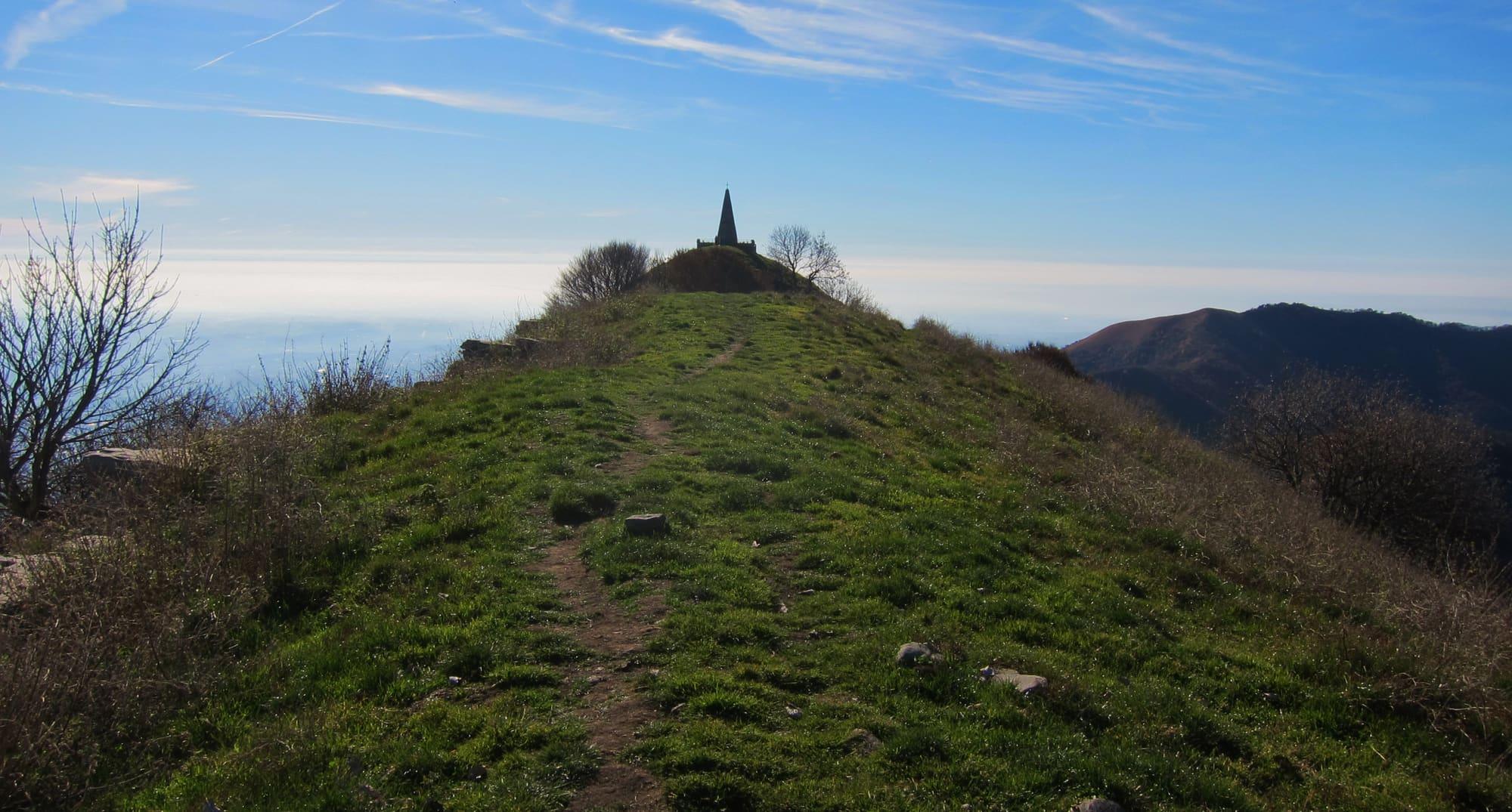
The seventh Bellagio Trekking route climbs it in a loop from Civenna, Piazza Milano, at 625 metres. First comes the Tronca mule track through the woods, with a few minutes' detour to the Croce di Civenna above the village and the lake; then the erratic boulders and the Sasso Lentina. Higher up stands a beech about two hundred years old known as “Fòò Sec”: at its foot is boundary stone no. 63, which marked the line between the municipalities of Civenna and Bellagio. Beyond the Alpe del Borgo you reach the Terra Biotta pass, already looking over the lake, and from there the summit is fifty minutes away, up a steep meadow and the ridge. The way down follows the dirt road and a path with a view of the Grigne group to Pian Rancio, and back to Civenna.

  1. A 17.5-kilometre loop with 1,060 metres of ascent and the same of descent, about five hours without stops, on paths and dirt roads. It is a hiking route (E), for March to November.
  2. It starts and ends at Civenna, Piazza Milano, with parking nearby on Via Cermenati. Water on the way is at Cascina Giacinta, a short distance from the track.
  3. Bring the Triangolo Lariano mountain community's path map at 1:25,000; along the way, at San Primo and Pian Rancio, there are hotels, restaurants and a mountain hut.

WhereBellagio · Magreglio

On the map

Explore the lake
BellagioMagreglioMonte San Primo from Civenna

© OpenStreetMap contributors · ODbL

Nearby: places, experiences, services

Sources and credits

Sources and credits