Madonna del Ghisallo
Magreglio30 min – 1 h 30
The Triangle
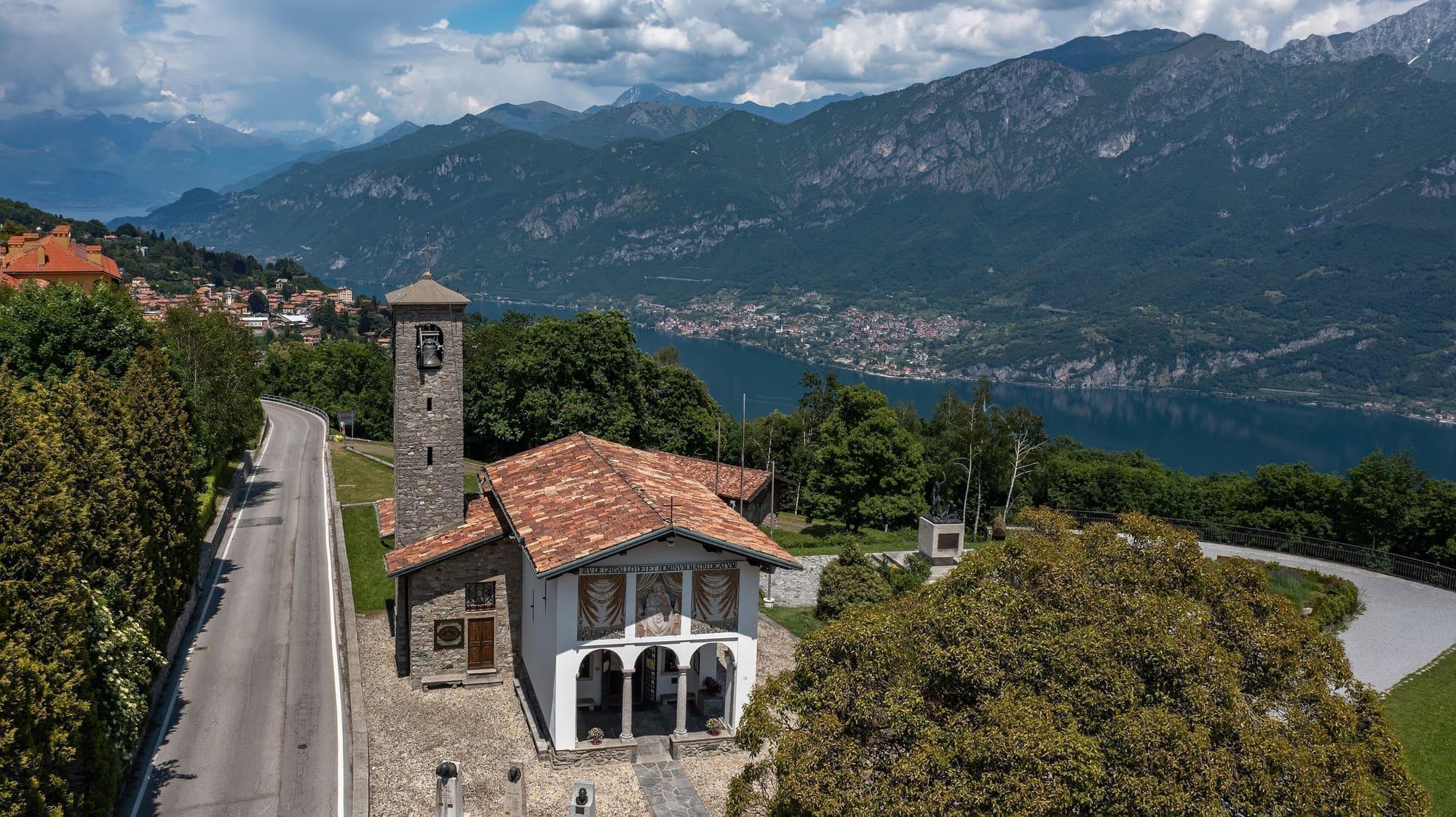
Ten kilometres from Bellagio up to the cyclists' chapel.
From Bellagio the road climbs to the Ghisallo pass with gradients touching 14 per cent: one of cycling's historic ascents, used by the Giro di Lombardia.
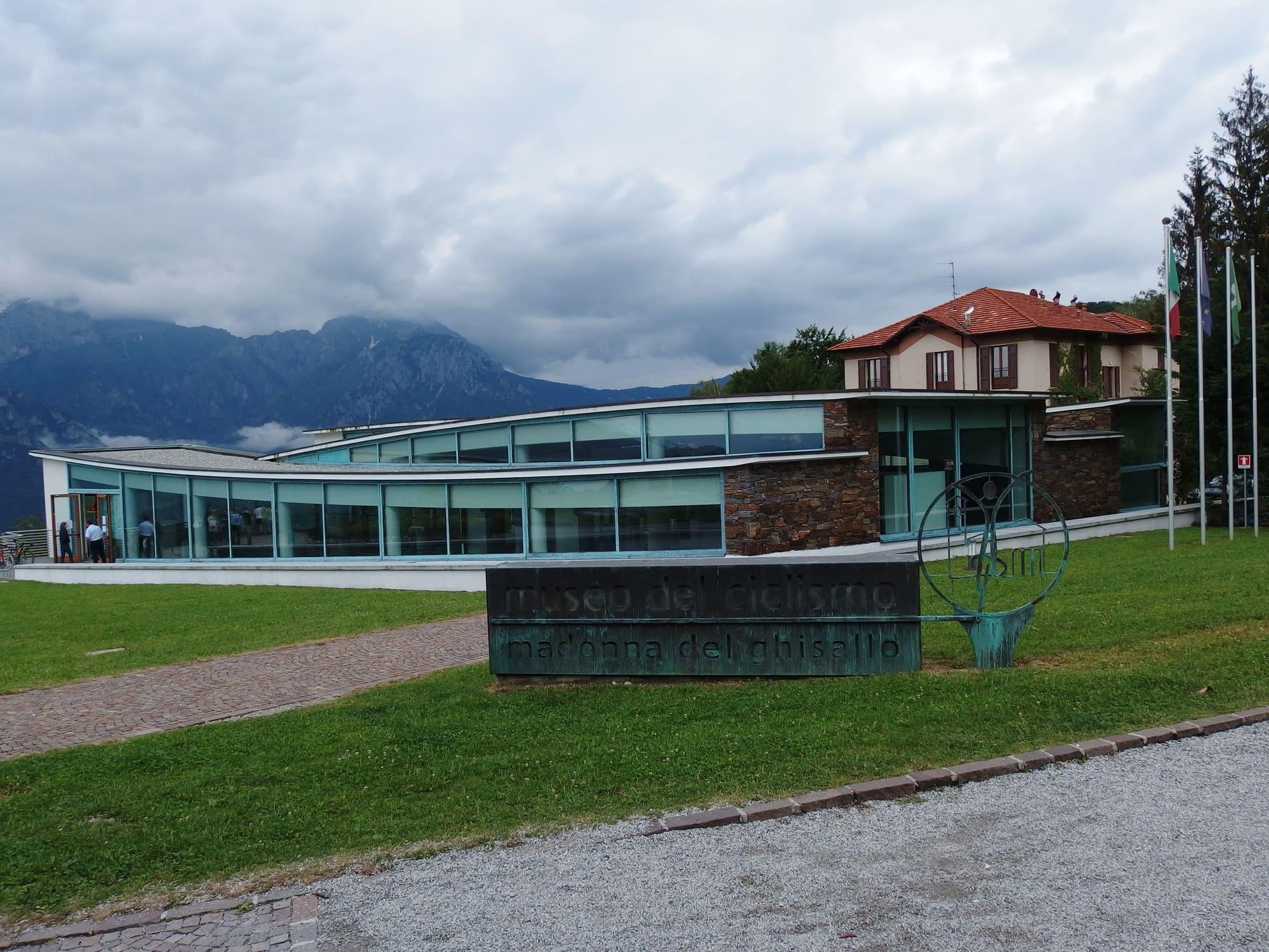
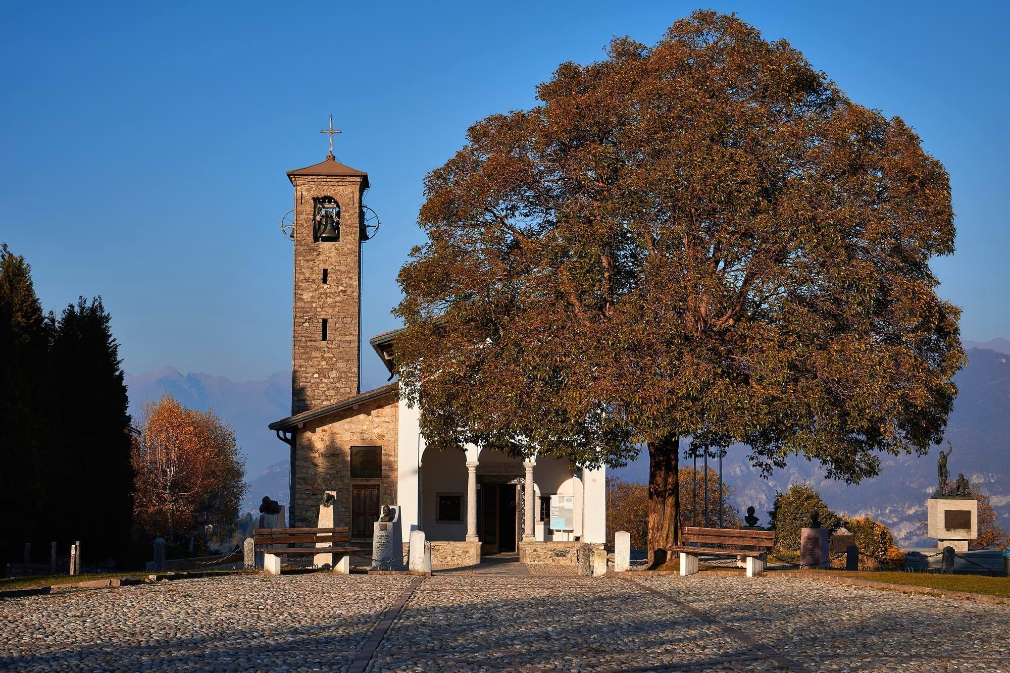
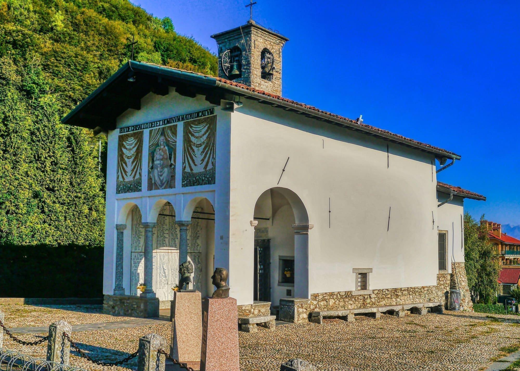
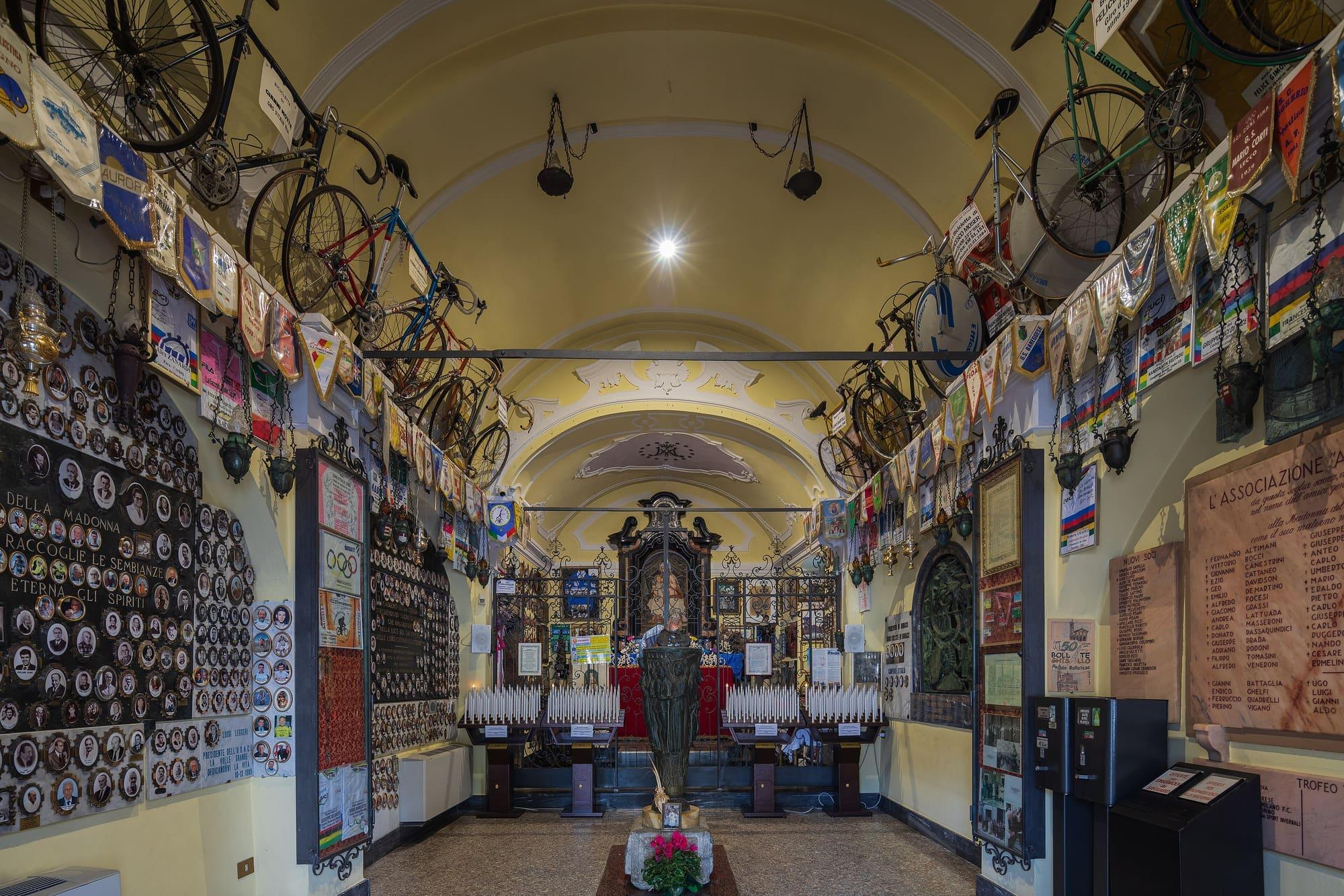
At the top stands the sanctuary of the Madonna del Ghisallo, patron of cyclists since 1949, with champions' bicycles hanging on the walls, and beside it the Museum of Cycling.
Length, climb, altitude and riding time calculated on the route's track. The track runs from Bellagio to Ghisallo.
At Ghisallo, where the stage ends, the sun goes behind the ridge today at 11:52.
Trail status
No closures reported by the trail managers; last checked on 1 October 2026. Ordinances and landslides can close a path without warning.
Track routed with BRouter over the roads and paths of OpenStreetMap (© contributors, ODbL); heights from Terrain Tiles (SRTM/EU-DEM). Time is an unhurried rider's: 15 km/h on the flat plus an hour for every 500 m of climb, without stops. The profile is exaggerated vertically. Sources: BRouter · Terrain Tiles
© OpenStreetMap contributors · ODbL
Events within a few kilometres, on now or coming up.
25Jul 2027
On the last Sunday in July Magreglio, the village of the Ghisallo, celebrates its patron saint with a fair on the church square and lunch in front of the church.
9Oct 2027
The Giro di Lombardia, the autumn cycle race known as the Race of the Falling Leaves.
Verified at source8 Oct 2026Museo del Ciclismo Madonna del Ghisallo — Visitaopens in a new tab
Verified at source8 Oct 2026Museo del Ciclismo Madonna del Ghisallo — Visitaopens in a new tab