Trails
Refuges and ridges
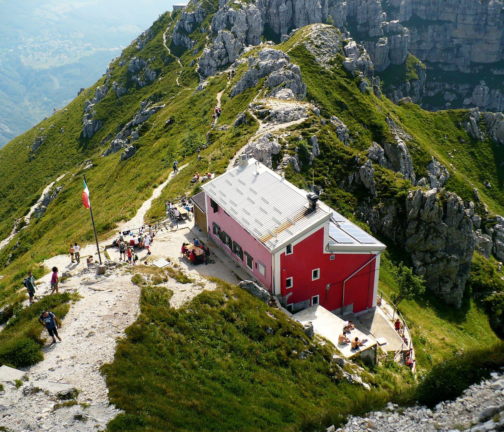
Refuges that cook, above the lake: the Rifugio Menaggio, at 1,383 metres, is an hour and three quarters' walk from Breglia.
19 km
Upper Lake
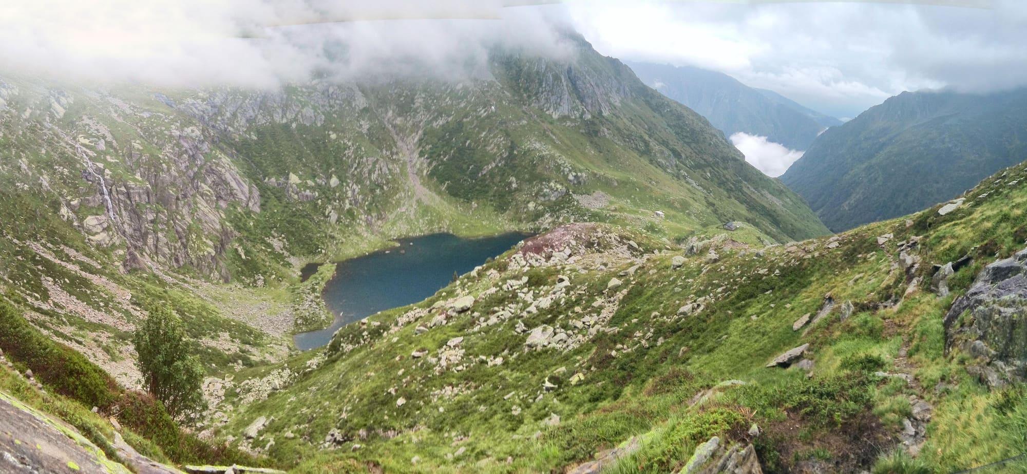
An Alpine tarn at 1790 metres at the head of the Val Darengo, above Livo: from Dangri by the mule track past the Sant'Anna sanctuary, the huts of Borgo, the Alpe Darengo and the last rocky stretch, up to the Capanna Como.
Lago Darengo is an Alpine tarn of clear water between granite massifs and jagged ridges, at the head of a wild-looking valley with waterfalls and woods, below the Pizzo della Gratella, the Pizzo Campanile, the Sasso Bodengo and the Pizzo San Pio. At Dangri, before the crotto, you cross the bridge over the stream and climb the steep mule track towards Baggio: in the chestnut wood you meet the sanctuary of Sant'Anna and follow a Way of the Cross up to the pastures of Baggio, at 970 metres. A narrower path enters the valley, crosses several streams and reaches the huts of Borgo, at 1055 metres; then it runs beside the Darengo stream, goes through a beech wood and comes out on the meadows by the bridge to the Rifugio Pianezza, at 1252 metres. Keeping left of the stream you climb to the Alpe Darengo, at 1380 metres, and from there by hairpins through the wood to an open and fairly steep rocky stretch that leads to the Rifugio Avert Darengo, at 1774 metres; a few steps on are the lake and the Capanna Como, at 1790. You return the same way.
WhereGravedona ed Uniti · Dongo
© OpenStreetMap contributors · ODbL