Until22Nov
Paolo Schiavocampo. Vedere lo spazio e misurare il vuoto
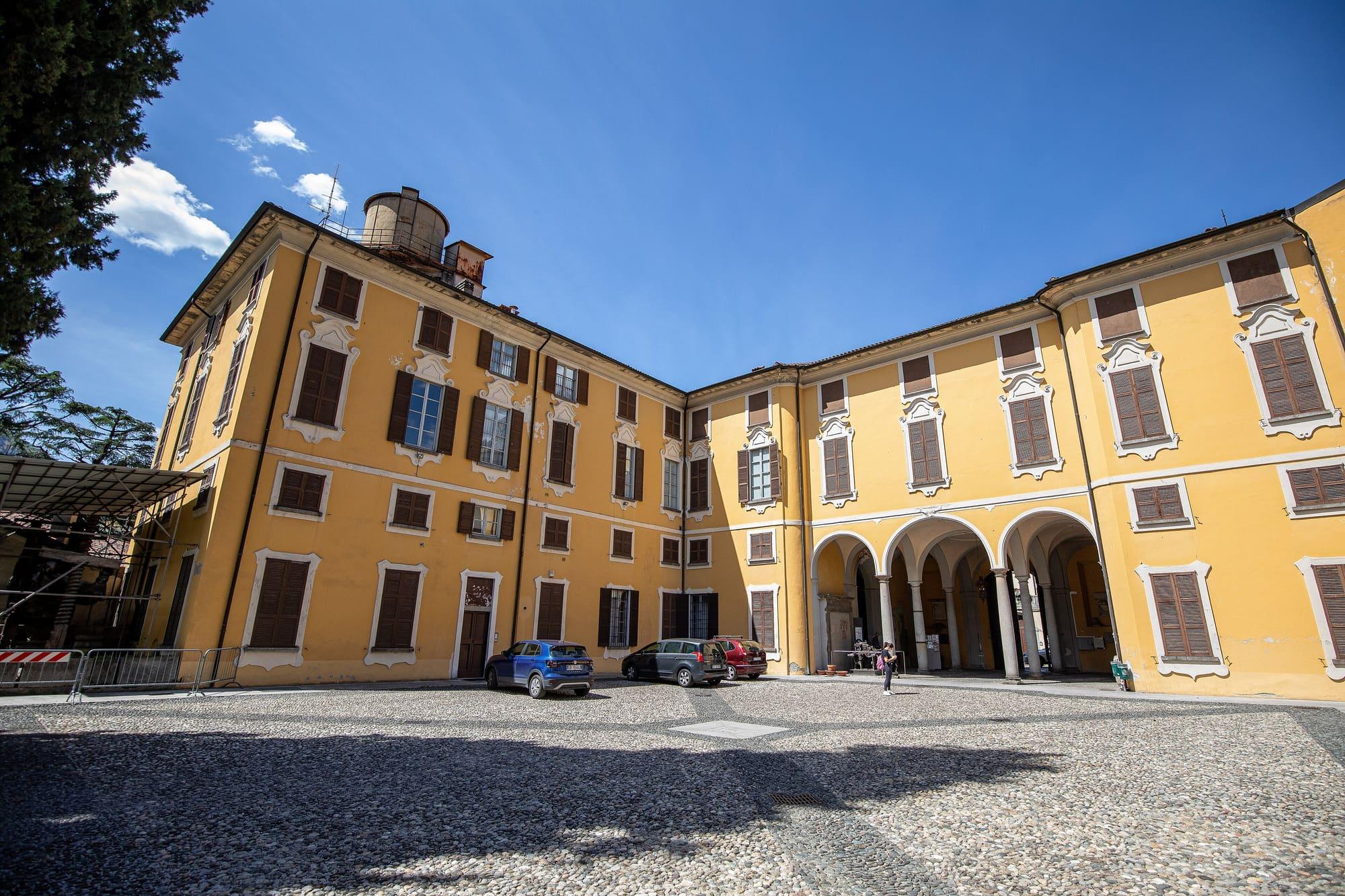
More than seventy sculptures, paintings and drawings by Paolo Schiavocampo at Palazzo delle Paure, in the autumn.
Palazzo delle Paure, Lecco
Lecco Branch
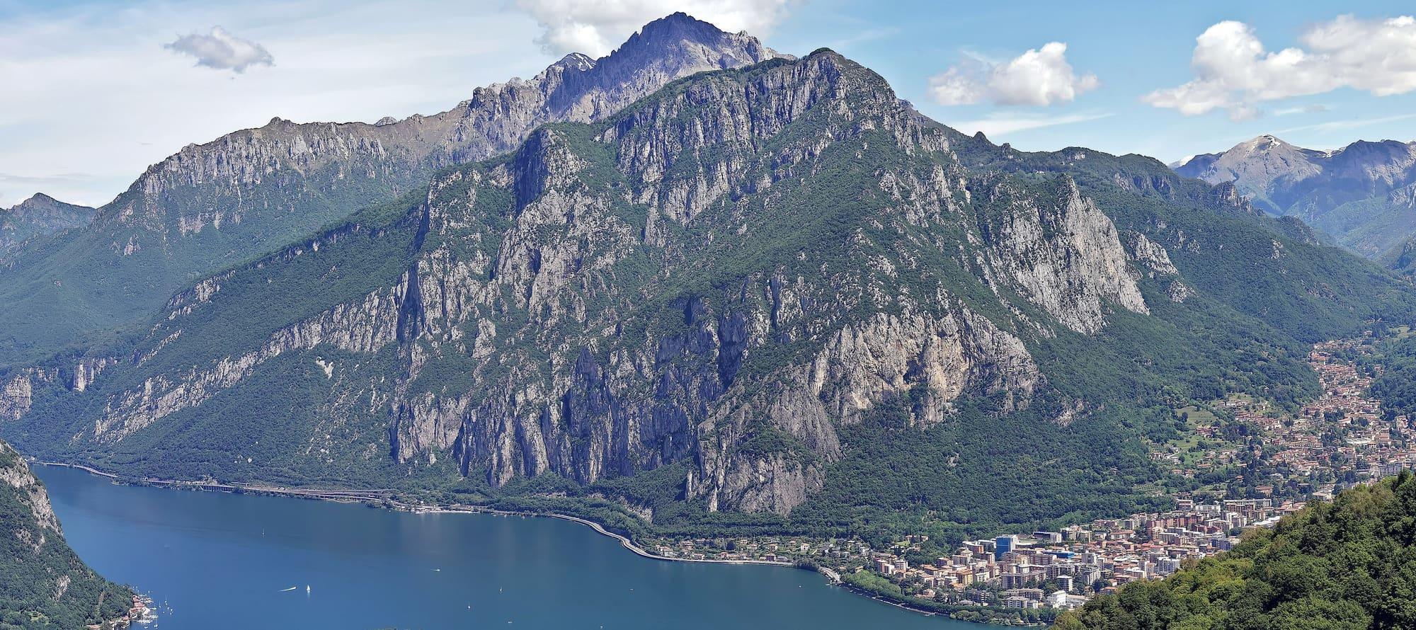
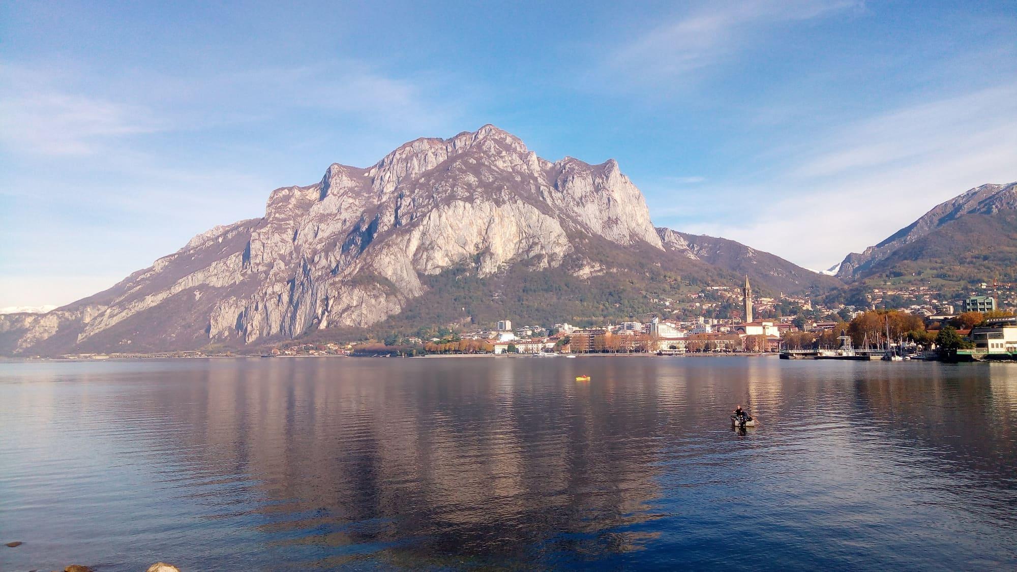
The mountain that stands sheer over Lecco: from Rancio by path 52 to the little church of San Martino and the Rifugio Piazza, and for experienced hikers on to the Crocione, with the whole town below.
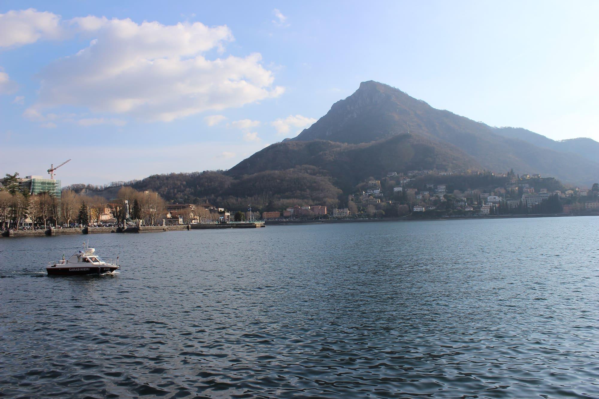
Monte San Martino, 1090 metres, is the last southern spur of the Grigne: its walls rise sheer right above Lecco and also serve as a climbing crag.
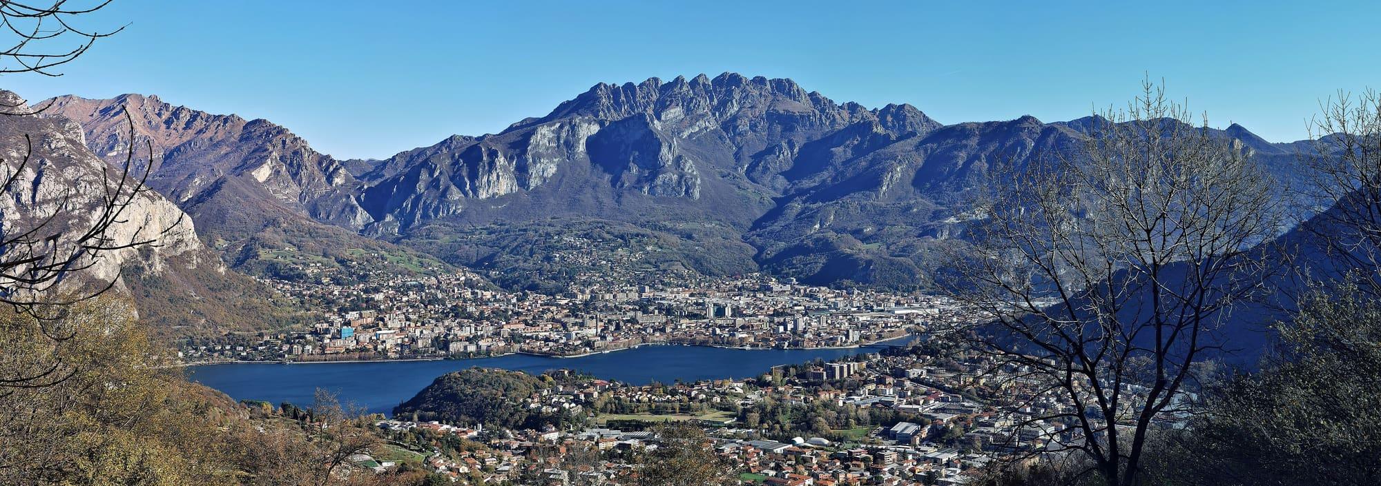
Manzoni names it at the opening of The Betrothed, beside the Resegone. The people of Lecco also call it Monte Marcio, the rotten mountain, for the landslides that break its rock away; towards the lake the face drops in a row of towers, the Pizzetti. The classic path starts from the district of Rancio: in Via Paradiso the gradient makes itself felt at once, then path 52 enters thick woodland, over stretches of earth and rock steps, and on a stone appears the inscription “L'è dura”, it's hard, which announces the arrival. The little church of San Martino, at 746 metres, is a chapel dedicated to the Madonna del Carmine, on a natural terrace from which the lake begins to show; a few steps away is the Rifugio Riccardo Piazza, at 767 metres. Higher up, at 1046 metres, the Crocione has a small metal platform jutting out over Lecco, from which you see every district of the town, Monte Barro, the lakes of Garlate and Annone and, on the clearest days, the Milanese plain.
WhereLecco
© OpenStreetMap contributors · ODbL
Events within a few kilometres, on now or coming up.
Until22Nov
More than seventy sculptures, paintings and drawings by Paolo Schiavocampo at Palazzo delle Paure, in the autumn.
Until25Nov
Stalls selling food, clothing and other goods in central Lecco.
25Nov
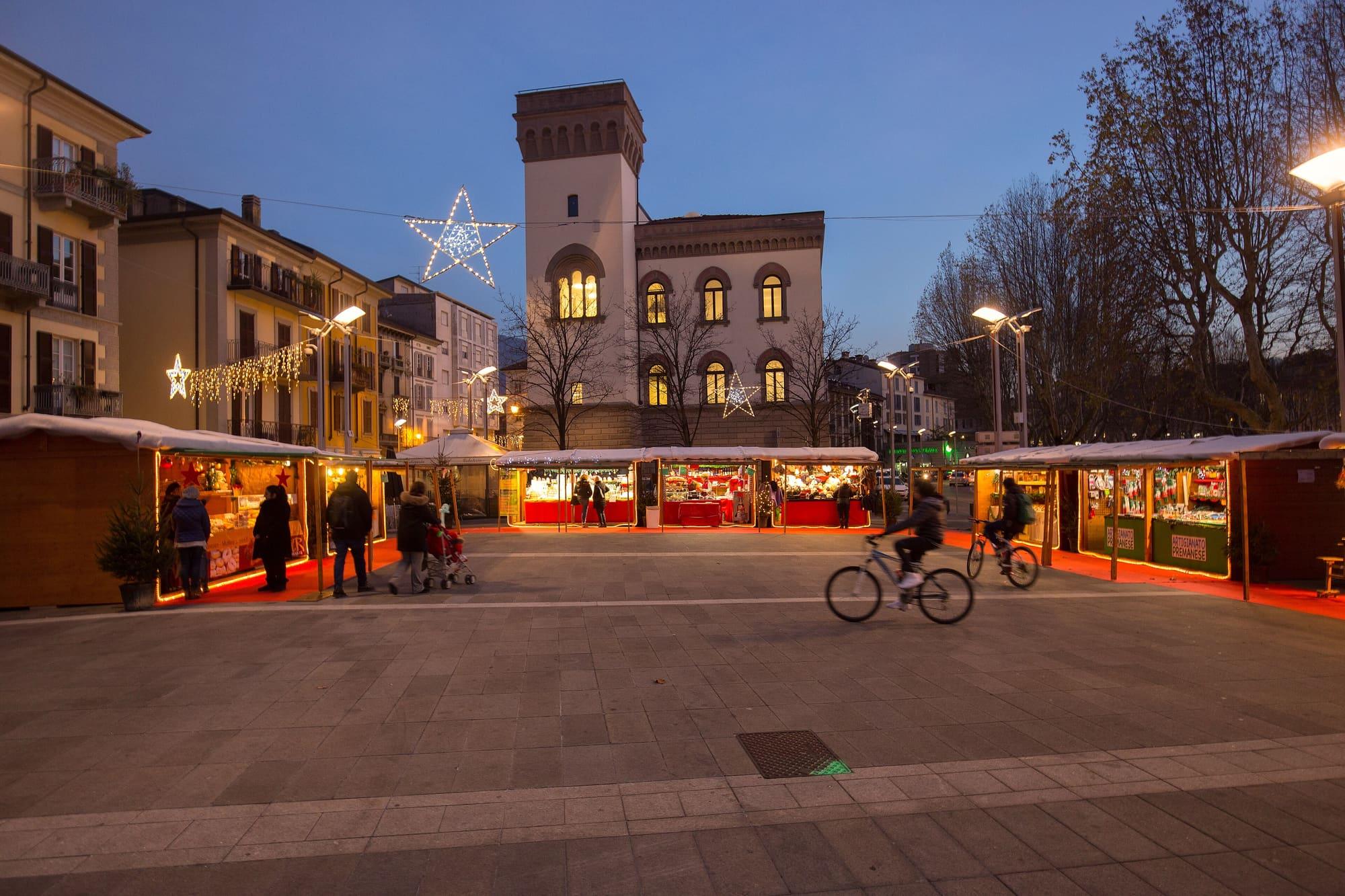
Wooden chalets on piazza XX Settembre and Cermenati, until Epiphany.