Skip to content

Lecco Branch

Monte Coltignone from the Piani Resinelli

The mountain behind San Martino, 1,479 metres above Lecco: from the Piani Resinelli through the beech wood of the Parco Valentino, past the viewpoint walkway, to the summit, on a path that suits families too.

Duration
2 h – 3 h
Effort
Gentle
Access
Open to all
Car-free
Needs a car
With children
Suitable
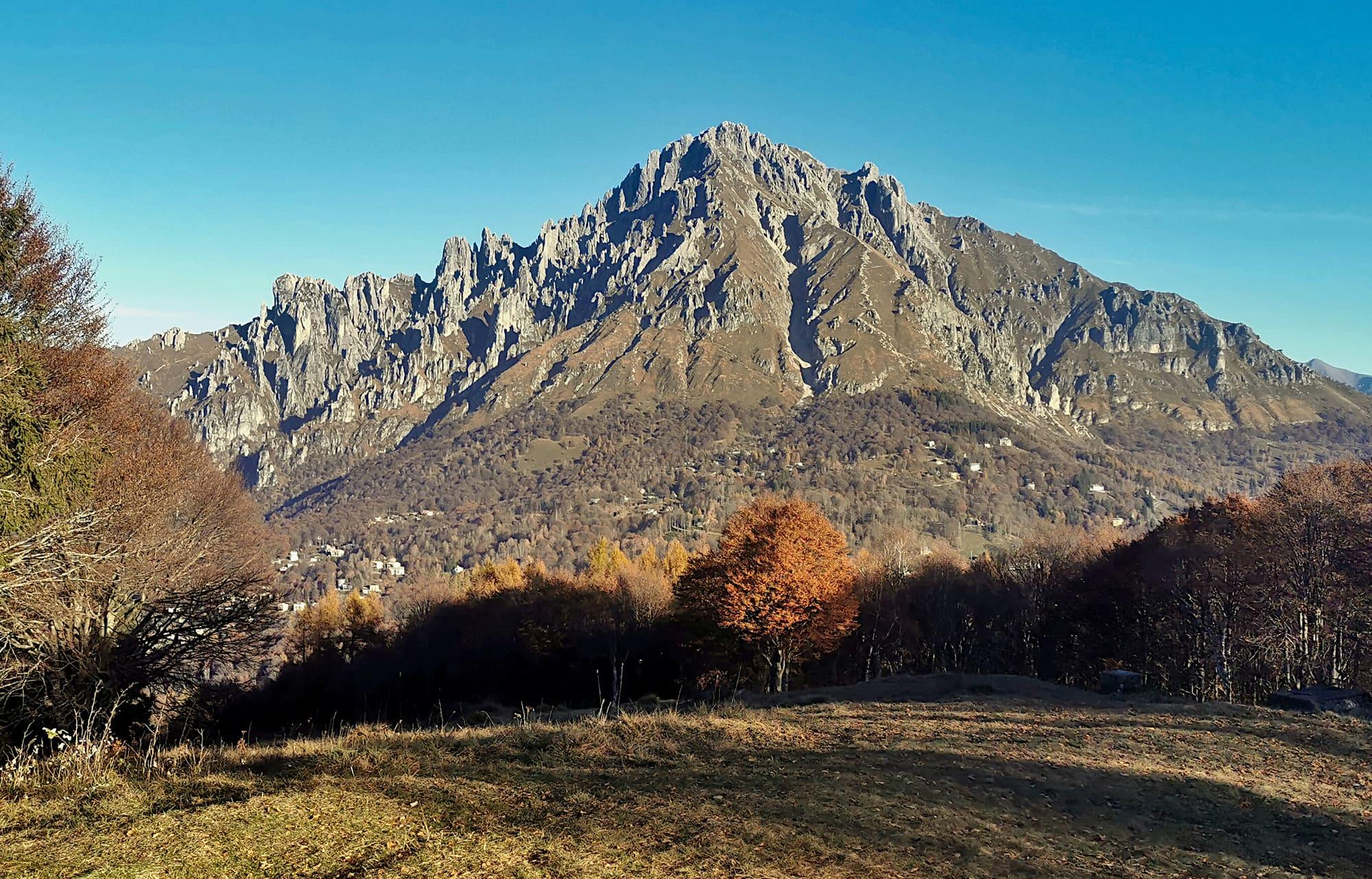
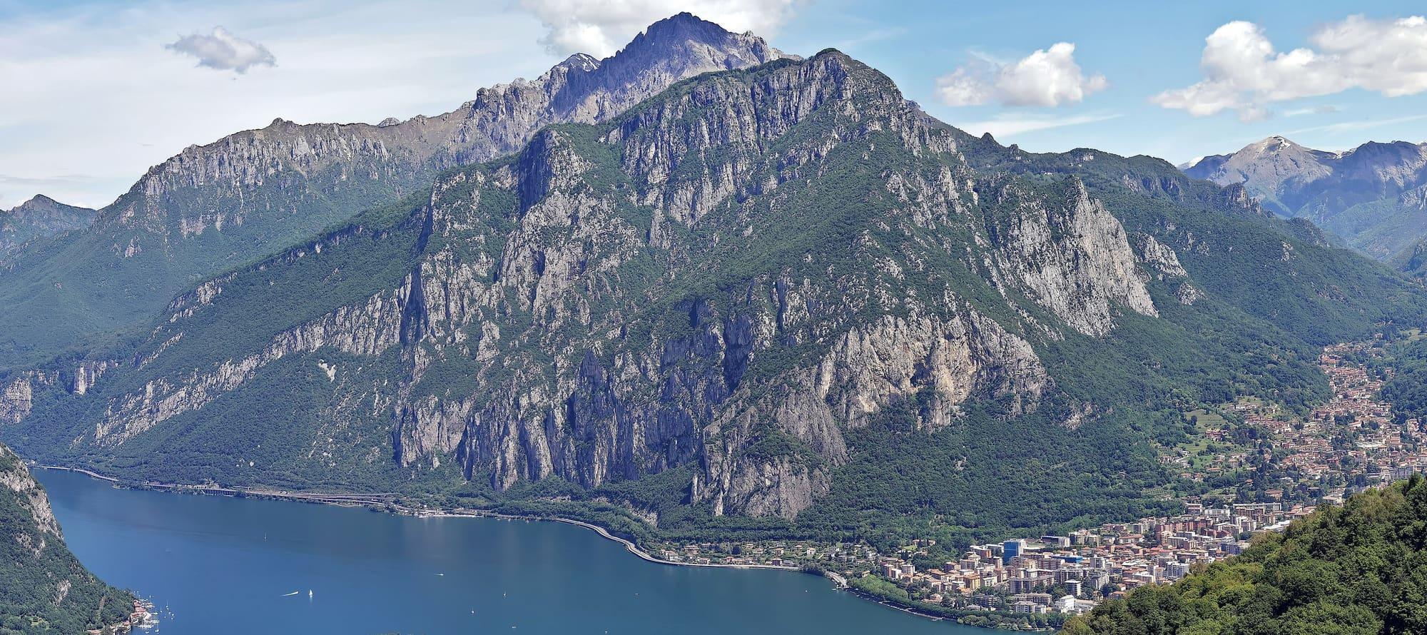
The Coltignone seen from Monte Barro: limestone walls and woods dropping to the lake, Lecco on the shore to the right and behind, higher, the Grignetta.Kaitu · CC0
  • Kaitu · CC0
  • Kaitu · CC0

1 / 3

The Coltignone seen from Monte Barro: limestone walls and woods dropping to the lake, Lecco on the shore to the right and behind, higher, the Grignetta.

Kaitu · CC0

How it works

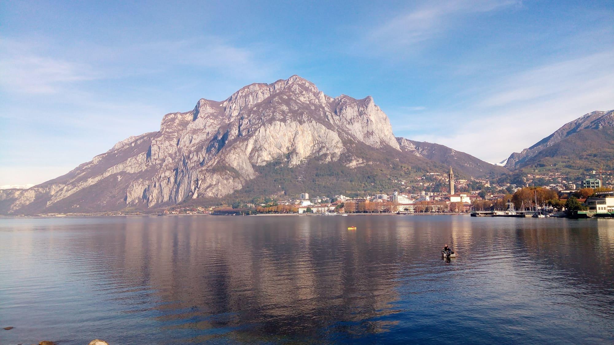
The Coltignone, 1479 metres, can be recognised from many kilometres away: its south side is all steep slopes and jutting rock, its north side falls gently under a cover of vegetation.

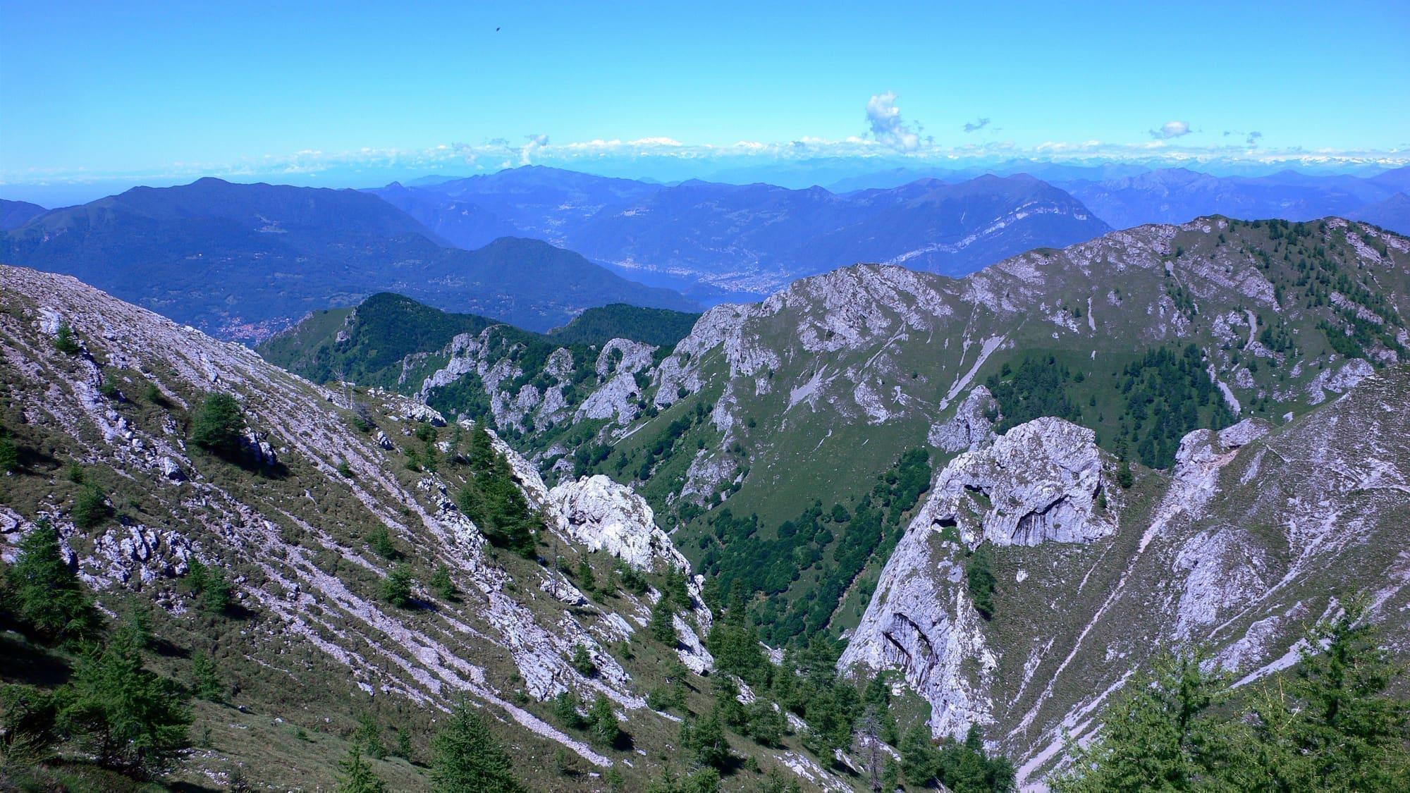
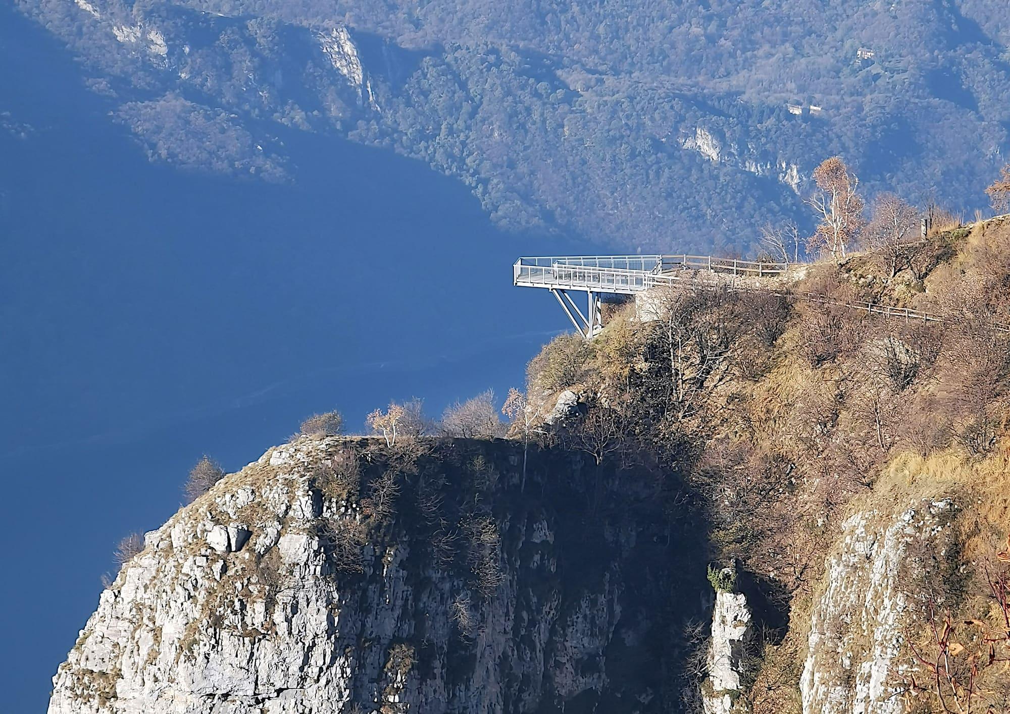
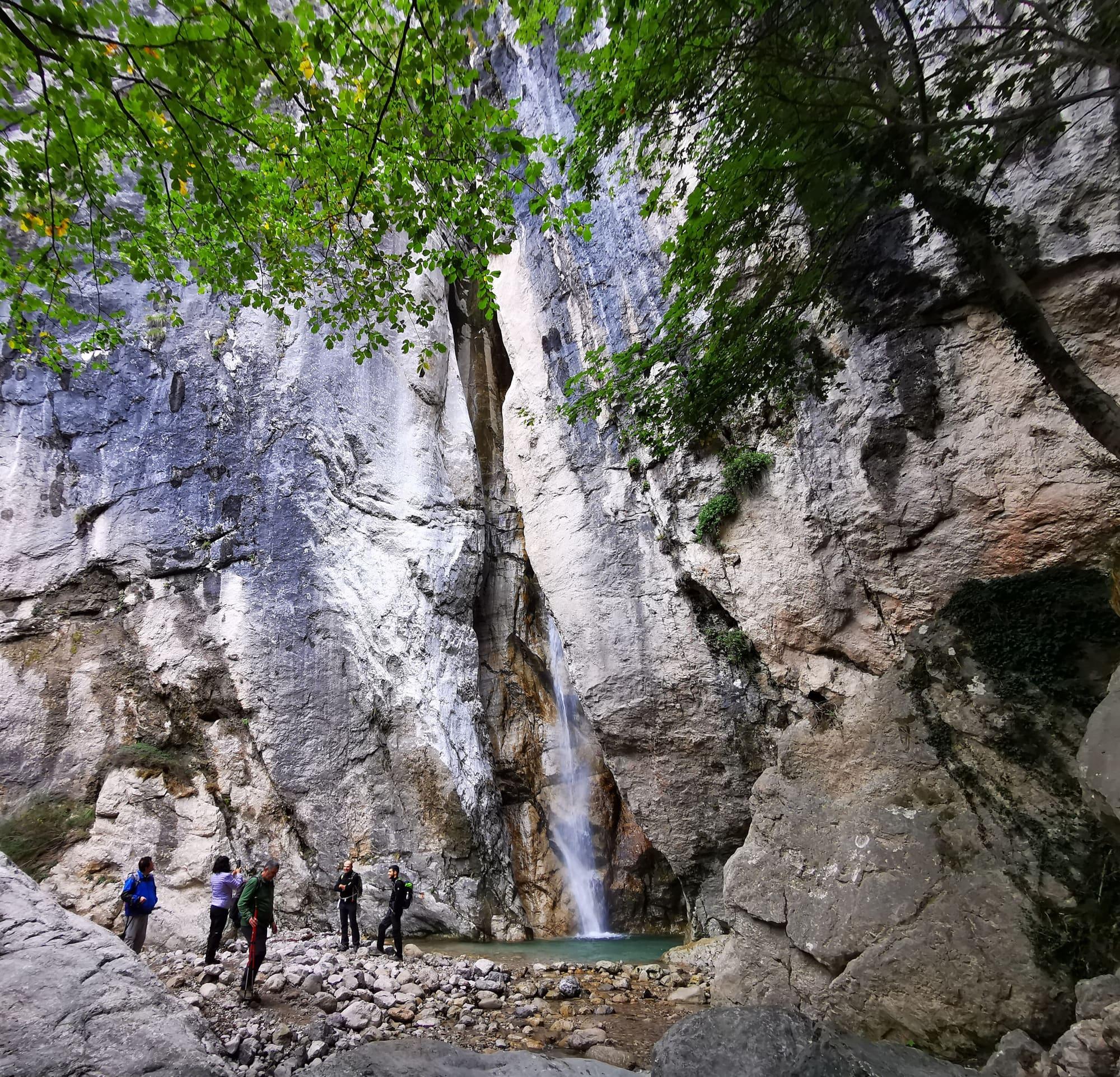
To the north lie the Piani Resinelli and the Grignetta, to the south the Corno Regismondo, the Corno Medale and San Martino, to the west the Pizzo Forcellino and the lake, to the east Ballabio and the Valsassina. It is often mistaken for neighbouring San Martino, which is in fact one of its outliers; its rock is mostly limestone, with a few rare erratic boulders of granite. The easiest way up starts from the Piani Resinelli and crosses the Parco Valentino, a wood of beech and ash, on a fairly wide and gently sloping path: in about half an hour you reach the cantilevered walkway built in 2021, hanging over the drop twelve metres up, with the view over Lecco and the Lecco branch of the lake; from there you carry on to the summit, where the view runs from the Valsassina to the lake.

  1. From the Piani Resinelli to the walkway the path is graded tourist (T): 180 metres of climb, half an hour. From the walkway to the summit it is another 200 metres and three quarters of an hour.
  2. There are two other ways up: the Spreafico path, which leaves the Rifugio Piazza near the little church of San Martino and, after a long traverse, climbs the Val Verde to come out on the Parco Valentino route a few metres below the summit; and the GER path, for experienced hikers, which starts just behind the top of the Corno Medale and ends with a section fitted with chains.
  3. The Piani are also the start of the path to the Forcellino, almost level, looking out over the Valbrona and the lake: 50 metres of climb, half an hour. From Lecco's Laorca district, the old Val Calolden path climbs to the Piani beside the stream, 800 metres of climb in two hours.
  4. The Piani Resinelli are reached from Ballabio by the road of fourteen hairpins; the main starting point is the large car park at the Piazzale delle Miniere. Even though the path is easy, wear hiking boots with non-slip soles and check the forecast before setting off, because the weather changes fast up high.

WhereAbbadia Lariana · Lecco

On the map

Explore the lake
LeccoAbbadia LarianaMonte Coltignone from the Piani Resinelli

© OpenStreetMap contributors · ODbL

Nearby: places, experiences, services

Sources and credits

Sources and credits