Skip to content

Centro Lago

Pizzo di Gino from San Nazzaro Val Cavargna

Duration
7 h – 9 h
Effort
Demanding
Access
Open to all
Car-free
Yes
With children
Not ideal
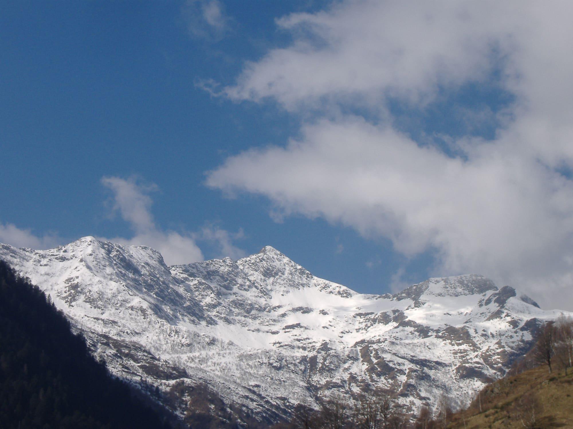
The snow-covered ridges of the Pizzo di Gino under a blue sky and big white clouds, a shaded wooded slope in the foreground.franco. Original uploader was Kibira at it.wikipedia · Public domain
  • Kaitu · CC BY-SA 4.0

1 / 2

The snow-covered ridges of the Pizzo di Gino under a blue sky and big white clouds, a shaded wooded slope in the foreground.

franco. Original uploader was Kibira at it.wikipedia · Public domain

How it works

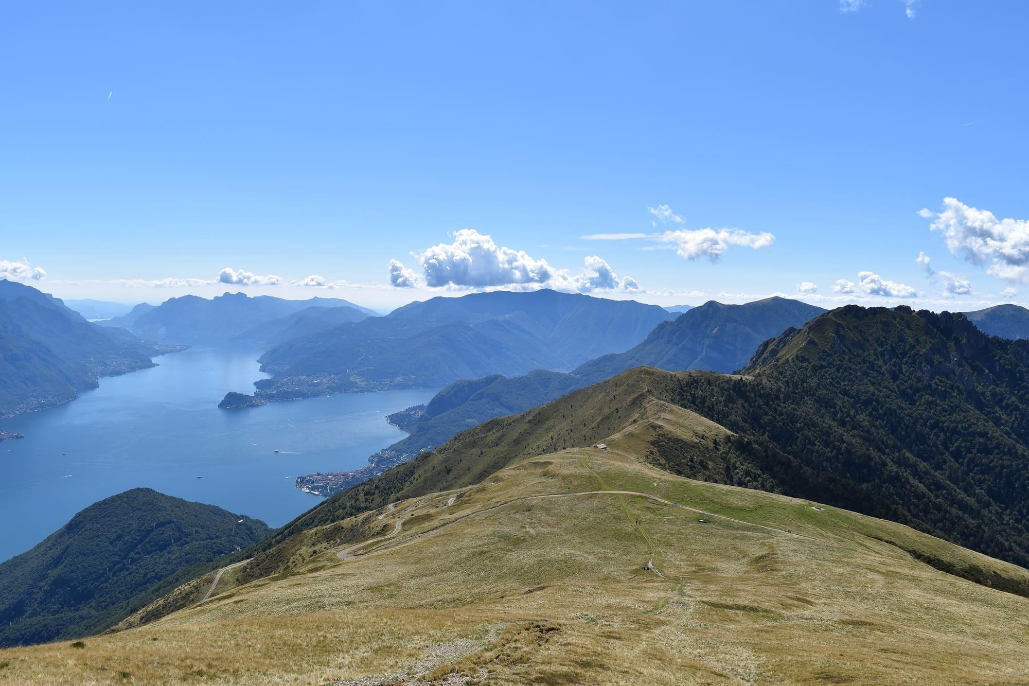
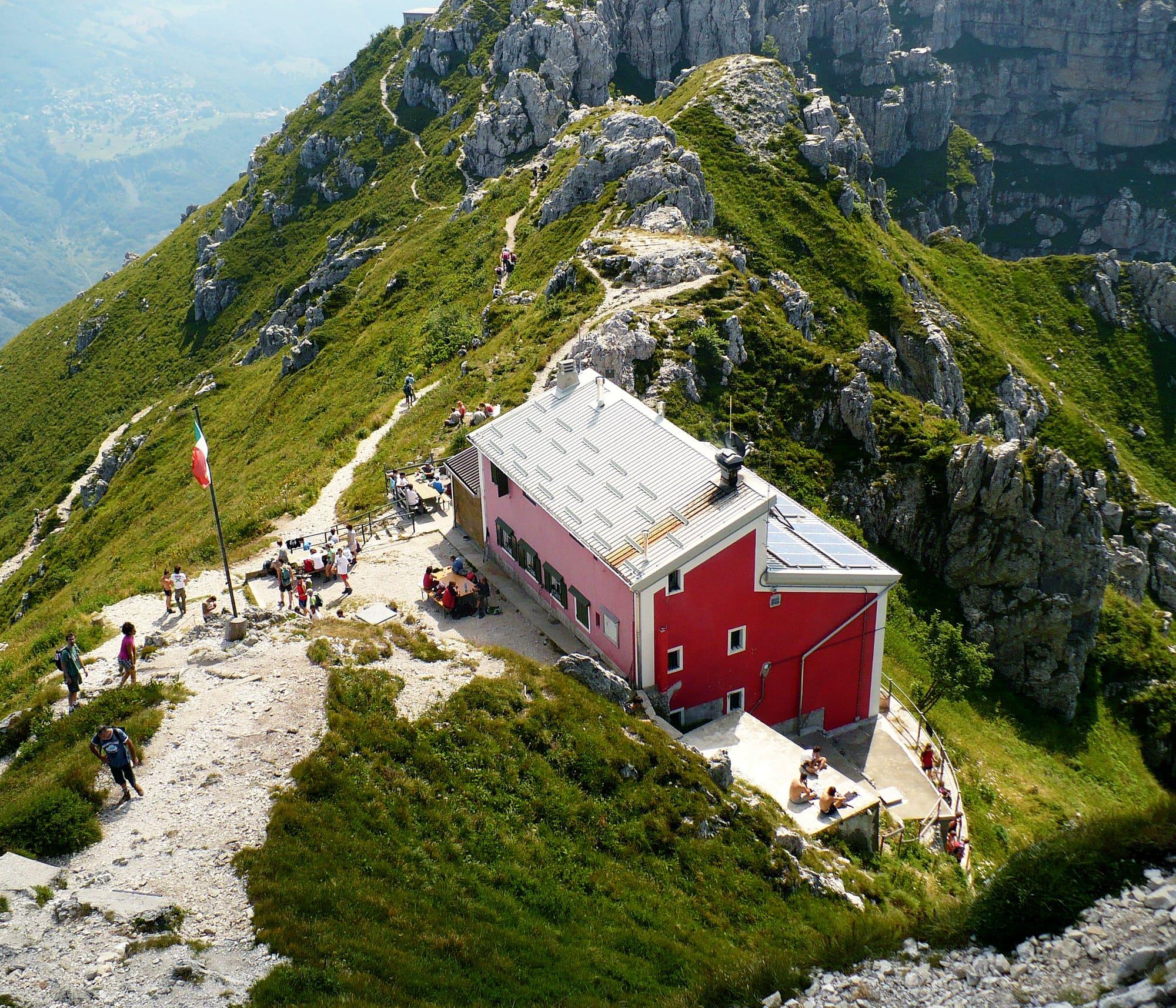
The Pizzo di Gino, also called Menone, is at 2245 metres the highest summit of the Lugano Prealps, between the Val Cavargna and the Valle Albano; on the top a small iron pillar marks a survey point of the Istituto Geografico Militare. On the Val Cavargna side you start at San Nazzaro, at 995 metres, from the bus stop by the parish church of Santi Nazzaro e Celso, which after several rebuildings keeps only its Romanesque bell tower from the old building, and go up Via Burena. From the hairpin a concrete road climbs above the water channel of the Canale quarter, then come Via Cos Pumbal, a flight of steps and, level with a hut, the old mule track that winds up through the woods to Tegnivo, an old mid-season pasture where the miners lived who worked the Tecchio and Val Caldera mines in the eighteenth century. Following the red waymarks, a well-marked mule track gains height to the row of wooden huts at Tecchio; from there a path through the pine wood and a few signed short cuts lead to the Rifugio Croce di Campo, at 1740 metres, passing below the Alpeggio Piazza Vacchera and the rocky pyramid of the Pizzo di Gino. From the hut you see a stretch of Lake Como with the Grigne, Monte Crocione, the Galbiga, the Sighignola, Cima Fiorina and the Garzirola; the summit is two hours higher, on a signed path.

  1. From San Nazzaro to the Rifugio Croce di Campo it is six and a half kilometres and 750 metres of climb, two and a half hours one way, on a path of intermediate difficulty: wear mountain boots. From the hut to the Pizzo di Gino it takes another two hours.
  2. The C114 Menaggio–Porlezza–Cavargna bus reaches San Nazzaro, and there are a few parking spaces by the parish church. A mountain road is open to cars as far as Tecchio; beyond it, up to the hut, it is for four-wheel-drive vehicles only, with a toll.
  3. From the north the summit can also be reached from the Passo del Giovo, at 1706 metres above Garzeno, along the head of the Valle Albano and past the Rifugio Sommafiume, where the last fountain is: 15.7 kilometres with 819 metres of climb, three and a quarter hours up and two and three quarter hours back. It is a difficult route, for June to October. Beyond the Bocchetta di Senavecchia the path has exposed stretches and passages where you need your hands; the right-hand trace, over the pastures of the south side, is more gradual than the direct route.
  4. The Passo del Giovo can be reached by car, but not in winter or with ice or snow.

WhereMenaggio · Dongo

On the map

Explore the lake
MenaggioDongoPizzo di Gino from San Nazzaro Val Cavargna

© OpenStreetMap contributors · ODbL

Nearby: places, experiences, services

Sources and credits

Sources and credits