Trails
The Alta Via del Lario
Over fifty kilometres in three stages along the ridge between the Lario and Switzerland, from San Bartolomeo above Gera Lario to the Rifugio Menaggio: for experienced hikers.
right here
Upper Lake
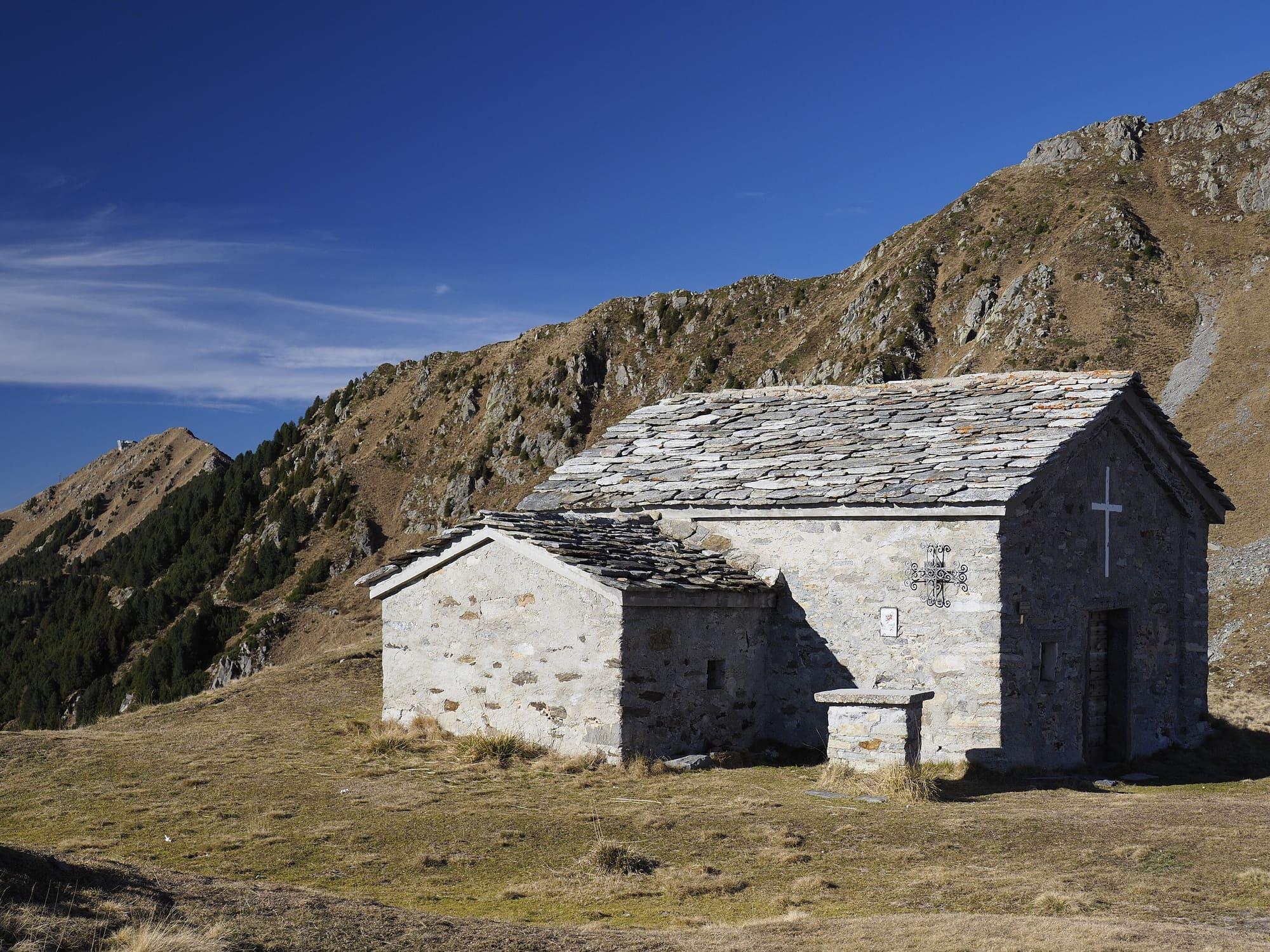
The 2014-metre pass between the upper lake and Switzerland, crossed since Roman times: along the old road through the Valle Albano and past the Giovo to the pass and the hermit's chapel, with views of the Alps, Lake Maggiore and Monte Rosa. From the Giovo another path leads to the Sommafiume tarns.
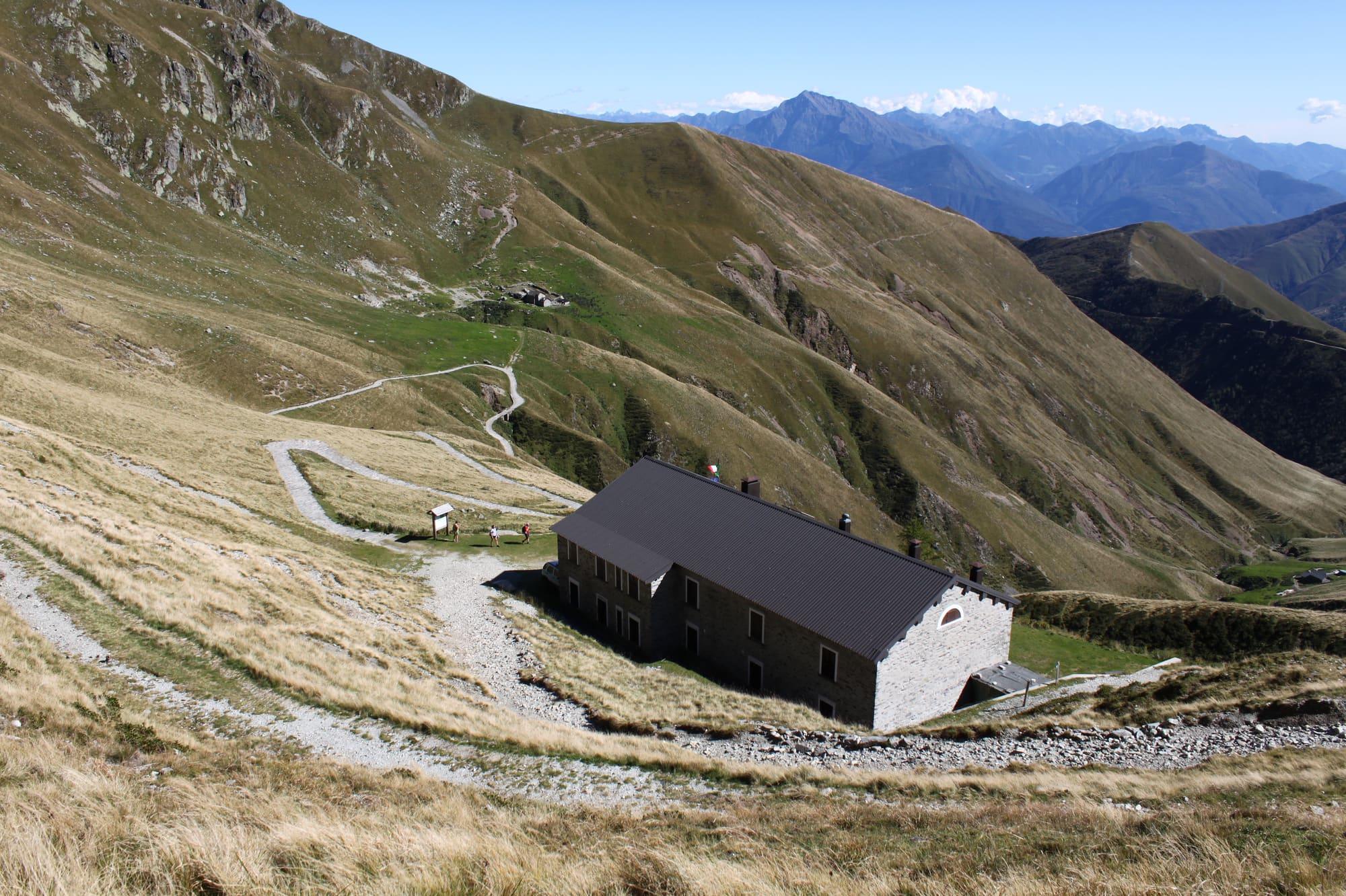
The San Jorio pass, at 2014 metres, has been crossed since Roman times and links the upper lake with the Val Morobbia on the Swiss side: for centuries the pass road was an important trade route towards continental Europe. Silk made in Como passed this way on its way to Germany, and iron from the Val Morobbia bound for the workshops of Dongo. From the Bocchetta di Germasino, also called di Sant'Anna, you walk along the main road, surfaced for eight hundred metres and then a dirt track, almost level along the wooded flank of the Valle Albano, an area rich in biodiversity. After about three kilometres you leave the turning for the Rifugio Mottafoiada on the right and carry on towards the Giovo, San Jorio and Sommafiume. The track climbs a few hairpins towards the crest of the Motto di Paraone, leaves the wood and, after about nine kilometres, reaches the grassy saddle between the Val Albano and the San Jorio valley, where the Rifugio Il Giovo stands at 1714 metres. From here you turn right and, between dirt and paved stretches and the panels of the Parco della Valle Albano, in about fifty minutes you come to the Rifugio San Jorio, at 1980 metres, a former customs guard barracks; a few steps above it is the pass. From the pass the view runs from the upper lake to the Valtellina, Lake Maggiore and the Swiss Alps, as far as Monte Rosa and the Matterhorn; nearby stands the little church of San Jorio, at 2040 metres, dedicated to the hermit who, by tradition, gave the pass its name. You return the same way.
WhereDongo · Gravedona ed Uniti
© OpenStreetMap contributors · ODbL