Trails
Refuges and ridges
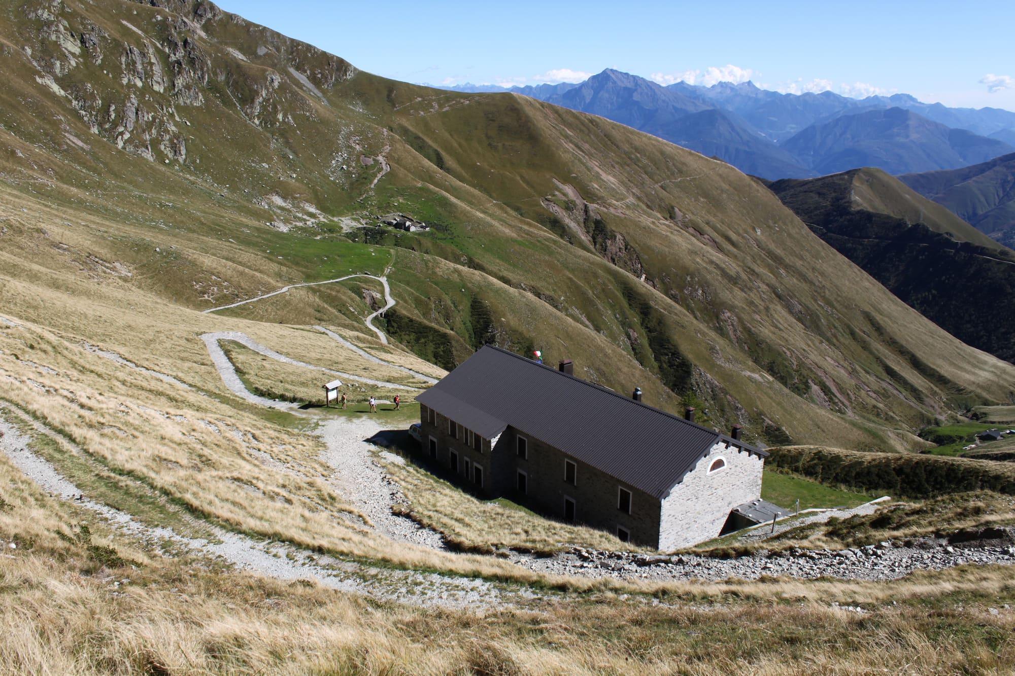
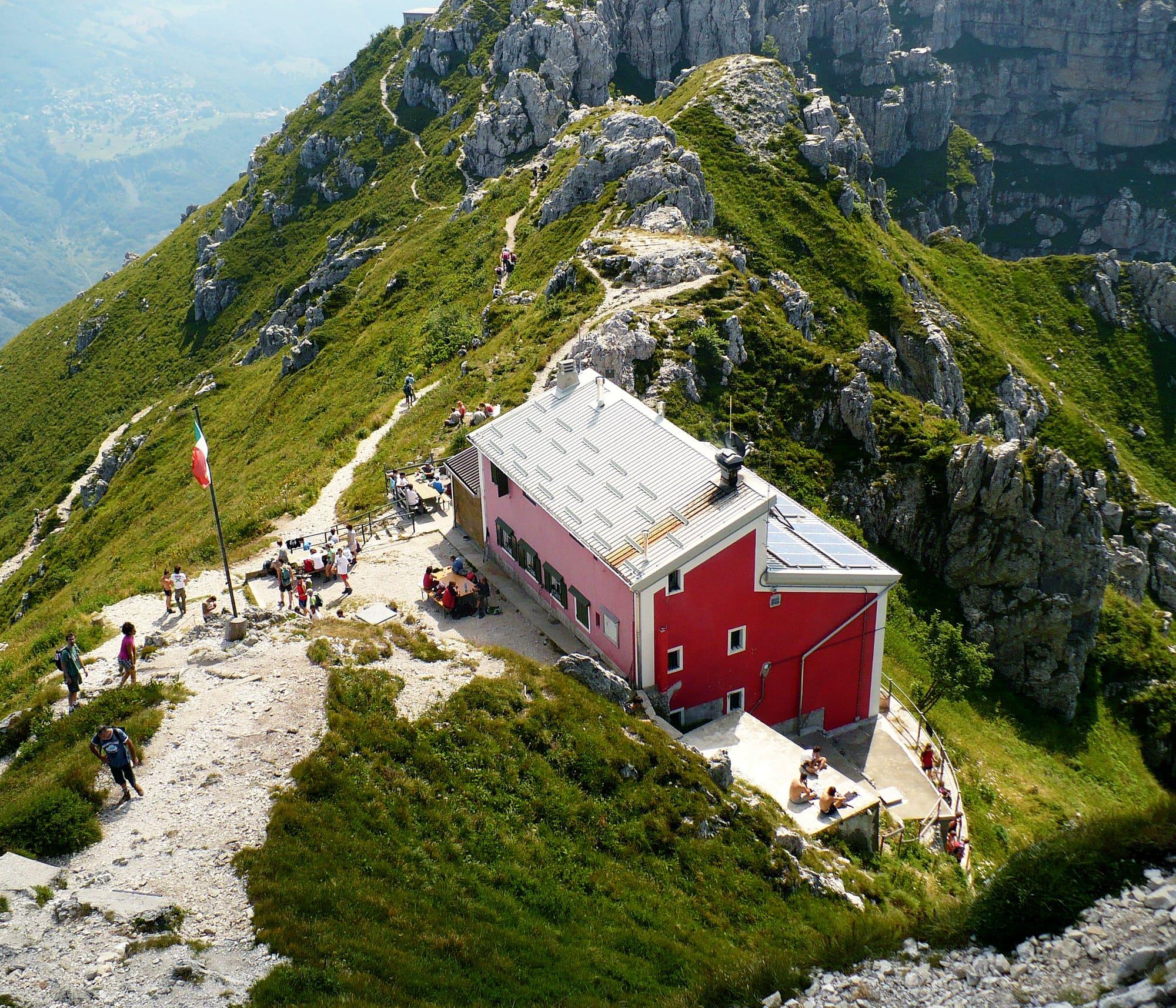
Refuges that cook, above the lake: the Rifugio Menaggio, at 1,383 metres, is an hour and three quarters' walk from Breglia.
13 km
Upper Lake
Over fifty kilometres in three stages along the ridge between the Lario and Switzerland, from San Bartolomeo above Gera Lario to the Rifugio Menaggio: for experienced hikers.
The Alta Via del Lario runs along the ridge that divides the Como side from the Swiss side, above the upper west shore, partly following the paths that once linked the old summer pastures.
It is more than fifty kilometres in three stages: from San Bartolomeo, above Gera Lario, over the Sasso Canale and the Pizzo di Ledù to the Capanna Como; from the Capanna Como, crossing into Switzerland for a stretch, to the San Jorio pass; and from there along the head of the Valle Albano and over the Bregagno to the Rifugio Menaggio. The grade is EE, for experienced and fit hikers. Apart from the two equipped sections on the Ledù and at the Schena de Mogn there are no climbing difficulties; the route is marked with signposts and white-and-red blazes.
WhereDomaso · Gravedona ed Uniti · Menaggio · Gera Lario
© OpenStreetMap contributors · ODbL