Skip to content

Upper Lake

Sasso Canale from San Bartolomeo

The 2411-metre summit above the upper lake, the Valchiavenna and the Valtellina: from San Bartolomeo by the Alpe di Mezzo, the Terminone ridge and the crest beyond the Sasso Bianco, a long and difficult climb.

Duration
5 h 30 – 7 h
Effort
Demanding
Access
Open to all
Car-free
Needs a car
With children
Not ideal
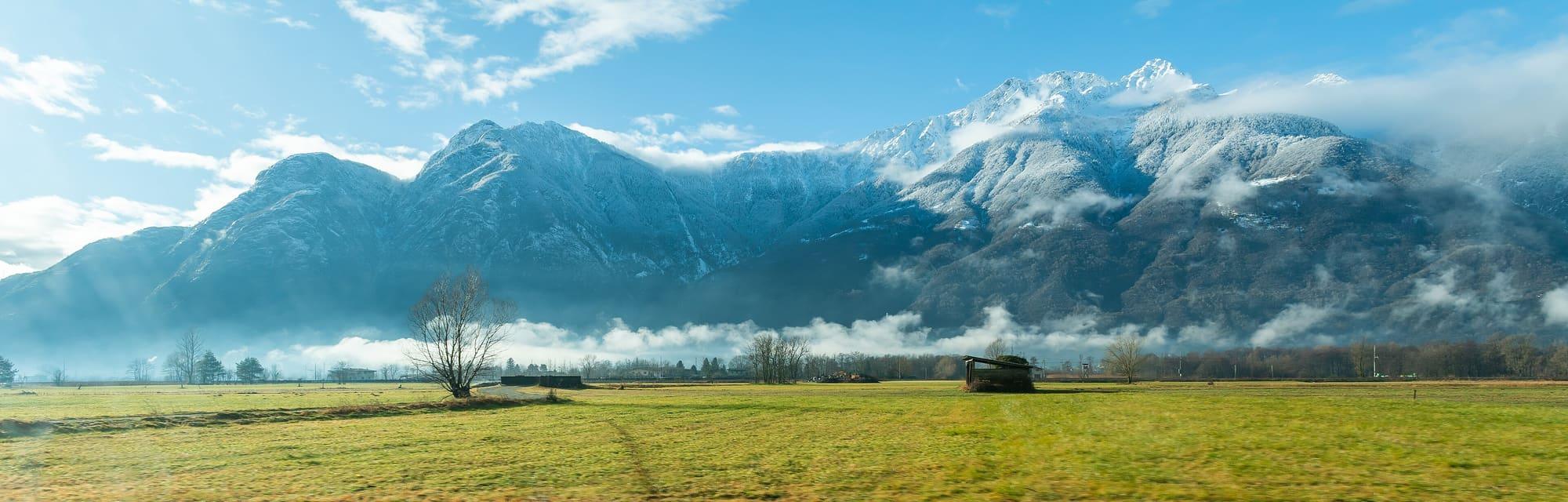
The snow-covered Sasso Canale, centre right, with the other summits of the range above the Novate Mezzola plain; low cloud over the woods and a meadow in the foreground.Tournasol7 · CC BY 4.0

How it works

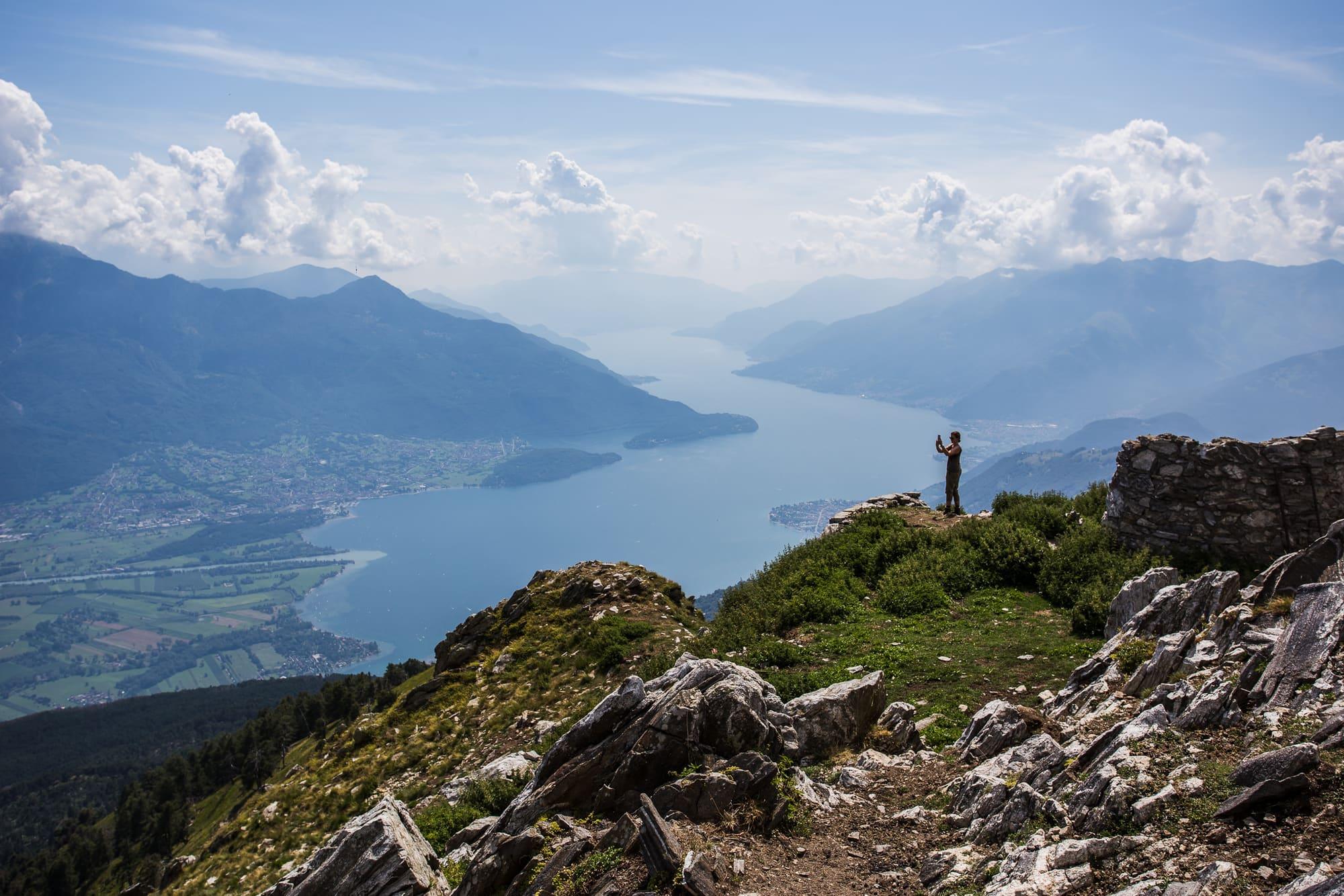
The Sasso Canale, 2411 metres, is a summit standing over Lake Como, the Valchiavenna and the Valtellina, in wild and solitary country.

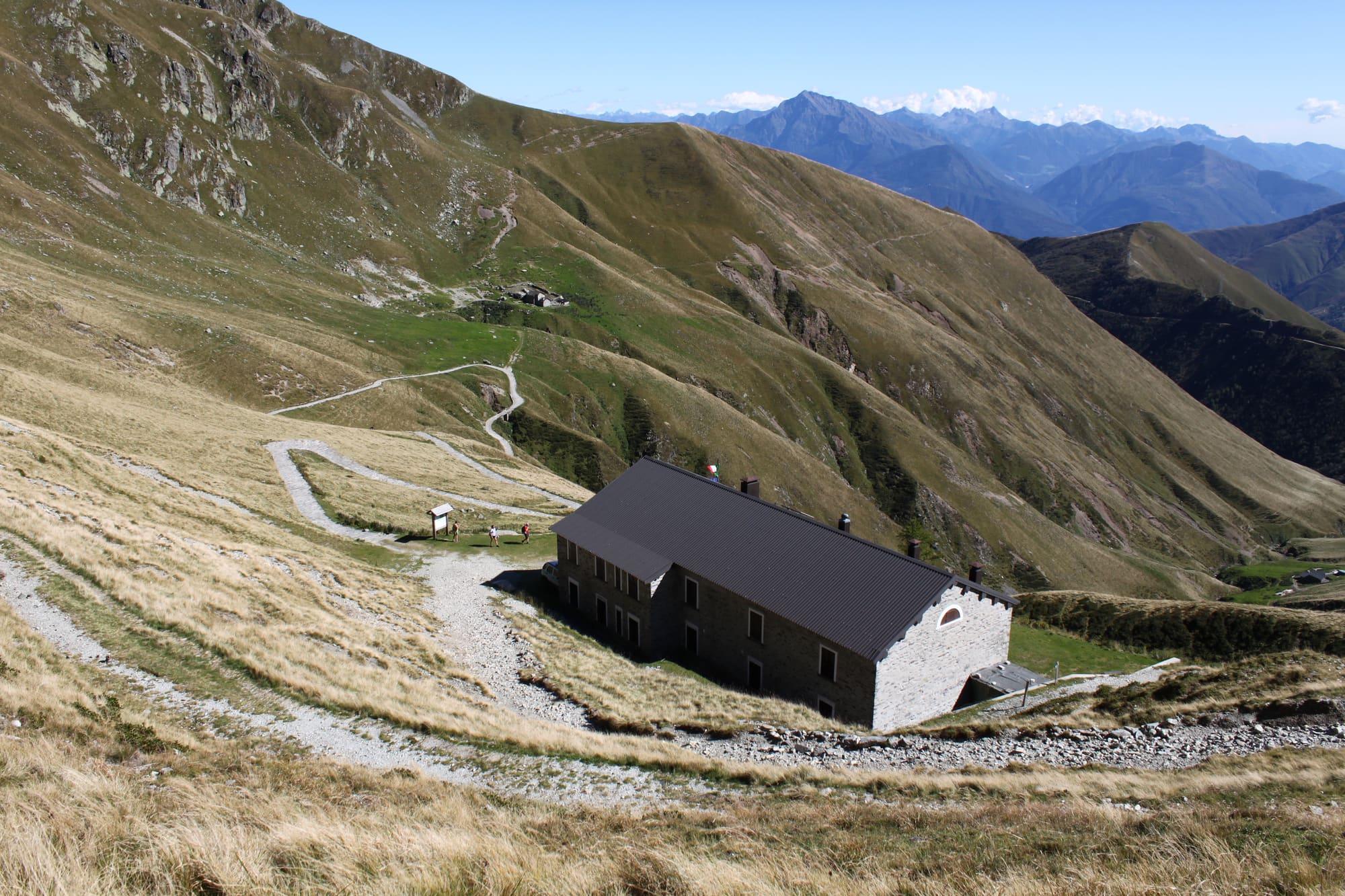
You set off as for Monte Berlinghera: behind the church of San Bartolomeo you take the path signed for the Sasso Canale and the Alta Via Lariana, through a wood of fir, beech and oak, to a dirt road you follow to a junction, then keep left with the waymarks. Out of the wood you meet the dirt road again near the Alpe Pescedo, at 1560 metres, but turn left for the Alpe di Mezzo, at 1540. Behind the huts a steep path climbs; you follow the ridge on its southern side to the cairn at the top of the Terminone, a very long wall that divided the private pasture of the Alpe di Mezzo from the common ones of Montemezzo. After an easy rocky stretch you climb diagonally across a slope of scree and then up a steep gully, a few steps from the foresummit, the Sasso Bianco, at 2396 metres. To the left of the foresummit, along a fairly exposed crest, you reach the top, with views over the Lario, the Valchiavenna, the lower Valtellina and the Mesolcina range. You return the same way, or from the Terminone cairn you go down through the pastures and by a small path on the steep spur to the Bocchetta di Chiaro, and from there to Pescedo: a variant more demanding than the way up.

  1. Twelve and a half kilometres and 1210 metres of climb to the 2411-metre summit, three and a half hours up and two and a half down, on path and waymarked track. It is a difficult route, for June to October; check the weather forecast before setting off.
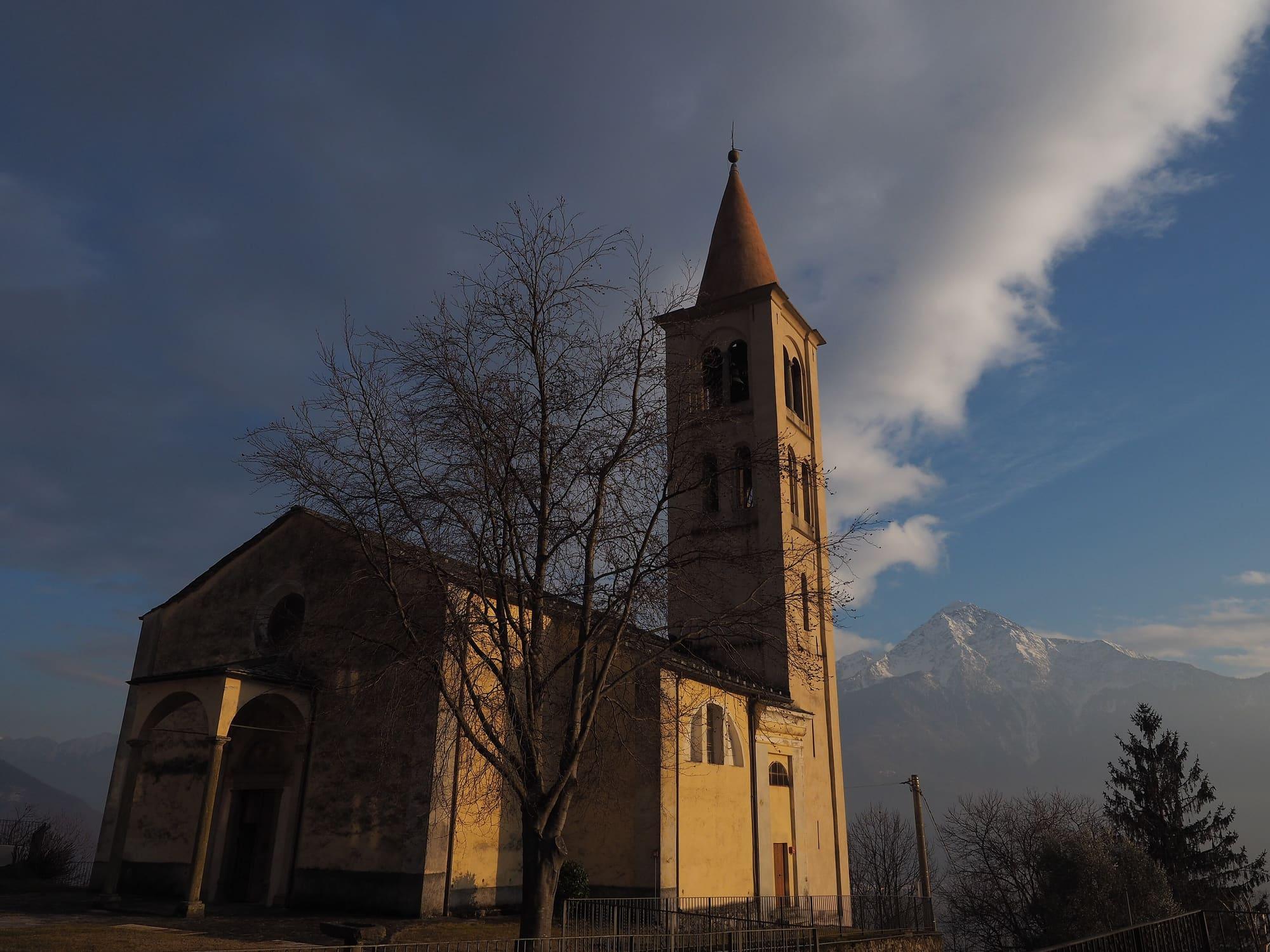
  2. San Bartolomeo is reached by car from Gera Lario: turn before the bridge over the San Vincenzo stream (after the bridge if you come from Domaso) following the signs for Bugiallo; after about three kilometres, at the fork, right on the narrow but surfaced road, twelve kilometres in all from Gera Lario. You park by the church.
  3. There are no huts or refreshment points along the route; on the road, before San Bartolomeo, there are an agriturismo and a mountain house.
  4. The same path, between the Alpe di Mezzo and the Alpe Pescedo, also leads up Monte Berlinghera, 1930 metres, a shorter walk.

WhereGera Lario · Sorico

On the map

Explore the lake
SoricoGera LarioSasso Canale from San Bartolomeo

© OpenStreetMap contributors · ODbL

Nearby: places, experiences, services

Sources and credits

Sources and credits