


17Sept 2027
Upper Lake
Gera Lario
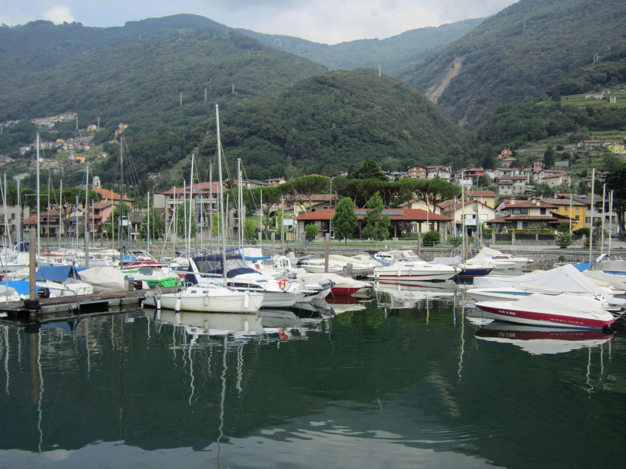
At the mouth of the Mera, below the Sasso Canale: the marina and lido of the wind, San Vincenzo on the remains of a Roman villa and the lighthouse of the 1951 flood.
- Ideal for
- Sailing, windsurfing and kiting on the Breva, the cycle path, San Vincenzo
- Time needed
- Half a day; a whole day on the water
- Best season
- May to September for the wind; spring and autumn for walking
- What to see
- The cypress avenue of San Vincenzo
- Best reached by
- C110 bus from Colico or Menaggio; by bike or on foot on the cycle path from Domaso
- BKLuis · CC BY-SA 4.0
- Ottantafame · CC BY-SA 4.0
The place
Gera Lario lies at the northernmost end of the western shore, at the mouth of the Mera and at the foot of the Pizzo Sasso Canale.
Windsurfing, kitesurfing and sailing take place on the lake, with a marina and lido on the shore. The village was founded in Roman times near the ancient Olonio, as some finds show; it later shared the fortunes of the Republic of the Tre Pievi and served as a base for the Spanish troops against the Grisons in Valtellina, until in 1620 it won its autonomy. Its churches are San Vincenzo, built between the eleventh and twelfth centuries on the remains of a Roman villa, and Nostra Signora di Fatima, from 1634, on the square; along the streets stand wayside shrines, and on the fronts of the oldest houses there are frescoes of the sixteenth and seventeenth centuries. At the entrance to the harbour stands the votive lighthouse of 1957, in memory of the 1951 flood, which claimed seventeen lives and devastated the village.
Gera Lario lies at the northernmost end of the western shore, at the mouth of the Mera and at the foot of the Pizzo Sasso Canale.
Read on
Windsurfing, kitesurfing and sailing take place on the lake, with a marina and lido on the shore. The village was founded in Roman times near the ancient Olonio, as some finds show; it later shared the fortunes of the Republic of the Tre Pievi and served as a base for the Spanish troops against the Grisons in Valtellina, until in 1620 it won its autonomy. Its churches are San Vincenzo, built between the eleventh and twelfth centuries on the remains of a Roman villa, and Nostra Signora di Fatima, from 1634, on the square; along the streets stand wayside shrines, and on the fronts of the oldest houses there are frescoes of the sixteenth and seventeenth centuries. At the entrance to the harbour stands the votive lighthouse of 1957, in memory of the 1951 flood, which claimed seventeen lives and devastated the village.
The wind and the shore
Up here the Breva blows, the wind that runs up the lake from south to north, and Gera Lario, with its marina and lido, is one of the lake's places for sailing, windsurfing and kitesurfing. On the shore, less than a kilometre from the village, lie two of the lake's official bathing points, Pontile and Spiaggia Acquaforte, and the class of their water is assigned at the end of each season from the official sampling.
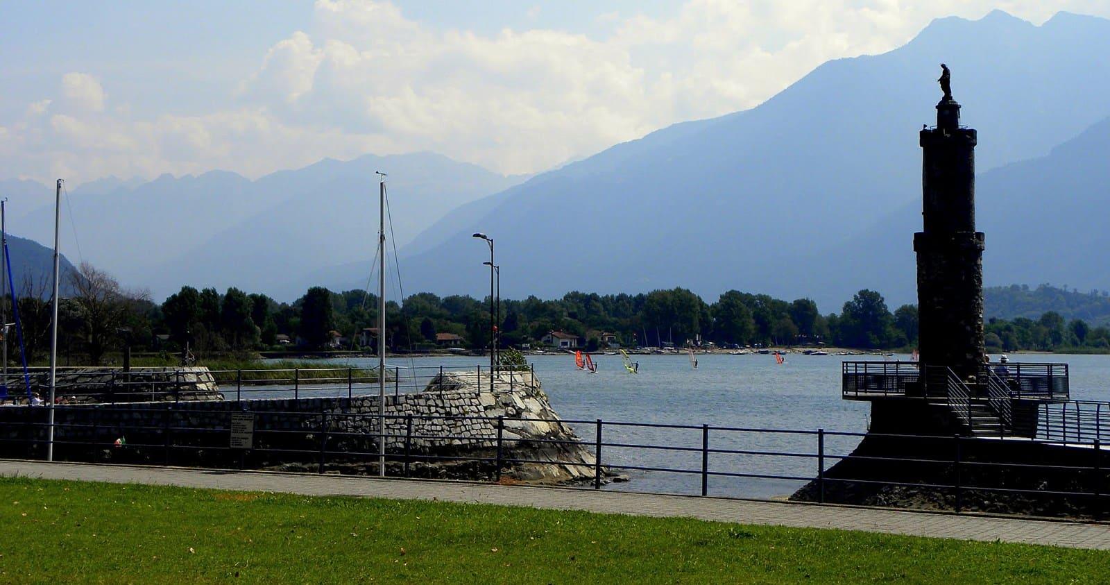
The village is also a starting point for walking and cycling: the cycle and footpath follows the shore to Domaso on one side and runs along the Mera towards Sorico on the other, and the paths lead into the Pian di Spagna nature reserve too. At the harbour entrance the votive lighthouse of 1957 recalls the 1951 flood.
San Vincenzo and the Tre Pievi
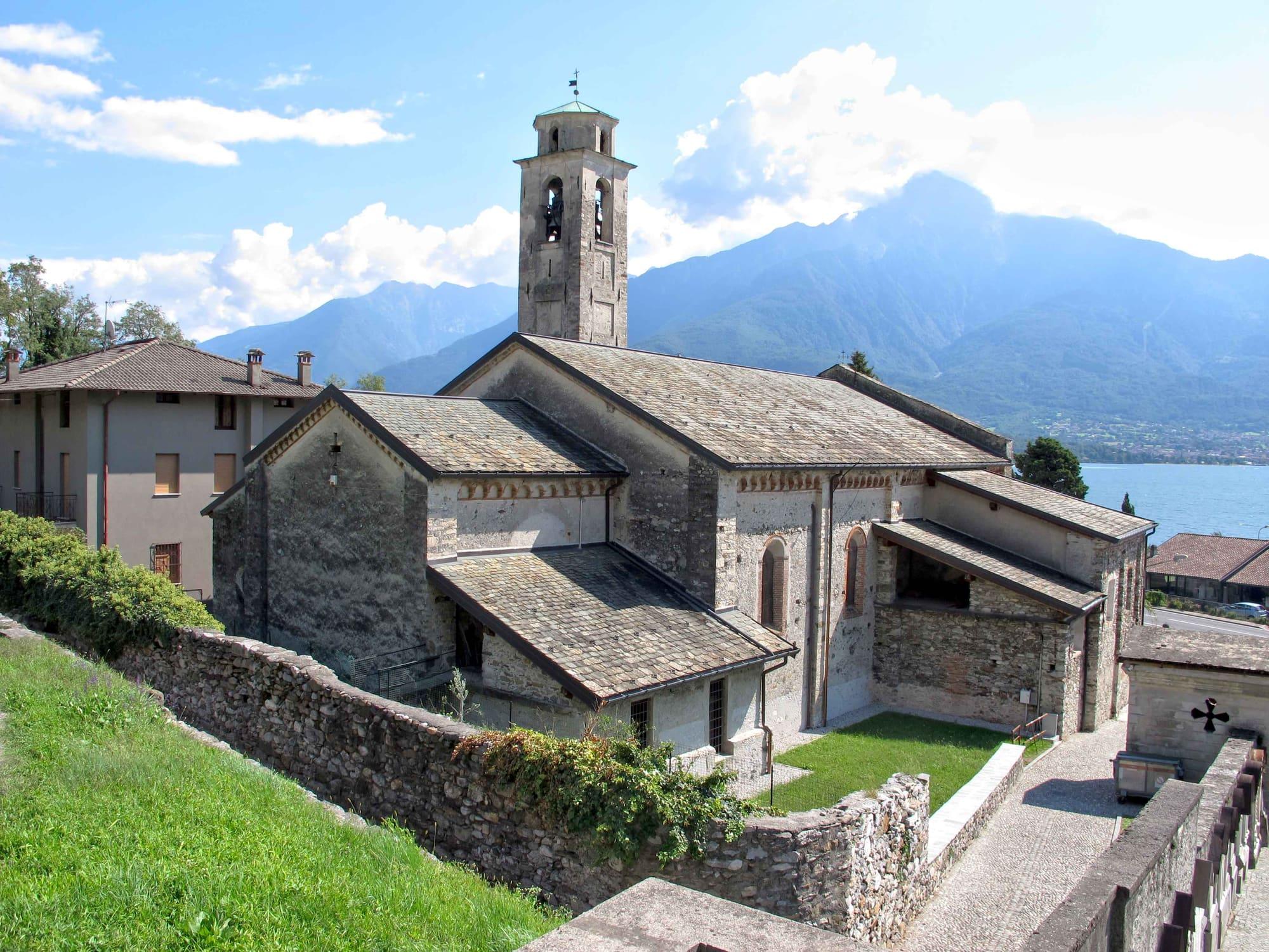
San Vincenzo stands beside the stream at the end of an avenue of cypresses: a Romanesque church built between the eleventh and twelfth centuries on the site of a Roman villa and rebuilt in the fifteenth, with a presbytery frescoed in 1546 and a polyptych of 1547. The easy Via Regina di Vercana loop starts here, nine and a half kilometres between the shore, Domaso and the old stretches of the road towards Trezzone.
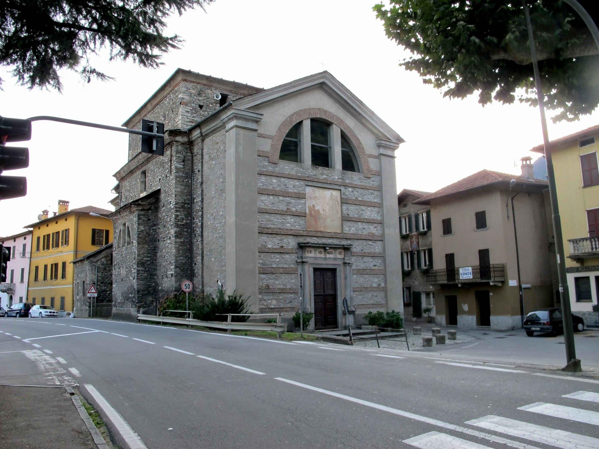
The village belonged to the Tre Pievi with Gravedona, Dongo and Sorico and served as a base for the Spanish troops in the wars against the Grisons. On the square stands the church of Nostra Signora di Fatima, built between 1614 and 1634 and restored after the 1951 flood; above the village, from San Bartolomeo, the Alta Via del Lario and the climb to Monte Berlinghera begin.
From the Romans to the twentieth century
A Roman necropolis has been found at Sant'Agata. In a farmhouse in the village an architrave came to light with a dedication to Jupiter carved by the Aneuniates, a people of the upper lake; it is kept in the Museo archeologico Paolo Giovio in Como. The Via Regina, the road that climbed from Como to Chiavenna and the Alpine passes, ran through Gera.
In the Middle Ages San Vincenzo, first recorded in 1176, depended on the pieve, whose seat was first at Olonio and then at Sorico. In 1482 the comune of Gera asked for the church to be separated from Sorico, and at the end of the sixteenth century San Vincenzo became a parish. In 1807, under Napoleon, Gera absorbed the municipalities of Sorico, Montemezzo and Trezzone, but the Restoration undid the union. In 1929 the comune took the name Gera Lario. On 8 August 1951 a flow of mud and boulders came down the San Vincenzo stream and swept through the village.
Boatmen and fishermen
Both of the village's churches were decorated partly with money from those who worked on the lake. In 1546 and 1547 Gera's Società dei Naviganti, its boatmen's society, had the chancel of San Vincenzo frescoed. The frescoes are attributed to the workshops of Ambrogio Arcimboldi and Sigismondo De Magistris, the altar polyptych to Arcimboldi and his workshop.
The church on the square is tied to the lake as well: the fishermen paid for part of the chancel paintings, finished in 1725, and since 1962, the year it was reconsecrated, the church has been the Santuario dei Pescatori, the fishermen's sanctuary. The village celebrates its patron saint, Vincent, on 22 January.
Events
See allThings to see
Experiences
Upper Lake
Wind and board on the upper lake
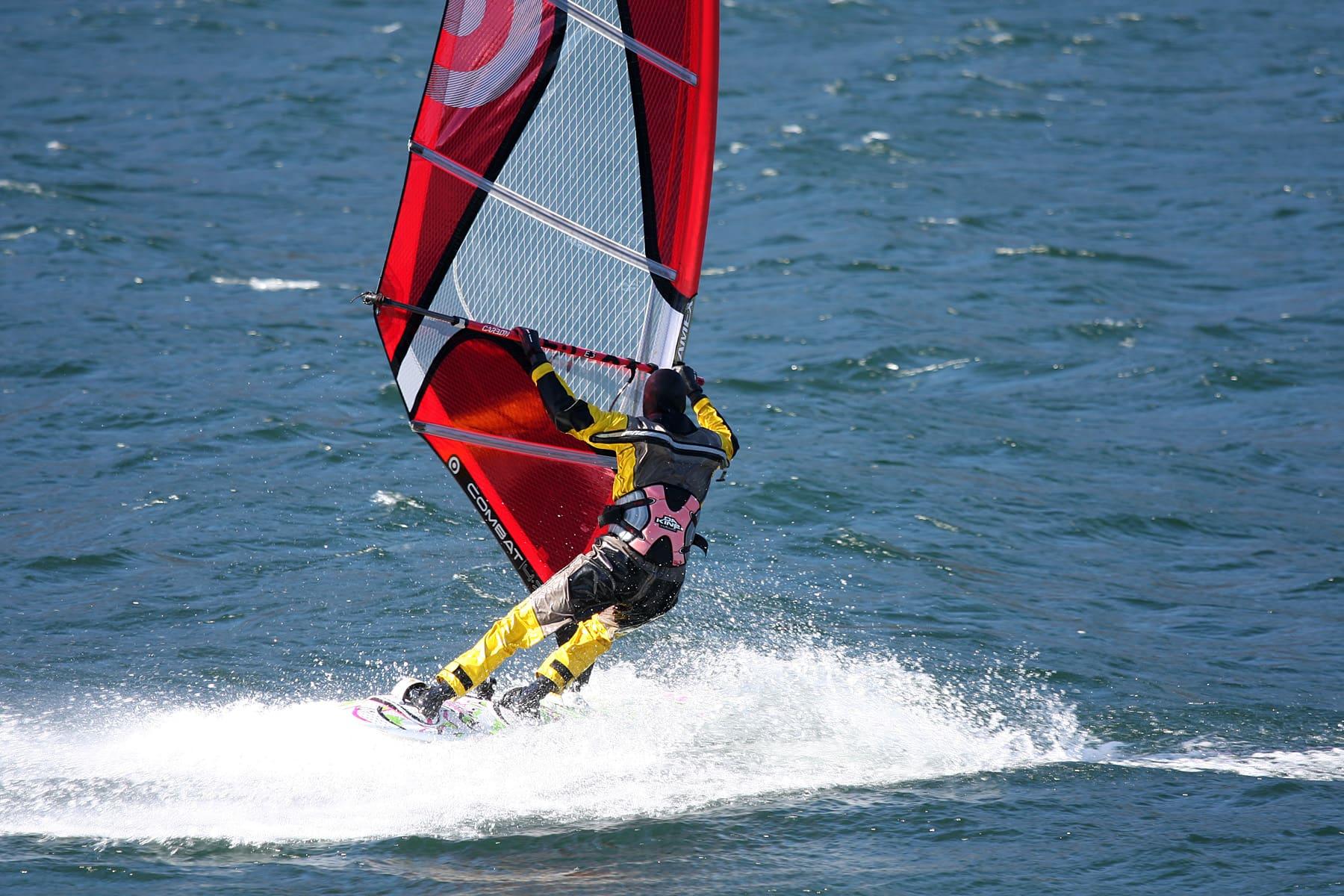
Windsurfing, kitesurfing and sailing on the upper lake, where the Breva can strengthen in settled weather.
3 h – 5 hCar needed
Upper Lake
The Alta Via del Lario
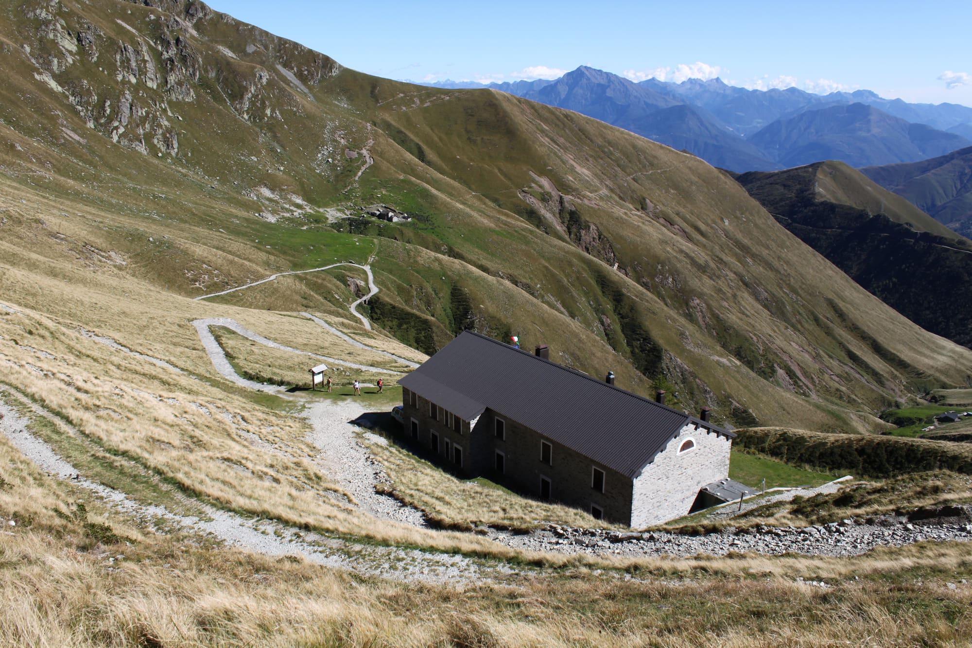
Over fifty kilometres in three stages along the ridge between the Lario and Switzerland, from San Bartolomeo above Gera Lario to the Rifugio Menaggio: for experienced hikers.
8 h – 9 h 20Car neededOpen access
Upper Lake
Along the Via Regina, from Gera to Vercana
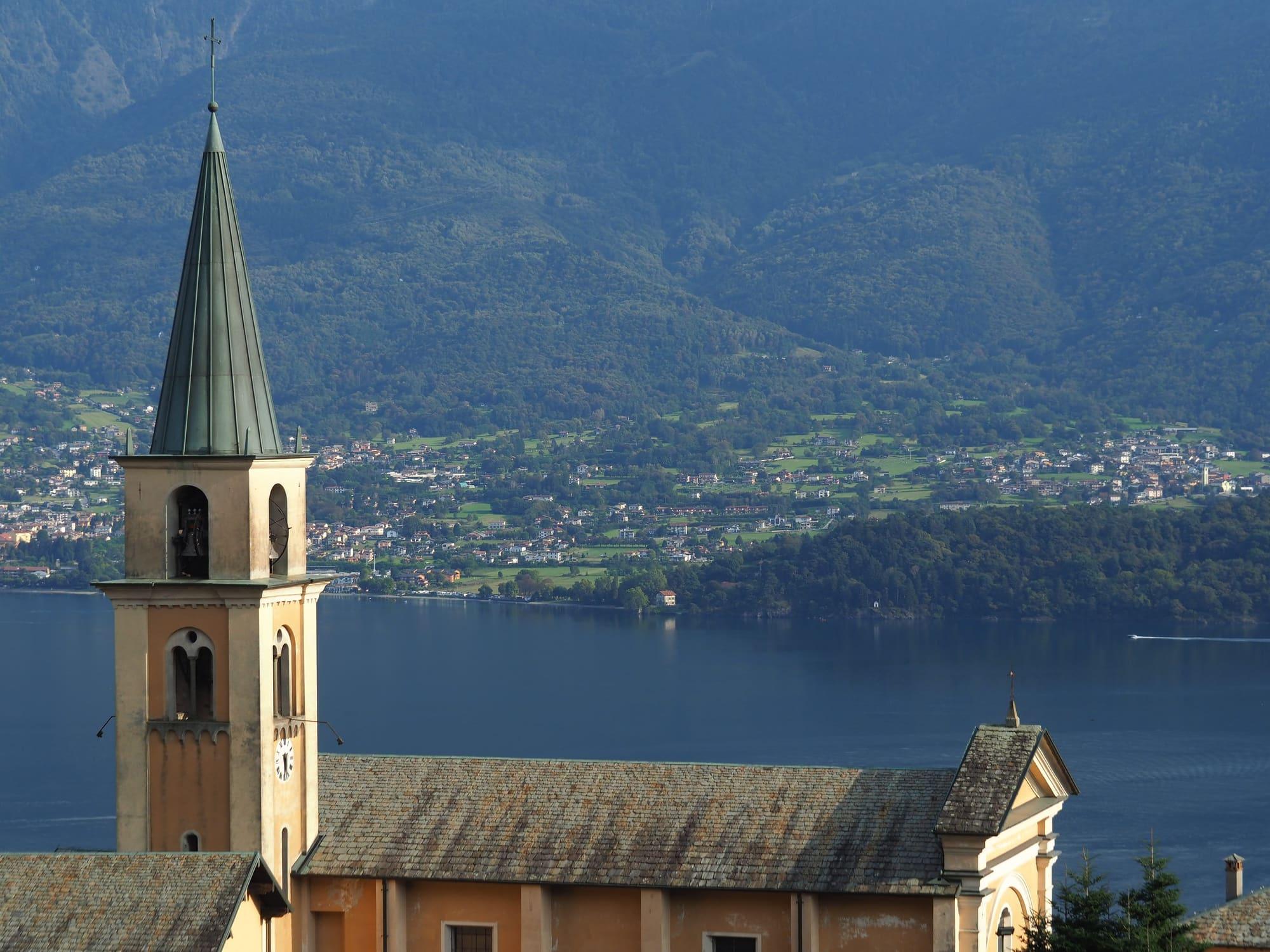
An easy nine-and-a-half-kilometre loop from San Vincenzo at Gera Lario: the shore to Domaso, then old stretches of the Via Regina between Vercana and Trezzone, five churches and villages that kept their old look.
3 h – 4 hOpen access
Upper Lake
Sasso Canale from San Bartolomeo
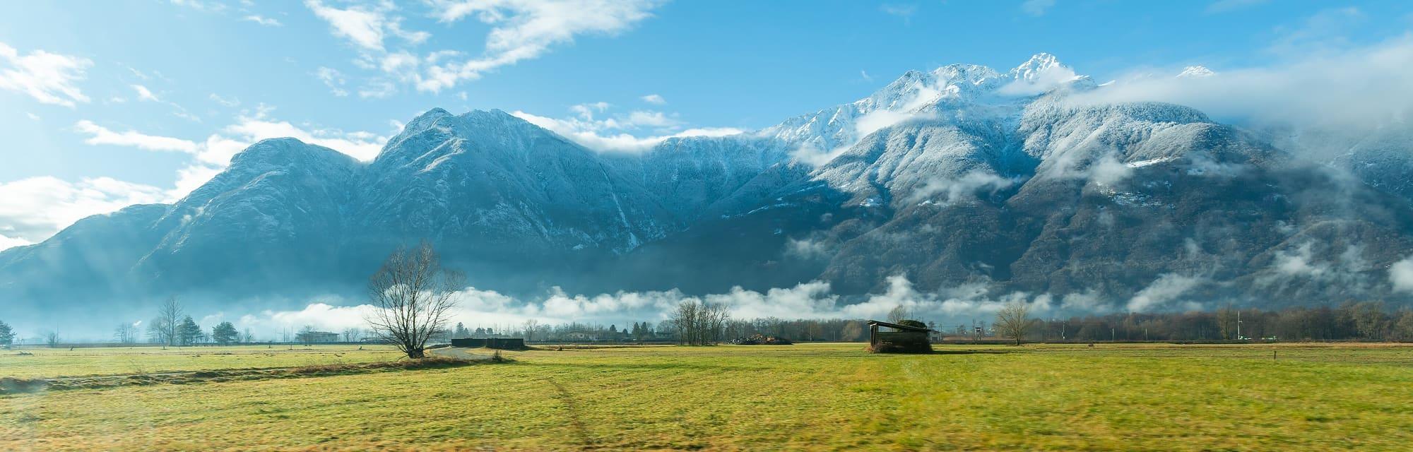
The 2411-metre summit above the upper lake, the Valchiavenna and the Valtellina: from San Bartolomeo by the Alpe di Mezzo, the Terminone ridge and the crest beyond the Sasso Bianco, a long and difficult climb.
5 h 30 – 7 hCar neededOpen access
Events
Before you go
How long it takes
- from Milan1 h 45Train, then bus
- from Como1 h 35Bus · by car 1 h 35
- from Lecco1 h 15Train, then bus · by car 1 h
Typical door-to-door times by public transport, changes included. From Milan, counted from Centrale station.
Webcams
- Rifugio Dalco, above Gera and SoricoUpdated image · Rifugio Dalco, su Rifugi di Lombardia
- Area
- The Upper Lake
- Population
- 1,070
- Elevation
- 201 m
Updated 26 October 2026
How do I get to Gera Lario?
On ASF Autolinee's C110 bus, the western-shore line between Como, Menaggio and Colico, which stops in the village at Cinque Case, at the parish church and on the Statale Regina, a few minutes from Domaso and from Sorico. The line boats do not call at Gera: the nearest piers are Domaso and Colico. The lakeside cycle and footpath comes in from Domaso and carries on along the Mera towards Sorico.
What is the lighthouse at the harbour entrance?
It is the votive lighthouse raised in 1957 in memory of the 1951 flood, which claimed seventeen lives and devastated the whole village. The church of Nostra Signora di Fatima, on the square, was also restored after that flood.
The mountains around the village hide the sun before astronomical sunset: sunrise and sunset are worked out on the village's own horizon.
Today, 1 November, estimated sunlight at the reference point: first at 07:35 and last at 16:21, giving 8 h 47 of direct sun, out of 10 h 05 of daylight.
JuneDecembertoday
Watch the shadow reach Gera Lario today
See from Gera Lario where the sun goes, in 3D
The sun at an exact spot in Gera Lario: your hotel, a beach, a street
The highest summit in view from here is Cima del Desénigo, 2845 m, 15 kilometres away.
- Cima del Desénigo, 2845 m, 15 km
- Monte Brusada, 2144 m, 10 km
- Monte Foffricio, 1258 m, 7 km
- Monte Seleron, 2519 m, 29 km
- Monte Lago, 2353 m, 23 km
- Monte Olano, 1718 m, 14 km
- Pizzo Olano, 2267 m, 13 km
- Monte Stavello di Pedesina, 2417 m, 14 km
- Monte Pim Pum, 2349 m, 12 km
- Monte Colombano, 2008 m, 8 km
- Monte Legnone, 2609 m, 9 km
- Monte Legnoncino, 1711 m, 9 km
- Monte Colmegnone, 1378 m, 37 km
- Monte di Tremezzo, 1699 m, 24 km
- Monte Bregagnino, 1905 m, 15 km
- Monte Bregagno, 2107 m, 14 km
- Monte Marnotto, 2088 m, 15 km
- Monte Tabor, 2080 m, 16 km
- Cima Pianchette, 2167 m, 18 km
- La Motta, 1283 m, 3 km
The ochre line follows today's sun path and marks the estimated times of its first and last appearance above the mountains. Drag the panorama to see all of it.
How it is drawn
Paler ridges are farther away; heights are stretched two and a half times. Houses are not drawn, nor are trees within half a kilometre. Terrain © Regione Lombardia (CC BY 4.0); summits © OpenStreetMap contributors.
Official bathing sites nearby, with their water quality classifications.
- Pontile0.5 kmExcellent · for 11 seasons · in July, sun estimated until 19:21 at the marked point3D — see from the beach at Pontile where the sun goes
- Spiaggia Acquaforte0.7 kmExcellent · for 7 seasons · in July, sun estimated until 19:01 at the marked point3D — see from the beach at Spiaggia Acquaforte where the sun goes
Can you sail and windsurf at Gera Lario?
Yes, the shore has a marina and lido, and sailing, windsurfing and kitesurfing take place on the lake. The Breva blows regularly from the south in anticyclonic conditions, but the wind is not constant. Before setting out, check the forecast, conditions on the spot and rules for water access areas.
On the map
What is around, and how far.
© OpenStreetMap contributors · ODbL
Nearby
Typical door-to-door times.
Sorico
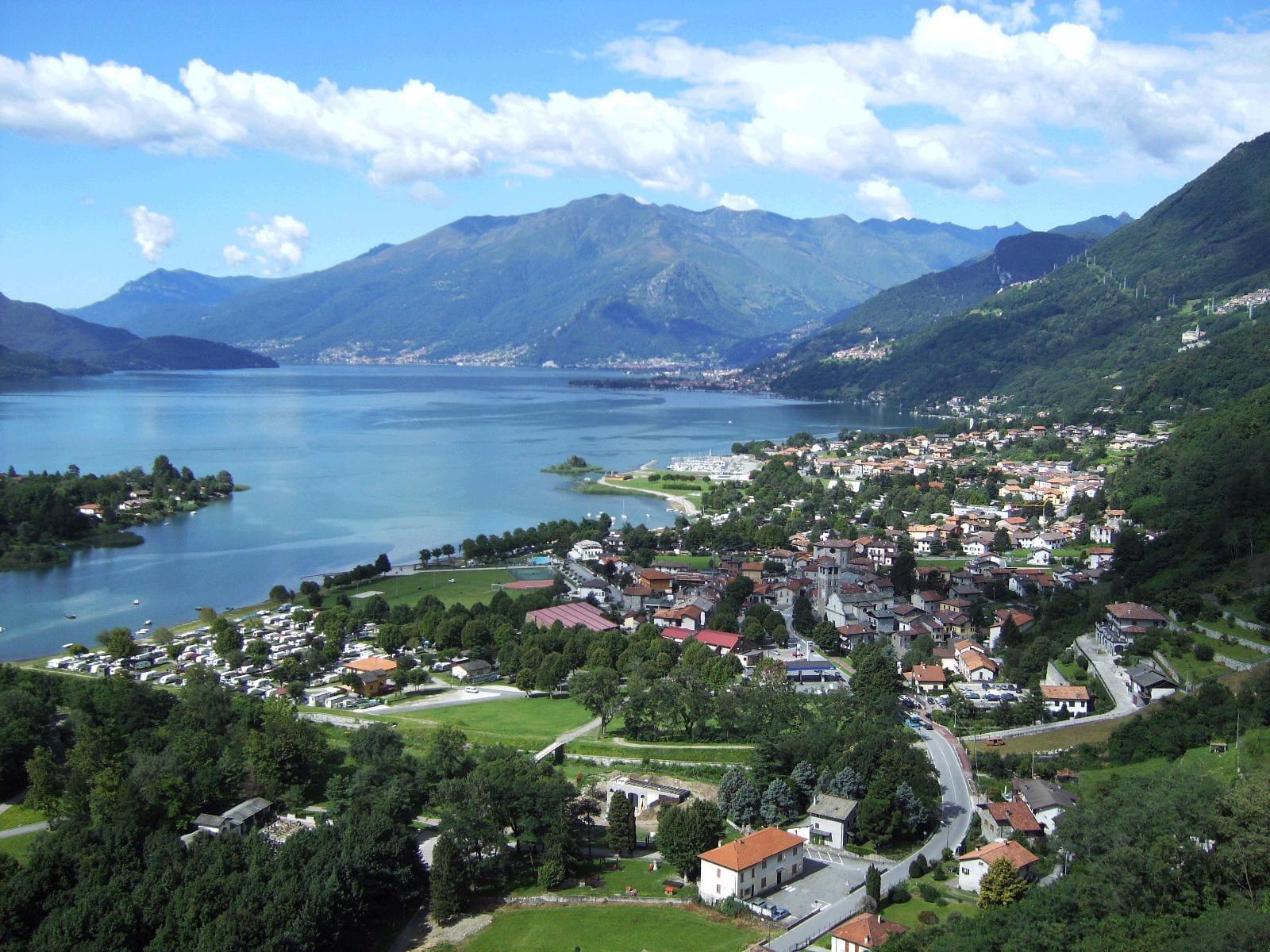
The last village on the lake, where the Mera flows into it: a village of the Tre Pievi below San Miro, with Dascio on the water and the Pian di Spagna reserve.
3 min
Domaso
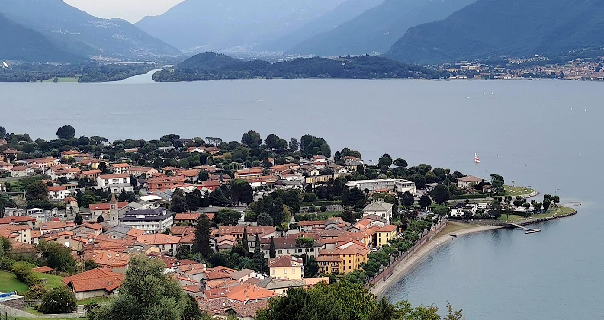
An upper-lake village with a long beach and areas for sailing, windsurfing and kitesurfing.
6 min
Colico
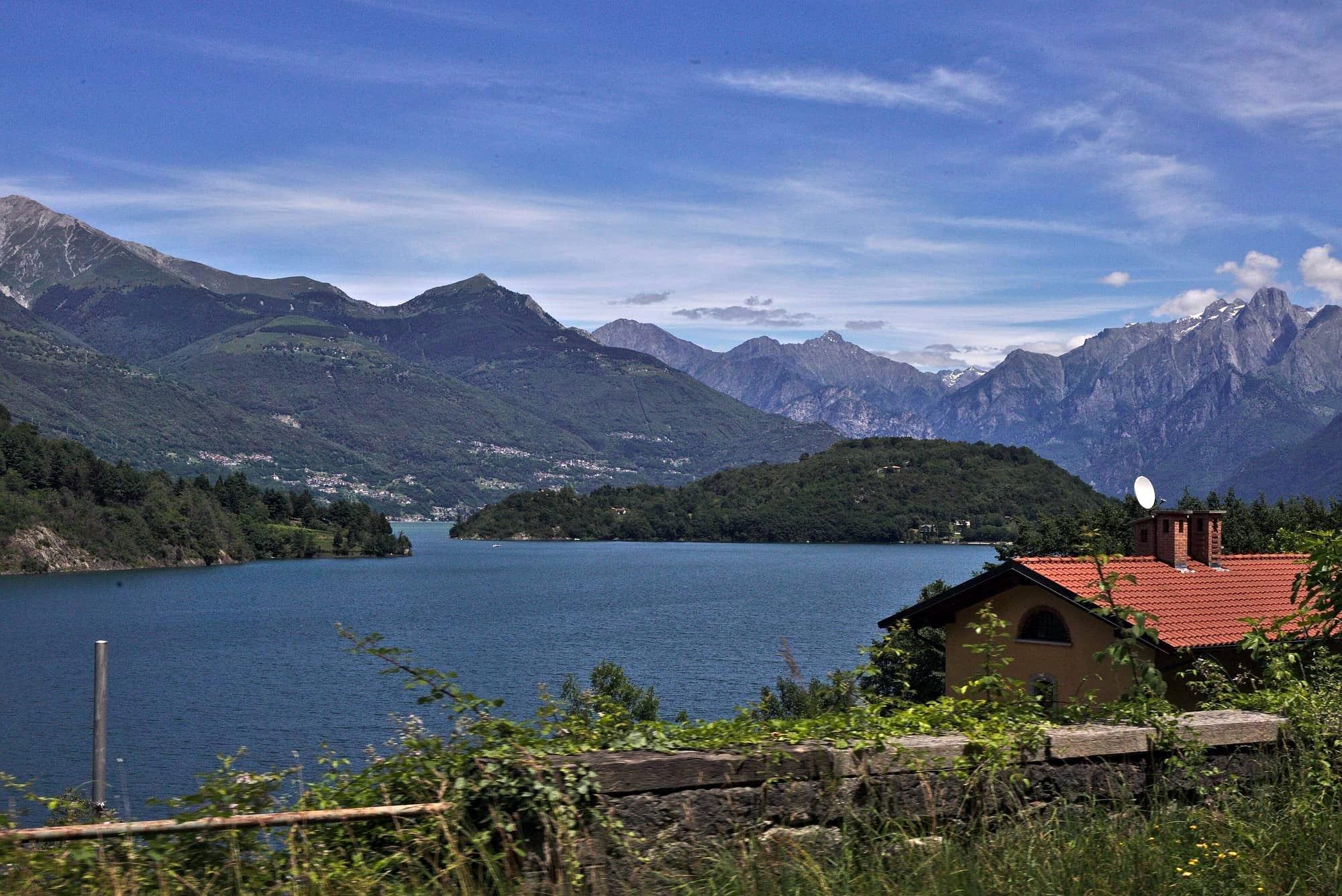
A railway junction between Lake Como, the Valtellina and the Valchiavenna.
12 min
Sources and credits
- Maps, parking, services and distances: © OpenStreetMap contributors (ODbL).
- Freely licensed photographs: authors and licences under Photograph credits.
Sources and credits
- Maps, parking, services and distances: © OpenStreetMap contributors (ODbL).
- Freely licensed photographs: authors and licences under Photograph credits.