Skip to content

Menaggio

La Crocetta

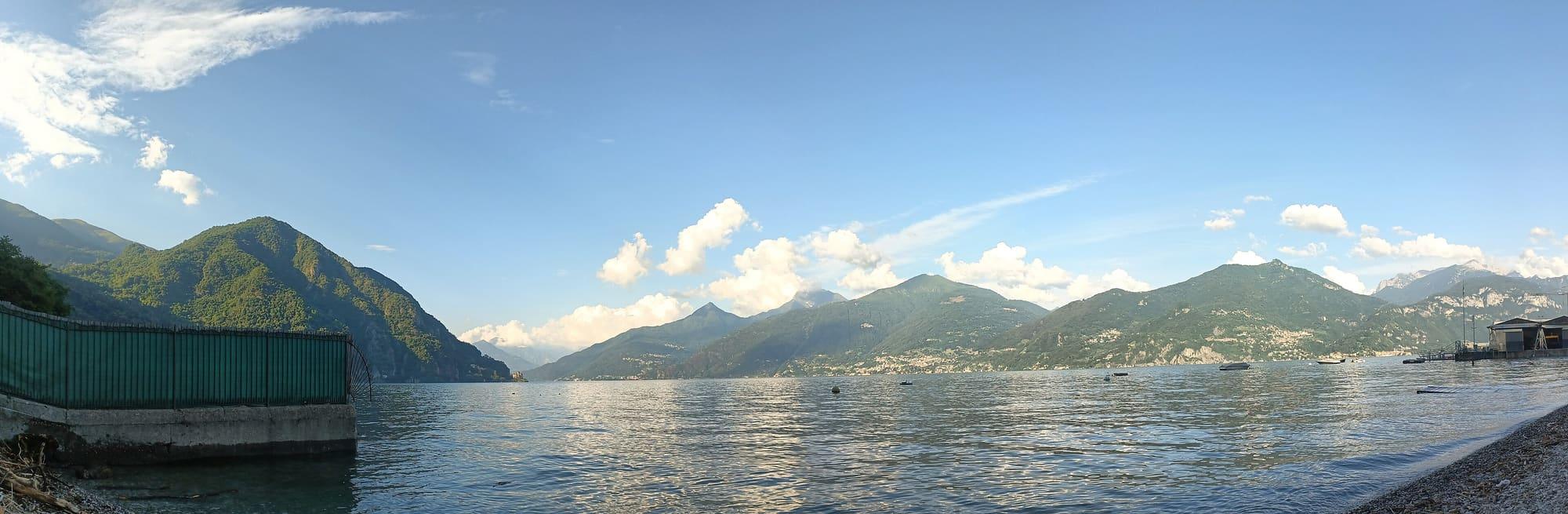
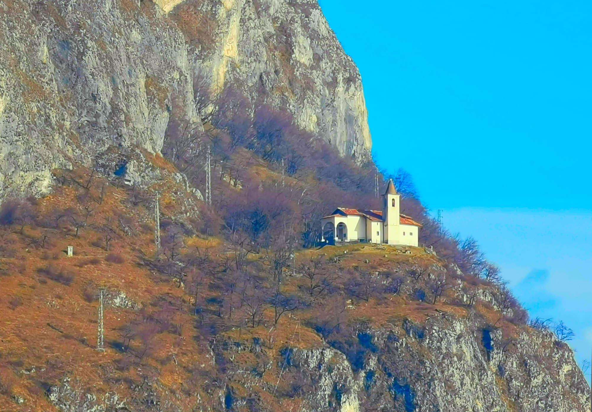
First World War trenches above Menaggio, with the whole centre of the lake in front.

Visit duration
1 h 30 – 2 h 30
Booking
Not required
Area
Centro Lago
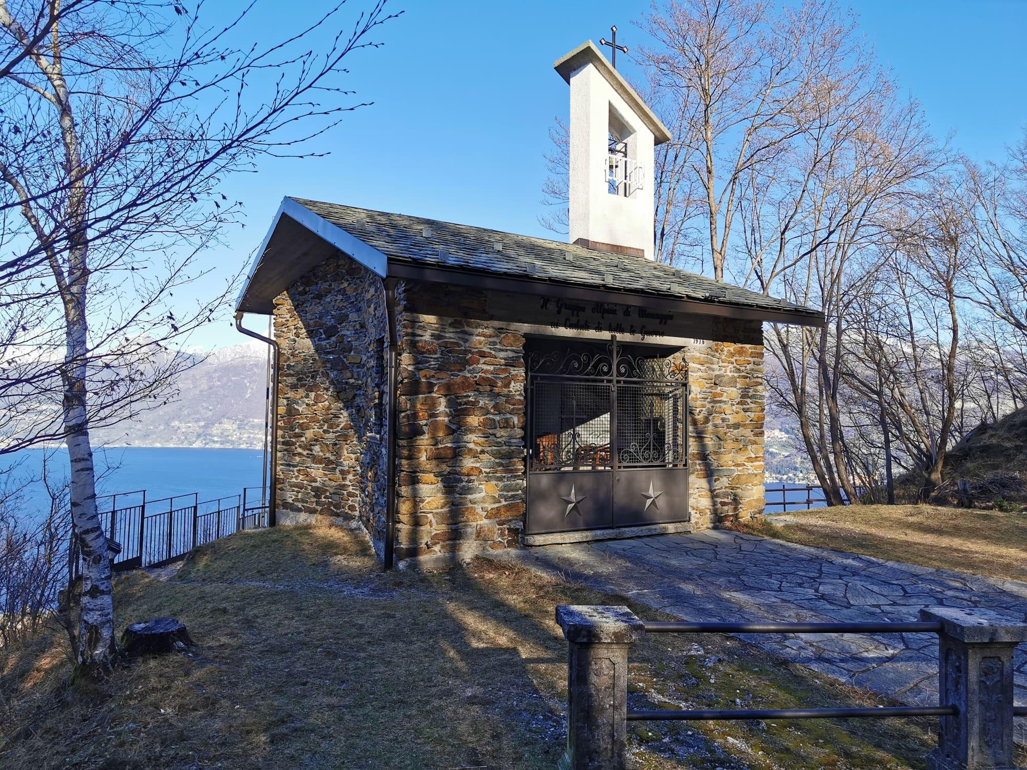
The Alpini chapel at the Crocetta, with the lake and the mountains behind.Kaitu · CC BY-SA 4.0
  • Nello Bizzoco · CC BY-SA 4.0
  • Benreis · CC BY-SA 3.0

1 / 3

The Alpini chapel at the Crocetta, with the lake and the mountains behind.

Kaitu · CC BY-SA 4.0

Why go

La Crocetta, above Menaggio, at an elevation of about 500 metres, keeps a stretch of the Cadorna Line.

In 1915, fearing an attack from the north, Italy fortified its border with Switzerland, and in the province of Como the line ran from the Bisbino to the Sasso Gordona, the Galbiga, the Crocione and on to here. The restored walkways run between armoured positions, troop shelters and observation posts, beside an Alpini chapel dedicated to the fallen. From the belvedere you see the centre of the lake, the Lecco branch, the Orobie Alps and, to the north, the upper lake.

  • From Croce, a forty-minute walk to the viewpoint over the centre of the lake.
  • You walk inside the trenches, with the lake appearing between the walls.

Highlights

  • The walkways and positions of the Cadorna Line
  • The belvedere over the centre of the lake
  • The Alpini chapel

Getting there

  • On foot from the hamlet of Croce, above Menaggio: about forty minutes and a hundred metres of ascent, by Via Wyatt and Via Pigato.
  • Croce is reached by car or by bus from Menaggio.

Accessibility

  • The detour to the Crocetta viewpoint is a narrow, steeply climbing path.

The mountains from here

The highest summit in view from here is Pizzo Cengalo, 3369 m, 42 kilometres away.

Kaitu · CC BY-SA 4.0

360° photograph

La Crocetta

Photograph by Kaitu (CC BY-SA 4.0), levelled · Summits © OpenStreetMap

Menaggio and the lake to the north from La Crocetta, with Monte Grona on the left.

  • Il Motto, 865 m, 4 km
  • Pizzo Ledù, 2505 m, 25 km
  • Sasso Canale, 2411 m, 25 km
  • Monte Galleggione, 3107 m, 44 km
  • Monte Gruf, 2938 m, 37 km
  • Pizzo Cengalo, 3369 m, 42 km
  • Monte Legnoncino, 1711 m, 13 km
  • Monte Legnone, 2609 m, 17 km
  • Monte Croce di Muggio, 1799 m, 11 km
  • Monte Rotondo, 2496 m, 21 km
  • Pizzo Melàsc, 2465 m, 22 km
  • Sasso Mattolino, 1508 m, 9 km
  • Pizzo di Zirlaca, 1408 m, 10 km
  • Il Pizzo, 1829 m, 13 km
  • Il Torrione, 1806 m, 13 km
  • Monte Regagno, 1627 m, 12 km
  • Sassi della Porta, 1311 m, 10 km
  • Sasso Basciotta, 2073 m, 16 km
  • Monte Pidaggia, 1528 m, 8 km
  • Mottone della Tappa, 2130 m, 16 km
  • Cima Pianchette, 2167 m, 13 km
  • Monte Grona, 1736 m, 6 km
  • Monte Bregagnino, 1905 m, 8 km

On the map

Explore the lake
MenaggioGrianteLa Crocetta

© OpenStreetMap contributors · ODbL

What's on nearby

Events within a few kilometres, on now or coming up.

See all

Nearby: places, experiences, services

Distances as the crow flies.

Sources and credits

Sources and credits