Skip to content

Upper Lake

Monte Legnone by the normal route

The Legnone's 2609-metre pyramid above Colico, from the Rifugio Roccoli Lorla by the Alpe Agrogno, the Porta dei Merli and the equipped ridge: for experienced hikers, from June to October.

Duration
6 h 30 – 8 h
Effort
Demanding
Access
Open to all
Car-free
Needs a car
With children
Not ideal
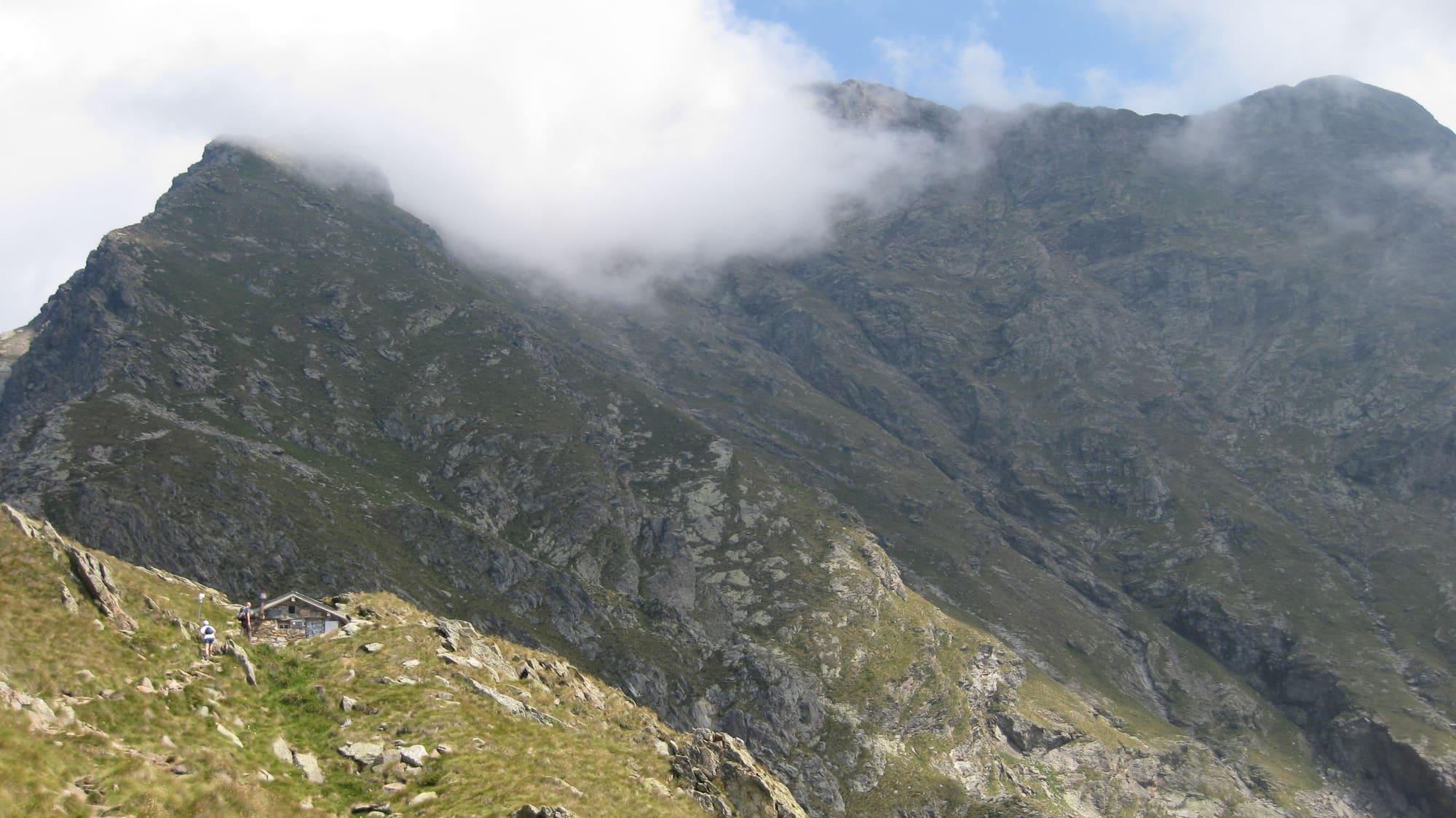
The Legnone's rocky flank with its ridge in the clouds, seen from the path; bottom left, the small bivouac hut on the grassy slope.Bibliopola · CC BY-SA 3.0
  • StefanoPorta67 · CC BY-SA 4.0
  • Massimo Macconi · Public domain

1 / 3

The Legnone's rocky flank with its ridge in the clouds, seen from the path; bottom left, the small bivouac hut on the grassy slope.

Bibliopola · CC BY-SA 3.0

How it works

At 2609 metres the Legnone is the highest summit in the province of Lecco and in the westernmost part of the Orobie Alps: it dominates the Colico plain and the upper lake, divides the Valtellina from the Val Varrone and has the shape of a pyramid. The normal route starts from the Rifugio Roccoli Lorla, at 1463 metres, on the path behind it; following the signs for Agrogno you climb through a larch wood to the Alpe Agrogno, at 1644 metres. Then the climb steepens into zigzags up to where the ridge narrows and is exposed, passable thanks to fixed ropes. Beyond the spur you reach the Porta dei Merli pass, at 2129 metres, and just after it the level ground of the Bivacco Silvestri, called Cà de Legn, at 2146. From there the route is demanding: it climbs more steeply among the rocks, with metal ropes in places, to the meeting of the west and north ridges, and by the equipped ridge and the last small rocks reaches the big summit cross, three and a half hours from the hut. From the top you see much of the Alpine arc, from Monviso to the Ortler, with the Disgrazia, the peaks of the Val Masino, the Valle del Mera and the lake. You come down the same way.

  1. Twelve kilometres there and back with 1200 metres of climb from the Rifugio Roccoli Lorla: more than three and a half hours up and three down. It is a difficult climb, grade EE: long and steep, with exposed stretches and small rocks equipped with ropes and fixed steps.
  2. Go from June to October; with snow or ice the climb is not advised. The north winds from the Val Chiavenna can make it hard on some days: check the weather forecast before setting off.
  3. The Rifugio Roccoli Lorla is reached by car from Dervio on provincial road 67 up the Val Varrone to Tremenico, then by a very narrow paved road; the Bivacco Silvestri, at 2146 metres, is unmanned.

WhereColico · Dervio

On the map

Explore the lake
ColicoDervioMonte Legnone by the normal route

© OpenStreetMap contributors · ODbL

Nearby: places, experiences, services

Sources and credits

Sources and credits