Skip to content

Lecco Branch

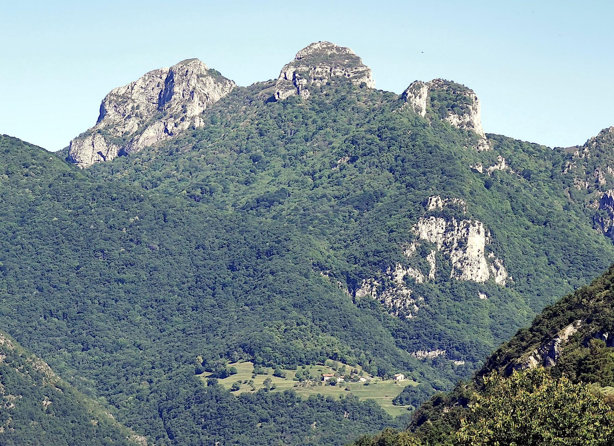
Monte Cornizzolo from the Valle dell'Oro

The summit above the Brianza lakes, between Como and Lecco: by the Valle dell'Oro mule track to San Pietro al Monte, then by path 10 to the Rifugio Marisa Consigliere and the summit cross, and down by path 11.

Duration
5 h 30 – 6 h 30
Effort
Moderate
Access
Open to all
Car-free
Yes
With children
Not ideal
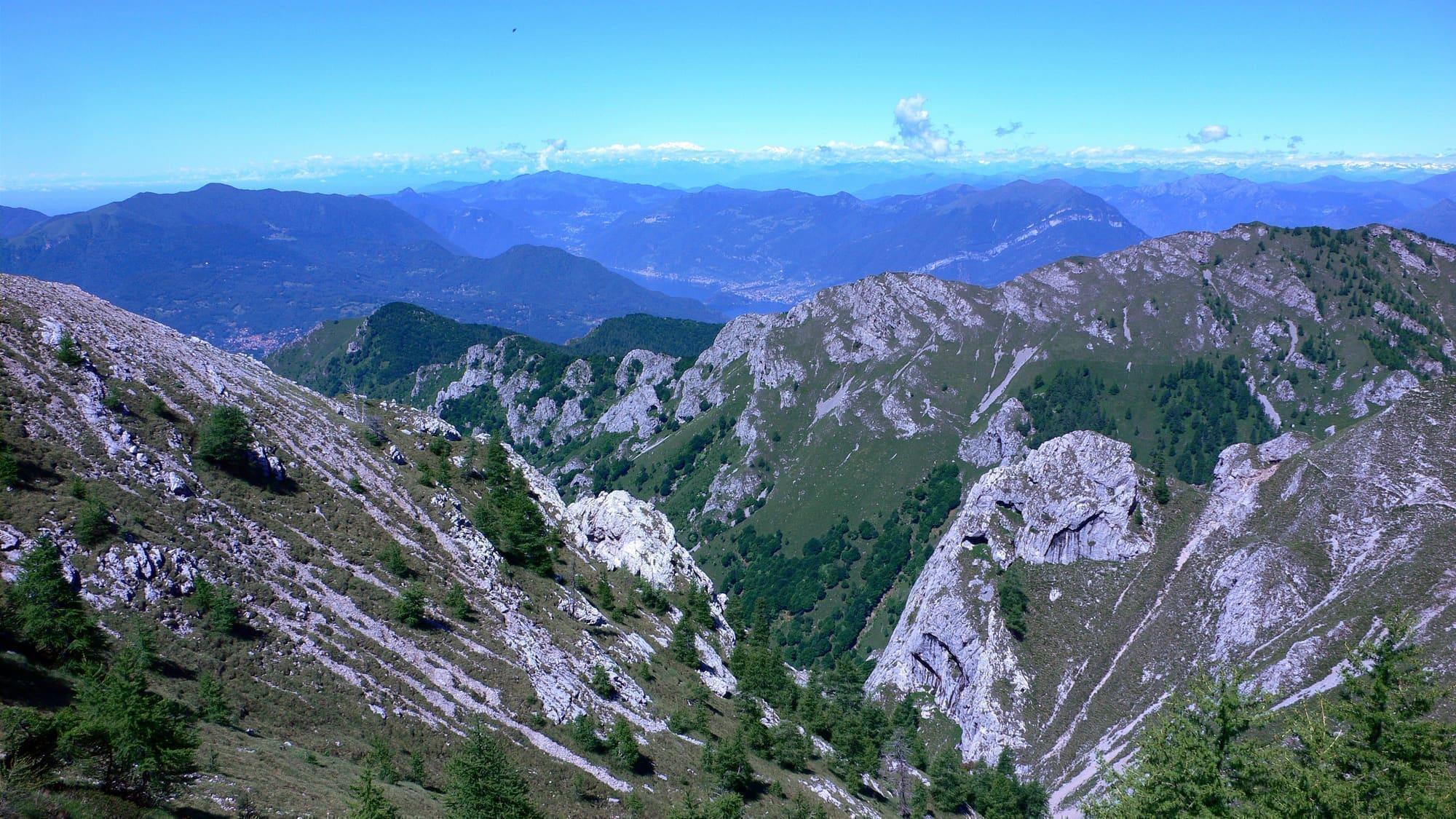
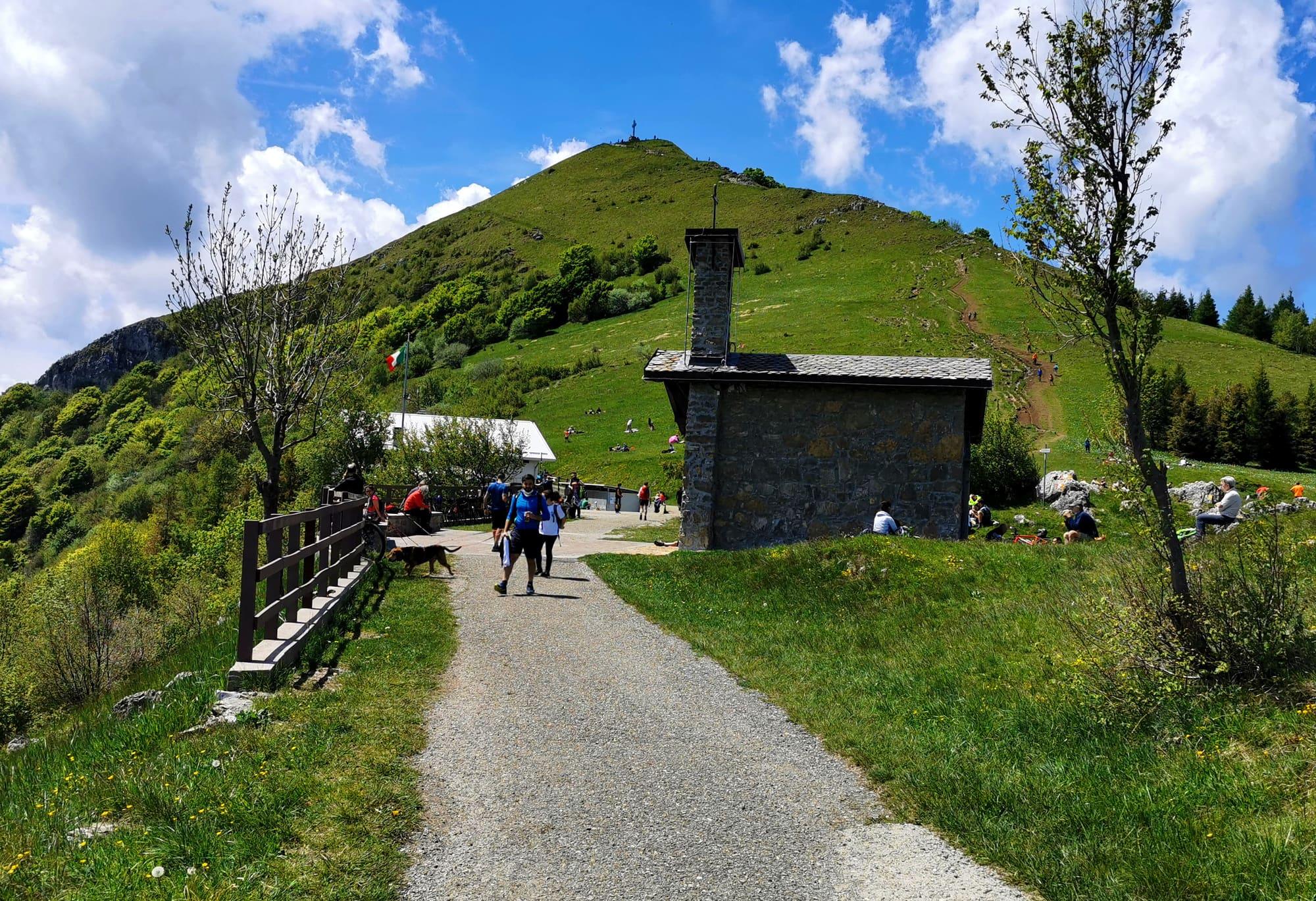
The grassy summit of the Cornizzolo with its cross, seen from the Rifugio Marisa Consigliere: in front, the Alpini's stone chapel and the lane with walkers.Mario Falcetti · CC BY 4.0
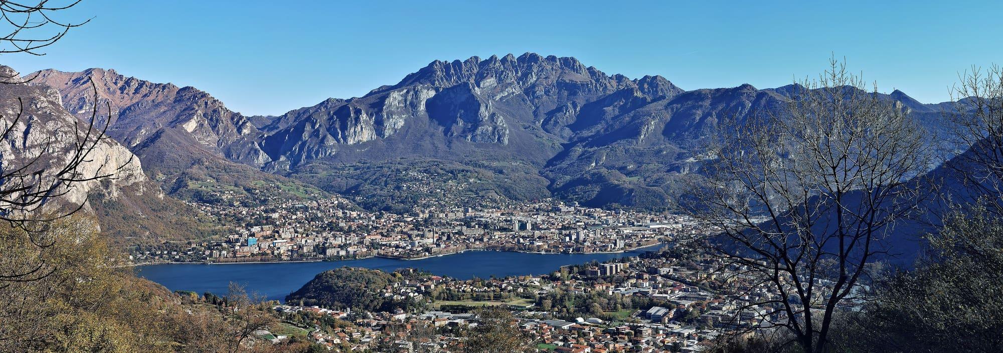
  • Mænsard vokser · CC BY-SA 4.0
  • Kaitu · CC0
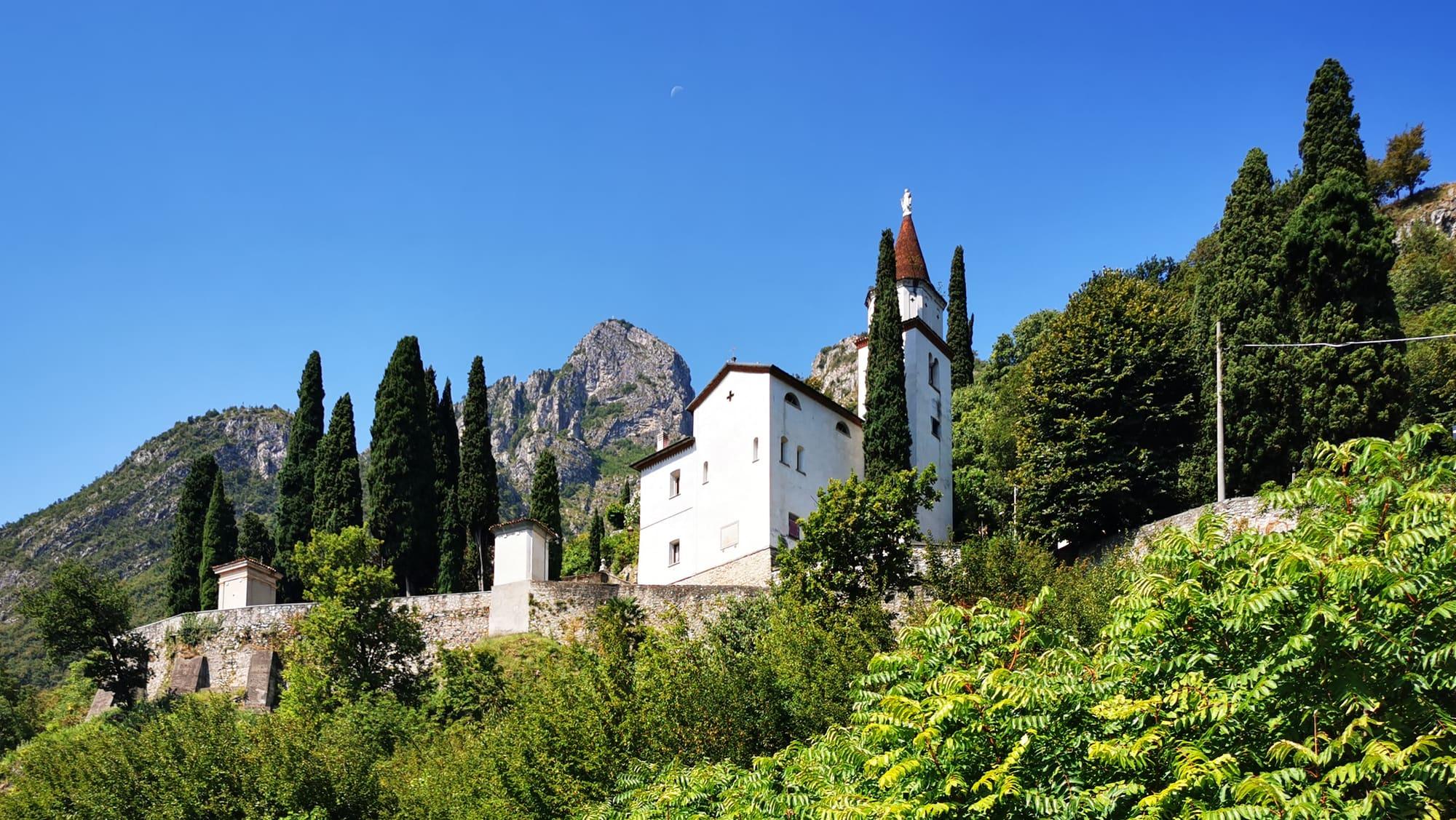
  • Luca Casartelli · CC BY-SA 3.0

1 / 4

The grassy summit of the Cornizzolo with its cross, seen from the Rifugio Marisa Consigliere: in front, the Alpini's stone chapel and the lane with walkers.

Mario Falcetti · CC BY 4.0

How it works

The climb up Monte Cornizzolo is an easy walk, suitable for children too, with a view of the lake; Civate's network of paths also reaches Monte Rai and the Corno Birone.

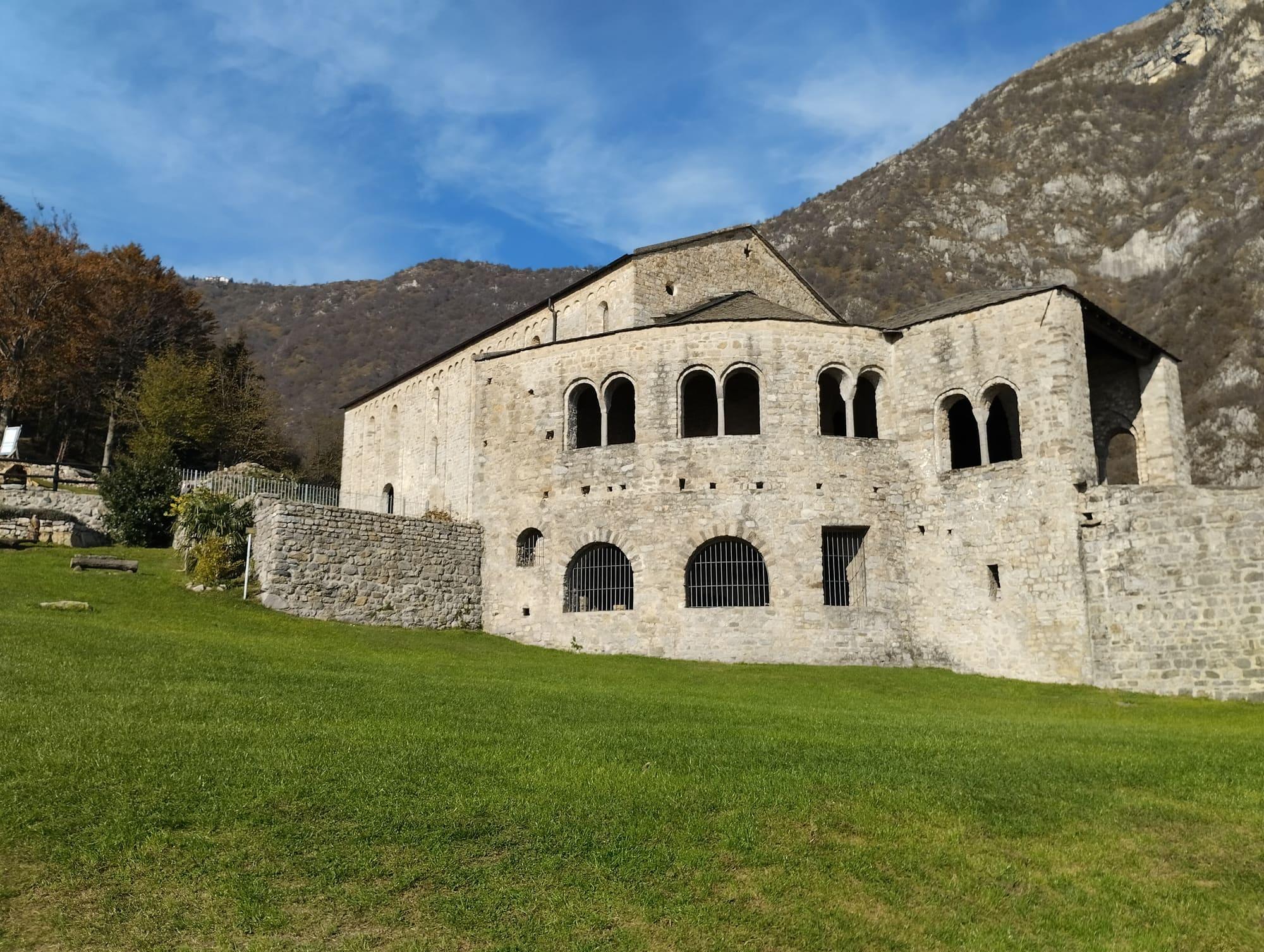
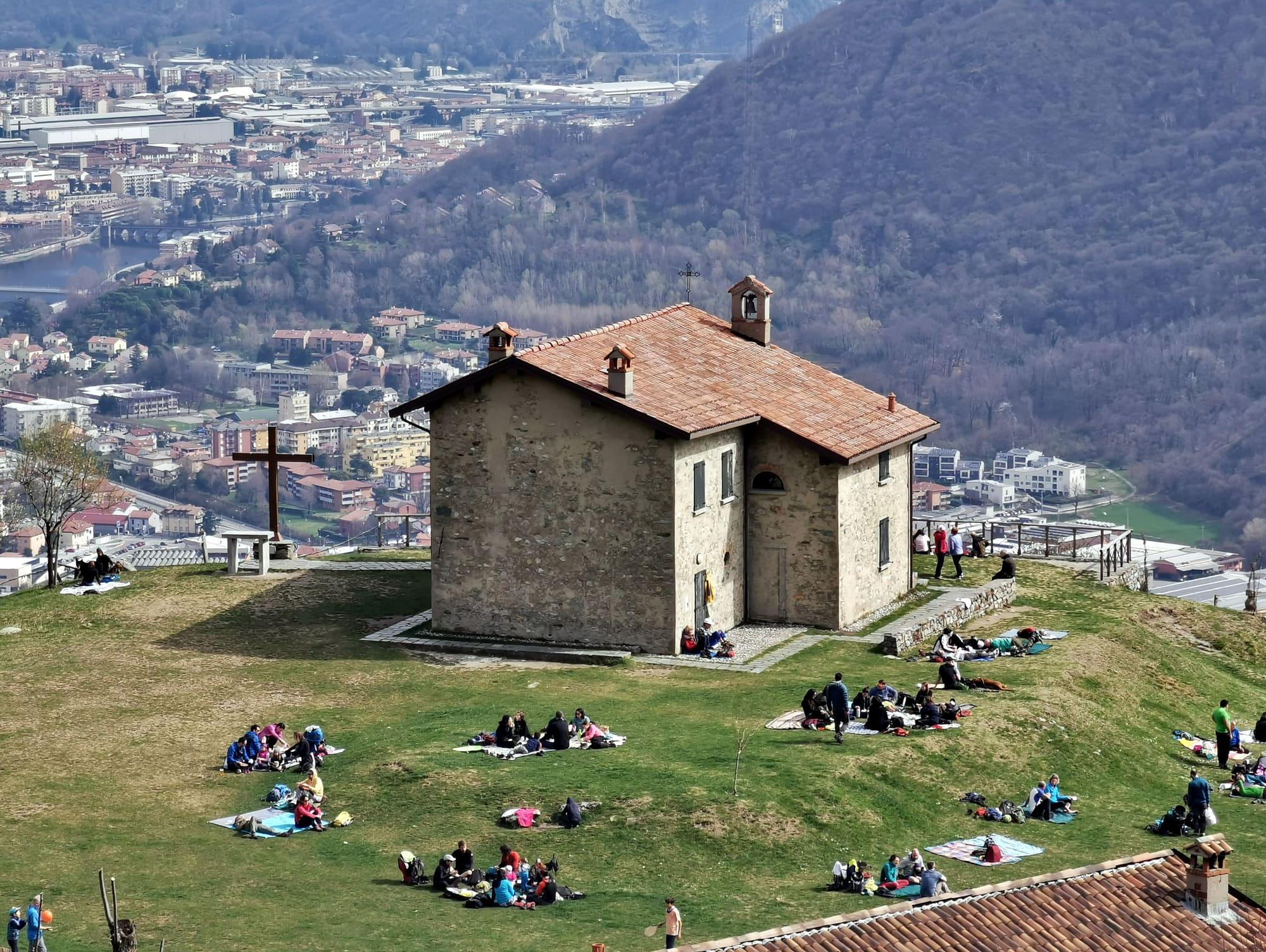
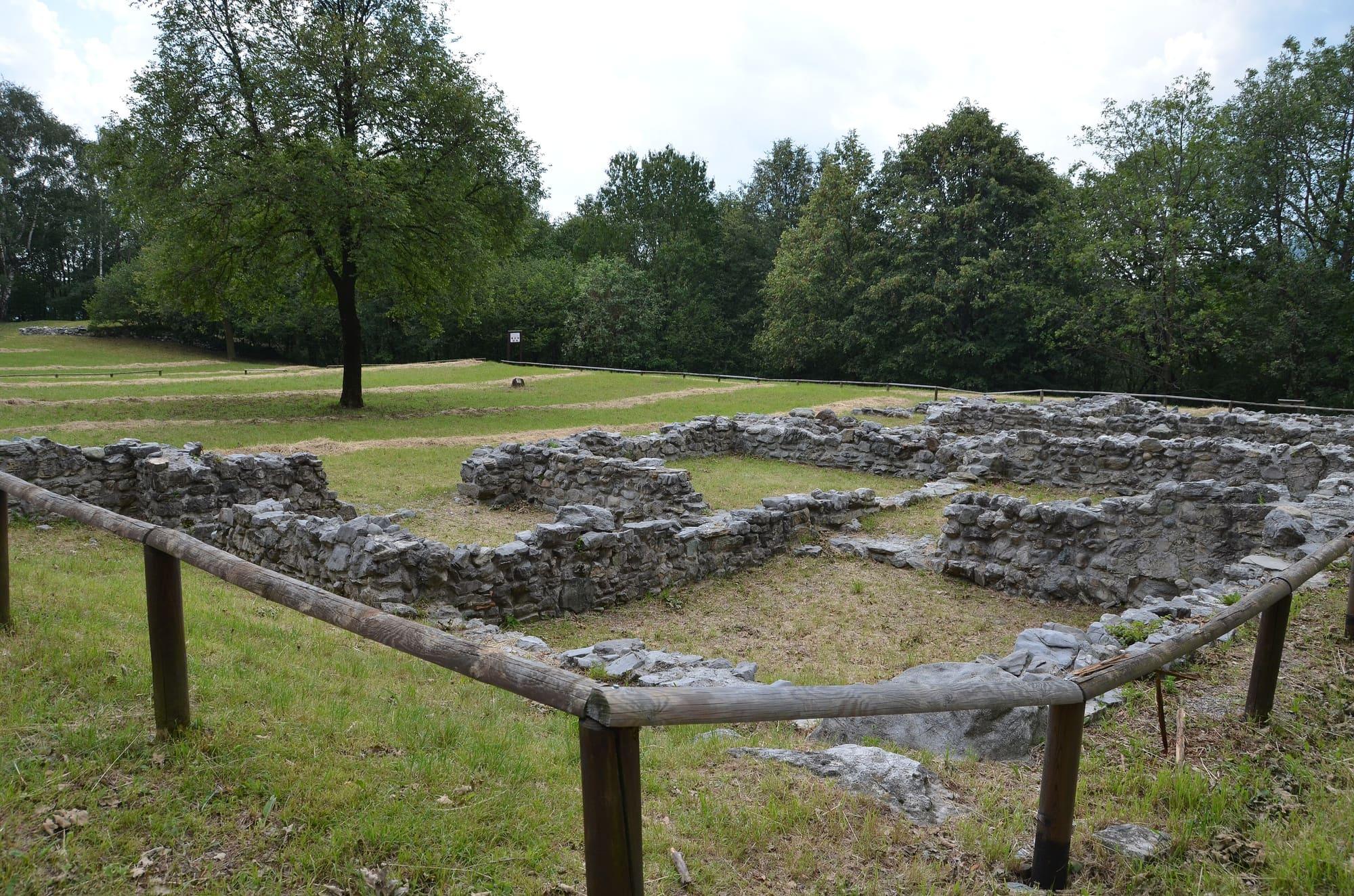
The Cornizzolo lies between the provinces of Como and Lecco. On the summit stands a wrought-iron cross made by the smiths of Canzo, while the old stone cross is kept beside the Alpini chapel on the Cornizzolo plateau; a little lower, at about 1100 metres, is the Rifugio Marisa Consigliere. Hang-gliding and paragliding pilots know the mountain for a take-off field used almost all year, and on a saddle towards Monte Rai, again at about 1100 metres, a Mesolithic site has been found, perhaps a seasonal hunting camp. The classic loop starts from Civate: from the locality of Pozzo you climb the mule track of the Valle dell'Oro to the Romanesque basilica of San Pietro al Monte, then path 10, by the Val della Porta variant, to the Rifugio Consigliere and the summit, at 1240 metres, and you come back by path 11, looking over the lakes of the Brianza. From the top the view runs from the Grigne and the Resegone to the Corni di Canzo and widens over the plain and the Brianza as far as the skyscrapers of Milan. The first stretch is the path to San Pietro al Monte, and half way up you can stop at the basilica and the oratory of San Benedetto.

  1. The loop is graded E, for hikers, and has no technical difficulties, but it is long: twelve kilometres and 940 metres of climb from Civate, three hours up and three back, with water along the way.
  2. The first stretch is path 10 to San Pietro al Monte: from Pozzo or the Valle dell'Oro it is about 350 metres of climb and an hour's walk; wear boots or hiking shoes.
  3. Civate is served by trains on the S7 Monza–Molteno–Lecco line and by buses on the C140 Lecco–Erba–Como line, with the handiest stop at Civate Paese Municipio; drivers should set their satnav to Civate or one of its car parks, not to the abbey.
  4. The Cornizzolo can also be reached from the Terz'Alpe, in the Corni di Canzo regional forest, in an hour and a half, with 500 metres of climb.

WhereMalgrate · Valmadrera

On the map

Explore the lake
MalgrateValmadreraMonte Cornizzolo from the Valle dell'Oro

© OpenStreetMap contributors · ODbL

Nearby: places, experiences, services

Sources and credits

Sources and credits