Skip to content

The Triangle

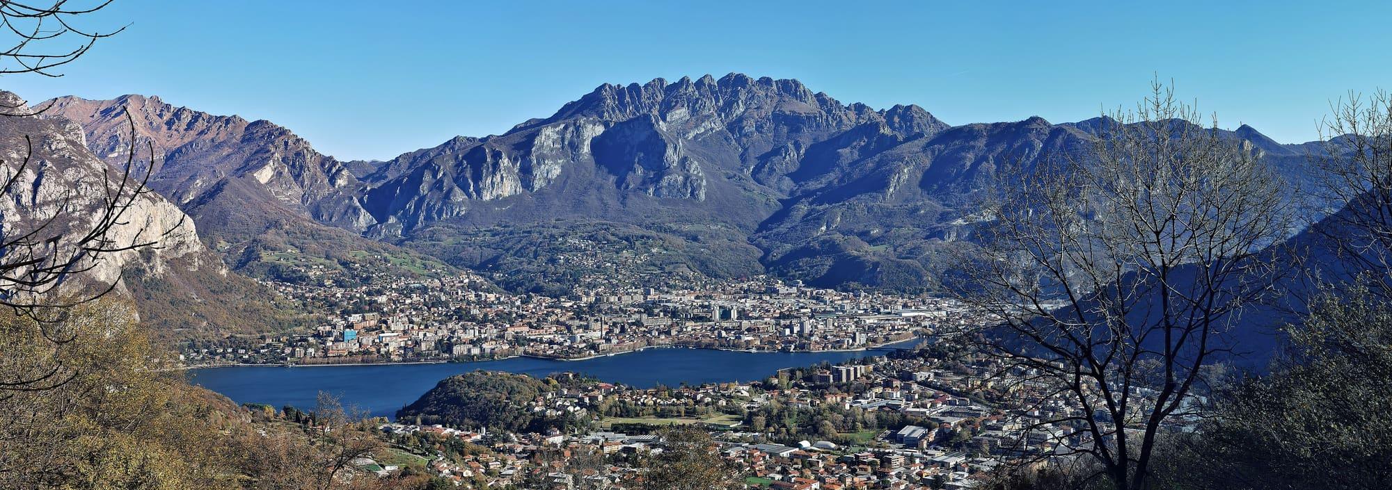
The Corni di Canzo from Valmadrera

The three limestone summits of the Triangolo Lariano: from Valmadrera by the Sambrosera spring to the Rifugio SEV at Pianezzo and on to the horns, or from Canzo by the Fonti di Gajum and ERSAF's regional forest.

Duration
5 h – 7 h
Effort
Demanding
Access
Open to all
Car-free
Yes
With children
Not ideal
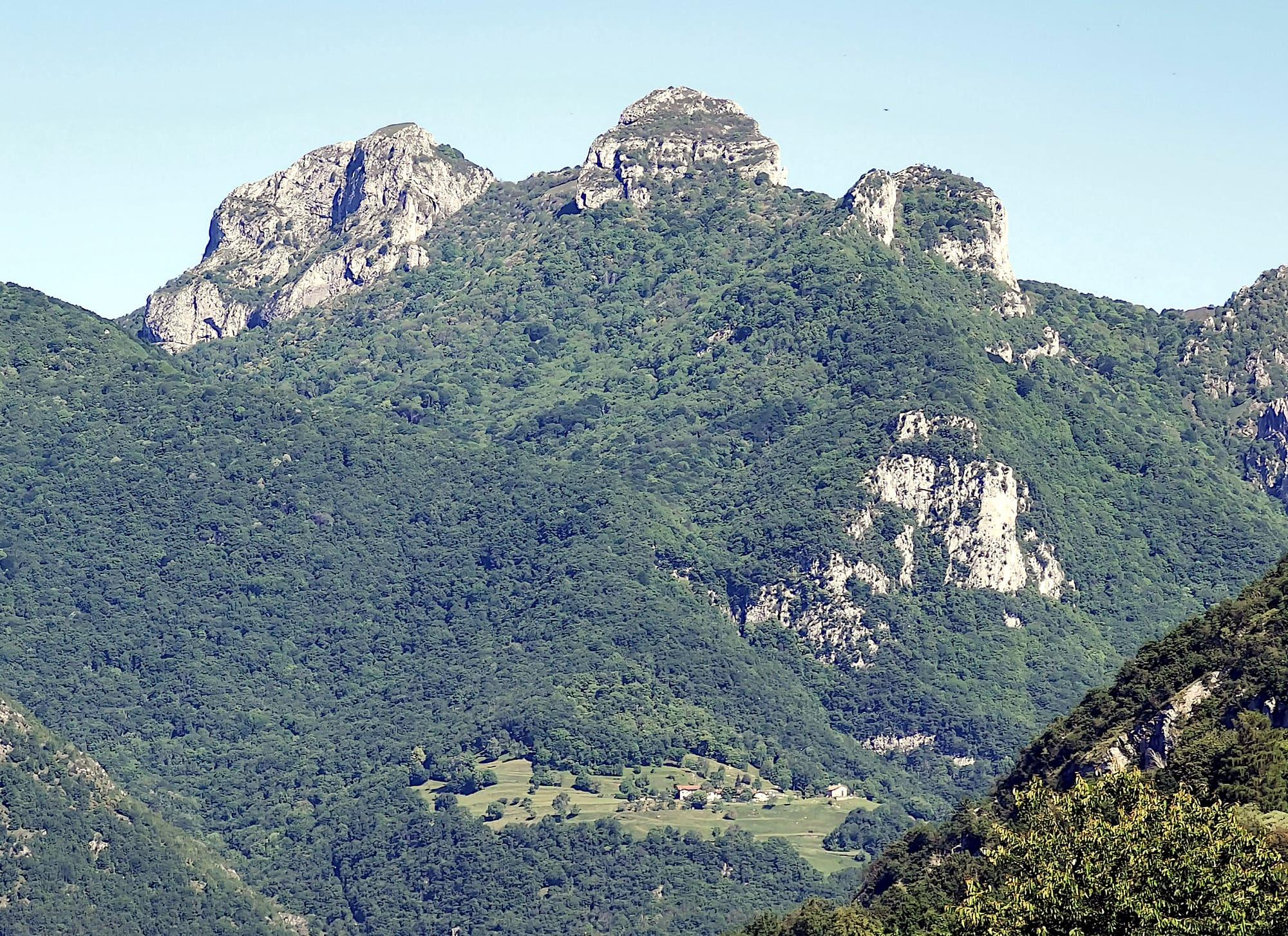
The three pale rock horns above slopes covered in woods, seen from the south-east; below, in the middle of the forest, the meadows of San Tomaso.Kaitu · CC0
  • Mario Falcetti · CC BY 4.0
  • Mænsard vokser · CC BY-SA 4.0

1 / 3

The three pale rock horns above slopes covered in woods, seen from the south-east; below, in the middle of the forest, the meadows of San Tomaso.

Kaitu · CC0

How it works

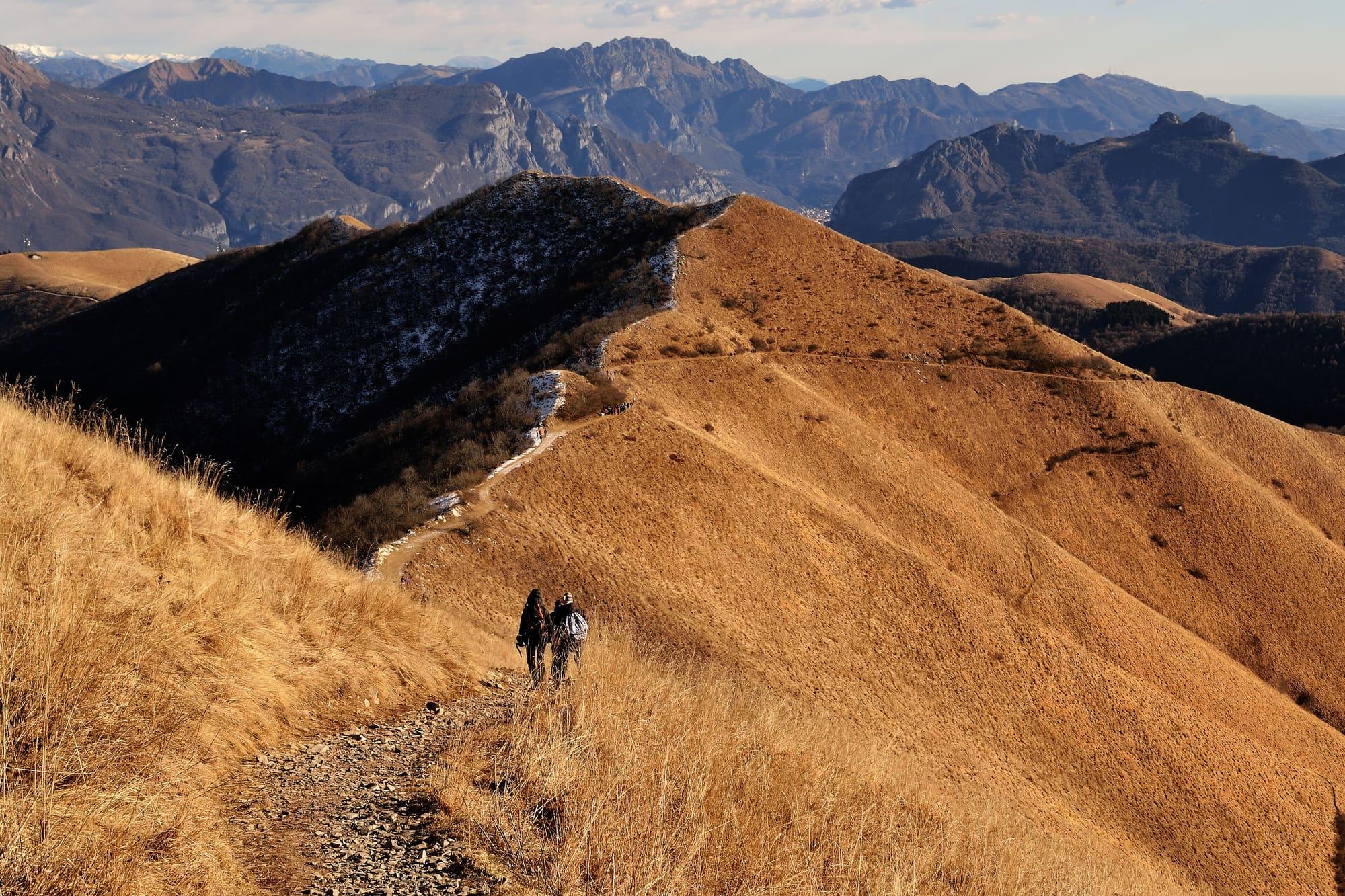
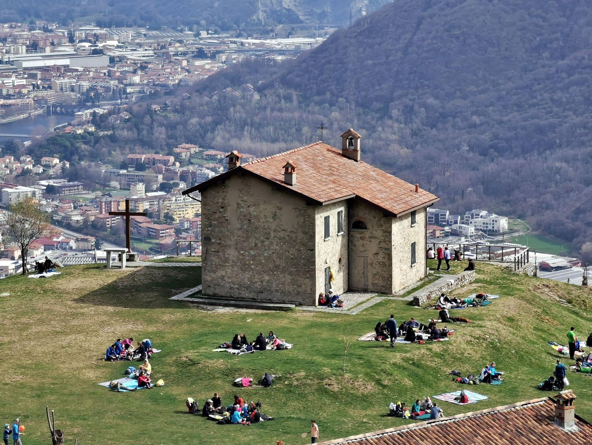
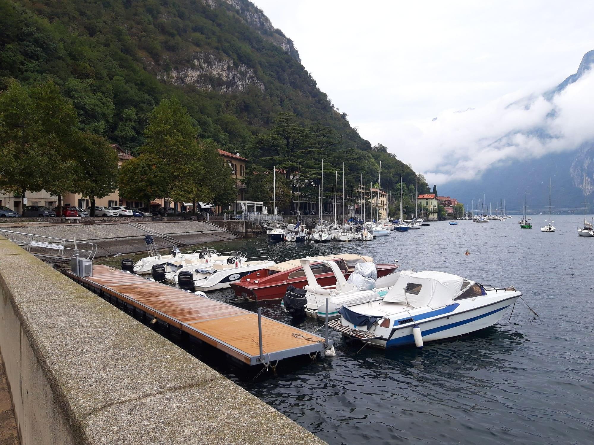
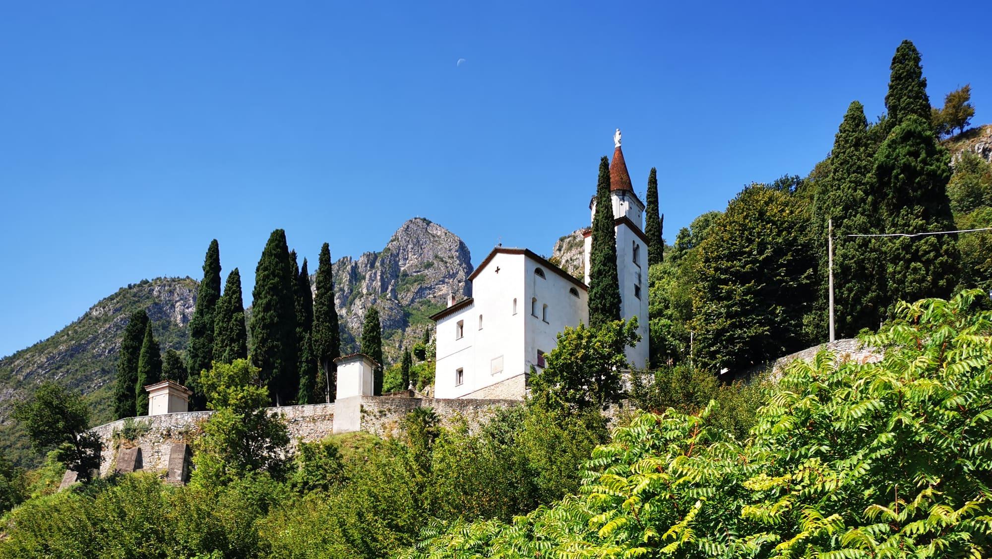
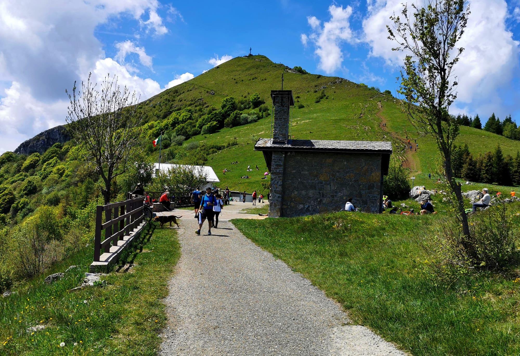
The Corni di Canzo regional forest, managed by ERSAF for the Lombardy Region, covers 450 hectares in Canzo, with a small part in Valbrona, from the head of the Val Ravella to the top of the Corno Occidentale; the limestone massif of the Corni closes it to the north, the ridge of the Sasso Malascarpa and the Cornizzolo to the south. The three summits stand in a row from east to west: the Corno Orientale, at 1232 metres, the Centrale, at 1368, and the Occidentale, the highest, at 1372. They are the highest peaks of the range between the Lambro and the Lecco branch of the lake. From Valmadrera you climb to the Belvedere quarter and the VARS chapel, then up the wooded Val Boa to the Sambrosera spring, at 716 metres. Here the paths divide. The classic one, number 7, passes under the overhang of the Tecc di Port, where a natural cave gives shelter from bad weather, and climbs a small valley below the wall of the Corno Orientale to the Val Puma saddle at Moregge, at 1110 metres. The other touches the Corno Rat, at 906 metres, climbs the Val Gatton through beech and chestnut to the Acqua del Fò, a spring in the shade of a great beech, and zigzags up to the Bocchetta di Luera, at 1221 metres, between the Corno Centrale and the Orientale. Both reach the Alpe di Pianezzo and the Rifugio SEV, at 1225 metres: volunteers of the Società Escursionisti Valmadreresi began building it in May 1960, carrying the materials up by mule, and it opened on 13 September 1964. From the hut you climb to the three summits.

  1. Both paths from Valmadrera are hiking paths (E), with 935 metres of climb: two and a half hours by the Bocchetta di Sambrosera and Moregge, two and a quarter by the Bocchetta di Luera.
  2. From the hut to the summits: the Corno Orientale is the easiest, forty minutes and 143 metres of climb over scree and grass by the Bocchetta di Luera; the Centrale takes three quarters of an hour and 143 metres on traces between bushes and grass, with a little rock; the Occidentale, three quarters of an hour and 148 metres, climbs broken rock in a gully on the north face and is for experienced hikers (EE).
  3. From Canzo the most direct way starts at the Fonti di Gajum, at 485 metres: track and woodland path with waymarks 1 and 5, by the Prim'Alpe and the colletta dei Corni, three hours and 740 metres of climb, grade E. The Val Ravella geological trail also starts at the Fonti di Gajum, a little over an hour to the Terz'Alpe; from there to the Corni takes an hour and a half and 580 metres of climb, on an ascent for experienced hikers, best avoided after rain or with ice.
  4. Check whether the Rifugio SEV is open before planning a stop or an overnight stay.
  5. Valmadrera has its own station on the Milan–Molteno–Lecco line, and the Lecco–Erba–Como bus runs from Lecco station; Canzo is reached on the trains to Asso, at Canzo-Asso station. The Corno Occidentale and the Corno Rat also carry two via ferratas, short but technical and exposed.

WhereValmadrera

On the map

Explore the lake
ValmadreraThe Corni di Canzo from Valmadrera

© OpenStreetMap contributors · ODbL

Nearby: places, experiences, services

Sources and credits

Sources and credits